Download Agreement, Release, and Acknowledgement of Risk:
You (the person requesting this file download) fully understand mountain climbing ("Activity") involves risks and dangers of serious bodily injury, including permanent disability, paralysis, and death ("Risks") and you fully accept and assume all such risks and all responsibility for losses, costs, and damages you incur as a result of your participation in this Activity.
You acknowledge that information in the file you have chosen to download may not be accurate and may contain errors. You agree to assume all risks when using this information and agree to release and discharge 14ers.com, 14ers Inc. and the author(s) of such information (collectively, the "Released Parties").
You hereby discharge the Released Parties from all damages, actions, claims and liabilities of any nature, specifically including, but not limited to, damages, actions, claims and liabilities arising from or related to the negligence of the Released Parties. You further agree to indemnify, hold harmless and defend 14ers.com, 14ers Inc. and each of the other Released Parties from and against any loss, damage, liability and expense, including costs and attorney fees, incurred by 14ers.com, 14ers Inc. or any of the other Released Parties as a result of you using information provided on the 14ers.com or 14ers Inc. websites.
You have read this agreement, fully understand its terms and intend it to be a complete and unconditional release of all liability to the greatest extent allowed by law and agree that if any portion of this agreement is held to be invalid the balance, notwithstanding, shall continue in full force and effect.
By clicking "OK" you agree to these terms. If you DO NOT agree, click "Cancel"...
I was fortunate to find the 14ers.com community just a few months after moving to Colorado in May 2021. As soon as I got here, I was hooked – drawn in by the checklist, motivated by the skill progression. After a year of warrioring weekend after weekend, I found myself at 36/58, but I was eager for something more sustained, a longer trip to attempt many of the tougher, more remote peaks that sat unclimbed on my list.
With that desire, I was fortunate to receive some extended time off from work this summer, and, after a relaxing family vacation to Maine to kick off July, I returned back to the land of 14ers, eager to venture out.
With the Subbie primed and ready to serve as my temporary lodging, I left Arvada on July 12th with South Colony Lakes in the GPS, armed with the hope that the trailhead road would be just not terrible enough to allow me to make it up.
Day 1: July 13th 2022 - Crestone Peak and Crestone Needle (15.5 miles, 7k vert)
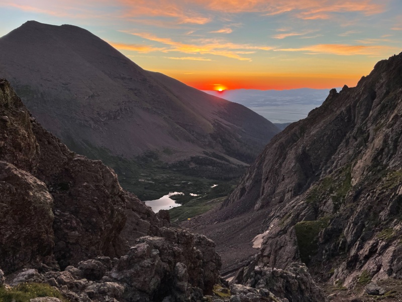
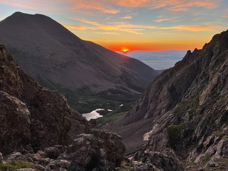
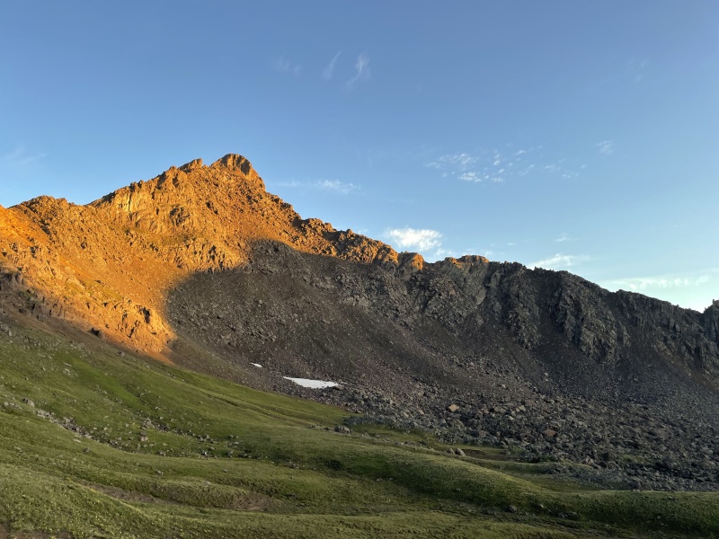
The alarm buzzed at 2am and I rolled out of my sleeping bag and landed on the trail. Raw, alpine glow greeted me as I headed up Broken Hand Pass.
Sunrises like this make 2am starts worth the effort
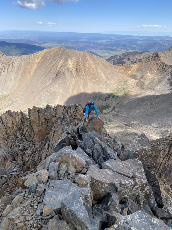
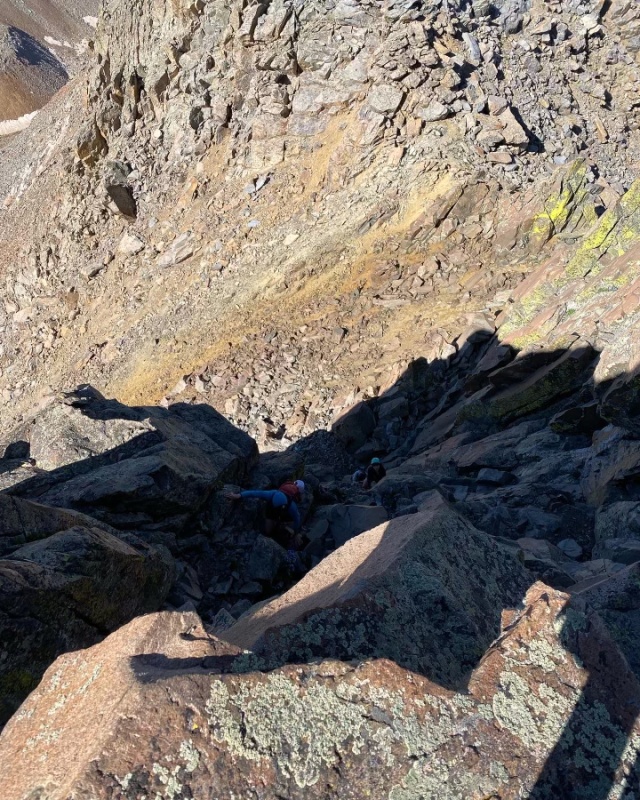
After taking a few photos at the top, I headed down to Cottonwood Lake and over to the Red Gully. Some water streamed down the gully as I worked to do the opposite, and, a short while later, I topped out on the Crestone Peak summit. I had debated for a while prior whether or not to go for the traverse, but, being solo, and because I love extra mileage and vert wherever possible, decided to do the Needle independently. On my way back down to Cottonwood Lake, I ended up descending past the lake onto the Cottonwood trail a bit and had to slog back up (did I mention I like doing extra vert?). This mistake, combined with the sun which was now beating down, had me a bit more tired than usual as I came back up to the pass and started up the Needle. However, as I would find out throughout this trip, a great cure for trail tiredness is some scrambling, and I enjoyed the climb.
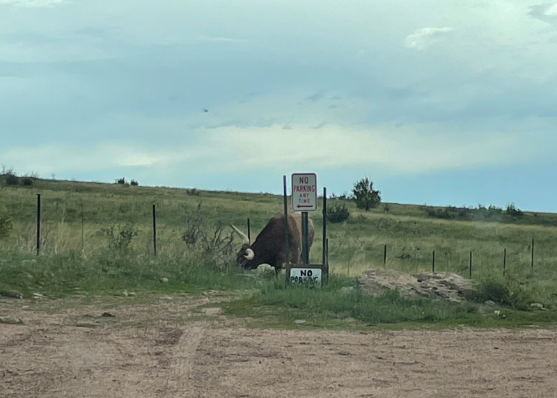
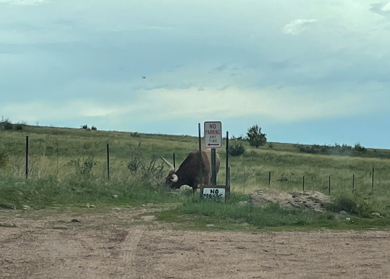
A few hours later I was back at the car, camping down the road at the lower trailhead, while a rouge full-horned cow pranced around the lot.
A loose horned cow munching to his heart's desire at the lower south colony lakes trailhead
Day 2: July 14th, 2022 - Rest Day
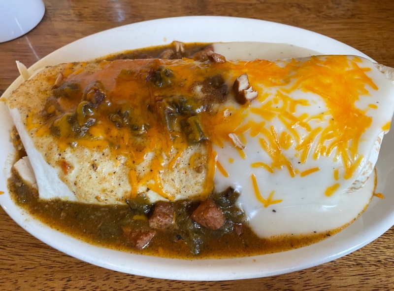
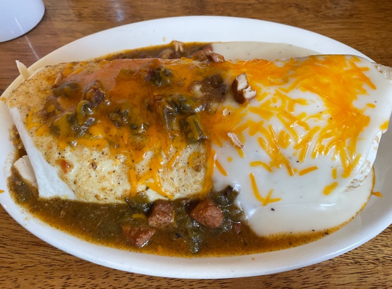
I love a good breakfast and boy did I find it at Silver Cliff Mountain Inn in Silver Cliff. This place is awesome if you like great food and huge portions.
Foot long breakfast burrito smothered half in green chili and half in queso
After breakfast, I wandered around Westcliffe a bit, recharging both my devices and my body. I stopped in at All the Range Mountaineering and Outdoor Gear, a local gear shop in town, and chatted with the owner, Tom. He’s kind, knowledgeable, and still tries to get out and climb whenever he can. He told me there’s a spot – Twice the Ice - to refill water just up the road a bit – 25 cents for 3L of fresh, purified water.
Restocked, I began driving to my camp spot for the night – 8200’ up Lake Como Road. I could have forced the Suub up a bit further, but after getting all the way up South Colony Lakes, I decided she’d done enough.
Day 3: July 15th, 2022 - Blanca Peak and Ellingwood Point (16 miles, 6.8k vert)
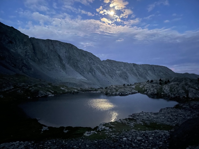
A big day meant another 2am start with typical July weather patterns expected. I knew it was important to get up to the peaks quickly and so I hauled a** up Como Road, racing to the lake in about 2 hours, just past 4am. I was really proud of this – backpackers were all still in their tents aside from 2 headlamps a quarter of the way up the first Little Bear gully.
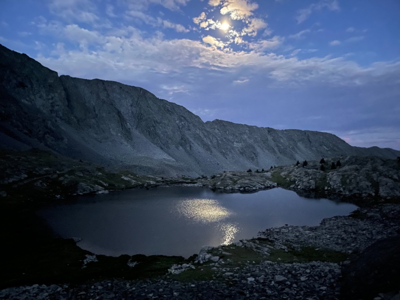
Moonlight reflecting off the lake was a great reward after racing up Lake Como road. After 2 years of owning an iPhone 12, I'm finally getting the hang of night mode photos!
I continued to find rare summer solice in the Blanca group as I ascended the peak, reaching the summit without a hiccup slightly before 7:30. I enjoyed analyzing the Little Bear – Blanca traverse from up-close. I’m possibly eyeing for later this summer – though, my main reaction was “f*** no,” so I’m not sure seeing the ridge in it’s entirety helped boost my desire to climb it. Maybe it’s all part of the cycle of emotions. We’ll see.
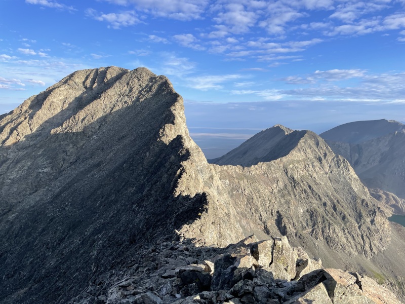
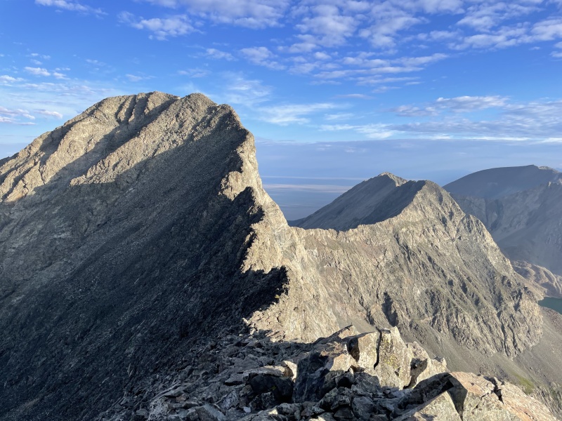
While I struggled to comprehend the LB-B ridge, I started on the ridge over to Ellingwood. I was struck by how similar to the Sawtooth it looked and felt.
Blanca-Ellingwood Ridge. Sawtooth vibes
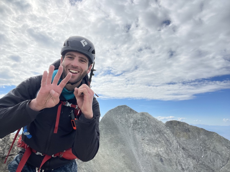
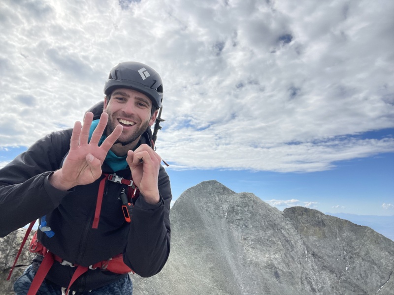
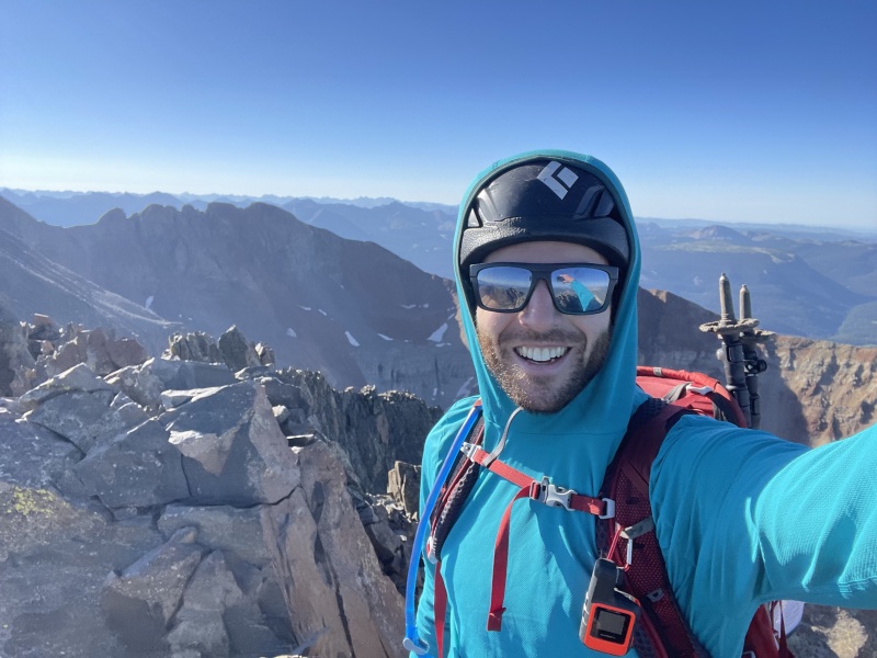
Two hours of really enjoyable scrambling later, I was on top of Ellingwood, taking an awkward self-timer photo while flashing the 4-0 with my hands.
40 done. 18 to go!
I had read a recent condition report that talked about how the standard trail down Ellingwood was just bad, loose, scree, and the climber decided to reascend back to the ridge and take it down. I had a similar mindset and decided that more scrambling on the ridge sounded perfect, so I followed it back to the saddle and headed down the same way I climbed up.
My love for long day trips over overnighting was solidified as I saw backpacker after backpacker struggling up the road with heavy packs in the afternoon Sangre sun. I was back at the car, eating a well-earned bowl of Ramen when an older gentleman who I had seen a few miles earlier on the road (at that time, he seemed a bit tired, but was with a partner and relatively fine overall), came into view, alone, wobbling dramatically with every slow, extremely labored step, empty Nalgene dangling off his pack. I recognized the danger, refilled his water, and let him rest in my camp chair before driving him down a few hundred feet back to his vehicle. Turns out that a while earlier he had suggested to his partner to go off ahead and get the car ready. Big mistake – in his condition, he shouldn’t have suggested that and his partner definitely shouldn’t have agreed with it – but I feel it’s important to mention that his partner didn’t just “ditch him.” All’s well that ends well, but some good lessons to draw.
I drove into Blanca for dinner and then camped the night back at a low spot on the road.
Day 4: July 16th, 2022 - Rest Day
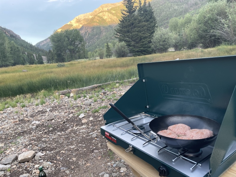
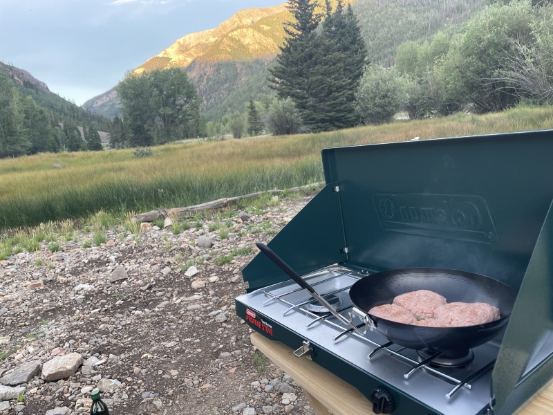
I took care of some much needed chores – getting an overdue oil change, sneaking into Anytime Fitness for a shower, and washing some clothes – as I enjoyed the beautiful drive to Lake City. I knew I was orphaning Little Bear, but I was eager to make progress in the San Juans. I grilled up some turkey burgers for dinner along the way to Matterhorn Creek Trailhead. The Subaru made it with ease to the spot before the final 0.6 miles becomes much rougher 4WD.
Dinner with a view
Day 5: July 17th, 2022 - Wetterhorn Peak and Uncompahgre Peak (17.5 miles, 6.4k vert)
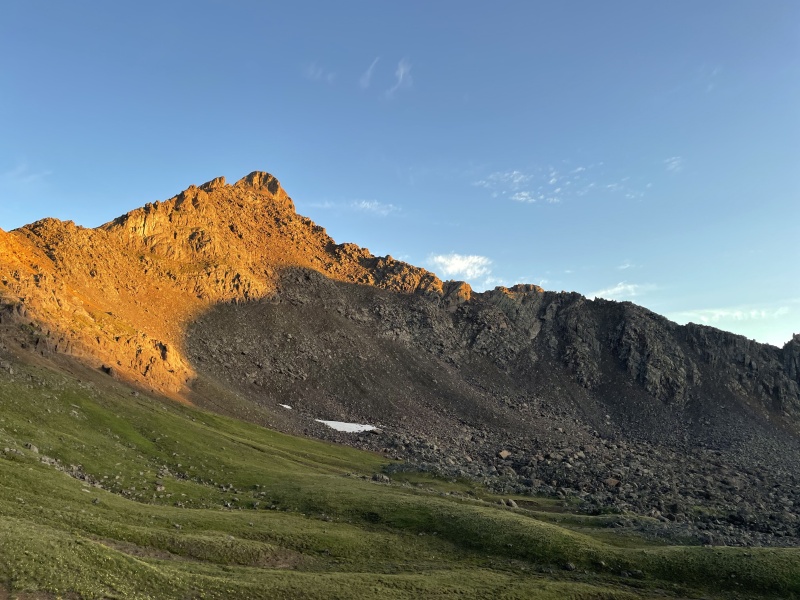
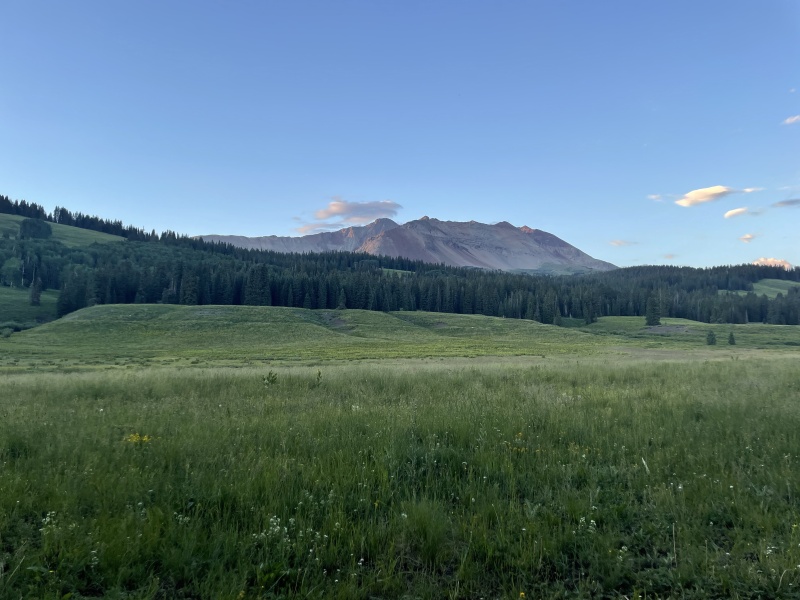
With many tales of how Wetterhorn is a common “favorite” 14er echoing in my head, I eagerly made my way along the approach. I had considered saving Wetterhorn as my eventual finisher, but couldn’t resist. Unfamiliar with the area, it took me a second as I gazed in wonder to realize that Matterhorn was Matterhorn and Wetterhorn was Wetterhorn, but it didn’t really matter – it’s all awe inspiring.
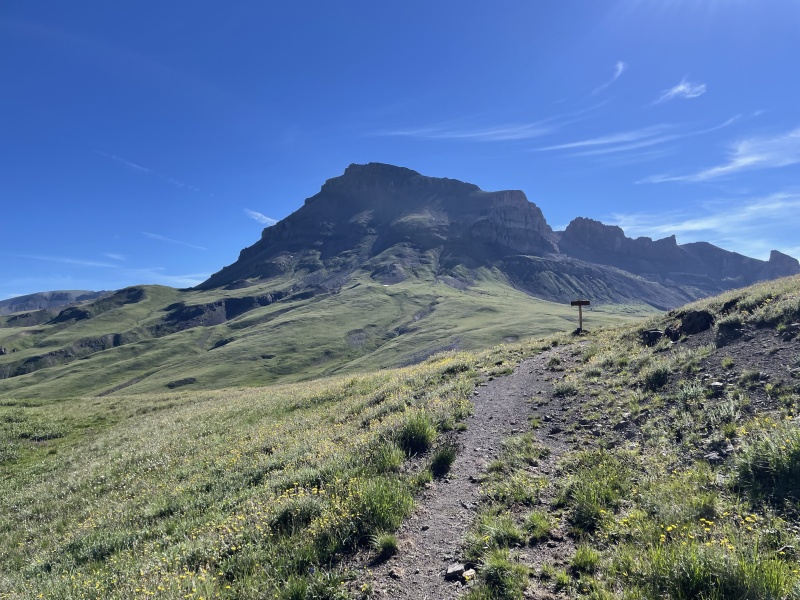
Wetterhorn in all its glory
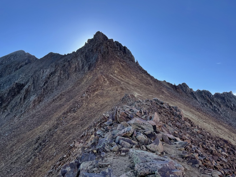
I trekked up to the red dirt section as alpine glow blanketed the basin. The scramble to the summit then passed in a steady, enjoyable rhythm. Just below the summit, I met two folks headed down who timed it perfectly and got to enjoy the full sunrise right as they topped out. While I personally wouldn’t rank it as my favorite, I can see why Wetterhorn is a crowd pleaser – iconic rock formation, stunning 360-degree views, and interesting, but not overly difficult climbing.
My original plan had been to go back to the car and over to Nellie Creek for Uncompahgre, assuming weather was holding. However, I spoke with a group on the Wetterhorn summit who encouraged me to not waste the time and instead link the peaks up directly by dropping down and over to climber’s left, and eventually regaining the Ridge Stock trail, which then links up with the standard route on Uncompahgre. I had seen this as an option the day prior and downloaded the route for it, so I decided to go for it. If you can get your car to the top of Nellie Creek it’s likely easier to do them separately, but, realistically, it was probably about a wash for me, and I didn’t have to spend time driving. From a macro scale, it’s pretty obvious where you need to go, but, on the micro level, the “trail” becomes more of a foot-wide, overgrown dirt line, petering out completely in a few places.
Trekking over to Uncompahgre from Wetterhorn
I saw a lot of dark clouds hovering over Wetterhorn while hiking back to the car after grabbing Uncompahgre. When I got back to the trailhead, I noticed a medical helicopter flying around (more on this later). I hoped everybody was alright as I headed back into town.
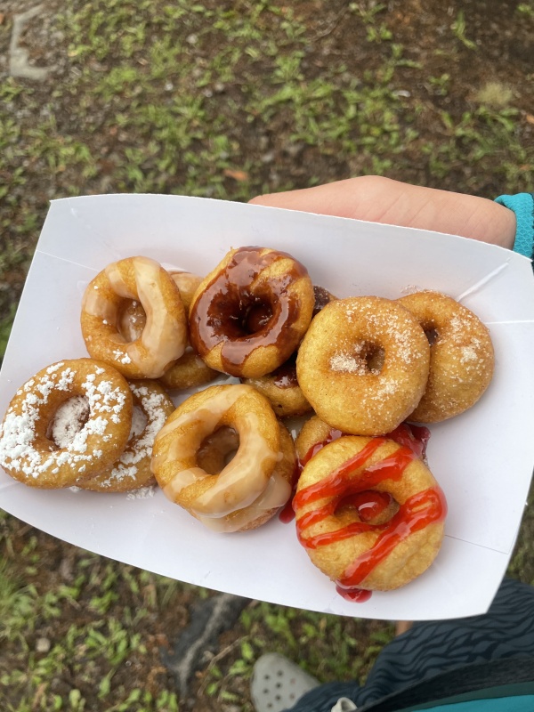
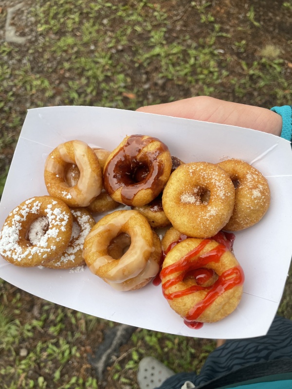
Ending a long day with warm mini donuts in Lake City
Day 6: July 18th, 2022 - Handies Peak (8 miles, 3.6k vert)
Coming off a long day, I decided to go and quickly hike up Handies from Grizzly Gulch, treating it as a bit of active recovery. I was also eager to finish off the Lake City group, having done Redcloud and Sunshine at last year’s Fall Gathering.
The most interesting part of the day was on the summit, where, I overheard a group talking about Wetterhorn. I chimed in that I had climbed it yesterday, and, it turns out that the people discussing it were SAR members that carried out the rescue on it yesterday, during which I had seen the chopper. Lightning had injured and stranded a climber (perhaps multiple?) who was subsequently flown off the peak. I found the juxtaposition fascinating - yesterday the SAR members were carrying out a technical rescue on Wetterhorn, today they’re up enjoying Handies just like everyone else. Thankful for all they do.
Day 7: July 19th, 2022 - Rest Day
Though I considered heading straight to Sneffles the night prior and climbing it the next morning, I instead decided to take it easy. I spent the morning exploring Black Canyon of the Gunnison NP. There’s a great spot to car camp along the road that leads to the South Rim Entrance station (turn left onto an open dirt area about 1.7 miles before the entrance, just before two cattle guards). As a tourist, the park was just ok in my opinion, but the rock climbing looked stunning – maybe one day.
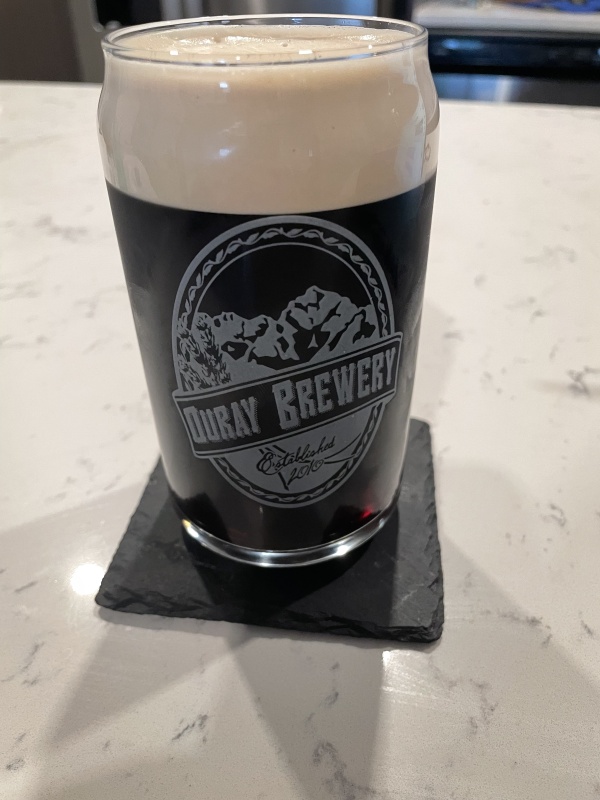
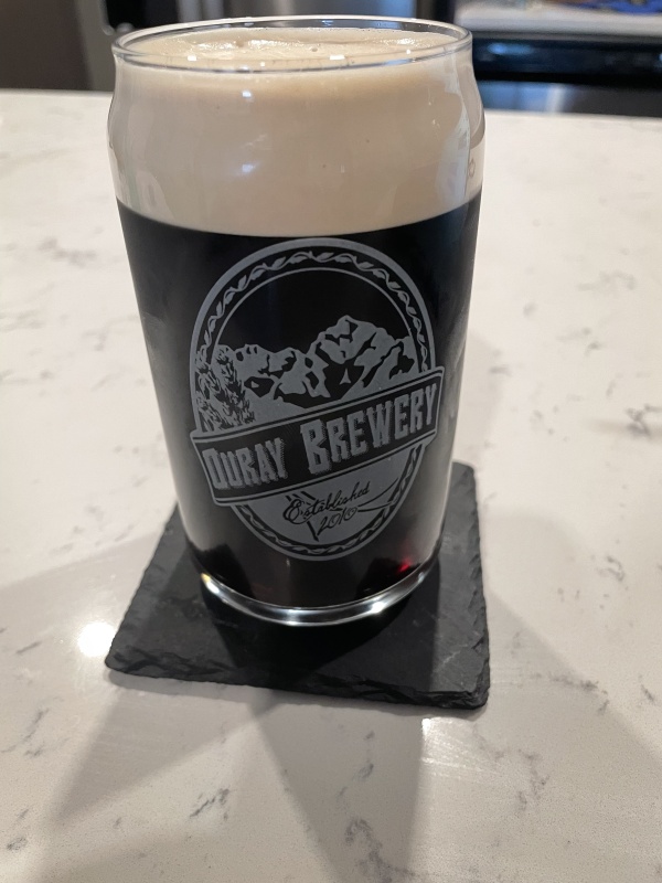
After refueling with great coffee and a giant cinnamon bun at Looney Bean in Montrose, I headed off to Ouray. I can’t say enough nice things about the locals in Ouray. I anticipated that they would be a bit closed off, understandably irritated by the flood of summer tourists, but experienced the complete opposite. I hit it off with a group of older locals at Ouray Brewery. They were as welcoming as could be, bought me my beer, and wished me good luck on Sneffles the next day.
Souvenir from Ouray Brewery. Good fuel for writing trip reports.
Day 8: July 20th, 2022 - Mount Sneffles (7.75 miles, 3.4k vert)
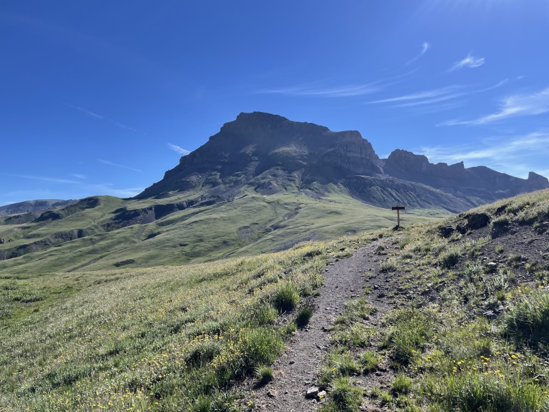
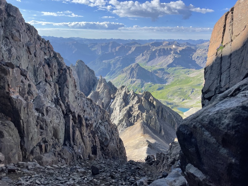
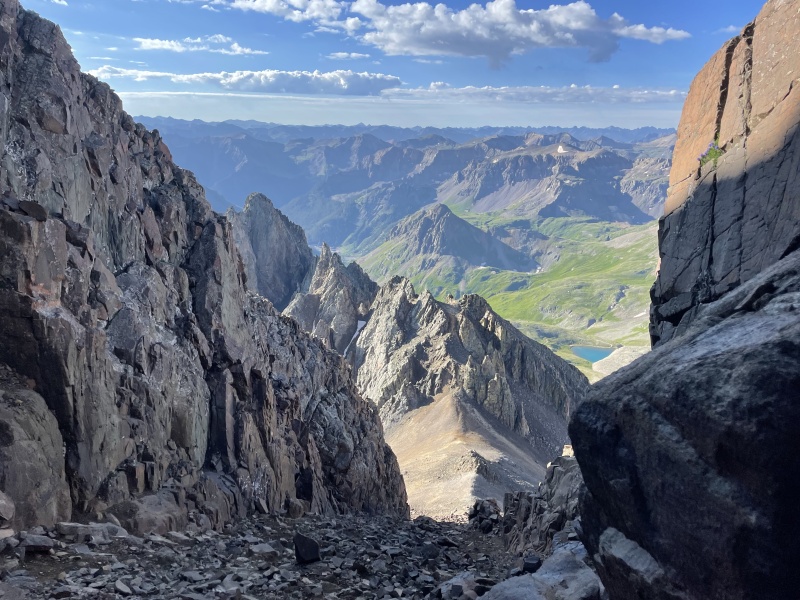
I arrived at the Sneffles trailhead late the night before and didn’t want to drive up to the outhouse area in the dark, so I decided to car camp at the 2WD spot. In the morning, I chose to abide by the 3k vert rule for my own sense of accomplishment only, and set out on foot from the turnoff for Governor Basin. I’m glad I started early and avoided, on the way up, all the ATVs and OHVs that were my soundtrack for the entire descent. The climb itself was a mixed bag – Lav Col was unpleasant but the V-notch move was a nice treat. Beautiful scenery was the star of the day, however, and was a nice distraction from loose scree.
Stunning views from Sneffles. Hard to beat the San Juans.
Next time I’ll take the SW Ridge route which looked like a ton of fun – I didn’t realize it was such a common alternative afterwards.
On the summit, I met two folks, one of whom was leading the other up her first 14er. As I checked off number 44, it was really cool to be reminded of the joy that comes from the first one. Plus, Sneffles is a sweet one to kick off a 14er journey.
Unsure of what the next leg of my trip would be, I headed into Ridgeway for breakfast. While there, I asked myself where one goes to do research? Soon, I found myself at the Ridgeway Public Library, planning and recharging. I had a Maroon Bells permit for the weekend, but wasn’t sure if I should rest or try to fit in some additional peaks while being in San Juan land. The temptation of being only an hour from Rock of Ages won out, and, after finding a random hotel swimming pool to jump into, I set out for the Wilson group.
Day 9: July 21st, 2022 - Wilson Peak (10 miles, 3.9k vert)
Covered in mosquito bites and fueled by an unbelievable quantity of peanut M&Ms and gummy worms, I chugged along up Rock of Ages, reaching the Wilson Peak saddle around 8am. I found the route finding along the first stretch after that to be doable, but still a bit tricky. I was soon passed by another climber that I was able to follow and was on the false summit a short while later. From there, locating the “gash” was straightforward for me and the rock to the right was really solid.
Looking towards Wilson Peak as the summit blocks the sun
On the summit, I started chatting with two fellow climbers, Nate and Erin, who were planning to do the El Diente – Mt Wilson traverse the following day. My goal was to do the traverse but only if I could find others to join. Since they planned to climb the North Buttress on El Diente and I was doing the standard route from Kilpacker, we made loose plans to aim to summit El Diente between 7-8 the next morning. I crossed my fingers and hoped our timing would align.
Coming back down Rock of Ages on the area just past the saddle, I let my mind wander. I somehow lost the trail (which, in my defense, was easy to do) ending up in a slanted sea of extremely loose talus. Luckily, I was able to carefully move into a gully with more solid rock, which eventually led back to the trail at the base.
Once back on the road, I stopped in Telluride while driving down to Kilpacker, bringing all the foul stench of over a week on the road into the nice shops and restaurants.
Beautiful camping at Kilpacker, serenaded by a chorus of sheep
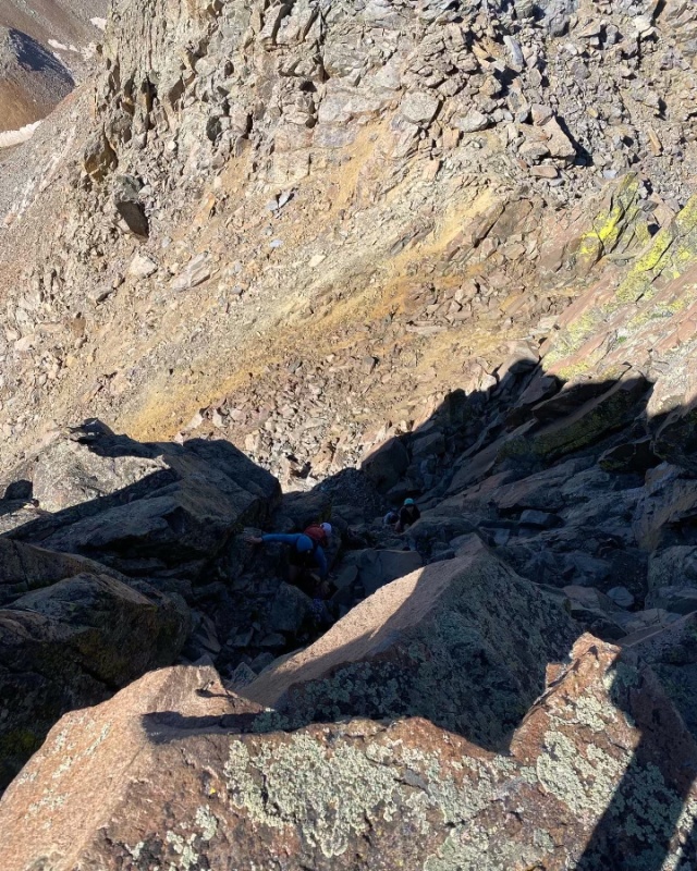
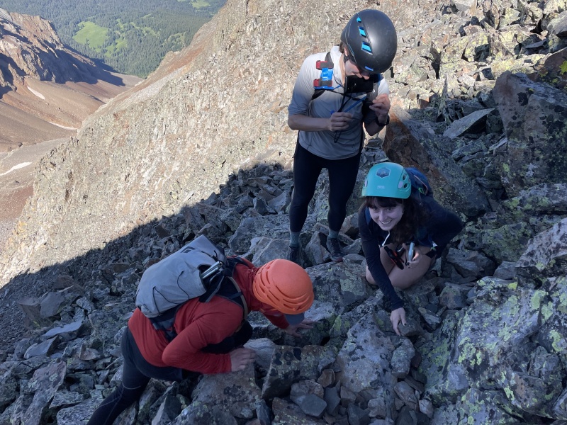
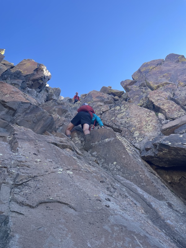
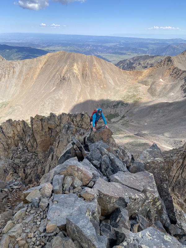
Day 10: July 22nd, 2022 - El Diente & Mount Wilson Traverse (13.6 miles, 4.8k vert)
The night prior, I debated for a while what time to set my alarm for trying to balance a number of factors including my fatigue, weather forecast, and timing the El Diente summit. I eventually settled on 3:15. When 3:15 rolled around, for the first time all trip I woke up feeling like absolute crap. Unable to get my limbs to move, I slept another 45 minutes, before finally dragging myself onto the trail around 4:15.
The easy, flat, approach helped get the muscles firing a bit more effectively, but I was still feeling weaker than usual as I got to Kilpacker Creek. Convinced I had missed my chance to meet up with Nate and Erin, I told myself to forget about it and just focus on getting up El Diente, that given how I was feeling, that would be a successful day.
Right around where the El Diente South Slopes route forks off from the Kilpacker approach, my body seemed to snap back into form. I made quick work of the remaining climb up the mountain, starting the final summit pitch around 8:10. At that moment, out of sight from around the corner, I heard a few voices call out “Is that Ben?!” Nate, Erin, and a third climber, Laura, that had joined them were all making their way off the summit, getting ready to start the traverse. Excited, and with my morning sluggishness a distant memory, I quickly tagged the El Diente summit and scrambled back down to the group, catching up just after the Organ Pipes.
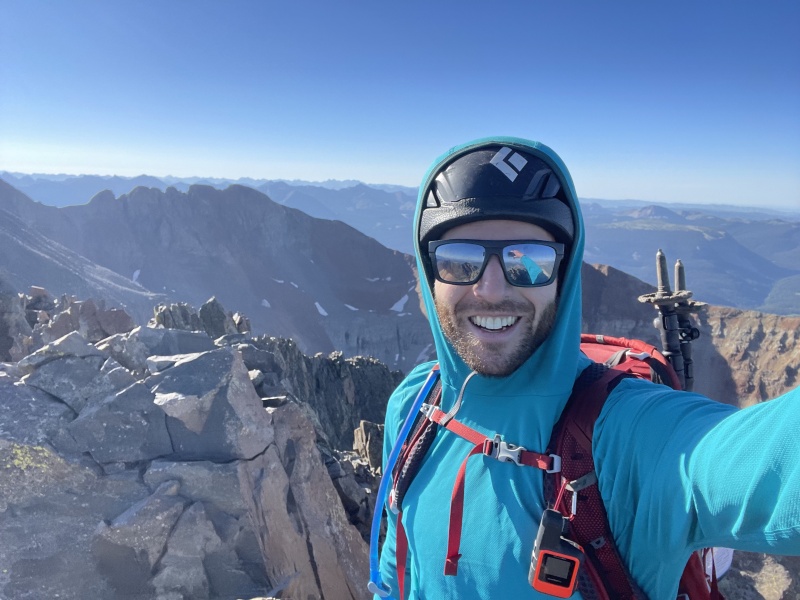
Quick summit selfie on El Diente before hustling to catch up with the group
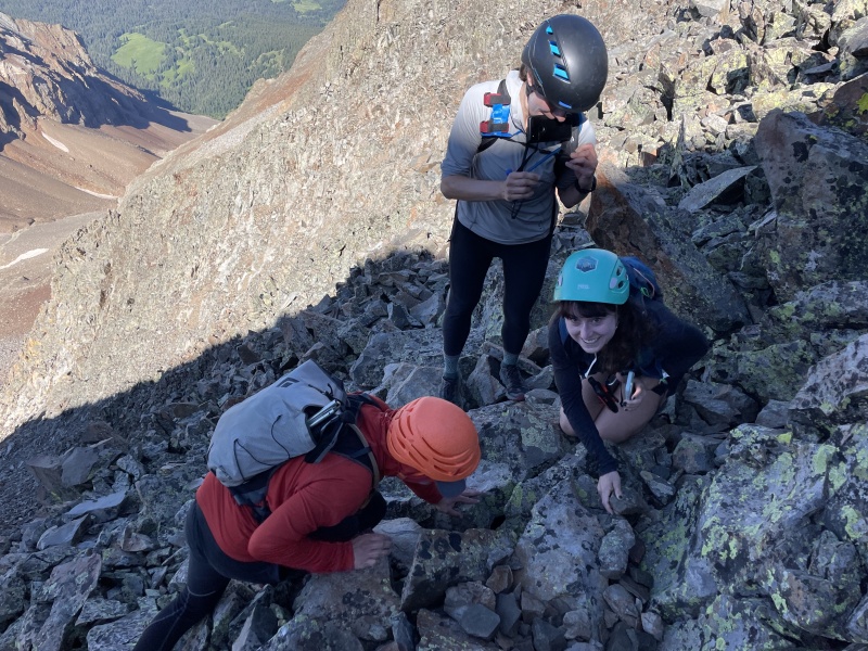
Nate showed excellent route-finding skills while leading the group and the climbing continued without a hitch, well, apart from a lost (& found) credit card mid-traverse!
Performing a SAR mission on a dropped credit card
We finished up, enjoyed some summit photos and snacks, and started down. We said a few goodbyes as Laura and I split off from Nate and Erin who were headed back to Navajo Lake. Within five minutes, dark clouds and hail covered the mountain, making the already difficult descent off Mount Wilson even more challenging. We fought through it successfully and I was back sipping coffee in Telluride a few hours later.
The lows and highs of this day are so powerful. After waking up feeling at my worst, it turned into one of my favorite days on a 14er. Just got to keep putting one foot in front of the other.
Traversing on the ridge crest!Climbing a steep section mid-traverse!
Day 11: July 23rd 2022 - Wrapping Up
After completing the traverse, I drove back to Montrose the previous night. My plan had been to rest the next day, Saturday, while making my way to Aspen and targeting Pyramid Peak on Sunday. However, with absolutely terrible weather expected all day Sunday, I decided to just head home Saturday, and I began the drive back to the Front Range.
I reflected on my journey as I-70 whizzed by the window. 11 14ers in a week and a half, 11 more to go…
***Special thanks and shout-out to AlpineFroggy who went above and beyond to sanity check my plans and think though logistics with me along the way!***
Thumbnails for uploaded photos (click to open slideshow):
I guess that's how I roll too, lol. Subie-camping and dinner with a view, bag a peak or two (never done 3 in a day but whatever), hang out in the townies' bar/diner, relocate to another range, repeat. I'm definitely hoping to also add some hot spring soak to that routine next month when I come up from the flatlands. Might as well....
I finished on Wilson Peak Saturday the 23rd and ran into Dan and crew on the summit. They talked about the weather on Mt. Wilson you described. Sounded pretty awful. Glad it didn't compromise your safety.
Now this looks like the right way to spend a few weeks. I'll look to go for something like this next summer & will definitely utilize your TR to put things together. Thanks and good luck on the final 11!
Caution: The information contained in this report may not be accurate and should not be the only resource used in preparation for your climb. Failure to have the necessary experience, physical conditioning, supplies or equipment can result in injury or death. 14ers.com and the author(s) of this report provide no warranties, either express or implied, that the information provided is accurate or reliable. By using the information provided, you agree to indemnify and hold harmless 14ers.com and the report author(s) with respect to any claims and demands against them, including any attorney fees and expenses. Please read the 14ers.com Safety and Disclaimer pages for more information.
Copyright: Route information, text, risk factors, maps, GPX files, charts, photos, 14ers.com-created map imagery, flythroughs, and other content provided in this route description are copyrighted by 14ers.com and may not be copied, reproduced, republished, distributed, modified, or used to create derivative works without prior written permission.
Please respect private property: 14ers.com supports the rights of private landowners to determine how and by whom their land will be used. In Colorado, it is your responsibility to determine if land is private and to obtain the appropriate permission before entering the property.