| Report Type | Full |
| Peak(s) |
Huron Peak - 14,006 feet Unnamed 13556 - 13,556 feet Unnamed 13486 - 13,486 feet Geissler Mountain East - 13,381 feet Geissler Mountain West - 13,308 feet |
| Date Posted | 07/13/2022 |
| Date Climbed | 07/06/2022 |
| Author | mennoguy |
| Additional Members | tdawg012 |
| Unintended Orphans |
|---|
|
Unintended Orphans 13556 Geissler East 13380 Geissler West 13301 July 6, 2022 ~6.5 miles 3000 feet I met up with Tyler at the La Plata Peak TH on Tuesday after he climbed Ellingwood Ridge. I had attempted some 12ers in the Hunter Fryingpan Wilderness. I failed at summiting anything because there was a cornice where I wanted to ascend and the trail marked on the map that goes around the south ridge of the peak doesn’t really exist. It’s more of an off and on again game trail through open forest, tundra, and marshes that ends in a shoe stealing bog. I might have tried to fight through the bog but there were suspicious looking clouds at 8:45. I had over three miles of exposed hiking to get back to substantial tree cover. So somewhat dejected I headed back. By the time I was descending the many switchbacks of the Midway trail it was spritzing on me at 9:30. As I was loading my car at 10:20 I heard the first rumbles of thunder. 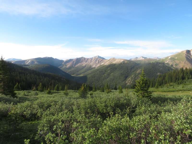
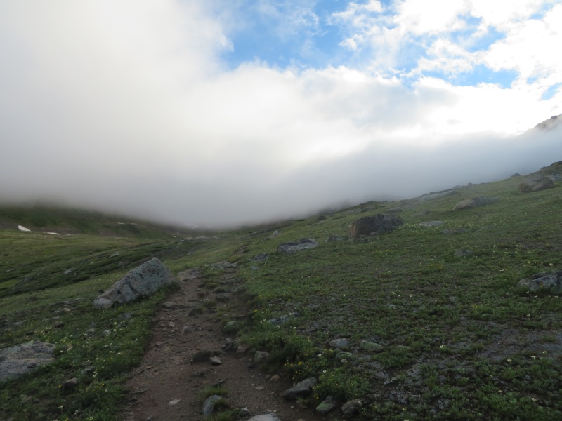
Tyler had his own adventure on Ellingwood, getting dumped on during his descent. I was glad I was waiting in my car. With the knowledge that there was a disturbance and the very real possibility of early storms we decided to play it one peak at a time on Wednesday. We started up the Lost Man trail at 6:30 under a canopy of low level clouds that obscured all the peaks. 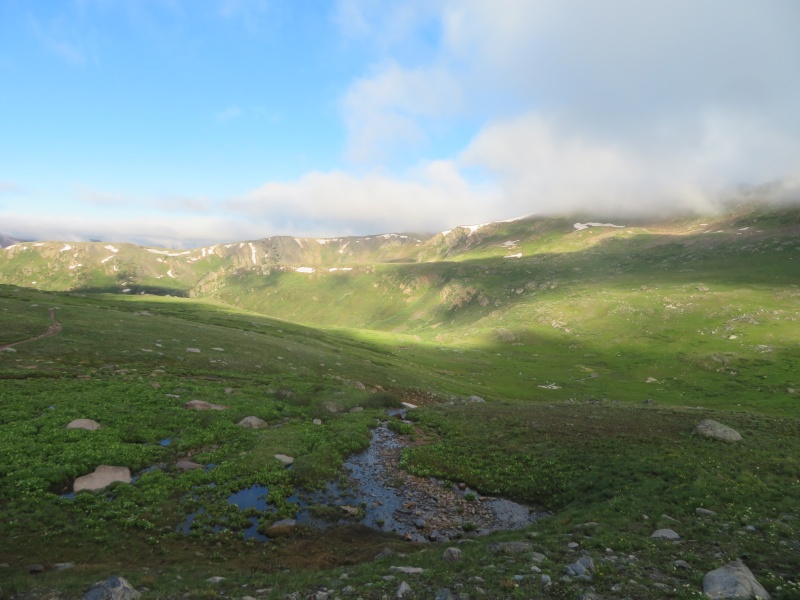
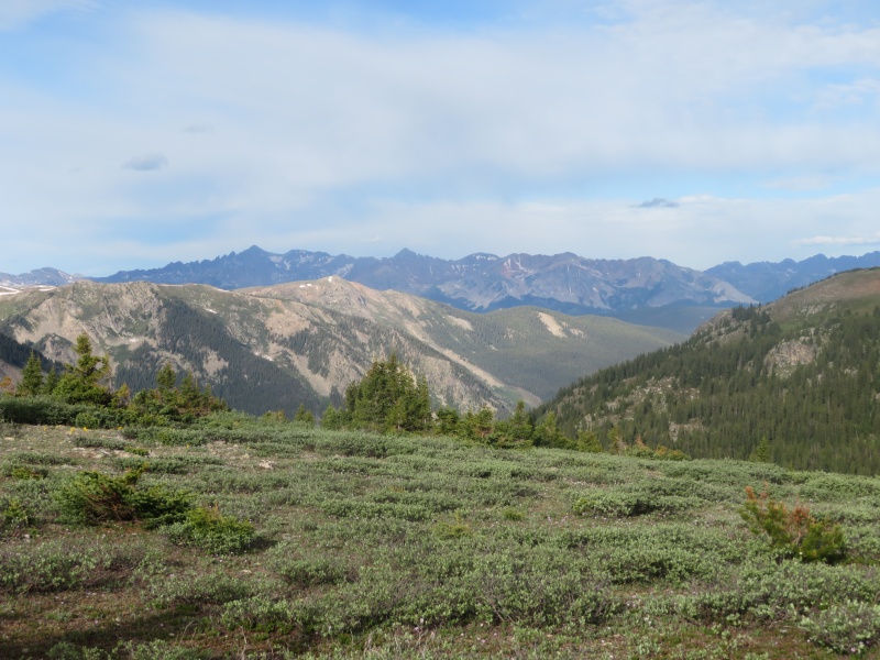
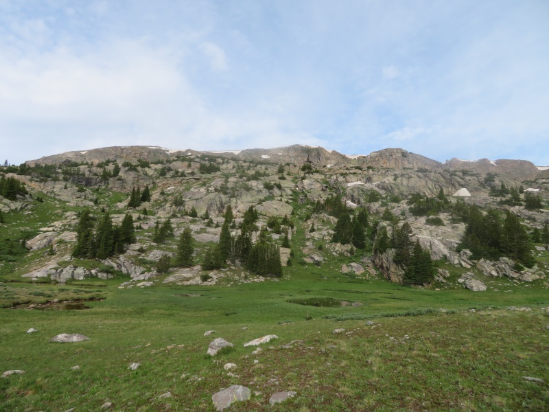
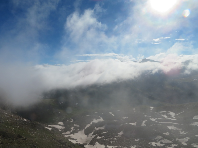
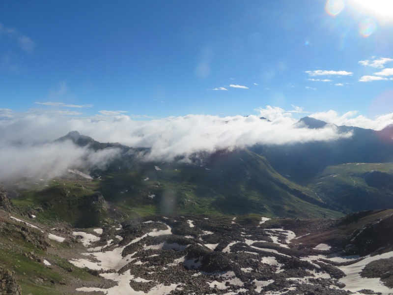
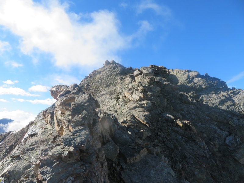
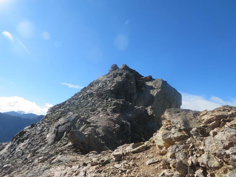
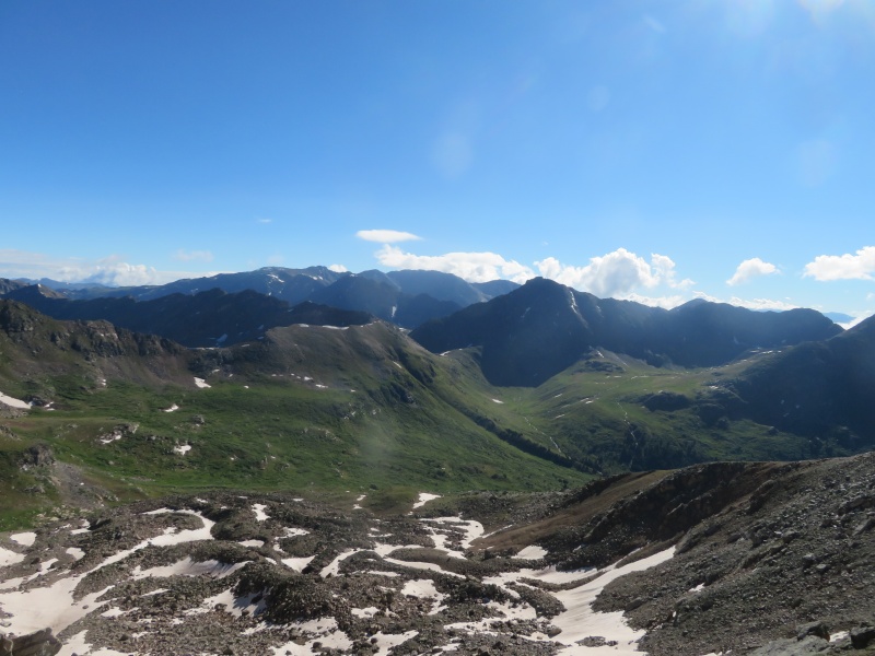
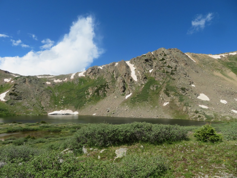
There are three route choices on 13556, if climbing only 13556 the easiest route is probably the east ridge. The south ridge didn’t really appeal to me because of the talus/scree ascent to the ridge. So that left the north ridge, which turned out to be a good choice. The clouds were still heavy when we arrived at Lost Man pass, we ascended the grassy slopes east of the pass eventually meeting a pretty well defined game trail. This took us to a bench below 13366. We crossed a lingering snowfield and talus to the saddle. Within a matter of minutes the clouds lifted, making for an enchanted experience. We watched the remaining clouds dance and disappear before tackling the ridge. 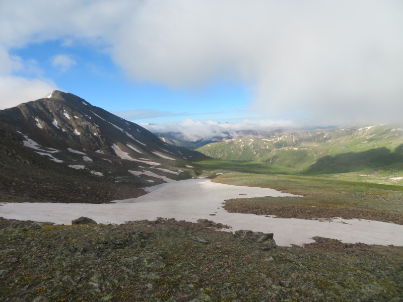
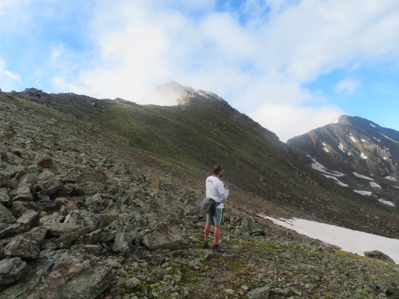
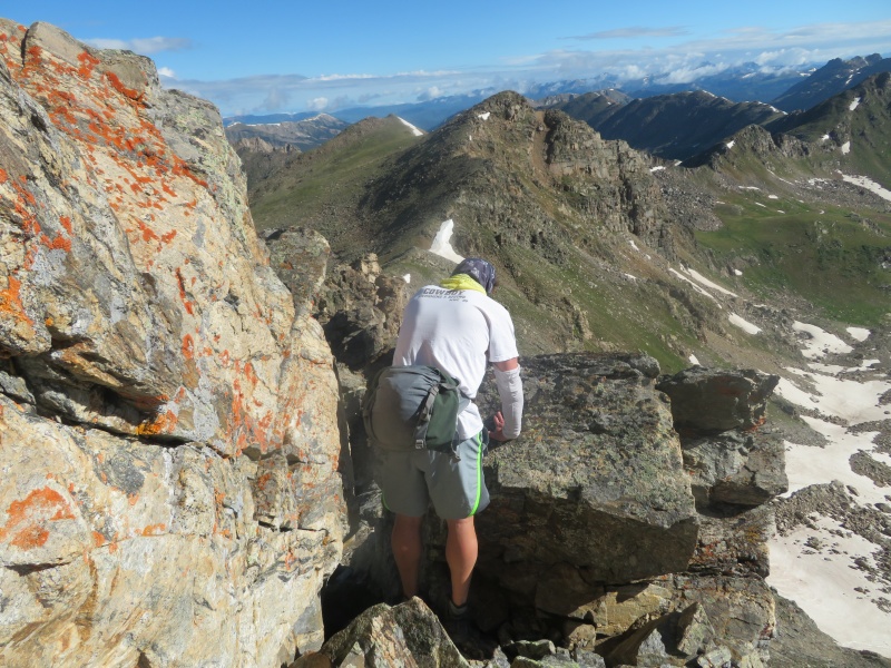
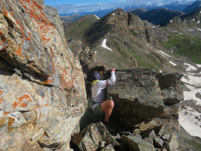
Other reports did not give this ridge rave reviews. I am no fan of loose rock and these reports gave me a bit of pause. Once on the ridge I didn’t find it too bad. Sure there are rubble covered ledges and slabs which could use a roomba. Although I’m not sure roombas are allowed in wilderness areas. Maybe it would be more appropriate to call the wilderness maid service to sweep off these ledges. 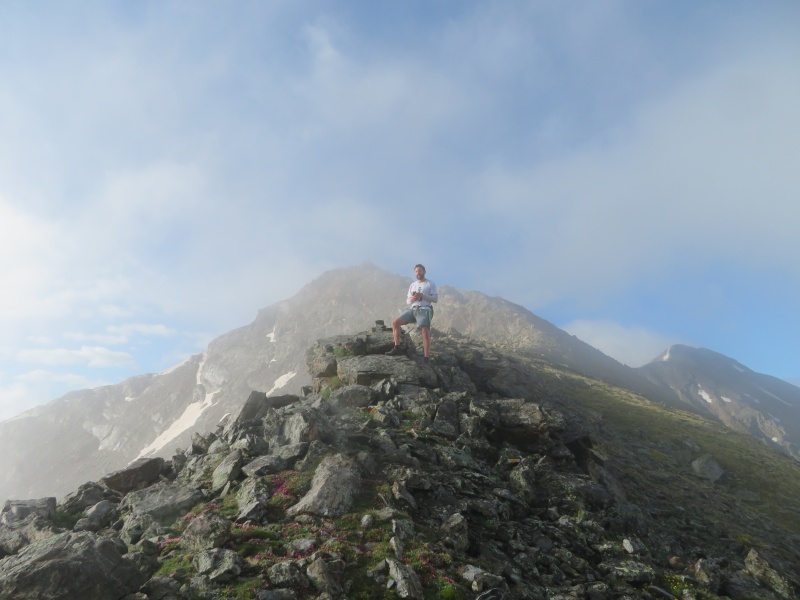
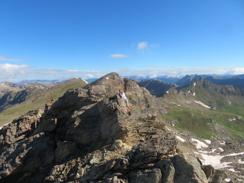
I’m not one to hold your hand every step of the way on these peaks. If you are committed to climbing these peaks you should have good route finding skills. However, I will give general tips. The ridge is only .15 miles long, for the most part we were able to get around all the obstacles on the left/east side. The west side might go but it didn’t look as appealing. We agreed that most of the ridge was Class 2+ with some Class 3 mixed in. On the summit we decided the weather was holding enough to get some repeats of the Geisslers. Descending the ridge went much quicker because we knew the way. 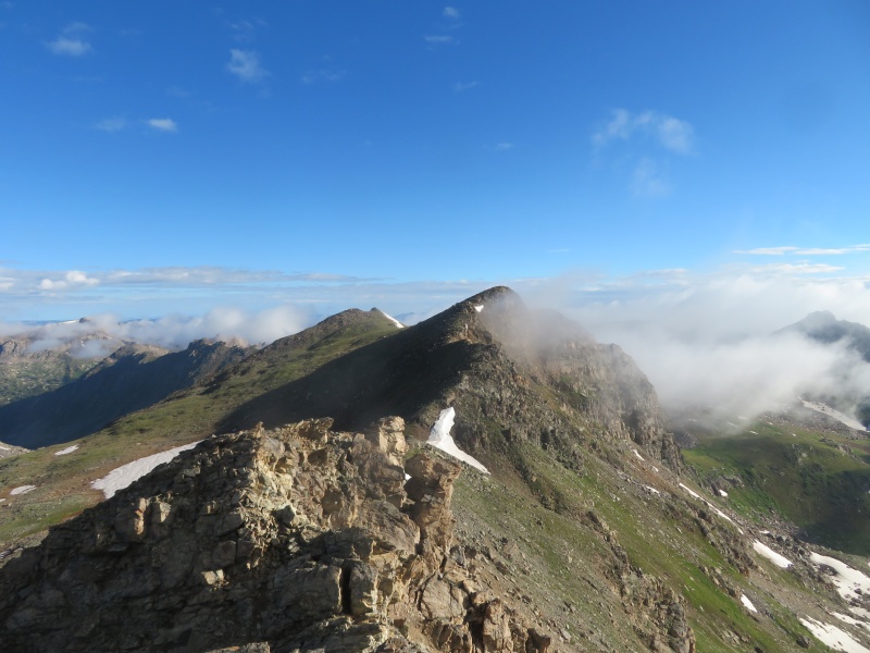
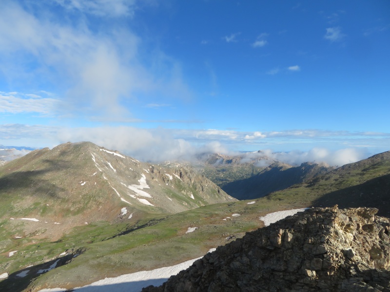
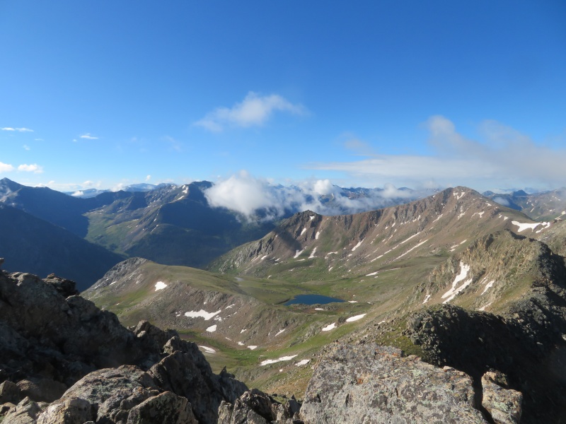
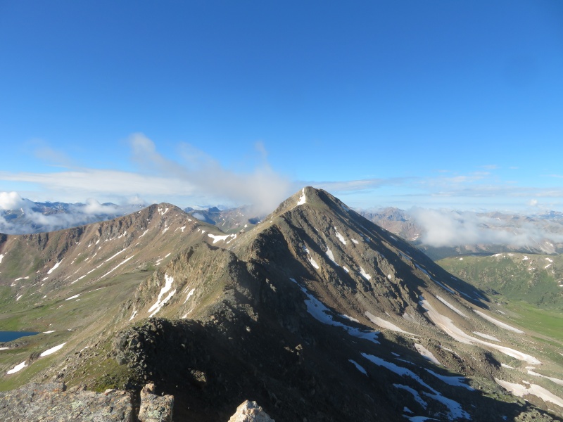
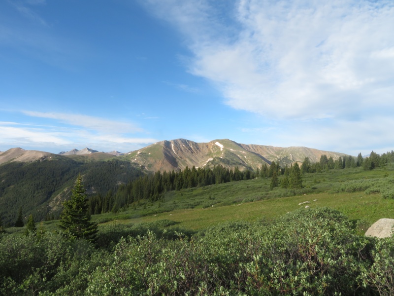
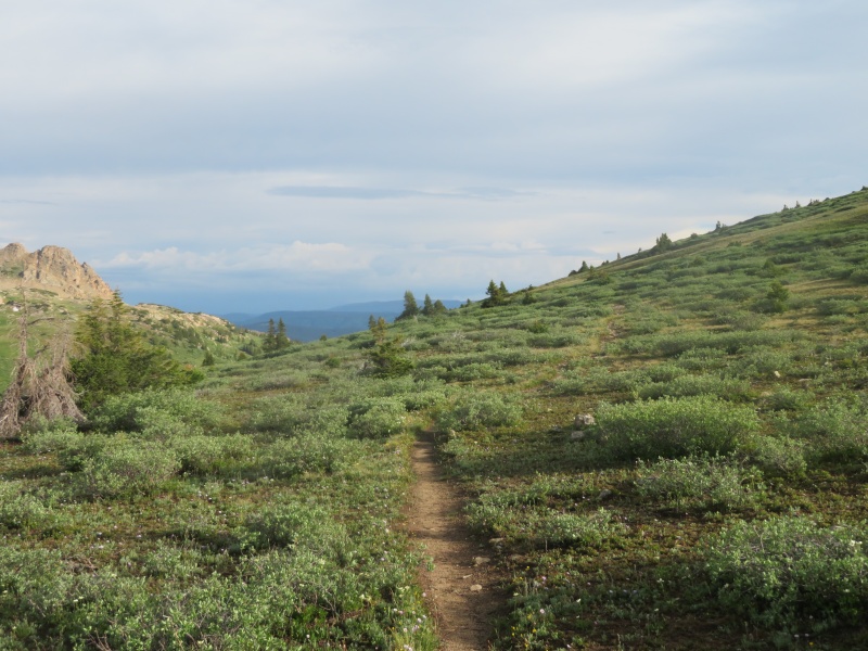
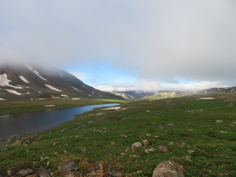
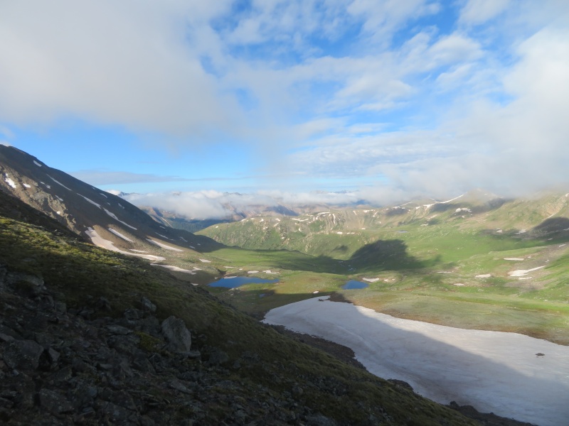
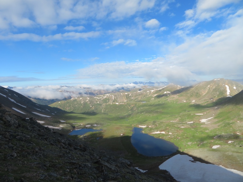
The Geisslers were much rockier than I remembered, but they still went pretty quickly. The clouds were building rapidly over the valley to the north of the Geisslers. After West Geissler Tyler decided to follow the ridge around to a trail that went to Linkin’s Lake, I descended below 13186 to a bench before reaching Linkin’s Lake. Both routes work and are not difficult. While we worked our way down the threatening clouds over Lost Man lake moved on, but the storms over La Plata were rumbling, it was 10:40. 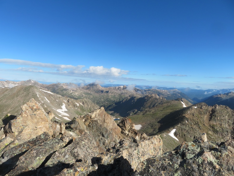
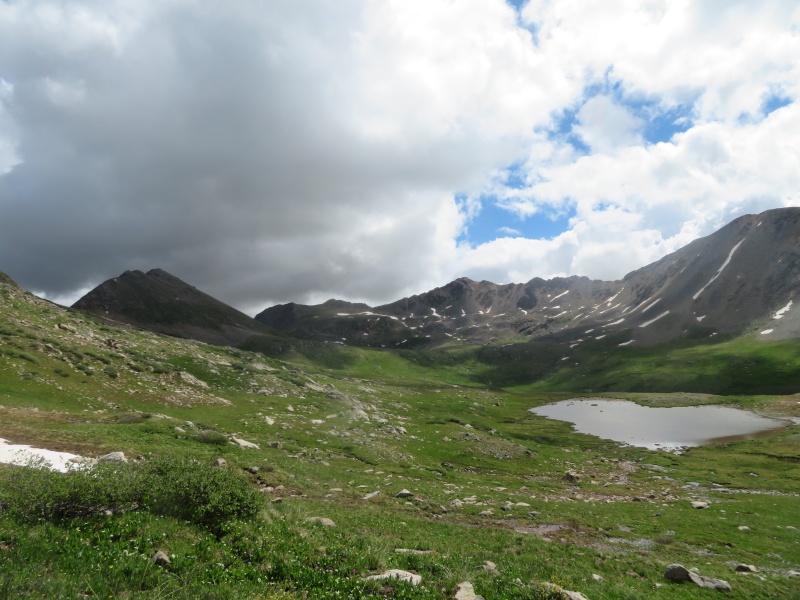
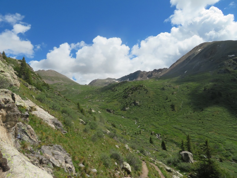
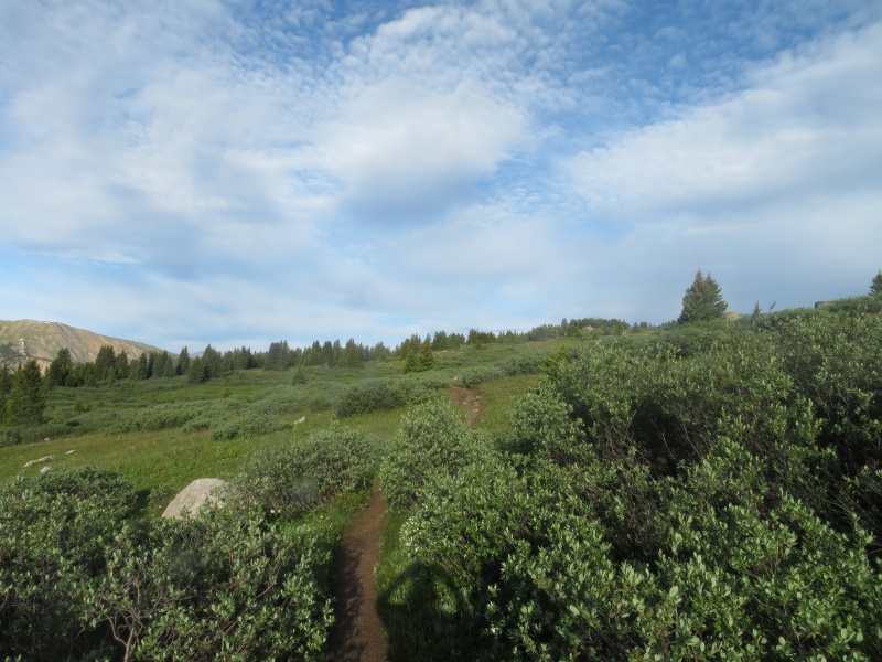
We stopped by our campsite to take a nap and dip in the stream before heading over to Winfield. 13486 Huron Peak ~13.1 miles 4300 feet I had hoped to post the first trip report of this peak to this site but a certain transition word beat me to it, at least we took different routes. From our nice campsite near Winfield we made quick work up the road and trail to the Apostle Lake Ann trail split. The next trail split occurs quickly and Tyler and I debated whether this was actually the trail. We weren’t positive so we continued on the Apostle trail until we realized that was the trail we wanted. 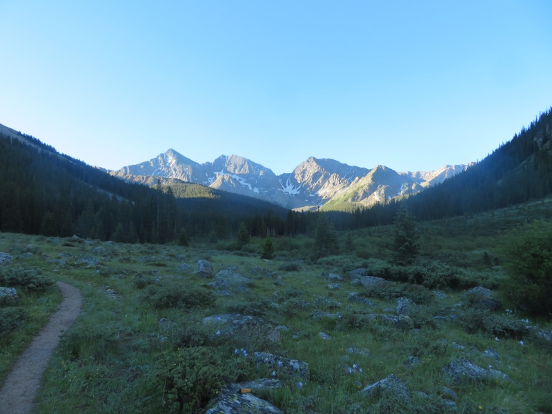
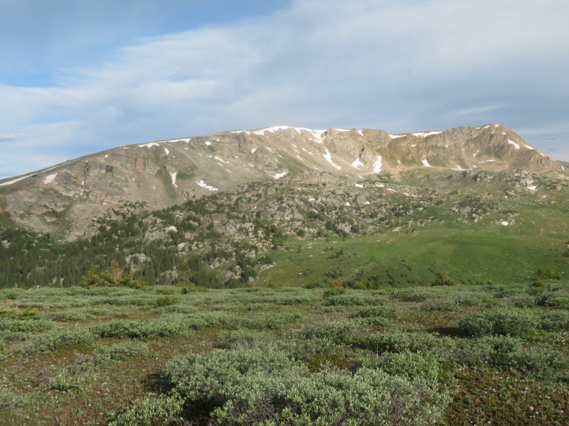
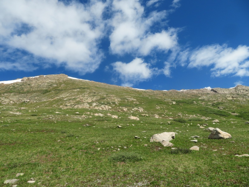
Bill says this trail has a lot of deadfall on his SW slopes of Huron page, we didn’t think it was too bad, it didn’t slow us down that much. Soon enough we were out of the trees into the first talus field. We attempted to follow the cairns but that was a futile effort. The forest beyond wasn’t horrible. After that Tyler and I took our own routes to the small 12500 bench. I don’t think either of us followed the exact route described on this site. Sometimes Tyler was above me and other times he was below me, it wasn’t too hard to see where we were going. After the tedious traverse of the talus slopes and ascent of grass we arrived at the 12500 bench looking up at the final ascent to the saddle. I stayed to the left of the scree, Tyler to the right. It sucked, it was steep and loose, but I never felt like I was going to start a rockslide. The final ascent up the ridge was a welcome change from the valley. Initially the ridge is blocky and class 2, Tyler reached the false summit first and kept climbing, I said a few curse words knowing that it wasn’t the summit. The false summit has a couple 2+ moves. The remaining ridge is a labyrinth where staying on the ridge crest is not the most efficient way. At this point I noticed Tyler was not alone on the summit. I weaved my way around the 2+ summit ridge on ledges to the summit where I met the other person who turned out to be a legend of Colorado mountains who was refinishing the 13ers. 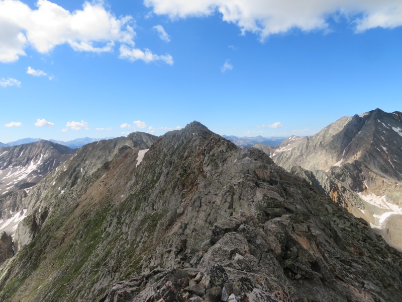
The clouds were building so we boogied down to the saddle, where there was zero discussion of our route. We knew it would be faster to summit Huron, so we put our heads down and climbed the 900 feet up Huron. The clouds were too dark for my liking so I descended the standard route of Huron, I had no desire to re-summit the other 13ers. Tyler continued on the ridge to re-summit those peaks. While on the road a quick shower hit which felt good. Strava links, because I wasn't able to load my gpx I’m glad both 13556 and 13486 are now ranked, they are worthy additions to the 13er list. Thumbnails for uploaded photos (click to open slideshow): ")
")
")
")
")
")
")
")
")
")
")
")
")
")
")
")
")
")
")
")
")
")
")
")
")
")
")
")
")
")
")
")
")
")
")
")
")
|
| Comments or Questions |
|---|
|
|
Caution: The information contained in this report may not be accurate and should not be the only resource used in preparation for your climb. Failure to have the necessary experience, physical conditioning, supplies or equipment can result in injury or death. 14ers.com and the author(s) of this report provide no warranties, either express or implied, that the information provided is accurate or reliable. By using the information provided, you agree to indemnify and hold harmless 14ers.com and the report author(s) with respect to any claims and demands against them, including any attorney fees and expenses. Please read the 14ers.com Safety and Disclaimer pages for more information.
Please respect private property: 14ers.com supports the rights of private landowners to determine how and by whom their land will be used. In Colorado, it is your responsibility to determine if land is private and to obtain the appropriate permission before entering the property.

