| Report Type | Full |
| Peak(s) |
"West Tellurium" - 13,078 feet "Tellurium Peak" - 13,311 feet "Tabor Peak" - 13,282 feet |
| Date Posted | 07/24/2022 |
| Date Climbed | 07/09/2022 |
| Author | eskermo |
| Taburium Group |
|---|
|
7/9/2022 I do not have much to add to CUaaron, bergsteigen or Furthermore's excellent TRs on this group, aside from an alternate descent off West Tellurium, and more pictures. The signed Tabor Creek TH lies a few miles up Lincoln Creek road and should be easily accessible to most vehicles with decent clearance. Ample parking exists for 6 or so vehicles. Steps from the TH kiosk I ran into water that demanded bare feet. Shortly thereafter Lincoln Creek was forded at about shin depth. The trail picks up immediately after the crossing and is pretty easy to follow. 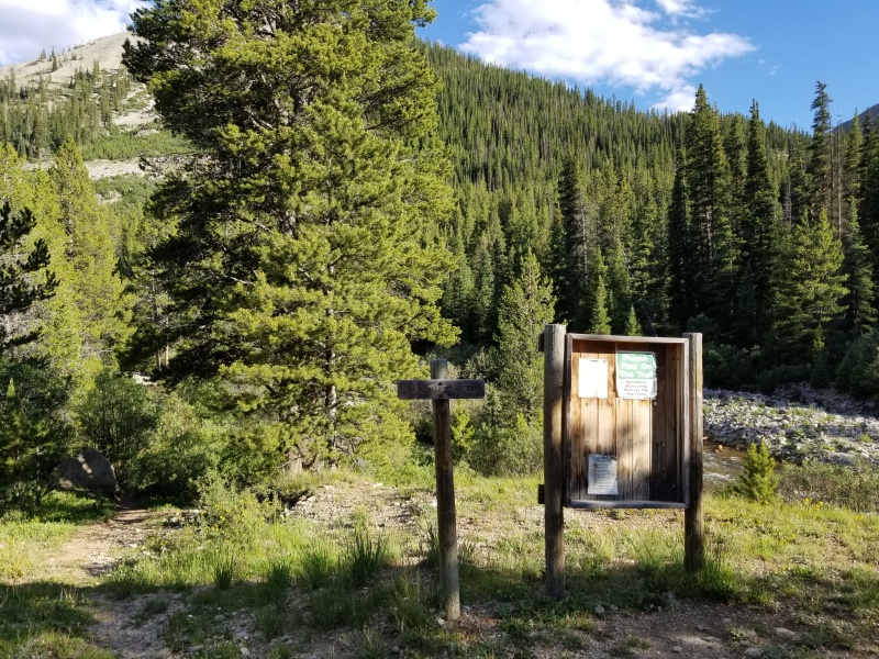
In less than a half mile the New York Collection Aqueduct is intersected. Apparently water used to be collected from Tabor Creek, Brooklyn Creek and New York Creek, and then funneled into this aqueduct which emptied into Grizzly Reservoir. From the reservoir, water flowed (or I supposed still flows, but from other sources) through the tunnel marked on USGS maps as "Twin Lakes Reservoir and Canal Co Tunnel No 1". That tunnel dumps water into the North Fork Lake Creek, which eventually helps supply Colorado Springs with fresh water. According to the City's website, ~80% of the city's water comes from the Western Slope. Mind boggling. If any of my research is off, please call me on it! And if you have any more info I'd be interested in hearing about this. 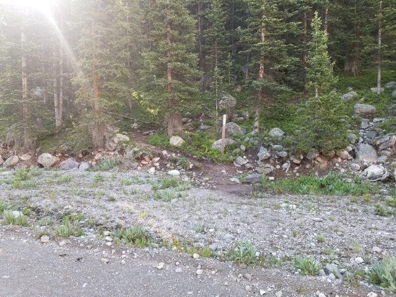
Anyway, back to hiking. Cross the aqueduct and continue on the excellent trail, which eventually opens up with some great views. 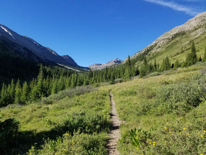
Current USGS and USFS maps do not show the trail that branches off from the 2185 Tabor Creek Trail, but open source overlays like the "Map Builder" layer in CalTopo do. At the contour line for 11,640' you will see the cairn in the picture below just off the Tabor Creek Trail. The trail is NOT defined here, but the way up is obvious. After climbing a couple hundred vertical, the trail becomes very obvious and easy to follow for the most part. 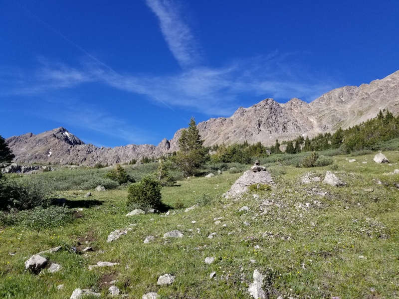
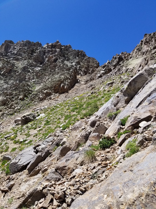
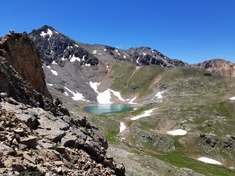
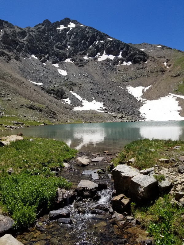
Around 12,300' you'll reach Tabor Lake. From here I took a short break and studied the line up to the ridge. The yellow-dirt gully on the right side of the picture is what you want. More solid rock lies on either side of the gully that can be utilized to make the going a little more secure. 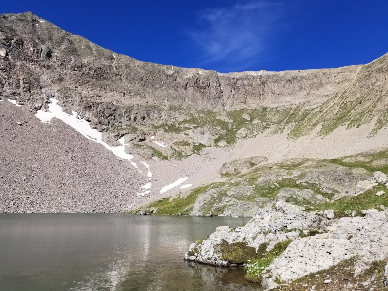
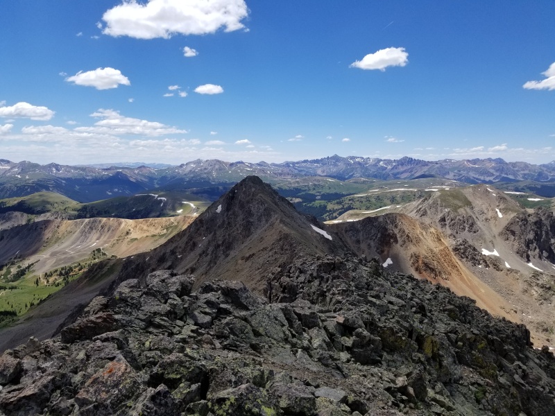
Once established on the North Ridge of Tabor, it was an enjoyable and mostly solid class 2 scramble to the summit. 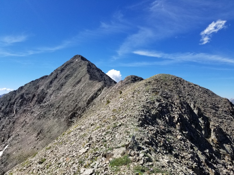
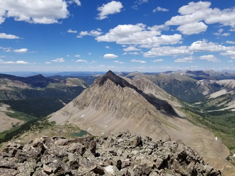
I briefly considered attempting the connecting ridge between Tabor and Tellurium as both bergsteigen and Furthermore had suggested they appear to offer decent scrambling. As I eyed the ridge from lower in the valley, there was one notch on the Tabor side of the saddle that looked gnarly. I figured I'd stick to the surefire bet as I was in more of a mood for checking peaks off my list, rather than exploring unknown and potentially dangerous ridgelines solo. If someone else does the connecting ridge, please report back! 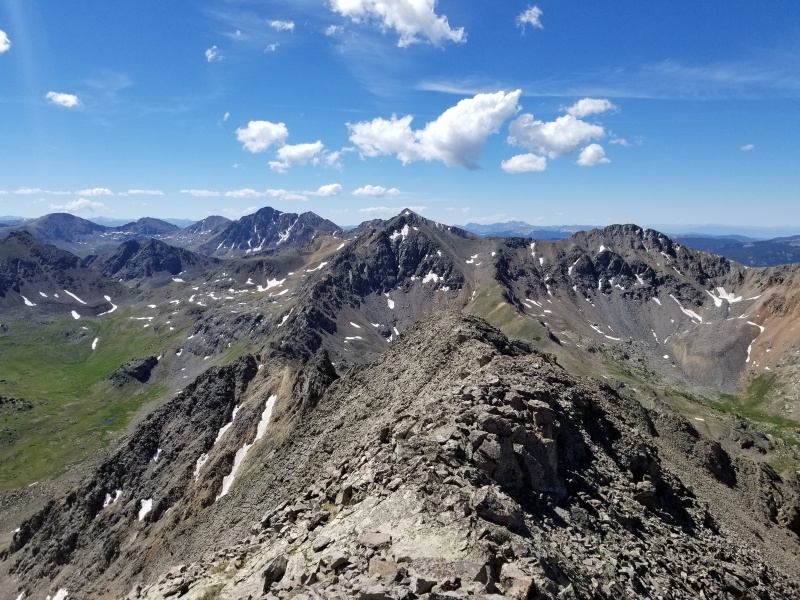
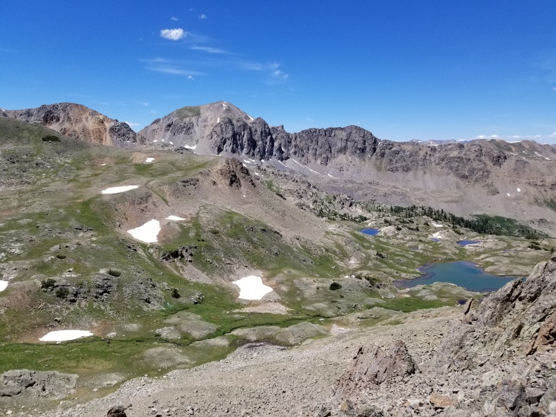
Reversing the route went quickly. Back at the lake, look for a low saddle south of the lake and hike to it. From the low saddle you should be able to see much of the high contour traverse to the Tabor-Tellurium saddle. 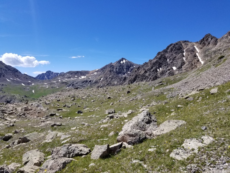
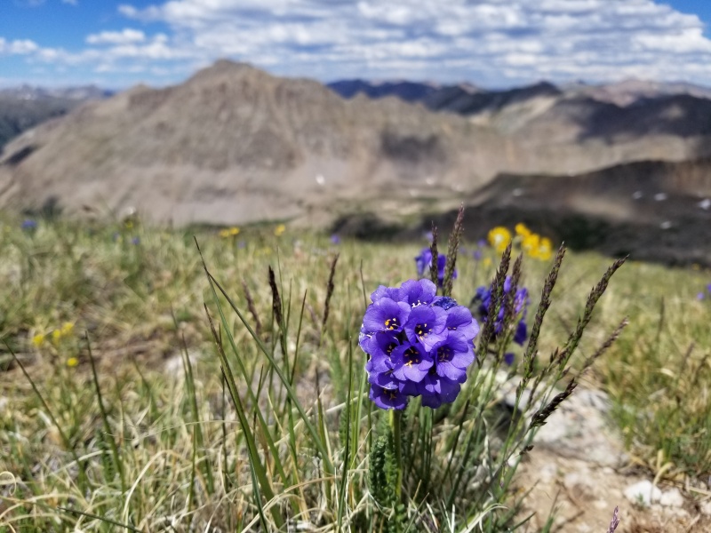
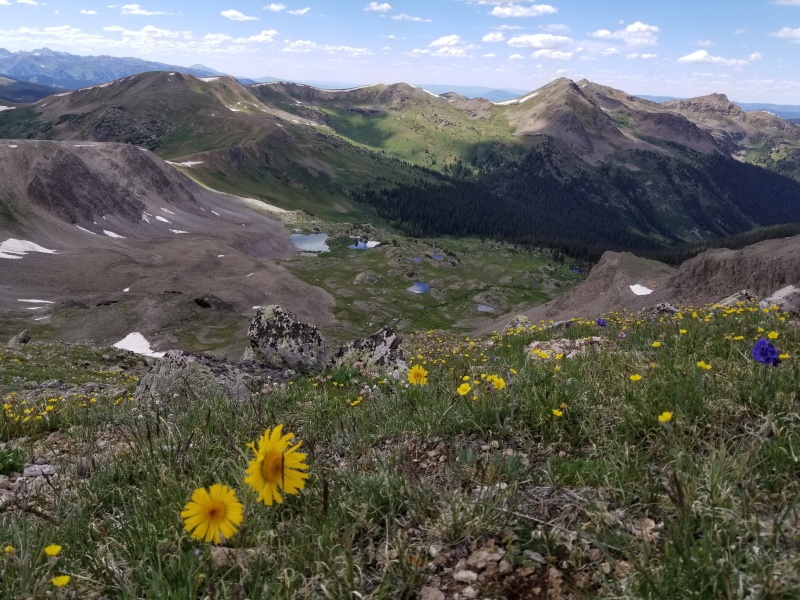
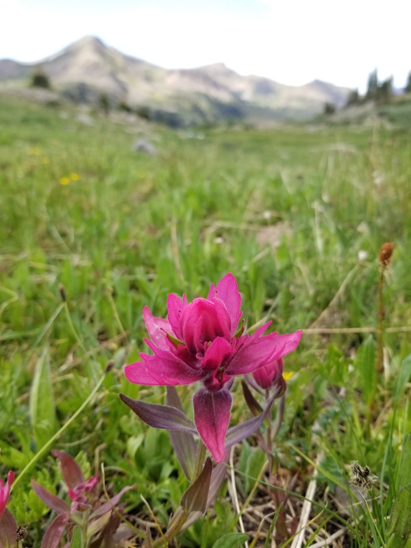
The flowers were something else during this portion of the day. That's about the only positive thing I can relay about this part of the hike. The last stretch getting up to the notch felt quite insecure and unpleasant. 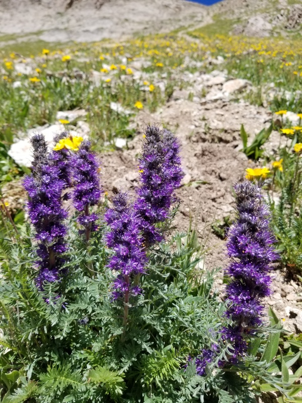
From the saddle, I took a short break to hydrate and watch an Elk and her tiny calf eating down by the creek. As I started down the crappy slope into upper Brooklyn Basin and kicked rocks around, the calf and mom spotted me and I heard the loudest cutest little squeal before the elk ran off. That made my day (aside from the perfect weather and three new peaks!). 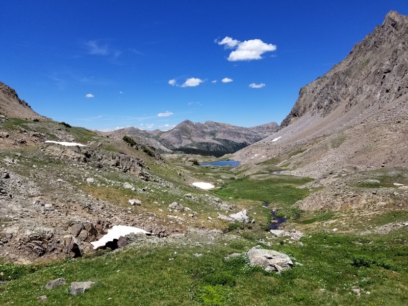

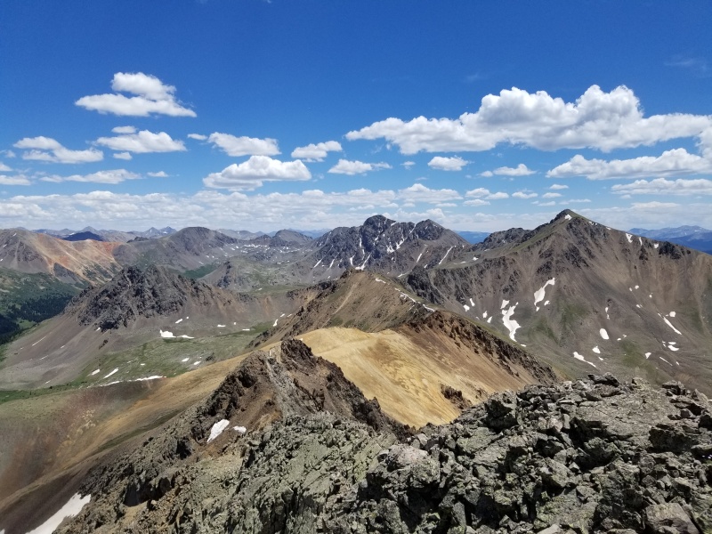
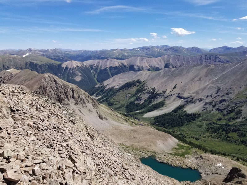
The ridge to West Tellurium went easily, even with a few rocky bumps to climb along the way. The view down to Ptarmigan Lake (with a paddleboarder on it!) below the ridge was spectacular. 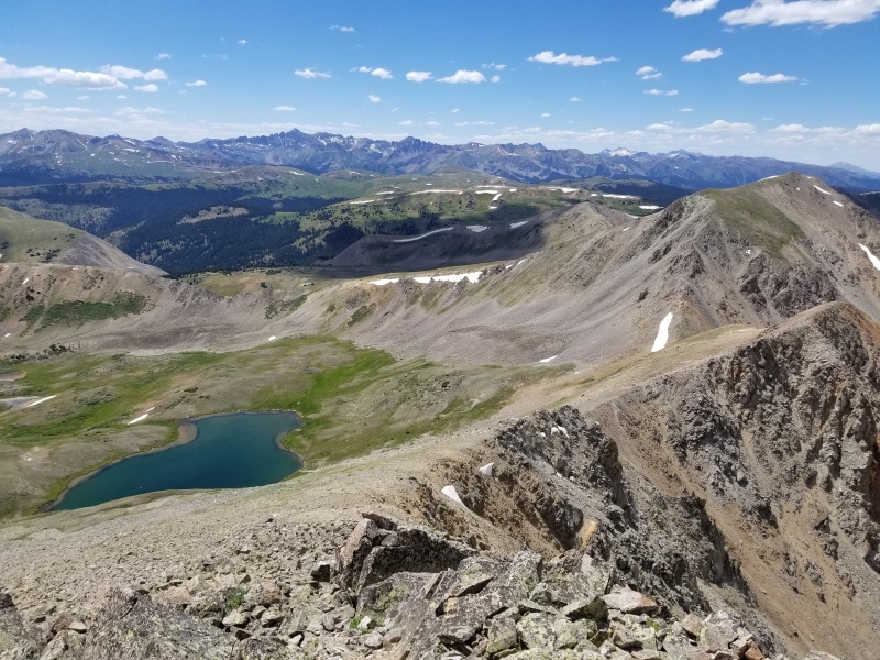
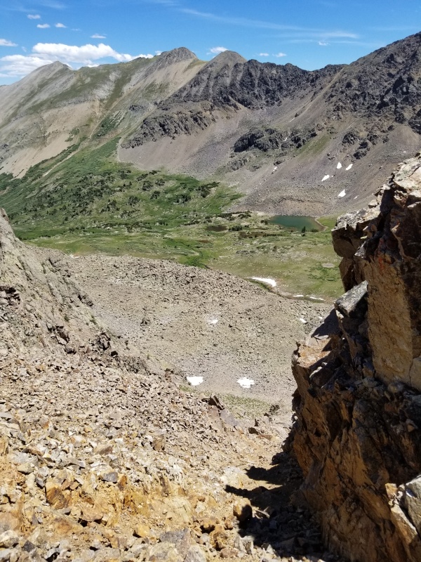
Took a quick break at the saddle and then powered up the last several hundred vertical of the day. The broken rock on the ridge proper looked a little gnarly but was easy enough to head straight up. 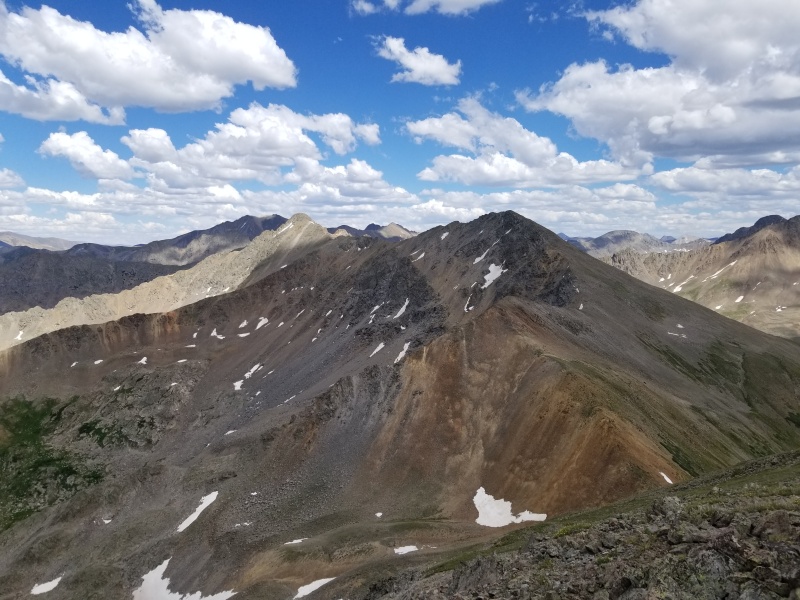
Bergsteigen and Furthermore's reports alluded to Brooklyn Basin holding a significant amount of not fun bushwhacking. Furthermore went up Brooklyn Basin to access the Telluriums and did not recommend this as an ascent route. Bergsteigen went down this way and did not have great things to say about it. I was curious if a descent into New York Basin would prove less miserable. 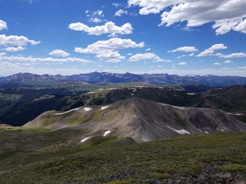
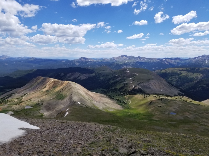
The descent from the saddle went easily with mostly grass and solid talus. From the high basin, I picked my way through easy terrain, looking out for swampy bogginess along the way, aiming to stay between the two north-draining creeks shown on topo maps before contouring west toward the trail down lower. 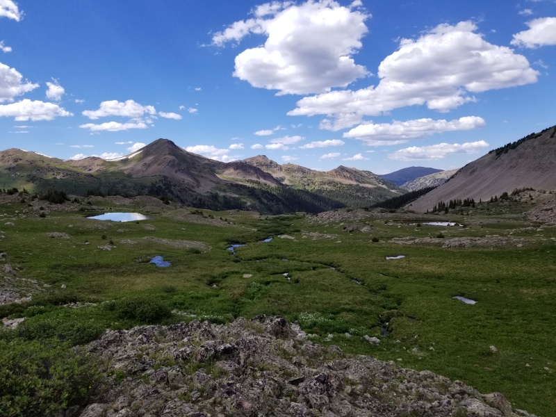
As far as bushwhacking goes, this went really well. Sure, there were a few downed logs and annoying rivulets choked with vegetation to negotiate, but the forest was pretty wide open. Around 11,100' I picked up the New York Creek trail and followed it down to the aqueduct. By this time of day the sun felt HOT, was directly on me, and I was beat. Aspirations of the Truro group the next day were replaced by fantasies of sleeping in and eating a lot of food on Sunday. 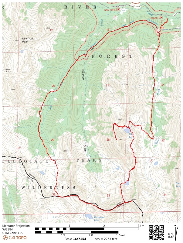
Thumbnails for uploaded photos (click to open slideshow): ")
")
")
")
")
")
")
")
")
")
")
")
")
")
")
")
")
")
")
")
")
")
")
")
")
")
")
")
")
")
")
|
| Comments or Questions | ||||||
|---|---|---|---|---|---|---|
|
Caution: The information contained in this report may not be accurate and should not be the only resource used in preparation for your climb. Failure to have the necessary experience, physical conditioning, supplies or equipment can result in injury or death. 14ers.com and the author(s) of this report provide no warranties, either express or implied, that the information provided is accurate or reliable. By using the information provided, you agree to indemnify and hold harmless 14ers.com and the report author(s) with respect to any claims and demands against them, including any attorney fees and expenses. Please read the 14ers.com Safety and Disclaimer pages for more information.
Please respect private property: 14ers.com supports the rights of private landowners to determine how and by whom their land will be used. In Colorado, it is your responsibility to determine if land is private and to obtain the appropriate permission before entering the property.


