| Report Type | Full |
| Peak(s) |
Casco Peak - 13,905 feet |
| Date Posted | 07/05/2022 |
| Date Climbed | 07/03/2022 |
| Author | BirdMan |
| Cacso from North Lake Creek TH |
|---|
|
First a quick PSA: Wild Wanderer did a great trip report summarizing the route to Casco from this TH. I suppose in a way, this trip report is a supplement to that. Also, it's a good idea to check out Bill's Lackawanna Route Description of how to get to the cabins as his info is spot on as well. Below is a shot of the second abandoned cabin you come to and the point that you leave the trail and start improvising the route. From this point I went straight back from the cabin and angled down to the small creek, really just letting the open spaces in the willows be my guide. Luckily this led me to a point where a few trees had been laid across the creek so crossing was no issue at all. 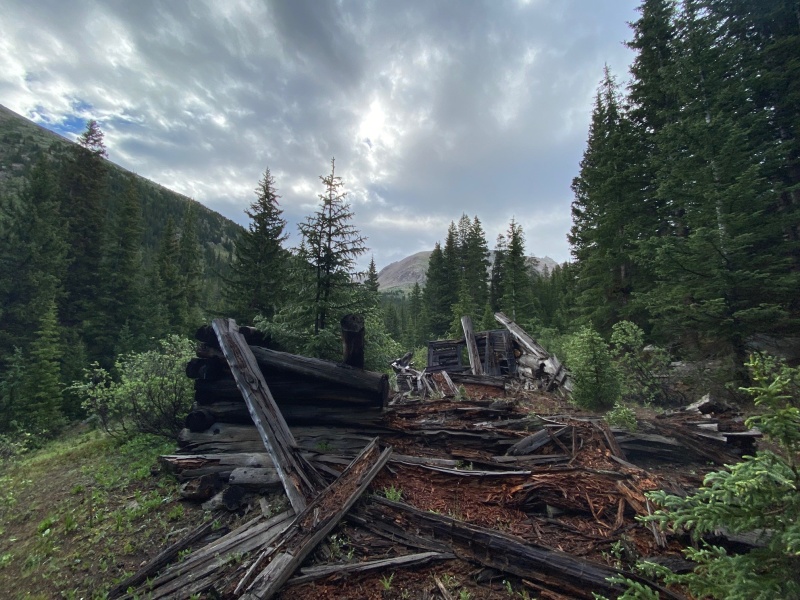
After crossing the creek, there wasn't an established trail. There are plenty of willows along the creek and tall evergreens a little further away from the creek. I didn't want to whack my way through the willows so hiked away from the creek, maybe 50 yards to reach the trees and what I reasoned would be more open spaces to hike through. 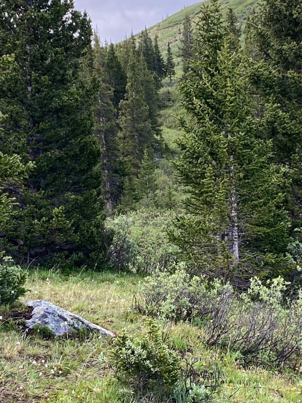
Hiking generally parallel to the creek, fairly quickly you start to pick up what appears to be game trails that last for a ways, die out and a new one is found. I was expecting this portion of the route to be more difficult to navigate but it wasn't too bad at all and soon the trail led me to another abandoned cabin. 
Continuing north and east (away from Lackawanna Gulch), you make your way through the trees and begin to see less of the willows. The goal is to stay to your left below. 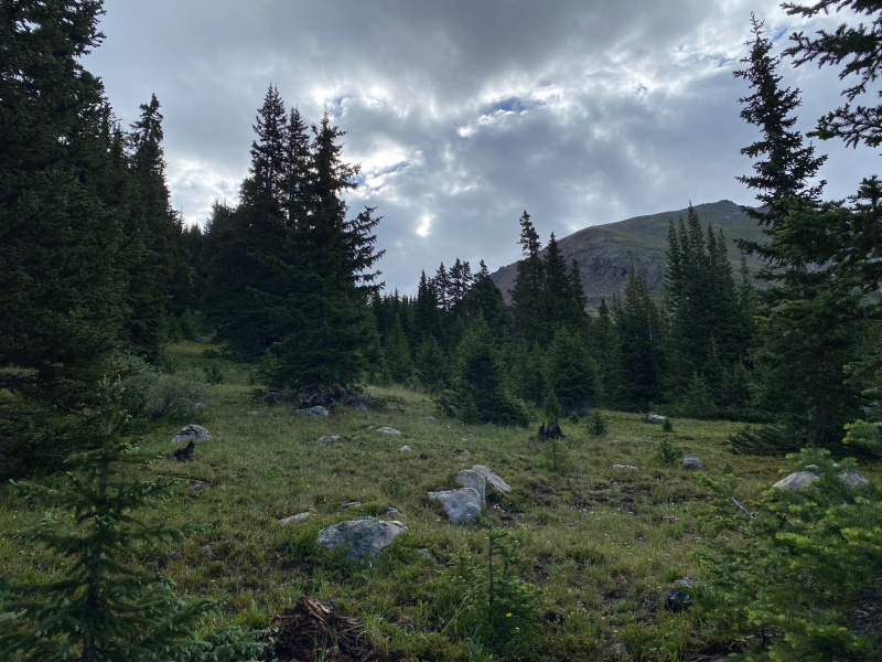
I didn't expect this but hearing running water I deviated from the trail portion I was on to investigate. Here's a shot of the creek and cliff walls on the Lackawanna Gulch side. 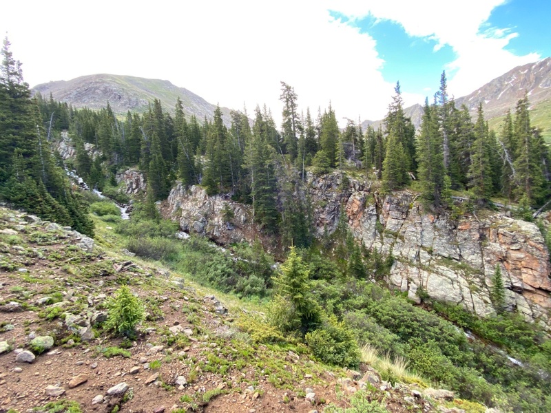
At last you gain enough ground to enter an unnamed basin to the north of Lackawanna Gulch. Again, the goal is to keep straight and to the left in the below shot. 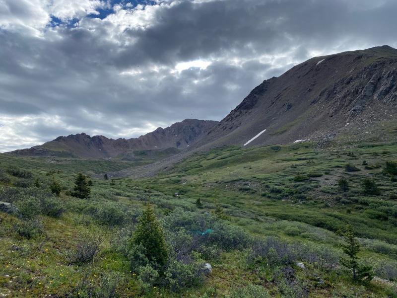
Entering the basin I stopped to apply sunscreen and eat a little and stumbled upon enough wood slats that when I placed them together appeared to have been an old barrel or keg? 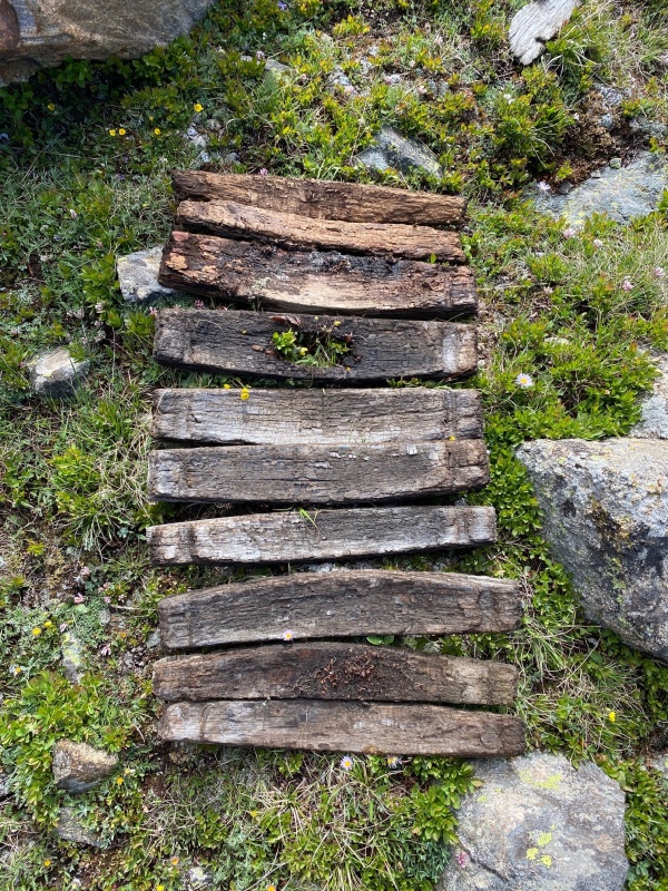
A trick of the light led me to take this photo. Oh boy... 
It was nice to be on more open ground and after ascending a little further I got my first look at Casco Peak to the right below. 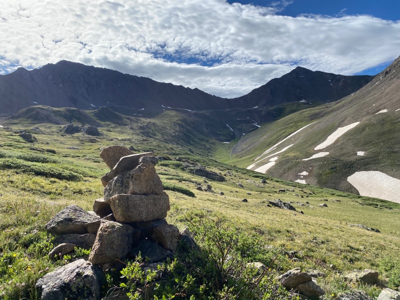
You can make a more direct route to the peak, but for no particular reason I was a little more high and to the left in the basin and discovered a dirt road. What tha...? 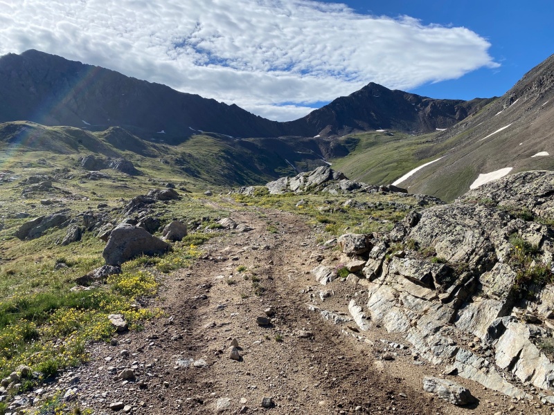
Getting closer to the peak and about to lose the last bit of soft, comfy grass to walk on. 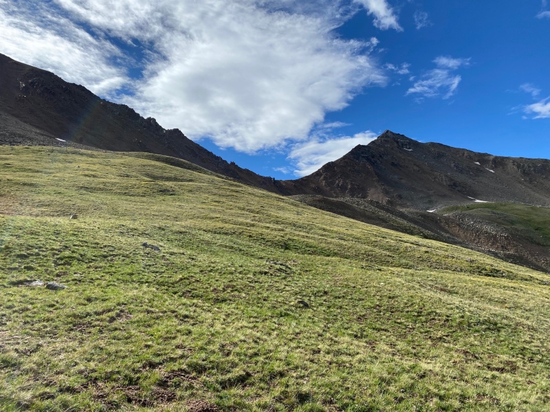
After the grass I was able to walk on a few snow fields which were certainly better than the talus field below. Getting up to the top of the ridge in the scree was short but it was still easily the least pleasant part of the day. On the way up (in red) I took a more angled route. Coming down (in blue) I took a more switchback-like route and "scree skied" down. Naturally, I tried to minimize dirt and rock fall but I was glad this is such an untraveled route and there was no one below me. 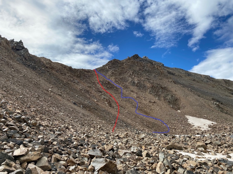
After gaining the ridge, there was just some class 2 scrambling required to get to the top. 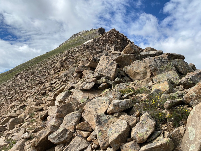
Having started at a non-alpine start time of 6:45 am, I was on top around 10:45 am for a leisurely 4 hour pace. 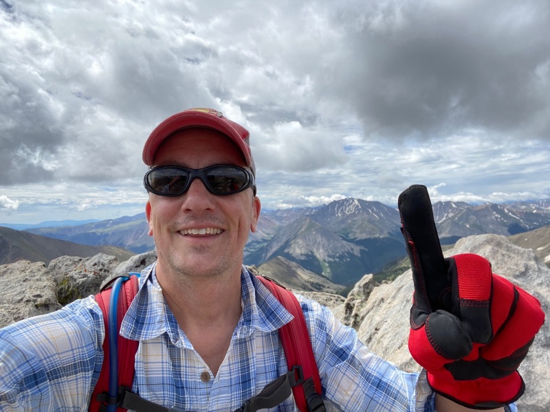
Taking in the well earned views. The ridge I came up is obscured by the rocks in the foreground but it extends to the Frasco Benchmark (center left) and French Mountain to the right. 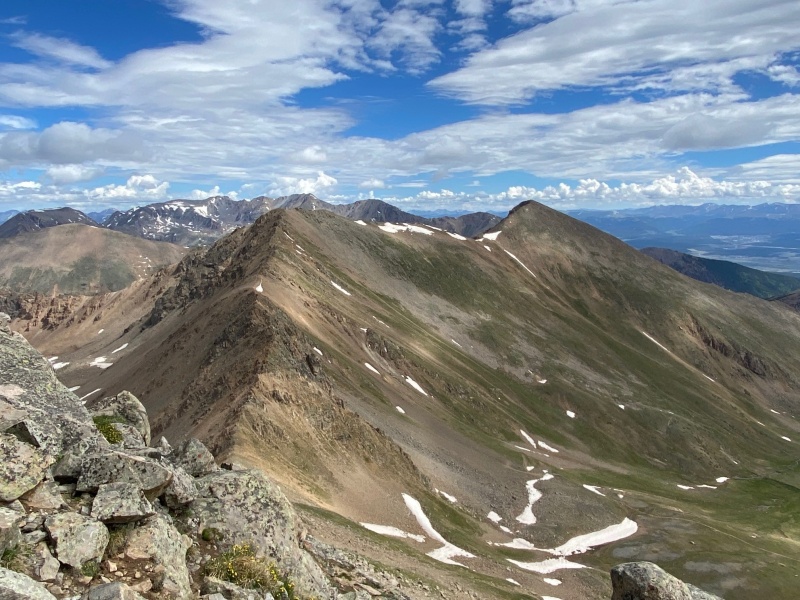
With mission accomplished it was time to take in the surroundings up high. 
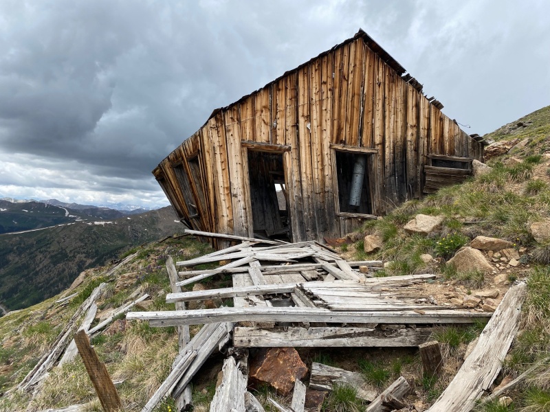
From a different vantage point you can sometimes see things you didn't notice before. On the descent I noticed the dirt road I found actually lead to what appeared to be yet another cabin? I was tired from hiking the previous day and a side trip to the cabin would add more distance and worse more elevation to the day but I figured I was so close I had to check it out. 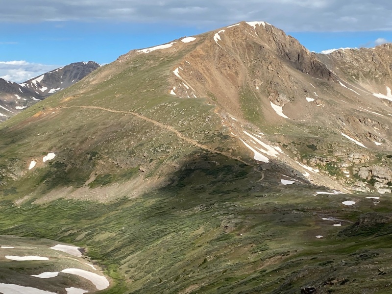
I learned later that this is the old Champion Mine and is something to see if you're feeling up for it. 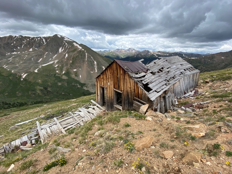
Lastly, here's a topo of the area. The blue represents the trail from the TH towards Lackawanna. The red line is the route described here, i.e. leaving the second cabin in the woods and angling down towards the creek, getting up into the unnamed basin, to the ridge and ultimately to Casco Peak. Happy Hiking! 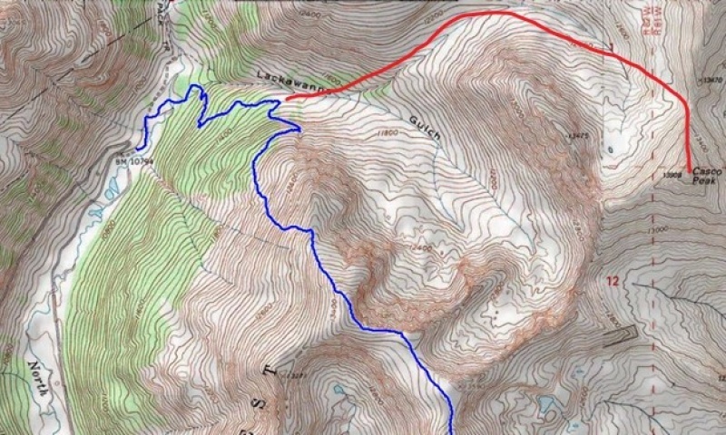
Thumbnails for uploaded photos (click to open slideshow): ")
")
")
")
")
")
")
")
")
")
")
")
")
")
")
")
")
")
")
")
")
")
|
| Comments or Questions |
|---|
|
|
Caution: The information contained in this report may not be accurate and should not be the only resource used in preparation for your climb. Failure to have the necessary experience, physical conditioning, supplies or equipment can result in injury or death. 14ers.com and the author(s) of this report provide no warranties, either express or implied, that the information provided is accurate or reliable. By using the information provided, you agree to indemnify and hold harmless 14ers.com and the report author(s) with respect to any claims and demands against them, including any attorney fees and expenses. Please read the 14ers.com Safety and Disclaimer pages for more information.
Please respect private property: 14ers.com supports the rights of private landowners to determine how and by whom their land will be used. In Colorado, it is your responsibility to determine if land is private and to obtain the appropriate permission before entering the property.

