Download Agreement, Release, and Acknowledgement of Risk:
You (the person requesting this file download) fully understand mountain climbing ("Activity") involves risks and dangers of serious bodily injury, including permanent disability, paralysis, and death ("Risks") and you fully accept and assume all such risks and all responsibility for losses, costs, and damages you incur as a result of your participation in this Activity.
You acknowledge that information in the file you have chosen to download may not be accurate and may contain errors. You agree to assume all risks when using this information and agree to release and discharge 14ers.com, 14ers Inc. and the author(s) of such information (collectively, the "Released Parties").
You hereby discharge the Released Parties from all damages, actions, claims and liabilities of any nature, specifically including, but not limited to, damages, actions, claims and liabilities arising from or related to the negligence of the Released Parties. You further agree to indemnify, hold harmless and defend 14ers.com, 14ers Inc. and each of the other Released Parties from and against any loss, damage, liability and expense, including costs and attorney fees, incurred by 14ers.com, 14ers Inc. or any of the other Released Parties as a result of you using information provided on the 14ers.com or 14ers Inc. websites.
You have read this agreement, fully understand its terms and intend it to be a complete and unconditional release of all liability to the greatest extent allowed by law and agree that if any portion of this agreement is held to be invalid the balance, notwithstanding, shall continue in full force and effect.
By clicking "OK" you agree to these terms. If you DO NOT agree, click "Cancel"...
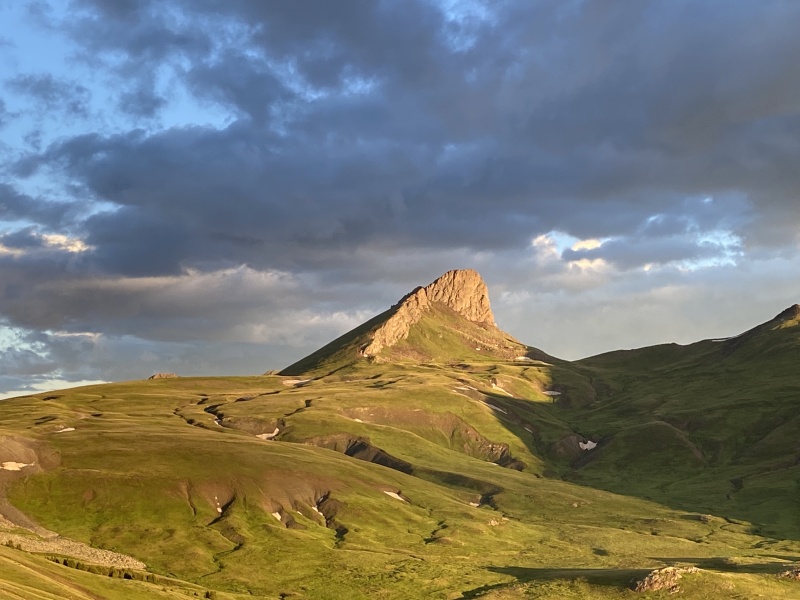
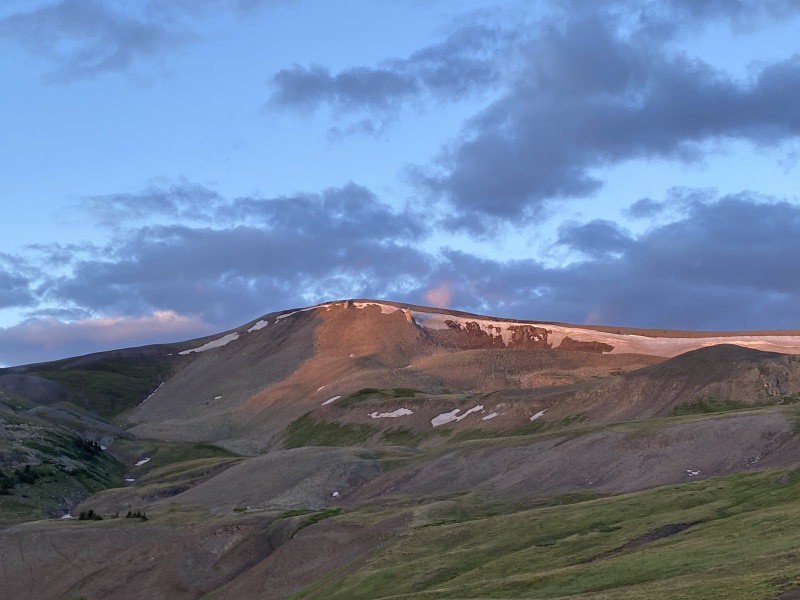
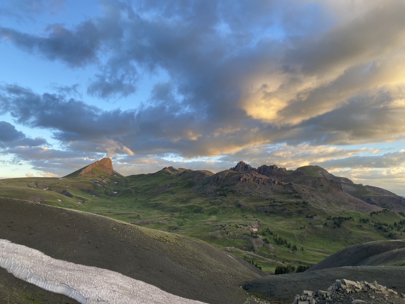
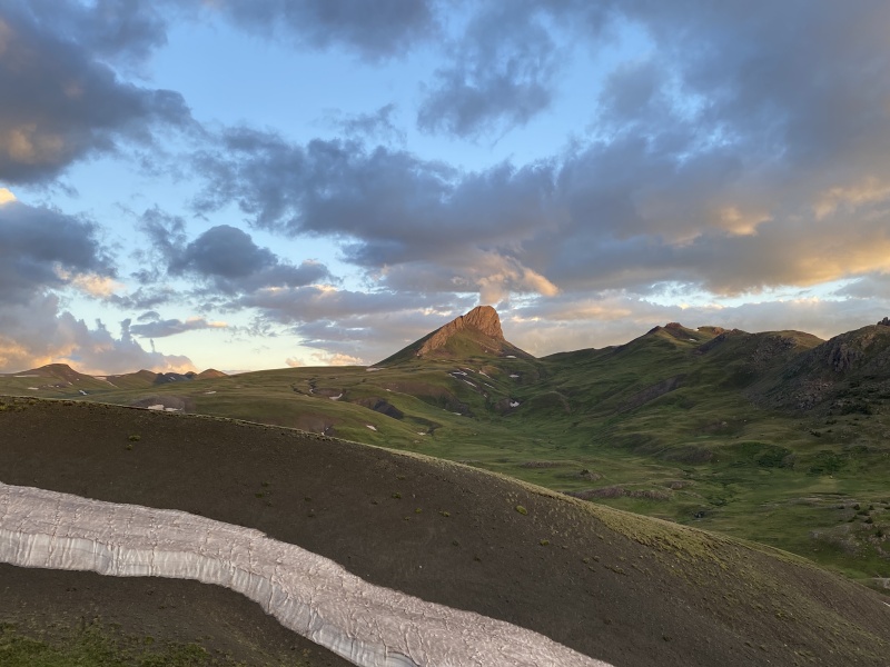
The coolest part of the hike was that the light kept changing on the face of Wildhorse.
Plans changed. Ended up in the San Juans for the Fourth of July. The weather forecasts were wrong, again. Seems so far this summer that happens more often than they get it close to correct. Friday, Saturday and Monday mornings were perfect for getting a summit. Sunday was a bit rainy.
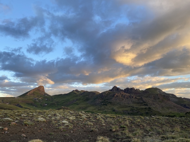
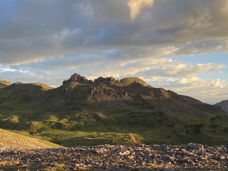
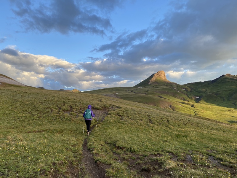
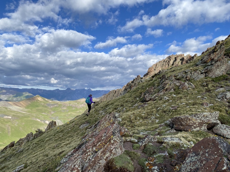
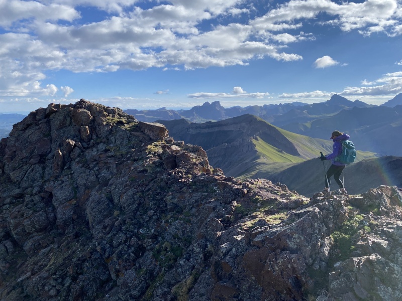
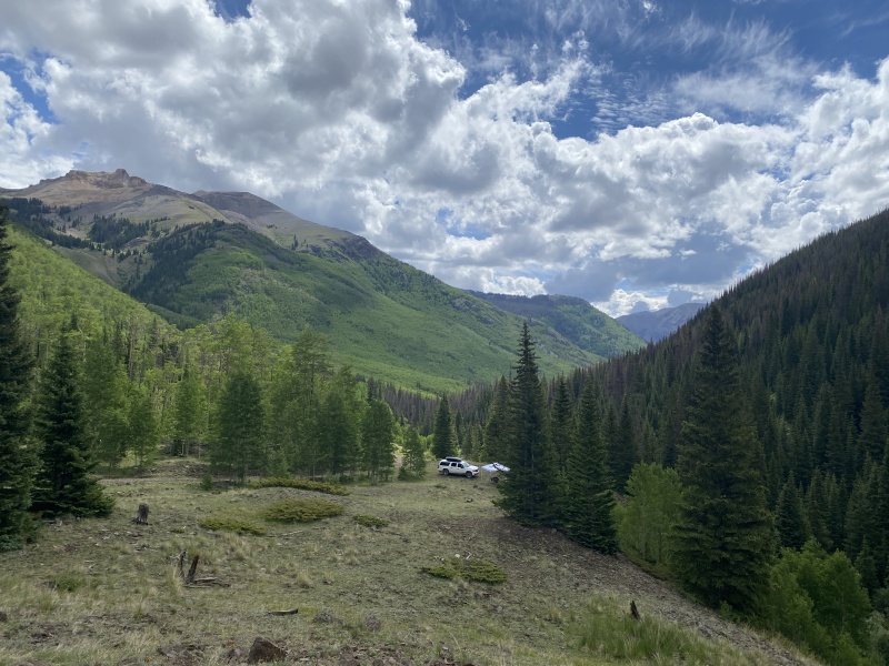
Wildhorse and Dragon's Back
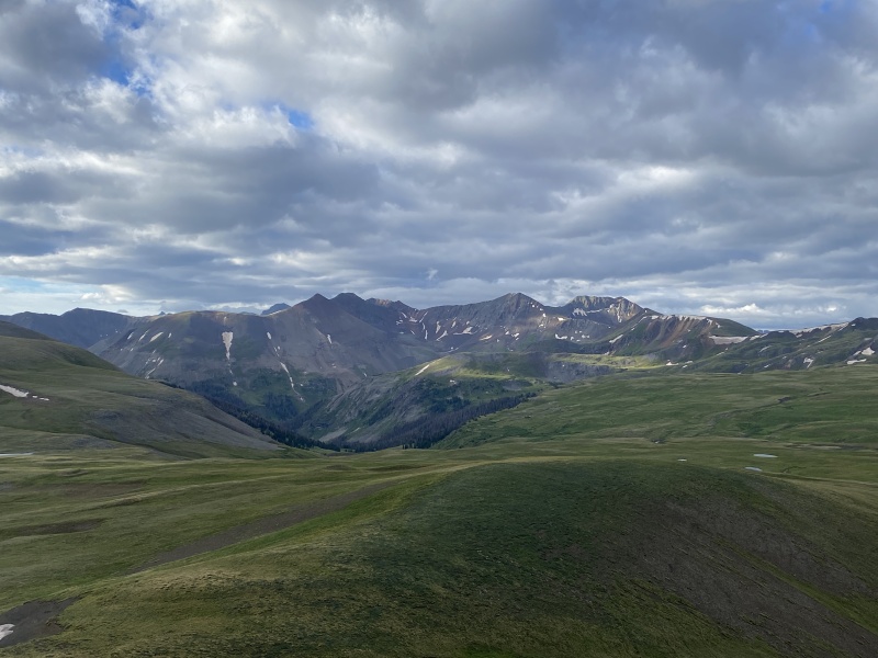
We camped on CR 870 above the 4wd turnoff for the upper TH for Wetterhorn. We drove up to the TH and climbed Wetterhorn (again) on Saturday. Beautiful morning. It’s the Perfect 14er.
But what to do on Sunday? After a look through a hiking book we had brought, Wildhorse Peak caught our attention. We could grab a few more peaks from Engineer Pass.
4 a.m. alarm on Sunday. We drove down 870 to Henson Creek Road. It was a bit rainy, but the forecast called for a pretty good day. Engineer Pass road was rougher than I remembered. Then we hit Mile Marker 12. Ugh. A wash out.
SunrisePeak 13,093, south side of the N Henson Creek BasinDolly Varden Mountain, SW side of the N. Henson Creek BasinNear 12,000Cow Creek drainage
I’m guessing this was pretty recent because the “repair” looked quick and unfinished, like they got it passable just for the holiday weekend and would come back and actually fix it later. The issue, the approach was short and steep. I put the Suburban in 4x4 and went for it. The 2500 is long and heavy. It got all four wheels on the slope and just dug in the wet dirt and small rocks. The locking diff didn’t even help. I backed off and then walked up the slope. I left some nice tire divots. I thought about getting a running start, but not sure what type of control I’d have in the soft narrow road with a nice drop off. I think our Wrangler would have gone right up it. (So would all the Little Texas OHVs.) Disappointed we drove back to camp and took a nap.
The clouds cleared a bit around 10 a.m. we took a walk up the road from camp and then up the N. Henson Creek trail and beyond. We saw Wildhorse Peak. We thought about going for it. But the clouds looked a bit threatening. We decided to give it a go from this route on Monday. Good call, as we heard thunder in the area on our way back down.
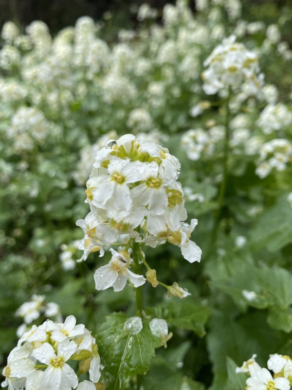
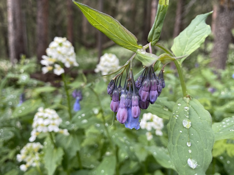
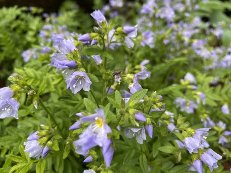
Lots of wildflowers and a cool waterfall on the N. Henson Creek Trail. Worth the morning just to hike the road and trail in the day light. Most of this we’d miss in the dark, or skip because of being tired after a hike.
Monday morning, we were slow getting up. We drove to the TH (near 11,200 at the big turn in the road.) It is a bit more than two miles from the Wetterhorn TH turn on 870.
I left my trekking poles at camp. Ugh. I locked the doors and discovered when we got back, that I had left the window wide open. Ugh. I was tired and fussy.
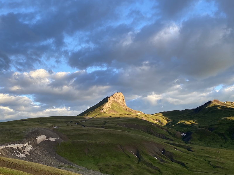
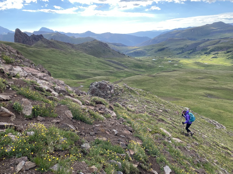
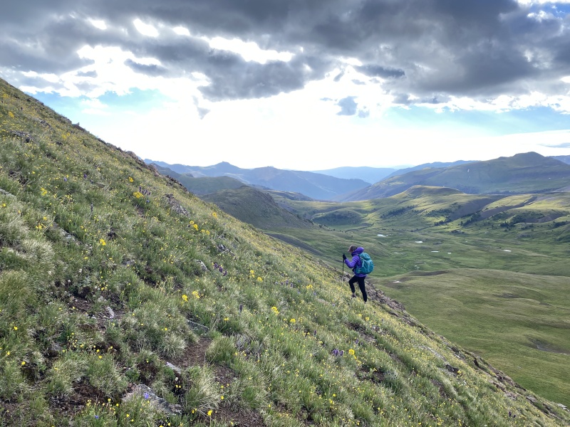
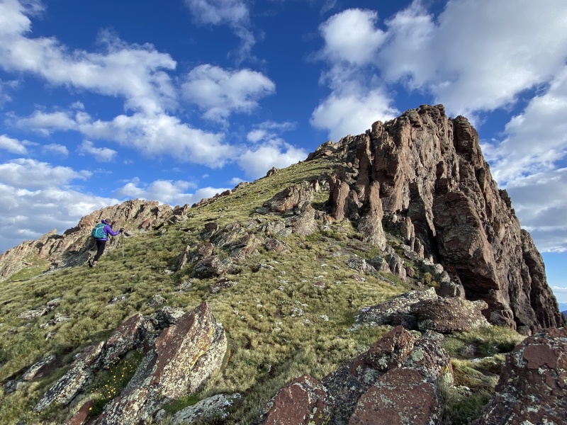
Wildhorse and Dragon's Backlight keeps changingOn the Ridge Stock trailDragon's Backlight keeps changing
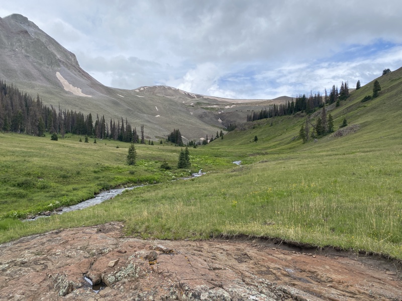
The N. Henson Creek trail is not widely used. It is very wet. Expect wet boots and pant cuffs. The trail sits in several wet drainage areas, which can be muddy. It is also very grassy, weedy, which adds wetness via rain or dew. About a quarter mile in, the trail leaves the creek and goes up. Up passed the waterfall into the upper N. Henson Creek basin, the headwaters. Just a cool hike by itself.
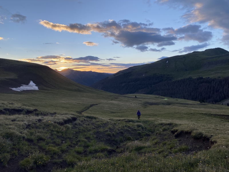
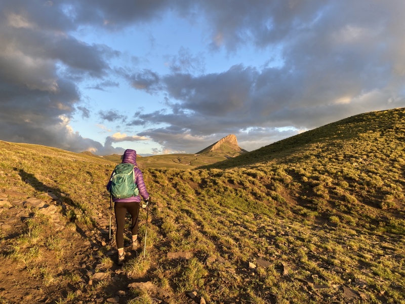
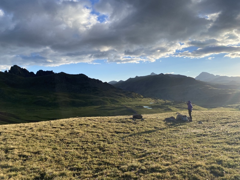
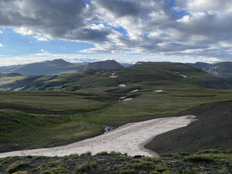
We saw the first glimpse of the sunrise here. Up the right (north) slope, we hiked without a trail toward the Ridge Stock trail. The N Henson basin had great views of Dolly Varden Mountain…. Then we went over the small ridge (12,200) to see the Cow Creek Basin, Dragon’s Back, American Flats and of course the stunning Wildhorse Peak.
That was the first 1,000 feet of gain. Through out the morning we heard several bull elk bugling in the Cow Creek drainage. Saw one from a great distance.
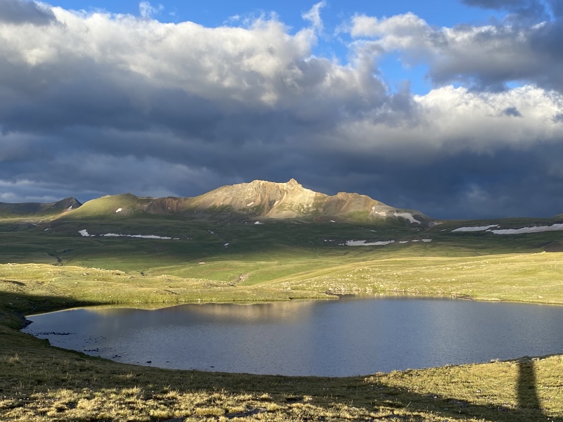
We joined the Ridge Stock Trail and hiked to American Lake. It’s not that impressive.
Ridge Stock trail, light keeps changinglight keeps changingAmerican Lake and Darley MountainSnack time
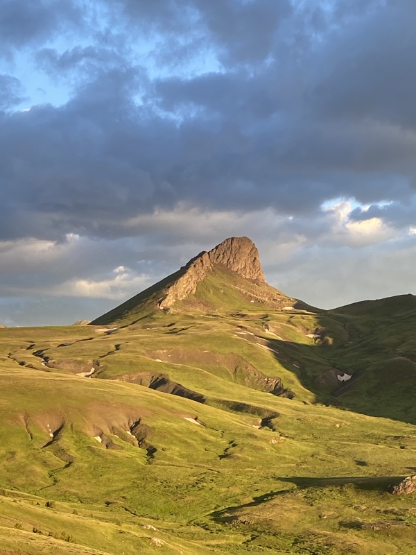
But the best part of the morning. Watching the face of Wildhorse Peak. Every time the clouds moved, the colors on the rock changed as the golden-hour sun crept higher in the sky. You can see the peak for most of the hike.
I kept stopping to watch the colors. The cloudy backdrop. The bright green grass. The Colorado blue sky. Just magnificent.
We had a snack near the lake and then cut across the grassy meadows toward Wildhorse. The ground wasn’t flat, but just enough slope you want to watch where you go so it is not up and down, up and down.
light keeps changingLooking back at the routeThe grassy slope!Looking toward Engineer Pass areaSlope
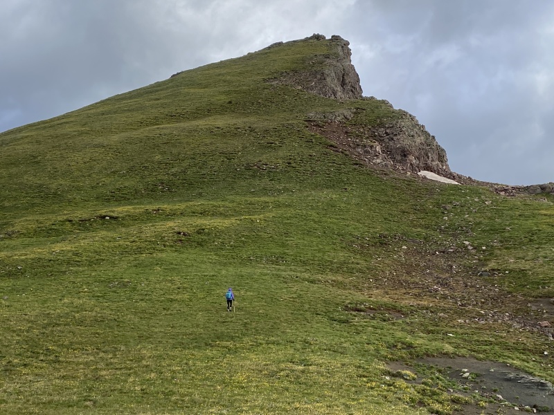
There is a small bump or ridge, kind of phallic like on the topo, in front of the peak. We followed the shaft a bit which led to the mountain.
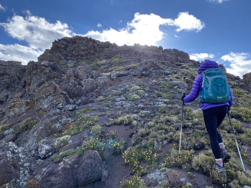
The route up is to the left, west, of the rocky rib. It is mostly grass and dirt. But it is STEEP grass. One of the steepest slopes I’ve hiked. I wish I had remembered my trekking poles. Thought about using my hands a few times. But I made my own switchbacks. The grass and dirt made for some good footing.
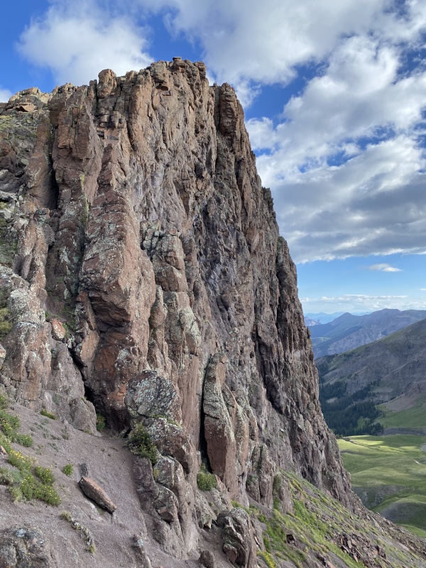
Along the rocky rib, near 12,900, you can get a great view of the face. And from here, it is not as steep, and gets rockier.
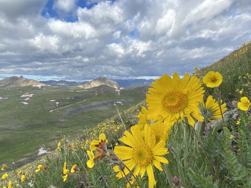
Steep slope, near 12,800Slope!Lots of flowers on the slope
The base of the peak is near 12,600. The top is 13,266 That’s about 600 feet of elevation in about 1,500 feet of distance. The legs were getting tired.
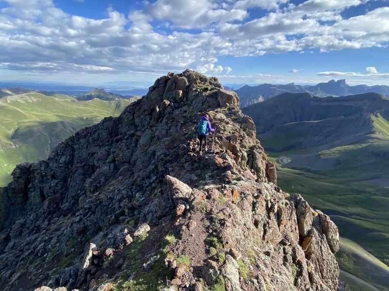
Near the top, the rocks are abundant, but still only Class 2.
At the top, you have to cross a wide rocky catwalk to reach the summit. It’s a cool feature to finish out this fun hike.
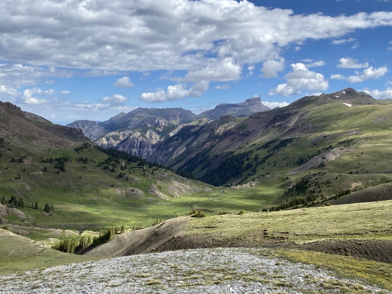
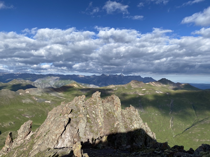
The views were outstanding. What impresses me about this peak is that it is almost by itself in a sea of green meadows.
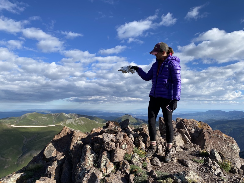
Near 12,900The faceMore rocksStill a grassy slope through the rocks.Looking toward SneffelsNear the summitThe CatwalkTo the summitSkull on the summit
STATS 7.6 Miles Road Trip 5 Hours Total 3 Hours Up. (We stopped a lot to watch the sunrise and the peak.) (The slope to the summit took about 45 minutes.) 15 Minutes at the Top. 1:45 Hours Down.
View of Wildhorse from WetterhornCamp spot on CR 870
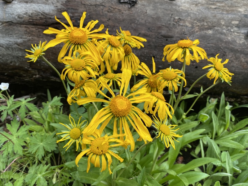
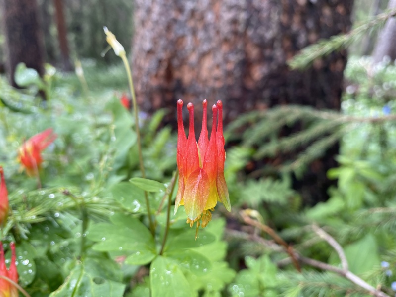
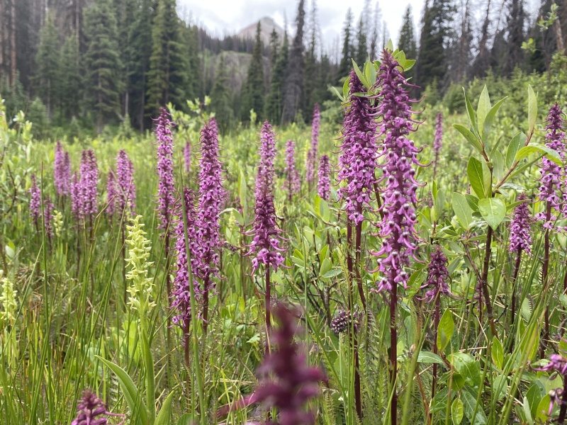
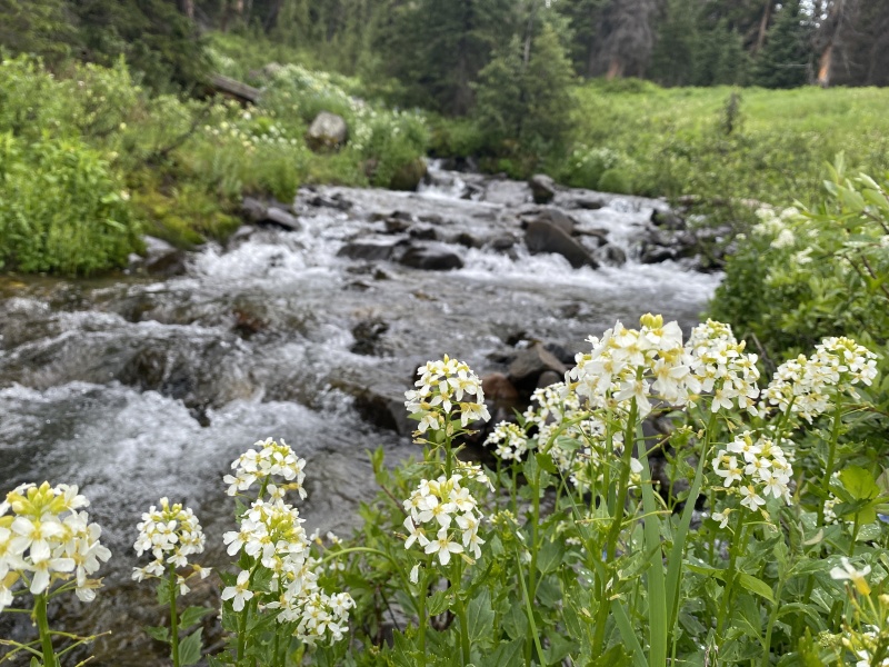
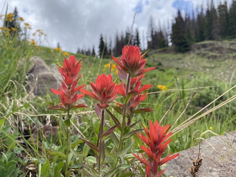
Wild Flowers along CR 870 and N. Henson Creek Trail / Basin
Lower falls near 11,500Upper falls near 11,500Near 11,300, the falls area would be to the right of this photo. Upper N. Henson Creek Basin, the headwaters, near 11,600
My GPS Tracks on Google Maps (made from a .GPX file upload):
What are the purple flowers resembling an elephant called? I've seen them on many trails, but do not know their name.
Thanks for the report. Great stuff!
I enjoyed the different lighting you noticed on Wildhorse. It's a funny peak...you approach it, drawn by the rock face the whole way, and then walk up grass. Blackwall from there is a great add-on and also gives some impressive views.
Thanks so much for this great TR, awesome pics, and GPX! Super excited to hike this lonesome beauty! :)
Caution: The information contained in this report may not be accurate and should not be the only resource used in preparation for your climb. Failure to have the necessary experience, physical conditioning, supplies or equipment can result in injury or death. 14ers.com and the author(s) of this report provide no warranties, either express or implied, that the information provided is accurate or reliable. By using the information provided, you agree to indemnify and hold harmless 14ers.com and the report author(s) with respect to any claims and demands against them, including any attorney fees and expenses. Please read the 14ers.com Safety and Disclaimer pages for more information.
Please respect private property: 14ers.com supports the rights of private landowners to determine how and by whom their land will be used. In Colorado, it is your responsibility to determine if land is private and to obtain the appropriate permission before entering the property.


")
")
")
")
")
")
")
")
")
")
")
")
")
")
")
")
")
")
")
")
")
")
")
")
")
")
")
")
")
")
")
")
")
")
")
")
")
")
")
")
")
")
")
")
")
")
")
")
")
")


