Download Agreement, Release, and Acknowledgement of Risk:
You (the person requesting this file download) fully understand mountain climbing ("Activity") involves risks and dangers of serious bodily injury, including permanent disability, paralysis, and death ("Risks") and you fully accept and assume all such risks and all responsibility for losses, costs, and damages you incur as a result of your participation in this Activity.
You acknowledge that information in the file you have chosen to download may not be accurate and may contain errors. You agree to assume all risks when using this information and agree to release and discharge 14ers.com, 14ers Inc. and the author(s) of such information (collectively, the "Released Parties").
You hereby discharge the Released Parties from all damages, actions, claims and liabilities of any nature, specifically including, but not limited to, damages, actions, claims and liabilities arising from or related to the negligence of the Released Parties. You further agree to indemnify, hold harmless and defend 14ers.com, 14ers Inc. and each of the other Released Parties from and against any loss, damage, liability and expense, including costs and attorney fees, incurred by 14ers.com, 14ers Inc. or any of the other Released Parties as a result of you using information provided on the 14ers.com or 14ers Inc. websites.
You have read this agreement, fully understand its terms and intend it to be a complete and unconditional release of all liability to the greatest extent allowed by law and agree that if any portion of this agreement is held to be invalid the balance, notwithstanding, shall continue in full force and effect.
By clicking "OK" you agree to these terms. If you DO NOT agree, click "Cancel"...
Trailhead: Just before South Fork Lake Creek, where 391 and Trail 1466 meet.
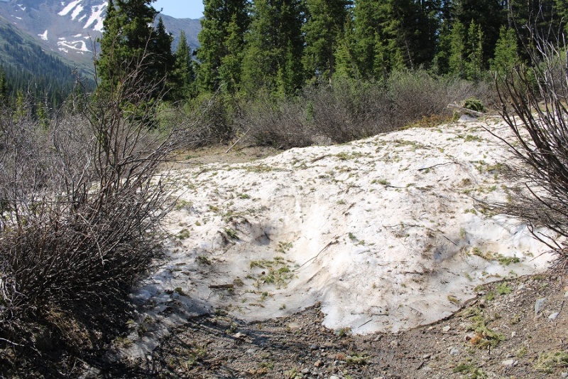
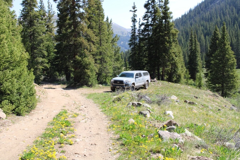
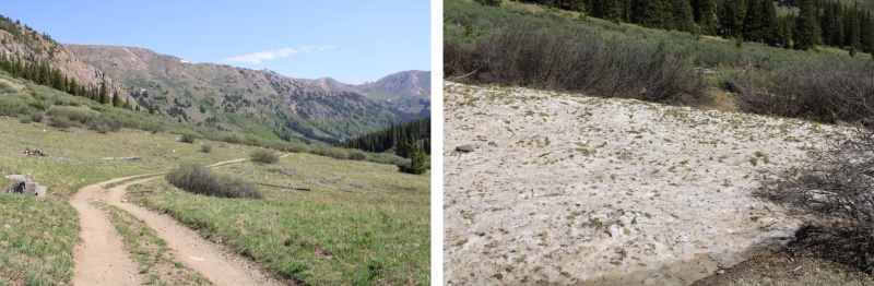
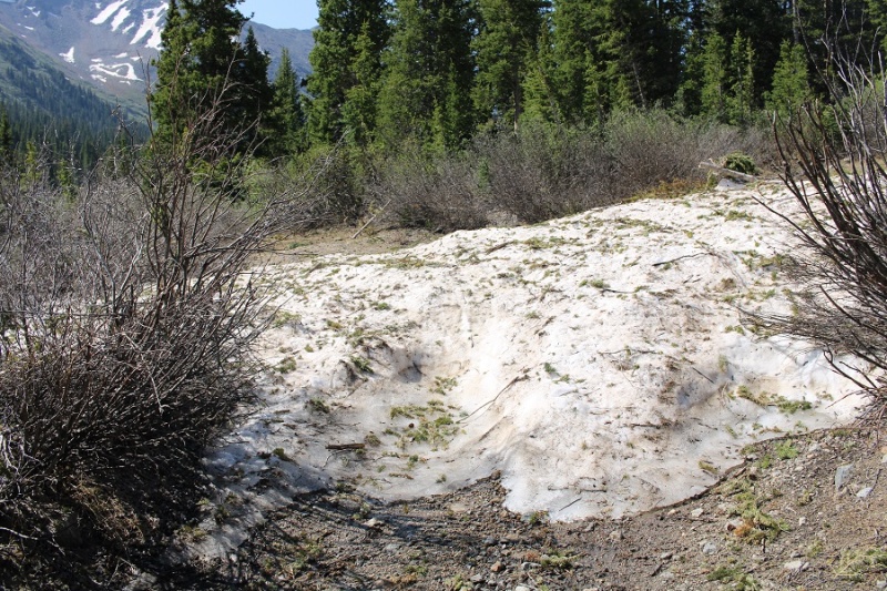
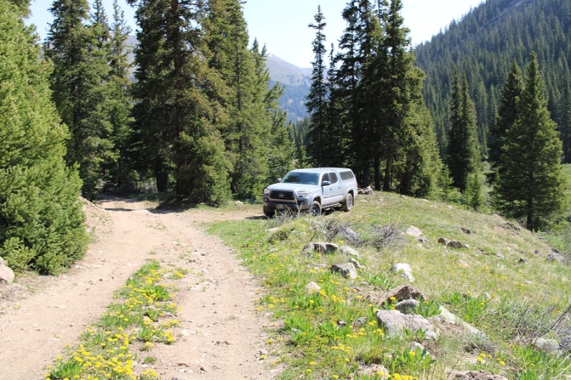
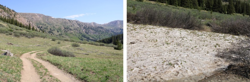
I drove in the night before, so I could start early the next morning. The only problem? I wasn’t able to drive all the way to the trailhead. There was a small ice flow that still hadn’t melted, and it’s the middle of June! It wasn’t very big, but so far no one has been able to cross it.
It wasn’t a big deal, but I did have to back up for half a mile before I could find a place to turn around, which happened to be at a nice campsite at 11,000’, so I parked there for the night.
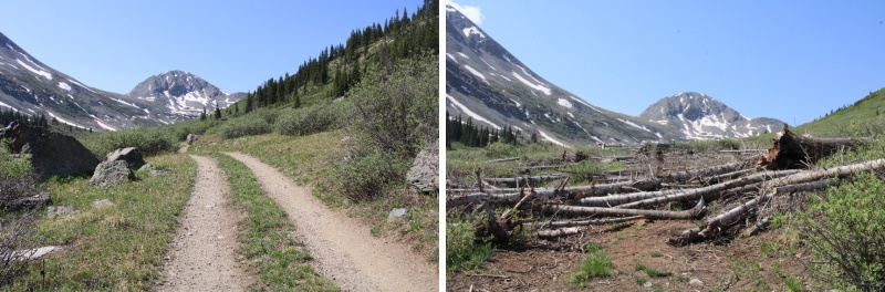
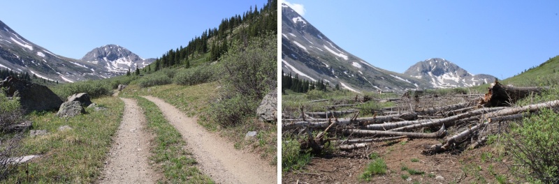
I woke up at 1am, 1:30am, and 2am to something moving around underneath my truck. It sounded about the size of a squirrel, and made sleeping difficult, so eventually I got up and sat in the front seat of my truck, ate breakfast (vanilla Breakfast Essentials shaken with a sleeve of Folgers instant coffee crystals), and was on my way at 3:30am. I could smell the Arizona and New Mexico fires as I hiked. I followed ROAD 391 for .8 miles to the proper trailhead.
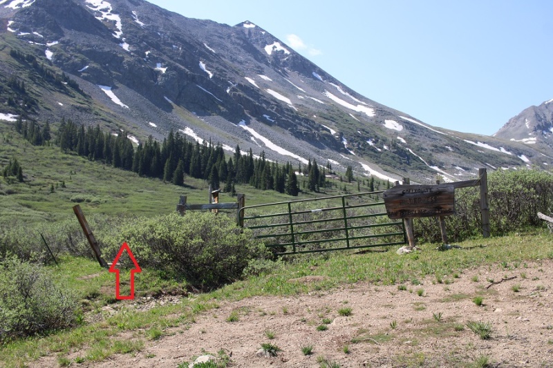
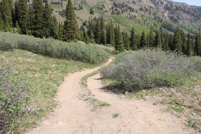
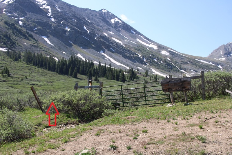
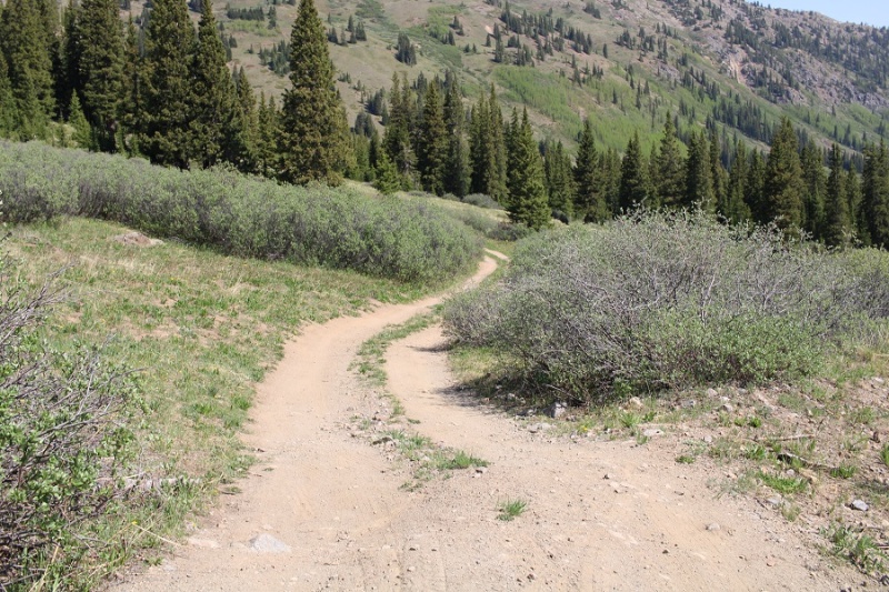
The entrance to the trail is to the left of the gate
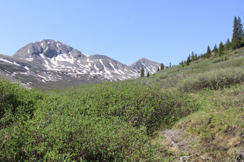
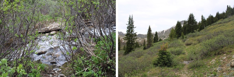
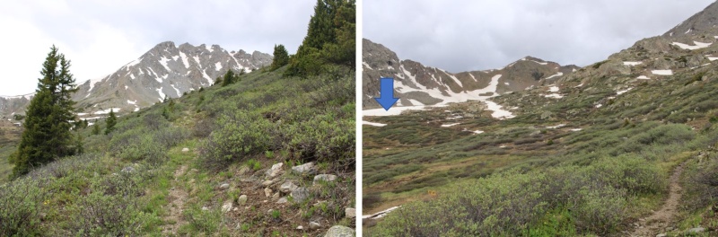
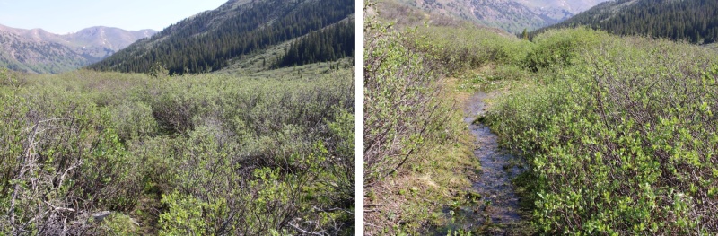
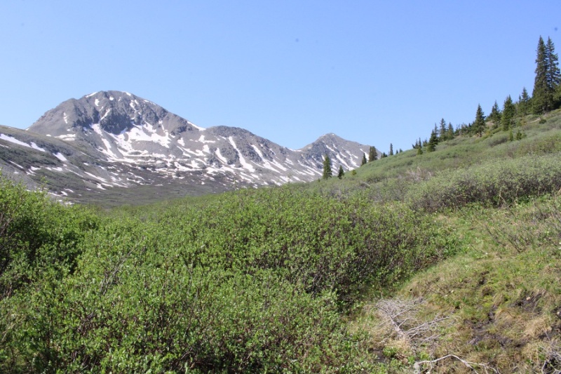
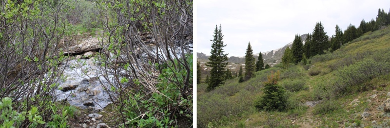
I followed the trail until it ended in the upper basin. This is a class 1 trail, but it goes through willows and since it’s currently spring conditions, there was an excess of water running in the middle of the trail. With no way to avoid it, my feet became wet and muddy early on in the hike.
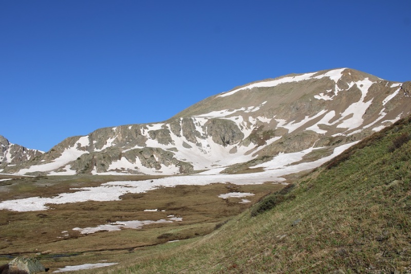
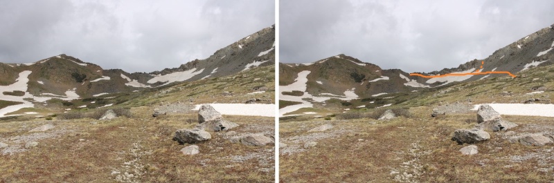
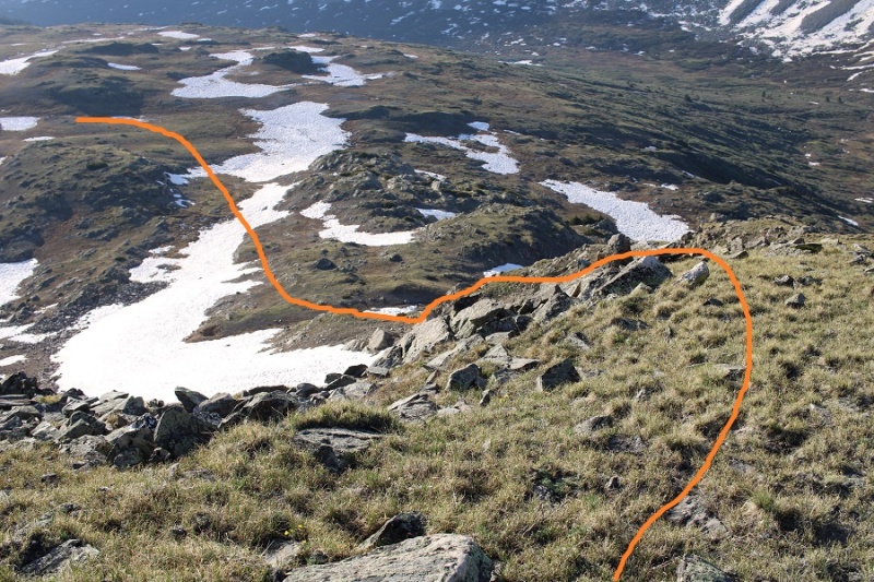
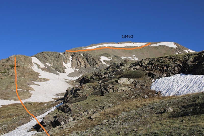
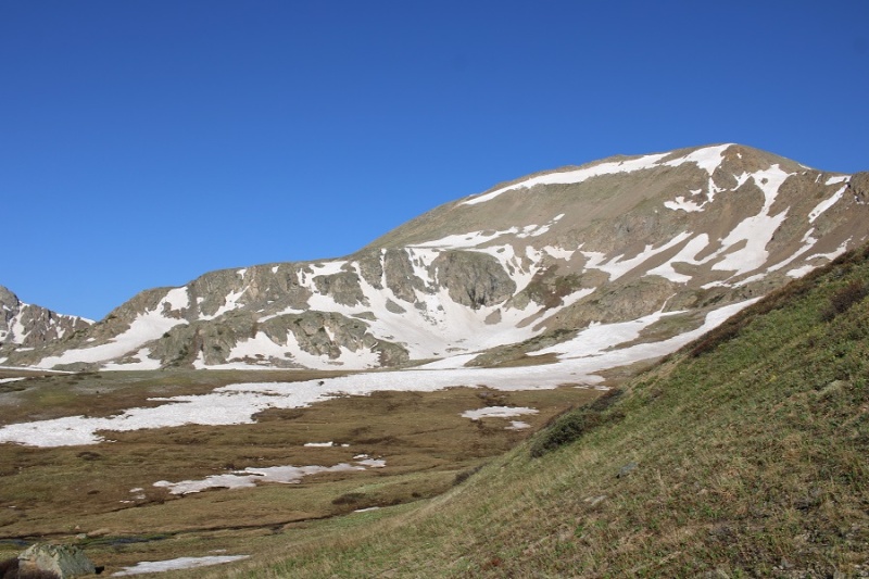
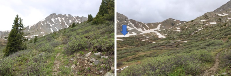
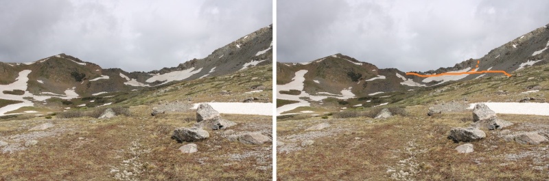
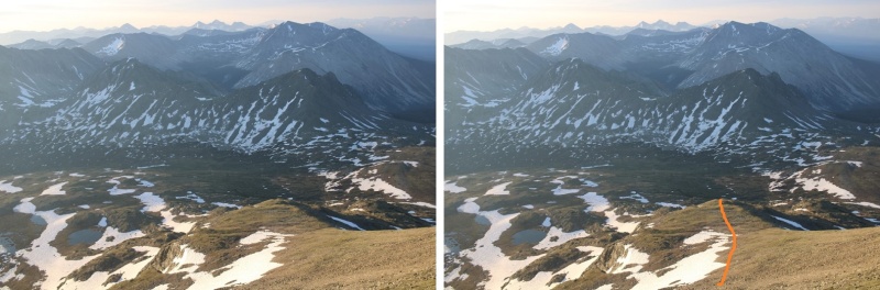
When I made it to the upper basin, my intent has been to take the trail to the saddle, and summit Prize Benchmark first. The intended route is the solid route, the route I took is the dotted line. Note: the solid route wouldn’t work, because it was too chossy on the other side to utilize.
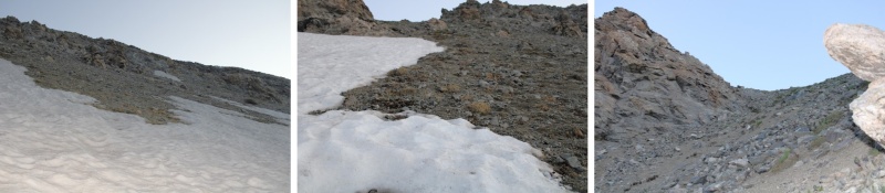
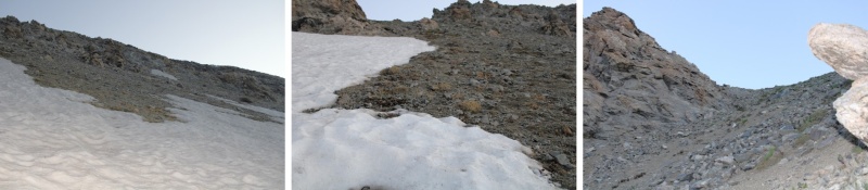
I put on my microspikes and started crossing the ice. I got about halfway across and felt out of my comfort zone: The ice was too slippery, and I didn’t have an ice axe. Instead, I turned and headed northeast towards a different part of the saddle
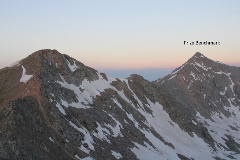
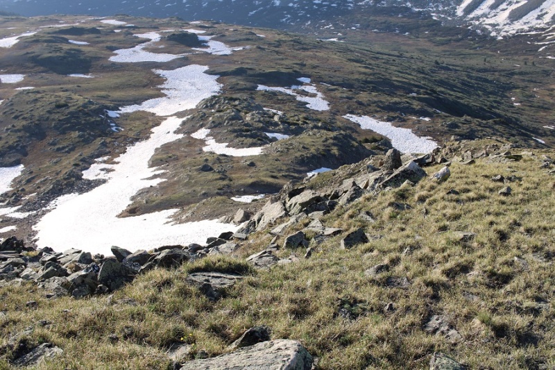
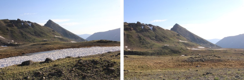
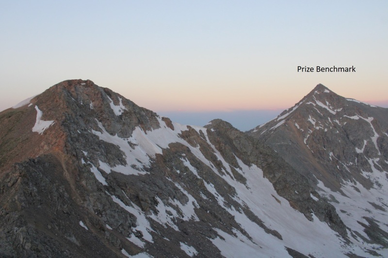
Now at the saddle, I turned and looked over at Prize Benchmark, but the route the rest of the way across the saddle looked sketchy. It was loose, with spires and talus.
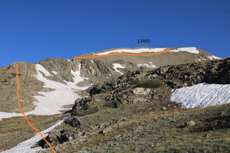
I got out my map, considered my options (did I want to backtrack?) and decided to change my plans for the weekend and head over towards PT 13460. I headed east along the ridge.
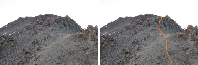
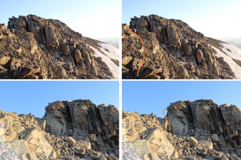
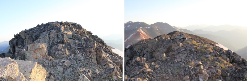
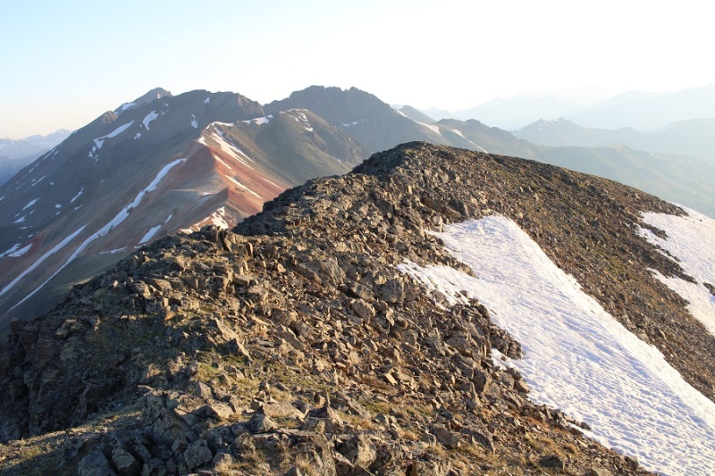
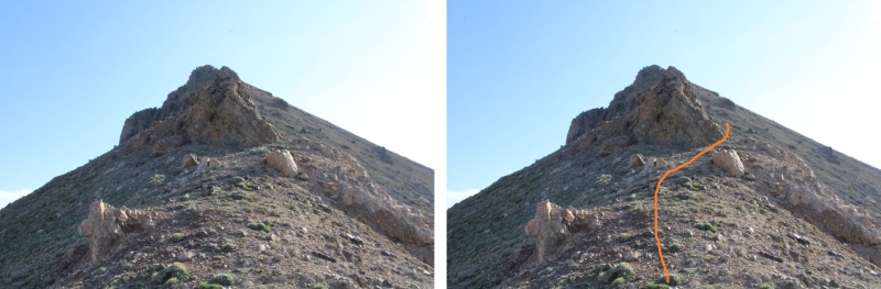
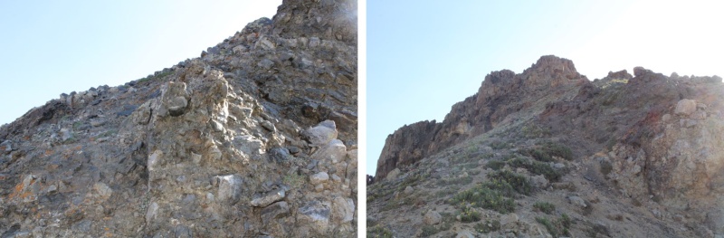
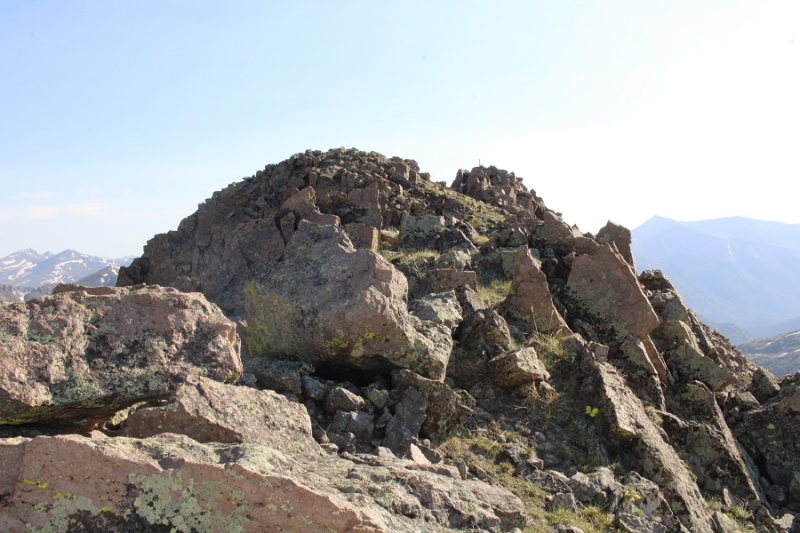
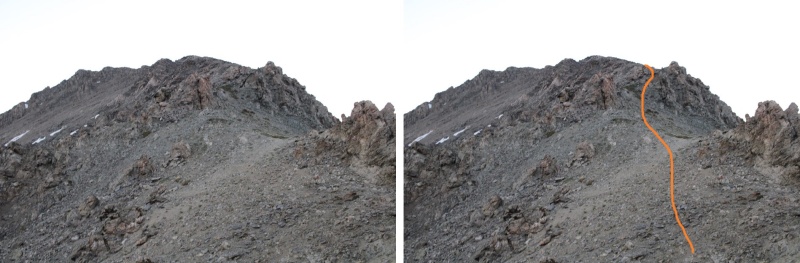
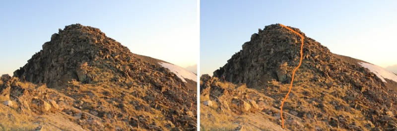
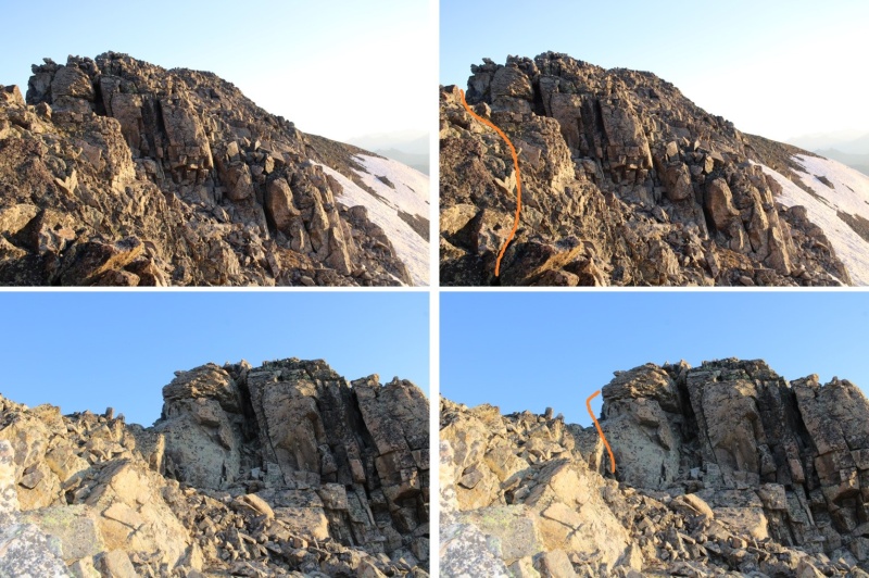
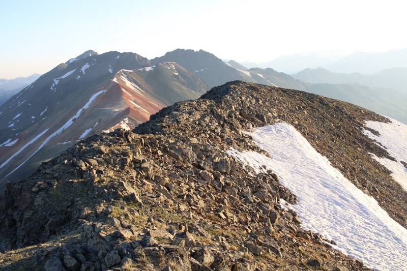
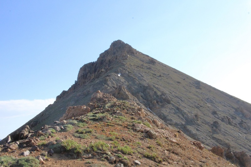
This was all easy class 3 or below, with a few scree gullies and rocks. The route was obvious, but there were a few false summits
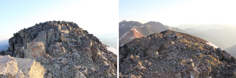
The summit was obvious, with a summit register clearly visible
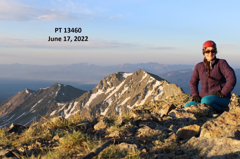
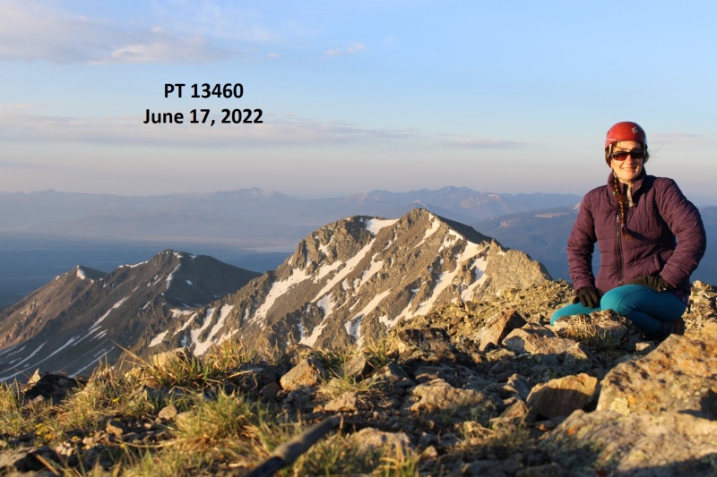
I summited PT 13460 at 6:10am
PT 13460:
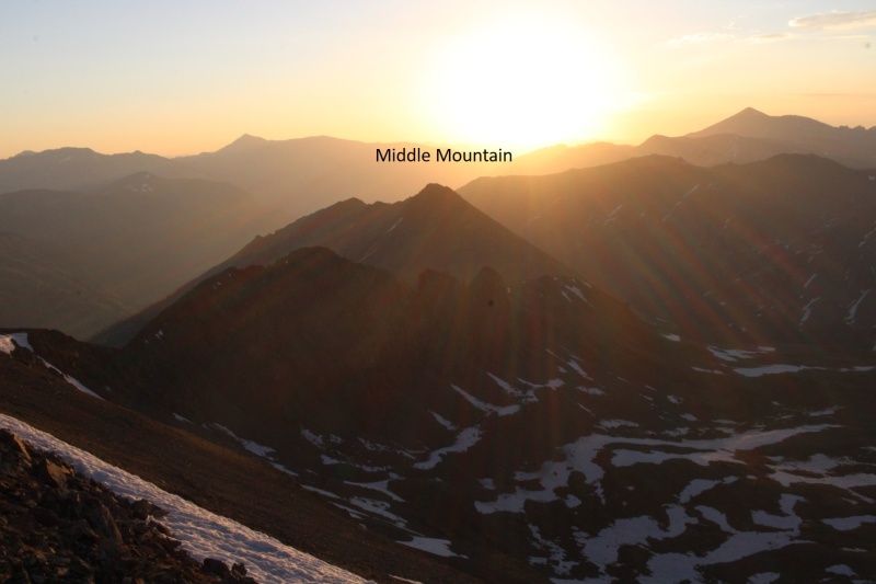
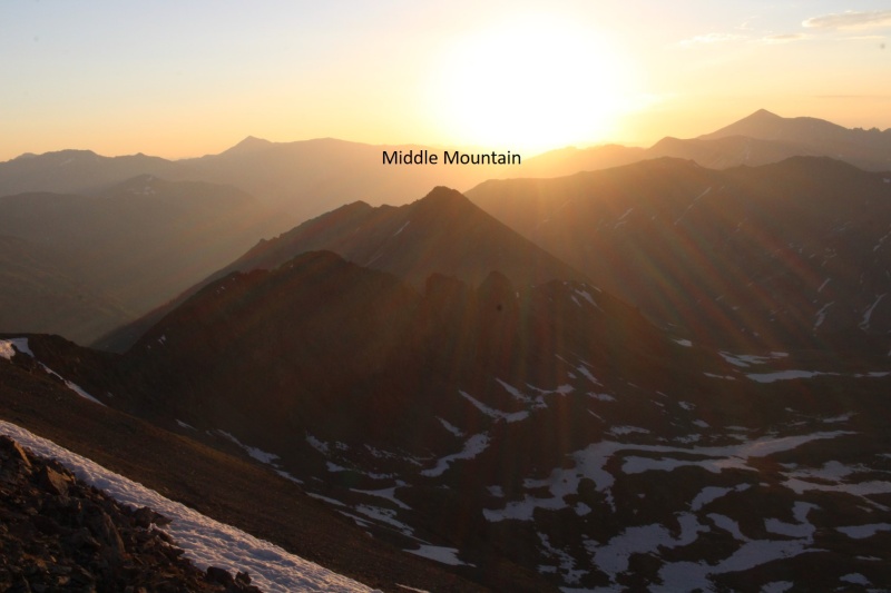
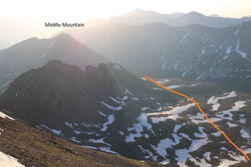
From the summit I could see my next intended summit, Middle Mountain, to the southeast. Sorry for the bad picture… the smoke from the fires created a haze that was hard to photograph through.
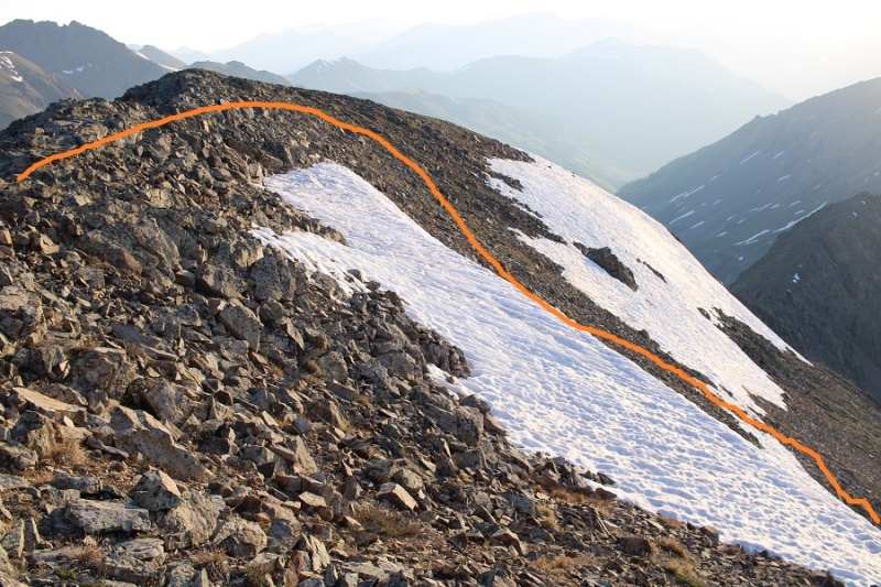
I didn’t have a good view on my way in of the snow conditions, so I walked southeast for a bit along the ridgeline to gauge the best descent route.
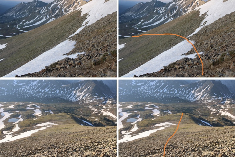
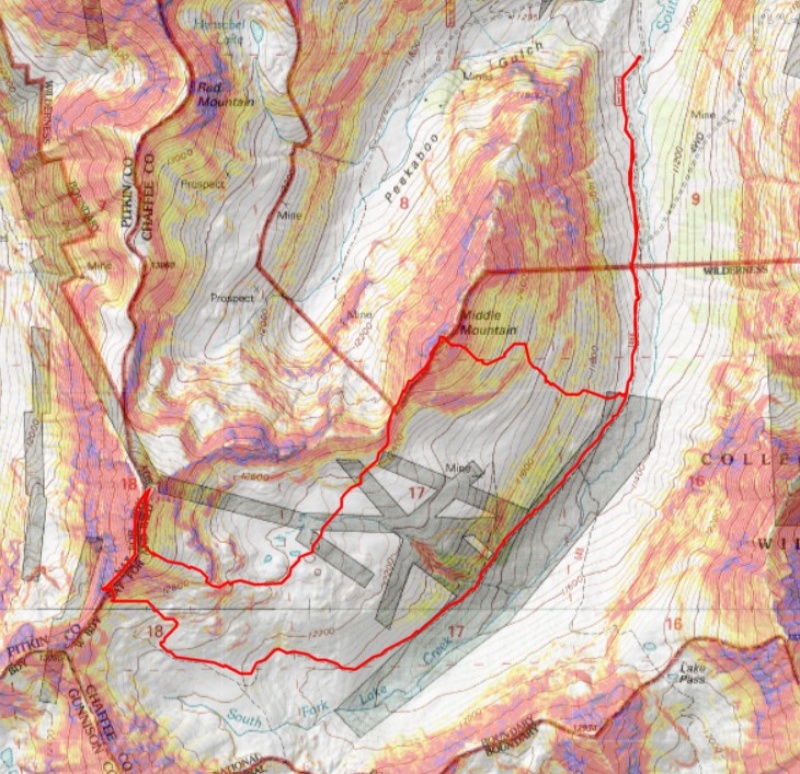
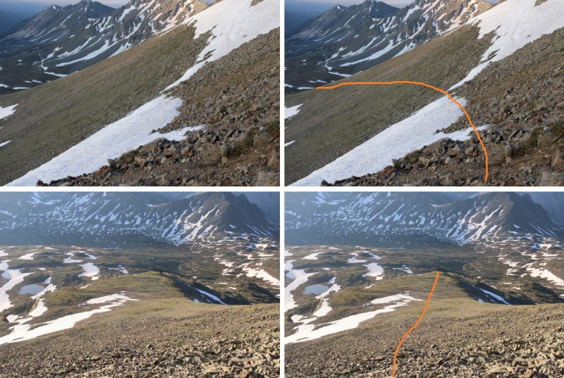
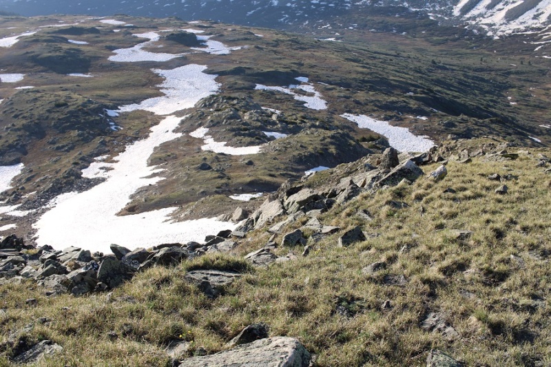
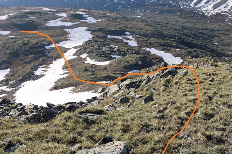
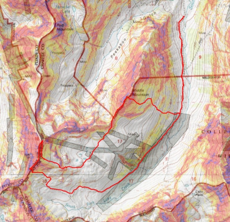
The conditions looked sketchy: All I could see from above were drop offs and snow, so I got creative and headed down into the basin, avoiding cliffs and snow. I found out I had cell service, and ssat for 30 minutes on the mountain, checking weather forecasts. Here’s my route:
I came to some tundra gullies, and was able to navigate down them without a problem.
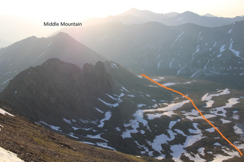
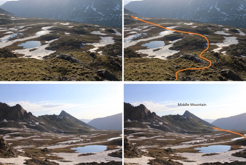
Here’s my route into the basin
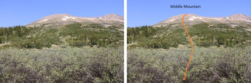
And through the basin to Middle Mountain. You can see the ridge to the left I was trying to avoid
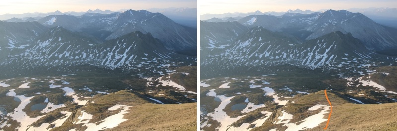
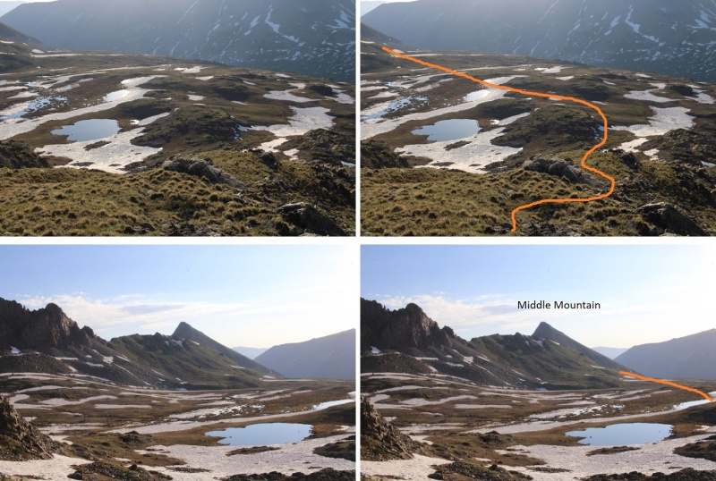
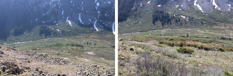
Here’s a look back on the route down into the basin
The upper basin was still melting out, and very... squishy. Once again, my socks and shoes got wet. I slogged my way southeast towards the saddle
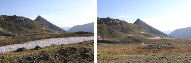
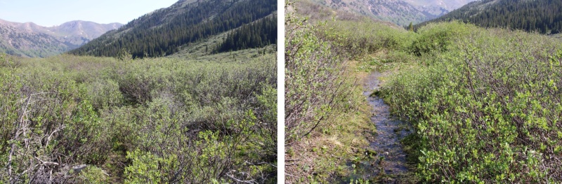
Here are the last few bits before the saddle. I was trying to avoid a large boulder and the willows
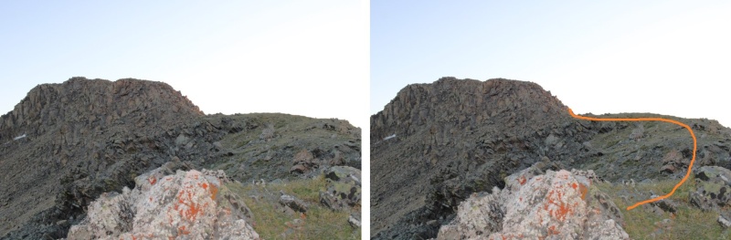
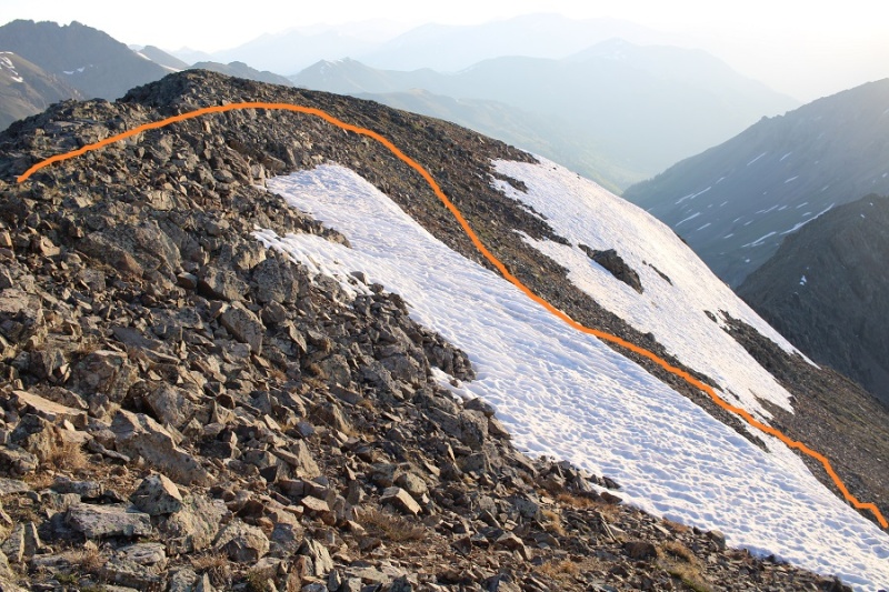
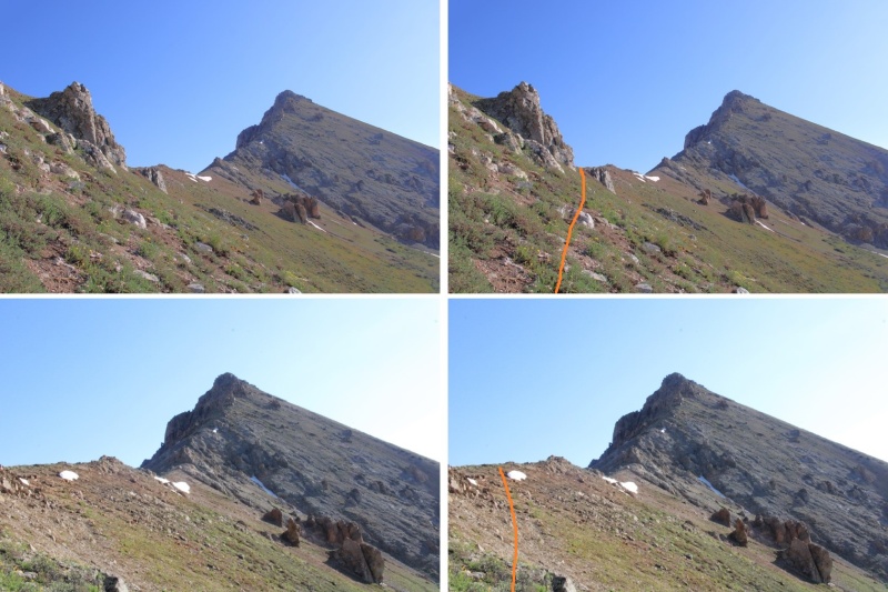
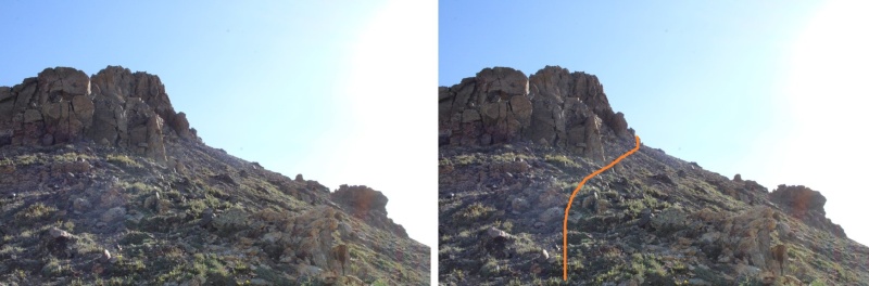
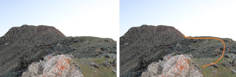
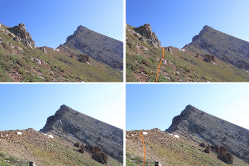
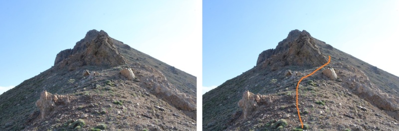
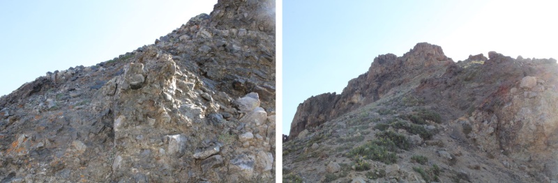
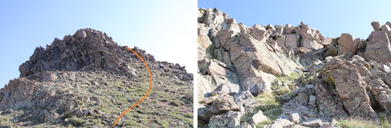
Middle Mountain was also easy class 3, with several false summits.
I went right here
Left here
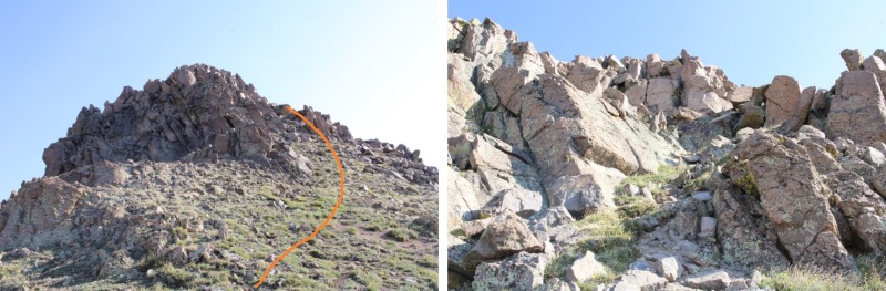
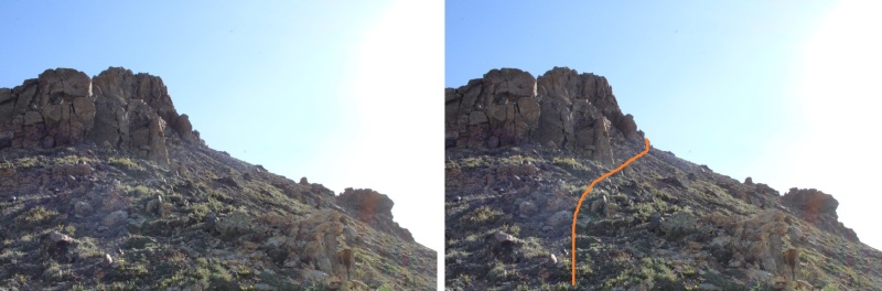
And then right again
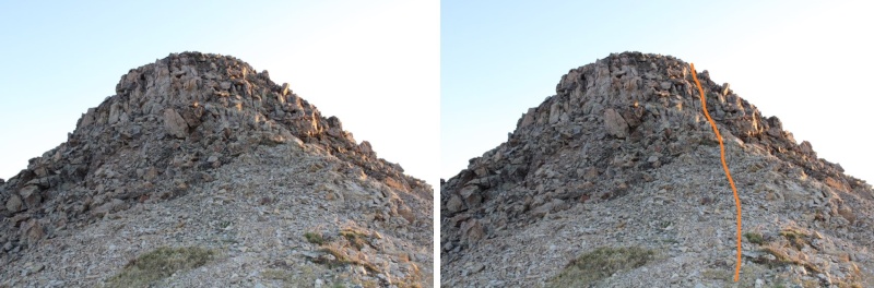
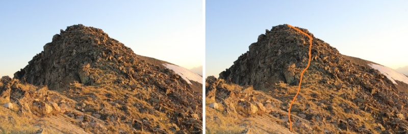
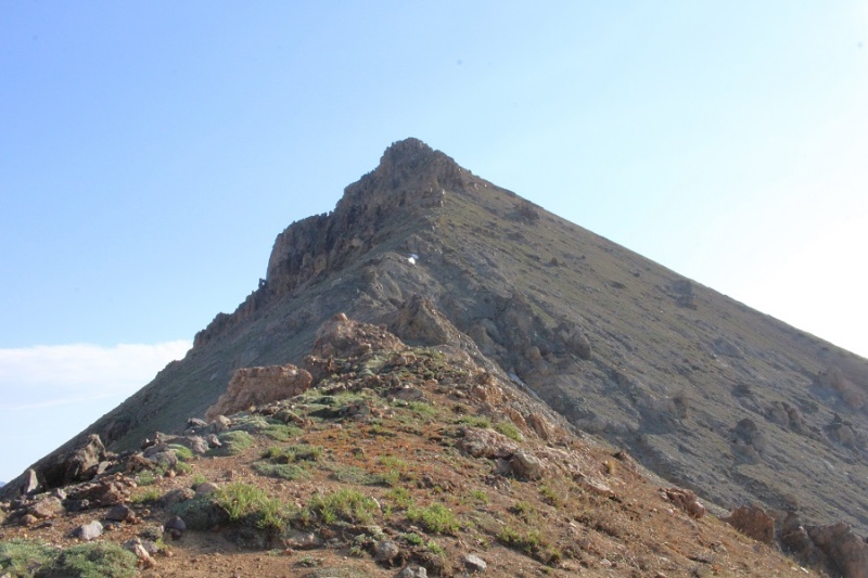
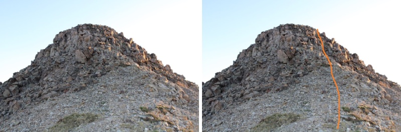
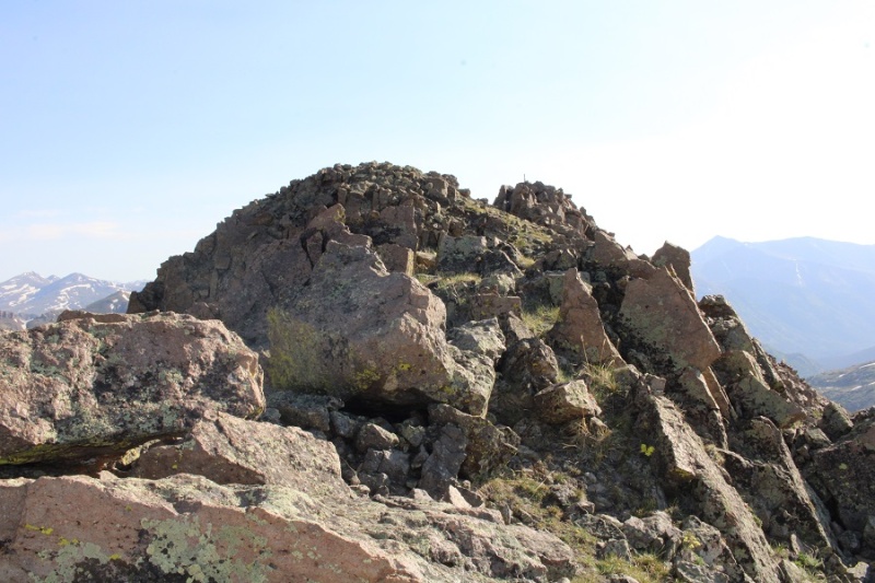
Now it was some easy scrambling over false summits to the true summit. I always stayed right (south)
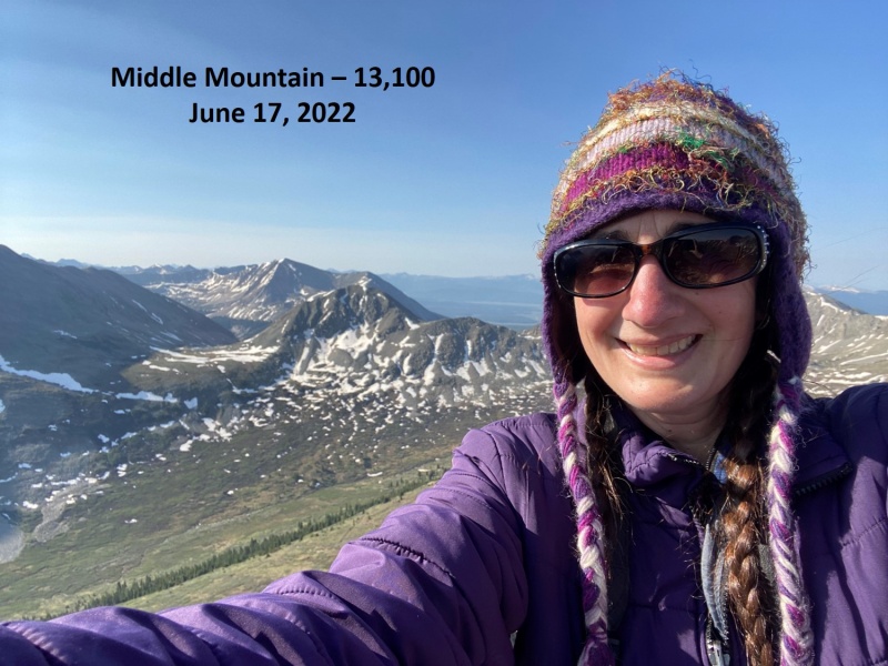
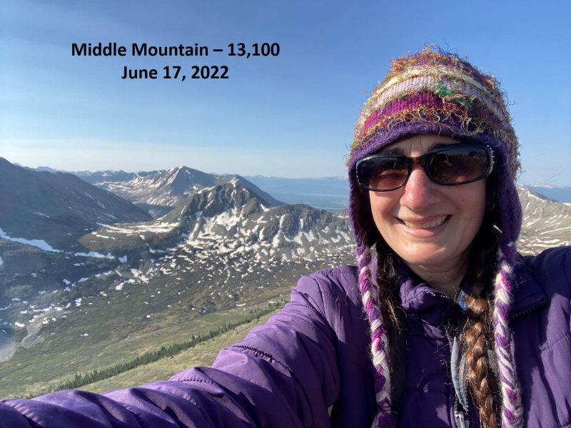
I summited Middle Mountain at 8:25am
Middle Mountain:
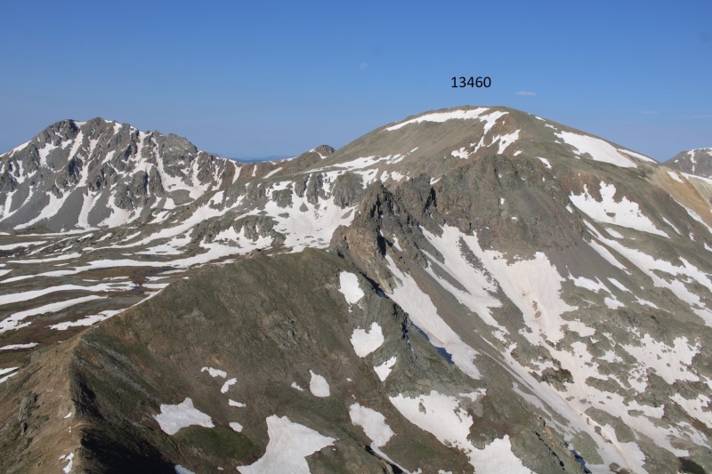
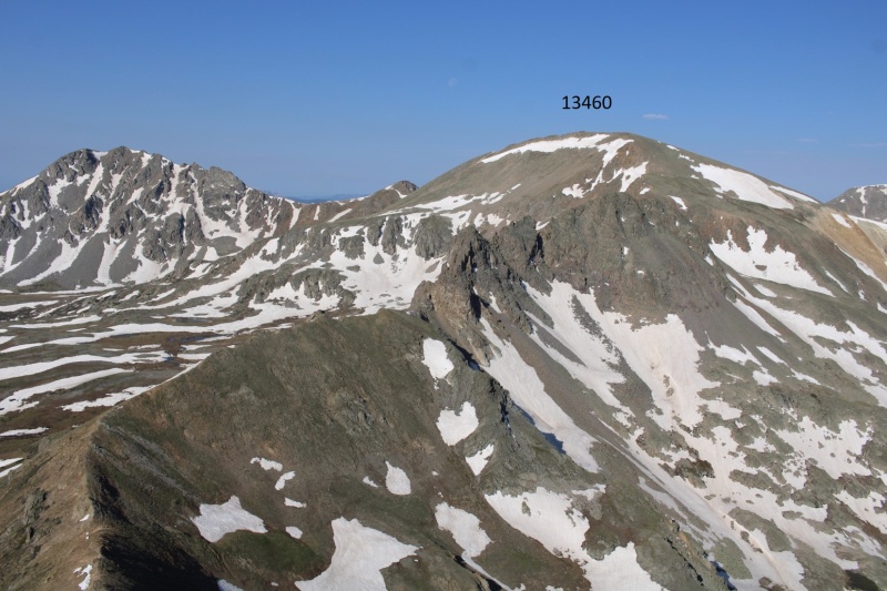
Here’s looking back at 13460
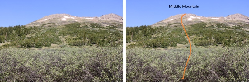
Now to head back to the trail. This was easy, and choose your own adventure. I just looked and headed south, doing my best to avoid the willows (etc.).
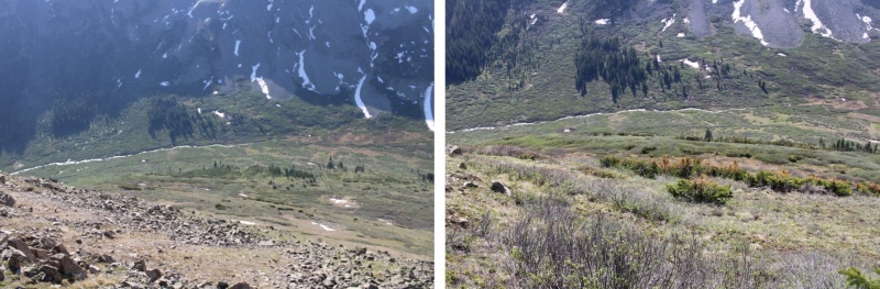
From the lower basin, here’s looking at the route I took down from Middle Mountain
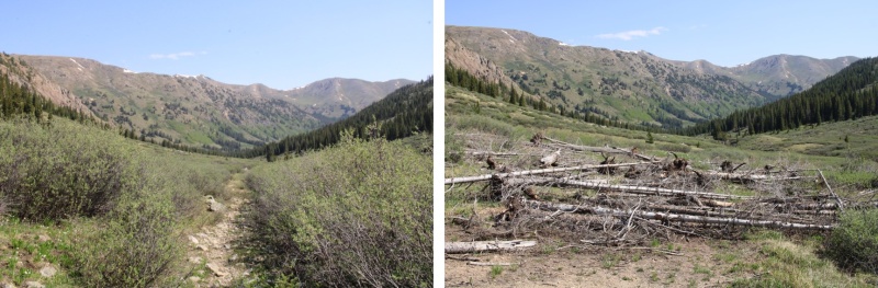
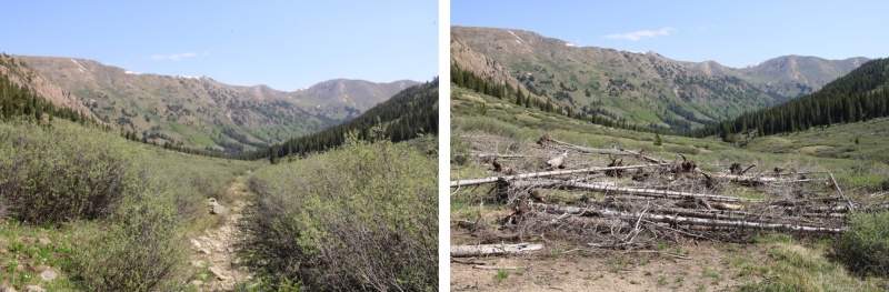
Now back on the trail, I followed it back to my truck
I made it back to my truck at 10:15am, making this a 9.37 mile hike with 3246’ of elevation gain in 6 hours, 45 min.
On to the next trailhead!
Thumbnails for uploaded photos (click to open slideshow):
Comments or Questions
Caution: The information contained in this report may not be accurate and should not be the only resource used in preparation for your climb. Failure to have the necessary experience, physical conditioning, supplies or equipment can result in injury or death. 14ers.com and the author(s) of this report provide no warranties, either express or implied, that the information provided is accurate or reliable. By using the information provided, you agree to indemnify and hold harmless 14ers.com and the report author(s) with respect to any claims and demands against them, including any attorney fees and expenses. Please read the 14ers.com Safety and Disclaimer pages for more information.
Copyright: Route information, text, risk factors, maps, GPX files, charts, photos, 14ers.com-created map imagery, flythroughs, and other content provided in this route description are copyrighted by 14ers.com and may not be copied, reproduced, republished, distributed, modified, or used to create derivative works without prior written permission.
Please respect private property: 14ers.com supports the rights of private landowners to determine how and by whom their land will be used. In Colorado, it is your responsibility to determine if land is private and to obtain the appropriate permission before entering the property.