| Report Type | Full |
| Peak(s) |
"Dorothy Peak" - 13,018 feet |
| Date Posted | 06/14/2022 |
| Modified | 08/11/2024 |
| Date Climbed | 06/12/2022 |
| Author | JQDivide |
| We Are Obviously Not in Kansas |
|---|
|
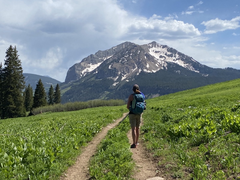
Dorothy 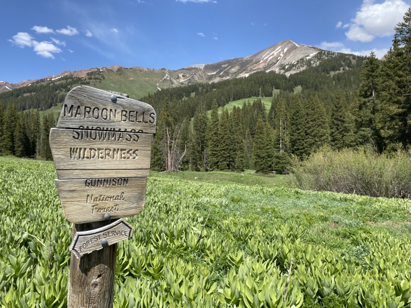
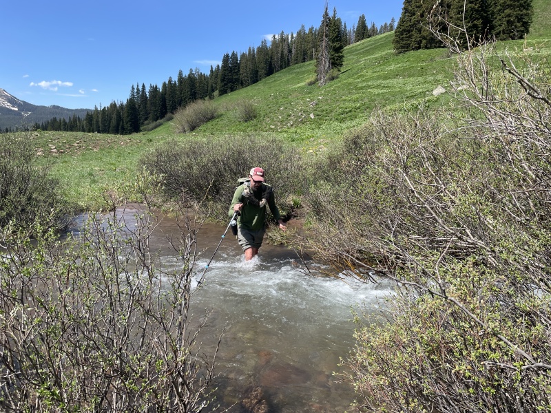
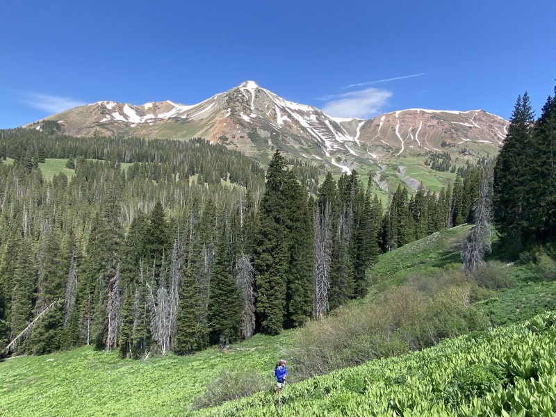
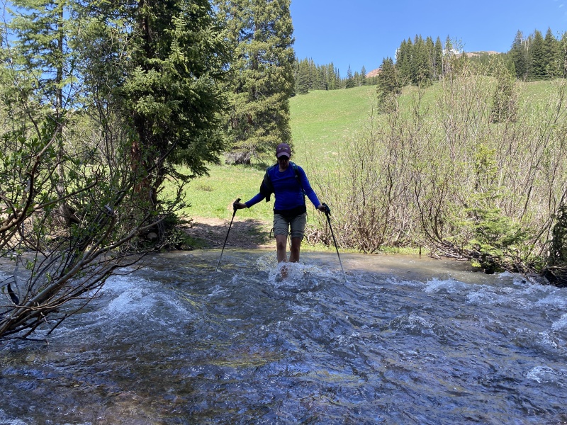
After backpacking into Oh Be Joyful on Fri/Sat, we were going to have a mild hike on Sunday and go for the short route up 12er Mt. Axtell. But a tree in the road prevented us from driving to the trailhead. What to do now? We were tired from backpacking in the heat. We parked on the road knowing we were not going to drive through the creek, as run off was high. We started about 9:40, near 9,700. We followed the road to the creek crossing, then took a trail up and over a bump to the left for an easy creek crossing. 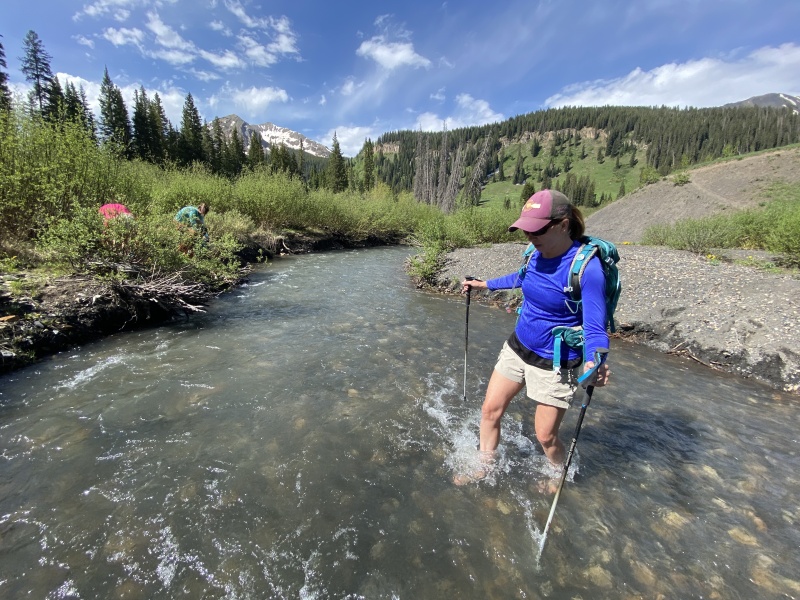
According to some route info we found, the southwest ridge up Dorothy goes, but it is rocky and not technical. Head toward that route before the gate. The northwest ridge is easy, just a really long and steep slope to get there. We decided to go easy. About 1.6 miles in, near 10,200 we crossed the creek again, and headed up the slope. The TinMan would have rusted with all the water crossings. It was pretty much a direct route, obvious to the naked eye. 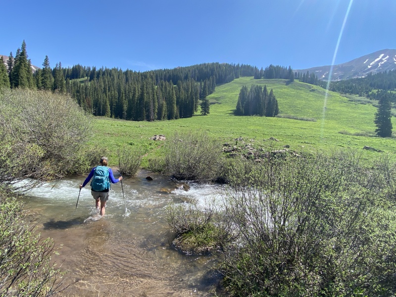
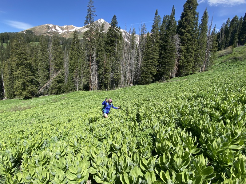
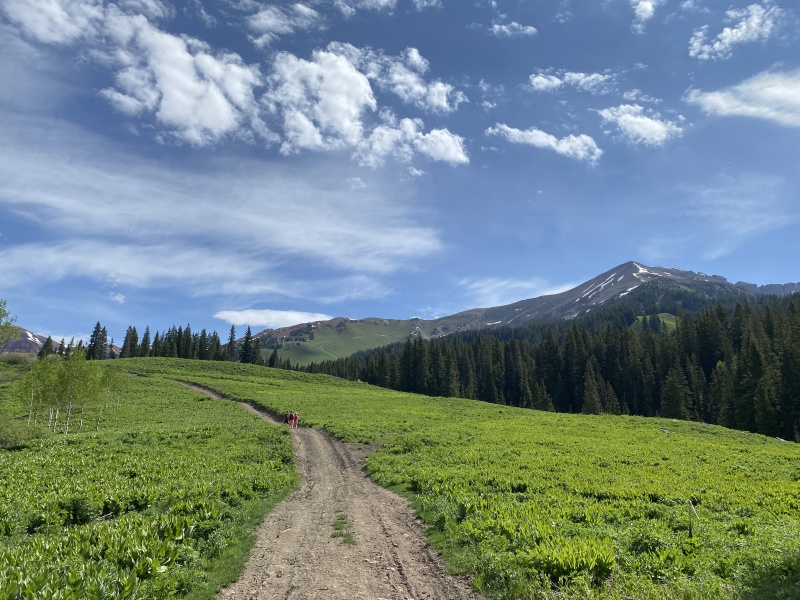
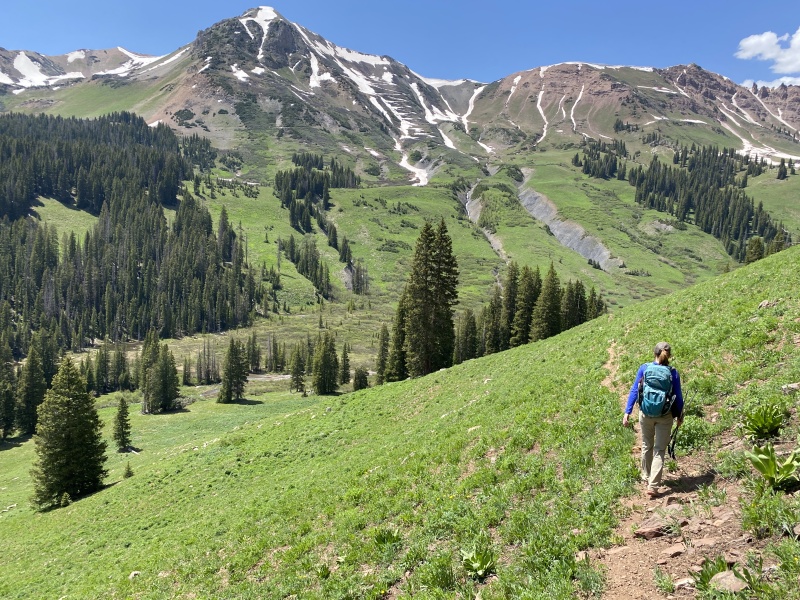
The slope was steep enough, I made my own switch backs to make it easier. But once I got to 10,700 I found a trail. Duh, it was on the GAIA, but I never looked. We just followed a vague route description and our own judgement. We followed the trail until it disappeared near 10,800 at a fast-flowing narrow creek. Instead of crossing, we just turned left, uphill, to what might be called the upper basin of this area. 
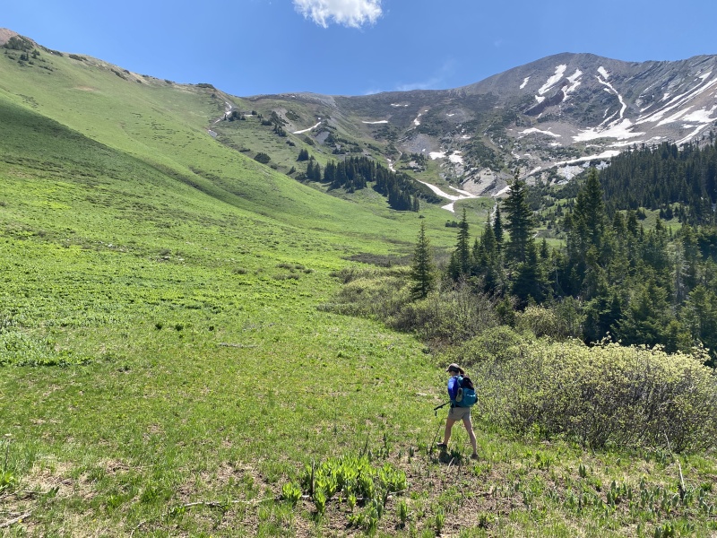
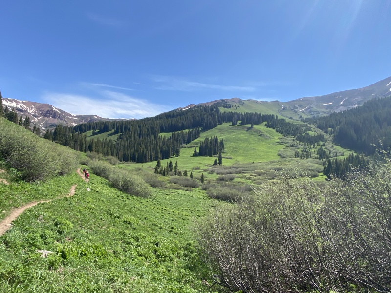
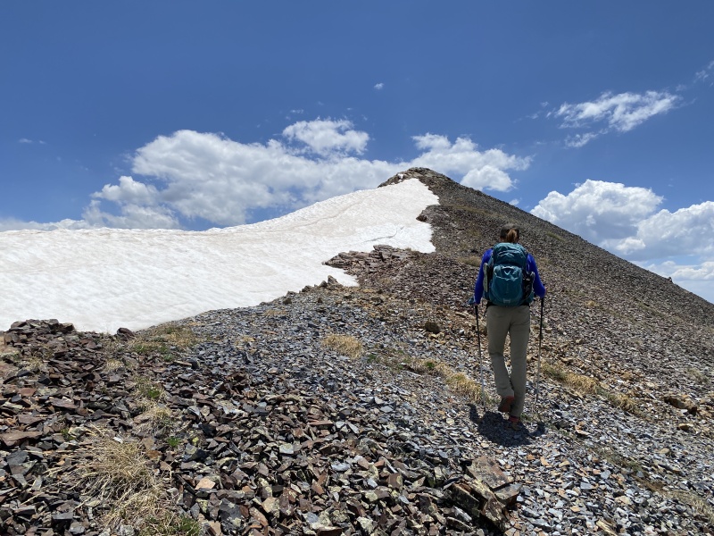
Again, very green with all kinds of plants, grasses and soon to be flowers. Up we went. It was a slow go. But very easy and stable terrain. But not a yellow-bricked road. Would be muddy if wet. More self-directed switch backs. 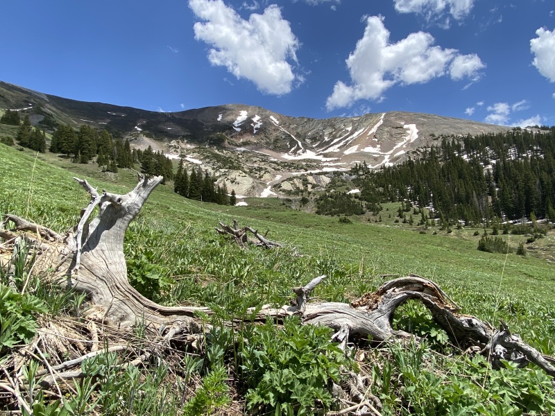
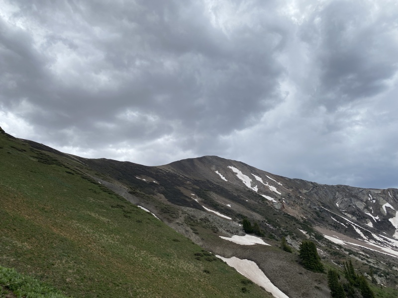
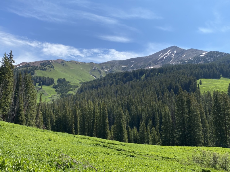
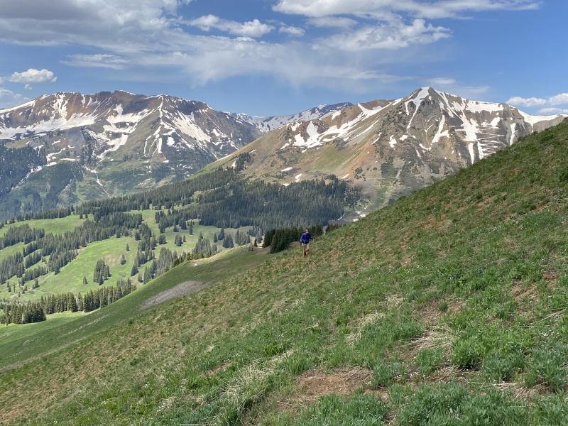
But what clouds did build, moved off by the time we reached the ridge near 12,000. That was 1,800 feet of steep dirt and vegetation. No flying monkeys to help get us up. 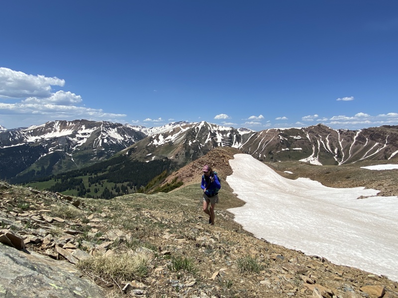
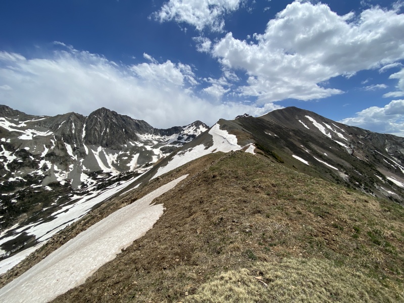
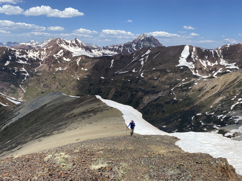
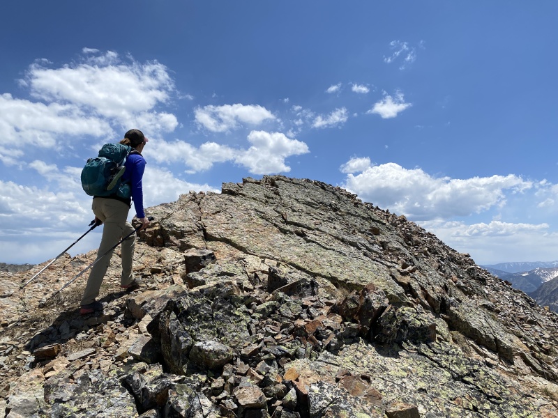
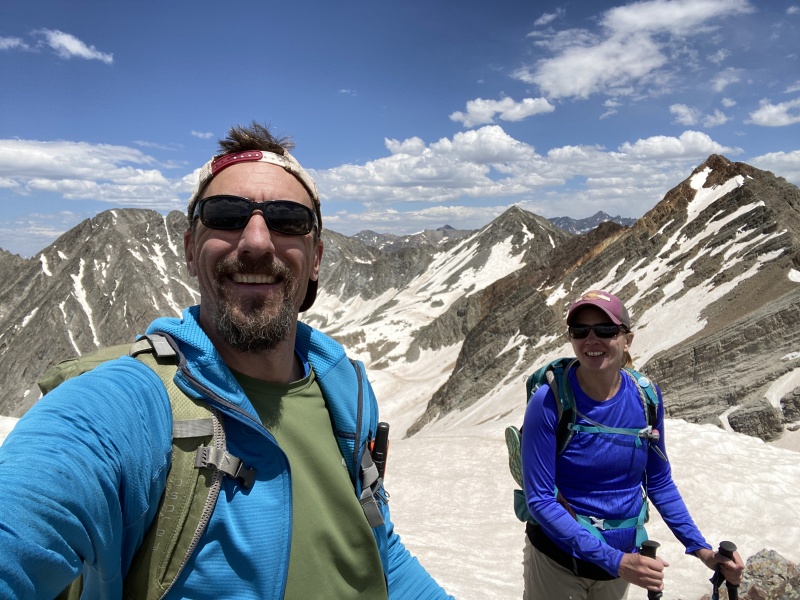
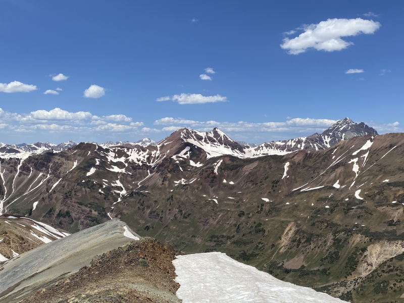
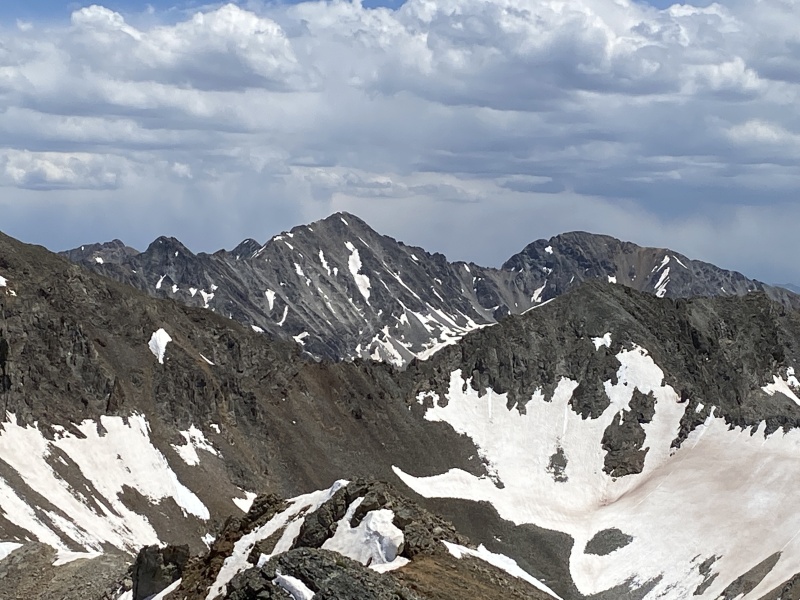
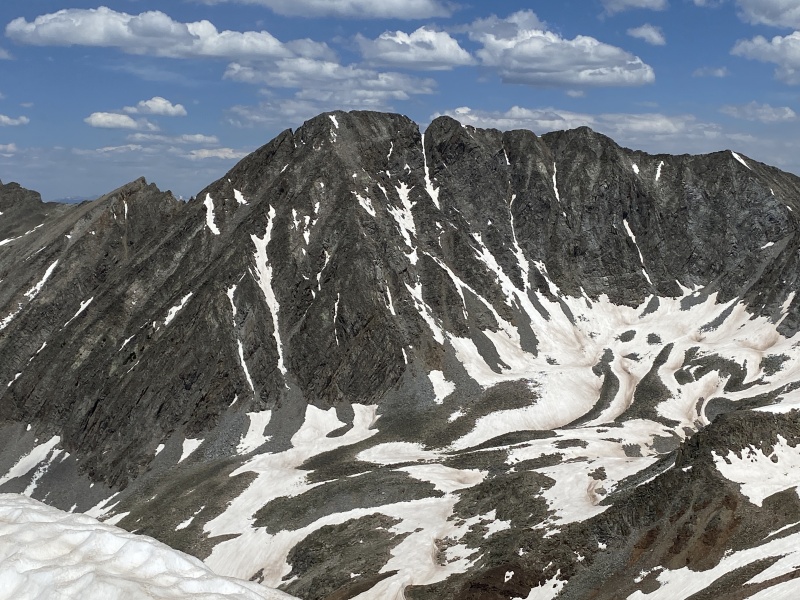
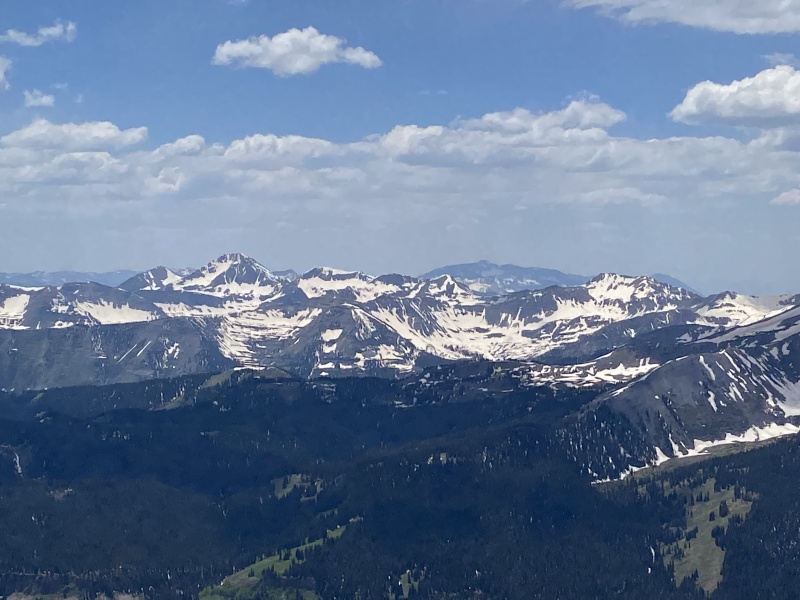
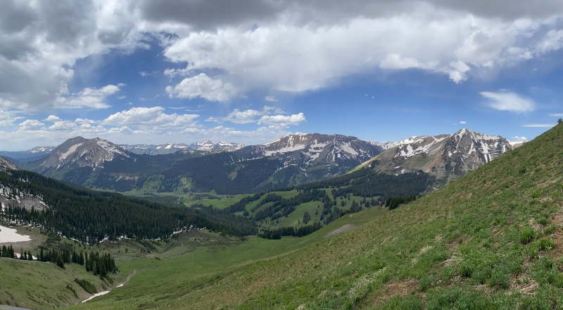
Dorothy, you are definitely not in Kansas. And, supposedly not a real 13er. But wow, AMAZING VIEWS of the Elk Range. 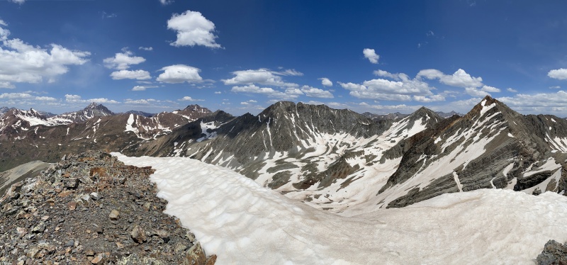
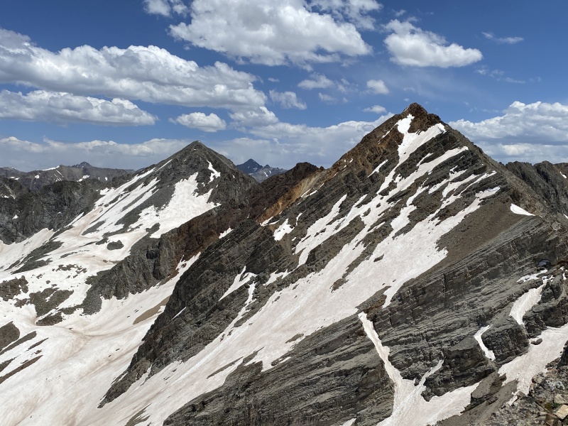
Looking over at Precarious made me nervous. The gully most people climb had obvious rock fall. Ugh. That is just an accident waiting to happen. But it is on our Crested Butte List. Snow climb? Ridge Run from Copper? 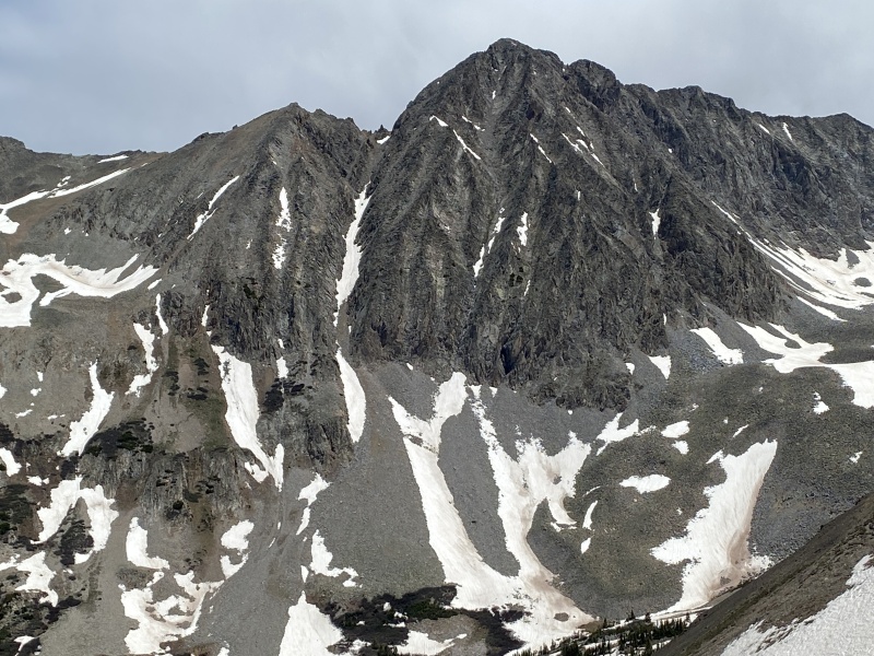
Going down was easier and faster than melting a witch with water. We dropped off the ridge at the dip. We would have been back at the car in less than two hours, but we followed the trail down from 10,800 and it put us behind a few extra creek crossings. Taking off your shoes and putting them back on, takes time. Or just looking for a way to cross dry can take extra minutes. 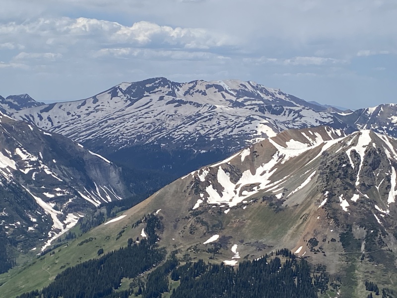
No witches were harmed on this hike. This was peak #26 on our Crested Butte peak list we are working on. Thumbnails for uploaded photos (click to open slideshow): ")
")
")
")
")
")
")
")
")
")
")
")
")
")
")
")
")
")
")
")
")
")
")
")
")
")
")
")
")
")
")
")
")
|
| Comments or Questions |
|---|
|
|
Caution: The information contained in this report may not be accurate and should not be the only resource used in preparation for your climb. Failure to have the necessary experience, physical conditioning, supplies or equipment can result in injury or death. 14ers.com and the author(s) of this report provide no warranties, either express or implied, that the information provided is accurate or reliable. By using the information provided, you agree to indemnify and hold harmless 14ers.com and the report author(s) with respect to any claims and demands against them, including any attorney fees and expenses. Please read the 14ers.com Safety and Disclaimer pages for more information.
Please respect private property: 14ers.com supports the rights of private landowners to determine how and by whom their land will be used. In Colorado, it is your responsibility to determine if land is private and to obtain the appropriate permission before entering the property.

