| Report Type | Full |
| Peak(s) |
Whale Peak - 13,080 feet |
| Date Posted | 06/06/2022 |
| Modified | 06/08/2022 |
| Date Climbed | 06/05/2022 |
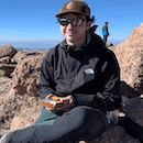
| Author | constipated_pete |
| Second Chance at Whales Tail |
|---|
|
Date: June 5, 2022 Peaks: Whale Peak Route: Whale’s Tail Couloir Trailhead: Gibson Lake TH Mileage: ~6 miles Elevation Gain: 2,700' Time: 6 hrs Partner: Evan June 6, 2021 – I had slid into 123qtb ‘s DMs and wrangled him into taking me up my first couloir. After some spitballing we settled on Whale’s Tail Couloir on 13,078’ Whale Peak. We met in Bailey and camped at the trailhead, waking up at some ungodly hour for our attempt. It wasn’t early enough -- ¼ of the way up we decided that the snow was heating up too fast and decided to bail. I had been hoping to get a trip report and some dope instagram pics out of the day, but a failed attempt and some camera problems took me down on both counts. 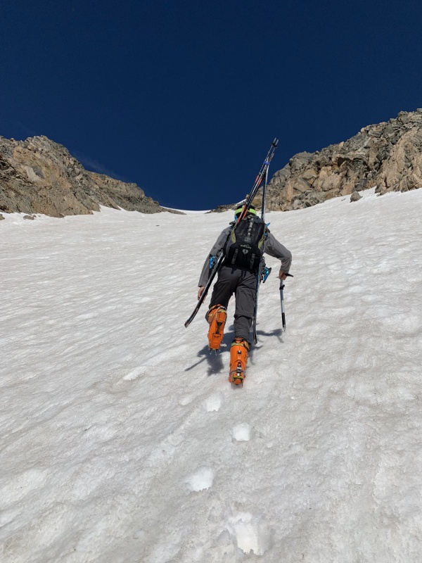
Not to be dissuaded, I decided to come back earlier next season and give it another go. At the time I was sure that spring of 2022 would see me skiing multiple 14ers and ticking off lots of couloirs that would make Whale’s Tail look like cake. … Cut to spring 2022. I had to spend most of my winter studying for my second (and final) attempt to pass my grad school’s qualifying exam. It’s hard to focus on important things – mountains – when CU Physics is threatening to kick you out, but I tried my best. Dragontail Couloir was high on my list, but avalanche conditions, poor timing, and poor weather left me 0/3 on the line. I wanted to ski a Sawatch 14er, yet Mount Columbia ended in a demoralizing early-morning turn around. A failed attempt on Peak 1 left me wondering if I should forget about ski mountaineering and just wait for summer. 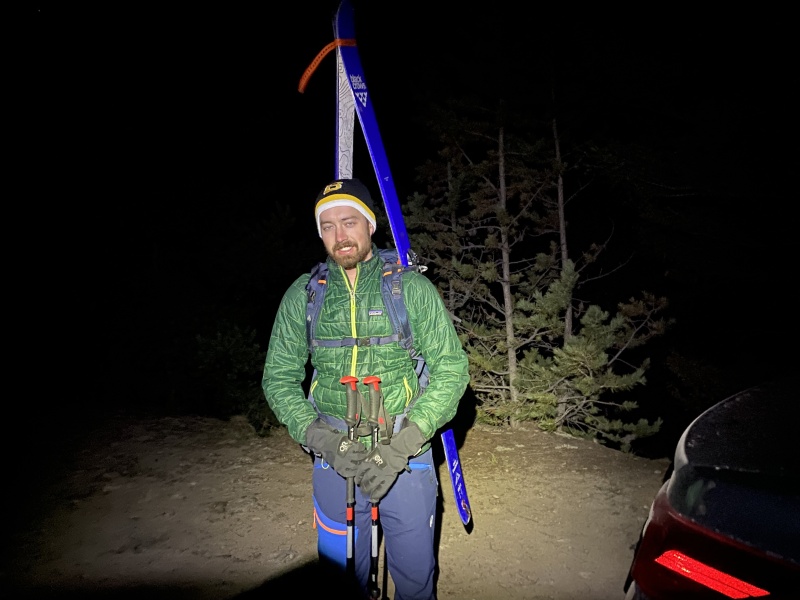
Some late-spring upslope storms refreshed the eastern part of the state after I passed my quals, and I took that as a sign to get back out there. I finally caught a win when Evan and I skied Boudoir Couloir on Horseshoe Mountain in early May. The next weekend we skied Mt Toll with 123qtb -- things were looking up. Conditions were popping off in the Front Range, so Evan and I decided to keep it close to home and give Whale’s Tail a shot. Almost exactly a year later, I was back up at the Gibson Lake trailhead. We didn’t start hiking until 6:30 AM, nearly two hours later than I had started a year ago. Evan’s jeep meant we were starting at the trailhead proper rather than Hall Valley Campground a mile down the road but starting after dawn was making me nervous -- I had already missed on three lines this spring because of timing. I told Evan I didn’t think we would be fast enough to climb and ski the couloir before the spring sun turned it to mashed potatoes. 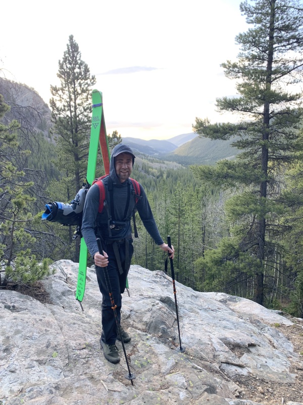
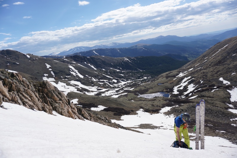
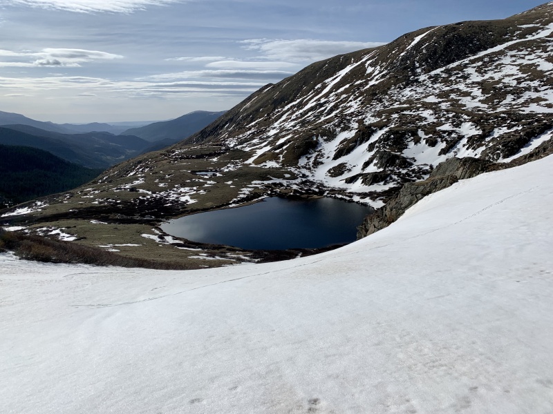
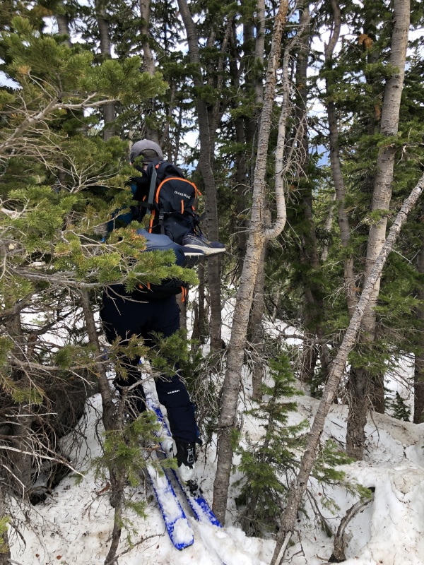
The trailhead up was looking dry, so we put on sneakers then A-framed our boots and skis and got hiking. It’s a lot of weight to carry uphill, and it had killed me on Mt Columbia and Peak 1. But it wasn’t hitting me so hard this morning and after cowboying our way around some downed trees, we found ourselves in the Gibson Lake basin an hour later. The line was definitely in, and the basin was looking good. Was that some stoke I felt creeping in? 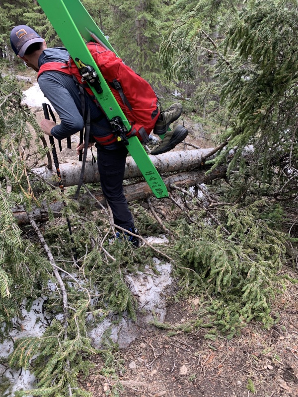
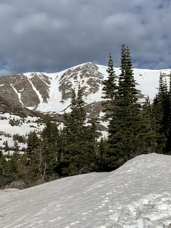
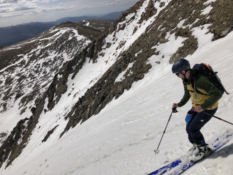
We switched to ski boots and skins and quickly passed Gibson Lake, arriving at the base of the couloir before 8:30. As we transitioned to crampons at the bottom of the line, a marmot ran across the couloir almost halfway up. Little bastard snaked our line! 
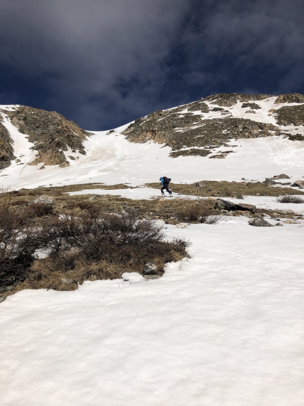
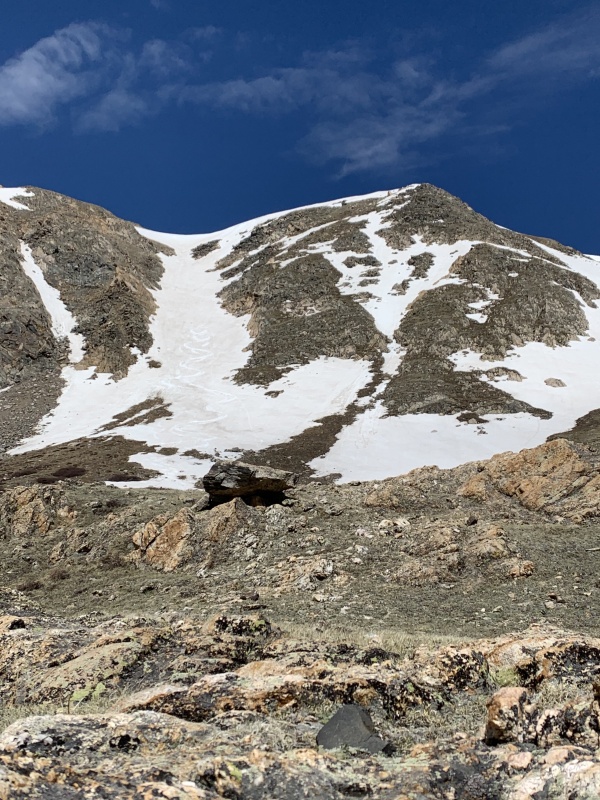
The east-facing line gets sun early and the snow was starting to heat up, but it felt firm and we thought we could move quickly up the couloir. I started booting up the couloir feeling good. 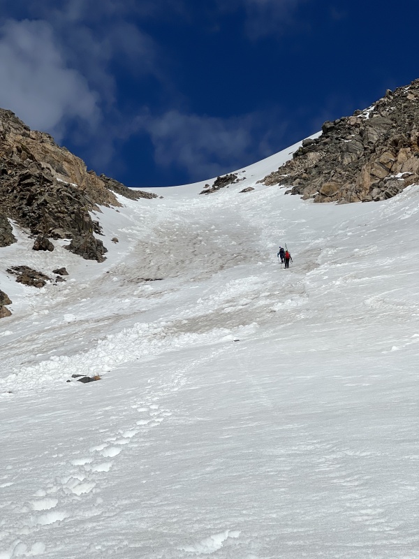
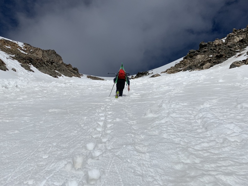
Evan took over putting in the boot pack halfway up as we climbed around old avalanche debris. We were making better time than expected and some clouds had moved in, helping keep the snow cool. A year ago, I was gripped and felt unsteady climbing snow. Today we were easily cruising up the couloir. As I took over booting again near the top, I realized we were going to make it. I had been surprised when I topped out on Horseshoe and was shocked that I was able to make it up Mt Toll. This line was no different. I hadn’t been feeling the stoke the night before and at the trailhead I had doubted that we would climb fast enough to summit. I had been feeling strong all day but my god, climbing the last 50 feet of the couloir hurt. I put my head down and soon topped out to beautiful views of the Tenmile Range. 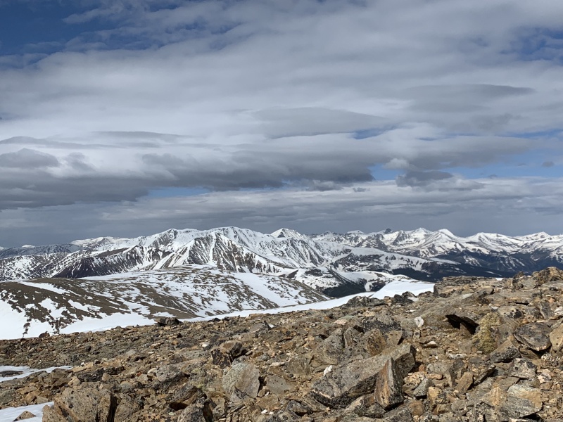
The splitboarders we saw at the trailhead were blazing up the booter we had put in, and Evan and I decided that we could tag the summit and transition quickly enough to beat the warming snow. We left our skis at the saddle and walked north 100’ to the summit. 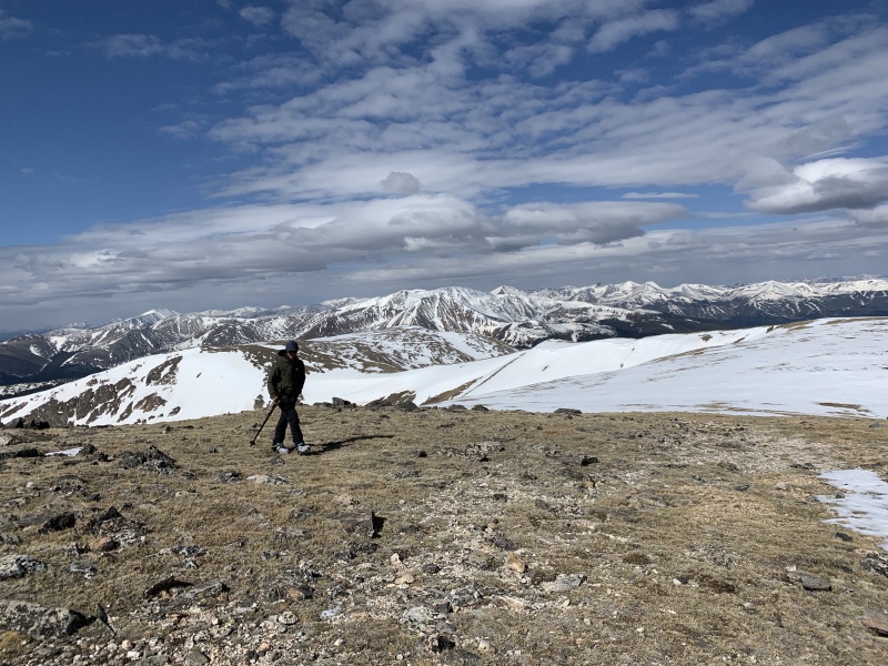

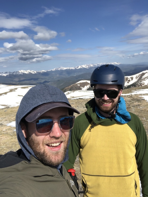
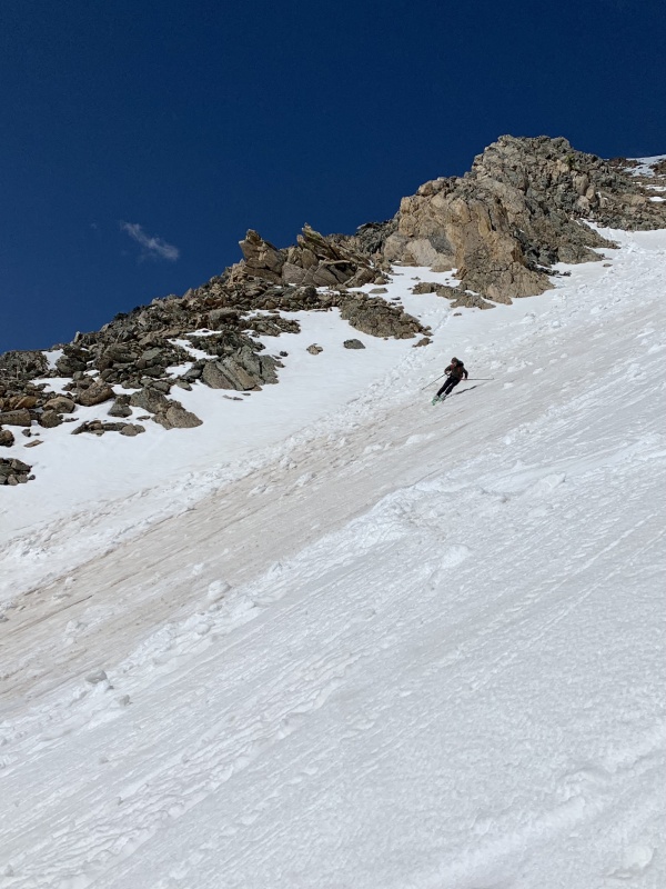
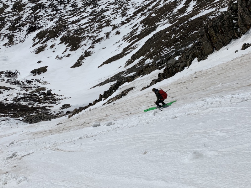
The snowboarders topped out as we transitioned to downhill mode. We talked with them about the line as we clicked into our skis, then Evan and I dropped in at 9:30. The drop in is the steepest part of the line and pushes 40 degrees, but it was pretty mellow and it got mellower as we got lower. We skied great corn at the top and some mank in the middle – awesome turns all the way down. 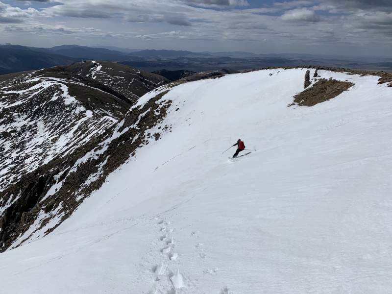
We took a snack break at the bottom and watched the snowboarders ride Whale’s Tail. They rode down to our snack rock and after sharing some celebratory twizzlers with them we started the slog down. 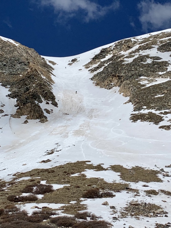
There was some bushwhacking in the basin the avoid taking off our skis and some postholing through snow on the trail further down, but an hour and a half later we were back at the car. Iced coffee and chex mix got us ready for the short trip to back to Boulder. Stoke was once again through the roof and we started debating what line to attempt next -- it’s June but there’s still time to squeeze a little more skiing in. You gotta love Colorado! Thumbnails for uploaded photos (click to open slideshow): ")
")
")
")
")
")
")
")
")
")
")
")
")
")
")
")
")
")
")
")
")
")
")
")
")
|
| Comments or Questions | |||||||||
|---|---|---|---|---|---|---|---|---|---|
|
Caution: The information contained in this report may not be accurate and should not be the only resource used in preparation for your climb. Failure to have the necessary experience, physical conditioning, supplies or equipment can result in injury or death. 14ers.com and the author(s) of this report provide no warranties, either express or implied, that the information provided is accurate or reliable. By using the information provided, you agree to indemnify and hold harmless 14ers.com and the report author(s) with respect to any claims and demands against them, including any attorney fees and expenses. Please read the 14ers.com Safety and Disclaimer pages for more information.
Please respect private property: 14ers.com supports the rights of private landowners to determine how and by whom their land will be used. In Colorado, it is your responsibility to determine if land is private and to obtain the appropriate permission before entering the property.