Download Agreement, Release, and Acknowledgement of Risk:
You (the person requesting this file download) fully understand mountain climbing ("Activity") involves risks and dangers of serious bodily injury, including permanent disability, paralysis, and death ("Risks") and you fully accept and assume all such risks and all responsibility for losses, costs, and damages you incur as a result of your participation in this Activity.
You acknowledge that information in the file you have chosen to download may not be accurate and may contain errors. You agree to assume all risks when using this information and agree to release and discharge 14ers.com, 14ers Inc. and the author(s) of such information (collectively, the "Released Parties").
You hereby discharge the Released Parties from all damages, actions, claims and liabilities of any nature, specifically including, but not limited to, damages, actions, claims and liabilities arising from or related to the negligence of the Released Parties. You further agree to indemnify, hold harmless and defend 14ers.com, 14ers Inc. and each of the other Released Parties from and against any loss, damage, liability and expense, including costs and attorney fees, incurred by 14ers.com, 14ers Inc. or any of the other Released Parties as a result of you using information provided on the 14ers.com or 14ers Inc. websites.
You have read this agreement, fully understand its terms and intend it to be a complete and unconditional release of all liability to the greatest extent allowed by law and agree that if any portion of this agreement is held to be invalid the balance, notwithstanding, shall continue in full force and effect.
By clicking "OK" you agree to these terms. If you DO NOT agree, click "Cancel"...
Or that's what I was telling myself when thinking about going for a peak in early June. The peaks in early June are typically snow filled and we had gotten a Memorial Day dumping of snow in town but prior to that it had been awfully hot and dry so I was thinking there was a chance for things to go either way. Sometimes any excuse to get away is a good excuse.
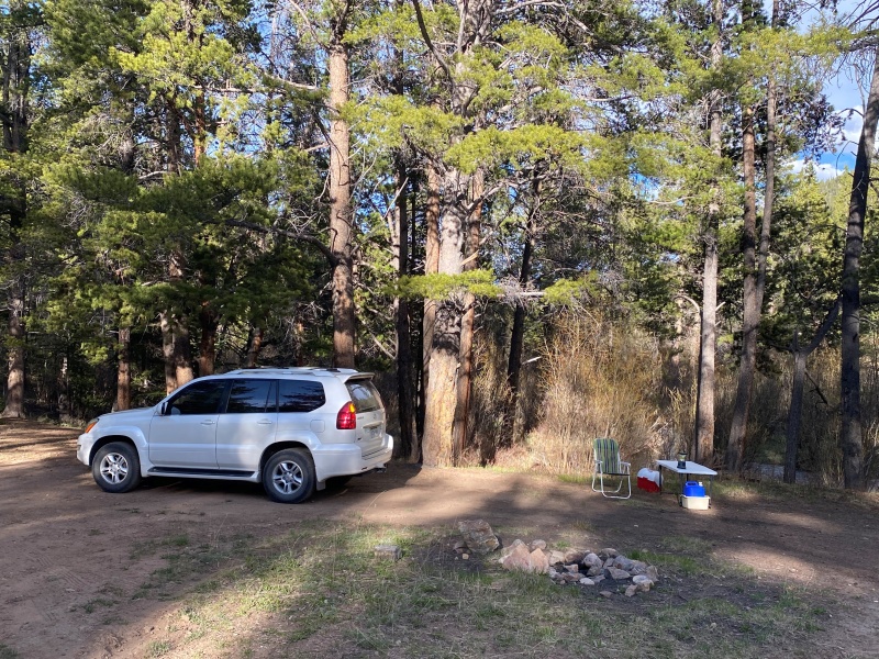
Headed out after work on Friday to reach the Halfmoon Creek TH. One nice thing about going for something potentially too early in the season? There's not many other people you have to share the accommodations with.
Setting up camp for the next 2 nights.I'm not complaining but where is everybody?!?
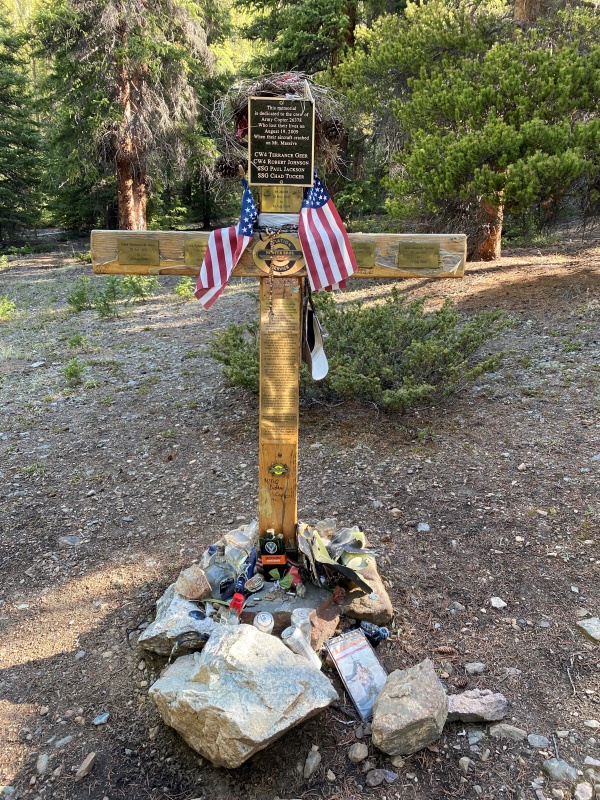
After a decent night's sleep I got started on a blue-bird morning. Passing the Mt Massive memorial and tributes.
Rest in Peace guys.
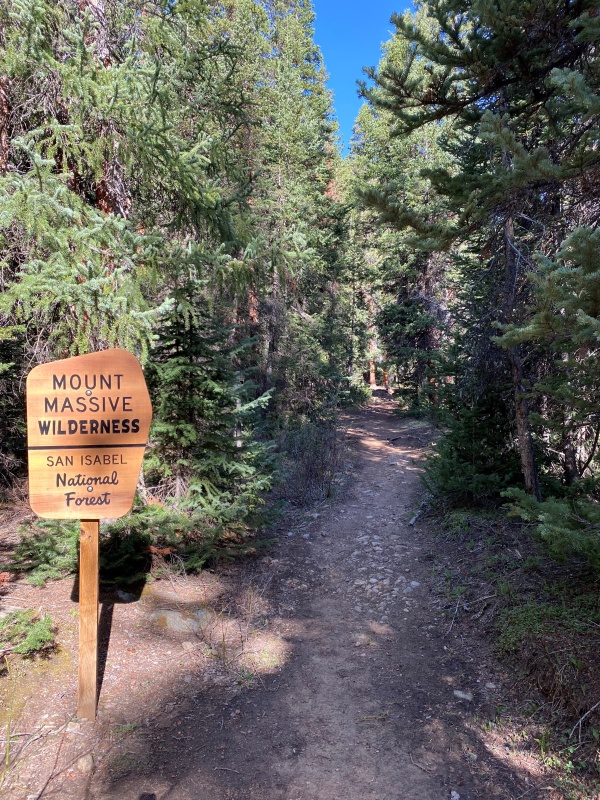
Not long after you come to a Mt Massive Wilderness sign.
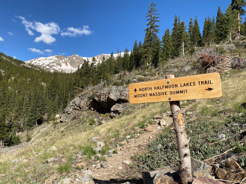
At around 1.25 miles in and at 11,200' you come to the trail junction. Turning right takes you to Mt Massive. If Oklahoma is your goal, continue straight on the North Halfmoon Lakes trail.
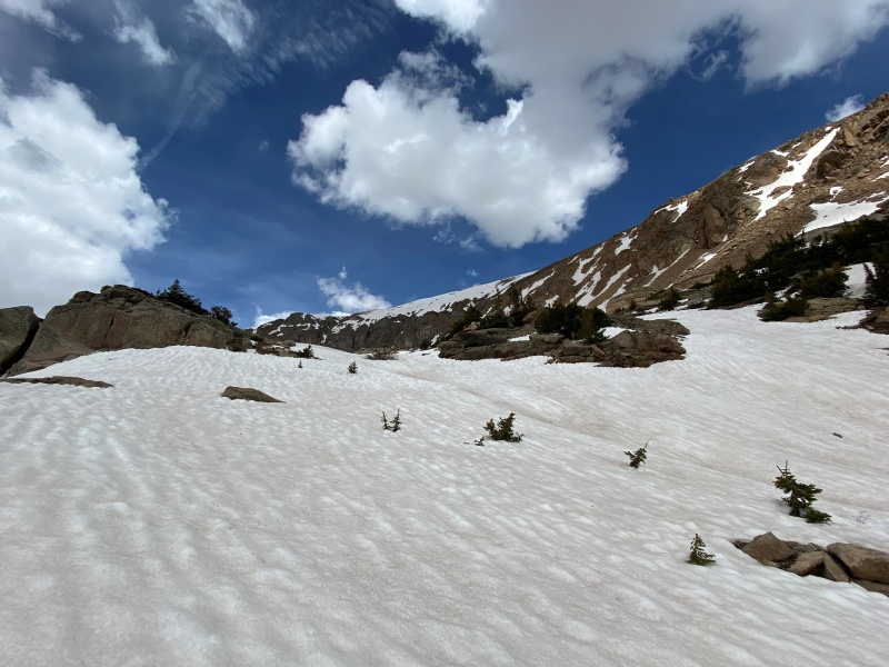
I won't go into the off-trail route finding needed to get to Oklahoma's summit. Bill's route description for the off-trail portion in the forest is spot-on and certainly better than I could do. However, once you're out of the forest you'll enter a small basin at around 12,400'. This was where things started to get interesting for me.
The basin was pretty well loaded up with snow. Sometimes it would support my weight and sometimes I would posthole easily up to my knees.
The route up to the high basin around 12,400'. It was around this point I put on spikes.
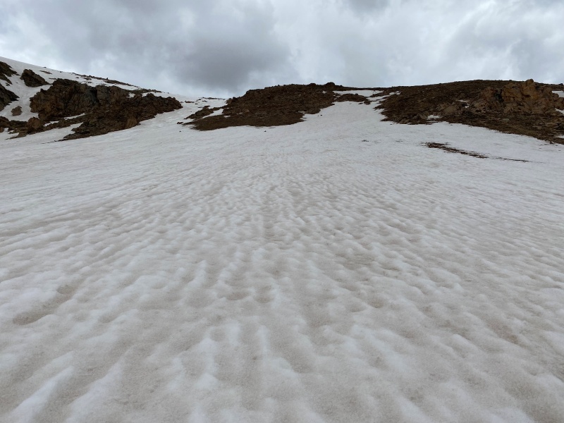
Around 12,700' you're at the bottom of a 400' semi-steep scree-rock-grass slope to gain the ridge. The spikes were nice to have and it was here that I pulled out the ice ax to help me up and also to help me if anything (including me) started to go south. Here's a look up the 400' climb.
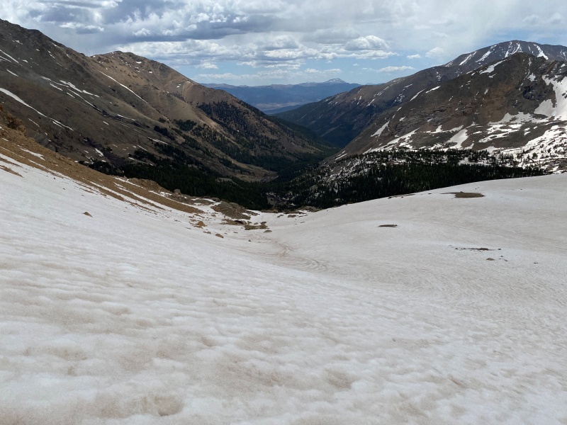
Below is a look back down from whence I came.
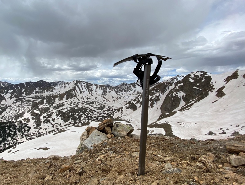
The spikes were doing ok in the snow. It was tiring but I got to the ridge. I was hoping against hope that the remainder of the route would be a little less snow packed but that didn't turn out to be the case. Getting to the top of the ridge just showed me more of same - a snow climb with moderate angle in micro-spikes with an ice ax. Did I mention at this point I would sometimes posthole up to my thigh? Hmmm... with the sky clouding up a bit and the equipment I had I started to question if I should just power on or leave the peak for another time.
I realized I was more relieved at the idea of descending than I was interested in making the summit so with that I had a quick bite to eat, took in the landscape and started down. Still, the ridgeline did afford me a nice shot of the ax.
Product placement anyone?
The descent was relatively uneventful. I even found my way back to the exact spot at one of the stream crossings and maybe 50' away from the other stream crossing! But as I was finishing up I couldn't resist one look back.
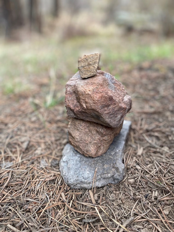
With little to do back at camp you start to get creative with the ol' iPhone.
I liked the reflection of the sunset in the top right corner.
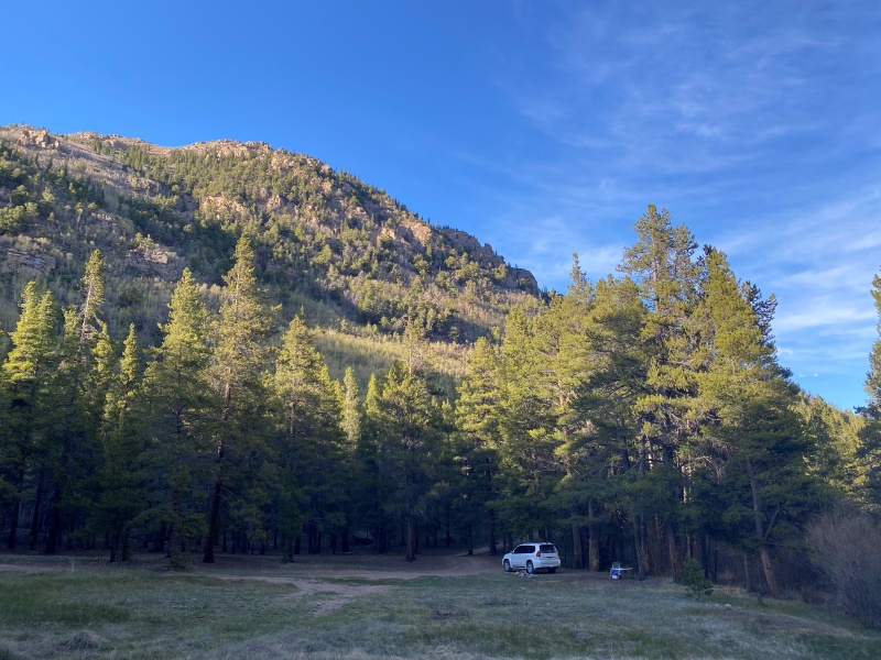
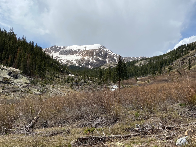
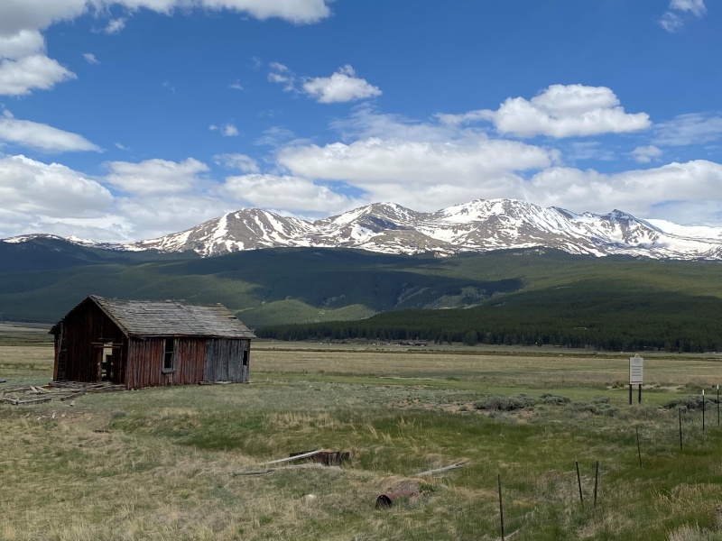
So, Oklahoma we've come to a draw. I don't mind though as it was so nice to get into the back country for the first time this season. One last parting shot from the drive home.
Good ol' Colorado.
Thumbnails for uploaded photos (click to open slideshow):
Yes - tons of snow above 12,000'. I didn't mention in the report but I probably got ~13,400 and turned around. Still fun though.
I didn't drive all the way to the TH. I stopped and camped maybe 1/2 mile from the 110J turn-off. So it added a little time / distance to the hike but agreed, it gets rough past the 110J turn-off and I didn't want to push it.
Caution: The information contained in this report may not be accurate and should not be the only resource used in preparation for your climb. Failure to have the necessary experience, physical conditioning, supplies or equipment can result in injury or death. 14ers.com and the author(s) of this report provide no warranties, either express or implied, that the information provided is accurate or reliable. By using the information provided, you agree to indemnify and hold harmless 14ers.com and the report author(s) with respect to any claims and demands against them, including any attorney fees and expenses. Please read the 14ers.com Safety and Disclaimer pages for more information.
Please respect private property: 14ers.com supports the rights of private landowners to determine how and by whom their land will be used. In Colorado, it is your responsibility to determine if land is private and to obtain the appropriate permission before entering the property.


")
")
")
")
")
")
")
")
")
")
")
")
")
")