| Report Type | Full |
| Peak(s) |
"Peak C" - 13,228 feet |
| Date Posted | 06/06/2022 |
| Modified | 06/07/2022 |
| Date Climbed | 06/04/2022 |
| Author | yaktoleft13 |
| Additional Members | Sherwin, handonbroward |
| (C)ze the Day |
|---|
|
Trailhead: gate closure before Piney River Ranch (I guess also called West Lost Lake trailhead?) Distance: 20 miles Gain: 5k Soundtrack for the report, because nothing beats early A7X: I have wanted to get into the Gores forever, but it seemed like something always got in the way. Big snow year 2019, trying to finish 14ers 2020, trying to finish Centennials 2021...there's always something. Part of it is that no Gore peak appears on any "highest x" list until you get all the way down to the tricents, but the elevation doesn't determine the worthiness of a mountain, as many of us have found. So for the fourth consecutive year, "get to the Gores" was on my to-do list. This year, however, I was determined to make it happen! Fortuitously, Sherwin (henceforce known as Chris), made a post a couple of weeks ago seeking partners for the SW couloir on Peak C. The picture he posted of the couloir perfectly splitting the face between C and C Prime was sublime; I had to check it out. I messaged him and we hatched a plan, and Brandon was keen to join as well. Plus, as Brandon and I have plans for ripsaw at some point in the future, this would be a good scouting mission to get eyes on the route. The 12:20 wakeup was a little harsh (and could have been delayed an hour easily). I met Brandon at the Evergreen park n ride and headed Vail-ward. One thing we discovered as we navigated the dirt roads above Vail: Google maps has not found its way to the Gores yet. It tried to take us to a completely different trailhead behind a locked gate that looked like it hadn't been accessed in years, so rather than ram it down, we stopped on the road opposite some campers who were impressively still raging at 3 AM and waited for Chris and his local knowledge to guide us to the right spot (theme of the hike). He did, and as it turns out, we were just a half mile or so short of where we needed to be, which was obvious if we'd just kept driving on the main road. We geared up, electing to leave snowshoes in the car (good choice!). I had brought trailrunners with the idea of using them on the road, then switching to mountaineering boots once the snow came. But the sight of some lingering snow on the side of the road on the drive in convinced me to leave them in the car, thinking we'd hit snow early (bad choice!). We took off from the parking area shortly before 3:30 and hit the road. We knew we weren't going to be able to drive all the way to the ranch, but we really didn't know how far above the ranch the road would be gated. A sign on the gate quickly let us know, saying that it was 10 miles round trip to the lake. Eh, signs can be wrong, right? Sadly, this one wasn't. I measured it at 4.2 to the ranch and probably another half mile to the lake, so it wasn't far off. We were adding a lot of extra miles to the day. Plus, the road to the ranch sports a net descent of 450 feet, which would have to be regained on the way out. One positive was the road was completely dry, so despite the trailrunners cozily sitting in the car, we made quick work of the road and found ourselves at the gate to Piney River Ranch. From there, we located the trail that goes up and to the left of the lake and the basin. The trail was also completely dry until a long way up. Had I brought the trailrunners, I could have easily worn them 8 or so miles before needing to switch to boots, but alas. The trail infuriatingly gains almost no elevation. For every switchback going up, there's a switchback going down, giving up elevation to avoid a series of cliffs on the north side of the valley. After seven or eight miles, the trail descends back to the creek, and we realized that despite hiking for 2 1/2 hours, we were below the elevation of our car. 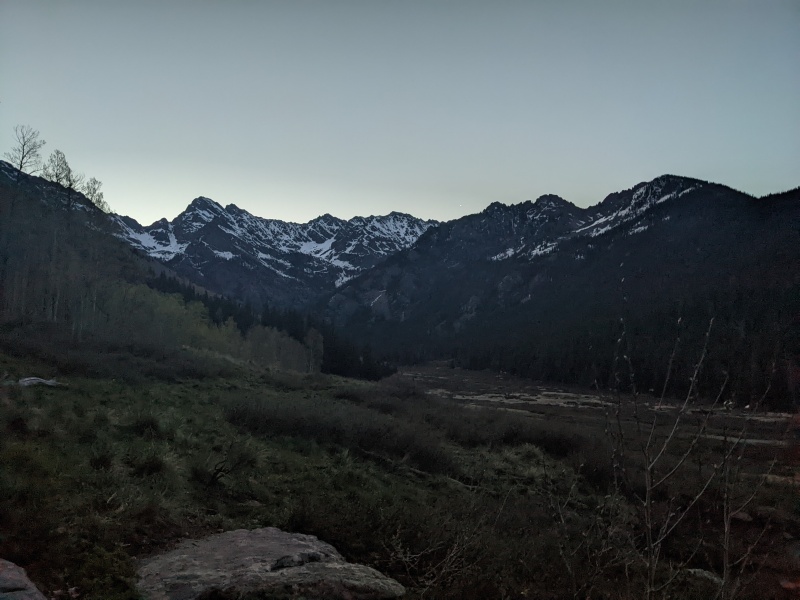
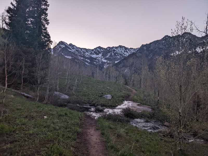
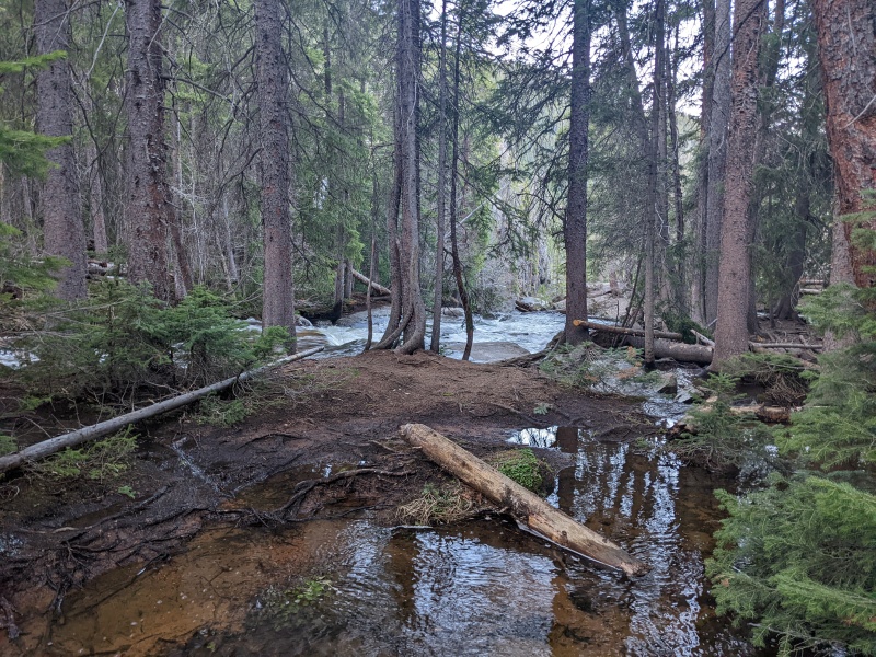
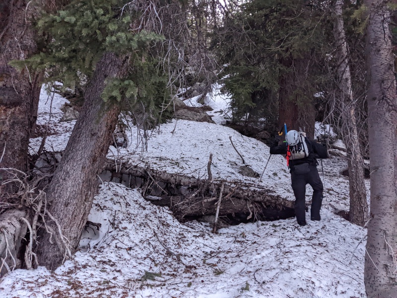
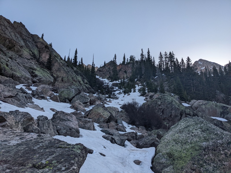
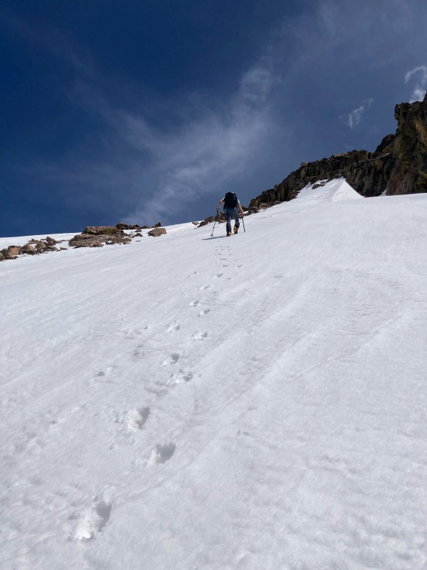
From here, we left the strong Piney River trail and instead located a faint climber's trail that leads up toward Kneeknocker Pass. The trail was obscured by small snow patches initially, but Chris's prior experience with the trail kept us on track. It was easier to follow than some of the obscure San Juan trails I've been on, and had there been no snow, would have been easy to follow. The trail was largely snow-free until about 10.5k, at which point we hit 200 vertical of consistent snow pockets. Above that, we found more dry trail until we crested the slope and reached the upper basin. 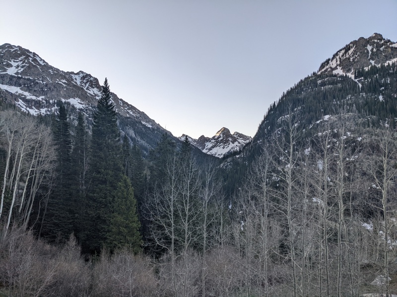
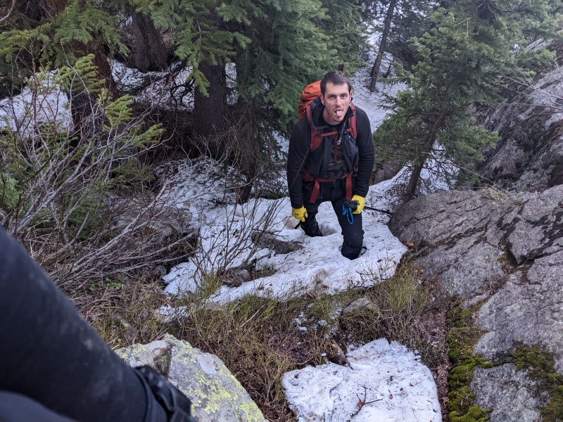
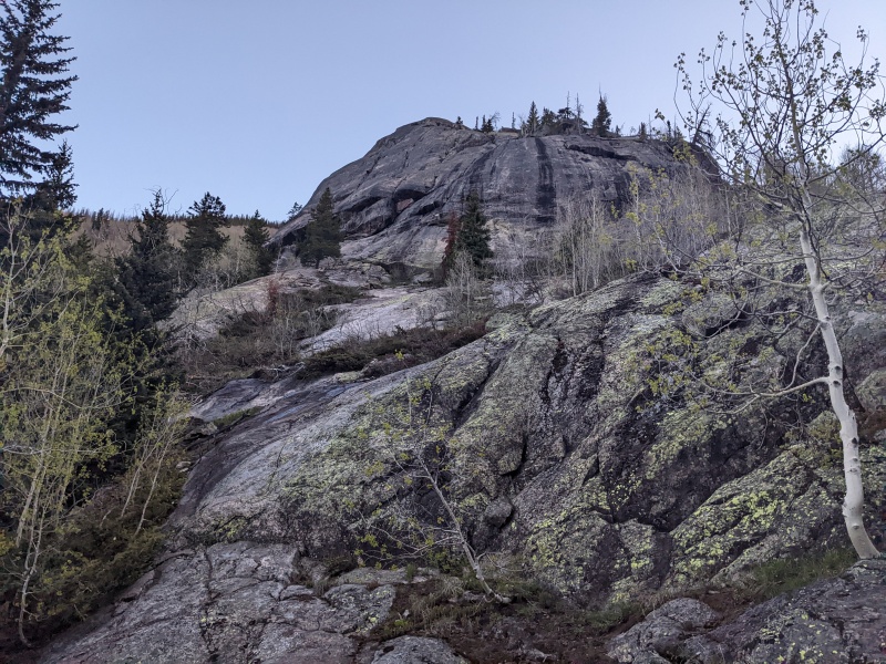
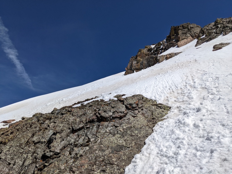
Upon reaching the upper basin, we spied several options to reach the next part of the climb, all of which were snow covered. We cramponed up and took an angled snow strip along the left edge of the valley, which spit us out under the huge west face of Peak C. We decided to take a long break once in this area to give the snow a chance to soften and to admire our hard work up to this point. We scampered up to a perch that was in the sun and basked in the warmth for 45 minutes before continuing on. 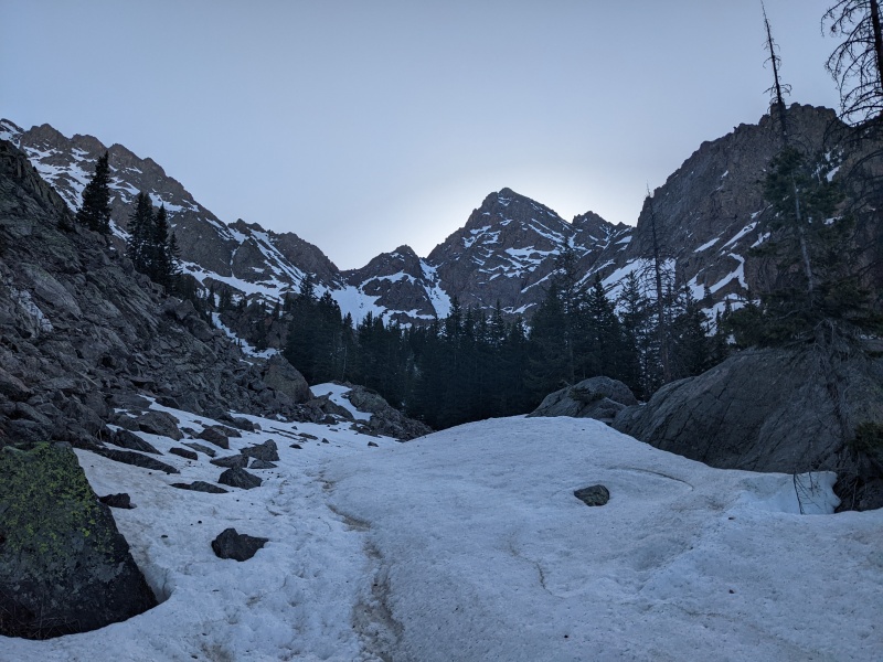
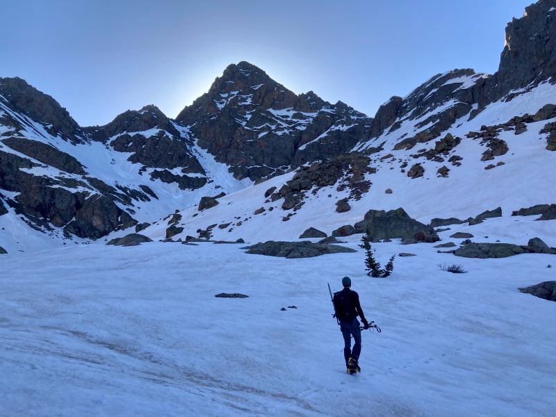
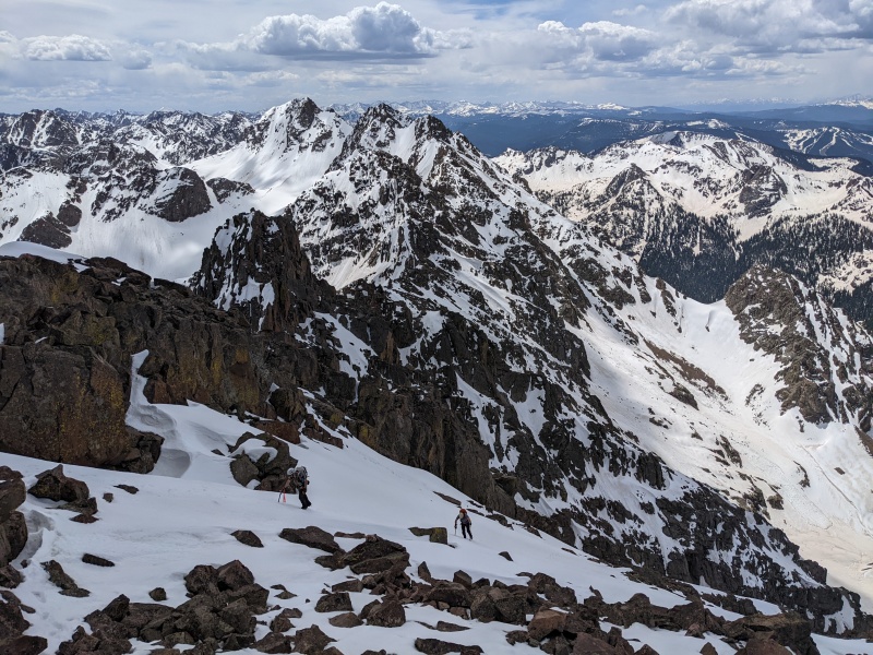
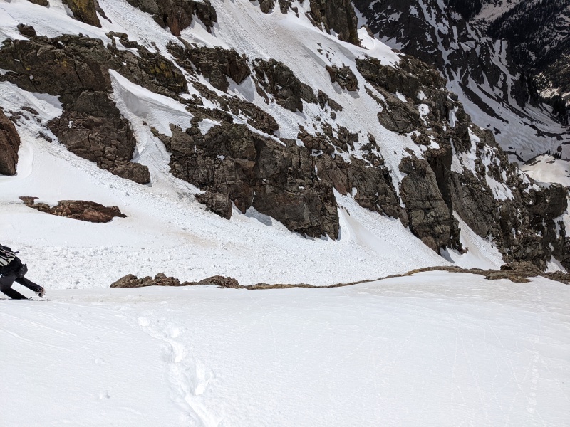
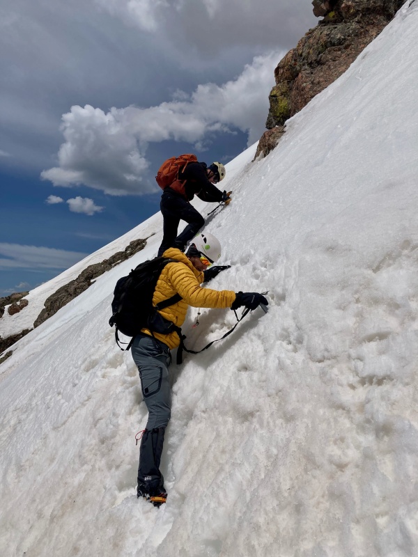
The next part of the route requires ascending to the crest of a ridge, then traversing to the bottom of the SW couloir. To gain the ridge, there are two couloirs, and both of them go and were in. We elected to take the couloir closer to C because it was closer to the peak, had less evidence of rockfall, and didn't have as steep of an exit as the first one. This ended up being the right call, as had we taken the first couloir, we'd have had steep snow-covered sidehilling to reach the exit of the second couloir, and the first had a cornice facing the opposite side we'd have had to bust through. The couloir we took ended up being fairly mellow, with a slope angle around 40 degrees and never exceeding 42. The avalanche debris in the couloir gave some texture for us to ascend, and though the snow was firm, we made quick work to the top, where the views opened up to the rest of our day. 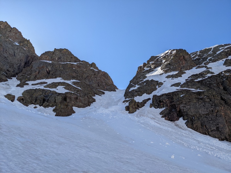
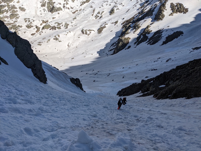
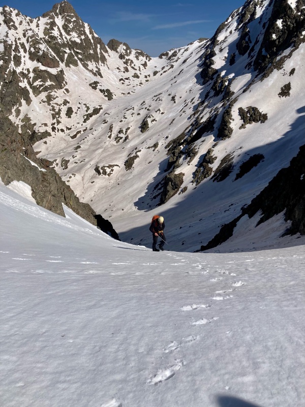
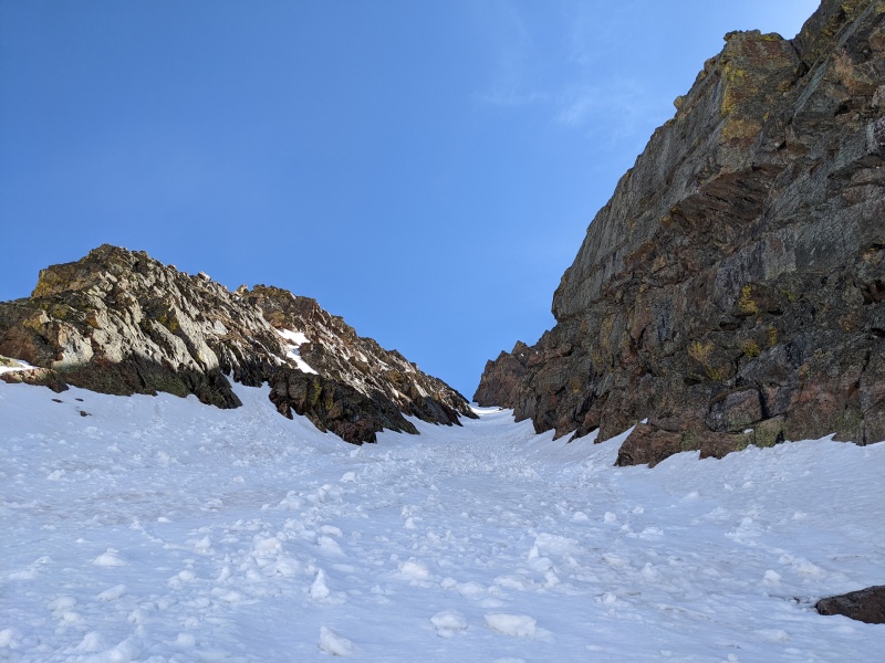
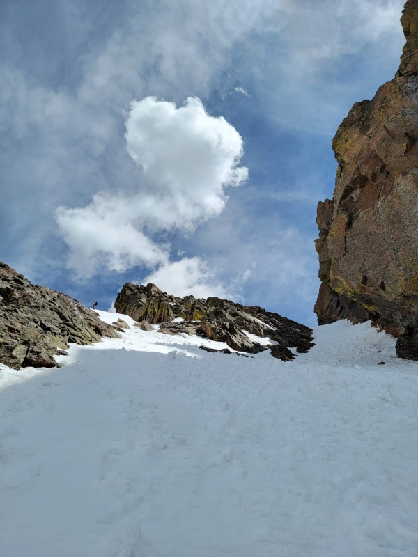
From here, the route to the SW couloir was obvious and fortunately required very little elevation loss. We traversed over to the the base of the couloir, stopping briefly to refuel and drop to short sleeves, then entered the couloir at 12k. The couloir was also littered with avy debris, but it was pretty mellow as well, hovering around 40 degrees. The couloir does have a requirement that to allow safe passage, at least one member of the group needs to wear a Hawaiian shirt with the chest buttons popped, but luckily Chris had us covered there. 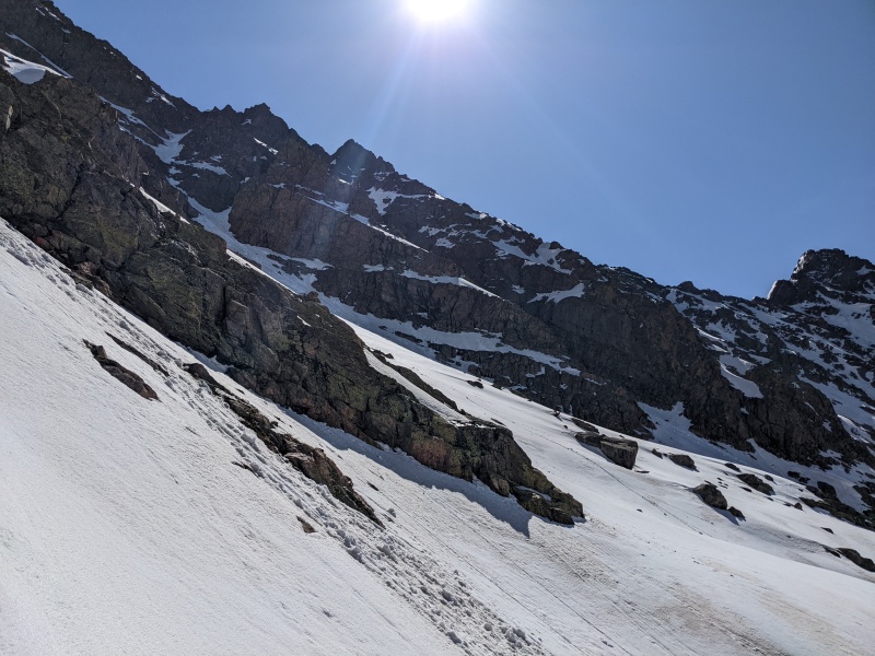
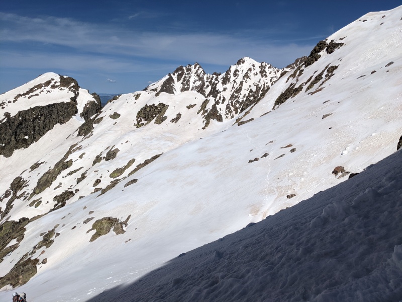

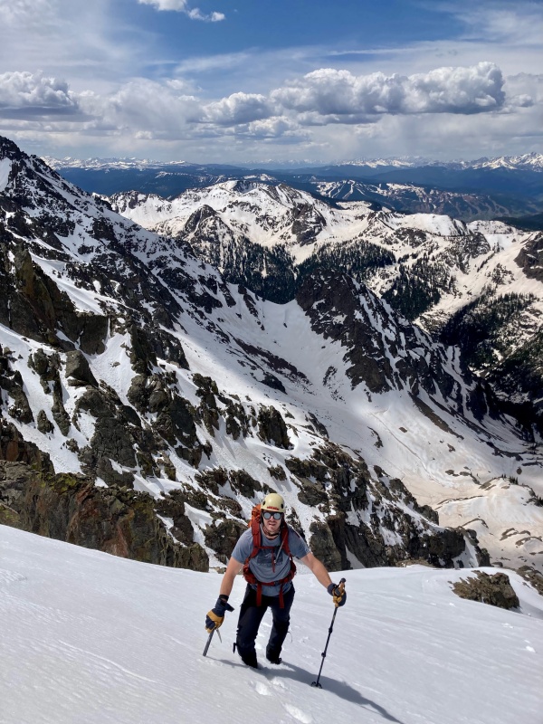
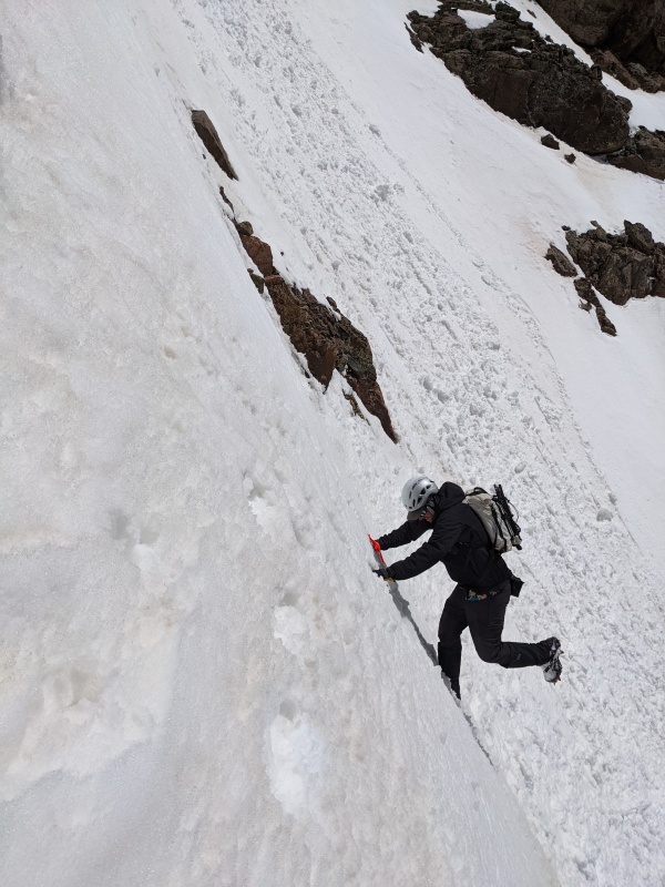
About halfway up the couloir, we stopped to discuss our options. There are several ways to reach the summit from here, and all have their pros and cons. You can climb the couloir to the top, turn left, and scramble the ridge crest to the summit, which allows you to climb the entirety of the couloir and get on some rock; you can turn left about 50-100 feet short of the top of the couloir, climb some snow, and take a talus field up to the ridge near the summit, which is likely the most direct option; or you can turn left at 12.5k and ascend a snowfield on the SW face of Peak C, allowing an ascent entirely on snow. As a group, we decided that our preference was to maximize our time on snow, so our goal was to get to the snowfield and take that to the summit. However, we thought that the 2nd option would connect via snow to the snowfield, and went for it. We found ourselves at the base of a talus field, which didn't coalesce with our goal for the climb, and our attempts to cross a rock rib to the left to reach the snow were blocked by a 20 foot vertical wall. Instead, we found mildly sketchy, mostly snow-covered downclimb that took us down and around an inconveniently placed rock rib and back onto the snow field. This loop-de-loop cost some time, but worked out fine and placed us on the snowfield a couple of hundred feet above where we should have turned left to enter it. 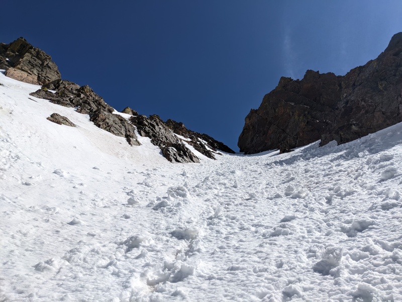

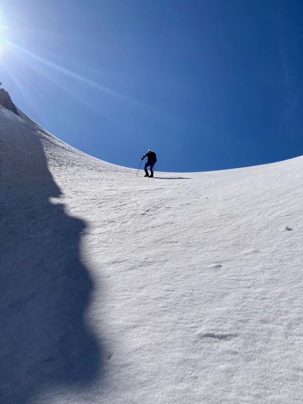
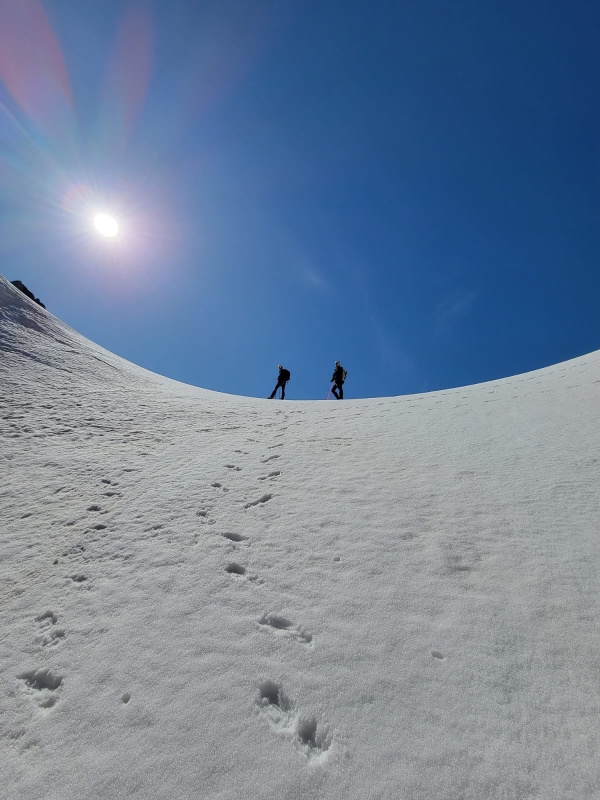
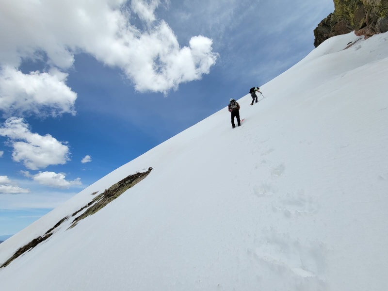
Once on the snowfield, the route was clear. We found some steeper snow in places where it had drifted, reaching upper 40s in angle. The snow was generally good, though maybe a little soft at times, as it had been in the sun most of the day. Now on the correct route, we ascended quickly and reached the summit! 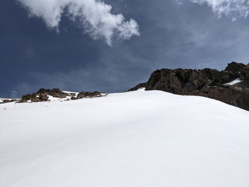
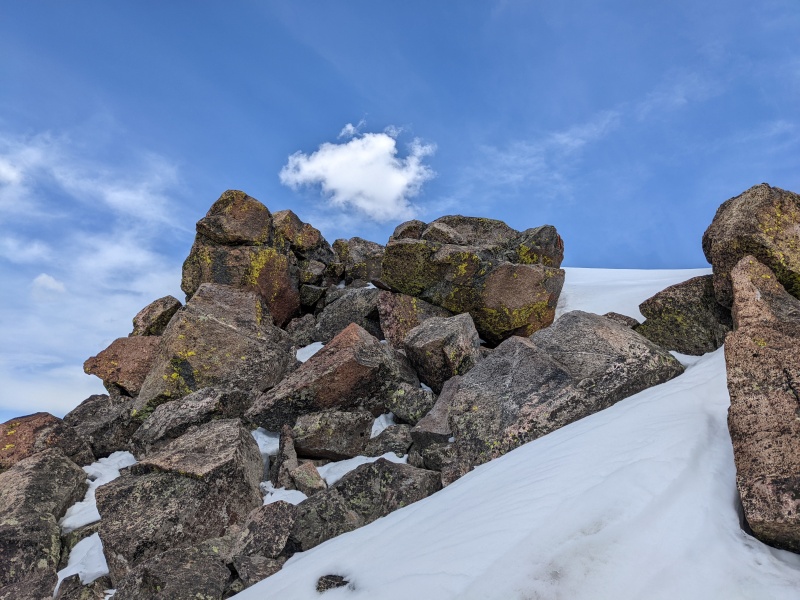
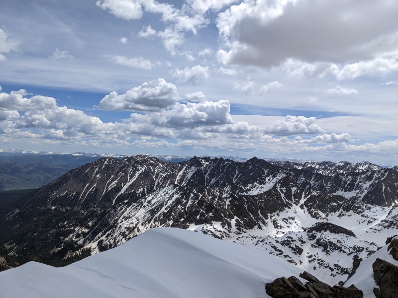
What a place! Views from the summit were inconceivable. The jagged peaks of the Gores create a backdrop only rivaled by the heart of the Weminuche. This felt like very few other places in Colorado, and the 10 miles and 2 couloirs we'd traveled made it all the more special. 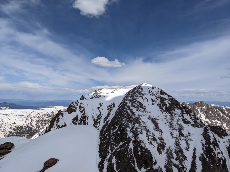
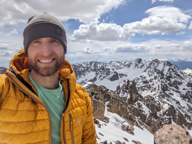
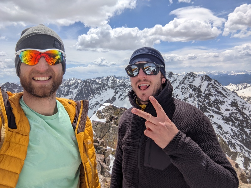
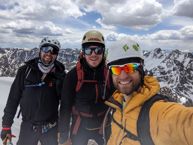
The summit was a pleasant one. The wind wasn't too bad and it was fairly warm, so we lingered for a while, jealously watching Chris eat a Jimmy John's sub he had the foresight to haul up. Kind bars don't hit the same while staring at an Italian sub. After at least a half hour, we extricated ourselves from the natural recliners the rocks made and headed down. I magnanimously (or selfishly...?) allowed Chris to go first, and he plunged great steps all the way back to the couloir, which Brandon and I were more than happy to follow. The last part of the snowfield before entering the couloir proper held the steepest snow of the day, which I measured at 53 degrees, but it was a short, unexposed section, and went without incident. 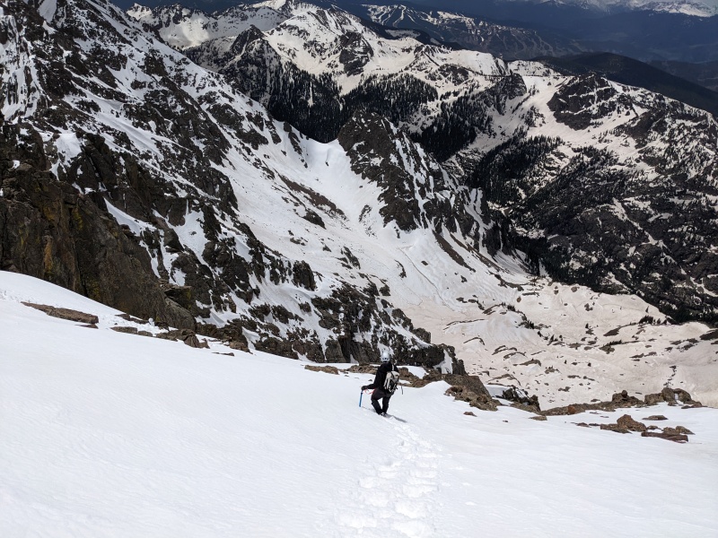
We pulled crampons once at the base of the couloir and traversed back to the top of the access couloir. The snow had warmed enough we were able to glissade 600 vert from the top of the couloir until the basin flattens out. I once again proved that my Under Armour running pants are the fastest glissade pants in existence and out-slid everyone (shout-out UA outlet store in Castle Rock, aka my second home). We navigated the angled snow gully without crampons and with moderate slippage before finding the top of the climber's trail. I took off my pants (shout-out Brian) but only to remove my tights, as it was scorching hot. The descent of the climber's trail was easier than expected, as the snow drifts held up better than we anticipated. A short while later, we were back at the creek and ready-ish for the 8 miles back to the car. 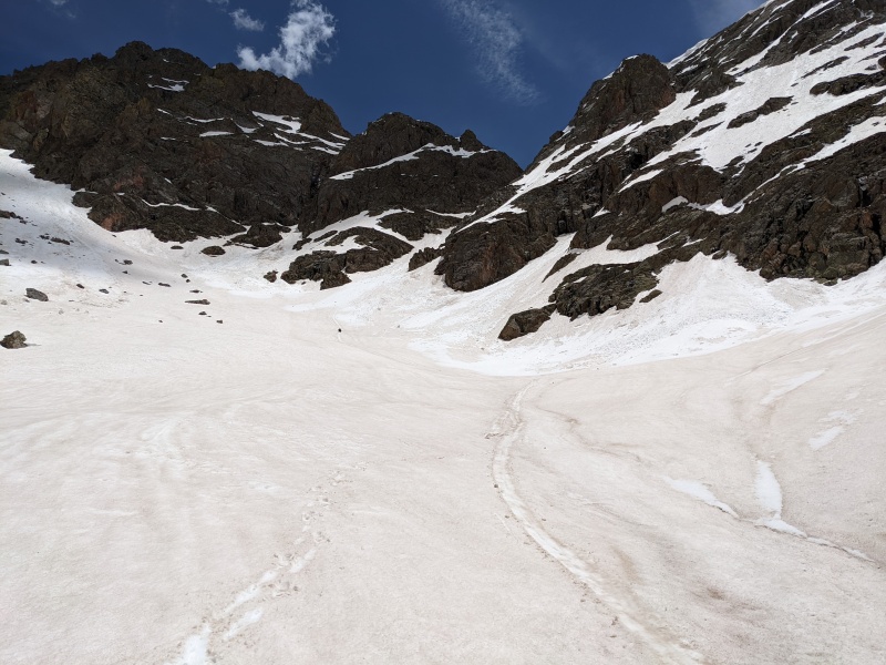
The hike out is long. A section of at least two miles passes with less than 100 feet of elevation fluctuation, and the entire hike out you can see the lake at the ranch, but it never seems to get closer. We had been chatting almost the whole hike about a lot of things, mainly comparing ice axes, but things got real quiet during this part. It wasn't until we reached the lake and saw a golden eagle perched above the lake, eyeing its dinner of baby geese, that the words flowed again. We took one final break, lamented the lack of trail runners, and begrudgingly grinded the 4+ miles back to the car. 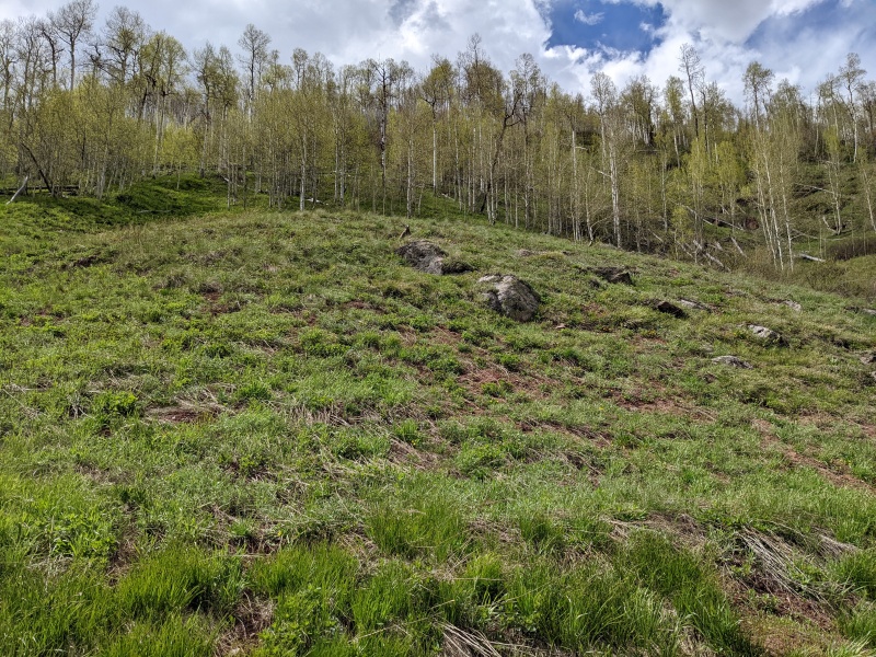
Even from this one hike, my first time into the Gores, it's clear this range is special. What it lacks in creatively named peaks, it makes up for in beauty, ruggedness, and wildness. There were so many amazing lines, both snow and rock, visible just from our vantage on top of C that I can't wait to get back out here and C what's next. 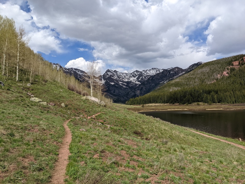
Thumbnails for uploaded photos (click to open slideshow): ")
")
")
")
")
")
")
")
")
")
")
")
")
")
")
")
")
")
")
")
")
")
")
")
")
")
")
")
")
")
")
")
")
")
")
")
")
")
")
")
")
|
| Comments or Questions | |||||||||
|---|---|---|---|---|---|---|---|---|---|
|
Caution: The information contained in this report may not be accurate and should not be the only resource used in preparation for your climb. Failure to have the necessary experience, physical conditioning, supplies or equipment can result in injury or death. 14ers.com and the author(s) of this report provide no warranties, either express or implied, that the information provided is accurate or reliable. By using the information provided, you agree to indemnify and hold harmless 14ers.com and the report author(s) with respect to any claims and demands against them, including any attorney fees and expenses. Please read the 14ers.com Safety and Disclaimer pages for more information.
Please respect private property: 14ers.com supports the rights of private landowners to determine how and by whom their land will be used. In Colorado, it is your responsibility to determine if land is private and to obtain the appropriate permission before entering the property.