Download Agreement, Release, and Acknowledgement of Risk:
You (the person requesting this file download) fully understand mountain climbing ("Activity") involves risks and dangers of serious bodily injury, including permanent disability, paralysis, and death ("Risks") and you fully accept and assume all such risks and all responsibility for losses, costs, and damages you incur as a result of your participation in this Activity.
You acknowledge that information in the file you have chosen to download may not be accurate and may contain errors. You agree to assume all risks when using this information and agree to release and discharge 14ers.com, 14ers Inc. and the author(s) of such information (collectively, the "Released Parties").
You hereby discharge the Released Parties from all damages, actions, claims and liabilities of any nature, specifically including, but not limited to, damages, actions, claims and liabilities arising from or related to the negligence of the Released Parties. You further agree to indemnify, hold harmless and defend 14ers.com, 14ers Inc. and each of the other Released Parties from and against any loss, damage, liability and expense, including costs and attorney fees, incurred by 14ers.com, 14ers Inc. or any of the other Released Parties as a result of you using information provided on the 14ers.com or 14ers Inc. websites.
You have read this agreement, fully understand its terms and intend it to be a complete and unconditional release of all liability to the greatest extent allowed by law and agree that if any portion of this agreement is held to be invalid the balance, notwithstanding, shall continue in full force and effect.
By clicking "OK" you agree to these terms. If you DO NOT agree, click "Cancel"...
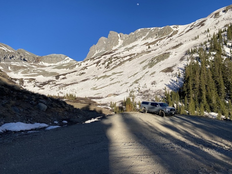
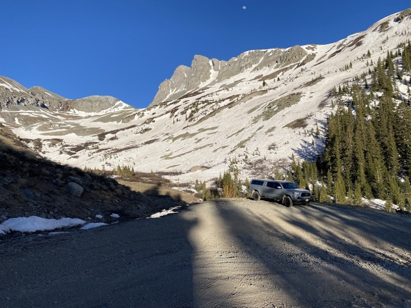
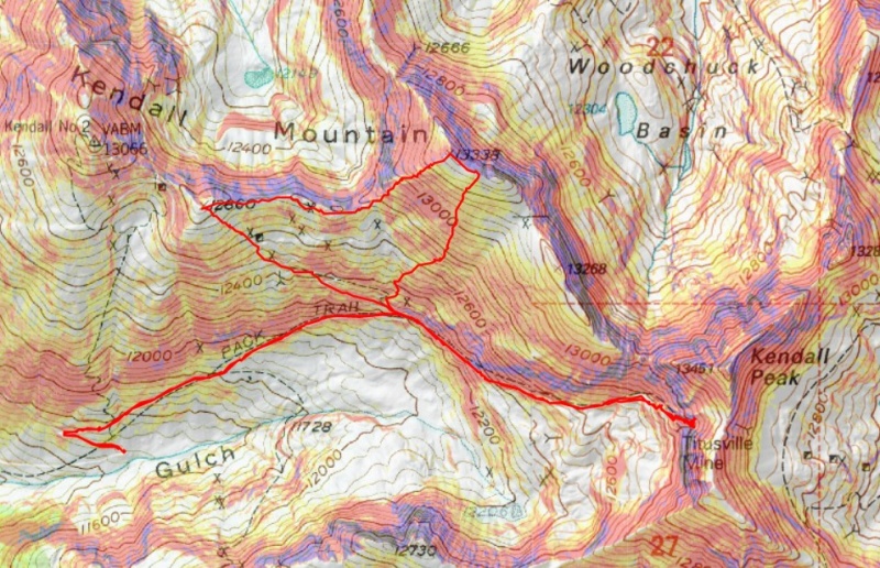
Let me begin by saying Kendall Mountain was not my first intended peak of the day, so my stats and topo map are a little off. I made it to the Kendall Gulch parking area the night before, and slept at 11460’.
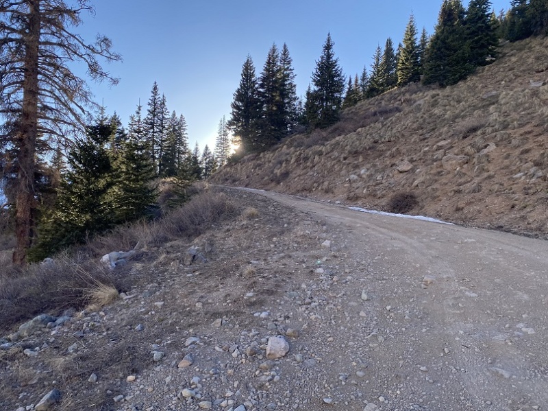
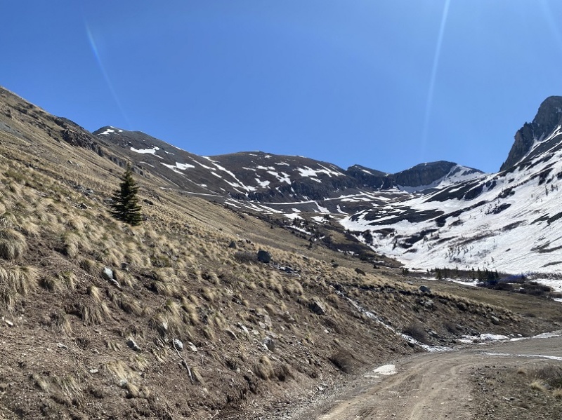
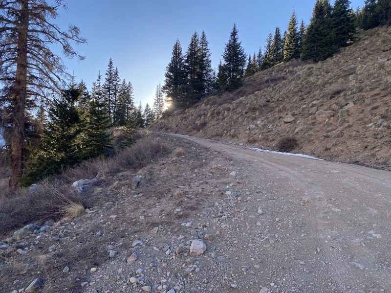
The next morning I rose late, and was on the trail after the sun had risen, at 6am. The road was easy to follow, and clear of snow the first half of the way.
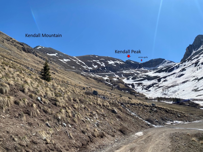
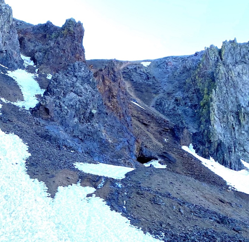
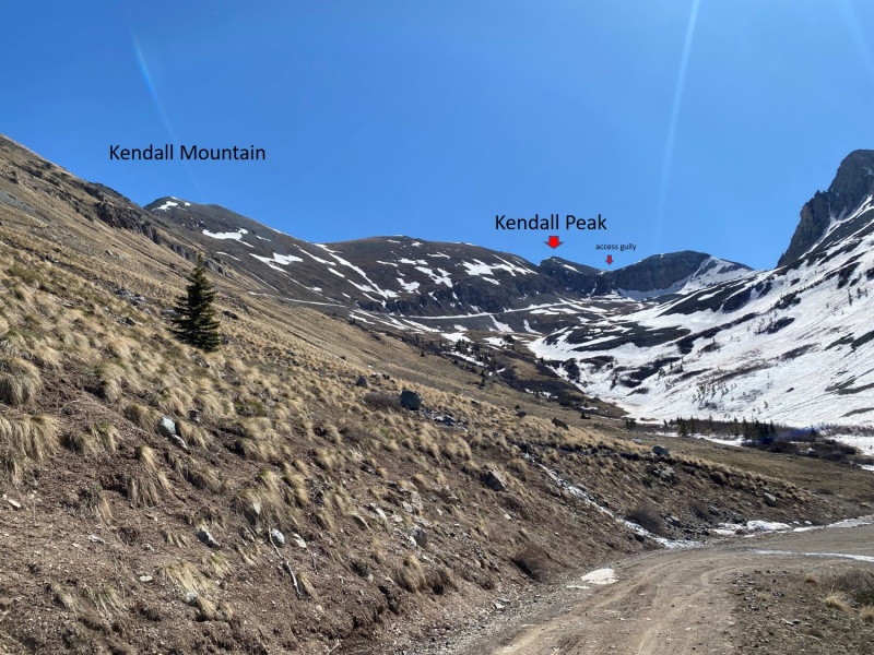
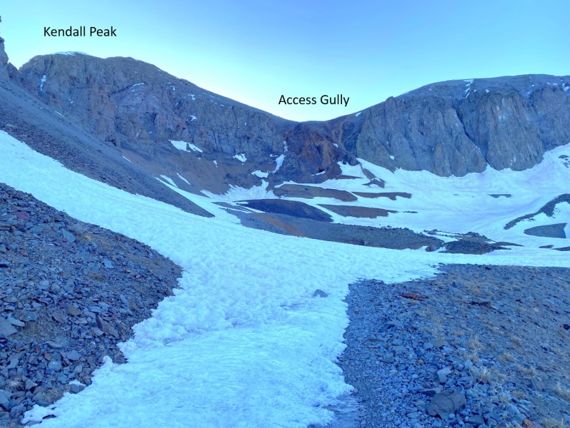
I was originally headed toward Kendall Peak; specifically, the gully
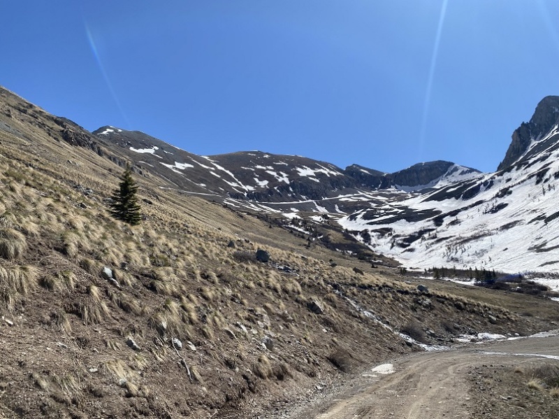
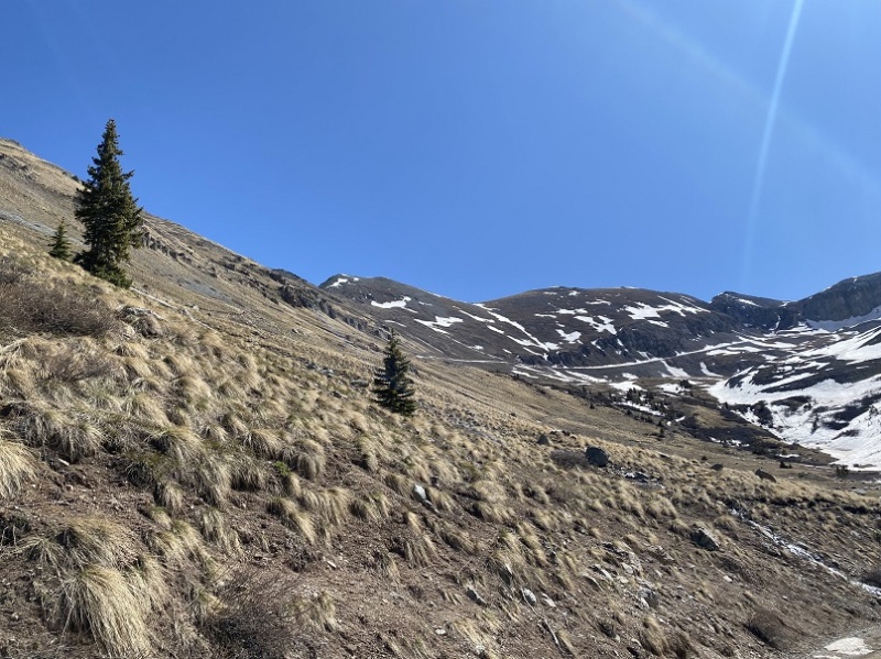
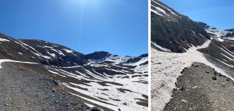
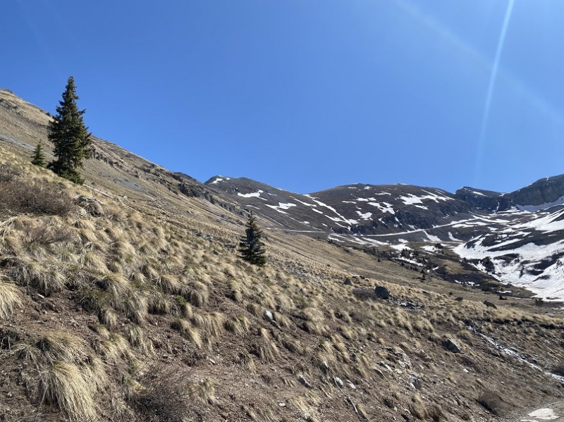
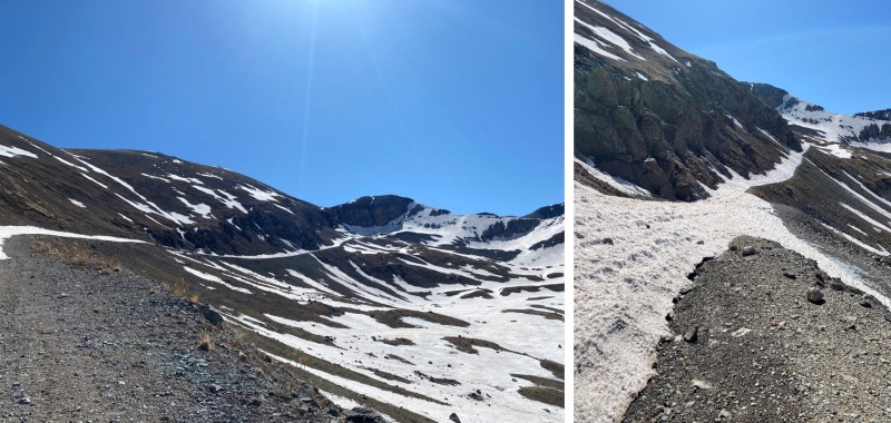
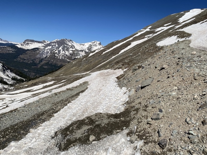
Here are some pictures of the way to the gully… I just followed the road to a mine
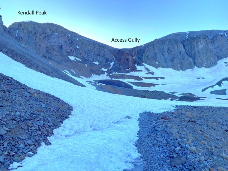
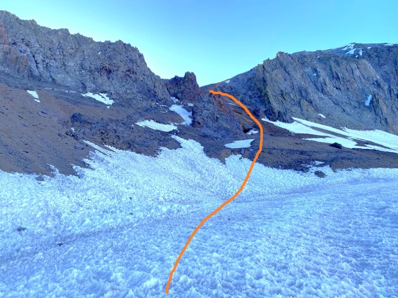
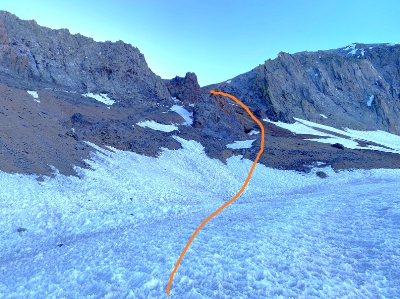
Once at the base, the route looked simple enough: I just needed to get up the gully to the ridge, and take the ridge to the summit
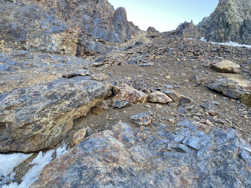
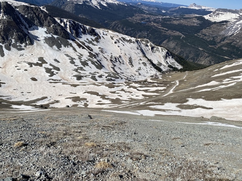
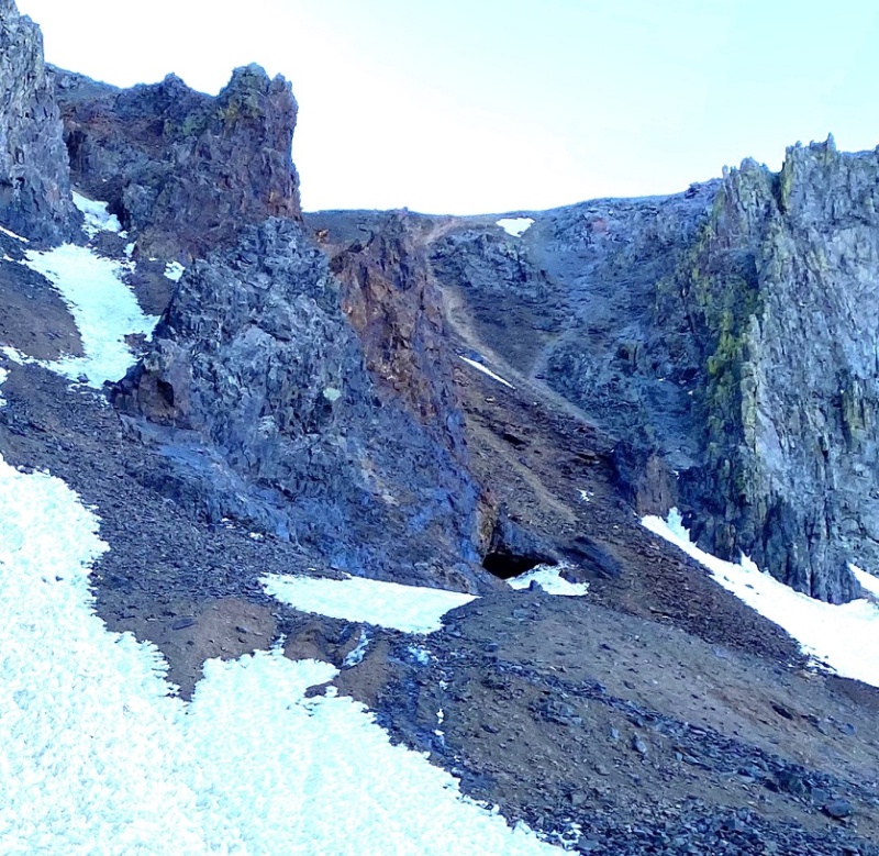
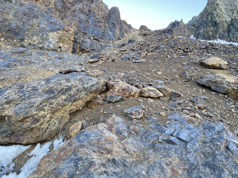
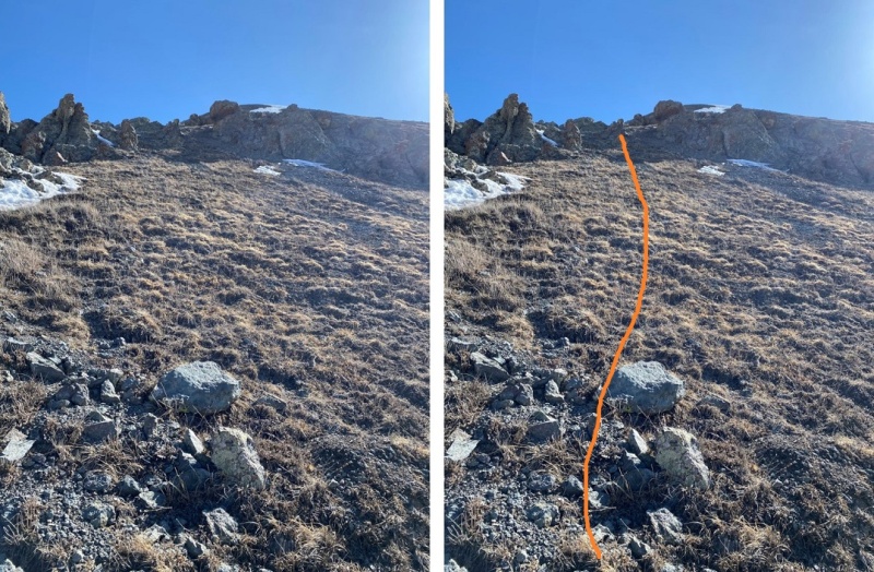
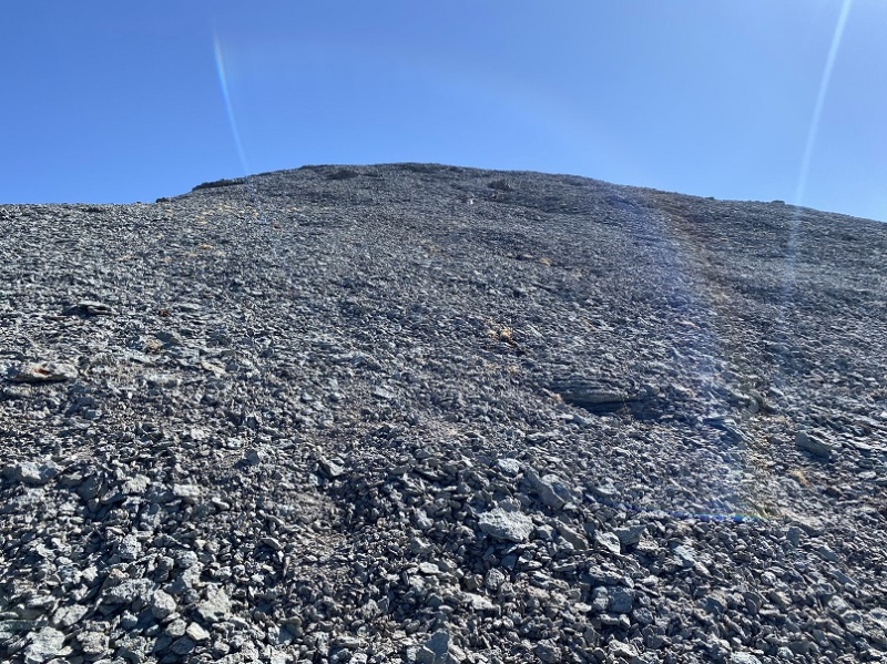
I’m really embarrassed to say this, but I wasn’t able to get up the gully. I made it about half way, and it became too steep. This was worse than kitty litter over rocks. It was talus that gave way to rockslides, and tiny pebbles over rock. Even with microspikes on, I couldn’t get traction, and kept slipping and falling down. It’s a lot steeper than it looks. I tried several different routes, but was unable to gain traction on any of them. After my fourth or fifth attempt, I started thinking to myself - who wasn’t wearing a helmet – “This isn’t the way I want to die.” While I might have been able to make it up (doubtful) going down was going to be worse. I made the decision to come back in the winter and try this as a snow climb, which should provide more traction. This was a difficult decision to make, but I knew it was the correct one.
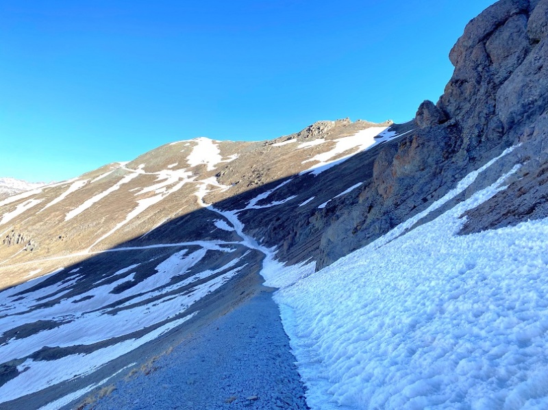
So, I backtracked, and tackled Kendall Mountain. I hiked back to a junction in the road, at 12.265’.
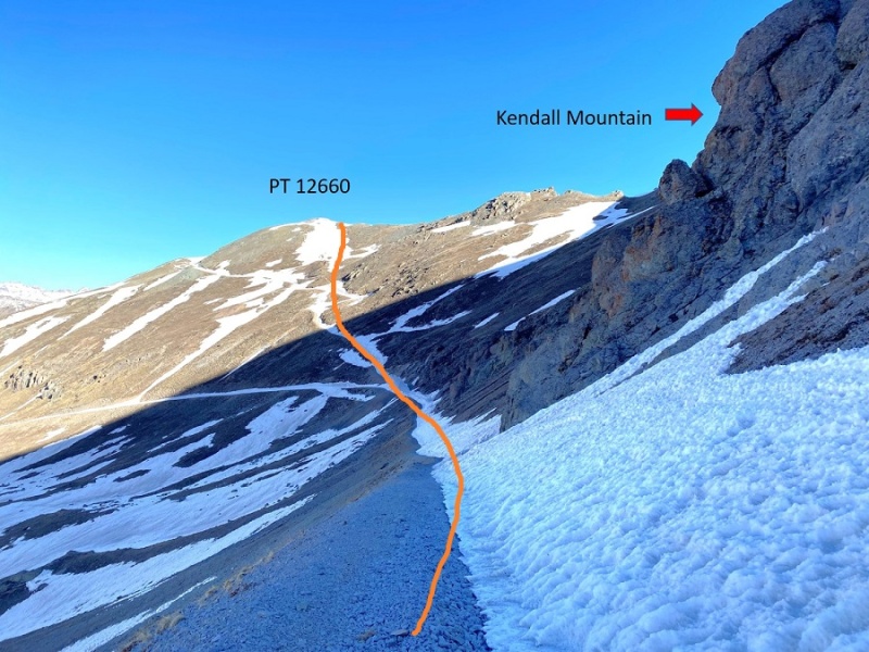
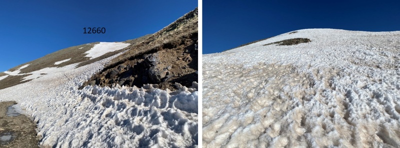
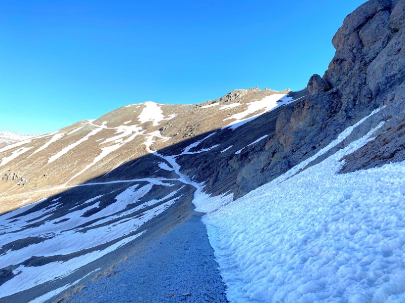
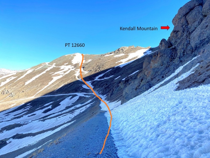
From the junction, I headed up to PT 12660
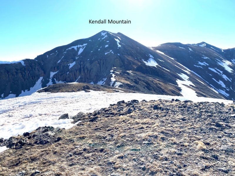
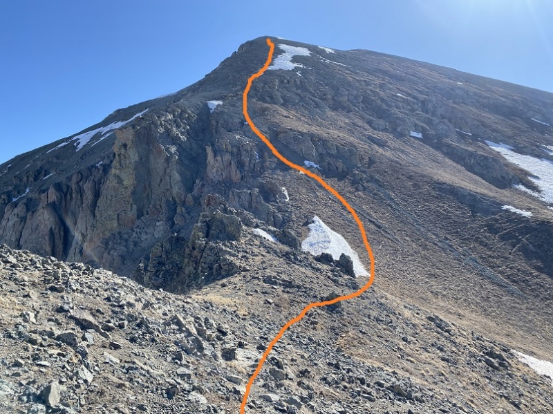
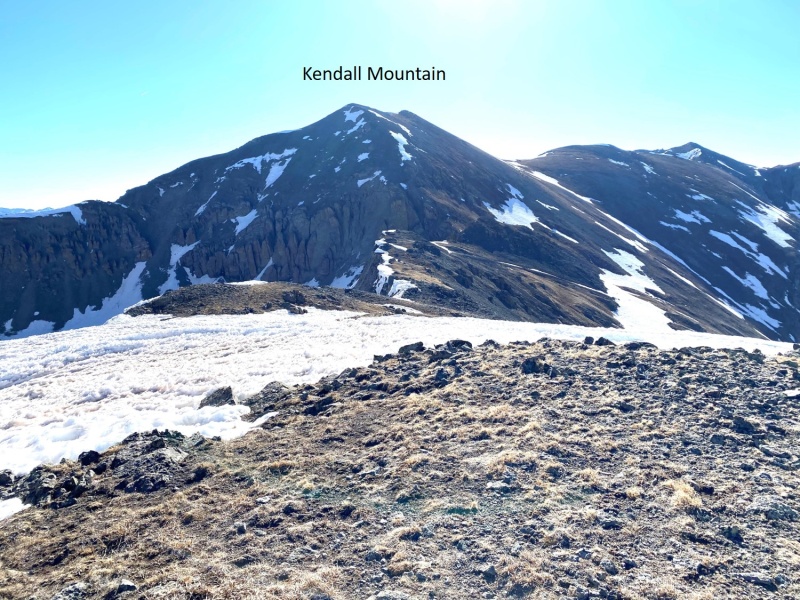
From PT 12660 I turned right and followed the ridge northeast towards Kendall Mountain.
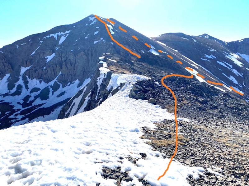
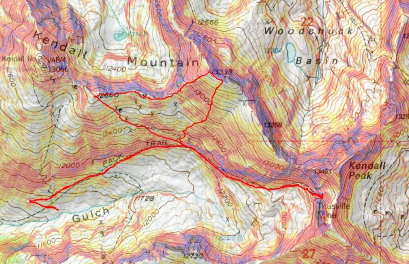
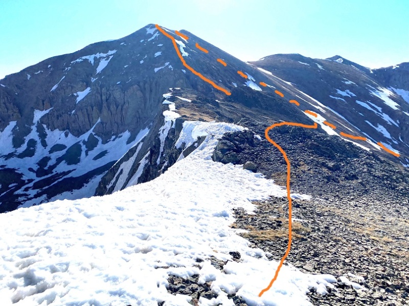
Here’s the route I took to the summit (solid line) and back down (dotted line). You could go up the way I descended, but it would be steep.
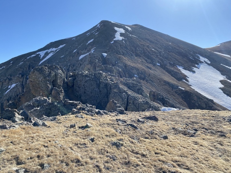
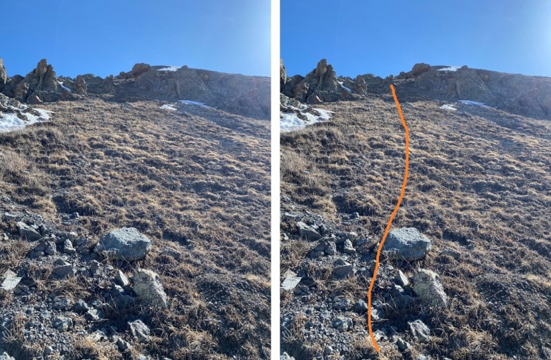
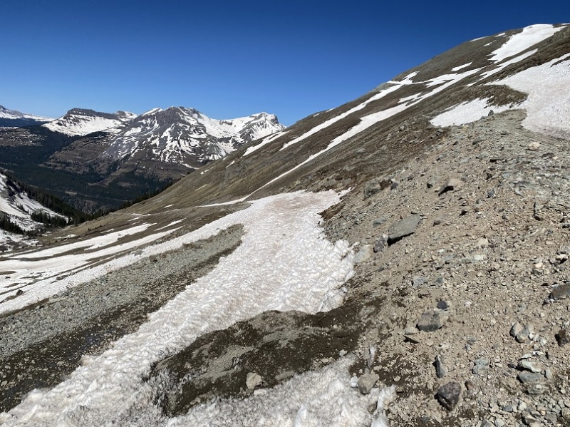
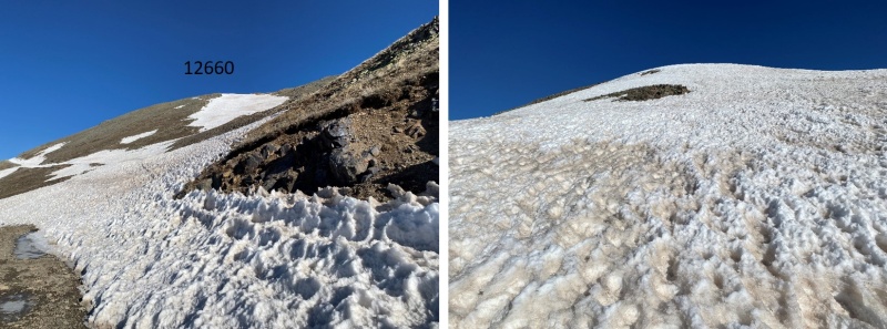
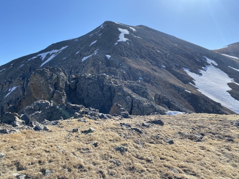
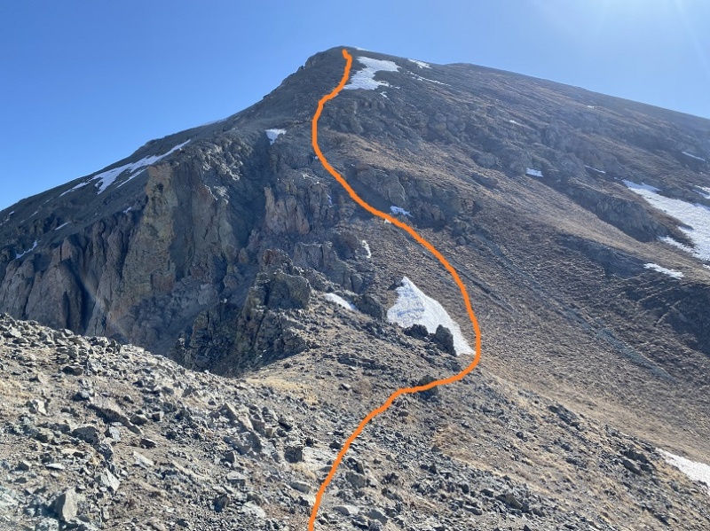
Here are some close-ups of the route to Kendall Mountain
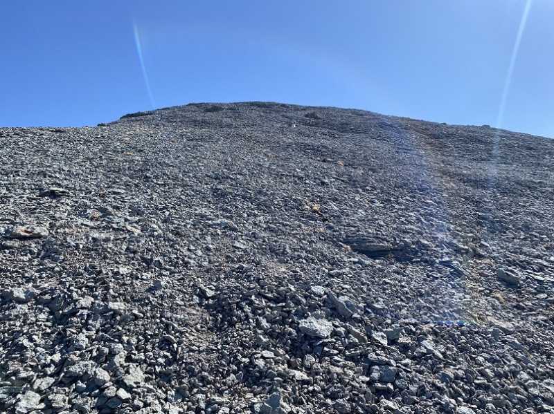
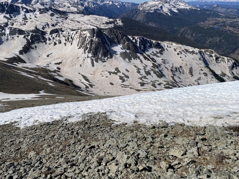
The tundra gave way to small rocks toward the top
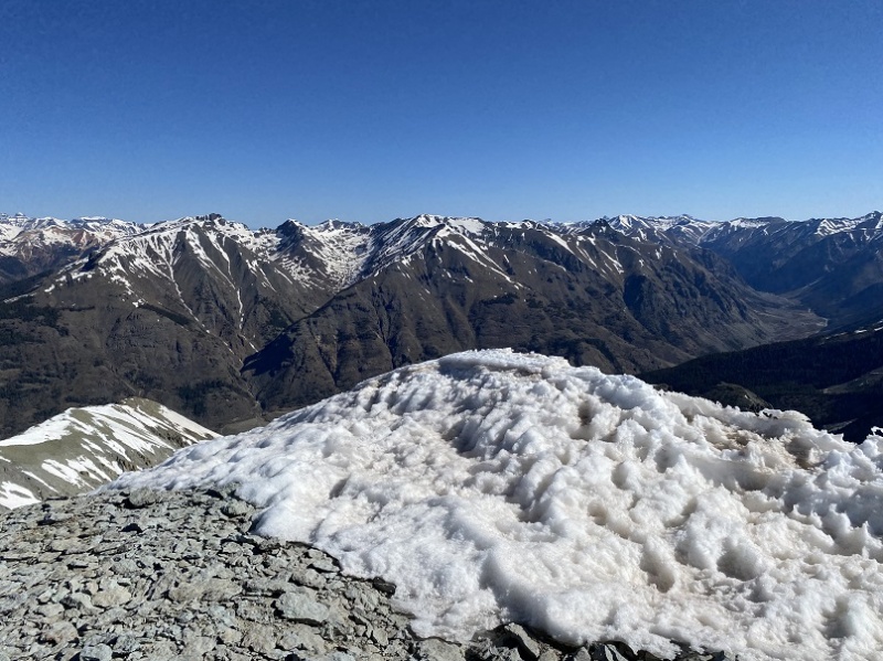
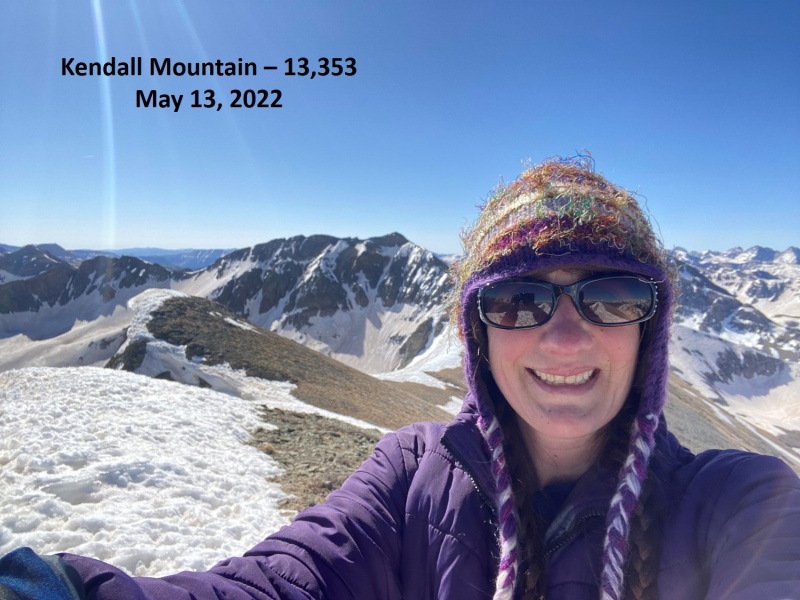
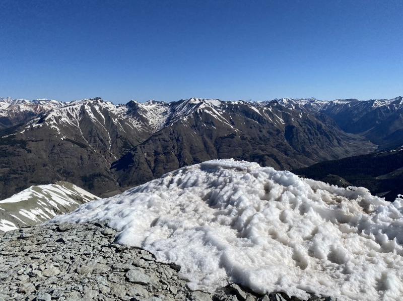
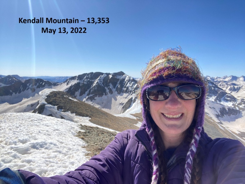
I summited Kendall Mountain at 9:20am
Kendall Mountain:
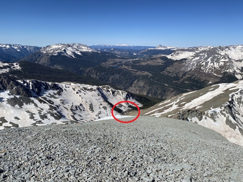
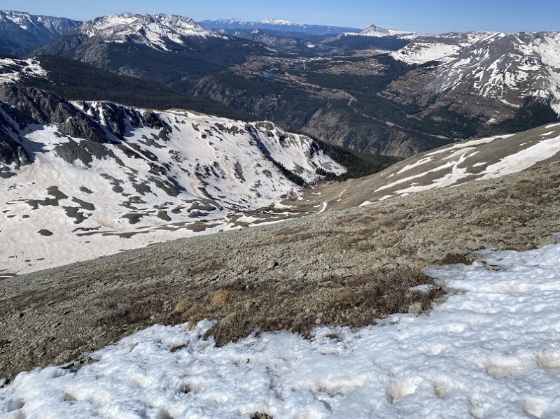
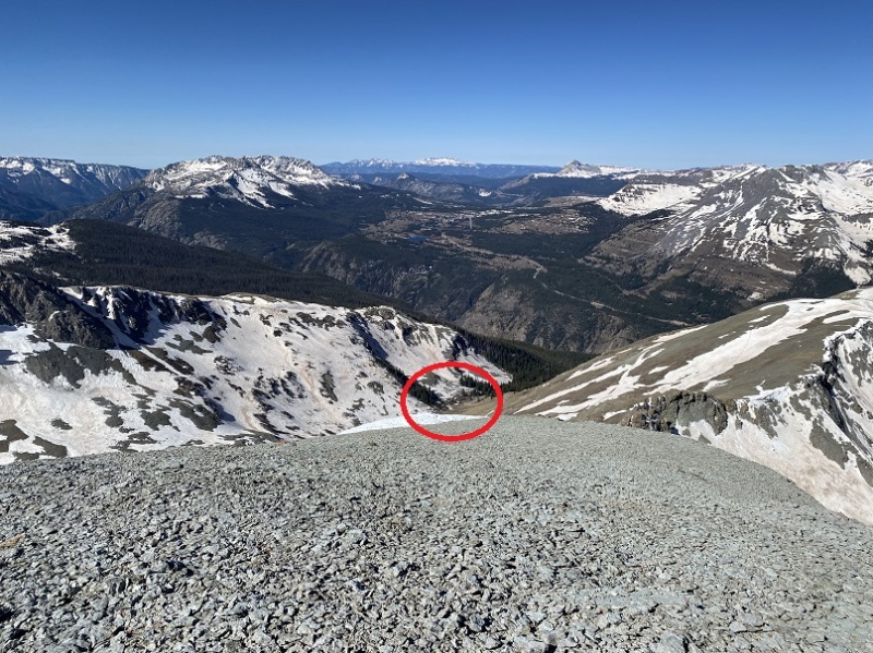
From the summit, when I looked southwest I could see my truck (circled)
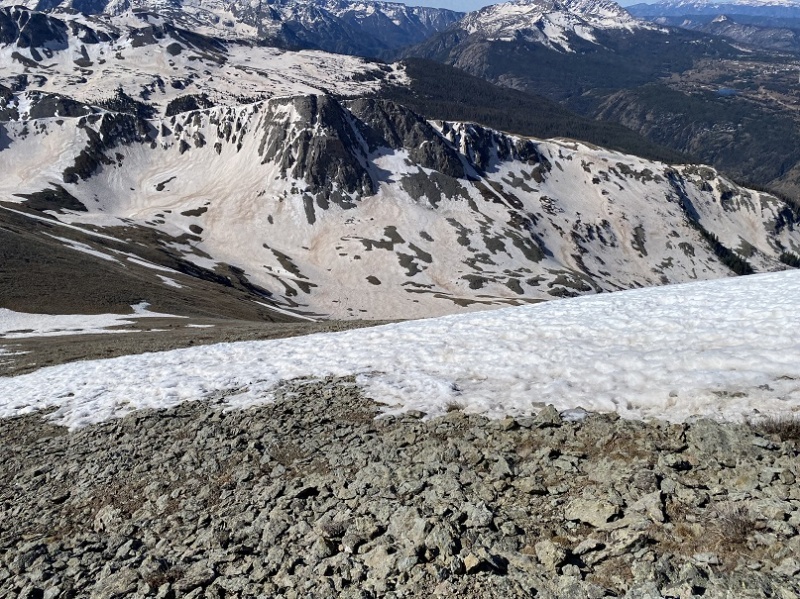
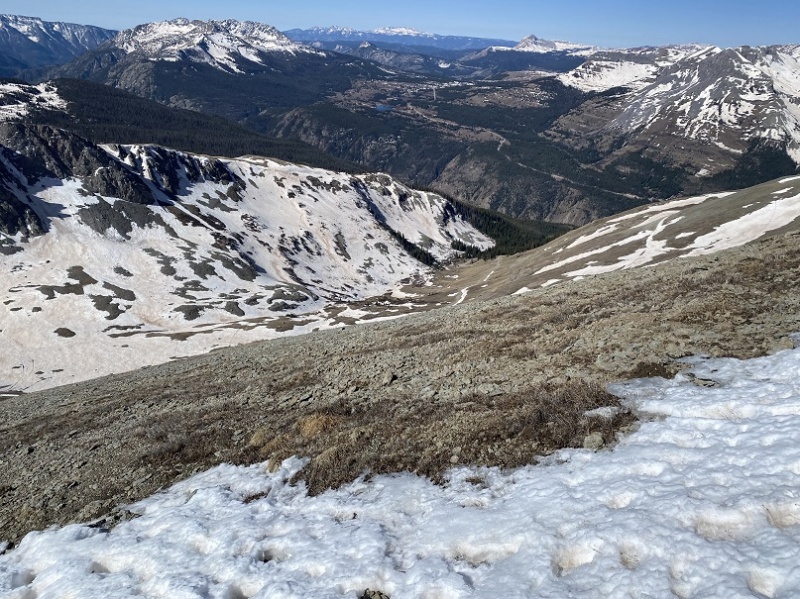
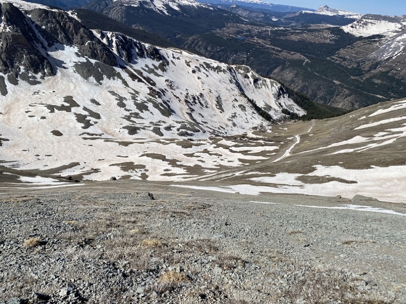
I aimed for it, and the road below. It’s important to head southwest, because the terrain cliffs out if you head directly south or southeast. This was steep, but it was easy to gain traction.
I made it back to the road, and followed it to my truck.
Here’s a topo map of the haphazard route I took.
On to the next trailhead!
Thumbnails for uploaded photos (click to open slideshow):
I was thinking about linking it up with Mountaineer, but the roads to Deer Park weren't clear yet of snow. I'll probably try it again later in the summer :)
Kendall Benchmark Number 2 is actually ranked per LiDAR, so not quite done with this trailhead, just FYI.
And yea, the Kendall Peak ascent gully is pretty awful. I went up it in the summer and continued on to the rest of the Kendall massif peaks, but there's no way in hell I'd go down it. It actually got steep enough on the upper third to half that I found a sharp rock to use as a makeshift dagger to dig into the slope with and use as a handhold. It was not fun and I don't recommend it unless you're hellbent on doing every peak in the Kendall massif in a day.
If you have the time and energy when you go back for the rest, do 12,936 on the south side of Whitehead Gulch (south of 13,109), it has perhaps the best Vestal Basin and Weminuche views of any peak I've ever done (and yes, it's ranked).
I'm working off maps I put together last year, so I wasn't aware Kendall Benchmark was now ranked. No worries though, as I loved the area, and I'll be back for a few more peaks anyway :)
'
I'm curious what the road was like to Kendall Gulch/Deer Park. I haven't seen much info on it, but your photos make it look like a mostly smooth dirt and rock road. Any obstacles of note, or is it probably Subaruable?
The road to Kendall Gulch was easy 4WD. Absolutely Subaruable. It was wide enough to pass others until just before where I parked. The road to Deer Park hadn't yet dried out at the turnoff: There was still snow on the road and it was wet and muddy. The creek was raging. I didn't even attempt it. Maybe in a few more weeks.
Deer park road is subaruable, not any crazy clearance required, gets narrow immediately after the turn off from the main road with no room to turn for a little if a vehicle is encountered, it does get muddy after moisture though so I wouldn't take something with bland tires up there. Heads up- There is a shepherd's camp up there and depending on the time of the year sheep and the guard dogs, there have been a few complaints of the guard dogs that were there being aggressive a couple of years back from the locals although I am not sure if they have since been changed/trained better to respond to the commands.
Caution: The information contained in this report may not be accurate and should not be the only resource used in preparation for your climb. Failure to have the necessary experience, physical conditioning, supplies or equipment can result in injury or death. 14ers.com and the author(s) of this report provide no warranties, either express or implied, that the information provided is accurate or reliable. By using the information provided, you agree to indemnify and hold harmless 14ers.com and the report author(s) with respect to any claims and demands against them, including any attorney fees and expenses. Please read the 14ers.com Safety and Disclaimer pages for more information.
Copyright: Route information, text, risk factors, maps, GPX files, charts, photos, 14ers.com-created map imagery, flythroughs, and other content provided in this route description are copyrighted by 14ers.com and may not be copied, reproduced, republished, distributed, modified, or used to create derivative works without prior written permission.
Please respect private property: 14ers.com supports the rights of private landowners to determine how and by whom their land will be used. In Colorado, it is your responsibility to determine if land is private and to obtain the appropriate permission before entering the property.