Download Agreement, Release, and Acknowledgement of Risk:
You (the person requesting this file download) fully understand mountain climbing ("Activity") involves risks and dangers of serious bodily injury, including permanent disability, paralysis, and death ("Risks") and you fully accept and assume all such risks and all responsibility for losses, costs, and damages you incur as a result of your participation in this Activity.
You acknowledge that information in the file you have chosen to download may not be accurate and may contain errors. You agree to assume all risks when using this information and agree to release and discharge 14ers.com, 14ers Inc. and the author(s) of such information (collectively, the "Released Parties").
You hereby discharge the Released Parties from all damages, actions, claims and liabilities of any nature, specifically including, but not limited to, damages, actions, claims and liabilities arising from or related to the negligence of the Released Parties. You further agree to indemnify, hold harmless and defend 14ers.com, 14ers Inc. and each of the other Released Parties from and against any loss, damage, liability and expense, including costs and attorney fees, incurred by 14ers.com, 14ers Inc. or any of the other Released Parties as a result of you using information provided on the 14ers.com or 14ers Inc. websites.
You have read this agreement, fully understand its terms and intend it to be a complete and unconditional release of all liability to the greatest extent allowed by law and agree that if any portion of this agreement is held to be invalid the balance, notwithstanding, shall continue in full force and effect.
By clicking "OK" you agree to these terms. If you DO NOT agree, click "Cancel"...
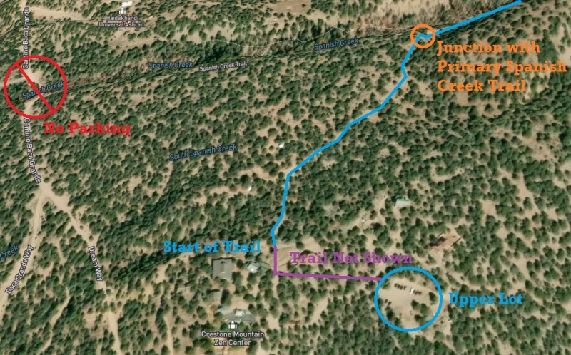
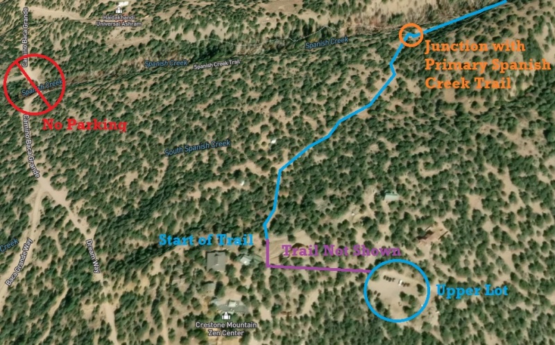
Note: The Spanish Creek Trailhead is on private property. Use of the trail is free, but permission must be obtained from the Crestone Mountain Zen Center via the following link: https://dharmasangha.org/wilderness-access-permit/. Parking is in the Upper Lot of the Zen Center (signs will direct you). Car camping anywhere on CMZC (Including on Camino Baca Grande at the intersection with Spanish Creek) is not allowed. Additionally, please be respectful of the property so that the 14ers community can continue to have access to this basin - no fires, practice leave no trace principles, no music, parties, etc. in the parking lot.
Note: Find the trail from the upper lot can be a bit challenging. While Spanish Creek Trail is not available as a selectable option on All Trails, it DOES appear on the map. What I did is downloaded a nearby trail for offline use, which includes surrounding areas, and was able to track (offline) using the map. Navigating through the Zen complex, your trail will follow the line highlighted in the photo below. To get to the "start" of the trail, walk to the primary road that runs through the complex and follow it North. You'll follow a spur of the Spanish Creek trail that shows up on All Trails before joining with the primary Spanish Creek Trail that heads East into the Basin.
Spanish Creek Trail Access Details
The Approach:
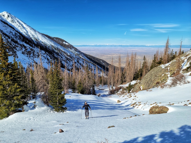
We started our day at 4:15 AM for what turned out to be approximately 12.5 miles and 6000 feet of gain (add a mile since that number is from a Garmin In-Reach... the trail meanders more than what's shown on the map and than what the In-Reach would pick up). We took both ski boots and hiking shoes/boots. The Hiking boots were very useful for navigating the deadfall lower down until we reached an area of continuous snow around 11,000 feet. After joining the primary Spanish Creak trail, you'll begin heading West up the basin. The trail is faint, but visible. We were able to follow it at night with headlamps. There are a few creek crossing during the early portion of the trail (first 0.5 miles), but that's it. All crossings have a log or similar placed over them. The creek is fairly small and relatively easy to cross. The trail itself is well-graded, and gradually gains elevation into the upper basin. Make sure you're ascending into the basin on the North side of the creek. If you find yourself side hilling on a steep slope that leads down the creek, the trail is likely above you.
The primary obstacle of the Spanish Creek Trail is deadfall. There are multiple trees that have fallen at an awkward height across the trail within the first 1-1.5 miles, which lead to several gymnastic maneuvers to get ourselves and our ski-laden packs under the trees. It was a constant battle to make sure our skis or boots weren't getting caught on some branch - smaller day packs will have a significantly easier time. As you approach tree line, you'll enter what's affectionately known as the "Land of Chopsticks." There are many trees down across the trail that you'll have to maneuver over... luckily this section only lasts for a mile or so. Once you get to the spot where the trail ends on the All Trails Map, you'll see a Couloir up and to the left. This is a Couloir between Challenger Point and Kit Carson, not Cole's Couloir, which starts at the saddle between Kit Carson and Columbia Point. Proceed East until you're past the South Ridge of Kit Carson and "The Prow". You should see your Objective up and to the left.
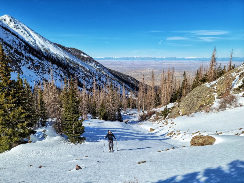
We descended down from the trail and into the creek bed where there was more continuous snow. We stashed our hiking boots and transitioned into our ski boots and touring set-ups around 11,000 feet. We left the trail at this point and proceeded to skin up the drainage - transitioning over to the South side of the creek when it made sense (terrain or snow coverage).
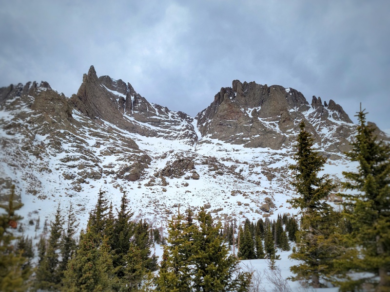
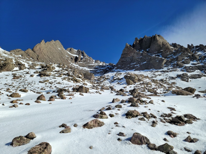
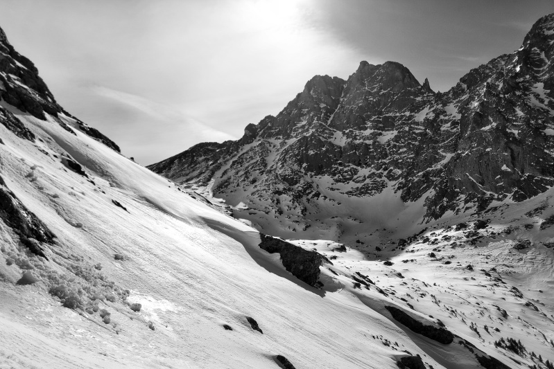
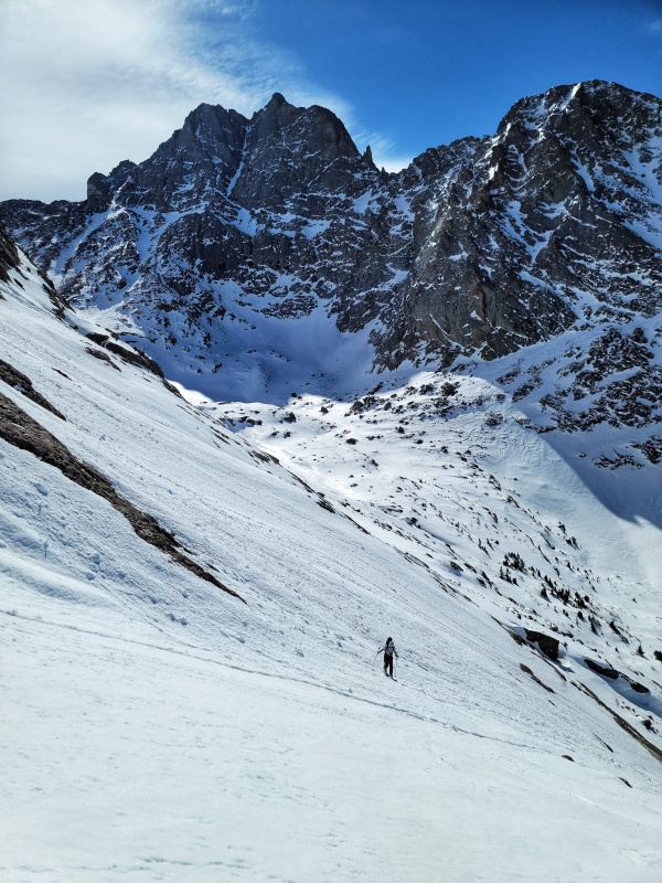
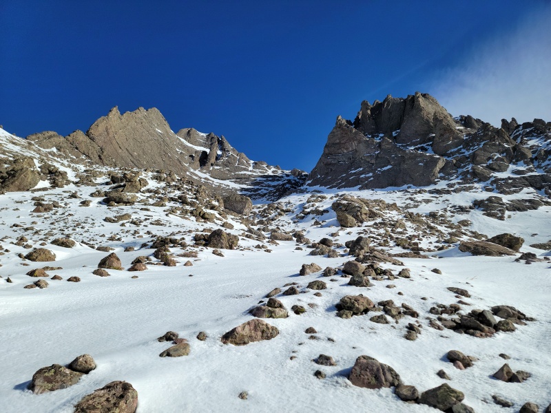
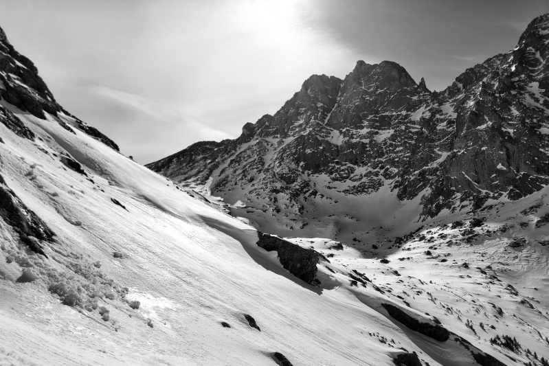
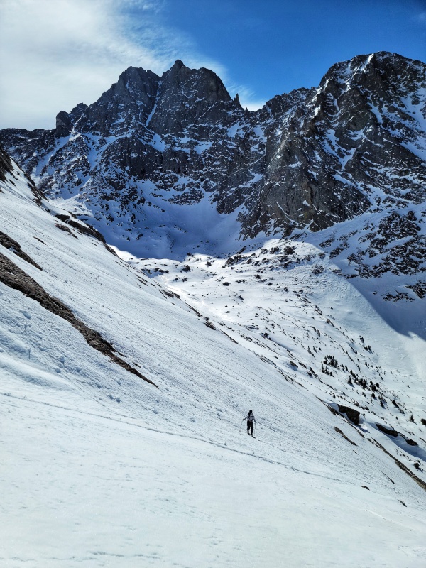
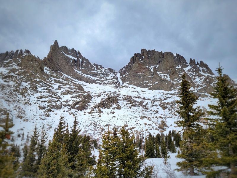
The Prow on the Left, below KC summit, Columbia Point on the Right, and Cole's Couloir in the Center. The route to the base of the Couloir is not the lower gully to the left of the couloir. It's the one to the right that's somewhat hidden by terrain features. It holds snow better than the left and is significantly less rocky. Looking Back down Towards CrestoneNot this gully. Continue a short distance further East to find the better snow line to the base of the Couloir (hidden by Columbia Point). View of Crestone Peak While Skinning to the Base of the CouloirMaking our way up the South Slopes to the Base of the Couloir
Cole's Couloir
We were lucky with our timing and had continuous snow from the basin up to the base of the couloir. There were a few rocks to navigate around, but nothing unmanageable. Snow conditions were a bit rough - there was a frozen crust on top of the snow from a melt-freeze cycle that was edgeable, but made things a bit more challenging on the steeper slopes. My partner elected to put ski crampons on before continuing higher and he had a much better time than I did. Note that the line you'll ascend to get to the base of the couloir is not readily visible when directly below the Couloir. You'll want to continue East up the basin until you see a slope to your left that seems to hold snow better than the rest of the South-Facing slope. We skinned up this slope to the base of the Couloir.
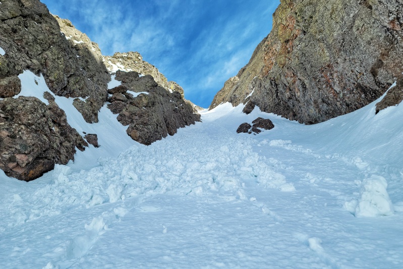
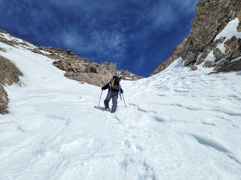
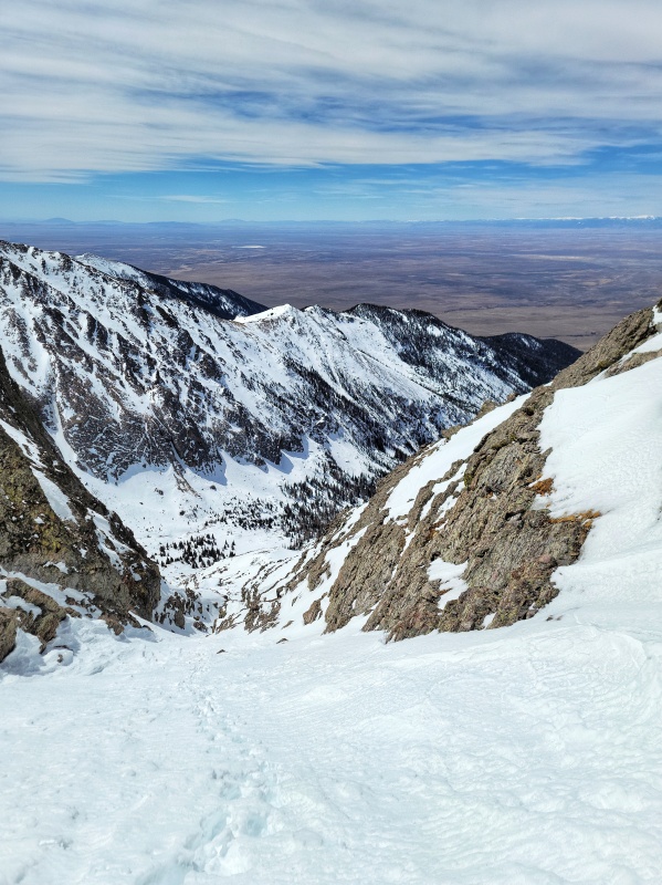
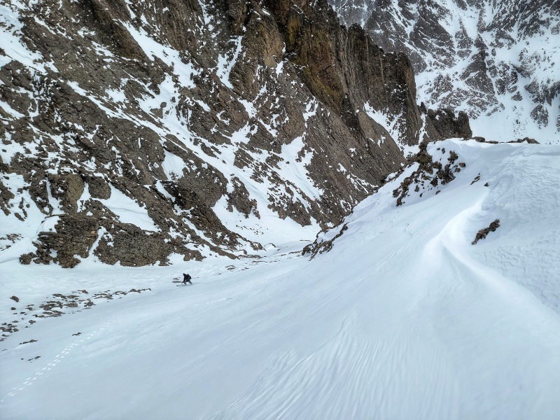
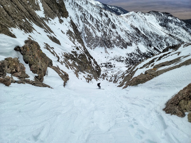
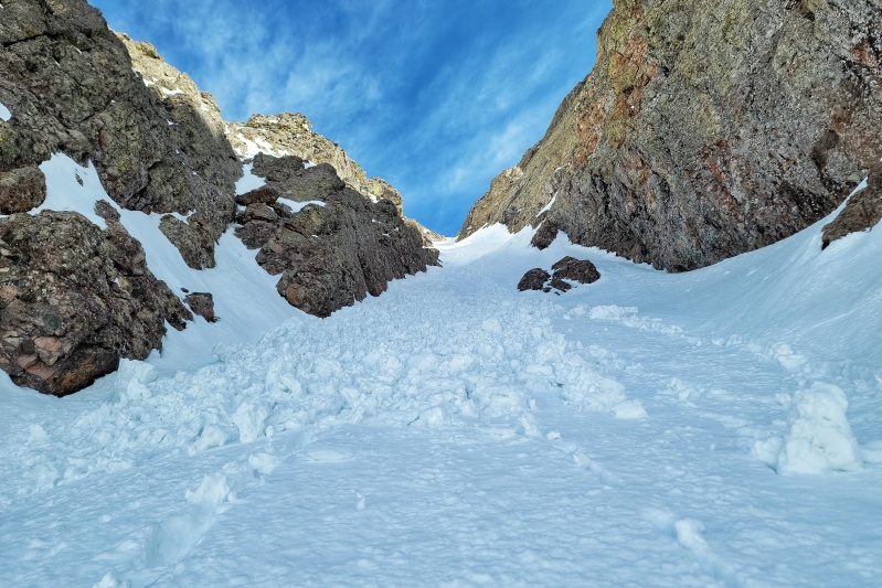
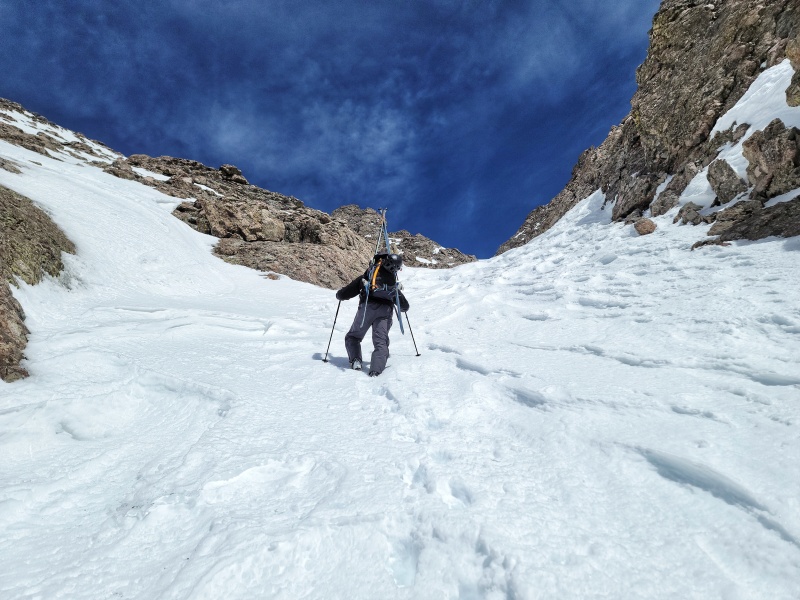
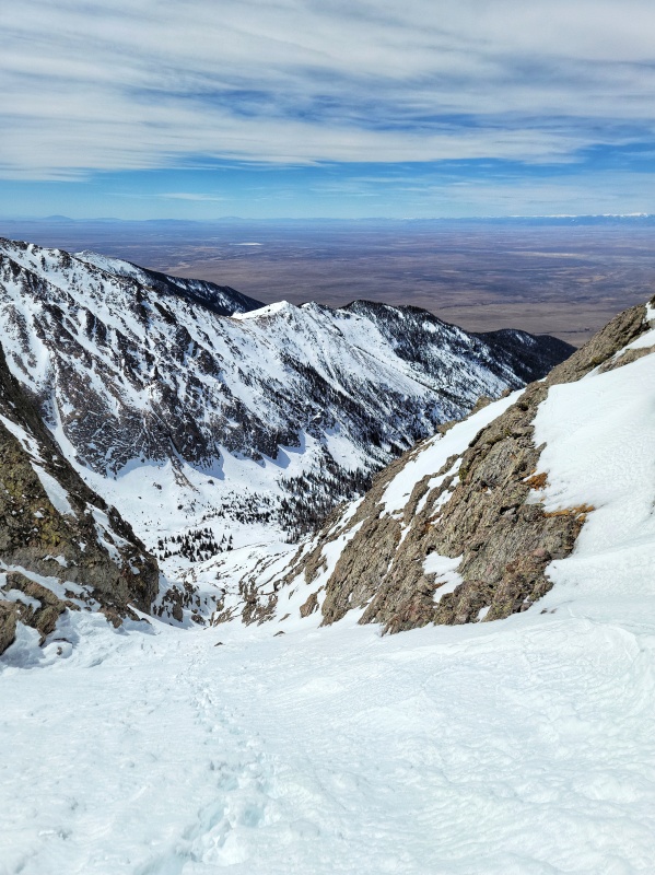
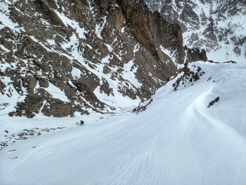
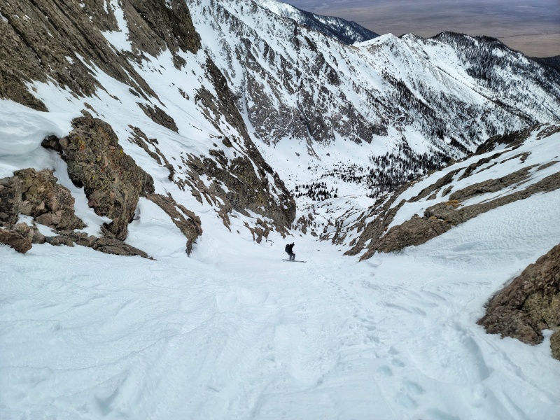
Midway Up the CouloirNearing the TurnoffLooking Back Down the Couloir
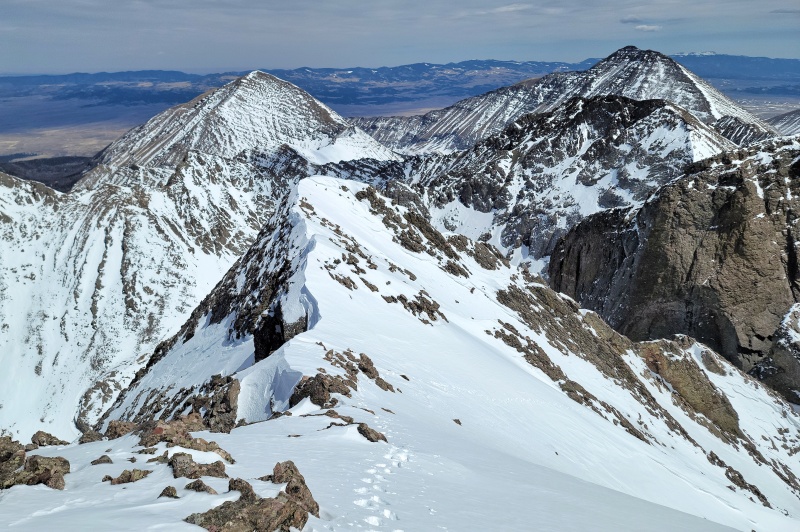
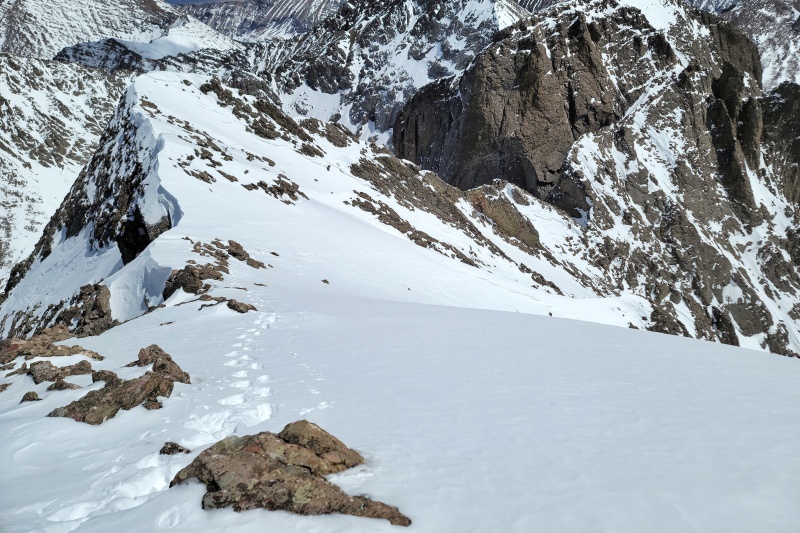
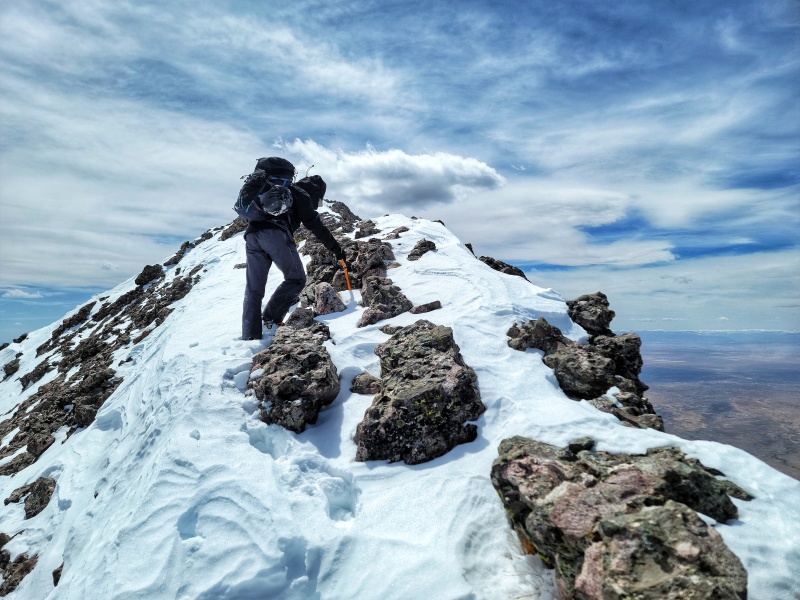
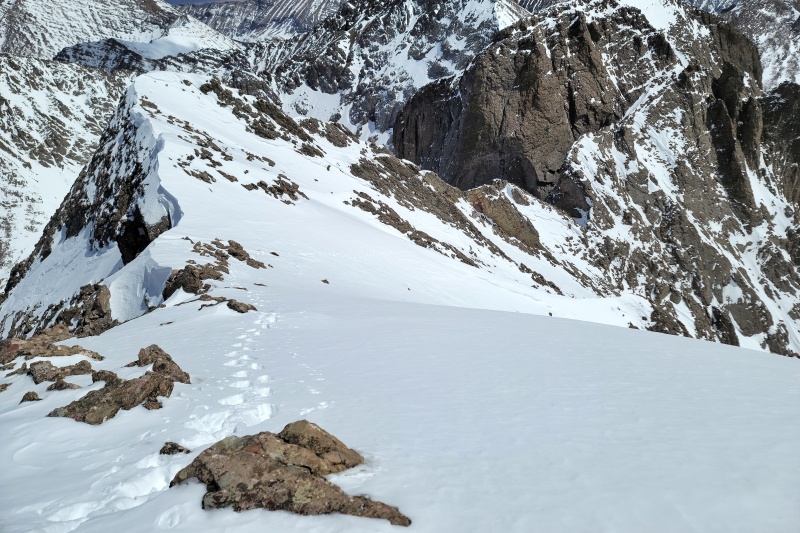
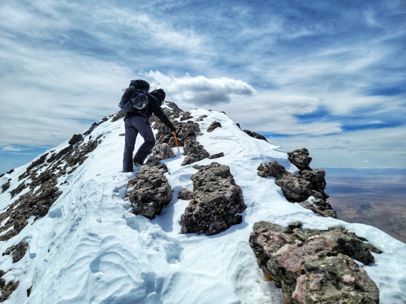
Once in the couloir, it was boot backing time. The breakable crust into shin-knee deep snow continued to prevail, making the boot pack more tiring than usual. A small wet slide from the day before and some wind-blown sections were a welcome relief and provided a solid surface to boot up. I would agree with other trip reports that the angle never really exceeded 40°, though there were some isolated pockets of stepper terrain when exiting the couloir and joining up with the standard route. After booting nearly to the top of the Couloir, you'll want to veer left up towards the summit of KC before reaching the saddle. This transition occurs roughly where The Avenue ends on the standard route and goes up the South East Gully. Follow the SE gully up to the summit ridge and continue on to the true summit. We summitted around 1:30 PM, approximately 9 hours after we had started.
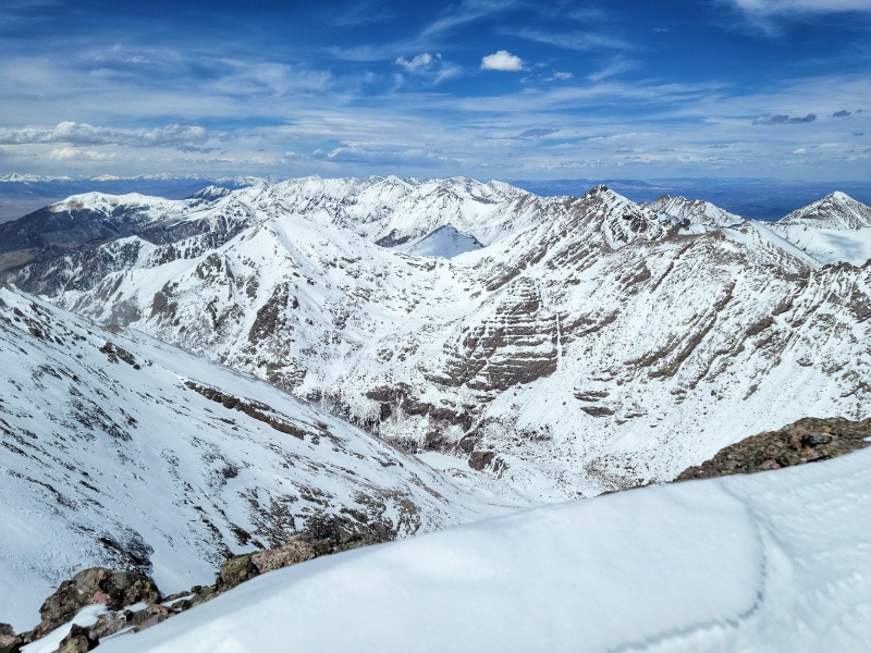
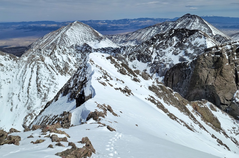
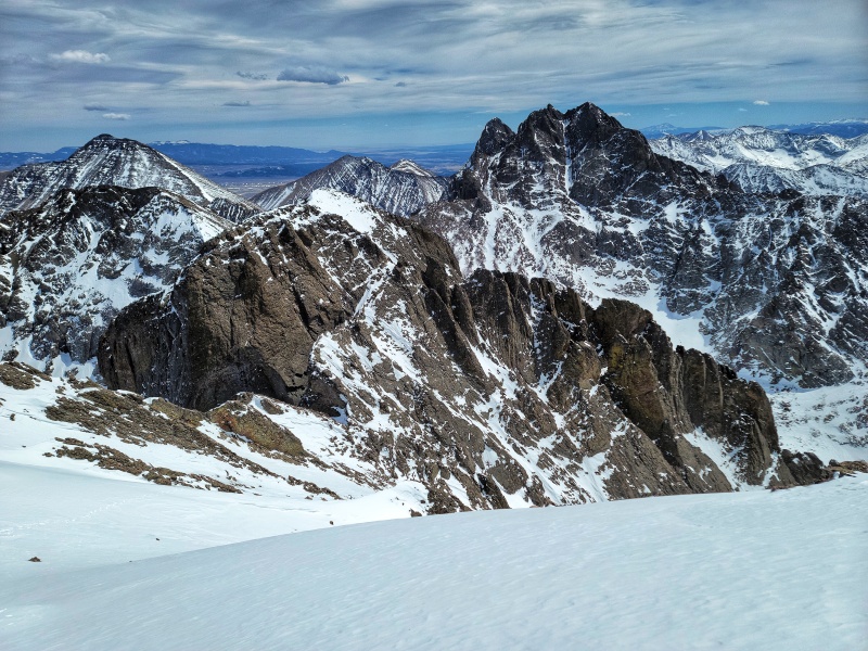
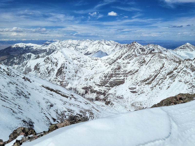
Looking Towards Humboldt (Right)Looking Down the Boot Back - Proceeds Behind and to the Left of the Snow Rib in the Middle of the SlopeSummit Ridge - Using the Ice Axe for Stability in the Gusty WindsLooking North - Some Cool Looking Ice at Willow Lake
We were able to start skiing about 10 vertical feet from the true summit around 2 PM. The upper portion of the couloir never completely thawed, which resulted in survival skiing on smooth, windblown hard pack at the top, to continued survival skiing in the couloir. Wind had shaped the snow similar to the surface of water on a windy day and the snow still hadn't softened. We continued to ski conservatively until about halfway down the couloir (past the wet slide), where things finally softened up and we were able to enjoy some soft turns and then down towards the basin. Lower down, the snow was saturated, but not rotten and still made for good skiing. We continued to meander our way through the trees and rocks down to our cache point where we'd stored the hiking boots at 11,000. From there, it was another 4.5 hours back to the trailhead. We arrived back at the car around 7 PM with the tiny matter of the remaining 3.5 hour drive home.
All in all, it was a great day in a seldom-traveled basin to ski an aesthetic line with gorgeous views of the central Sangre 14ers. It's a challenging hike to complete car-to-car in a day, but doable if you get an early enough start. It looked like the Spanish Creek Trail could also be a great way to access Bear's Playground, which I'm told has astounding views of the Crestones and KCC.
Descending Down the SE Gully into the couloirChallenging, Textured Snow
Thumbnails for uploaded photos (click to open slideshow):
Wow, well done. That's a difficult basin for sure, congratulations!
Caution: The information contained in this report may not be accurate and should not be the only resource used in preparation for your climb. Failure to have the necessary experience, physical conditioning, supplies or equipment can result in injury or death. 14ers.com and the author(s) of this report provide no warranties, either express or implied, that the information provided is accurate or reliable. By using the information provided, you agree to indemnify and hold harmless 14ers.com and the report author(s) with respect to any claims and demands against them, including any attorney fees and expenses. Please read the 14ers.com Safety and Disclaimer pages for more information.
Copyright: Route information, text, risk factors, maps, GPX files, charts, photos, 14ers.com-created map imagery, flythroughs, and other content provided in this route description are copyrighted by 14ers.com and may not be copied, reproduced, republished, distributed, modified, or used to create derivative works without prior written permission.
Please respect private property: 14ers.com supports the rights of private landowners to determine how and by whom their land will be used. In Colorado, it is your responsibility to determine if land is private and to obtain the appropriate permission before entering the property.