Download Agreement, Release, and Acknowledgement of Risk:
You (the person requesting this file download) fully understand mountain climbing ("Activity") involves risks and dangers of serious bodily injury, including permanent disability, paralysis, and death ("Risks") and you fully accept and assume all such risks and all responsibility for losses, costs, and damages you incur as a result of your participation in this Activity.
You acknowledge that information in the file you have chosen to download may not be accurate and may contain errors. You agree to assume all risks when using this information and agree to release and discharge 14ers.com, 14ers Inc. and the author(s) of such information (collectively, the "Released Parties").
You hereby discharge the Released Parties from all damages, actions, claims and liabilities of any nature, specifically including, but not limited to, damages, actions, claims and liabilities arising from or related to the negligence of the Released Parties. You further agree to indemnify, hold harmless and defend 14ers.com, 14ers Inc. and each of the other Released Parties from and against any loss, damage, liability and expense, including costs and attorney fees, incurred by 14ers.com, 14ers Inc. or any of the other Released Parties as a result of you using information provided on the 14ers.com or 14ers Inc. websites.
You have read this agreement, fully understand its terms and intend it to be a complete and unconditional release of all liability to the greatest extent allowed by law and agree that if any portion of this agreement is held to be invalid the balance, notwithstanding, shall continue in full force and effect.
By clicking "OK" you agree to these terms. If you DO NOT agree, click "Cancel"...
With the snow and and cold weather this week, I realized that I had to change my goals. Doing the Little Bear -> Blanca -> Ellingwood traverse was no longer in the picture. Staying home appeared like the only option. Or was it?
After substantial consideration, I realized that a closer target might still be in reach. The avalanche conditions (see also below) did not bode well, but at least the drive was going to be short and I had the time to look around the mountain and make a game-day decision whether the ascent was worth the risk. So a plan was hatched: Mount Driveway it was going to be. All the way to its top at 4,925 feet of elevation.
I spent a good part of the night before trying to find route descriptions. The internet turned up little helpful information for winter ascents. There are rumors that Ken Nolan may have attempted the south face in 2004, but was turned around by treacherous snow conditions. From what I could gather, he has apparently never talked about it publicly, as one can only find second-hand information about this. Interestingly, I could also not find anything about summer ascents -- in hindsight, that might have been a sign I should have listened to. (But then, a sign for what?) In any case, I decided to give the NW ridge a try. It was clearly going to be difficult, but there is no glory in not even trying.
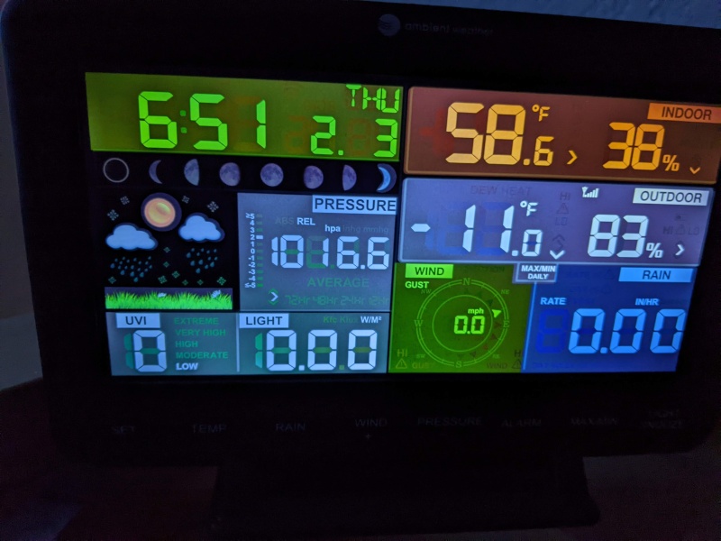
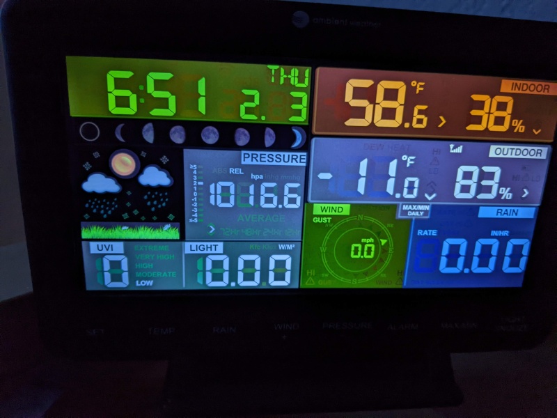
With bags packed, I got up early. A first attempt at an alpine (i.e., 7am) start was scuttled by a look at the temperature my weather station showed: -11F.
No 7am start as planned. A later start would have to do.
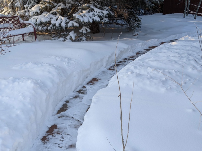
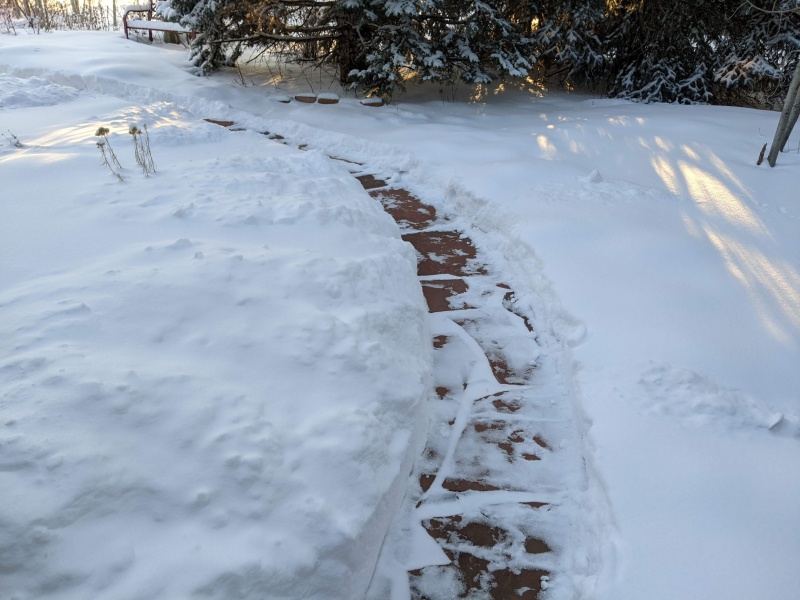
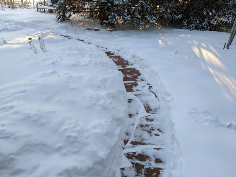
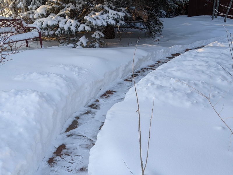
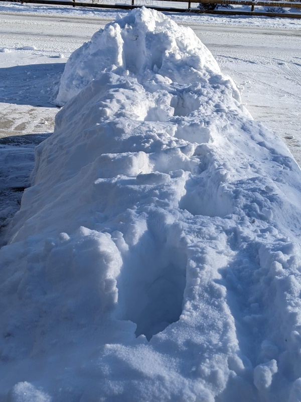
I did in the end get going a couple of hours later. That put me substantially behind schedule, but I thought that with a brisk walk, I might be able to make up for it. Once on the way, and still below treeline, I found that the trail to the base of the mountain had a nice trench already:
A nice trench, lending itself to a quick hike to the base of the mountain.More of the trench.
It was entirely unclear to me at the time who might have made such a nice trench to the beginning of the climb of such an obscure mountain, but I later learned that John Balciar in his attempt to climb all peaks in all months had been here the day before. The trench was undoubtedly his work. It was much appreciated. The trail eventually petered out, however; he must have not summitted that day.
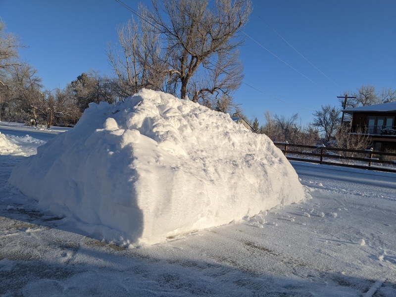
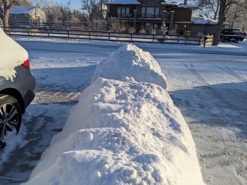
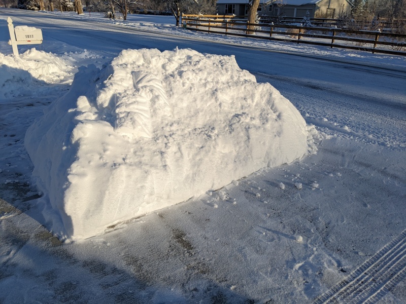
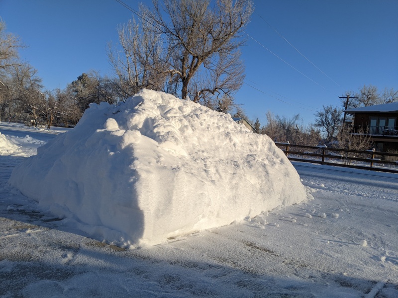
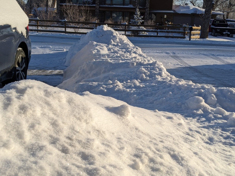
Arriving in the basin at the base of the mountain, the goal looks imposing:
The goal: Stand atop this brute!
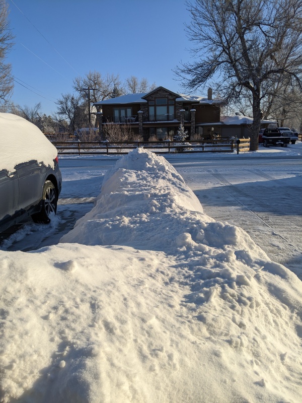
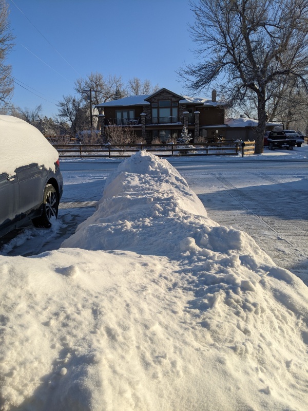
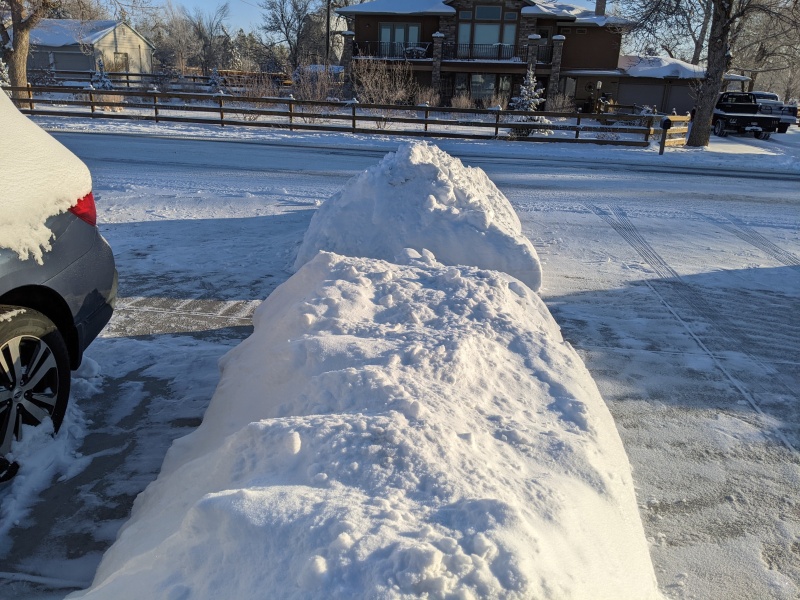
Even more so the way to get there. The south face I mentioned before, illuminated by the sun in the picture above, is clearly out of reach. I don't know what Nolan might have thought when he attempted it. It looks like sheer madness. I decided to give the NW ridge a try instead. It is long, and fairly narrow, and there is quite a gash in the ridge before one reaches the summit block, but I thought it probably goes. Here are two angles:
The full length of the NW ridge.Another view, when I was already on the ridge.
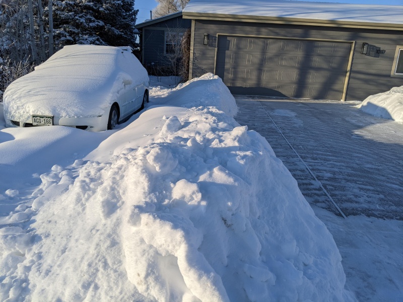
It is clear from these pictures that the ridge runs all the way to the summit, except for the nasty gash close to its end where one has to first downclimb before hitting the summit block. What's also clear is that (i) the ridge is quite narrow, maybe 2-3 feet wide only, (ii) both sides are steep and any misstep would probably not be good. It is obvious that a slip would lead to a fall onto the valley floor that given the below-zero temperatures must surely be frozen as hard as cement. It is also easy to imagine that this material is not very stable and that avalanches could go down either side at any moment. Some sloughing could already be observed during the approach, though that might not be obvious from the pictures.
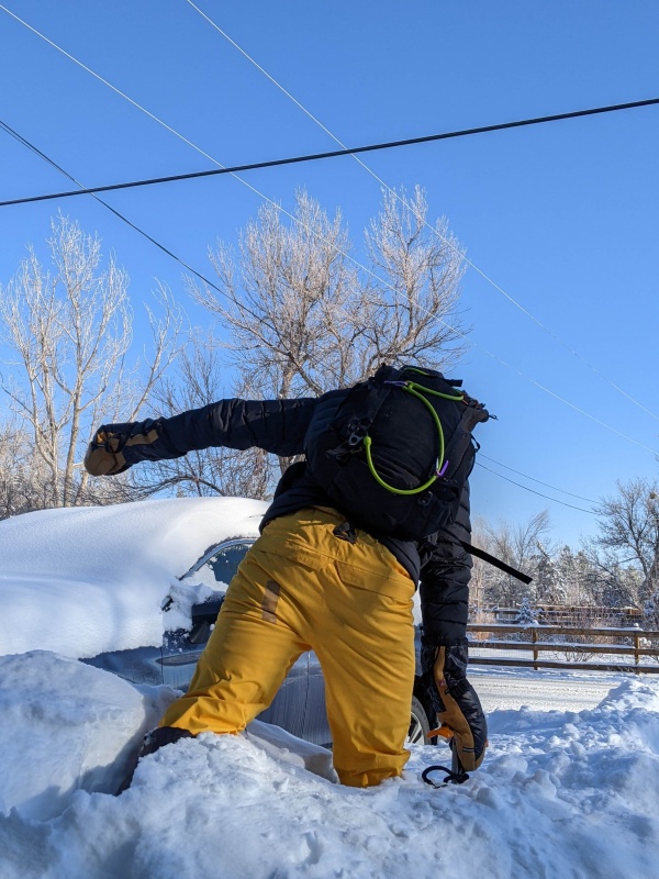
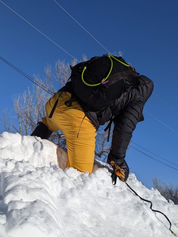
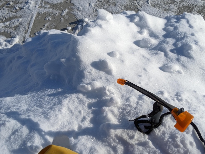
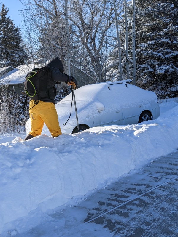
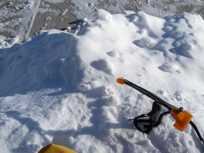
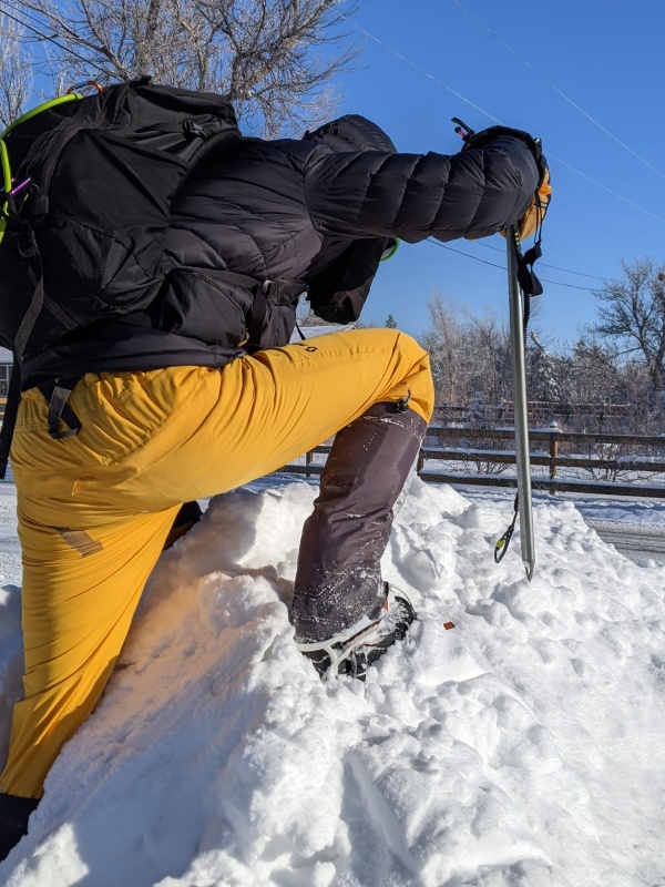
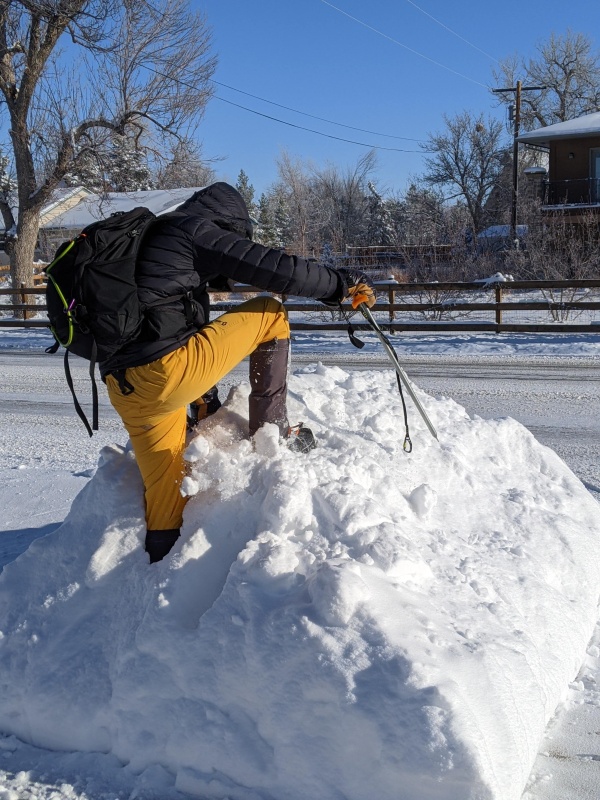
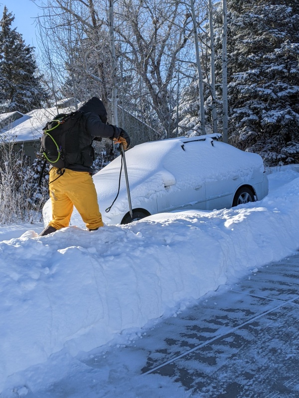
With this in mind, and razor focused on the task, I took to the work. It required a lot of postholing in overall not very stable material:
Postholing 1.Postholing 2.
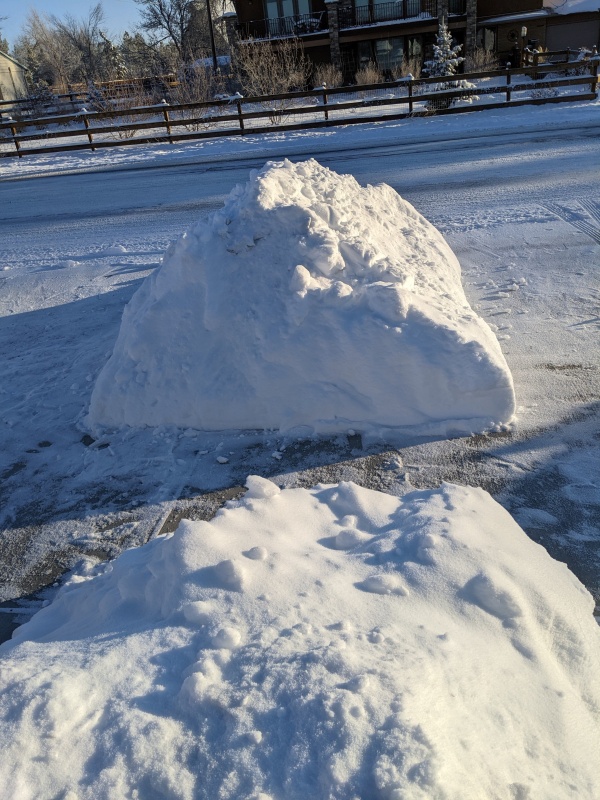
Having crampons on and an ice axe was useful, though the axe had a tendency to just disappear in the loose snow. It occasionally felt like my feet went all the way down to the bedrock below the snow. It was precarious, but not excessively risky. The crux of the climb came at the end of the ridge, where one has to downclimb before ascending the summit block:
Looking down the downclimb.
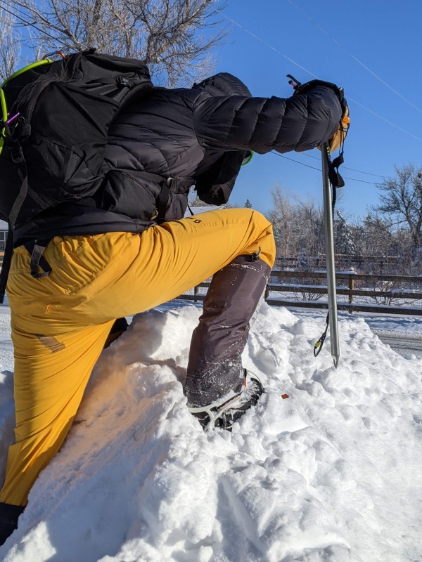
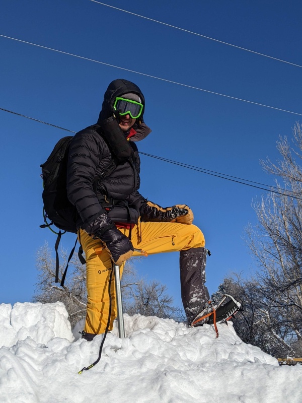
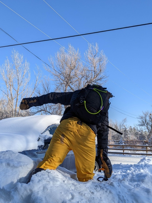
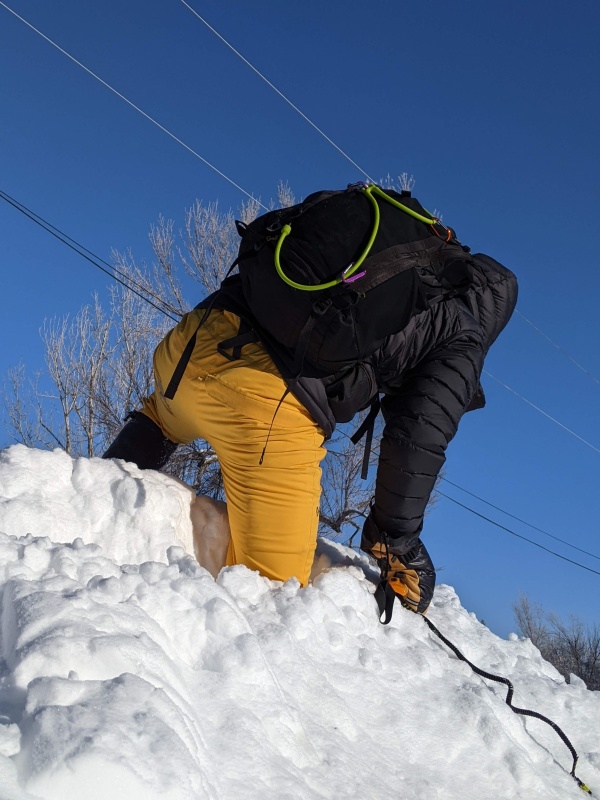
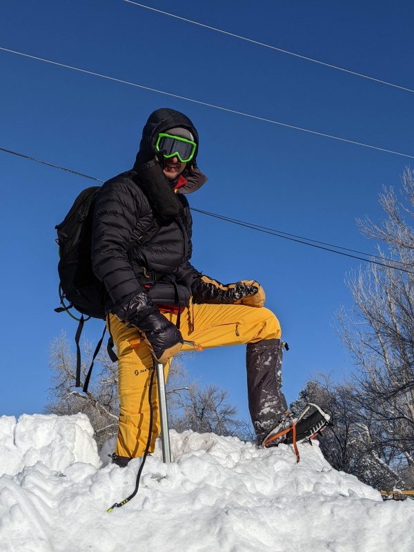
The picture does the steepness and depth of the downclimb no justice. But I was almost there! After another sustained effort on the slopes of the summit block, I finally reached the top and, as one does, struck the necessary mountaineers' victory pose:
Ascent of the summit block.Success!
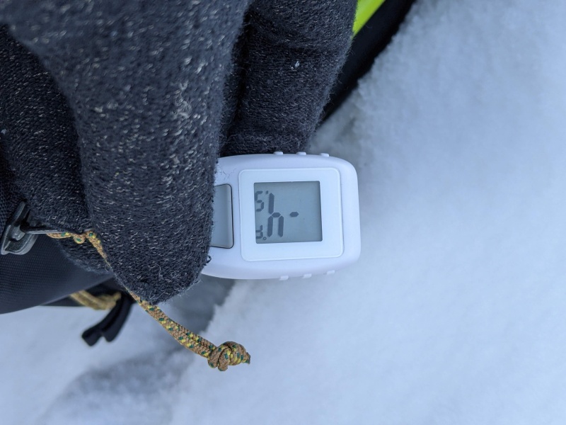
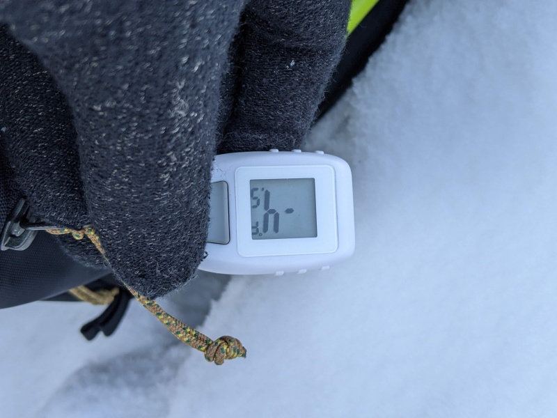
I have learned from one of my heroes (Will E.) that it is important to document the summit temperature. So here it is: -4.5F.
Summit temperature.
There remained the arduous task of returning to my starting point. I chose a different way back. Crossing a short saddle (the locals often call it "the driveway"), the SW ridge runs approximately parallel to the NW ridge back to the starting point. It provided a decent descent option, although to my disappointment, it ended up being equally deeply covered in snow:
Return on the SW ridge.
From there, it was just a quick walk back on the previously trenched trail. Overall, despite the cold weather, not a bad outing for the altitude-addicted. I hope that this trip report also serves to document that Mount Driveway is a worthwhile target, as well as provide pointers for possible ascent routes to others. As I mentioned, I could not find much information about previous winter ascents (and none about summer ascents) of Mount Driveway; as a consequence, I will also posit this report as proof of first ascent of this mighty giant of eastern Fort Collins!
Statistics:
Round-trip distance: Approximately 150 ft
Total ascent: Maybe 8 ft, including all undulations?
Round-trip time: 14 minutes, including posing for picture.
(Credit for some of the pictures: My wife, working in what can only be described as adverse conditions!)
Thumbnails for uploaded photos (click to open slideshow):
@MaryInColorado: The wife was a good sport with it, and that's particularly true because fingers tend to become quite cold taking lots of pictures when it's -4F.
@TomPierce: The grid idea has something going for it. I suspect that the months of June to September will be the challenge!
@arthurtect: Only winter access.
@Jay521: Good point. I simply forgot :-(
@Will_E: I didn't just dig a pit, I bisected the whole mountain's ridge!
Personally, I love the physical challenge and the process of setting goals and training hard to obtain them.
There's of course nothing wrong with someone who feels a great spiritual significance from being in nature (although as an aside, if simply looking at nature is considered a great spiritual experience I think that demonstrates an incredibly lacking spiritual life).
Regardless, while that's perfectly fine, it doesn't really do me any good to read someone trying to type out vague notions of their spiritual experiences. I want to read about the conditions, dangers, route finding info, etc. things that will prove valuable.
So I wouldn't say I "make fun" of people who do it, rather, I just point out that, to me personally, it's pointless.
Thanks for sharing these unforgettable photos of the hair-raising ascent route & awe-inspiring summit view. The photo of you striking the obligatory summit pose high in the thin, cold air is truly magnificent. Any chance you might consider having posters made for purchase by the general public?
As you noted, the sheer cliffs of the South Face present a daunting challenge. Would you ever consider returning to the mountain to tackle this formidable route? If so, I'd love to tag along. Keep the faith, and keep up your visionary climbing adventures!
Awesome report! The funniest thing I have read in years.
Caution: The information contained in this report may not be accurate and should not be the only resource used in preparation for your climb. Failure to have the necessary experience, physical conditioning, supplies or equipment can result in injury or death. 14ers.com and the author(s) of this report provide no warranties, either express or implied, that the information provided is accurate or reliable. By using the information provided, you agree to indemnify and hold harmless 14ers.com and the report author(s) with respect to any claims and demands against them, including any attorney fees and expenses. Please read the 14ers.com Safety and Disclaimer pages for more information.
Please respect private property: 14ers.com supports the rights of private landowners to determine how and by whom their land will be used. In Colorado, it is your responsibility to determine if land is private and to obtain the appropriate permission before entering the property.