| Report Type | Full |
| Peak(s) |
Rio Grande Pyramid - 13,825 feet |
| Date Posted | 01/06/2022 |
| Date Climbed | 07/05/2021 |
| Author | hellmanm |
| A (Rio) Grande solo adventure to hide from 4th of July crowds |
|---|
|
This was one of my better ideas of the summer -- the only downside was that it reinforced my compulsion to get to the San Juans whenever possible. 7 trips from CO Springs and back in 1 year seems excessive... but then again, it's probably no more ridiculous than walking up big hills at 3 in the morning. I'm trying to make some progress on the centennials as I work my way through the 14ers, and on 4th of July weekend I was afraid of the swarm of people that would cover so many 14er routes. I know that it's hypocritical to whine about a problem to which I contribute, but hey, there are worse flaws out there. I hadn't had a solo adventure in a while and wanted to get away from my terrible job. So, what to pick? San Juan, non-14er, long route, more researching required? Check, check, check, and check. Oh, and it's 2wd accessible! I'm running out of 14ers that don't require 4wd to access, so this was another bonus. And, since it's only class 2+, I felt comfortable going alone. As usual, I took too long getting out of my apartment. What had initially been a plan to start hiking around noon and go 7-8ish miles before setting up camp, turned into an exercise in improvisation. My forecast was perfect until around 11 the next day and I got lazy. I didn't start on the trail until 6PM. Still, I found a reckless way to make it work -- instead of bringing my 50+ liter pack and a summit pack, I took my 35L. The only problem was... I couldn't pack my tent setup very well. So, I decided to see what it was like sleeping in an emergency bivy. I loaded up my sleeping bag and bivy and set off. 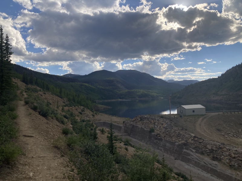
I had great route info thanks to a couple of fantastic trip reports. I relied primarily on reports from SnowAlien and WildWanderer, so big thanks to both of ya! And, since it was empty out there, I doused myself in sunscreen whenever possible. I walked around on day 1 like pale-faced weirdo, but I was NOT going to get sunburnt. One thing I noticed immediately, though, was just how alive the Weminuche felt. I swear I found every wildflower in CO over the course of the trip, along with all sorts of shrubs, birds, animal tracks...etc. I really felt like I was in the wilderness. It was a little scary, but it was such an escape from the everyday. The trail to camp was relatively uneventful, but very easy to follow. It was gorgeous though. It's hard to describe this whole area, but it just feels different than so many 14er routes. I hiked 5 miles to "Weminuche Pass", which is really more like a couple of sticks. It's mostly flat, though, and I made great time. I even had a little bit of light to set up camp. There are a few spots that are clearly where everyone sleeps; the backpackers do a decent job of not spoiling the tundra. Oh, and there's a creek nearby for easy water access. 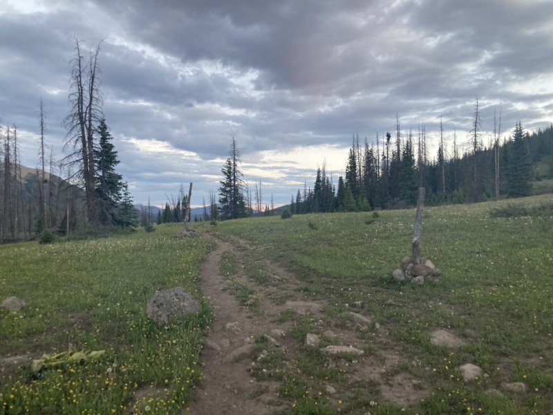
This was where things got a little interesting. I pulled out my bivy, put my sleeping bag in it, and went to hang my food from a tree. I'm... not good at that. I basically took my REI stuff sack (aka food bag), put a rope through it, and looked for a branch that extended away from the tree but could hold the bag's weight. I tossed my bag with the confidence of a D3 thrower and hurled the thing over my branch. One problem... the bag got caught. Maybe after 5+ years of not throwing, my arm strength just wasn't there. So, I did the logical thing for a washed-up thrower to do... I angrily yanked on my rope until the bag came down... and ripped the clip off that allowed the bag to close. Super. I had to make do with threading the rope through the remaining buckle and just tossing it up the tree in a place that would be easy to bring down in the morning. If a bear wanted it, and was willing to climb 15 feet, then it would have earned the meal. I just wanted to get to bed. I climbed into my bivy/bag and realized how much not having the tent to insulate me from the ground would suck. Also, something about being out of a tent left me feeling totally exposed and vulnerable. I'd be easy pickings for a bear/mountain lion/crazy person even in a tent, but this somehow felt way more dangerous. I was warm enough to be safe, but "comfortable" would be a stretch. Still, there was a benefit to not sleeping well. I saw my first meteor shower that night. The stars were brighter than just about any I'd seen, and little meteors would briefly grace the sky and then disappear. I saw one travel all the way across the horizon. It was a magical night, and I felt very alive. The next morning, I got up around 3:30AM(ish). There are two good ways to summit RGP from Weminuche Pass -- the Skyline trail, and the Rincon La Vaca trail. I went up the Skyline and down the RLV. Each has its perks and pitfalls, and I'll try to highlight both. The skyline trail, first of all, is not maintained and has been largely reclaimed by nature. It is NOT easy to follow in the dark. It's the more direct of the two options though. It starts out easy... but then fades intermittently once some elevation has been gained. Thank goodness for GPX files and well-charged phones. Even with technology at my side, I spent the early hours of the morning bushwhacking over/around big trees on a steep hillside. It's tough to see RGP from the early skyline trail, and you have to trust your research/technology a little in order to stay en route. Still, the sunrise was magical. Eventually you come into more open terrain and get your first view of the Pyramid, so far away. 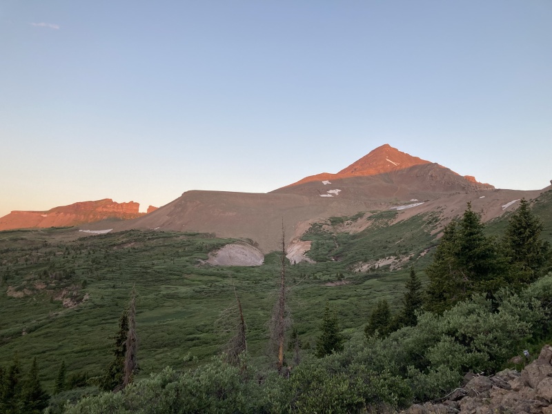
And then... more suffering. When the bushwhacking relents, the trail comes back. RGP starts to actually seem a normal distance away. BUT, it's time for the willows to start. You pop out of the trees and realize what lies ahead. Honestly, I felt really lucky in this section. I found what appeared to be a game trail nearly all the way through the willows. I barely got wet, never really got lost, and honestly had a grand time compared to what I was expecting. Still, the willows are LONG (and can get tall in summer too). If you end up on the wrong path, you can easily waste a ton of time here. Choose your route carefully. 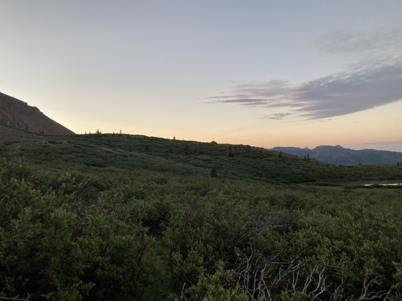
When the willows end, more fun ensues! bushwhacking, willows, and.... up next, scree! You have to ascend a loose slope for a little while in order to gain the ridge on RGP. Here are some closer-up views: 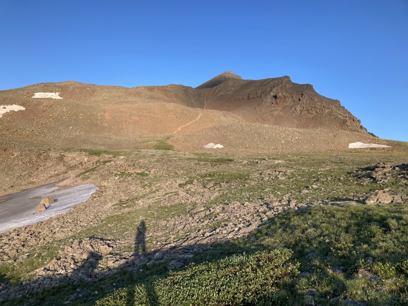
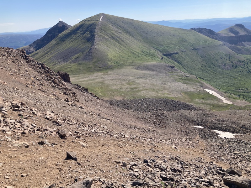
This was not dangerous scree, but there was a little bit of "2 steps forward, one step back" going on. It's best to accept that it'll be a little slow. Trying to rush things just leads to burnout (that is, for folks who are in mediocre shape like me... maybe a better-conditioned person could go fast). Still, I felt like I was making okay time. Once you're done with the scree, the summit is FINALLY close. This route is over 20 miles RT car-car, and even though the elevation gain is very mild (4200-ish), it's still a lot of steps. I was ready for the summit pitch though. It was class 2+, and I took the most scrambly lines I could find through the steep boulders. It's a little loose here though (but bomber by San Juan standards...), so it's important not to get careless. Finally, after sleeping in a bivy, bushwhacking in the dark, willow-bashing, scree-stumbling, and boulder-hopping, I summited around 8:30AM. 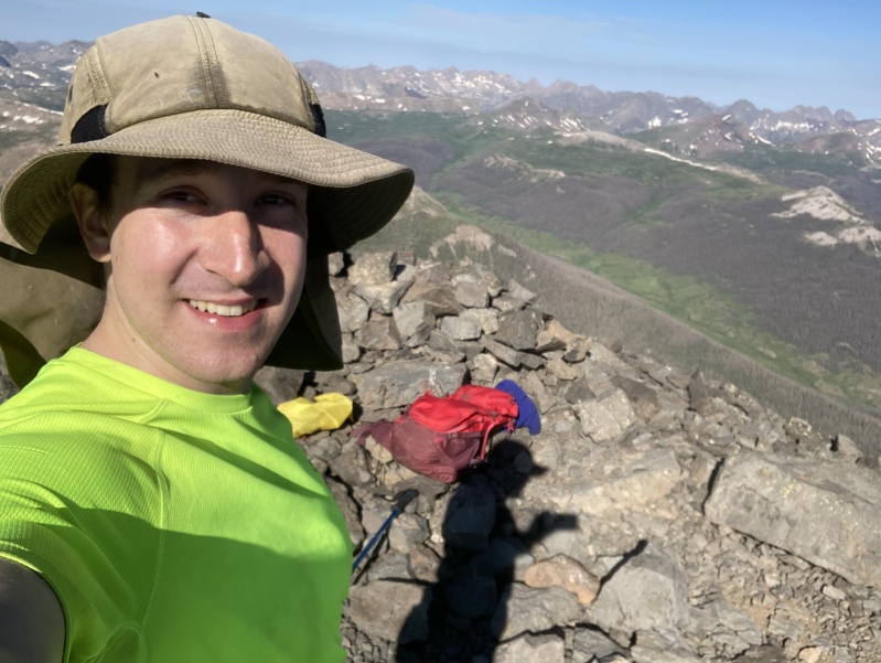
The summit of RGP is an interesting place. The views to "Window Peak" are fascinating, and so is a lot of the geology in this area. The rocks by the summit pitch seem volcanic (I don't know if they are though), and it just feels like a different world compared to a lot of summits. There are no cars or trailheads visible, but there are dozens of peaks around. Some of the more reclusive ones, like the Vestal Group or the Nebo Creek 13ers, are visible here. Oh, and the beetle kill is SO evident. Entire forests are just... decimated. This would be a VERY bad place to have a fire go awry. 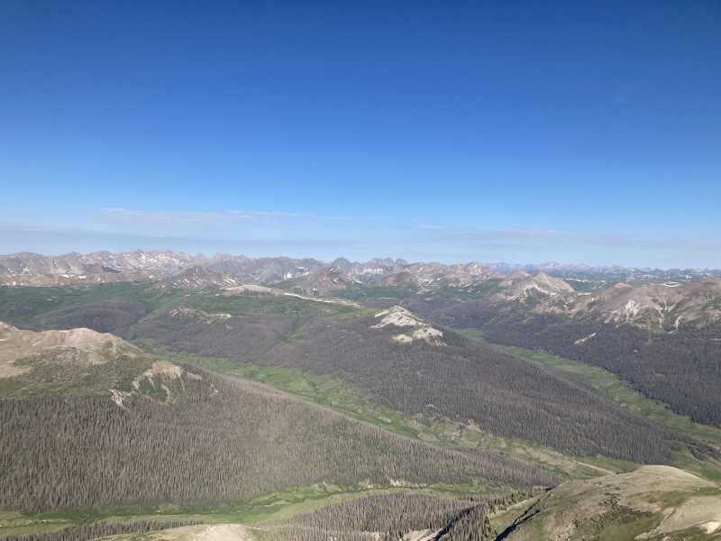
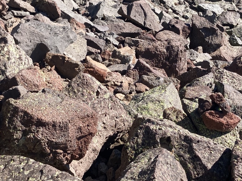
The way down was, surprisingly, not a slog. Well, at least, not at first. The summit descent and scree-skiing are fun, and so is looking for the turnoff for the Rincon La Vaca trail while hoping not to get lost in the Willows. I think I may have missed an initial turn, but I got there eventually. The RLV trail, unlike the Skyline trail, is very easy to follow and has a more leisurely grade. But, it's longer. I took some time to stop and take photos. 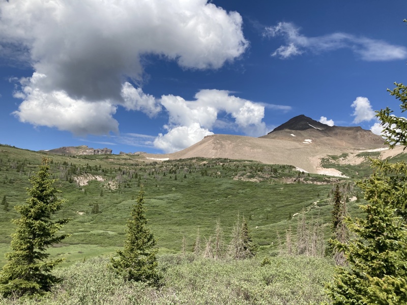
But, alas, I screwed up. I put my bear spray down while refilling my water bottles (there's a very nice stream on the RLV trail higher up), and returned to an empty holder. I looked all around the area, but I think it must have fallen out and into the stream. I felt like utter trash. I had polluted one of the most pristine areas. I hated myself for it and felt like the mountain gods would curse me for it. I certainly had some scary times later in the year, so that may have been their revenge. Anyway, if you find unopened bear spray somewhere in the area next year, it's all yours. Please take it out with you if you can. I'm sorry, internet world. Seriously. I fucked up. 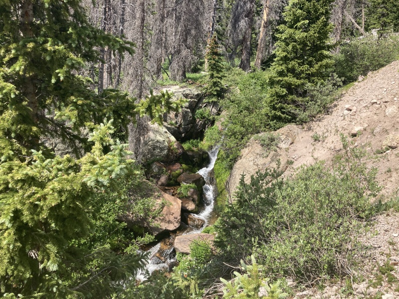
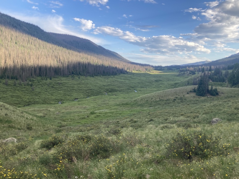
Anyway, I tried not to let this ruin my mood as I descended. The trail started to drag on, but I found myself in MASSIVE fields of flowers as I descended. Once you've lost some elevation, you get back to these wide open areas similar to ones from the hike in. The San Juans are just different. I hadn't fully understood up until this point, but it was July 5, I had the whole basin to myself, and it was just unreal: 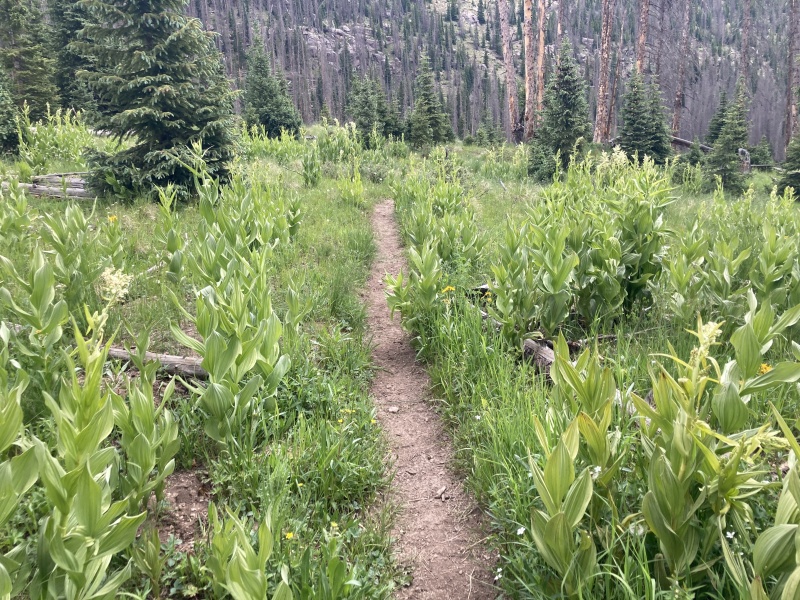
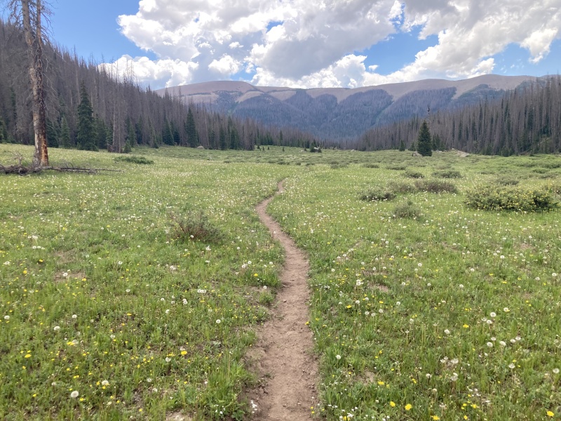
But, all good things must come to an end... especially miles away from the TH. What had been an otherwise perfect weather day soon turned sour. As I walked through the fields, clouds started to build. I finally came to the intersection of the RLV trail and the main one that led back to the TH, but clouds were building rapidly. I still had about 3 (flat) miles to Weminuche Pass too, where I would have to pack up my bivy. It was around this point that fatigue started to kick in. Those hours of not sleeping were catching up, and even though I had water, I was starting to run low. I had planned my water carefully, but these things just require a lot. I had brought 2 liters, and they lasted from camp-summit-refill on the RLV trail. I was very thirsty by then, and so I had spent a lot of the RLV trail rehydrating. So, with 3 miles to go, I was running on fumes away from a potential storm. Not great. 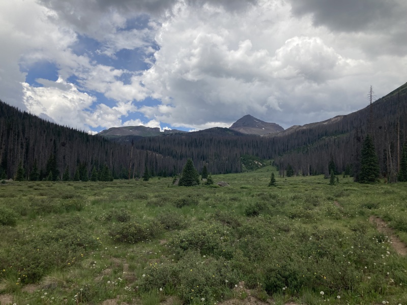
Still, nothing breeds efficiency like fear, and I arrived back camp with an eye on the sky the whole time. A few raindrops had started to fall and I knew that resting at camp was not a good idea. I filled up my water bottles, briefly said hi to the two other tents in the area (which now had people in them), and set off for my car. Now, I have to say, this season was a grand display of luck for me. I've run from a few storms and have somehow avoided getting rained on in nearly all of them despite having clouds right over me. The one time it did rain, there was no lightning. Still, it was early July and I didn't know how lucky I'd be in the next few months. There was lightning right across the valley as I made my way down, and I wanted to get through the wide open fields before things really opened up. Unfortunately, though, the storm had caught up to me and started dropping lightning bolts right where I had to walk towards. I was a little apprehensive. Still, I was below treeline and could find shelter if I had to. 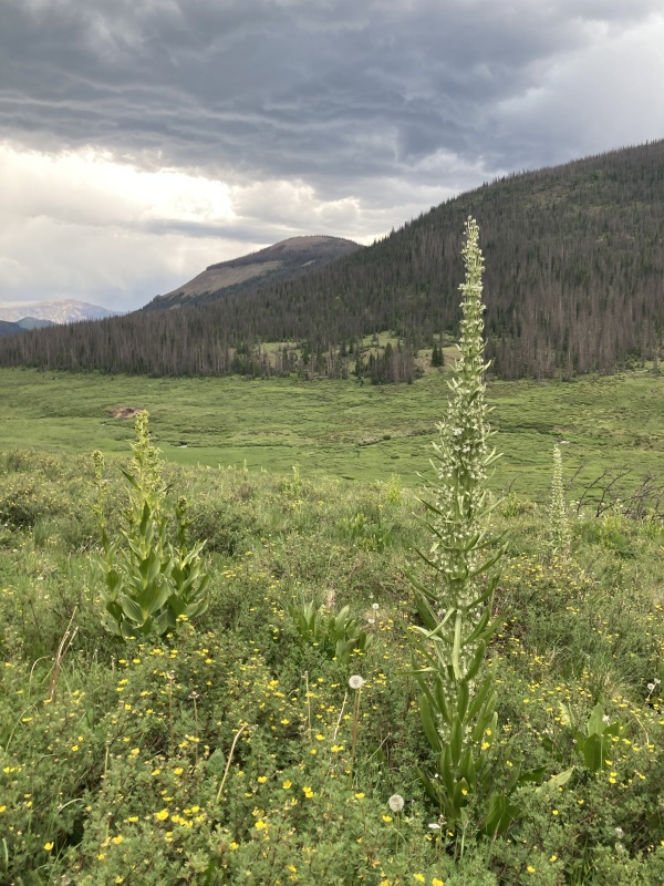
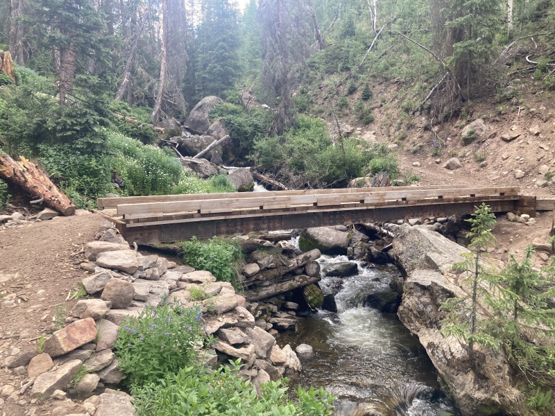
The mountain gods had forgiven me, though, at least for a day, and I made it back to the bridge pretty darn dry. I wore my raincoat but barely needed it. After that, it was just a few miles of columbine-hopping (seriously, the lower trail is covered in columbine groves) back to the TH. These last few miles were a total slog. After the fun descent, guilty mile thanks to my bear spray screw-up, flower fields, and storm-dodging, I was ready to be done. I really didn't want to have to drive back home either. But, I had work the next day and there wasn't much of an option. I slogged, and stopped to rest, and slogged, and stopped again... more times than I can count. I was gassed. But, I made it mid-afternoon. The whole trip, despite being full of adventure, took less than 24 hours car-car. I nearly fell asleep on the drive back, and I had to stop in Alamosa just to nap. The rain found me then. I got soaked crossing the street to a restaurant in town, and I just rested for a while. Still, a few more tired hours of driving, and I made it home. This was an amazing trip, and one I'd highly recommend to anyone who loves getting out/about. The solo aspect was scary and exhausting, but also so fulfilling. I felt very alive. I wish I had slept more, as the sleep deprivation did dull some of the sensations, but this was still a spectacular trip to a beautiful part of the state. Thanks for reading! P.S. This is a random thought, but does anyone know if RGP's Flame-Grilled Wraps (Durango) is named after Rio Grande Pyramid? I want to believe that the answer is "yes". Just like this peak, the experience at RGP's doesn't disappoint. |
| Comments or Questions | |||||||||
|---|---|---|---|---|---|---|---|---|---|
|
Caution: The information contained in this report may not be accurate and should not be the only resource used in preparation for your climb. Failure to have the necessary experience, physical conditioning, supplies or equipment can result in injury or death. 14ers.com and the author(s) of this report provide no warranties, either express or implied, that the information provided is accurate or reliable. By using the information provided, you agree to indemnify and hold harmless 14ers.com and the report author(s) with respect to any claims and demands against them, including any attorney fees and expenses. Please read the 14ers.com Safety and Disclaimer pages for more information.
Please respect private property: 14ers.com supports the rights of private landowners to determine how and by whom their land will be used. In Colorado, it is your responsibility to determine if land is private and to obtain the appropriate permission before entering the property.
