Download Agreement, Release, and Acknowledgement of Risk:
You (the person requesting this file download) fully understand mountain climbing ("Activity") involves risks and dangers of serious bodily injury, including permanent disability, paralysis, and death ("Risks") and you fully accept and assume all such risks and all responsibility for losses, costs, and damages you incur as a result of your participation in this Activity.
You acknowledge that information in the file you have chosen to download may not be accurate and may contain errors. You agree to assume all risks when using this information and agree to release and discharge 14ers.com, 14ers Inc. and the author(s) of such information (collectively, the "Released Parties").
You hereby discharge the Released Parties from all damages, actions, claims and liabilities of any nature, specifically including, but not limited to, damages, actions, claims and liabilities arising from or related to the negligence of the Released Parties. You further agree to indemnify, hold harmless and defend 14ers.com, 14ers Inc. and each of the other Released Parties from and against any loss, damage, liability and expense, including costs and attorney fees, incurred by 14ers.com, 14ers Inc. or any of the other Released Parties as a result of you using information provided on the 14ers.com or 14ers Inc. websites.
You have read this agreement, fully understand its terms and intend it to be a complete and unconditional release of all liability to the greatest extent allowed by law and agree that if any portion of this agreement is held to be invalid the balance, notwithstanding, shall continue in full force and effect.
By clicking "OK" you agree to these terms. If you DO NOT agree, click "Cancel"...
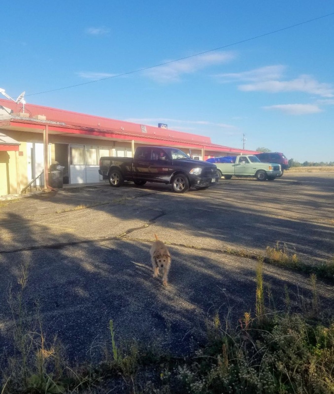
Our day started from the town of Walsenberg at the Spanish Peaks Inn. Normally we would have slept at the trailhead, but instead, decided to treat ourselves to a good nights sleep. It's definitely not the best hotel, but it was cheap, dog friendly and did the job. The rooms, although spacious, were in desperate need of renovations and there didn't seem to be any wifi. All and all though, it worked out pretty well and we woke up the next morning ready for a big day.
Spanish Peaks Inn
Day of Climb: Sunday October 3rd, 2021
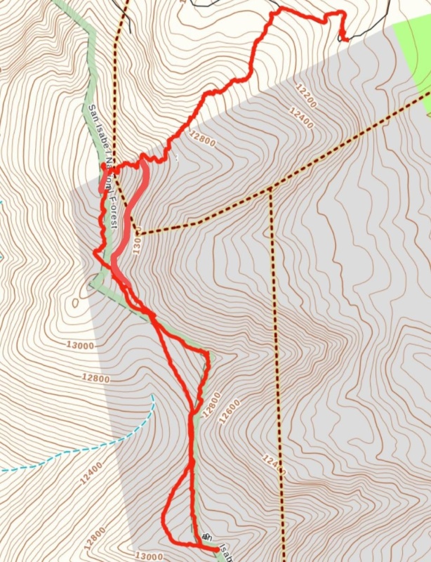
Trailhead: Forest Service Road 436
Peaks: Trinchera Peak, Leaning South Peak and Leaning North Peak
Route.
The drive from our luxurious motel to the start of Forest Service Road 436 didn't take long and was beautiful. We decided to take advantage of this 4wd road and took it as high as possible.The road was actually very well maintained and we didn't have a problem getting my truck to 11,900 feet where we parked to start our climb. There were a couple of spots early on where clearance was needed, but otherwise, the road wasn't so bad.
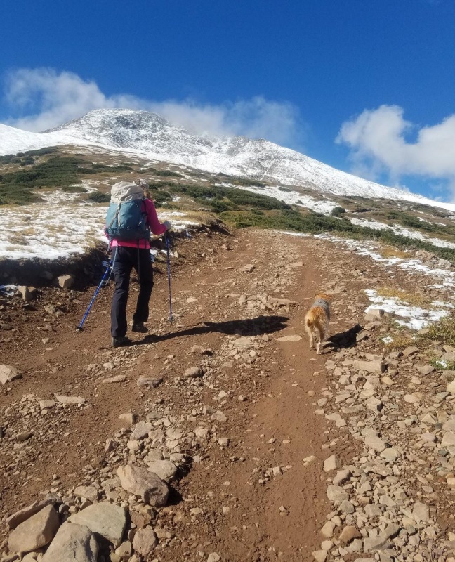
The start of our climb on FSR 436.
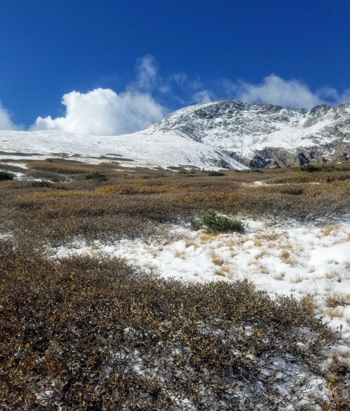
We parked in a nice pullout and headed up the mostly dry road with a snowy Trinchera Peak coming into view. After a couple of switchbacks we left the road for the Northeast Slopes of Trinchera. Ankle deep snow was present almost immediately as we zigzagged through a willow section to gain the slope. I had been expecting significantly less snow, but it appeared that an overnight storm had dropped 3 to 4 inches of new snow. Fortunately, there was not enough to make snowshoes necessary, but enough to regret not wearing gaiters.
A snowy Trinchera Peak as we walked the road.Short willow section.
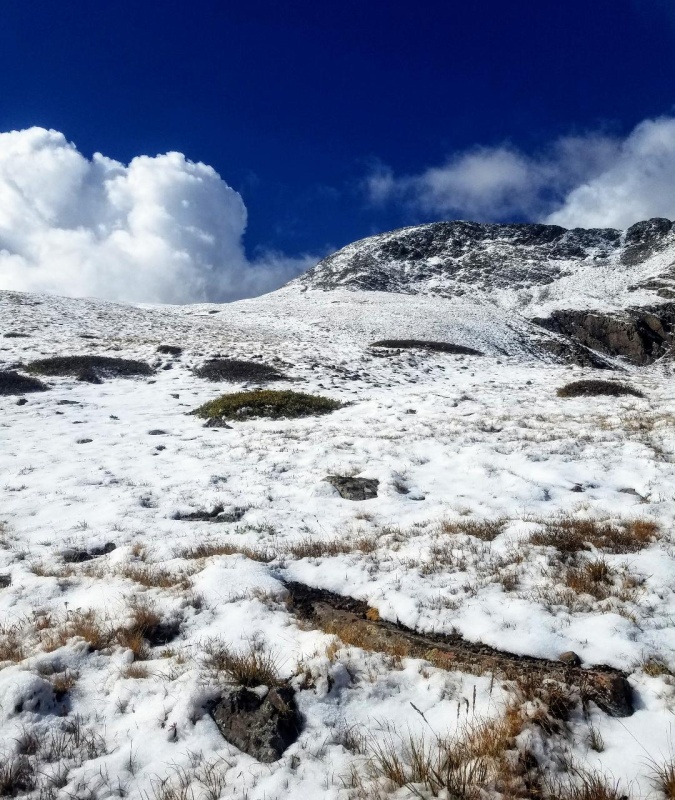
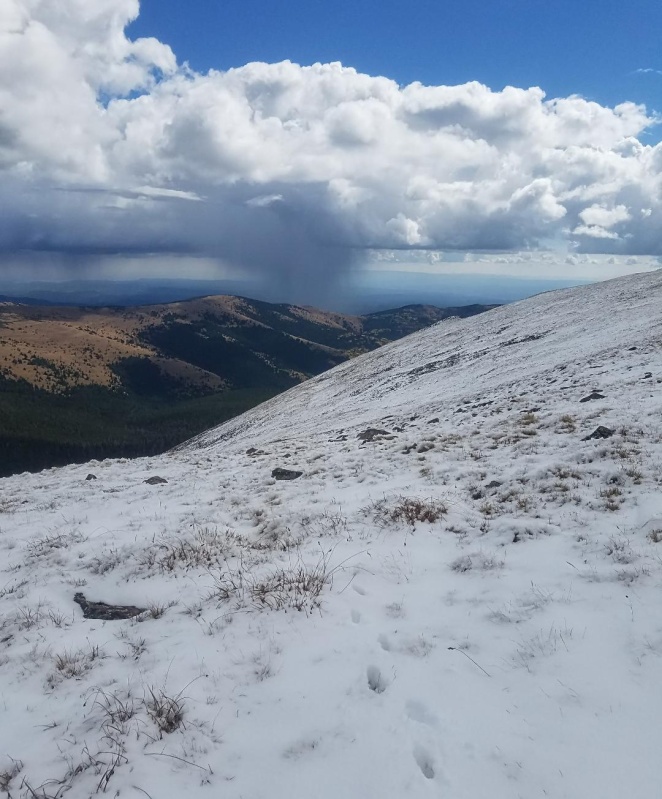
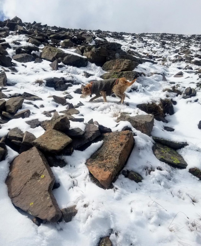
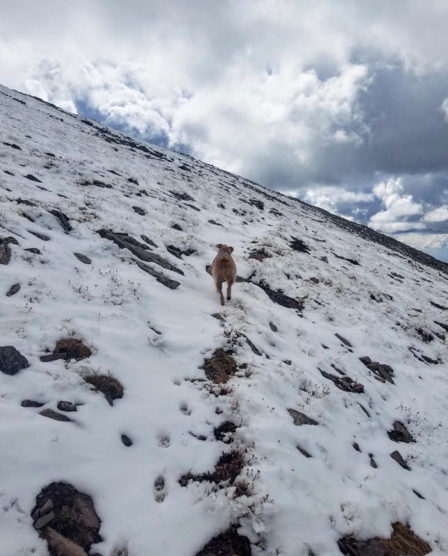
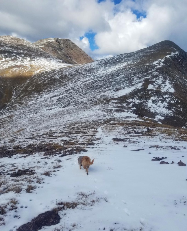
The undulating lower slopes were not very steep and we cruised up this section at a good pace with Leo leading the way. Low clouds that we had first noticed on our approach were now becoming darker and more widespread. Some of them seemed a little threatening, but we kept moving while keeping a watchful eye. The forecast had been for clear skies so this development was a little surprising.
Northeast slope of Trinchera.The mellow lower slopesLeo checking out the dark clouds to the north.Still climbing the lower slopes.Some rain to our southeast.
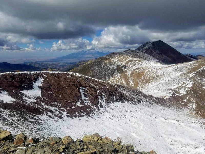
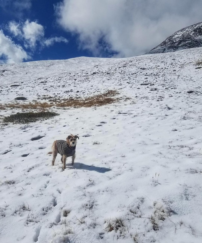
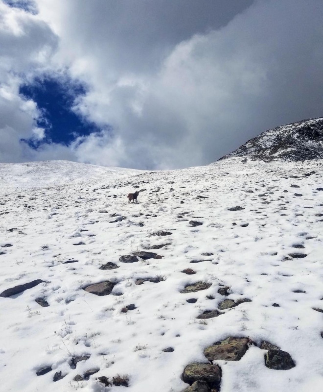
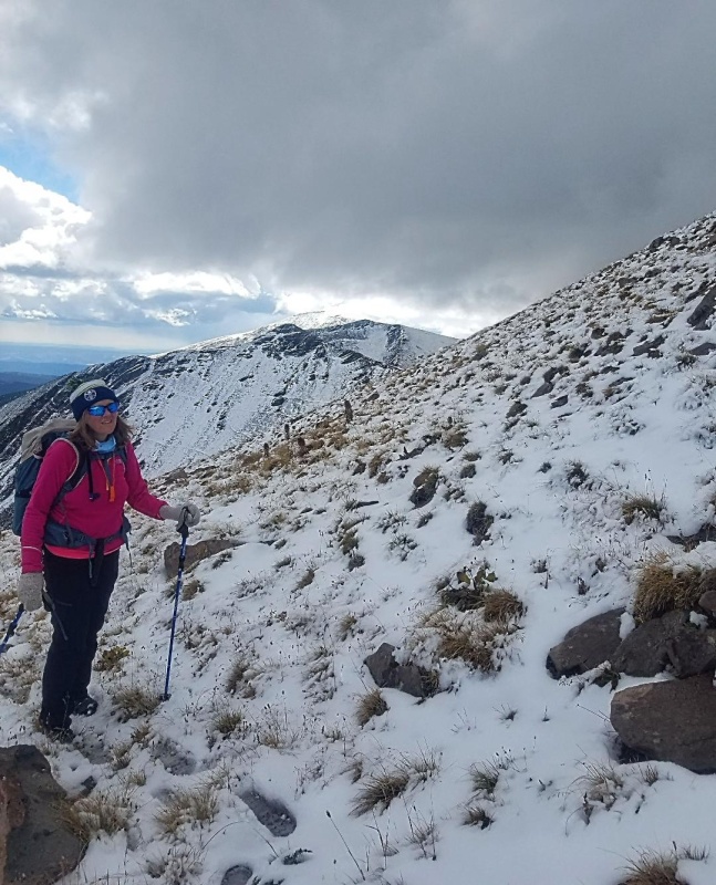
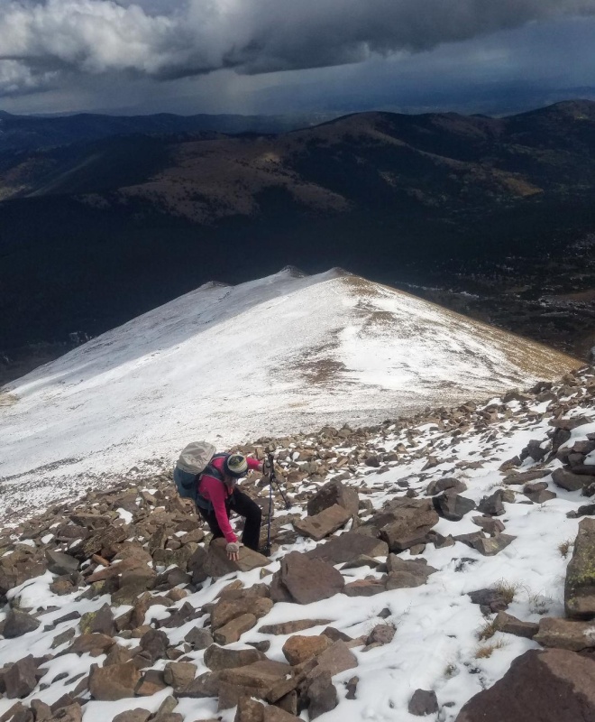
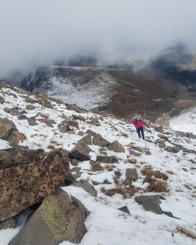
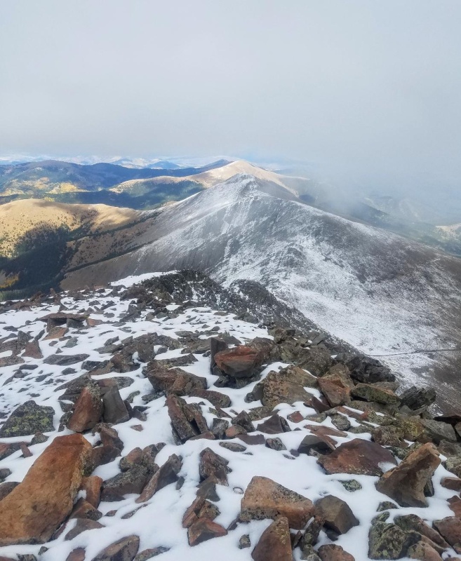
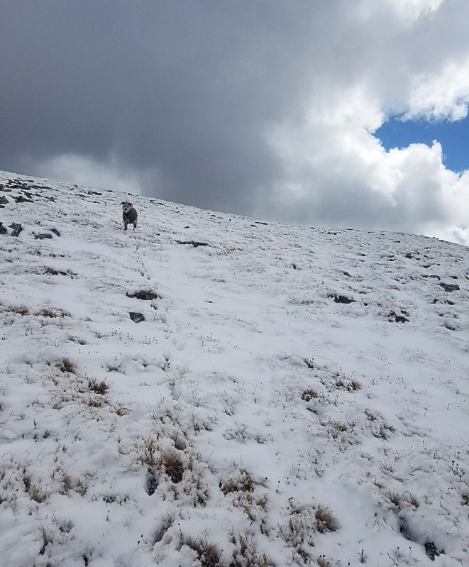
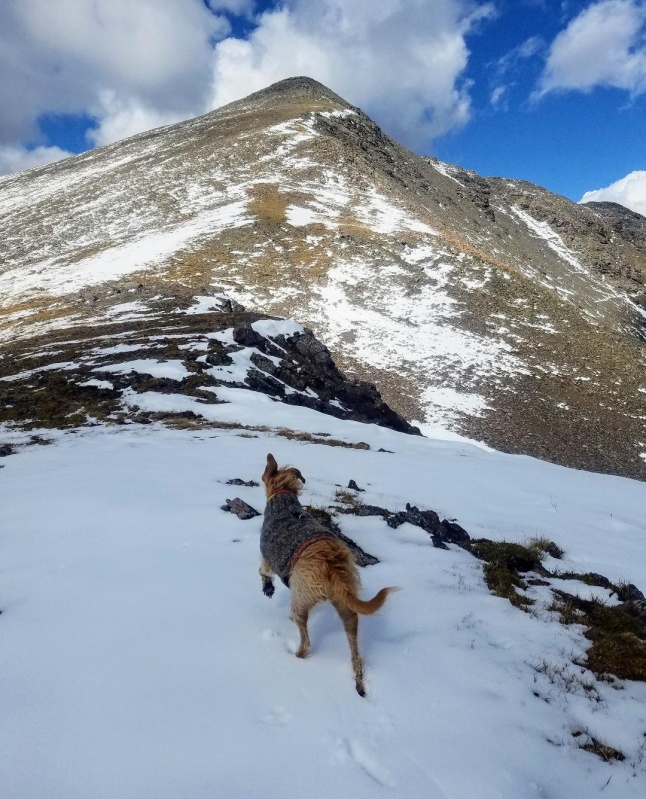
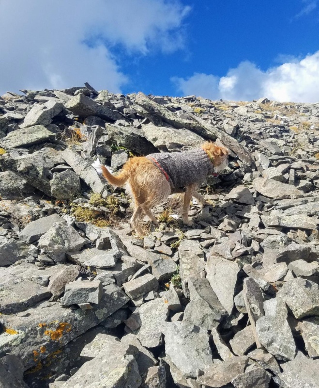
As we climbed higher and higher the gentle terrain slowly transitioned into a steep talus slope. The climbing on this upper slope was much more difficult as a layer of snow and ice covered much of the talus. Microspikes would have been nice here, but we didn't bring any. The slippery talus dramatically slowed our pace, but we kept plugging along with the Trinchera summit within our grasp not much further ahead.
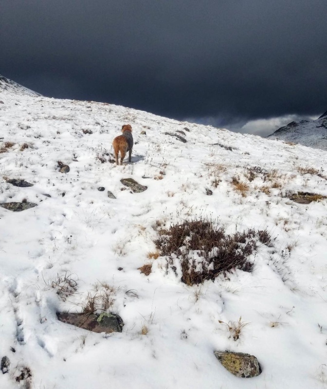
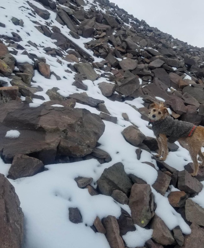
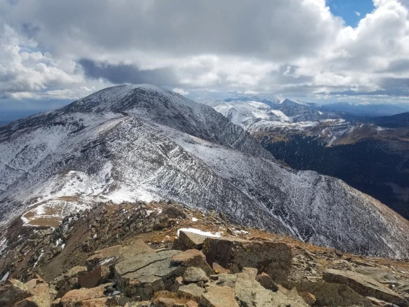
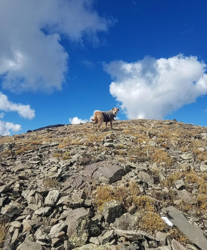
Almost to the upper slope.Slowly transitioning to all talus.Looking north.Looking south.Looking east towards the Spanish Peaks."We gotta go up that?"Sea of TalusThreatening clouds surrounding us as we continue towards the summit.Leo, aka "Talusdog", "Summit Hound"Leaning Peaks. Cuatro hidden in the clouds.A good overall look at our route so far.
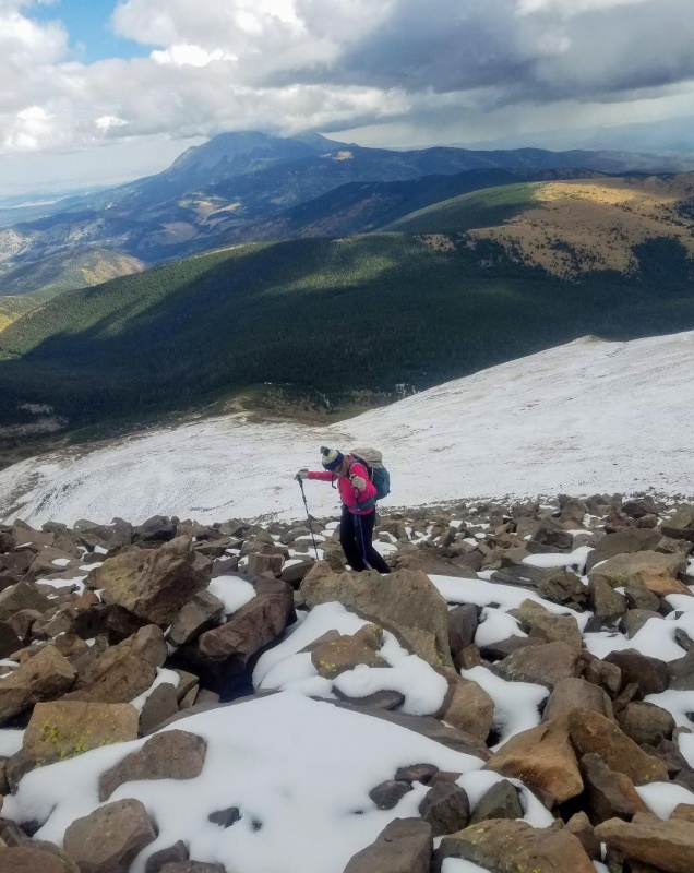
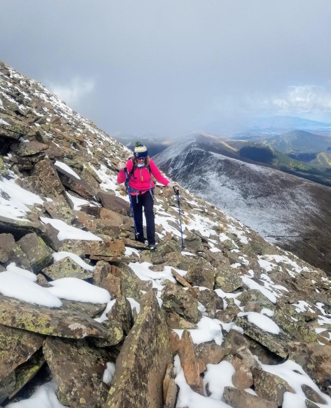
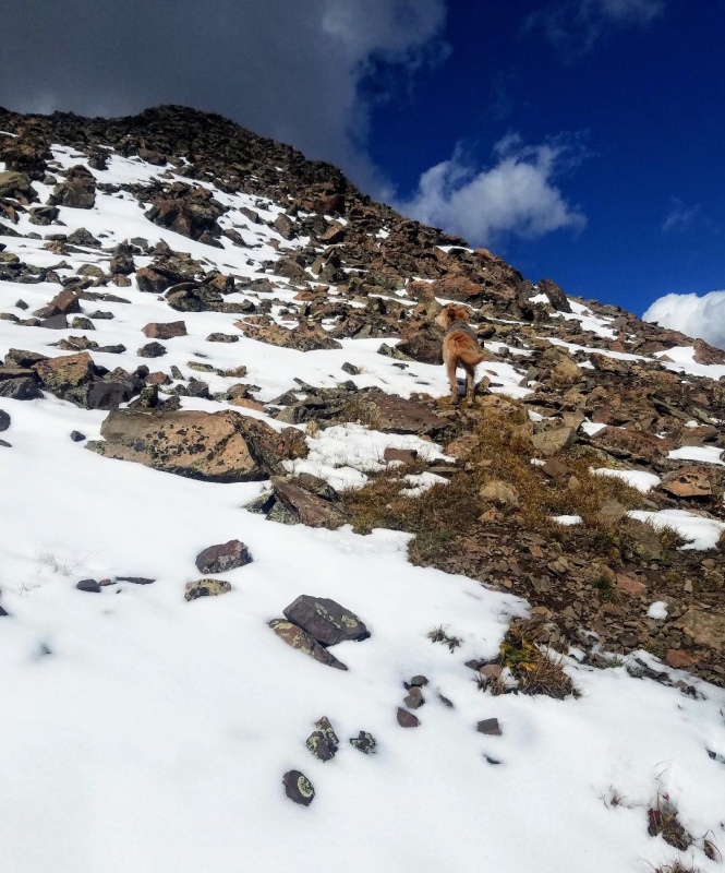
The talus slope continued to get steeper the higher we went while the clouds were looking more and more menacing. We raced on trying to beat the weather while occasionally getting hit by soft pellets of snow falling from the sky. The summit was very near now so we didn't even think of turning. The skies were clear to the west and the isolated storm seemed to be moving off to the north, so I was pretty confident any sleet or snow would be brief.
Very close to the summit now.One last look down.
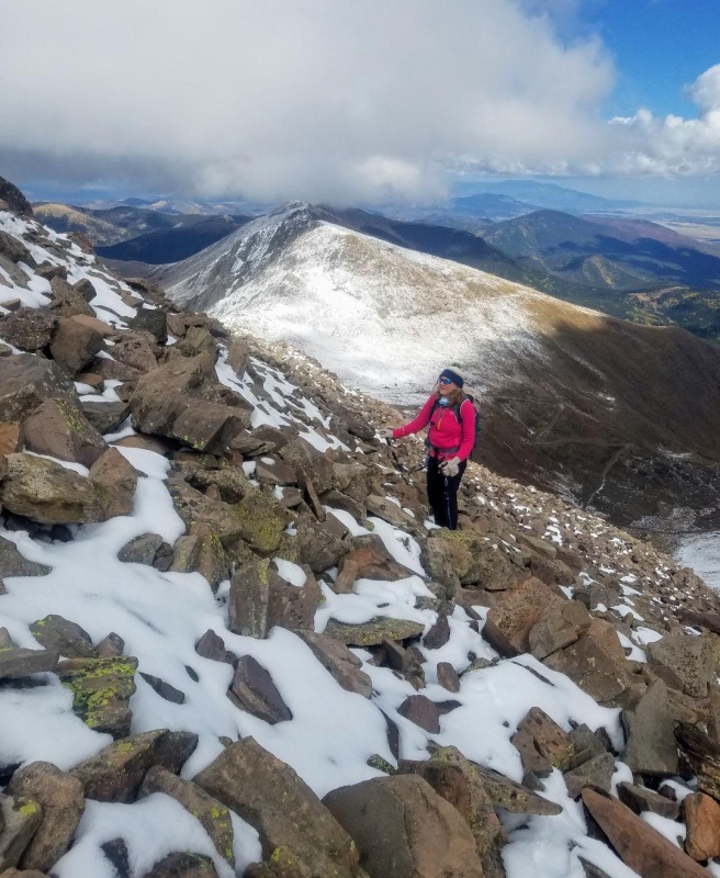
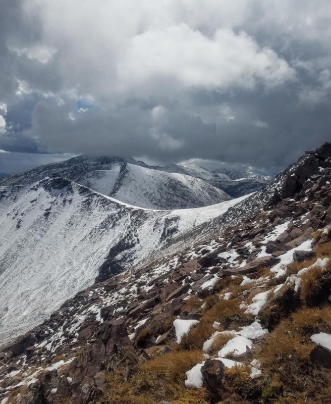
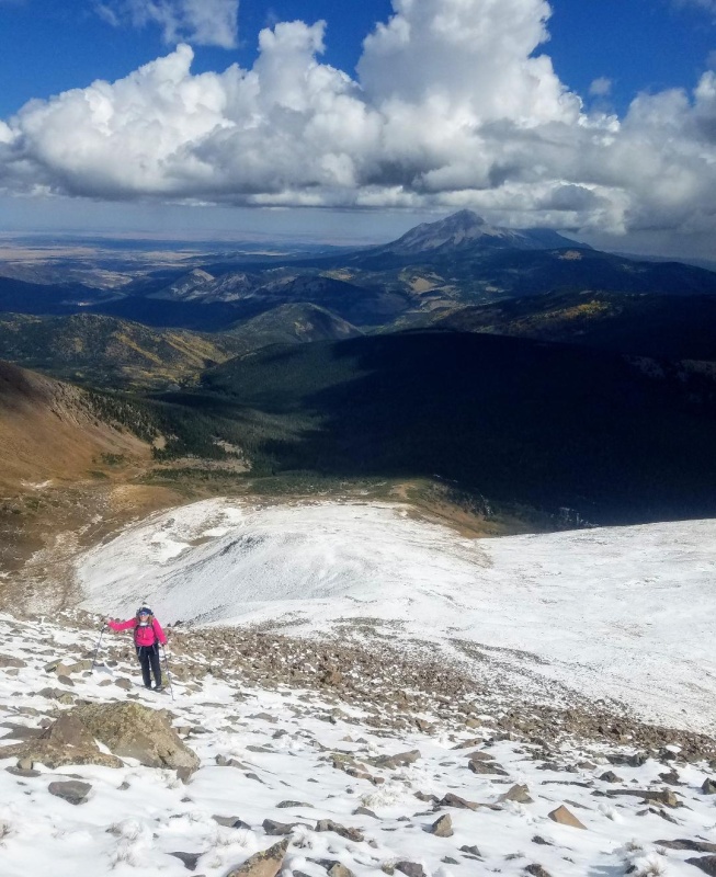
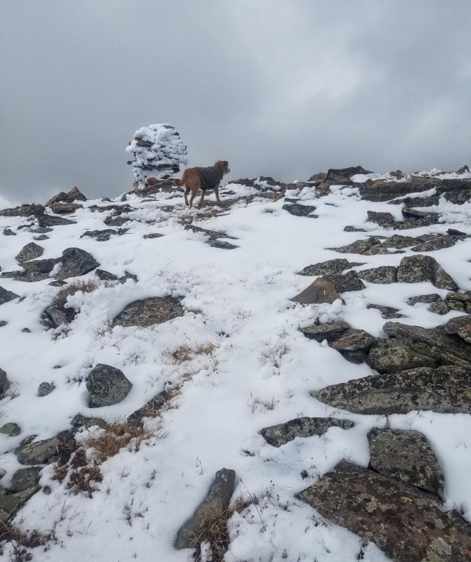
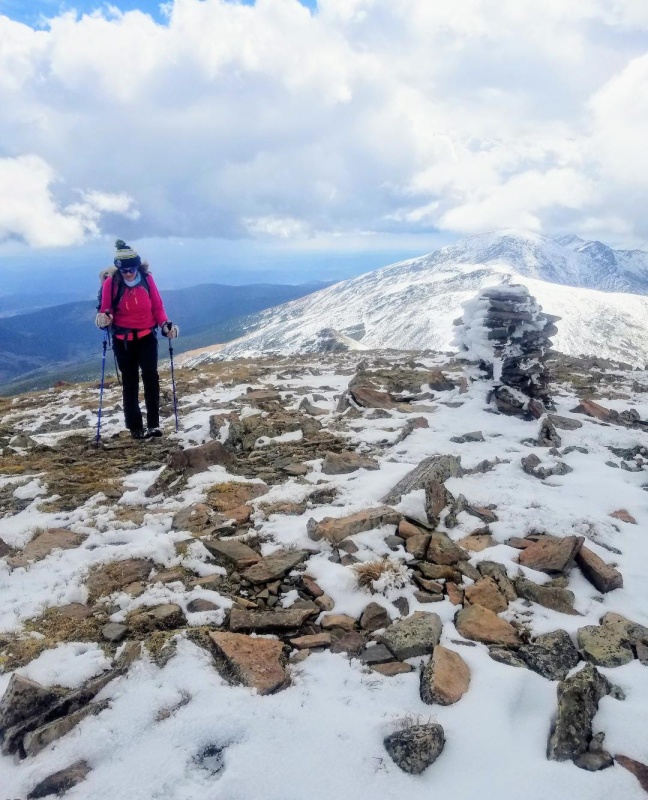
As we neared the summit the steep climbing suddenly relented and Trincheras large, flat summit revealed itself. Then, right on cue, the stormy looking weather started to abate as I predicted would happen. This allowed us to get some great Sangre de Cristo views. The winds picked up though on the exposed summit, and we took shelter behind the large summit cairn and enjoyed our snacks. I was happy to see the clearing weather because it would now be possible to continue further on this hike and get some bonus peaks. Our refueling break was short, and we packed up our stuff and headed south off Trinchera towards the Leaning Peaks.
Leo reaching the summit first!My girlfriend summiting.The north ridge of Trinchera.
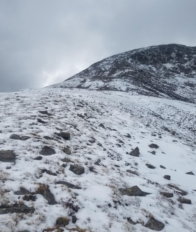
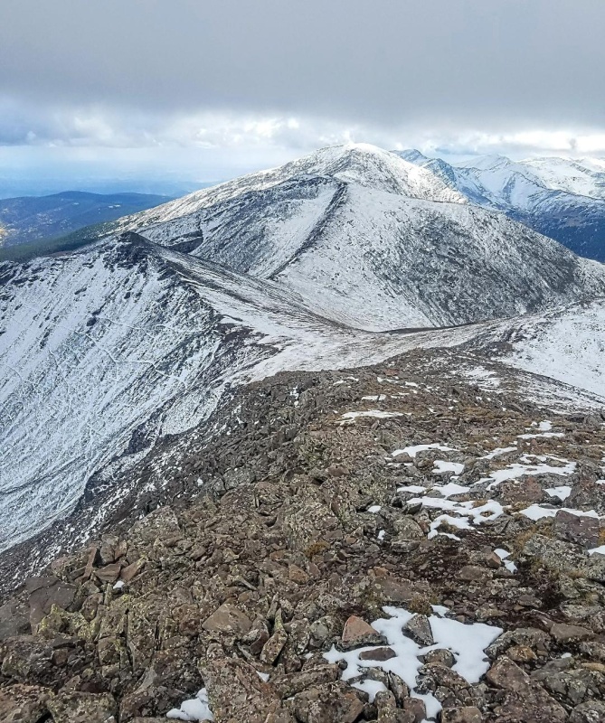
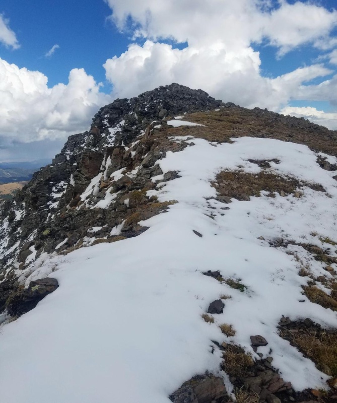
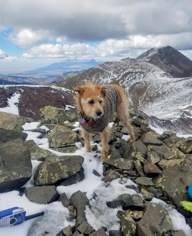
A mellow slope took us down to the Leaning North Peak-Trinchera saddle. It started out mostly talus but then transitioned into tundra for an easy descent. We then started following a partially snow covered trail that went around Leaning North Peak and headed towards Leaning South Peak. I figured it would be best to get the South Peak first and then get the North Peak on our return route. The lightly snow covered trail contoured to the right as my dog tracked the scent of a fox. Earlier, on Trinchera, we had seen a beautiful red fox with it's full winter coat. Apparently, this fox was peak bagging too as I occasionally caught glimpses of it climbing towards the Leaning South Peak summit.
Leaning North, Leaning South and Cuatro.Approaching the saddle. We stayed to the right of Leaning North Peak here.Trail to Leaning South Peak.
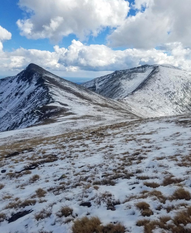
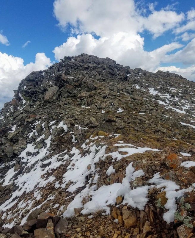
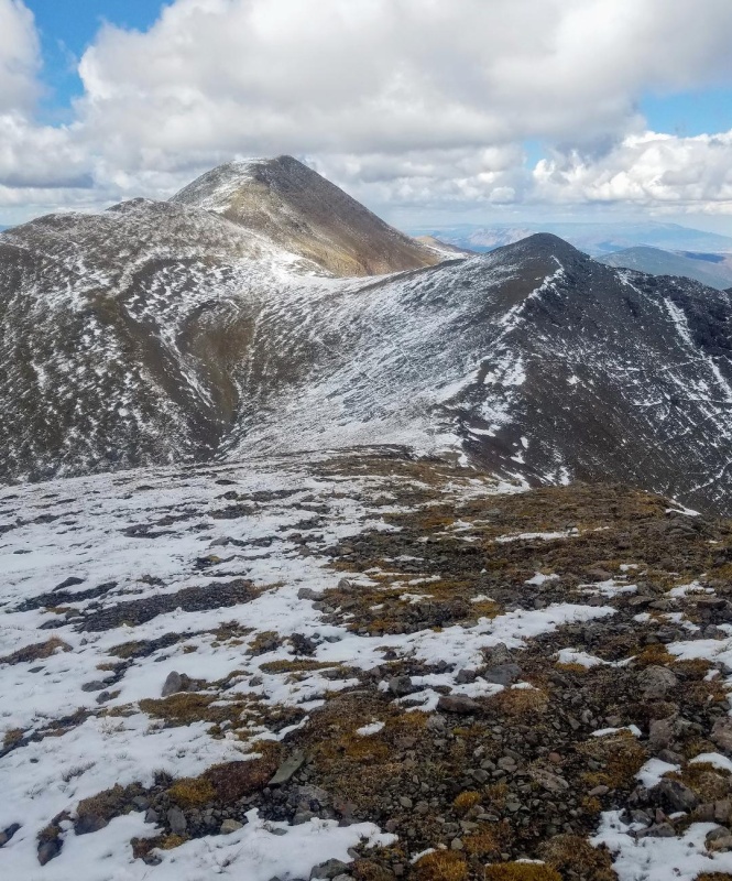
The nice single track led to an upper ridge and then went right towards Cuatro. We turned left and followed a wide, low angle ridge a short distance to the summit of Leaning South Peak. The fox must have bagged it already as we saw it again scrambling near the saddle with Cuatro.
Single track up Leaning South Peak.Almost to the upper ridge.Upper ridgeSummit!Summit view of Cuatro Peak to the South.Summit view of Trinchera.
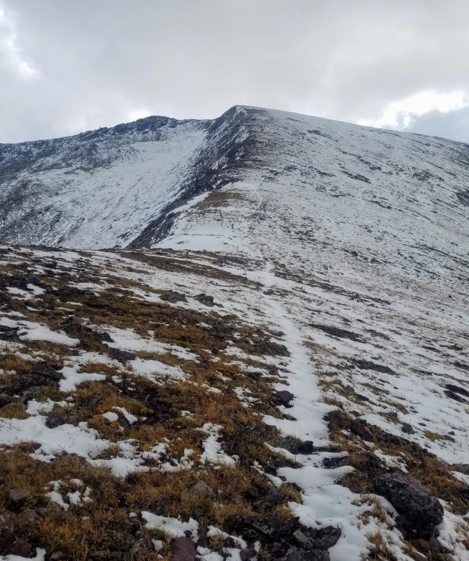
The summit views from Leaning South Peak didn't let us down and were magnificent in all directions. I probably could have stayed on that small, rocky summit for hours, but the day was getting long and we kept our sightseeing to a minimum. We still had one more 13er to climb as we worked our way back to Trinchera and the trailhead. Leo happily led us off the summit block and back towards Leaning North Peak eager for another summit. We went straight down it's north ridge instead of our more circuitous ascent route we took following the fox. The ridge was easy class 2 and we were back at the saddle in no time.
Beginning our descent.Going down ridge.
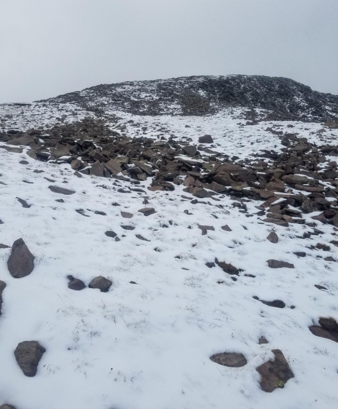
After a quick descent down the ridge we immediately started climbing the south ridge of Leaning North Peak. We just went straight up the ridge following a faint climbers trail and quickly made the summit. The ascent had been relatively simple with no obstacles and very little snow. An easy peasy 13er.
Almost to the saddle and back on the single track.Crossing the saddle.Beginning our climb up the south ridge of Leaning North Peak.Short scree/talus section.Summer conditions up high.Almost there.Leo taking in the views.Leaning North Peak summit and view of Trinchera.
Leo and I didn't linger on Leaning North Peak either. I took a few quick pics and then continued on. We descended down it's northwest ridge which didn't take long and headed back up Trinchera. Upon reaching a landing at 13,200. I spotted a game trail that crossed Trincheras southeast face and went for it rather than a re-summit of Trinchera. This way I would shorten the hike and avoid the steep snow covered talus slope coming of Trinchera that we had ascended. This route went well and in quick time we were back on Trincheras Northeast Slope and speeding back to the trailhead. This was a beautiful hike in Spanish Peak Country and I hope you enjoy reading about it.
Thumbnails for uploaded photos (click to open slideshow):
I think it has the worst ratings I have ever seen on Expedia, I remember considering it once and decided not to try it. Glad that it treated you fine. :) Enjoyed Trinchera a couple weeks after you.... we parked at the lower TH (actually a bit below it) and the snow covered talus slowed us down so we didn't end up getting the leaning peaks. It's a cool area, so I will be glad to go back.
Yeah I saw those and don't get me wrong, it does deserve them. The bed and shower were fine though and that's all that mattered to me. That snow covered talus was tough. I was very happy to find a shortcut on the way back. It is a beautiful area and I'll be back for Cuatro.
This is a great summary of your hike and the pictures a great! Appreciate you sharing the details. One question, I may have overlooked, what was your total time out and back?
Thank you! Sorry I'm not sure on the time. It didn't take long though with the high start and the Leaning Peaks go quick. However, I belive that road is still closed to vehicles from a wind event. You'll need to start much lower.
Caution: The information contained in this report may not be accurate and should not be the only resource used in preparation for your climb. Failure to have the necessary experience, physical conditioning, supplies or equipment can result in injury or death. 14ers.com and the author(s) of this report provide no warranties, either express or implied, that the information provided is accurate or reliable. By using the information provided, you agree to indemnify and hold harmless 14ers.com and the report author(s) with respect to any claims and demands against them, including any attorney fees and expenses. Please read the 14ers.com Safety and Disclaimer pages for more information.
Please respect private property: 14ers.com supports the rights of private landowners to determine how and by whom their land will be used. In Colorado, it is your responsibility to determine if land is private and to obtain the appropriate permission before entering the property.


")
")
")
")
")
")
")
")
")
")
")
")
")
")
")
")
")
")
")
")
")
")
")
")
")
")
")
")
")
")
")
")
")
")
")
")
")
")
")
")
")
")
")
")
")
")
")
")


