| Report Type | Full |
| Peak(s) |
"C.T. Peak" - 13,317 feet "Gudy Peak" - 13,572 feet Unnamed 13544 - 13,544 feet Unnamed 13403 - 13,403 feet |
| Date Posted | 10/04/2021 |
| Modified | 10/06/2021 |
| Date Climbed | 10/02/2021 |
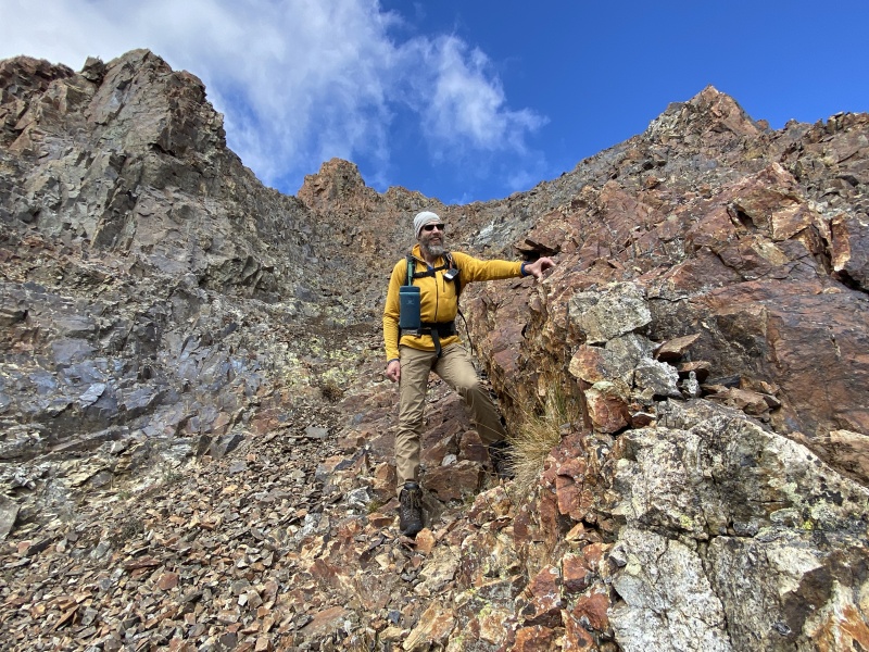
| Author | JQDivide |
| Additional Members | bmcqueen, dereks95 |
| A Tough 3,100 |
|---|
|
A Tough 3,100 Feet Fall Gathering, October 2021 The weather looked questionable all week. But this was a perfect example of, you don’t know if you don’t go. The weather was better than predicted for the gathering. I got there early on Friday to set up and was able to hang out with Bill and Tiffany for a while and met Ben and Samantha. I didn’t have set plans for hiking yet, go with Ryan and Tony (who eventually changed their plans) or go with Brad? I hiked with Ryan last weekend. And so I decided to go with Brad. We have only been out once this year, the Puma group near Tarryall Reservoir. We went back and forth on potential hikes, and settled on a change while around the group campfire on Friday. But, Derek showed up in the morning while we were eating breakfast and we changed back to the original plans, the four ranked peaks on the ridge to Gudy Peak. I scanned Otina’s TR, but should have asked a few questions about 13,540. 
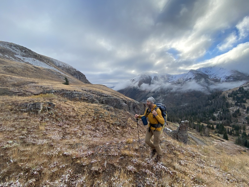
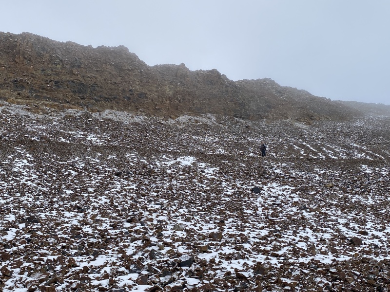
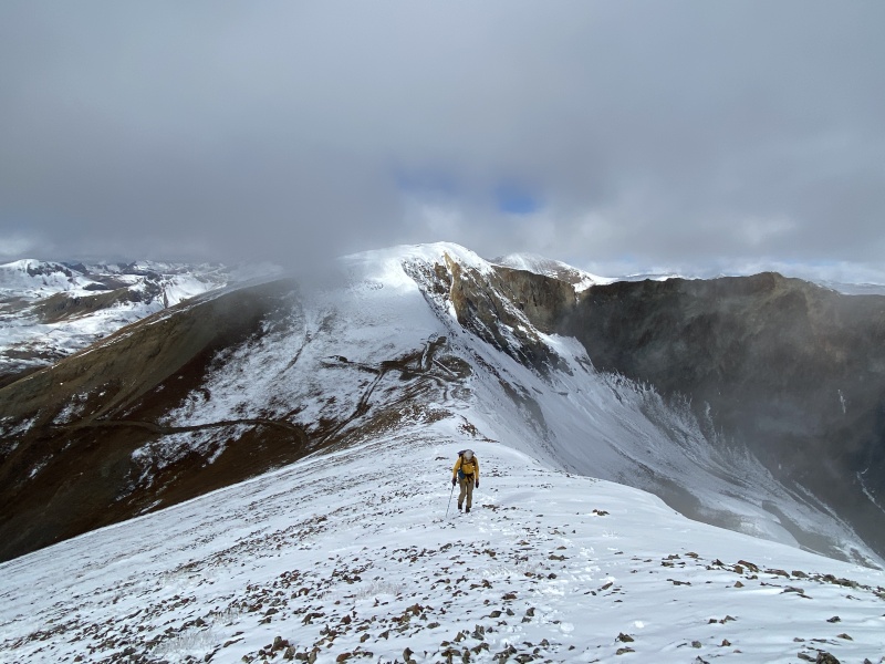
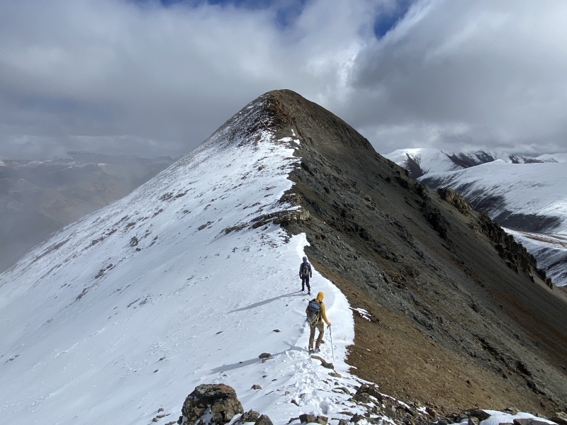
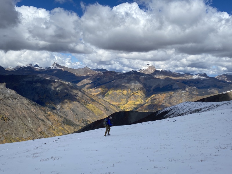
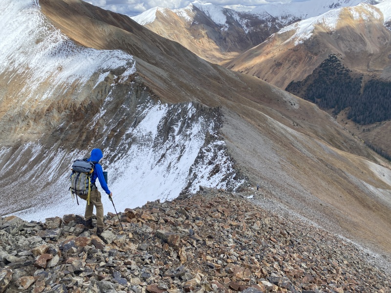
This hike really needs a shuttle, so we left Brad’s 4Runner at the parking area at the bottom near Cooper Creek. We loaded up in Derek’s Rav4 and parked at one of the last switchbacks going up to Cinnamon Pass. From there we hiked up the road to 12,000, and started up the slope near a rocky drainage. Up and over a hump, we bypassed 12er Edith Mountain and worked our way toward Wood Mountain, skirting just to the right (east) of it and then into the upper western edge of the Cleveland Gulch drainage. We stayed high and side-hilled a bit until we connected with a game trail / old trail near 12,800 on the west slope of the drainage. Even passed an old mining hole. We worked our way to 13,000 and an old mining road. We turned east and followed the road past a 13,200 high point and on to the slope of the first 13er of the day, 13,427. The clouds were still moving and covering most of the sky and peaks around us. Though glimpses of blue sky and white summits came and went. 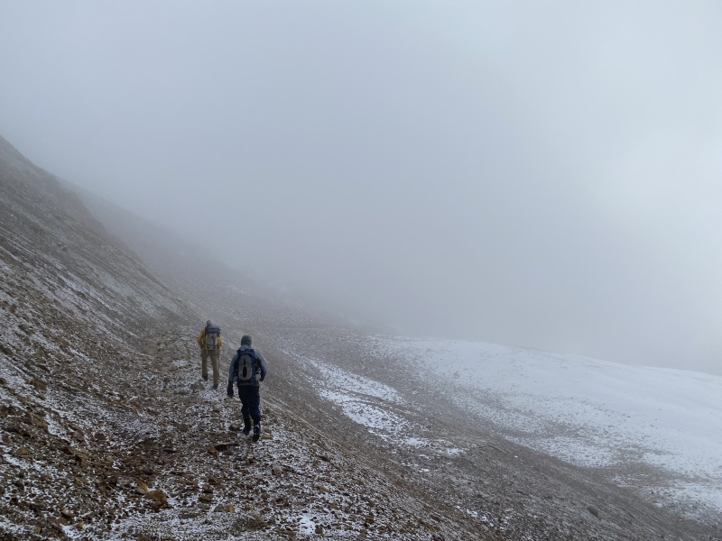
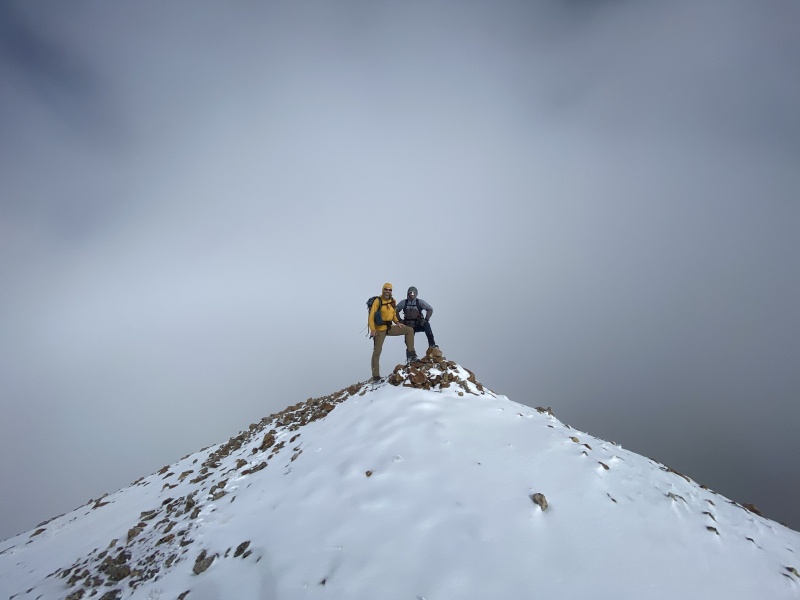
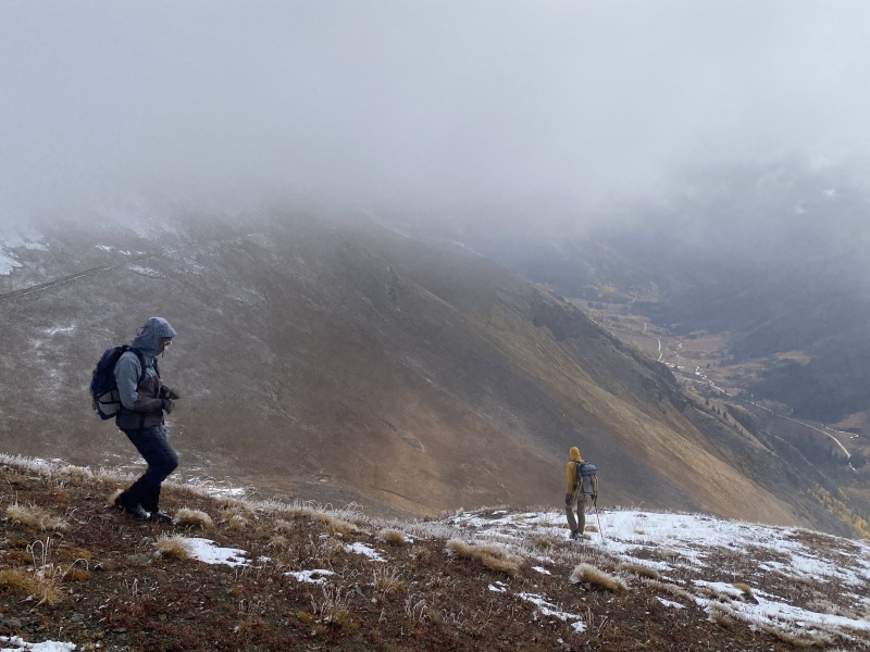
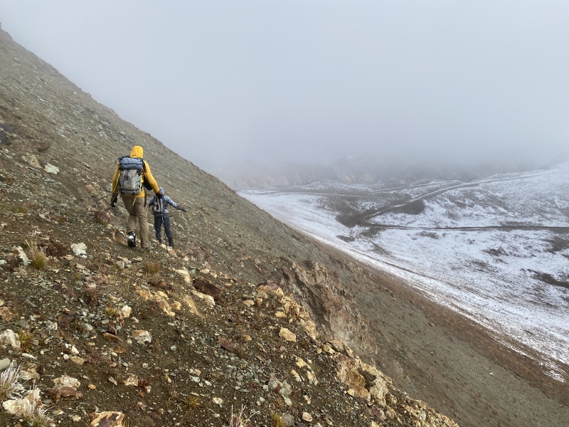
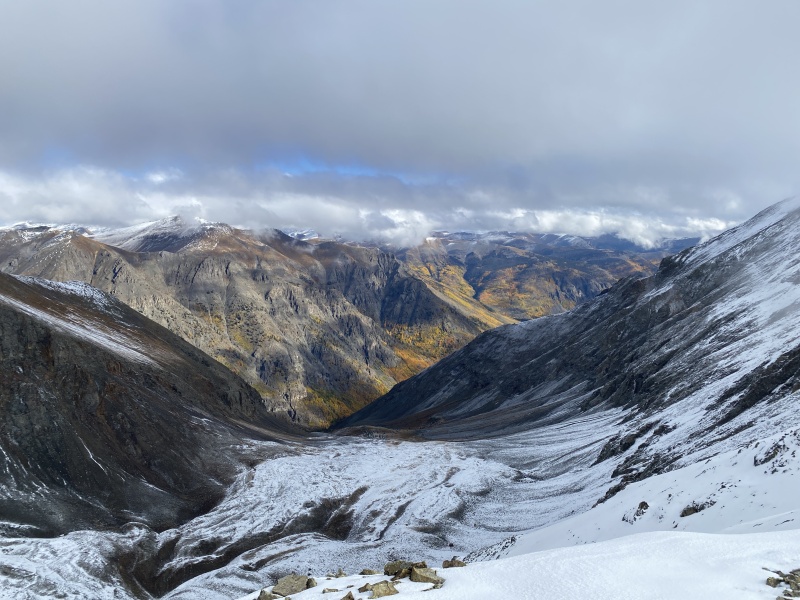
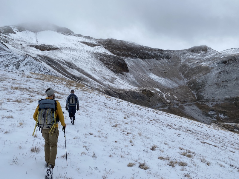
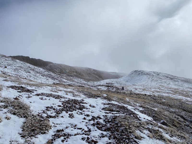
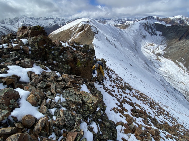
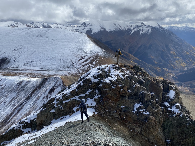
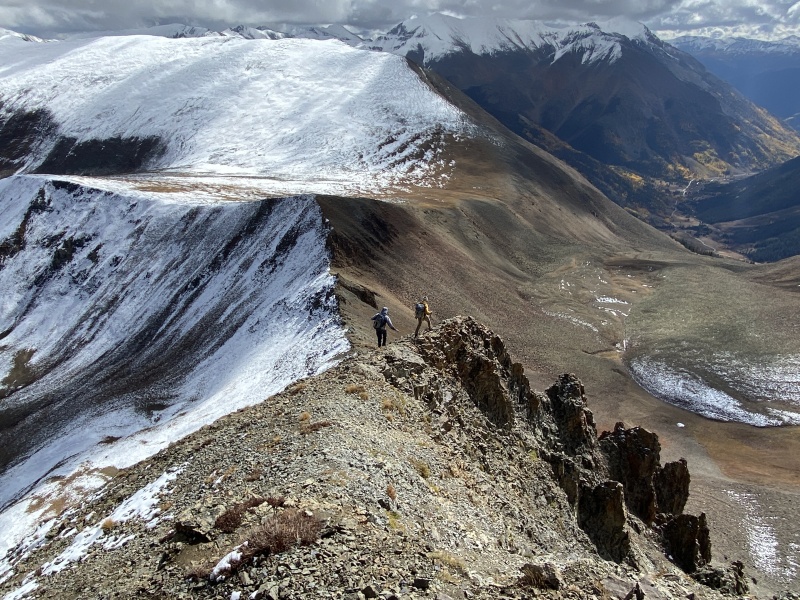
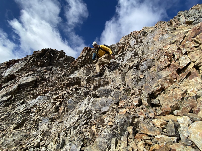
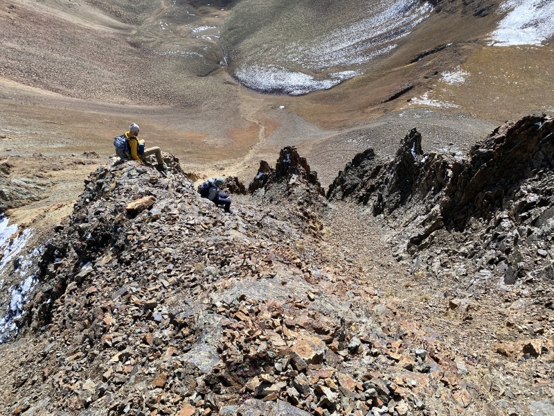
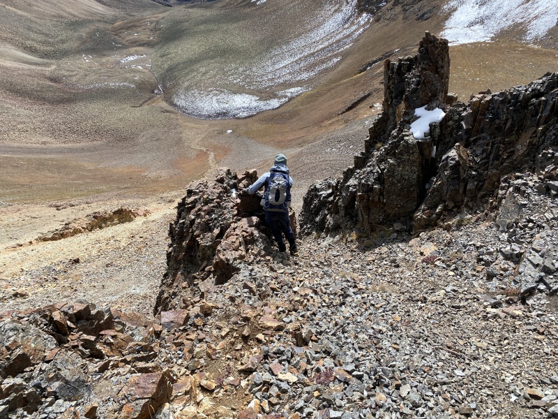
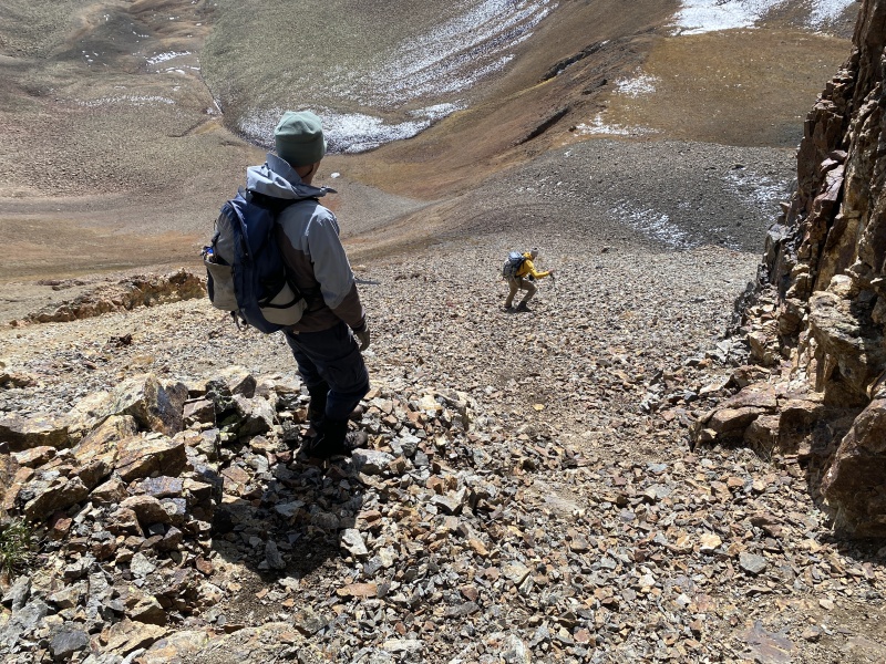
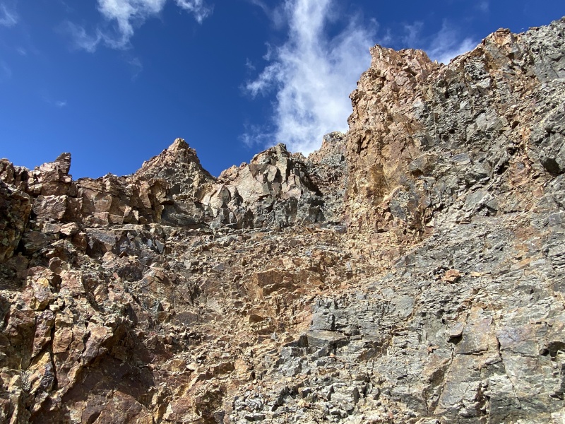
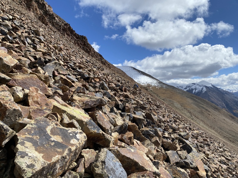
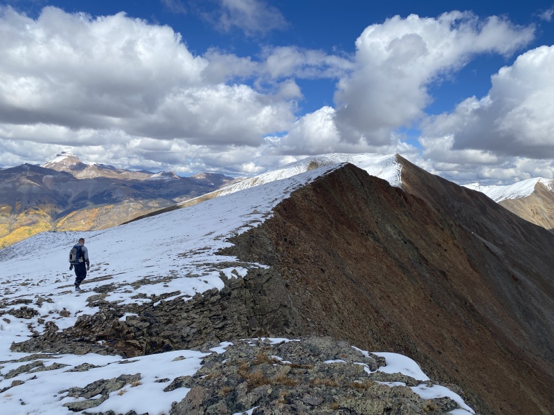
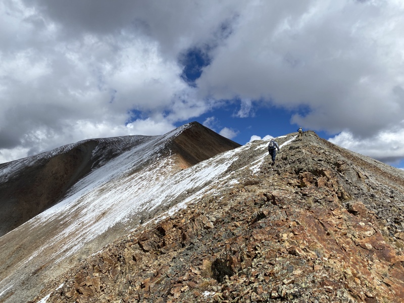
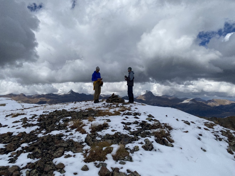
We hit the summit, but didn’t stay very long. Down the southeast edge of the peak and turned back left, NE, for an easier slope to meet up with the saddle with 13,540. The ridge to the summit of 13,540 was very long. More blue sky began to appear. We had a quick down and up on the ridge to reach the top. We snacked and took photos. The downhill route off 13,540 sucked. She is a dirty bitch. A slightly narrow and loose slope turned into a nasty rotten gulley. Loose rocks covered most anything that was solid. Derek went first, thankfully. He was the guinea pig, and I was very pleased he led us right. This was the worst slope I have ever gone down. I would have turned back if I were solo. And I had the wrong boots for this. I wore winter boots because of the 3-4 inches of snow and wanted to keep my feet dry. Ugh. Slowly we made our way down. Taking turns to make sure no one kicked rocks on each other. We should have been wearing helmets. I got the award for knocking the largest rock loose, and for the largest rock slide. Luckily Derek had crossed a rotten rib and was out of the way before this happened. My inner diva came out, but we made it to the bottom of this shitty gulley. This was a hard loose Class 3, maybe even a bit Class 4. We continued down the slope, scree surfing most of it. Across a grassy slope and then across a loose boulder field. We stayed near 12,800 as we crossed. Probably took us more than an hour to get off 13,540 and to the slope to go up C.T. Peak. 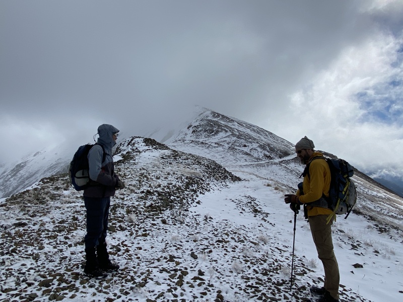
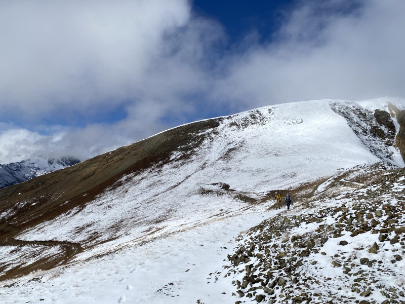
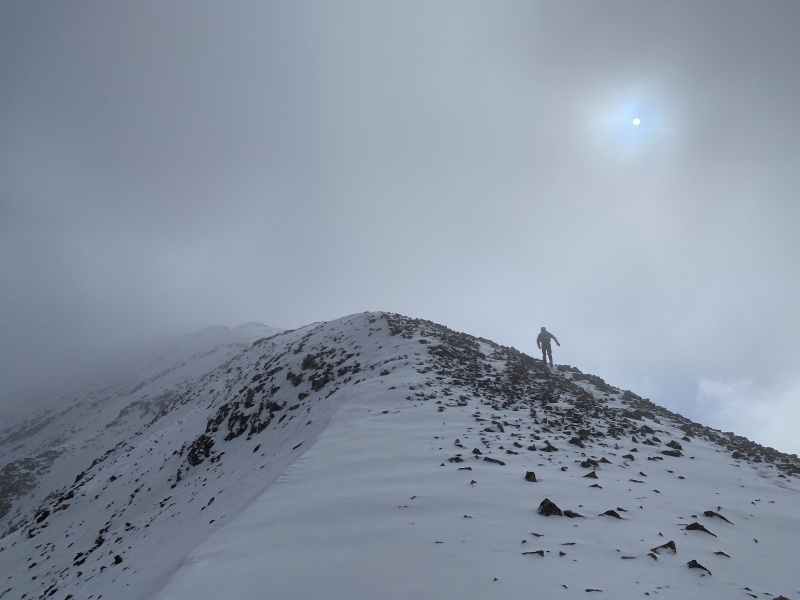

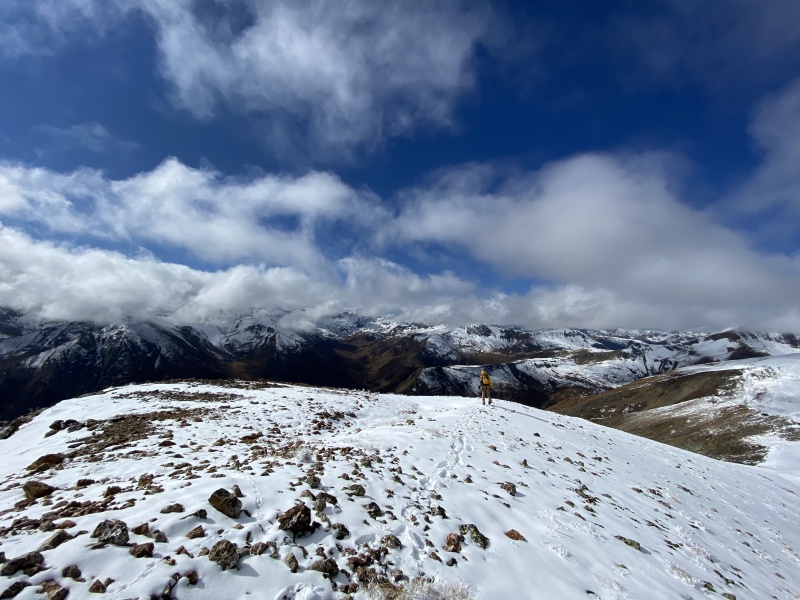
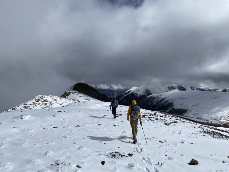
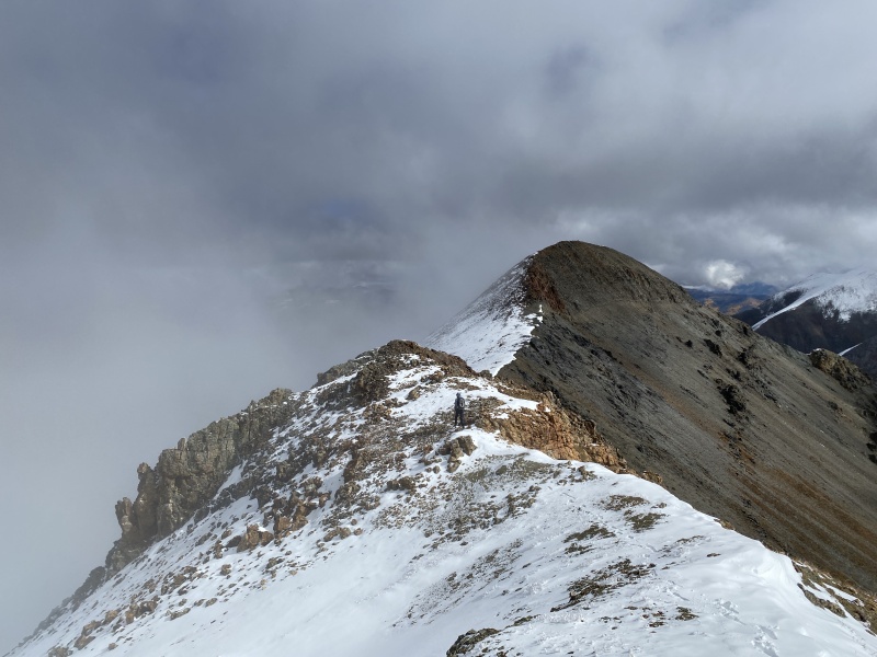
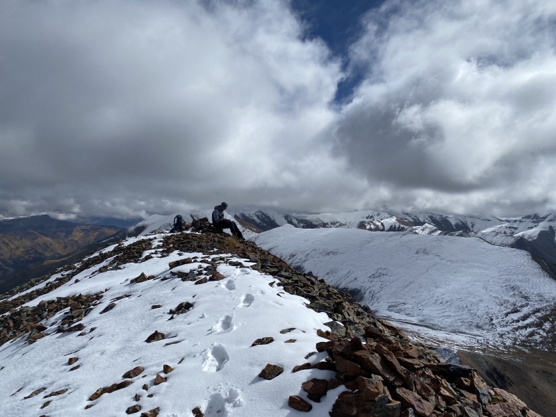
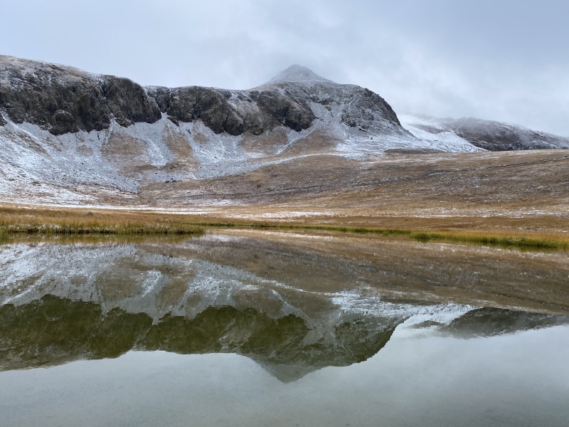
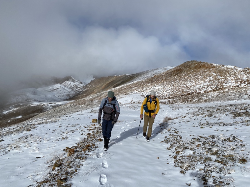
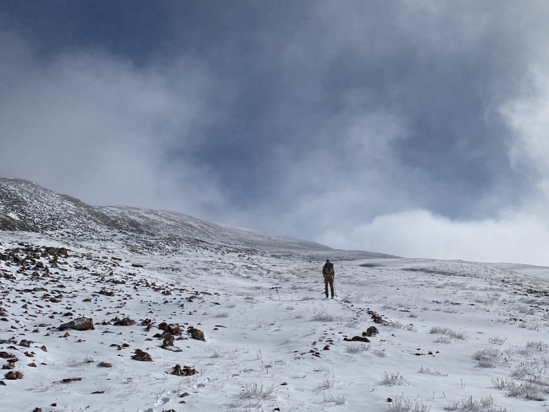
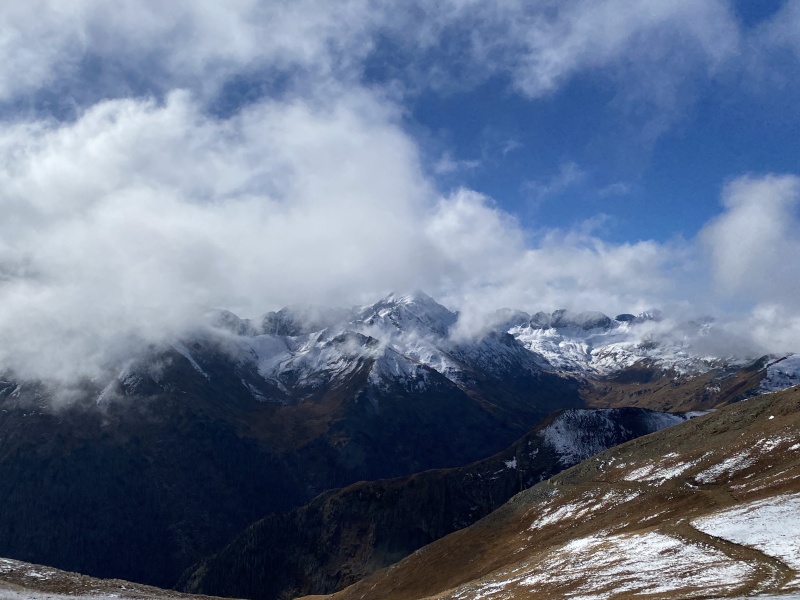
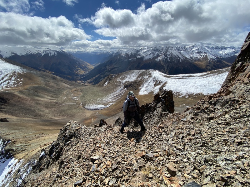
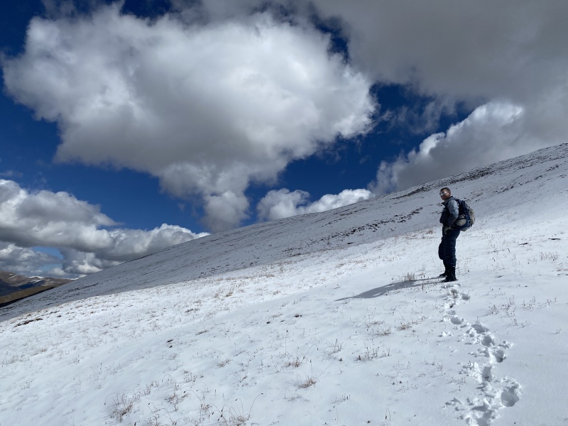
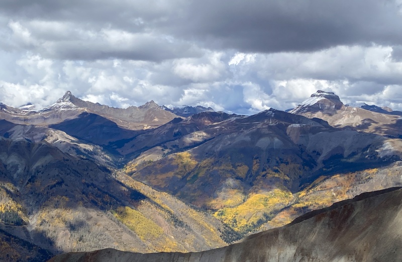
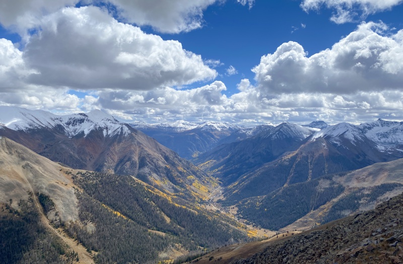
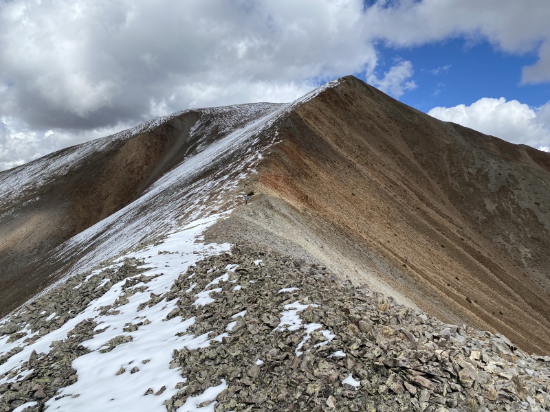
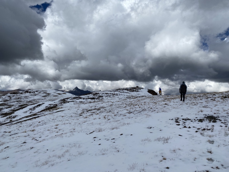
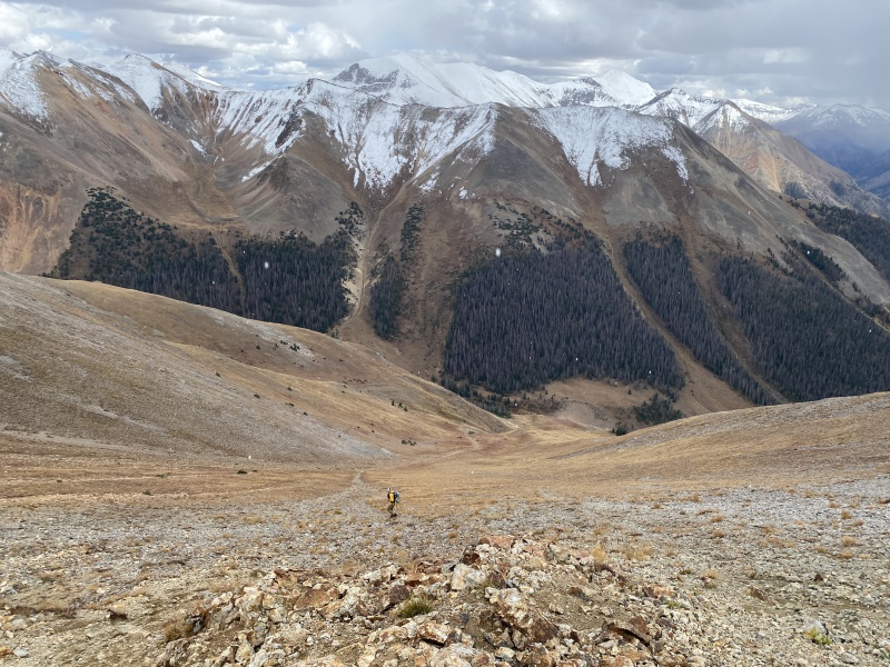
C.T. was a snowy walk up, an easy afternoon hike. The peaks all around were showing off their bright white northern slopes. A quick stop on the summit of C.T. for snacks and we went down its rocky C2 slope to the saddle with Gudy. We got to the saddle and dropped our packs next to a very small tree. We each took a layer and a water bottle to the summit. Gudy was a fairly easy walk up, but that summit was all the way over there when we got to the top. Views of Wetterhorn and Uncompahgre were fantastic. Clouds were moving in and sky was getting a darker. A few snowflakes swirled in the air. It was time to go down. And by down, I mean 2,000 feet down to Cooper Creek. Most of the down was rocky, grassy or a mix depending on your route choice on the steep slope. Derek crossed the creek and got on the Copper Creek trail. Brad had thoughts of side-hilling again until the trail crossed back over to this side. I should have followed Derek. But, we all got back together near some recent trail work. We were mostly down and just a few minutes from our car shuttle. We talked about the route we had just completed. We all agreed it was a tough 3,100 feet of gain. It felt more like a 5,000-foot or more kind of day. 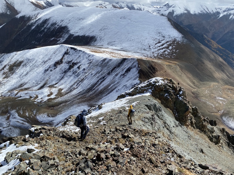

Both Derek and I hit 100 13ers on this hike. We got back to the car. Brad had a bed in the back, so I volunteered to stay behind. I switched shoes and enjoyed a nice walk back to Grizzly Gulch TH. Was nice to walk this road instead of drive it. I made it the old building as it began to rain. Took Brad and Derek nearly an hour to drive up and down the pass to get back to me. I jumped in Derek’s car and we drove back to camp in the rain. We were able to cook our dinners in our dry canopy set up. I made cake in the Dutch oven and we made our way to the group campfire. Though Derek spent some time drying out his gear as his cot-tent leaked a bit in the afternoon rain. 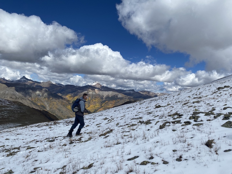

Thumbnails for uploaded photos (click to open slideshow): ")
")
")
")
")
")
")
")
")
")
")
")
")
")
")
")
")
")
")
")
")
")
")
")
")
")
")
")
")
")
")
")
")
")
")
")
")
")
")
")
")
")
")
")
")
")
")
")
")
")
|
| Comments or Questions | |||||||||
|---|---|---|---|---|---|---|---|---|---|
|
Caution: The information contained in this report may not be accurate and should not be the only resource used in preparation for your climb. Failure to have the necessary experience, physical conditioning, supplies or equipment can result in injury or death. 14ers.com and the author(s) of this report provide no warranties, either express or implied, that the information provided is accurate or reliable. By using the information provided, you agree to indemnify and hold harmless 14ers.com and the report author(s) with respect to any claims and demands against them, including any attorney fees and expenses. Please read the 14ers.com Safety and Disclaimer pages for more information.
Please respect private property: 14ers.com supports the rights of private landowners to determine how and by whom their land will be used. In Colorado, it is your responsibility to determine if land is private and to obtain the appropriate permission before entering the property.


