Download Agreement, Release, and Acknowledgement of Risk:
You (the person requesting this file download) fully understand mountain climbing ("Activity") involves risks and dangers of serious bodily injury, including permanent disability, paralysis, and death ("Risks") and you fully accept and assume all such risks and all responsibility for losses, costs, and damages you incur as a result of your participation in this Activity.
You acknowledge that information in the file you have chosen to download may not be accurate and may contain errors. You agree to assume all risks when using this information and agree to release and discharge 14ers.com, 14ers Inc. and the author(s) of such information (collectively, the "Released Parties").
You hereby discharge the Released Parties from all damages, actions, claims and liabilities of any nature, specifically including, but not limited to, damages, actions, claims and liabilities arising from or related to the negligence of the Released Parties. You further agree to indemnify, hold harmless and defend 14ers.com, 14ers Inc. and each of the other Released Parties from and against any loss, damage, liability and expense, including costs and attorney fees, incurred by 14ers.com, 14ers Inc. or any of the other Released Parties as a result of you using information provided on the 14ers.com or 14ers Inc. websites.
You have read this agreement, fully understand its terms and intend it to be a complete and unconditional release of all liability to the greatest extent allowed by law and agree that if any portion of this agreement is held to be invalid the balance, notwithstanding, shall continue in full force and effect.
By clicking "OK" you agree to these terms. If you DO NOT agree, click "Cancel"...
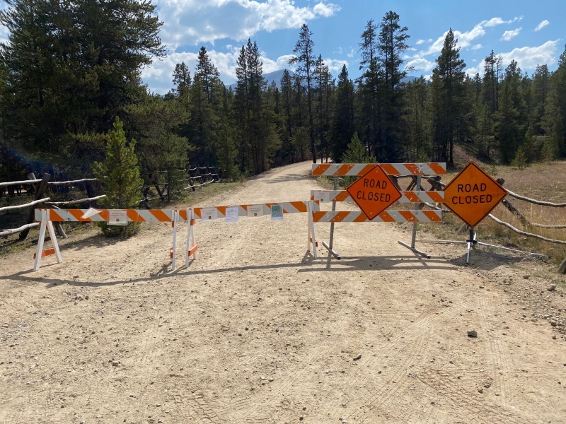
Sometimes you just have to be flexible... That's what I was thinking when I rolled up to the Halfmoon Creek TH and saw that the road was closed. Uh-oh...
Prior to heading out I had checked the Halfmoon Creek TH status, mostly just to get a feel for the 4WD conditions, and didn't see any cause for alarm. Had I checked the North Halfmoon Creek TH status for Mt. Massive before I left home I would have seen there was a road closure well before the TH I was going for.
I asked a few weary hikers coming down off the mountain how far the TH was. They indicated that the TH was a mile or a mile and a half from the road closure. I wanted to stick with my plan of going for the French group 13ers and then the self help quote, "Don't wish things were easier, wish that you were stronger" popped into my head.
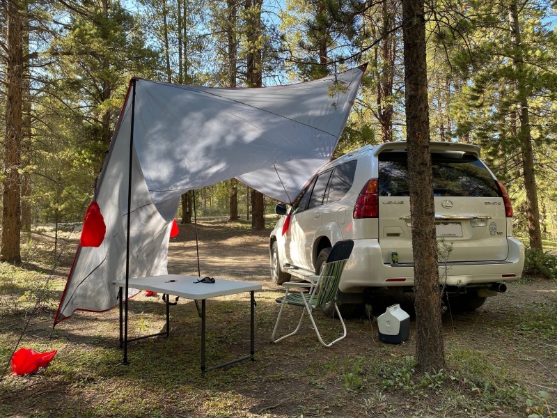
Seems there was nothing to do but set-up camp...
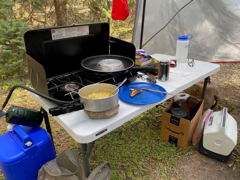
Grab some dinner...
Hang out at the campsite and get ready for a longer than originally planned hike the following day.
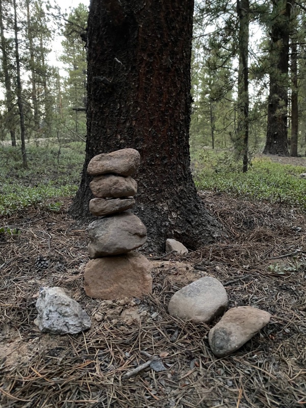
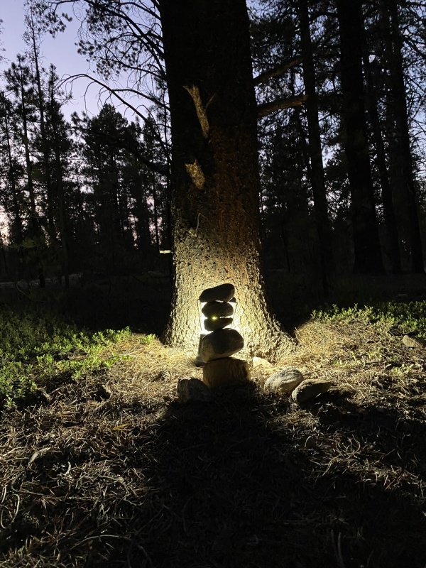
Building a cairn for something to do.
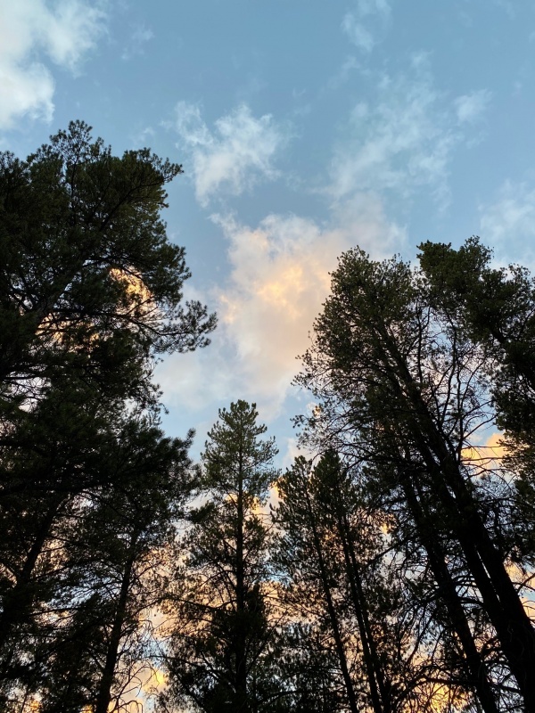
Night time setting in.
That cairn is starting to freak me out! It must mean it's time for bed.
I started hiking at 6 am the next morning, knowing there would be additional miles to cover. Unfortunately, it dawned on me (pun intended) that the TH the hikers were referring to was the Mt Massive TH. The French group TH that I was going to was even farther away from the road closure. Nothing to do but keep moving.
After crossing the creek to get to the French group 4WD TH at 10,800' the road becomes very rough at points. Even if I had been able to drive to the creek as planned, I would've parked there and not tried to drive to the 10,800' TH. That road is too rough for me.
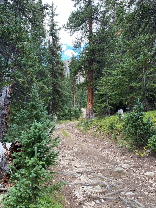
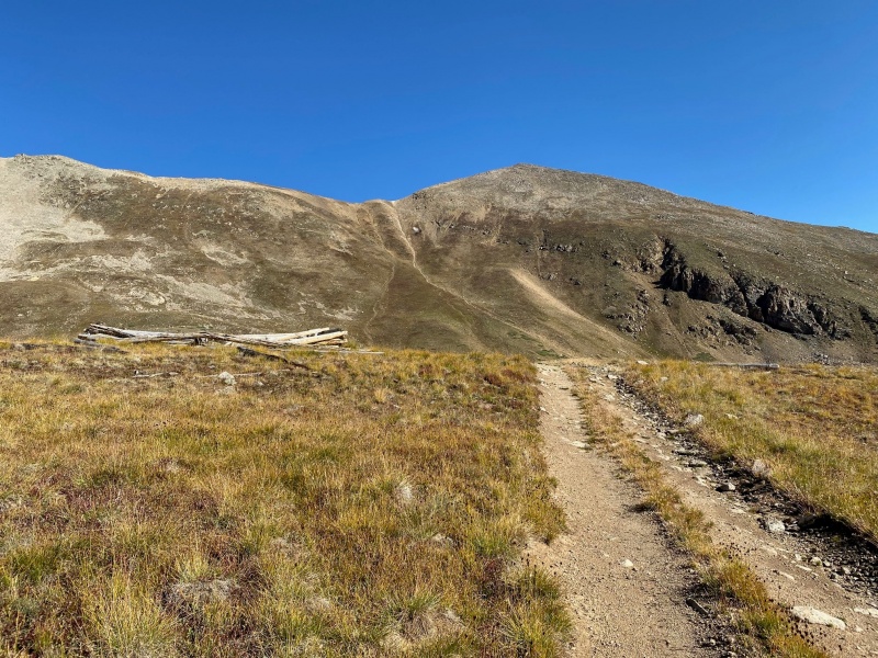
The road seemed to go on and on... Though there was some lovely scenery.
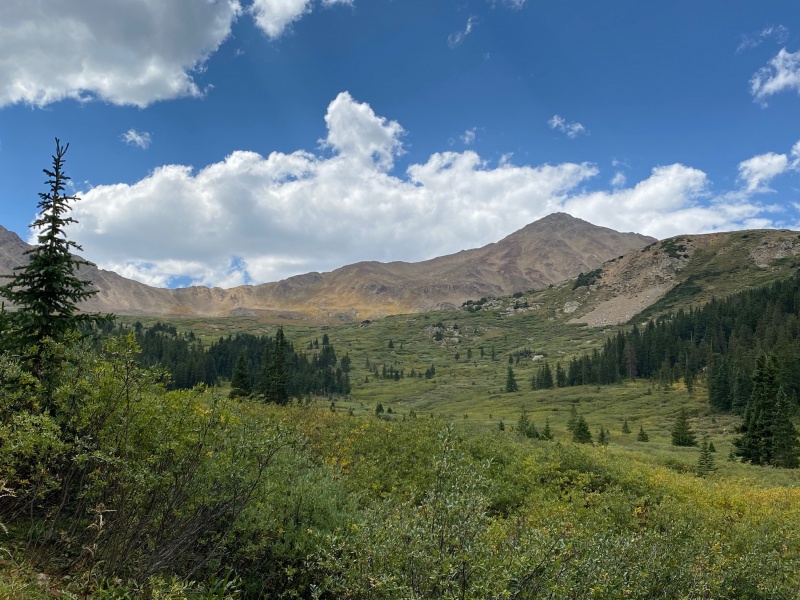
At last I reached a clearing and got my first glimpse of Casco peak. French Mountain and the Frasco Benchmark are to the right but not visible in the below.
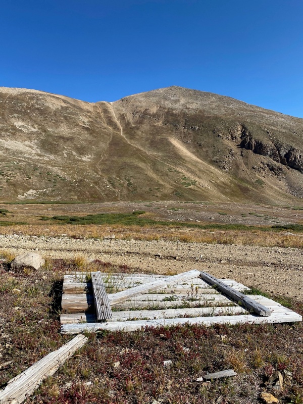
You stay on the road all the way until you reach the Iron Mike Mine. French Mountain is seen below, right of center.
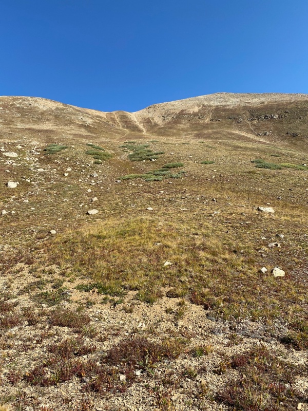
After Iron Mike's Mine you need to climb a relatively short but steep section to reach the 13,620' saddle.
A closer look at the climb, indeed the hardest part of the day.
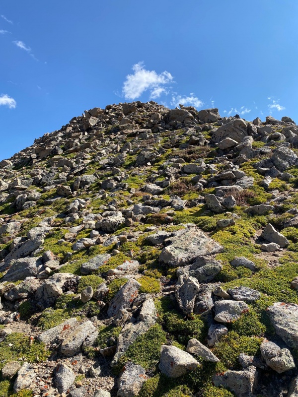
The reward for reaching the saddle? More climbing to reach the French Mountain summit! Just kidding. This last part of the route isn't as bad as it looks below.
After a type of false summit there's just a tiny bit further to go.
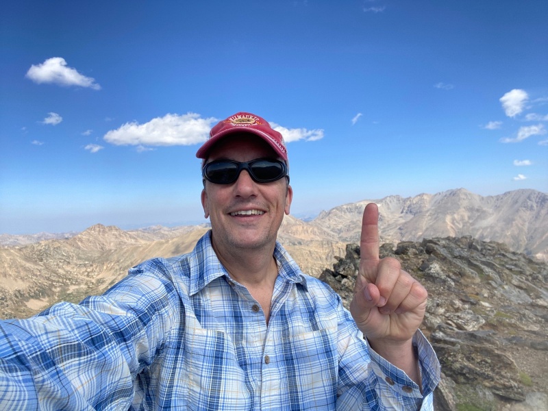
Until at last! Summit number one for the day.
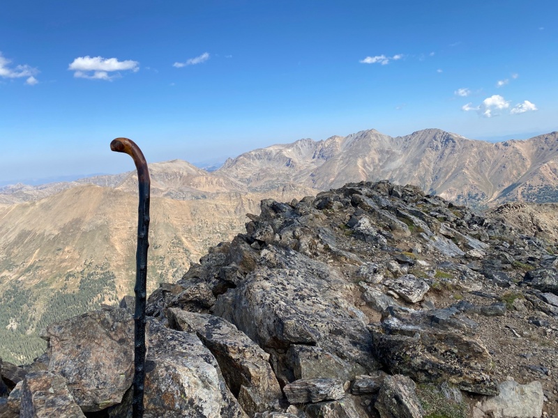
As has been my custom for my outings this year, I brought my Dad's cane along to the top.
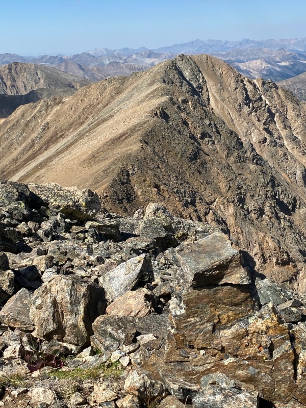
The original plan for the day was to ride the ridge and go for French, Frasco and Casco. Here's a look at the ridge to the Frasco Benchmark from the summit of French Mountain.
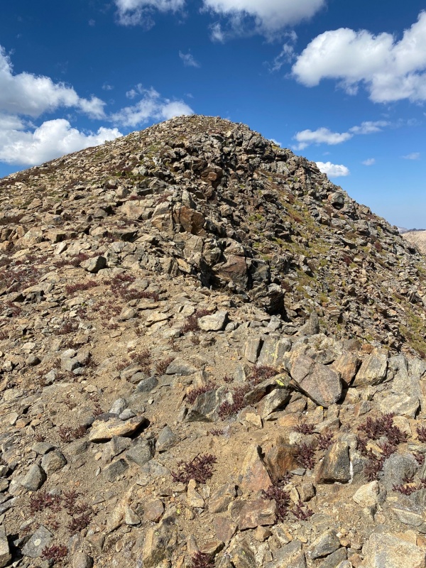
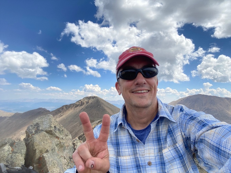
After expending additional energy hiking from the road closure I figured it was time to get moving. A little closer to the Frasco Benchmark summit.
I was happy to have made my second summit for the day.
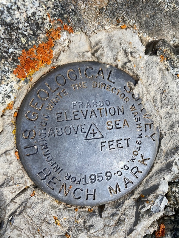
What the heck is a Benchmark anyway?!?
I was on Frasco later than I had hoped and I was feeling a bit worn out with the extra miles on my body. Given all that, I decided the prudent thing to do was to bag the rest of the ridgeline and Casco Peak and simply head down from Frasco and begin the long walk back to the car.
But before doing that I had one last tribute to make.
In memory of Larry Baker, 11/30/33 - 12/15/20.
Rest in Peace Dad.
Thumbnails for uploaded photos (click to open slideshow):
Here is to Larry and his way awesome son. 9/13/2021 11:35am
Great report and I love the tribute to your Dad. Looks like a great route and Casco Peak will be there when you are ready. :)
Caution: The information contained in this report may not be accurate and should not be the only resource used in preparation for your climb. Failure to have the necessary experience, physical conditioning, supplies or equipment can result in injury or death. 14ers.com and the author(s) of this report provide no warranties, either express or implied, that the information provided is accurate or reliable. By using the information provided, you agree to indemnify and hold harmless 14ers.com and the report author(s) with respect to any claims and demands against them, including any attorney fees and expenses. Please read the 14ers.com Safety and Disclaimer pages for more information.
Please respect private property: 14ers.com supports the rights of private landowners to determine how and by whom their land will be used. In Colorado, it is your responsibility to determine if land is private and to obtain the appropriate permission before entering the property.


")
")
")
")
")
")
")
")
")
")
")
")
")
")
")
")
")
")
")
")

