Log In 
Report Type 
Full
Peak(s)  
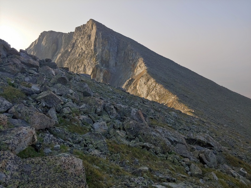
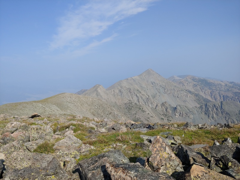
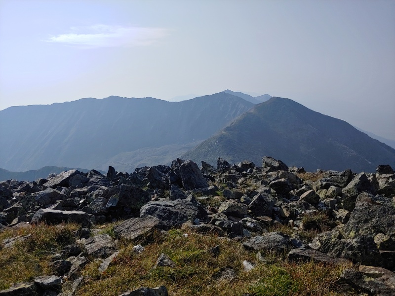
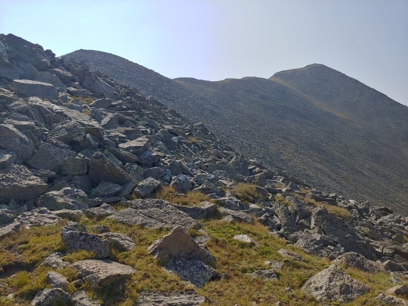
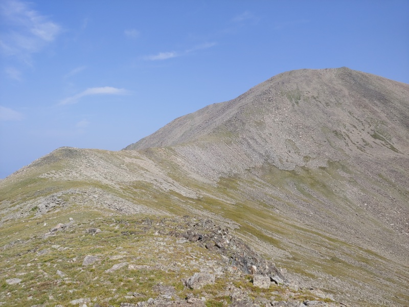
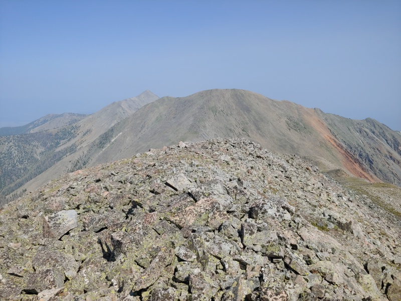
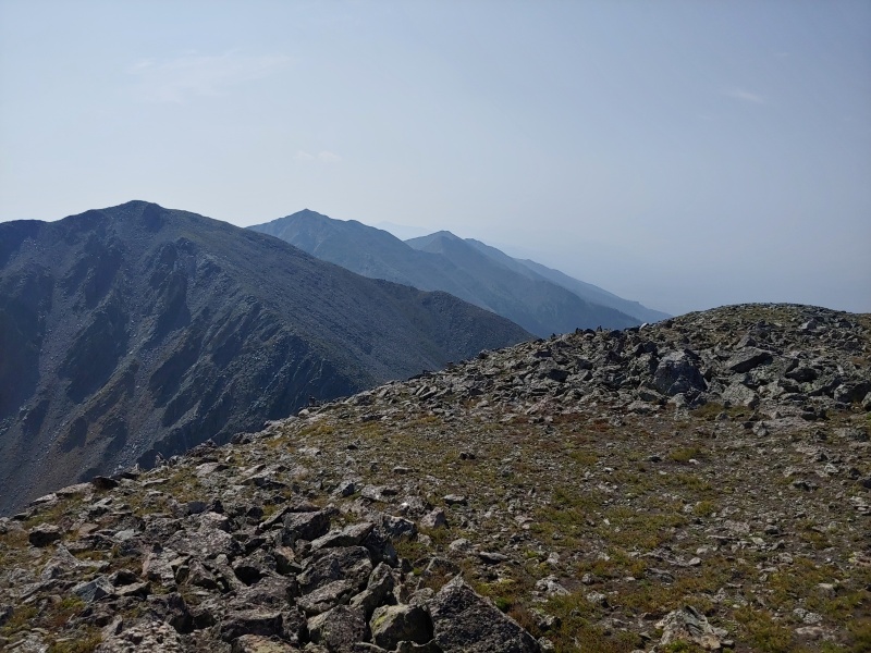
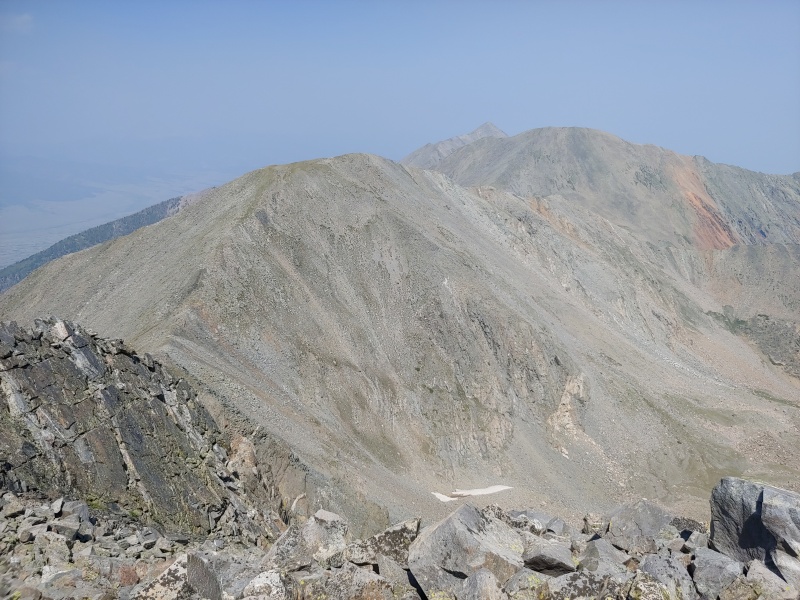
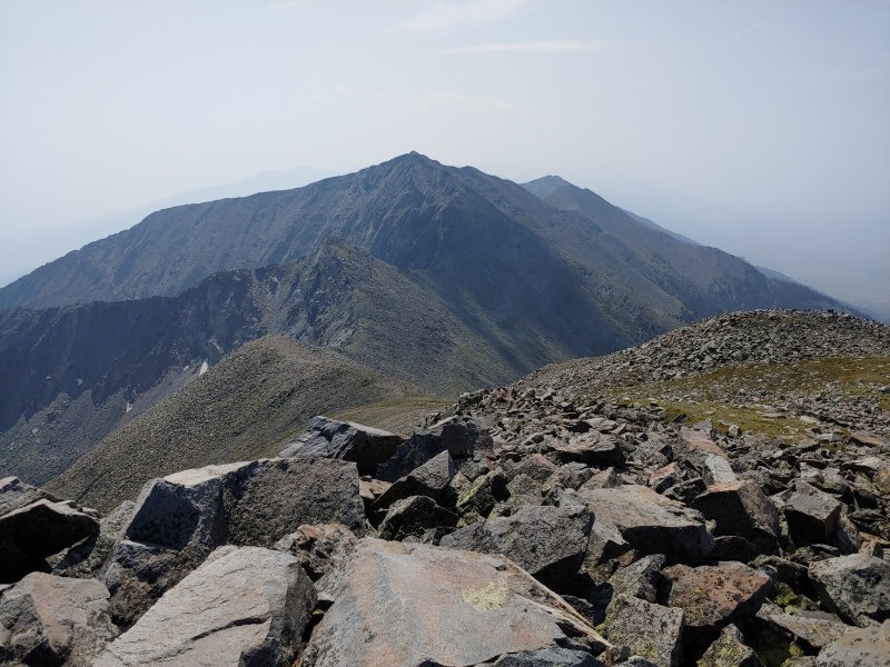
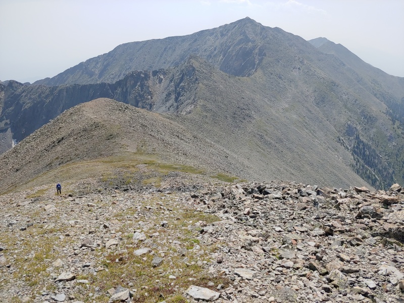
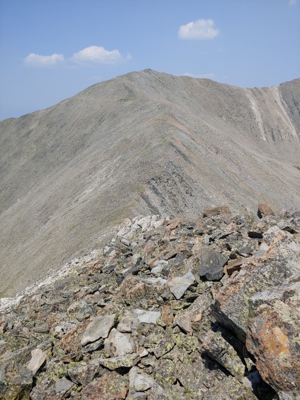
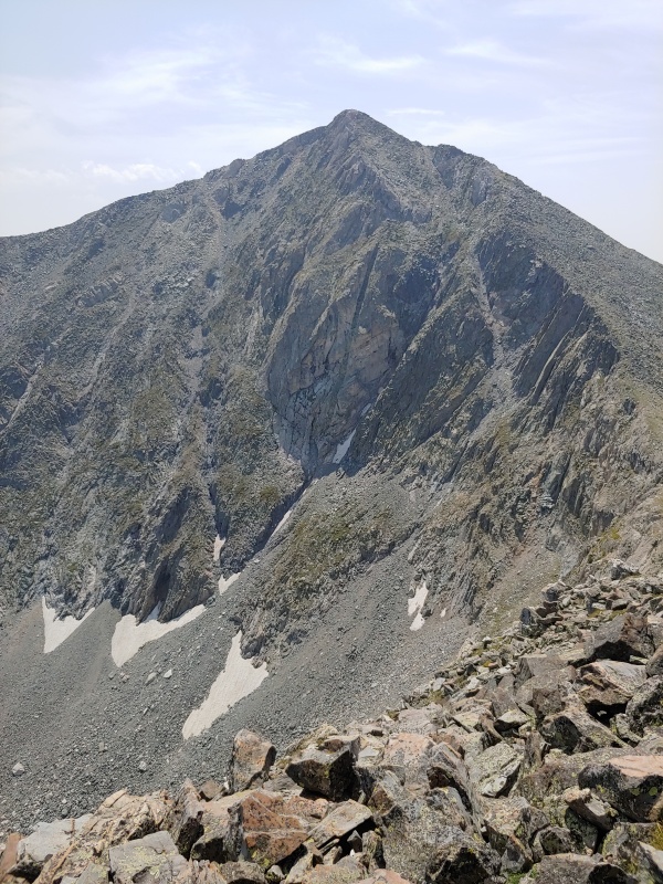
Hunts Peak  -  13,061 feet
Red Mountain (12,994')
Unnamed 12,924'
Twin Sisters North  -  13,009 feet
Bushnell Peak  -  13,112 feet
Date Posted  08/15/2021
Modified  09/05/2021
Date Climbed   08/11/2021
Author  Mtnman200
Additional Members   RandyMack
 When The Sun Meets The Sky   

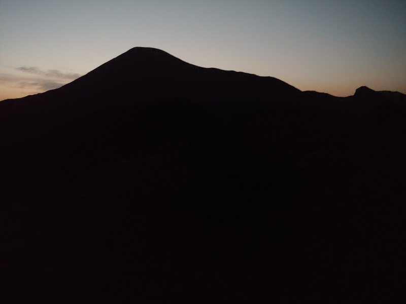
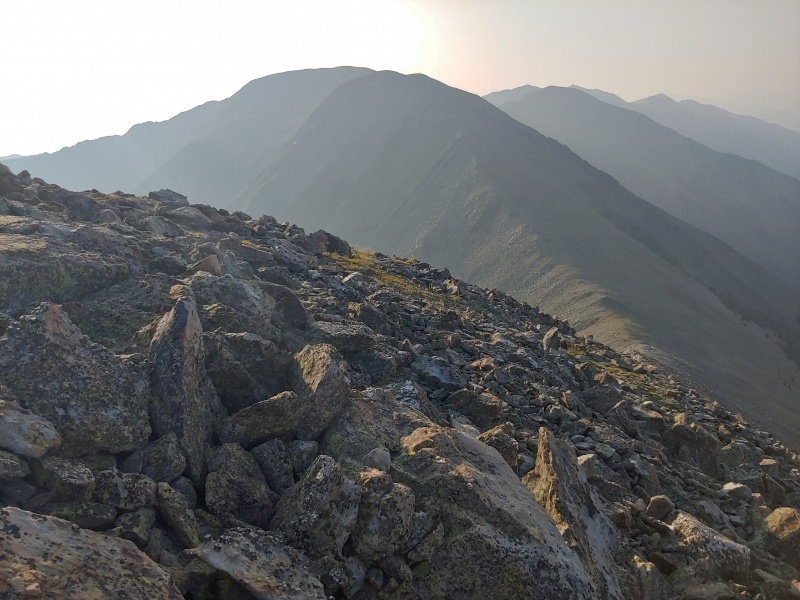
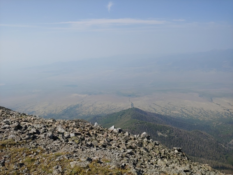
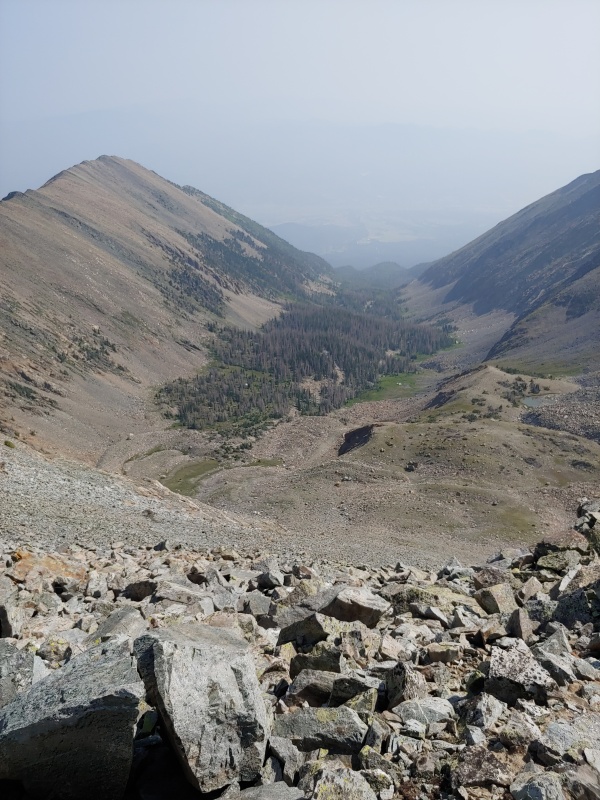
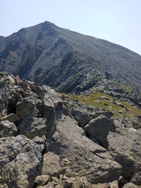
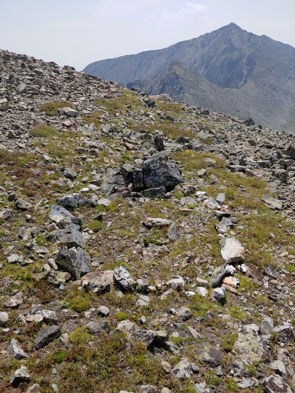
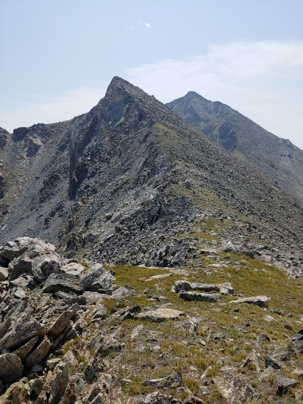
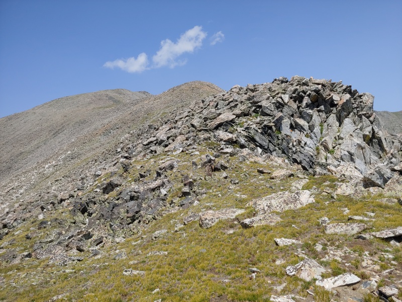
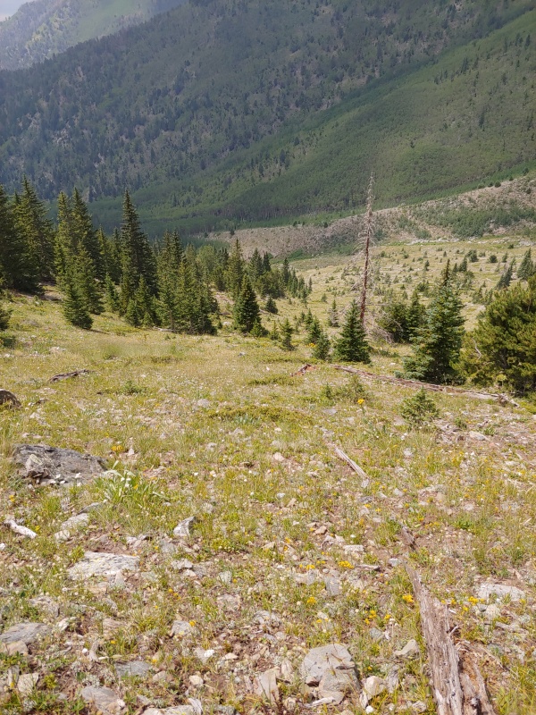
Tuesday, August 10, 2021. Randy suggested doing a ridge run from Hunts Peak to Bushnell Peak in the northern Sangre de Cristos, but the weather was uncooperative for several weeks in a row. Finally, we had a good forecast, with only a 10% chance of rain.

To make this work, we took two vehicles so we could do the ridge run one-way. It was an easy choice to go from north to south (i.e., Hunts Peak to Bushnell Peak) because the starting point for Hunts Peak is higher.

Randy and I drove south on U.S. 285 over Poncha Pass to County Road NN56 (about 11.5 miles south of the pass and about 0.8 mile north of Villa Grove). We followed CR NN56 east to a T-intersection where we turned left (north) on CR 57 and then right (east) on Forest Road 985 after about three miles. FR 985 is drivable to about 9200', but Randy parked his 4Runner at 8600' (due to lots of gambel oak encroaching on the road). We then drove back down the road in my 4Runner.

Back at U.S. 285, we drove north 6.5 miles to an unmarked road several hundred feet north of mile marker 114. In a little over a half mile, this road takes you to FR 980. In about another three miles we stopped at a nice campsite at the intersection of FR 980 and FR 982 (latitude 38.389245; longitude -105.987853).

Maps showing the way to the Bushnell Peak trailhead and Hunts Peak trailhead are available on the Climbing Cooneys Climb13ers.com website.

Wednesday, August 11, 2021. Randy and I drove southeast about 3/4 mile on FR 982 and parked just before the road crosses South Rock Creek.

21257_01
Randy's new Petzl headlamp lights up the crossing of South Rock Creek just south of a small parking area that has room for two or three vehicles (All photos by Randy Mack)

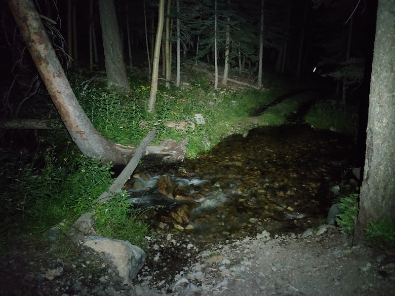
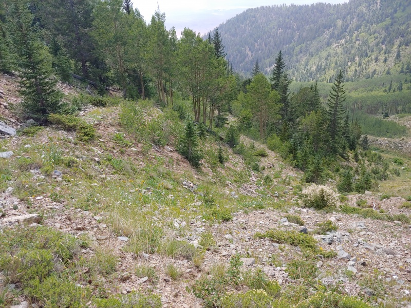
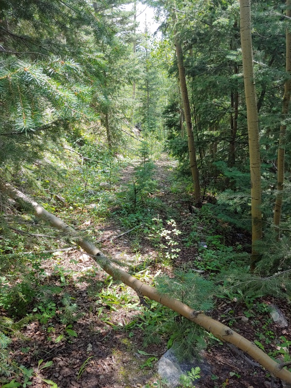
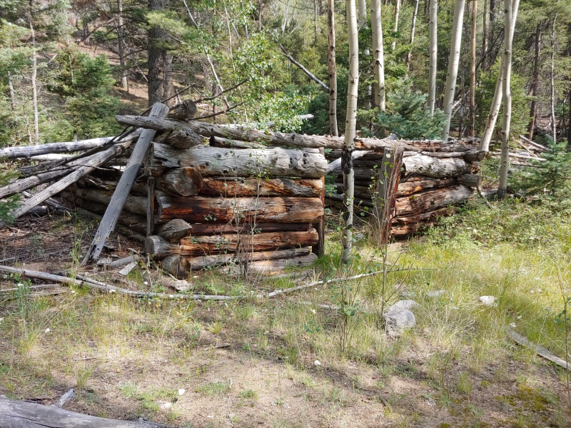
Once across the creek, we turned left (northeast) on an old road that obviously hadn't been driven in a long time and had no shortage of downed timber.

21257_02
The overgrown road enters a burn area (from the 2013 Ox Cart Fire) filled with the ghostly silhouettes of dead trees

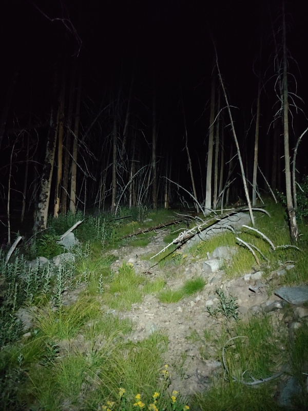
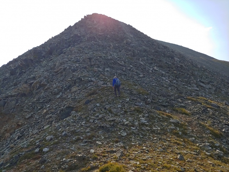
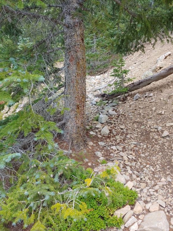
We continued up the road to a switchback at 10,821'.

21257_03
At a cairn at the 10,821' switchback, we left the road and climbed steeply ESE toward the west ridge of Hunts Peak


21257_04
Above timberline, the slope eased and became rockier


21257_05
From a knoll at 12,100' on Hunts Peak's west ridge, Hunts Peak is silhouetted to the east in the early morning light

We took a food/water break and put away our headlamps while daylight rapidly arrived..

21257_06
The west ridge of Hunts Peak is never harder than Class 2, and it didn't take long to reach the summit of Hunts Peak


21257_08
Looking south from the summit of Hunts Peak toward our upcoming objectives; the haze is due to the Bootleg Fire in Oregon


21257_09
The summit cairn on Hunts Peak


21257_10
A 12,705' ridge point between Hunts Peak and Red Mountain that we had to climb over


21257_11
Atop the 12,705' ridge point, Red Mountain came into view


21257_12
Almost to the summit plateau of Red Mountain


21257_13
After topping out on the summit plateau of Red Mountain, all that remained was an easy stroll to the true summit (on the left).


21257_14
Looking back at Hunts Peak from the summit of Red Mountain


21257_15
Twin Sisters North (left) and Unnamed (UN) 12,924 (right) from the summit of Red Mountain


21257_17
Looking toward UN 12924 from the saddle between Red Mountain and UN 12924


21257_18
Looking back at Red Mountain from the saddle


21257_19
Looking back at Red Mountain from the summit of UN 12924; we assume that the red streak seen on the right inspired the name of the mountain


21257_20
Twin Sisters North (left), Bushnell Peak (center), and a distant Mt. Otto (12,865') from the summit of UN 12924


21257_55
Looking southwest toward the San Luis Valley from the summit of UN 12924


21257_22
Looking northeast from the summit of UN 12924


21257_24
Starting the ascent of the west ridge of Twin Sisters North


21257_25
UN 12924, Red Mountain, and a now-distant Hunts Peak from the summit of Twin Sisters North


21257_26
Bushnell Peak from the summit of Twin Sisters North. The high point between Twin Sisters North and Bushnell Peak is the unranked Twin Sisters South (12,730')


21257_27
Looking northeast at Stout Creek Lakes from the ridge southeast of Twin Sisters North


21257_28
Making our way toward Twin Sisters South and Bushnell Peak


21257_29
We hiked past this odd arrangement of rocks between the Twin Sisters that somewhat resembled a grave


21257_32
A closer look at the Stout Creek Lakes to the northeast from between Twin Sisters


21257_33
Twin Sisters South and Bushnell Peak


21257_34
Looking back toward Twin Sisters North from the same location as the previous photo


21257_35
Twin Sisters North from the summit of Twin Sisters South


21257_36
Bushnell Peak from the summit of Twin Sisters South

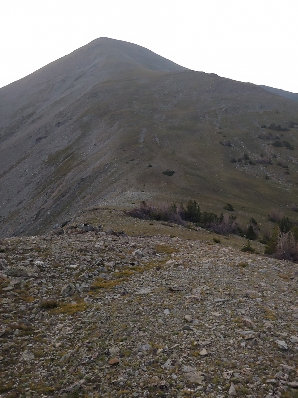
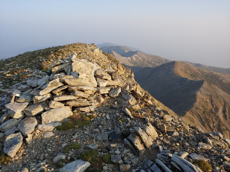
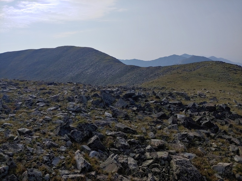
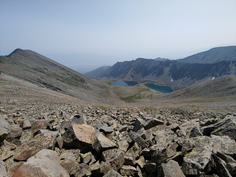
I later learned from Lists of John (https://www.listsofjohn.com/) that Twin Sisters South is my 500th Colorado summit. (This includes peaks of any elevation as well as ranked and unranked summits).

21257_37
Almost to the summit of Bushnell Peak (left)


21257_39
Looking north toward Twin Sisters North from the summit of Bushnell Peak; Twin Sisters South is hidden by Bushnell's summit block. Hunts Peak is quite far away in this photo


21257_40
Bushnell Peak's summit included a post and a some wire


21257_42
Looking NNE from the summit of Bushnell Peak toward the highest of the Bushnell Lakes


21257_43
Looking south toward Mt. Otto from the summit of Bushnell Peak; on a clear day, the Sangre de Cristos wouldn't be lost in smoke from the Bootleg Fire in Oregon


21257_44
Looking west from the summit of Bushnell Peak; our descent route takes this ridge to timberline and then descends into the valley to the right


21257_45
This is where we left the west ridge of Bushnell Peak and headed into the valley to intercept...


21257_46
...the road that would take us to Randy's 4Runner


21257_48
Given the size of some of the trees in the road, it's clear the road has not been seen traffic in many decades


21257_49
The road is being taken over by nature but is easy to follow


21257_50
This cabin along the road is definitely a fixer-upper


21257_51
Lower down, the gambel oak is ready to give your vehicle a racing stripe if you drive this road

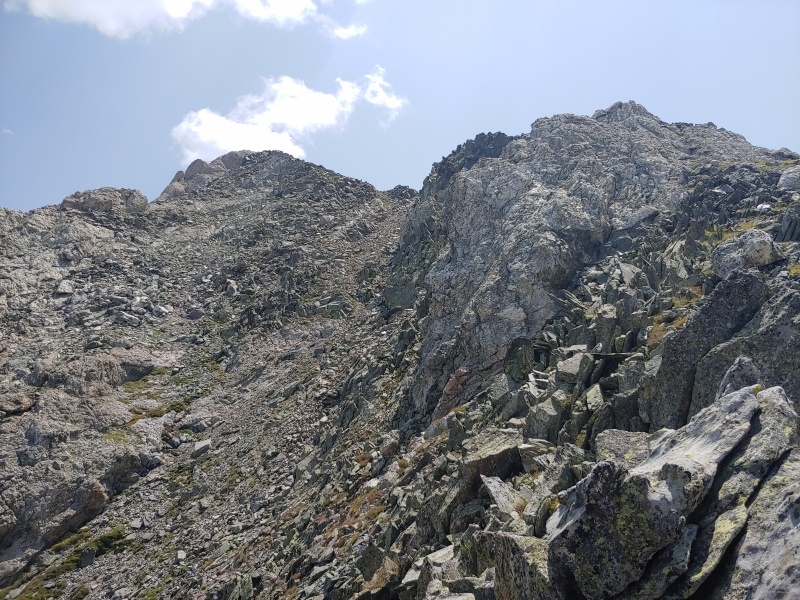
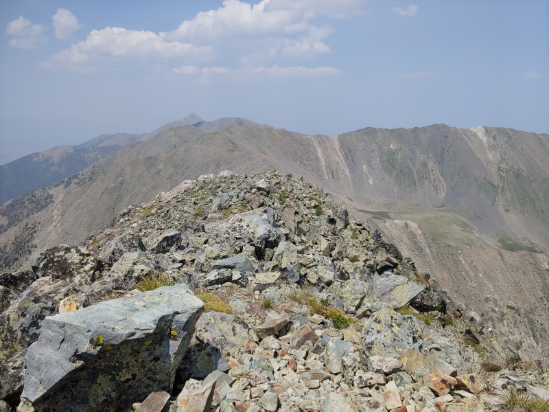
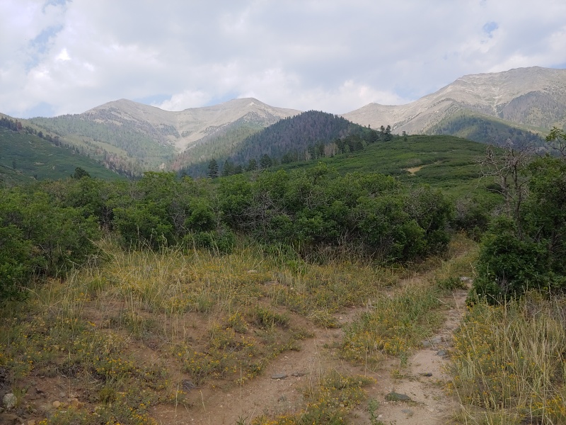
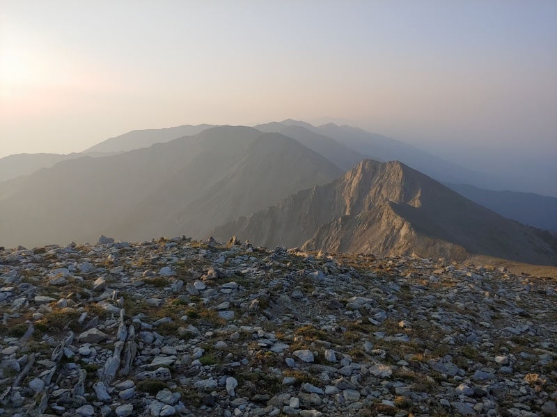
It was nice to finally see Randy's 4Runner. It was also nice to have some cloud cover as we headed into the desert.

21257_53
On the way to retrieve my 4Runner from the Hunts Peak trailhead near South Rock Creek, we took a photo from U.S. 285 of the peaks we had just traversed

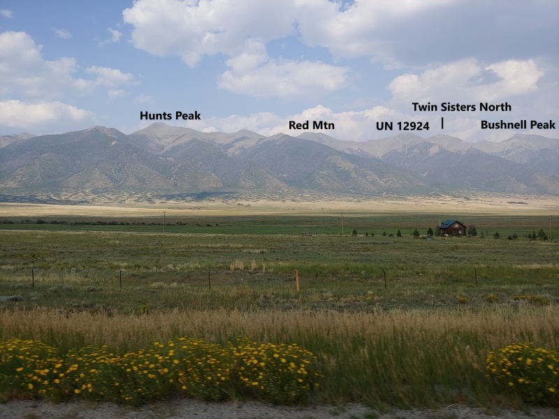
If you have two vehicles, this ridge run allows you to summit five ranked peaks (three 13ers and two 12ers) and an unranked 12er. Hunts Peak to Bushnell Peak is the way to go, unless you are a glutton for punishment and have an uncontrollable urge to start at 8600' instead of 9660' or to scratch the paint on your vehicle driving to 9200' (and still start lower than 9660').


Thumbnails for uploaded photos (click to open slideshow):
1 2 3 4 5 6 7 8 9 10 11 12 13 14 15 16 17 18 19 20 21 22 23 24 25 26 27 28 29 30 31 32 33 34 35 36 37 38 39 40 41 42 43 44 45


Comments or Questions
   Not registered?


Caution: The information contained in this report may not be accurate and should not be the only resource used in preparation for your climb. Failure to have the necessary experience, physical conditioning, supplies or equipment can result in injury or death. 14ers.com and the author(s) of this report provide no warranties, either express or implied, that the information provided is accurate or reliable. By using the information provided, you agree to indemnify and hold harmless 14ers.com and the report author(s) with respect to any claims and demands against them, including any attorney fees and expenses. Please read the 14ers.com Safety and Disclaimer pages for more information.

Please respect private property: 14ers.com supports the rights of private landowners to determine how and by whom their land will be used. In Colorado, it is your responsibility to determine if land is private and to obtain the appropriate permission before entering the property.