| Report Type | Full |
| Peak(s) |
Meeker Ridge - 13,861 feet Mt. Meeker - 13,916 feet Southeast Longs 14060 Longs Peak - 14,259 feet Pagoda Mountain - 13,488 feet Storm Peak - 13,323 feet Mt. Lady Washington - 13,277 feet Battle Mountain 12044 Pine Ridge 11909 Estes Cone 11011 |
| Date Posted | 08/08/2021 |
| Date Climbed | 08/05/2021 |
| Author | jessesumrak |
| Radical Slam Deluxe - Ten Tadasanas |
|---|
|
I’ve been eyeing Gerry Roach’s Nesotaieux's Ten Tadasanas for a few years now, but weather kept thwarting my plans. Last year, I even had a friend from Utah fly out in September to do the attempt with me, but a snowstorm the night before cancelled our plans. This year, I made the deluxe version of the Radical Slam a priority, and I took off work when weather looked to be perfect (thankfully, that held true). Here’s what the adventure would entail:
17 hours of hiking, and I’d finish it. Two friends, Ben and Andrea, joined me at the Longs Peak Trailhead at 2:30am on Thursday, August 5, 2021. We started off at quick pace up the trail, joined by a surprising number of people for what I thought was a day off work. We split from the main groups heading up to the Keyhole Route at the Chasm junction and began our hike towards Chasm Lake. Now, everyone we saw was carrying ropes and gear for what seemed to be an awesome day of climbing. Climbers asked if we were free soloing…yeah, not quite. We split from the trail at the base of the hike up to Chasm Lake and began making our way up a social trail along the water drainage. We began climbing some larger boulders as we made our way up the hill, then we began to veer to the left (east) to start searching for the Irons Gates route rather than the Loft route. It wasn’t quite light out yet, so it was hard to tell which of the towers we were header for, but my GPS helped us get our bearings. 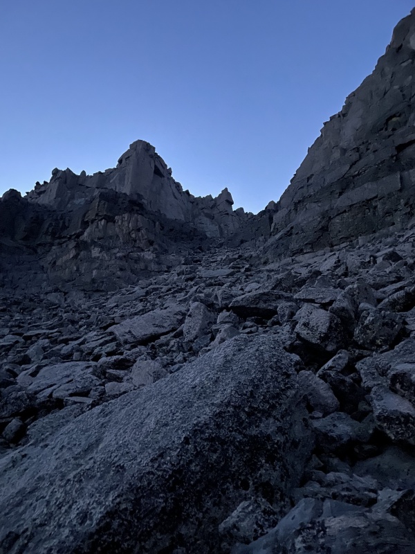
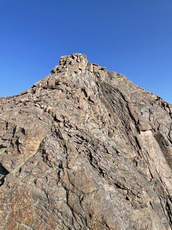
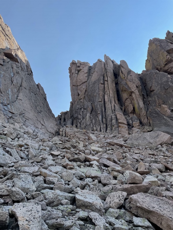
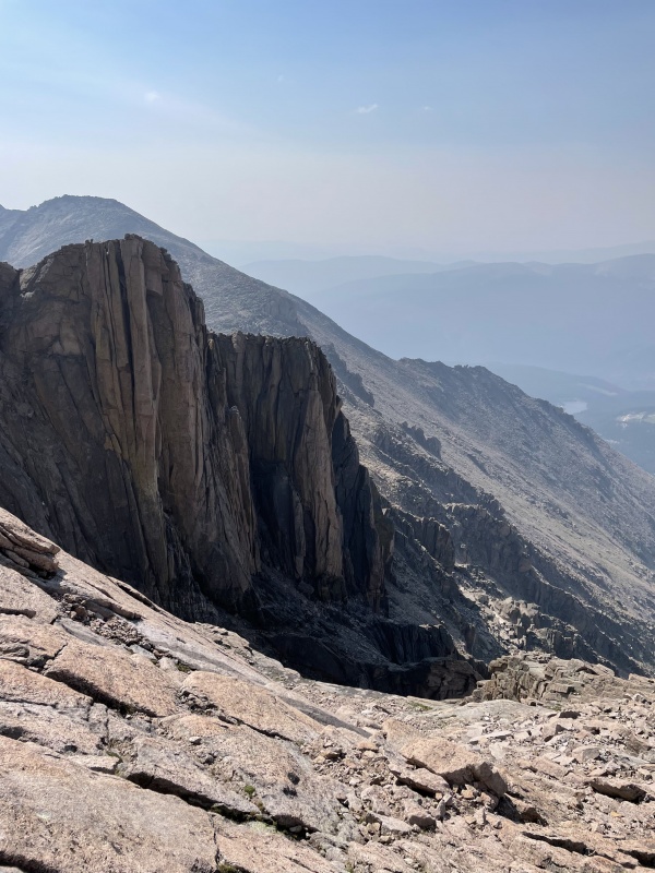
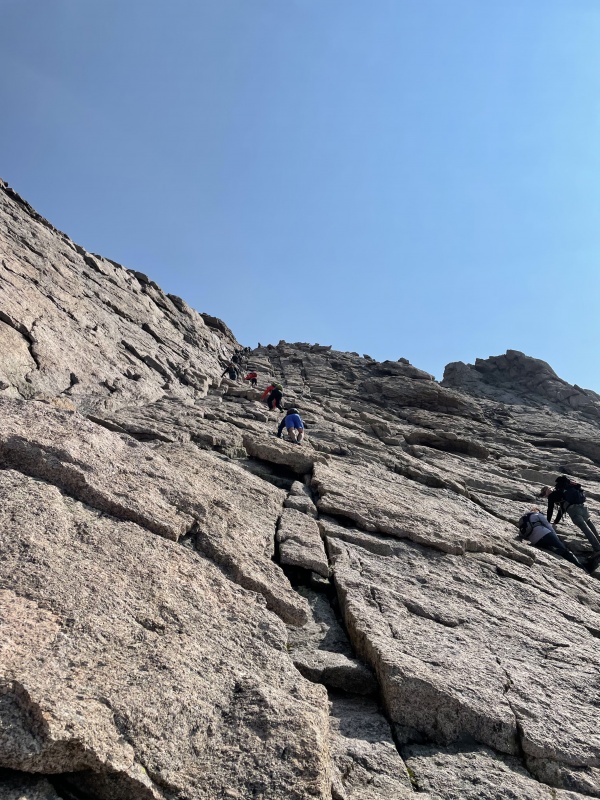
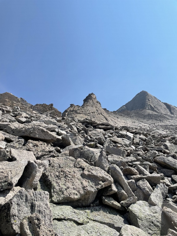
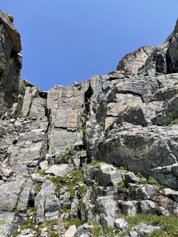
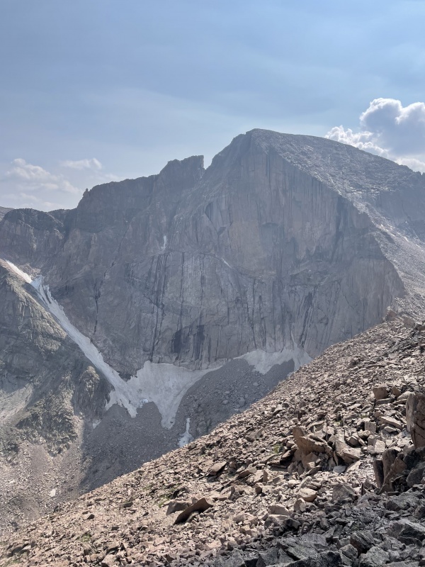
The climb up the Iron Gates was steep and full of loose rock. We didn’t knock any down, but I wouldn’t have wanted to be under us, that’s for sure. We made progress up to the ridgeline, enjoying views of Longs Peak and Chasm Lake as the sun began to rise. We were going a lot slower than I had expected, having not anticipated what a slog it would be to the ridge. One fun little Class 3(ish) move to reach the ridge, but no real exposure on the move. 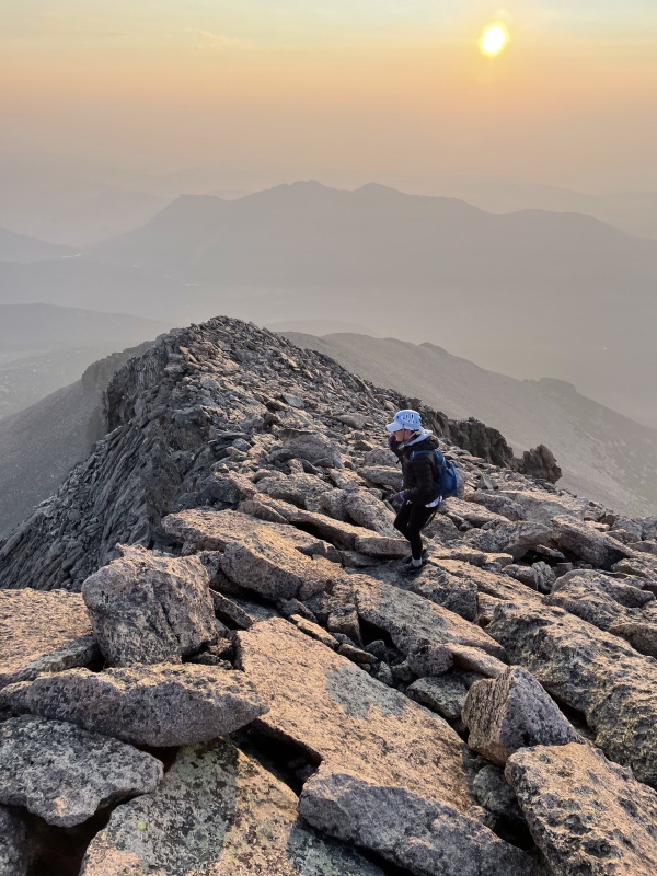
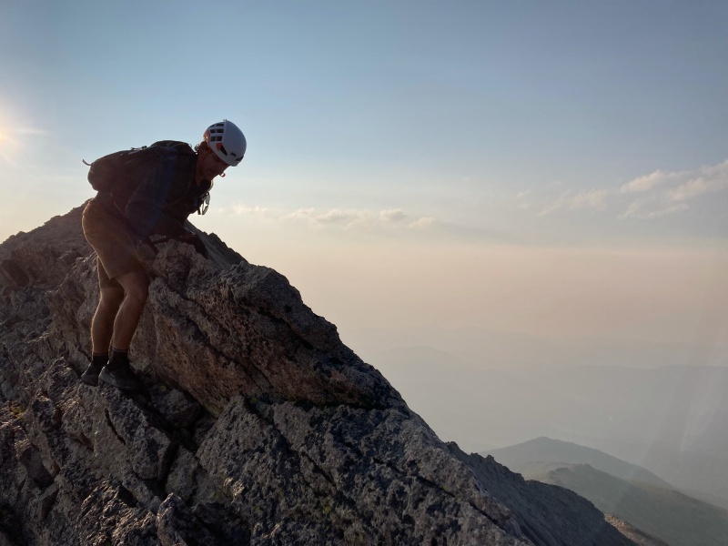
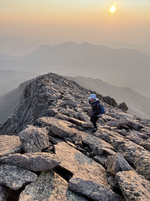
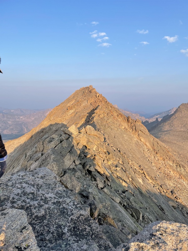
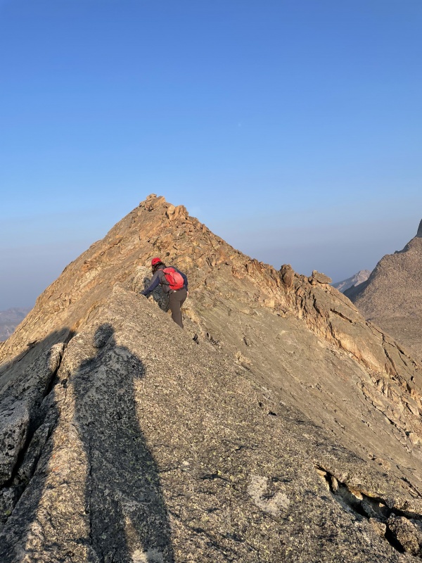
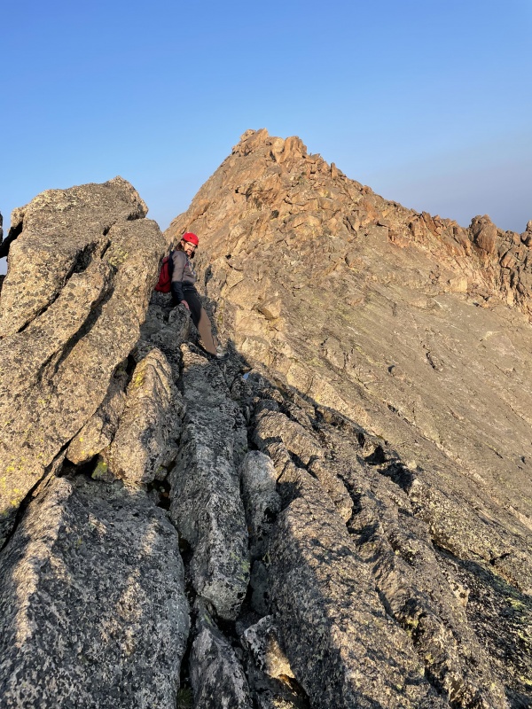
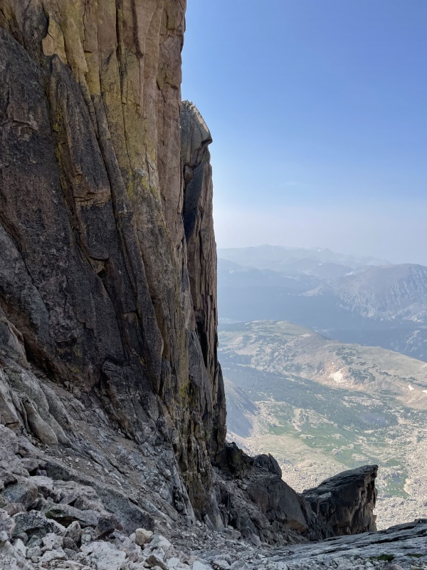
The ridge was fun and straightforward. You can stick as far left as you’d like or flirt with the ridgeline—we did a little in between as we made our way up. We hit Meeker Ridge and stopped for a short snack while we scoped out the knife edge. I’d never done a knife edge or something of that exposure before, so I was a bit intimidated, but I moved quick before I overthought it. I made the mistake of trying to go to low to reach the knife edge, but it’s better to stay high(er). We made it to the knife edge, and there were a couple of options. You could sidestep on top of the knife edge on the north side, grasping the edge and looking south. Or, you could flirt on some ledges on the north side of the knife edge and bypass some of the breezier exposure. I chose the higher option (thinking it’d give me better training for Capitol in the future). It was a lot easier than I thought it would be, and we made quick progress up to the true summit. 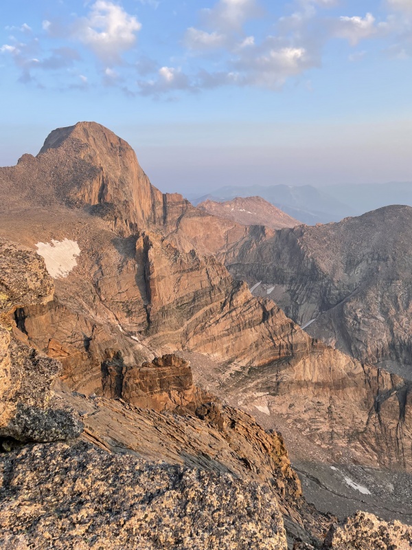
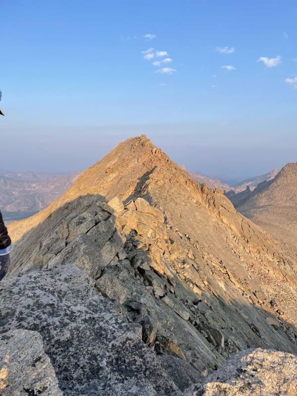
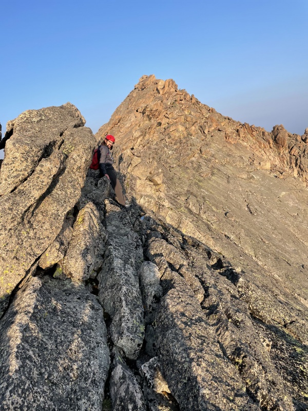
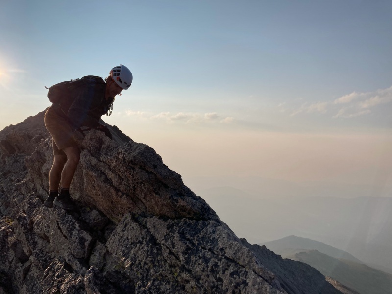
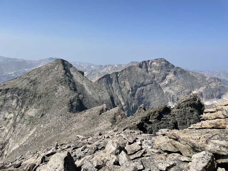
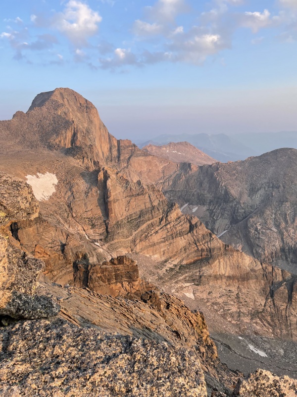
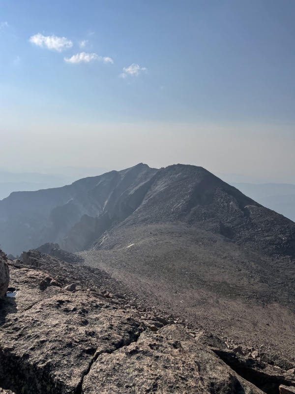
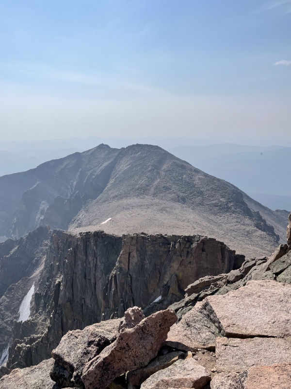
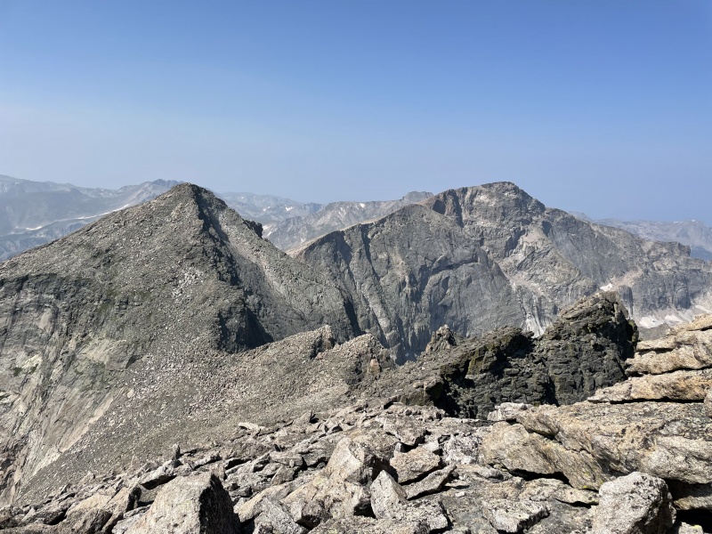
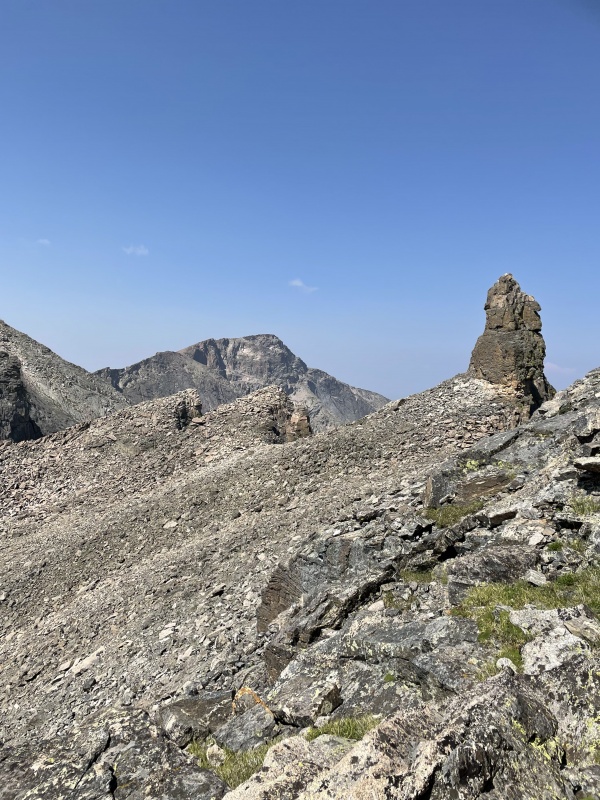
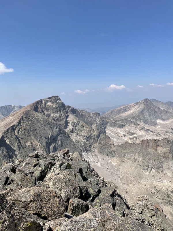
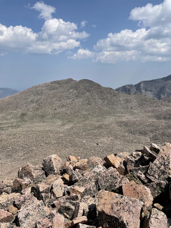
We made our way down a social trail to the Loft, and then my friends ended their journey and descended the Loft route back to the trailhead. I continued on my way up Southeast Longs and made it up and down in probably about 30 minutes. Here's a video of a quick view from the top of Southeast Longs. Great views of the top back at Meeker, though I was a little too scared to look down straight into the notch. Trying to beat any potential foul weather, I skipped any rest breaks and continued my way on the Loft route up Longs Peak. 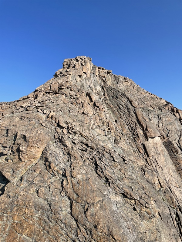
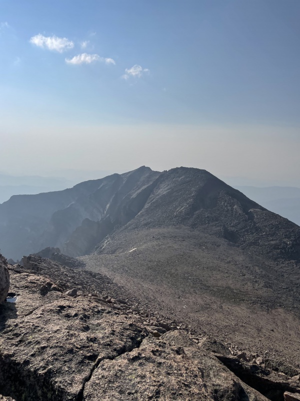
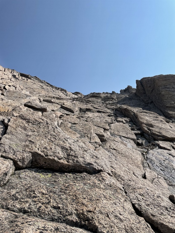
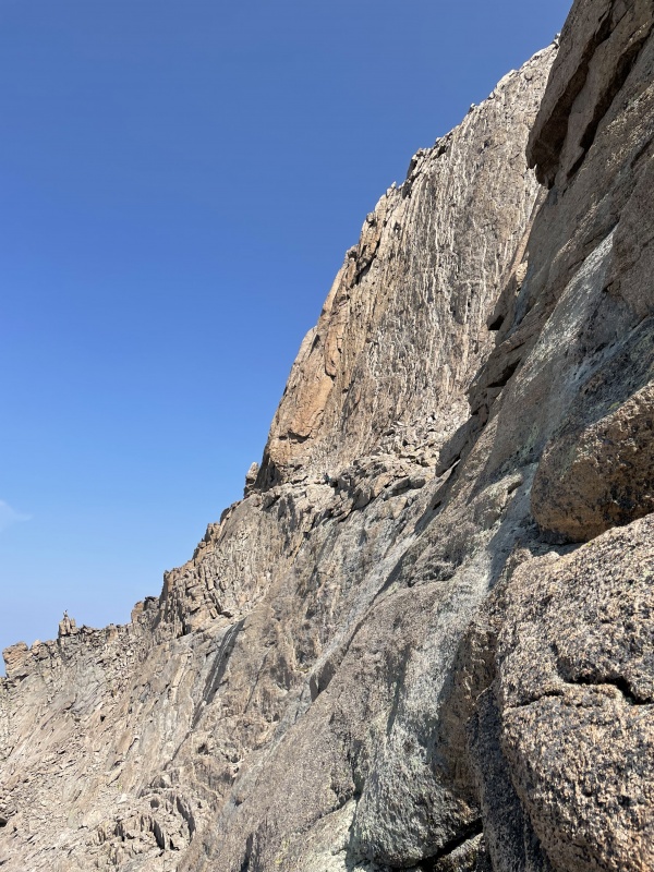
Well…it wasn’t as straightforward as I hoped it would be. I had studied the route online and in Gerry Roach’s books, and it seemed to be well cairned, and I knew where I’d be looking for Clark’s Arrow. I never saw either. I took the wrong route into dangerous notches twice and got cliffed out before back tracking and almost giving up. Fortunately, I received a text message and had about 60 seconds of signal to look up the route again on 14ers.com (bless you). I quickly screenshot some photos, and they helped me find the entrance to the Loft route, but I didn’t have enough signal to get anymore beta. I looked for the cairns in the photos, but I couldn’t find them (I don’t know if they fell over or were dismantled. If anyone else had the same issues recently, I’d love to hear about it). It was my fault for not doing enough research to not rely on the cairns, but I pressed on down what seemed to be the path. I don’t know what I followed, and that’s why I’m not sharing any photos of where I went. It seemed sketchy, and I definitely did some difficult Class 4 down climbs (maybe Class 5 in areas), which leads me to believe I got off route. 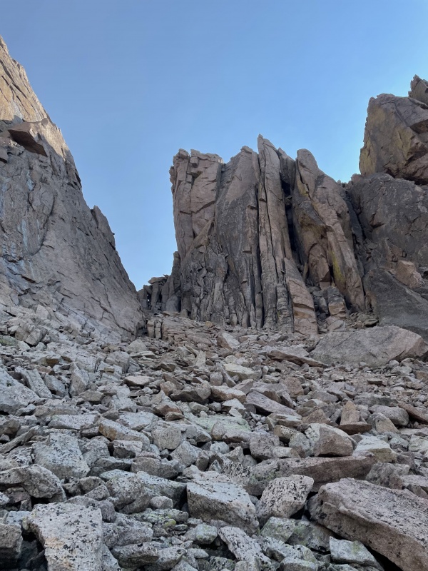
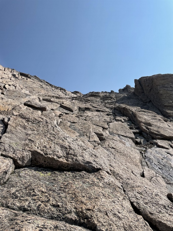
Regardless, I finally met up with Keplingers Couloir and made my way up to the notch before skirting to the left and finding my way up to the Homestretch portion of the Keyhole route. The portion connecting to the Homestretch was a little dicey (I’d say 1.5x harder than anything on the Homestretch, but I found nice and firm rock to hold on to as a I made my way up. 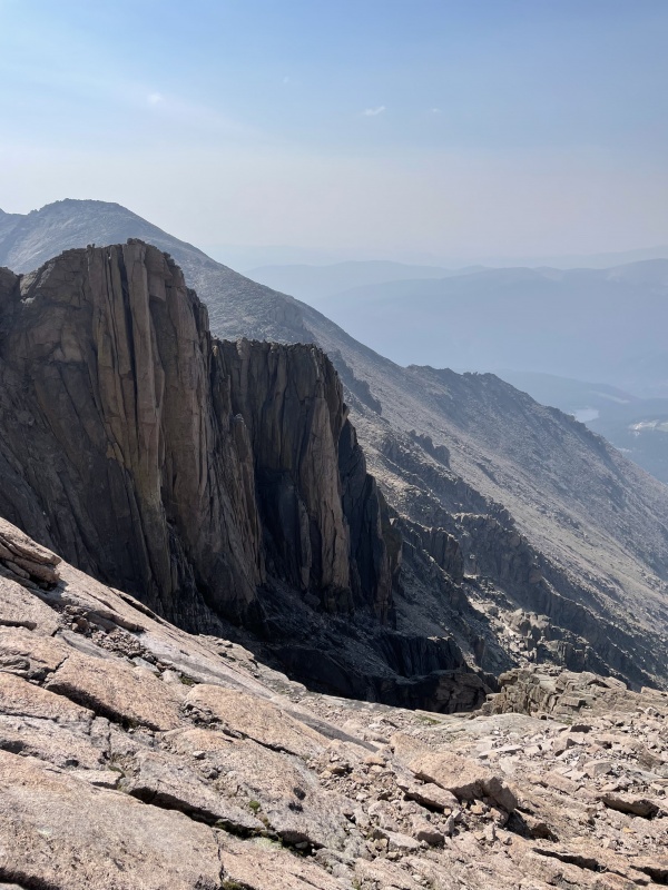
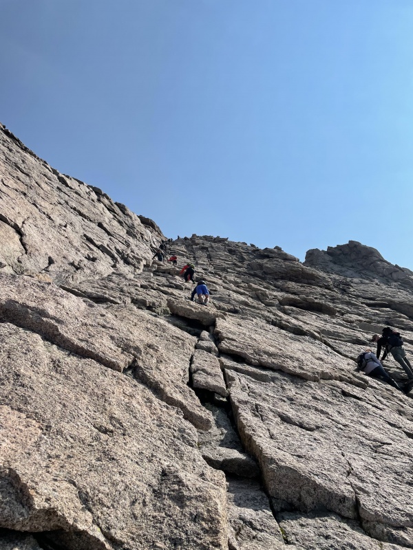
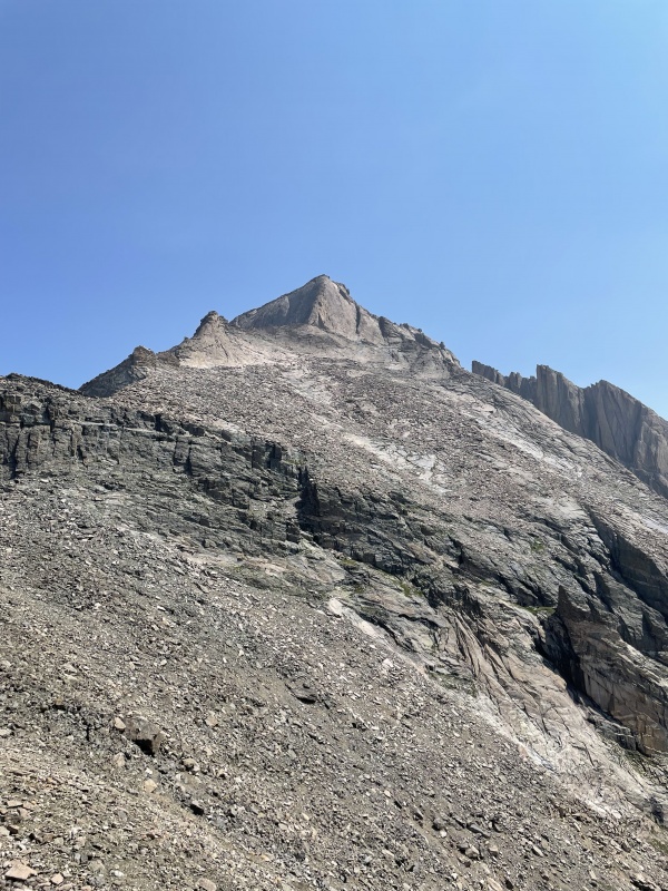
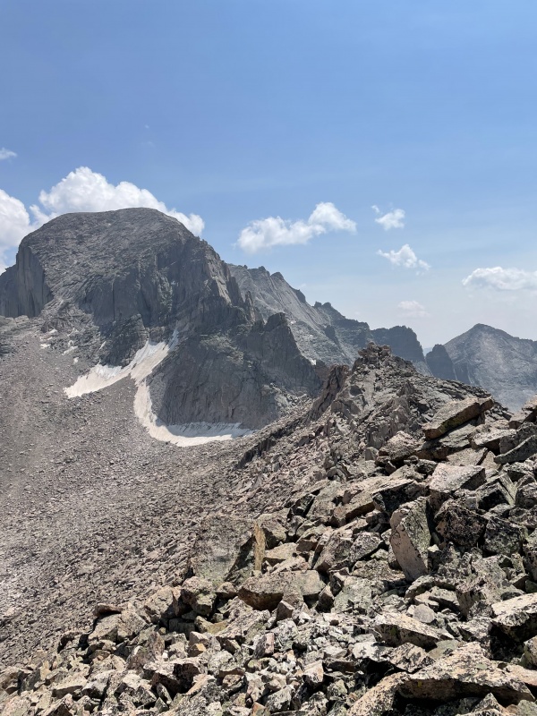
Made quick work of the Homestretch, passing a few people on the way up before taking a super short break on Longs and beginning my descent. Funny enough, I found my descent of the Homestretch surprisingly sketchy (despite having done it 3 years ago and already doing 2x more difficult stuff throughout the day) because it was so slippery and oily. Ugh, too many hands. Got on down from the Homestretch and met up with the Narrows before looking for my descent gully for the Pagoda traverse. I overshot it and went about 25 yards to far on the Narrows. I descend and got cliffed out (again, Class 4, my fault) before realizing I was not in a good place and backtracking. Got back up and continued back towards the Homestretch before spotting a save Class 3 gully to descend. Finding the right route, it was quick progress over to the Keyboard of the Winds. However, I will not, oddly enough the boulders along this path were the most deceiving boulders of my entire life. While I’d say it’s entirely Class 3, my 160-pound frame somehow managed to teeter-totter a surprising number of 10,000+ rocks. 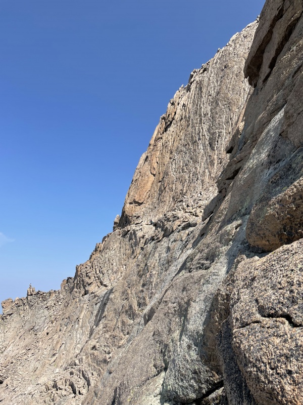
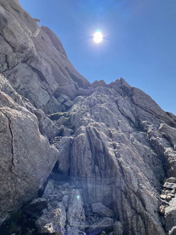
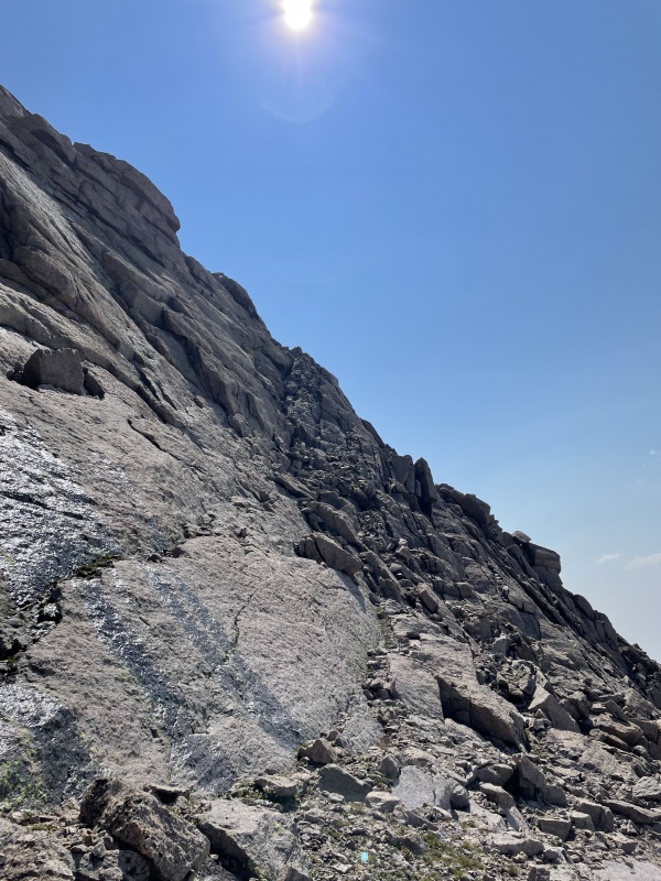
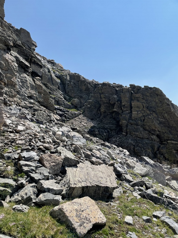
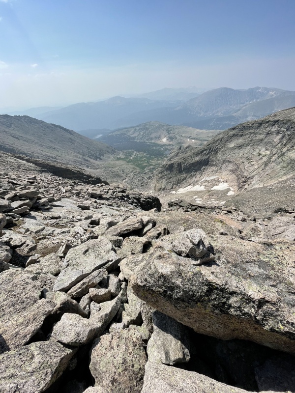
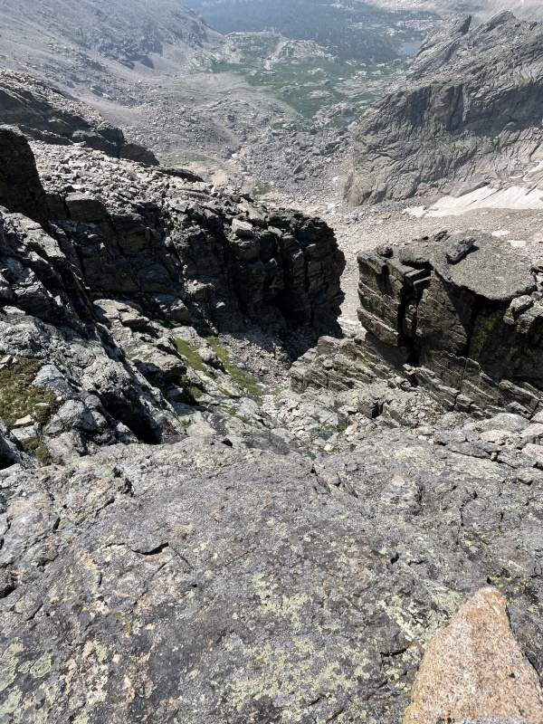
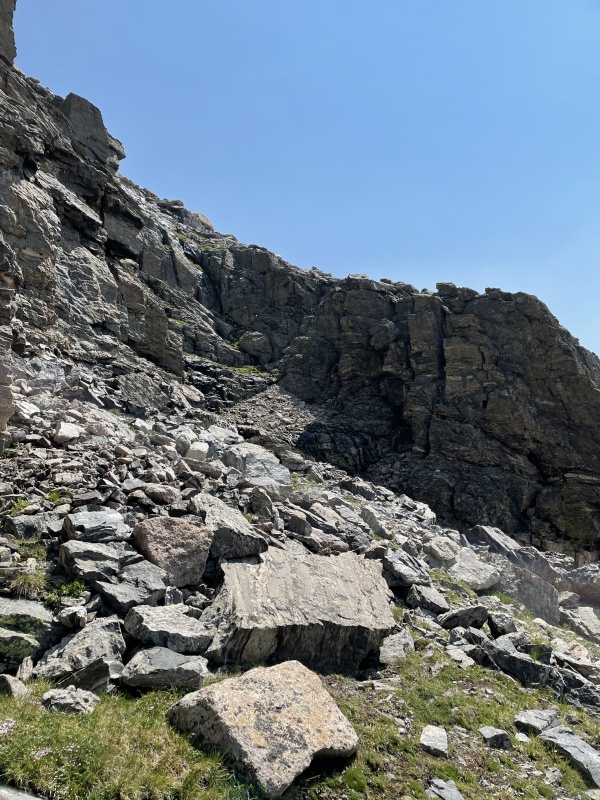
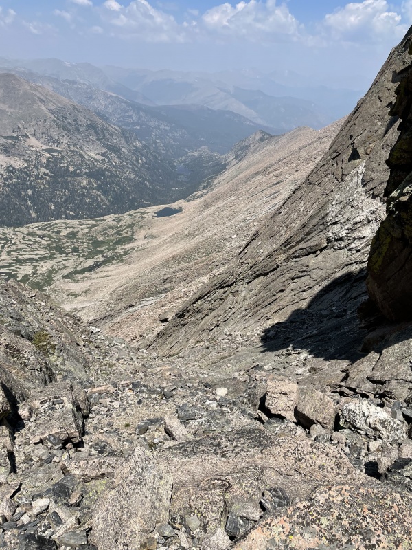
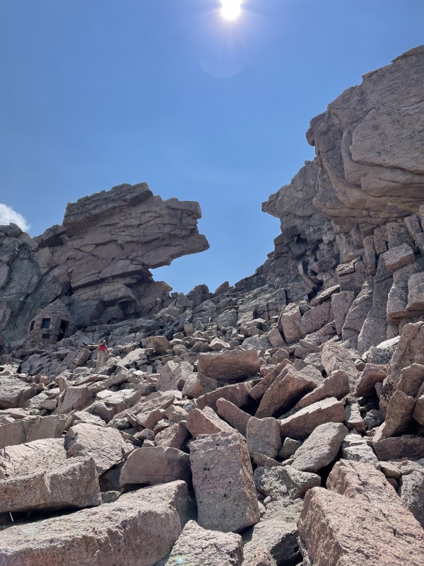
I was nervous about finding the notch to descend below the cliff band to Pagoda, but it was the easiest route finding of the day. I found it before I was really even looking. I traversed all the way to the topmost Keyboard, and then I began heading straight down and to the left before spotting it. Here's the view from the top of the gully looking back. There were a few cairns in the area too to confirm my suspicion. When looking down upon the notch, choose the right gully (not the left) to begin your descent. Here's a video with a closer look. 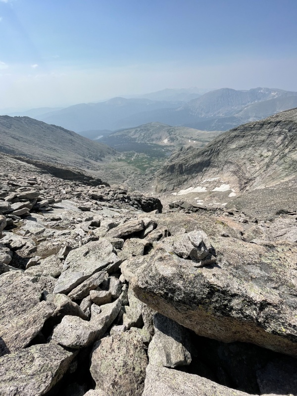
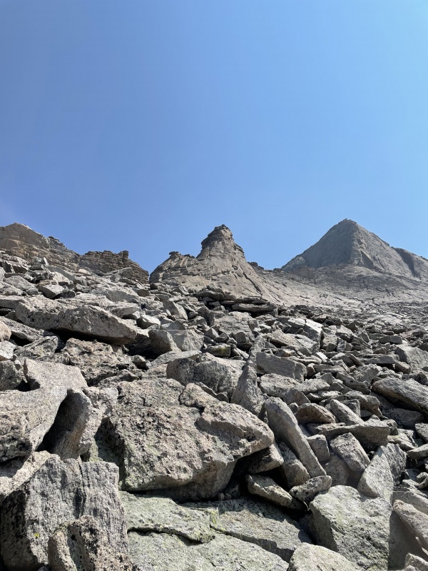
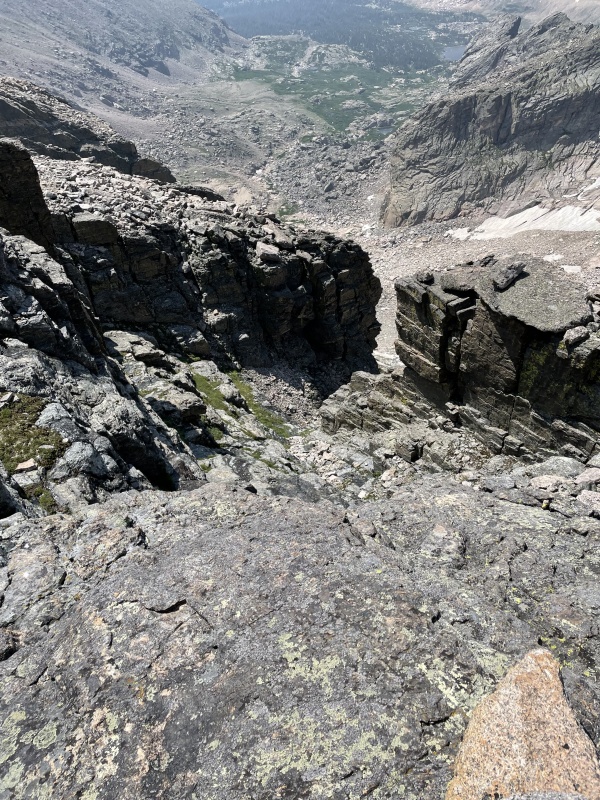
Once you’re on the upmost cliff there, you’ll have a few options. The leftmost side looked the most promising, but there was a lot of runoff making the most convincing rock wet and slippery, so I decide for the harder route straight down the middle that was dry. 1-2 easy Class 4 downclimbs (exposure more than difficult scared me), but it went by quick and I was soon heading out the exit to the right of the notch and making another sharp right to continue on to the bottom keyboards. Here's a short video taken from the bottom of the notch. 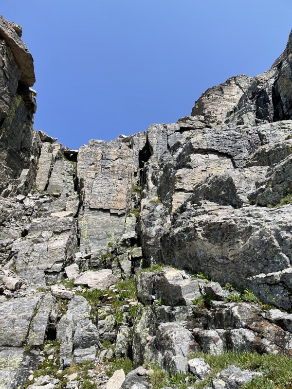
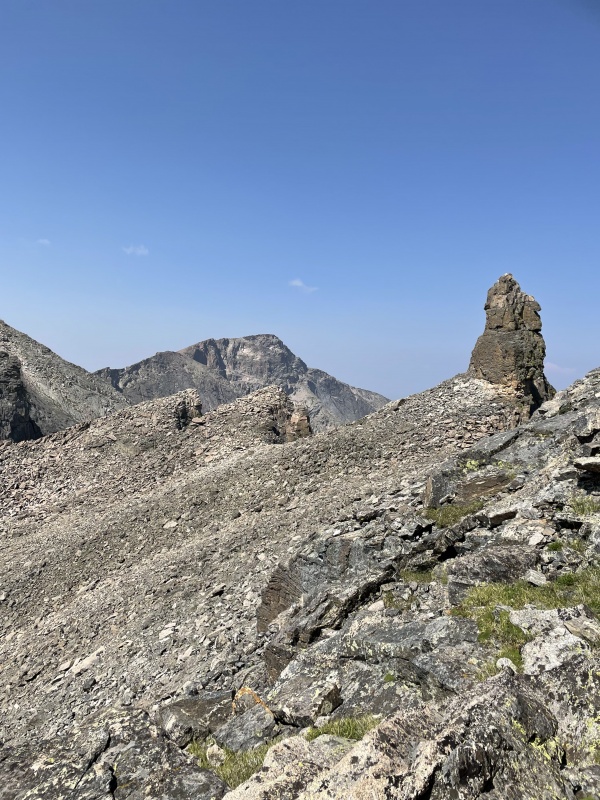
Here at the descent keyboard, I dropped my pack, took my satellite phone, and began the trek up Pagoda. Lots of report say this is a breeze and goes quickly. Yes, it’s relatively easy after all you’ve done, but it was not quick haha. At least not for me. I made it on up, ate a snack, and began the wobbly descent. 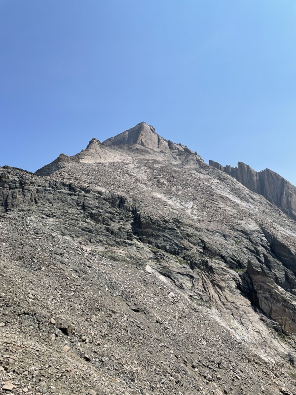
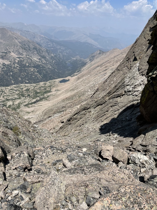
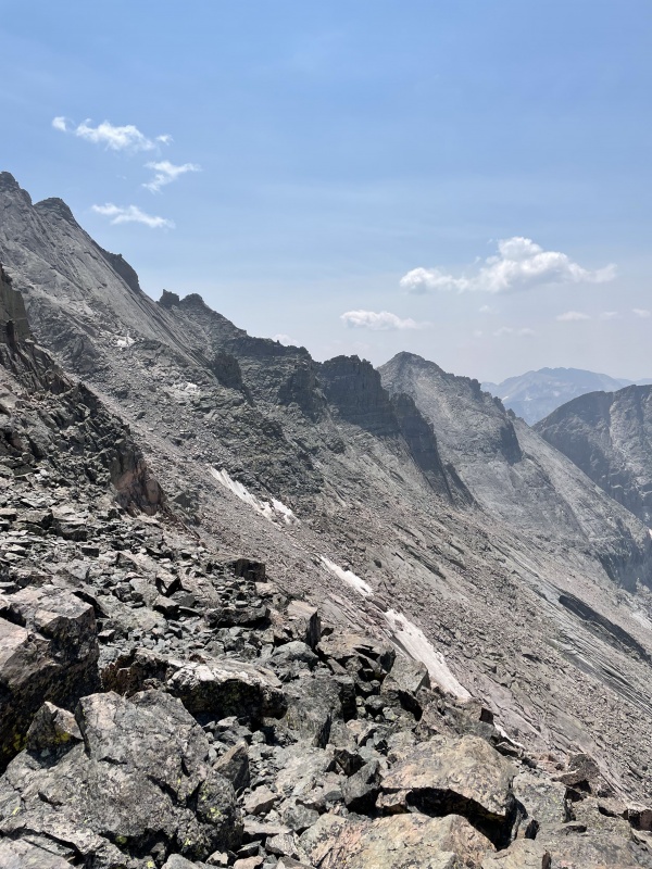
After regaining my pack, I descended the notch (very obvious looking at pictures), meandering my way from the left to the right and back to the left again to descend below the large slabs. Traversed the rest of the way pretty straightforward to the base of the Trough. Continued past it for a little bit to find a social(ish) trail to rejoin the Ledges portion of the Keyhole Route. Embarrassingly enough, I got over-anxious and ascended too quickly and got off route on the very well-marked Keyhole route. I’ll excuse myself and say I was tired, but I was super bummed with myself. All in all, I’d probably lost 2-3 hours on the day now with poor route-finding decisions. 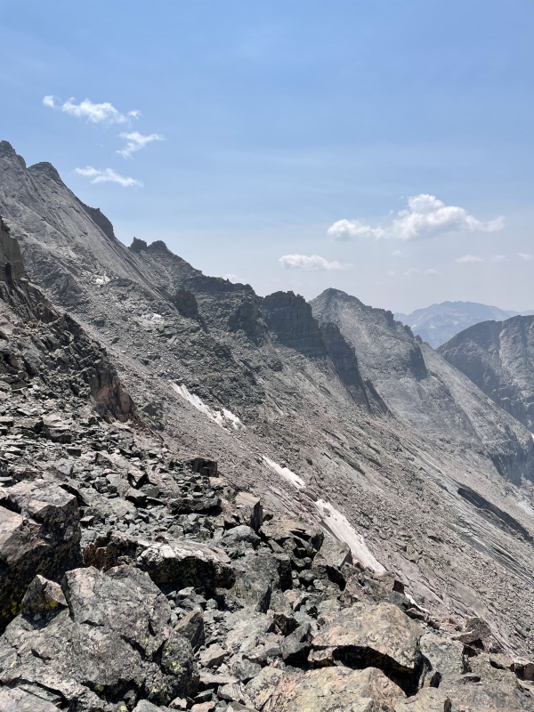
After passing through the Keyhole, I started my way to Storm Peak. Instead of sticking close to the ridge, I suffered myself to lose a bit of elevation gain to skirt around what I knew to be a false summit. Then, I started my approach up to Storm Peak, hugged the ridge, and made it to the true summit. Not too bad. 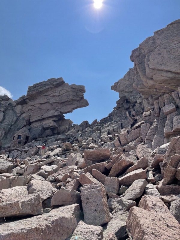
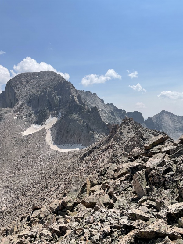
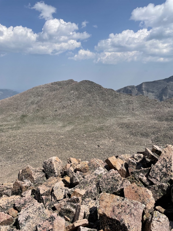
I made my way down to the bathroom in the boulder field and found a stream there (lots of streams) to refill my water bottles for filtered water. Then, I descend the northwestern side of Mount Lady Washington, finding a friendly couple on the peak who came from Chasm Lake. I got the summit, then made my way down a very (very) easy northern side of MLW to rejoin the Keyhole route trail until Granite Pass. 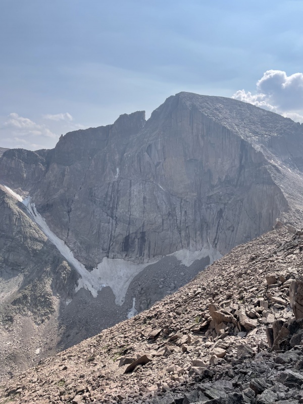
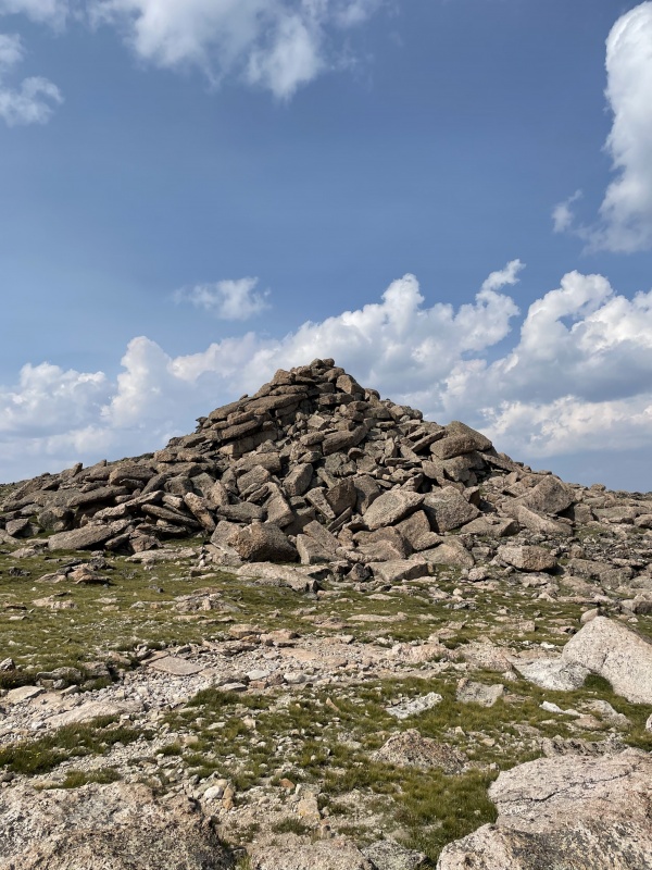
I rested in the shade a bit before meandering around the west side of Granite Pass’s big pile of boulders and making my way towards Battle Mountain. I was speeding up now with the end in site, and I bagged Battle Mountain in no time. On to Pine Ridge. Again, you get to that one in no time. Next, into the unknown. 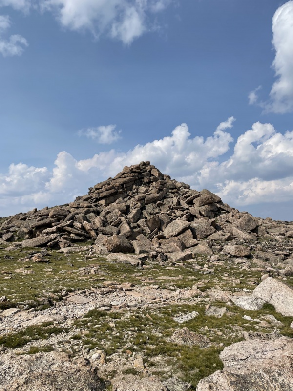
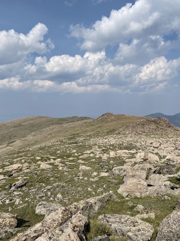
I could see Estes Cone, but there’s no clear path through the insane bushwhack to join the trail to its summit. I stumbled on down, avoiding the bushes and willows as best as I could. Into the woods, I made my way through deadfall and elk poop to finally (it felt like forever) rejoin the trail and begin my way up Estes Cone. With a real trail beneath my feet, I was flying (meaning, I wasn’t going .5mph anymore). Gained the summited quickly, and then I started the long slog back to the trailhead. It felt like forever. I had run out of food hours ago, and I was dead. I made it back to the truck, but couldn’t quite muster the strength to do all 100 of Gerry’s demanding pushups. I did 10. Sorry, Gerry. What an epic day. In the end, it took me close to 10,000 ft of elevation gain, 17 miles, and 17 hours. Woof. All-in-all, amazing journey that I’ll never forget. A little too much sketchy climbing for my liking, but almost all of it was do to my own mistakes. In retrospect, everything was straightforward (except for the Loft route to Longs, still don’t understand that). Gosh, I love mountains. Thumbnails for uploaded photos (click to open slideshow): 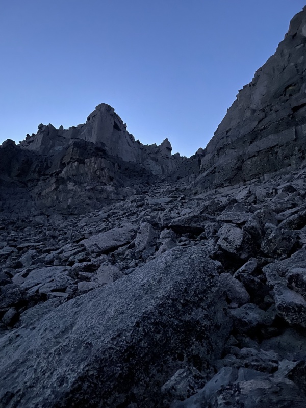
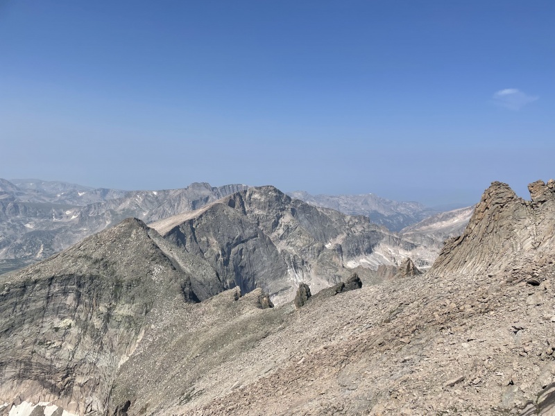
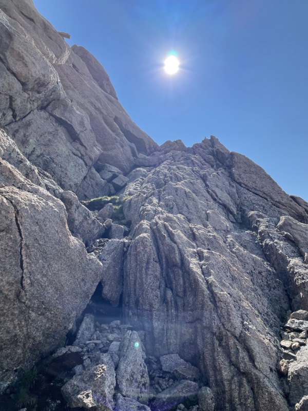
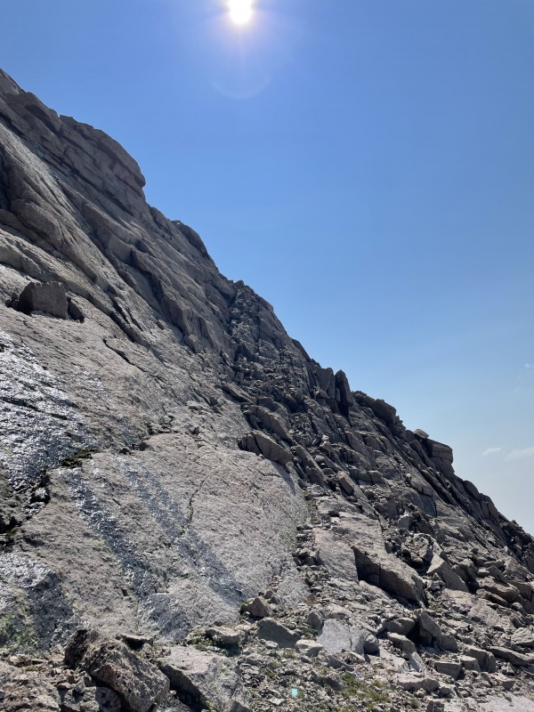
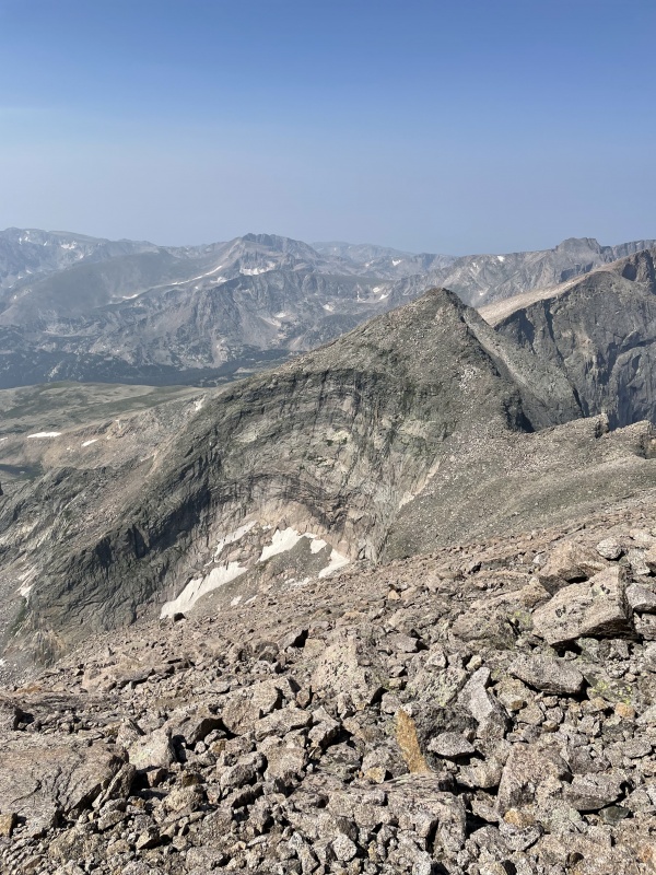
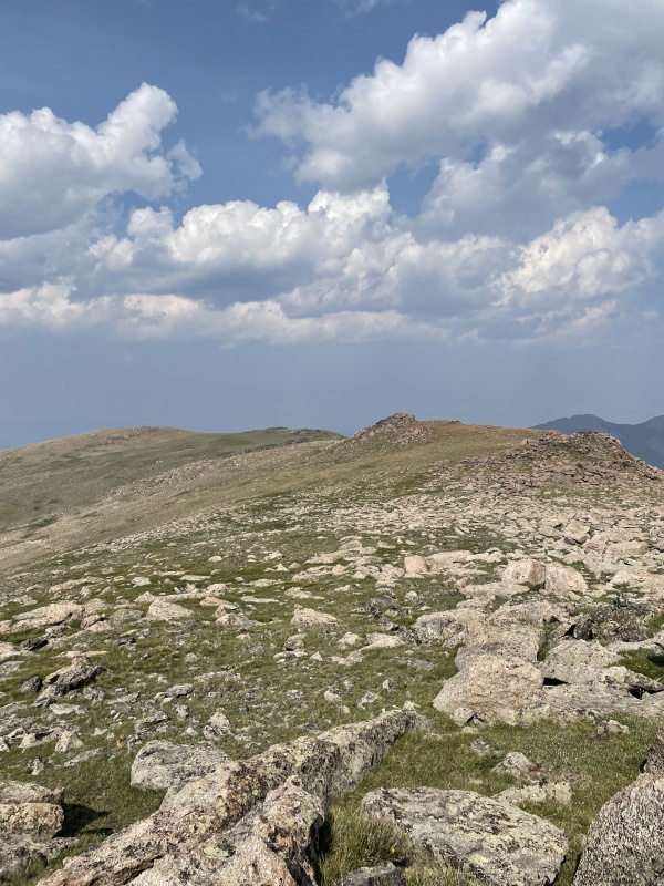
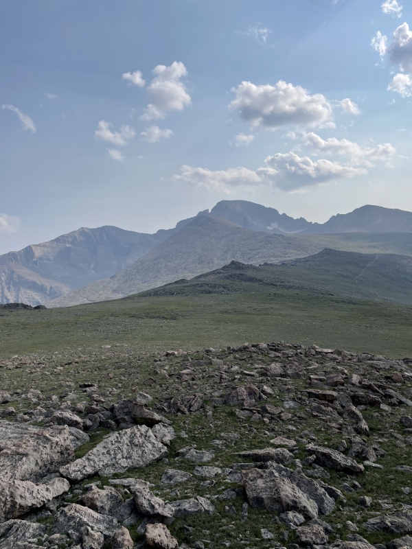
|
| Comments or Questions | ||||||||||||
|---|---|---|---|---|---|---|---|---|---|---|---|---|
|
Caution: The information contained in this report may not be accurate and should not be the only resource used in preparation for your climb. Failure to have the necessary experience, physical conditioning, supplies or equipment can result in injury or death. 14ers.com and the author(s) of this report provide no warranties, either express or implied, that the information provided is accurate or reliable. By using the information provided, you agree to indemnify and hold harmless 14ers.com and the report author(s) with respect to any claims and demands against them, including any attorney fees and expenses. Please read the 14ers.com Safety and Disclaimer pages for more information.
Please respect private property: 14ers.com supports the rights of private landowners to determine how and by whom their land will be used. In Colorado, it is your responsibility to determine if land is private and to obtain the appropriate permission before entering the property.