Download Agreement, Release, and Acknowledgement of Risk:
You (the person requesting this file download) fully understand mountain climbing ("Activity") involves risks and dangers of serious bodily injury, including permanent disability, paralysis, and death ("Risks") and you fully accept and assume all such risks and all responsibility for losses, costs, and damages you incur as a result of your participation in this Activity.
You acknowledge that information in the file you have chosen to download may not be accurate and may contain errors. You agree to assume all risks when using this information and agree to release and discharge 14ers.com, 14ers Inc. and the author(s) of such information (collectively, the "Released Parties").
You hereby discharge the Released Parties from all damages, actions, claims and liabilities of any nature, specifically including, but not limited to, damages, actions, claims and liabilities arising from or related to the negligence of the Released Parties. You further agree to indemnify, hold harmless and defend 14ers.com, 14ers Inc. and each of the other Released Parties from and against any loss, damage, liability and expense, including costs and attorney fees, incurred by 14ers.com, 14ers Inc. or any of the other Released Parties as a result of you using information provided on the 14ers.com or 14ers Inc. websites.
You have read this agreement, fully understand its terms and intend it to be a complete and unconditional release of all liability to the greatest extent allowed by law and agree that if any portion of this agreement is held to be invalid the balance, notwithstanding, shall continue in full force and effect.
By clicking "OK" you agree to these terms. If you DO NOT agree, click "Cancel"...
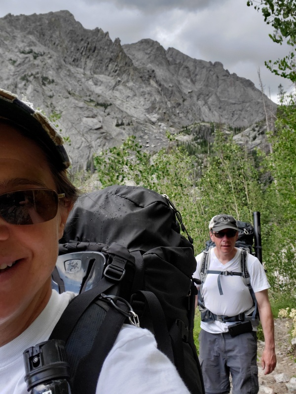
We hoped to get a room in Crestone Wednesday night to get an early start on Thursday but the closest we could come was Salida. Still, an hour away wasn't bad and we got started at 7am.
I remembered that the route description mentioned that there were "many many switchbacks". I counted 12 and thought that wasn't too bad until I realized we hadn't even gotten to the area where there were "many many switchbacks". It was over 3 times that in that section. Fun!
Plenty of Switchbacks
I guess ultimately switchbacks are our friend when carrying a backpack.
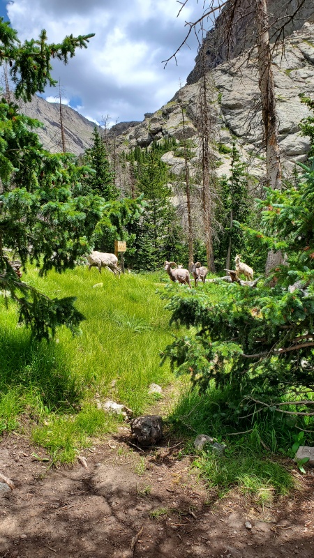
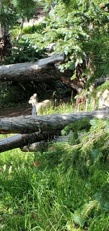
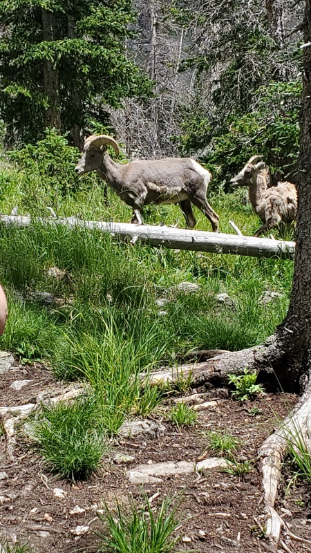
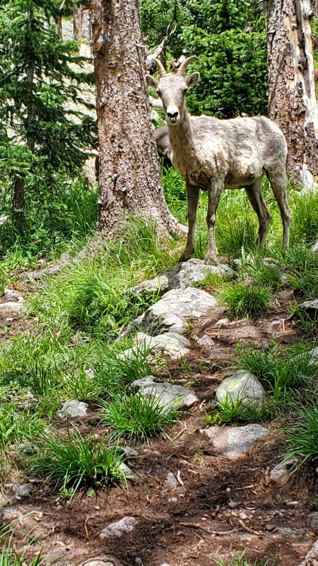
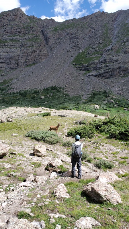
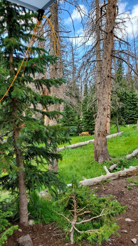
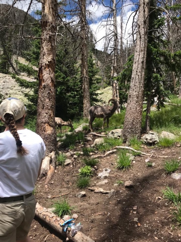
It was nice and cool and no other hikers at the time. When we got up to Willow lake about 3 hours later, there were a few sites taken but still a few to choose from. The bighorn sheep were quick to greet us in hopes of fresh urine. Several lambs around. Very cute. A lot of deer as well.
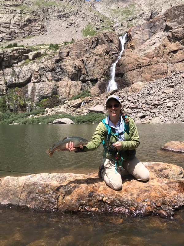
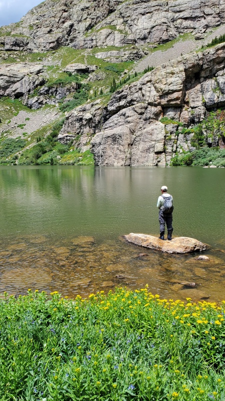
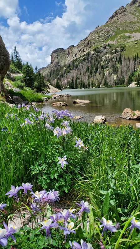
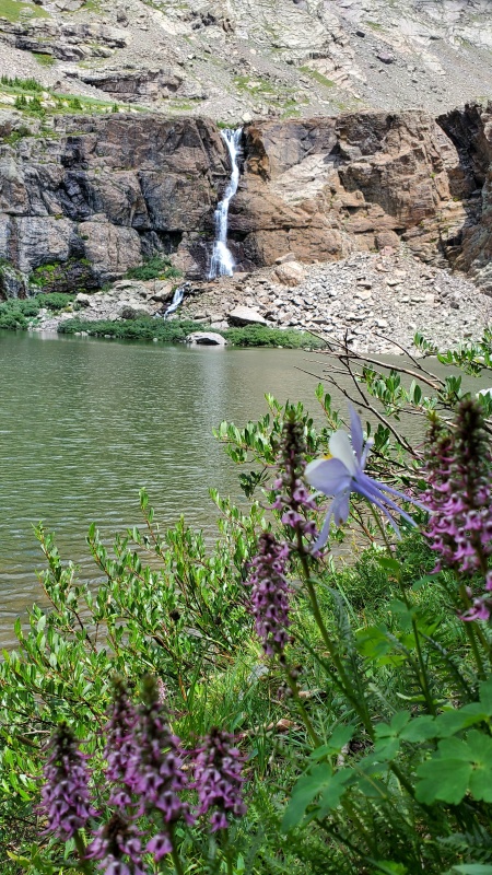
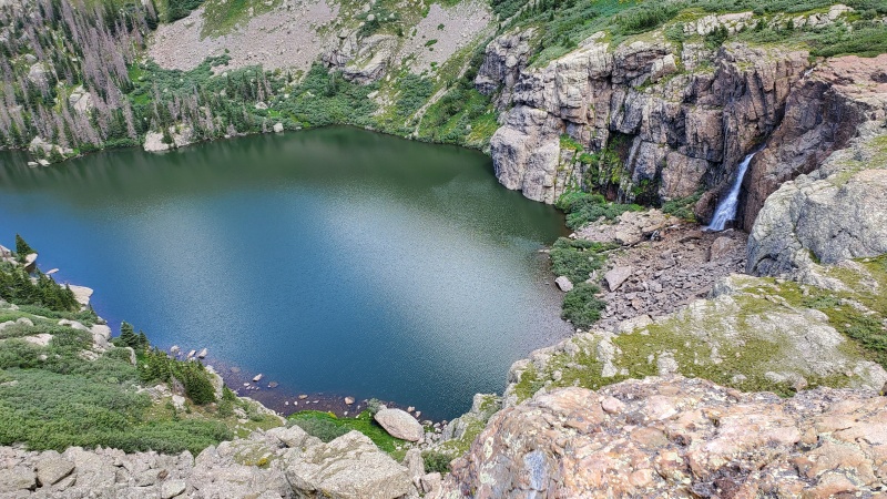
We spent the rest of the day checking out the stream and lake. Gorgeous lake, flowers and waterfall magical. Bigger than I expected. Not sure where all the fish were in the lake this time. Really deep maybe. Nothing was cruising around the edges like we usually see. We did manage to catch a couple. Quite the pigs.
Sow
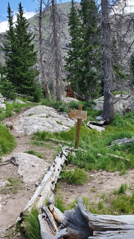
Decided to sleep in a little this time, 330...so we got on the trail at 430. Didn't seem like too many were out and about yet. When we were nearing the top of the waterfall there was someone coming up the steep gully from the lake and a group of 3 starting up the harder stuff. The gentleman from the lake told us he did get off trail and had to find his way up to the real trail. I think the old route did use to go by the lake but they have since re-routed it. Anything near the lake is full of animal trails and side trails as well as a lot of willows so you shouldn't be anywhere near the lake when starting. I took a couple pictures of this trail turnoff when we came back down to add to the report and hopefully help someone.
Sign is soon after the campsite area and you want to go left and up the hill on trailYou should be well above the lake on the talus at the start
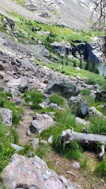
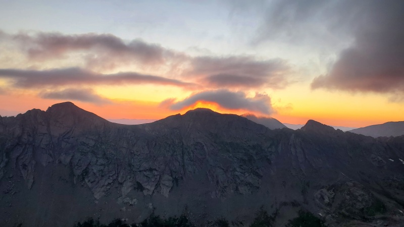
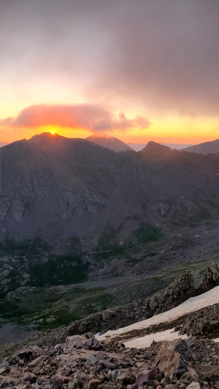
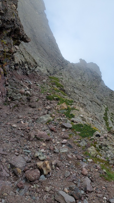
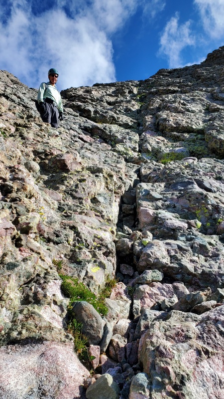
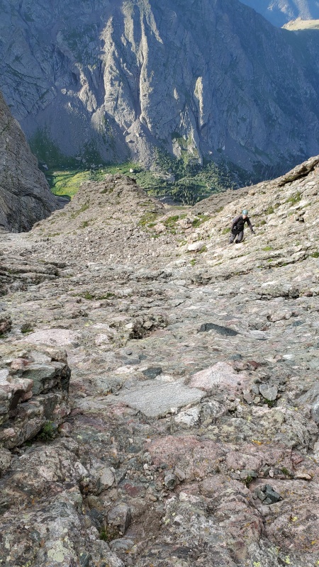
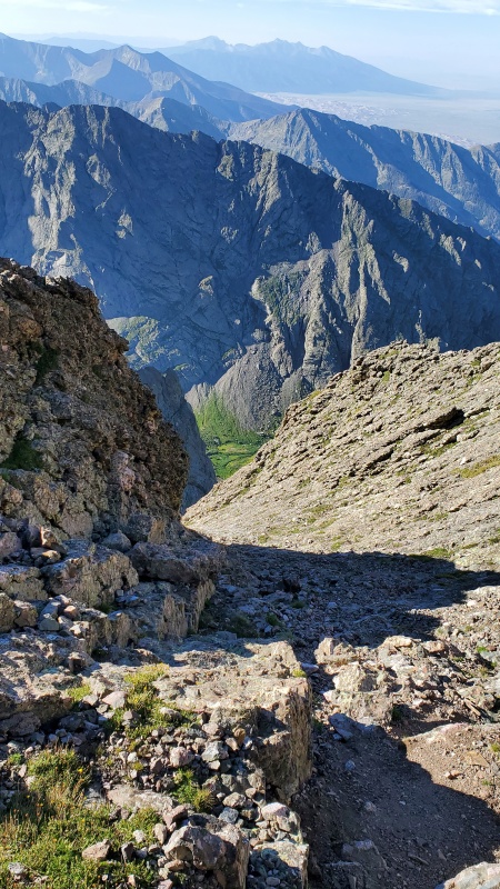
Cross the stream above the waterfall and that is your last chance for water. The old route used to go a little towards the left but there is a very well built trail most the way up to just about below the level of the snow gully. As you work your way over toward it, it gets much gnarlier. There is a lot of loose terrain in this area. As we were coming down, we might have been a little too close to the gully and people coming up to way too far from the gully. Just take your time and pick your route. There really aren't many cairns in this last 500 to 800 foot area. It is steep and loose and we felt microspikes helped a lot. Gorgeous sunrise.
I will add the ascent and descent pictures together to show the terrain up to and near the snow gully.
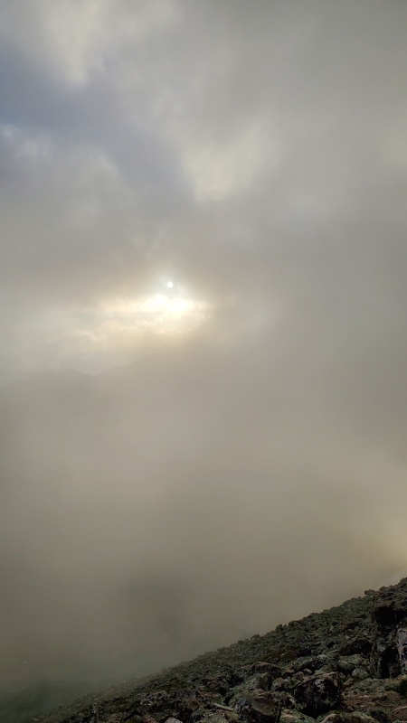
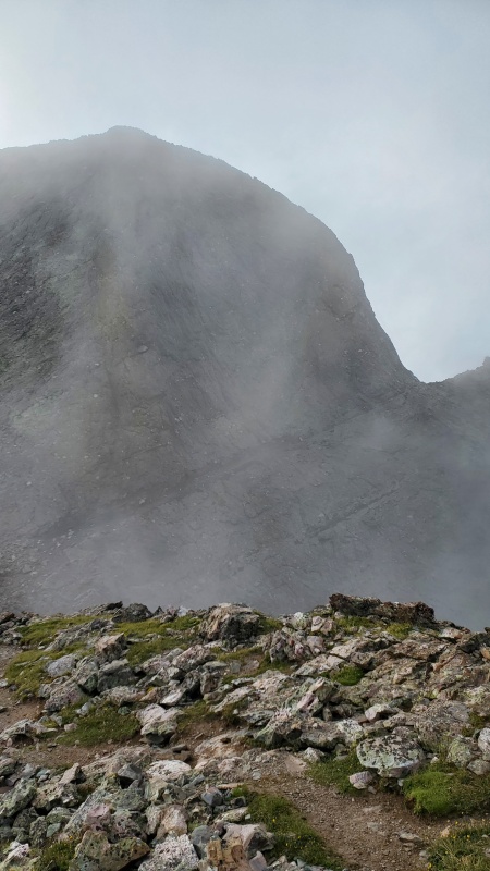
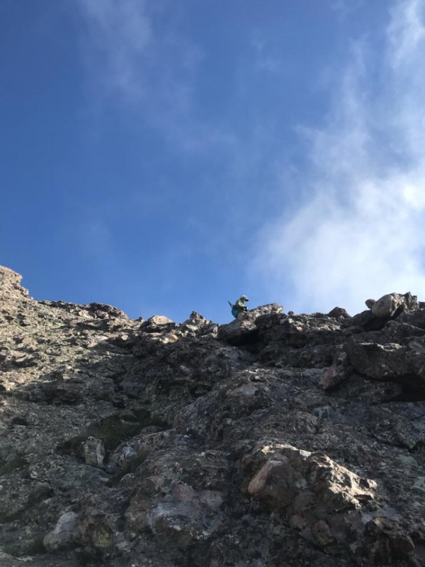
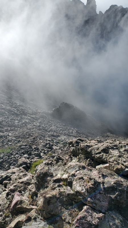
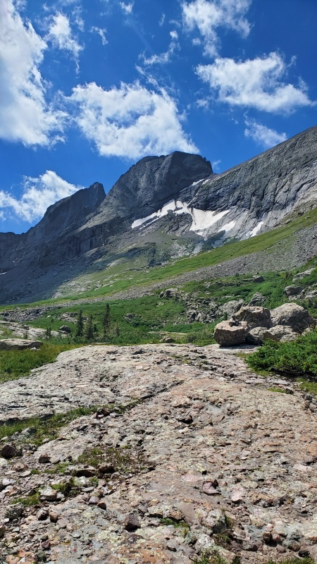
Two hours to this point and it is pretty easy and fun from here. The Sangre Fog joined us again. I think we have hiked with the fog just about every time we have come to the Sangre 14ers.
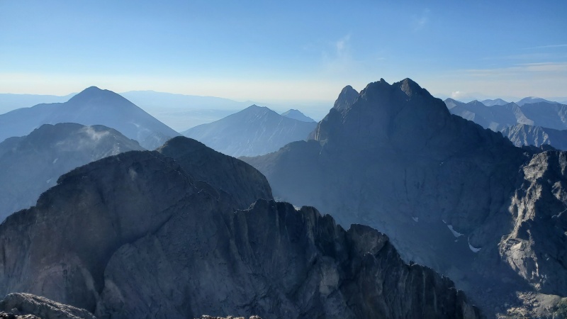
Couldn't see much of Kit Carson on the way upOnly about 20 minutes from the crux to here
We couldn't see much of Kit Carson but we could see the Avenue.
Easy enough
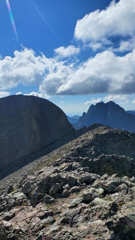
Photo 23 in the route description shows an alternate route to exit the avenue. We saw that and really liked the looks of it. Who doesn't like to climb on the Sangre conglomerate rock. It is so stable and fun to climb on. Crestone Needle is probably my favorite to climb and this area reminded me of that. When we got to the top we looked over to the other route and it sure looks like there is more loose stuff there then on our side. We would definitely recommend this alternate without a doubt.
You can hike up or down either side of thisThere is a rock outcropping up a ways that you can see in both photos
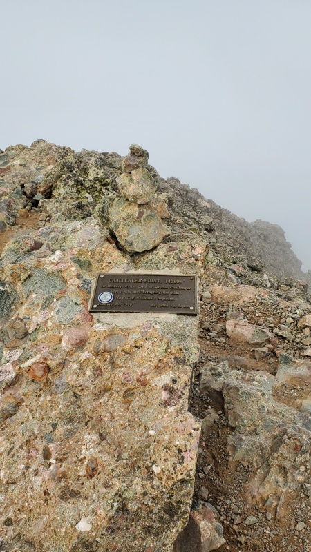
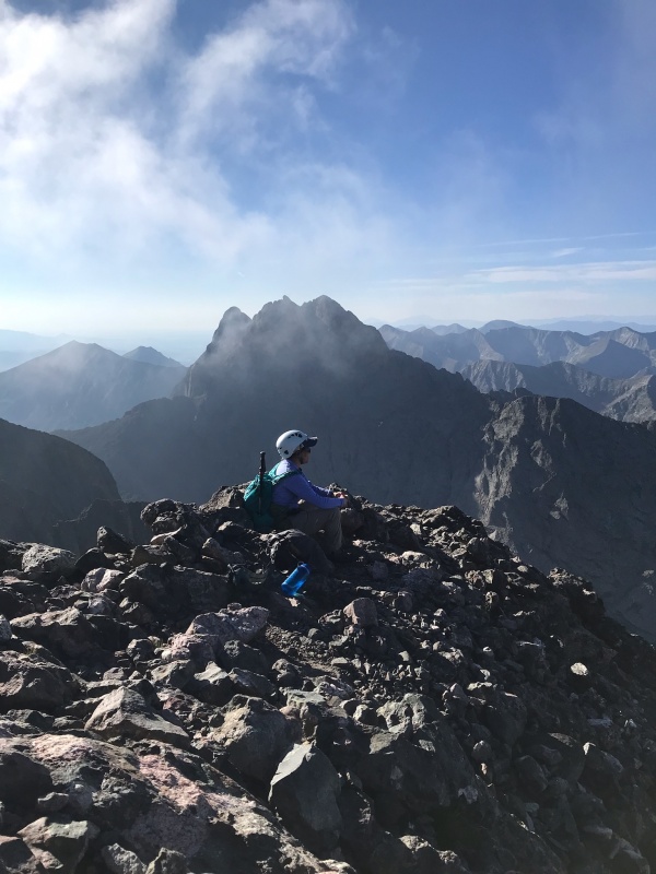
Not long after you are there. Very fun. Took us about an hour to summit Kit Carson from Challenger.
Finally got that photo of Kit when we were back on Challenger
Fun trip back until the start of that gully again. Pretty crappy section and takes longer then you want to finally get back to the trail junction.
Not sure why he would want to be up hereNice break at the stream
Back to the campsite around 1230 so about 7 hours for the hike. We broke down camp after lunch and watching the wildlife for a little longer.
Hiked out just before the rain was due to come in. Pretty good cell service on those switchbacks so looked up the weather and apparently flash flood warnings for that night and the next day were forecasted. Hope the numerous backpackers heading up didn't have too much trouble with that.
Those Tshirts I used on my sleep pad sure were nice to wear on the way back down to help us stay nice and cool.
Back to the car for some wine at 345. Perfect timing to get some great dinner in Salida. Surprising how many nice restaurants there actually are there. The rain poured on us as we drove there. We were truly blessed with great weather for our trip.
Thumbnails for uploaded photos (click to open slideshow):
It was substantial still although I am not sure what it usually looks like
Caution: The information contained in this report may not be accurate and should not be the only resource used in preparation for your climb. Failure to have the necessary experience, physical conditioning, supplies or equipment can result in injury or death. 14ers.com and the author(s) of this report provide no warranties, either express or implied, that the information provided is accurate or reliable. By using the information provided, you agree to indemnify and hold harmless 14ers.com and the report author(s) with respect to any claims and demands against them, including any attorney fees and expenses. Please read the 14ers.com Safety and Disclaimer pages for more information.
Please respect private property: 14ers.com supports the rights of private landowners to determine how and by whom their land will be used. In Colorado, it is your responsibility to determine if land is private and to obtain the appropriate permission before entering the property.


")
")
")
")
")
")
")
")
")
")
")
")
")
")
")
")
")
")
")
")
")
")
")
")
")
")
")
")
")
")
")
")
")
")
")
")
")


