| Report Type | Full |
| Peak(s) |
Mt. Wilson - 14,256 feet |
| Date Posted | 08/05/2021 |
| Date Climbed | 07/24/2021 |
| Author | arianna2 |
| Just Mt Wilson |
|---|
|
We climbed Wilson Peak via Silver Pick approach in 2012 and El Diente via Kilpacker approach in 2014 and just haven't been down to the San Juans since around 2016. We were excited to go back and get a nice back packing trip to Navajo lake and climb our last San Juan 14er. We had to drive from Grand Junction so we didn't get started until about 1030am on a Friday. The road to the trailhead takes a bit but is relatively smooth. 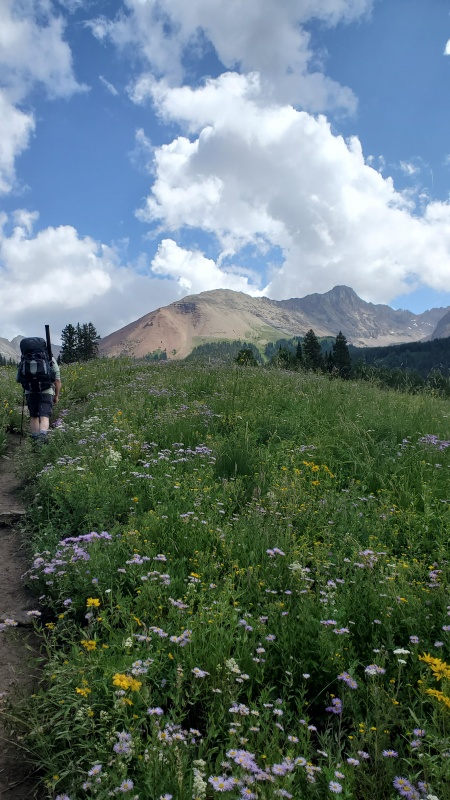
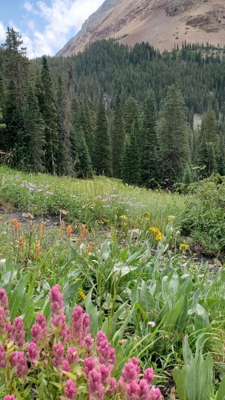
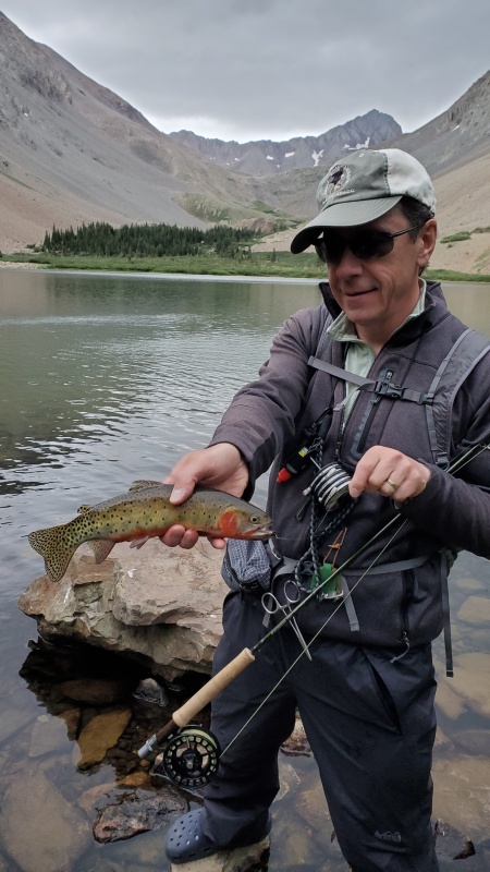
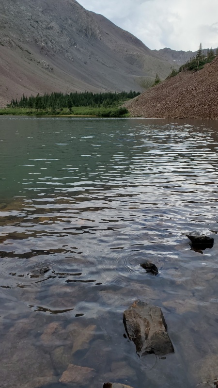
Luckily, we had back packed up the Frying Pan Lakes area the weekend before and climbed North Massive from there so the 31 pound packs didn't feel horrible. It still took us around 2.5 hours to get to the lake. It took a little bit of time to find a good camping spot. Usually I am pretty tolerant of the sleeping surface but after sliding down on the sleep pad due to the slight hill we were on last weekend, even I wanted a flatter surface to set up the tent this time. As a small digression, we did just buy a couple Nemo sleeping pads recently to update the old Prolite Thermarest pads we had. Have to say, I am not a fan. It is nice how small you can pack it and is light but it is too waterbedish for me. Since I am smaller, the air displaces and pushes up on some other part of the body. For the issue of sliding, I decided to bring a couple of Craig's thin under-shirts and I put one on either end of the sleeping pad and I didn't slip around at all. So that problem was fixed. But it didn't help the waterbed wave/bulges. So I went back to the Thermarest for the third trip we did-Challenger/Kit Carson later in the week. So much better and worth the couple extra ounces! The spots around the lake were taken so we decided to walk around the lake and check out the other side. The best spot was taken up with debris that the trail workers were clearing. I think they had a big camp in the other section of trees and we saw one tent kind of up above the trees on the side too. We decided to go back and actually found a great site on the trail side of the creek just before the lake. That was nice because I didn't want to be crossing that creek in the early morning. The weather held to give us a few hours to fish and The lake was beautiful. The fishing was great. Nice Cutthroats. 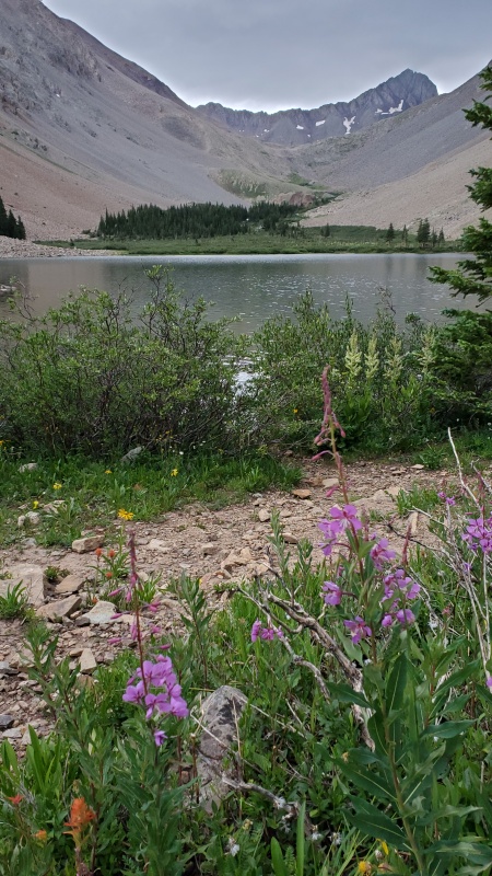

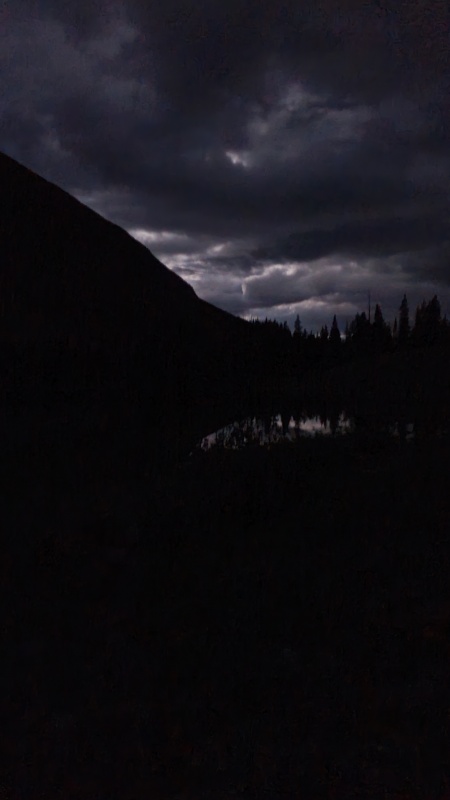
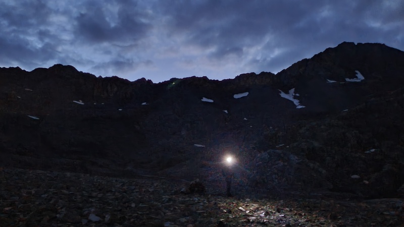
The rain and thunder did come in eventually. It was nice to have a tarp up for dinner back at the camp site. We were certainly hoping it would all pass through during the night. However, every time I woke up, I would hear rain drops on the tent. The alarm went off at 3am and it was still raining. It was light rain though and seemed to be getting lighter. The cloud cover that was clearing made it seem pretty dark. 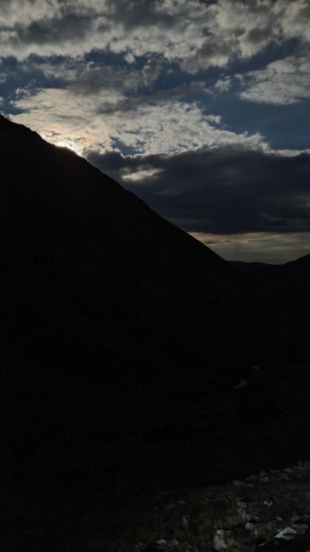
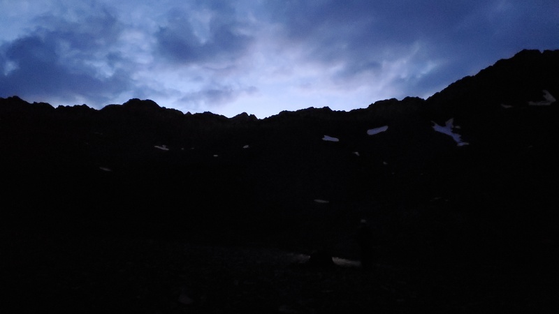
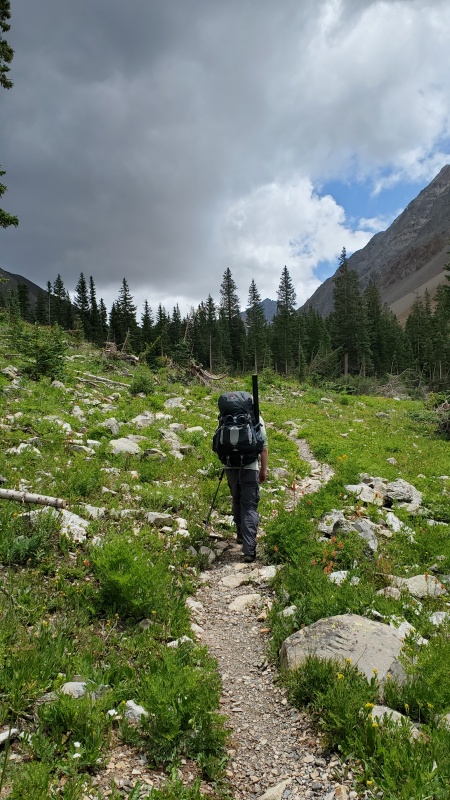
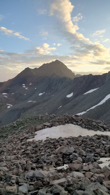
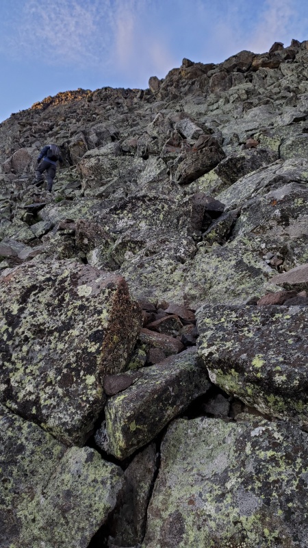
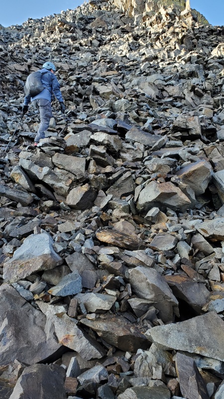
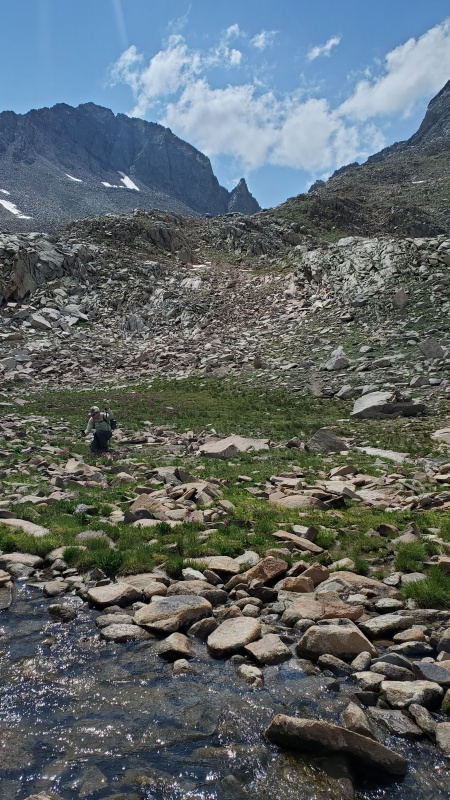
I think it took about 1.5 hours to get over all that scree to the end of the basin and start climbing the shoulder. We didn't see some of the cairns on where to cross the stream and go up the shoulder. On the way down we saw that there is more of a trail a little lower down on the shoulder than what we did. This part is still pretty easy to navigate and get up, even the lichen covered buttress. 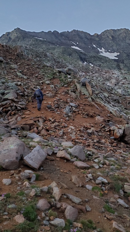
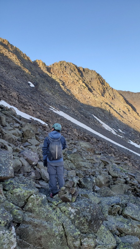
Beautiful sunrise eventually... 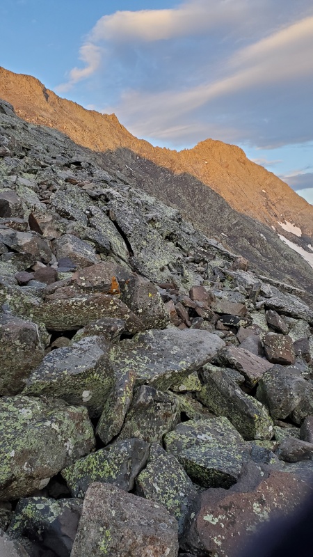
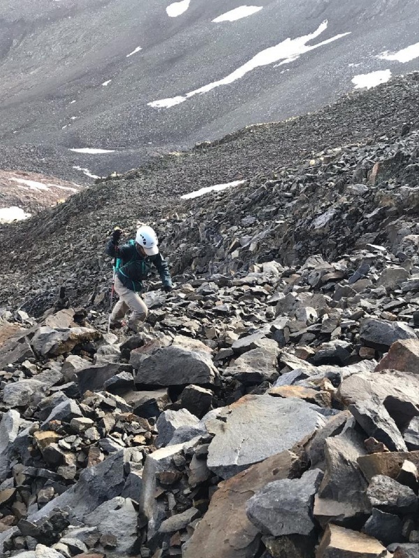
We have to say it was difficult to figure out exactly when to start the traverse and even keeping on the right trajectory to the goal. I think the majority of people are going down this mountain since they do El Diente and the traverse. It is harder to go up then it is to go down. There are many cairns at different levels of this traverse. We decided it seemed more like going up rather than traverse but obviously you do cross over. I think we ended up a little higher than the route description tracks. Worked fine, just have to pick your way across. 
We ended up getting into this gully and went up it just a little ways and continued on the other side and up to the notch. On the way back down we decided to follow cairns that were high up on this gully since it was pretty loose but then you end up pretty high on the talus and get into a little more difficult moves. 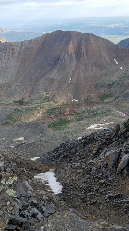

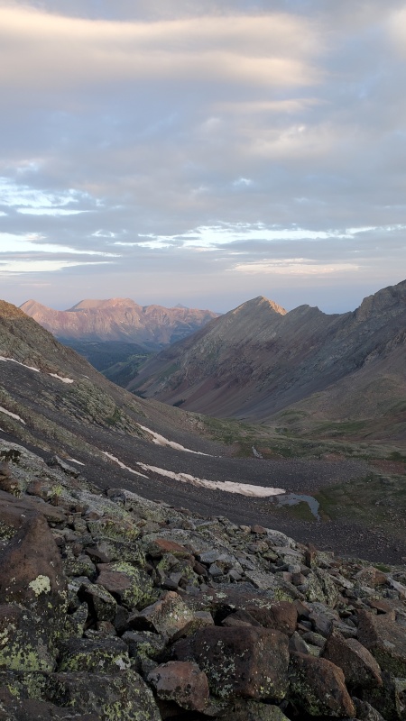
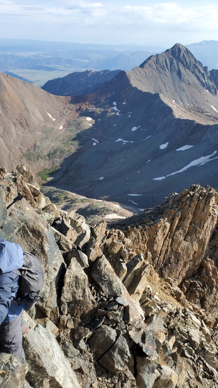
Finally, we got across this massive hill of talus. Got to see this awesome view of lizard head around 8am. 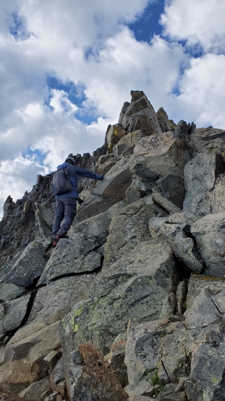
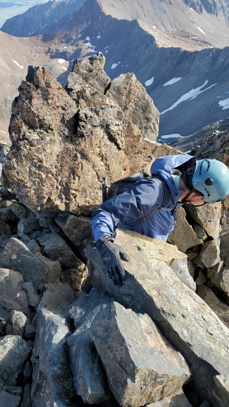
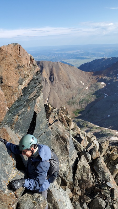
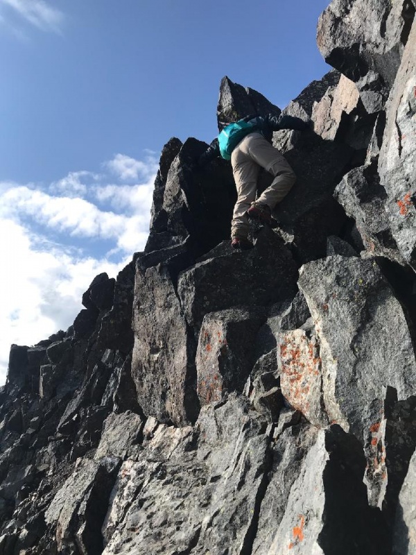
The last little bit is pretty interesting. The first section we actually thought was the crux for some reason but those blocks were just after that. Pretty similar though. At the crux, I am still not sure if the harder way is up over the rock blocks or directly to the right. That is just a sheer vertical wall that way. Looked like small but good hand and toe holds around but a very long fall. So of course we went to the left which involved moving across a wall with a little more room for your feet and hand holds on the rocks. One rock is more rounded so you have to hug it some. I actually thought that the exposure was more dramatic and worrisome on these moves than any of the other 14ers we have done. I don't seem to be bothered as much by ledges that have at least some slope as I am by a straight down fall potential. It is nerve racking watching someone you love go across something like that, especially just after reading the Humpty Dumpty on Pyramid report. 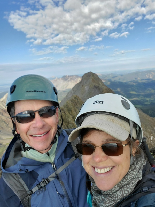
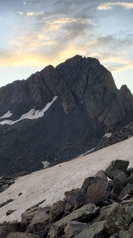
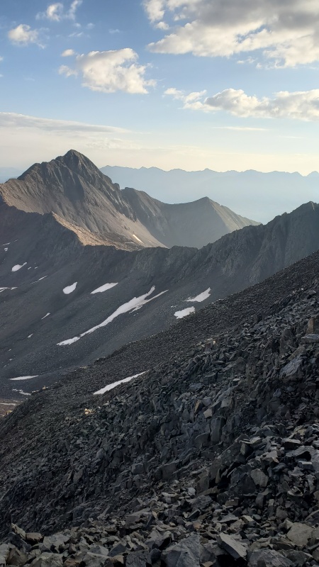
There was a recent report of going up that green buttress to the top and coming toward the summit along the ridge instead of going across the talus. We were really interested in that option but since we didn't know enough about it or enough reports about it, we didn't do it. Here is a picture of that ridge though 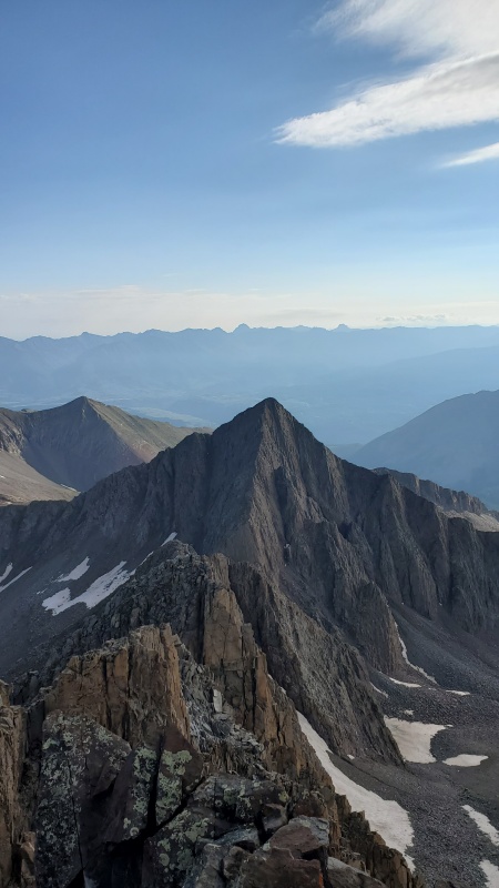
Headed back across the talus and like I said above we decided to try the cairned way higher up in the gulley. I think that path was a little harder. We just had to keep heading down to try to intersect our previous path on the way up. Nothing was real difficult, just tedious. A lot of concentration for a long period of time to not knock down a rock or slip off a rock and break an ankle. Speaking of a rock knocking down. We heard a rock let loose on the other side of Gladstone, then a few rocks, then more rocks, then a loud avalanche of rocks that lasted quite awhile. We worried some because we had seen someone on the summit of Gladstone when we were on the summit of Mt Wilson. There were at least three people on the summit of Wilson Peak when this avalanche happened. We would be curious to know what happened or how it looked. It sounded awful. As we were coming down there were a few occasions of rocks spontaneously falling down the gullies. There were no people on our route. We actually only briefly saw two people on the summit when we were heading up the final stretch and then they disappeared. So it was nice to not worry about rockfall from people at least. 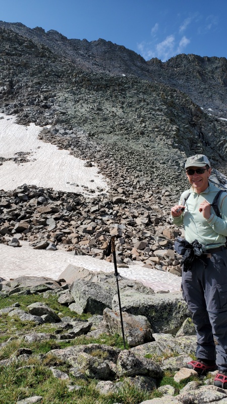
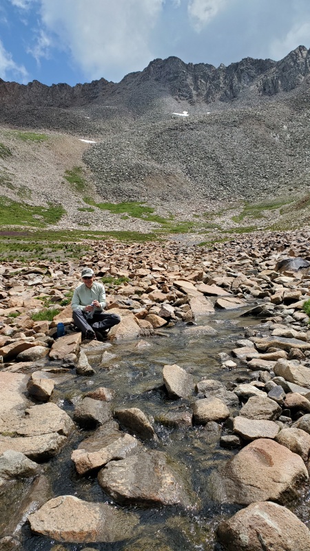
Here are a couple pictures of the start up the shoulder after the stream. There are some sections of great trail there but is not totally necessary to go that way. Easy to miss in the dark. 
Gorgeous weather for us. It started building around 2ish but we were heading back down after breaking camp. We got back to camp around 1215 and back to the trailhead at 3. 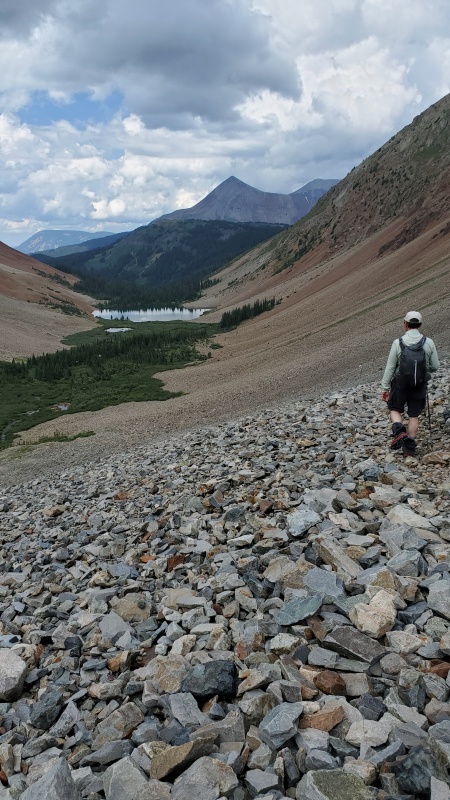

Great finish in the San Juans. Thumbnails for uploaded photos (click to open slideshow): ")
")
")
")
")
")
")
")
")
")
")
")
")
")
")
")
")
")
")
")
")
")
")
")
")
")
")
")
")
")
")
")
")
")
")
")
")
|
| Comments or Questions | |||
|---|---|---|---|
|
Caution: The information contained in this report may not be accurate and should not be the only resource used in preparation for your climb. Failure to have the necessary experience, physical conditioning, supplies or equipment can result in injury or death. 14ers.com and the author(s) of this report provide no warranties, either express or implied, that the information provided is accurate or reliable. By using the information provided, you agree to indemnify and hold harmless 14ers.com and the report author(s) with respect to any claims and demands against them, including any attorney fees and expenses. Please read the 14ers.com Safety and Disclaimer pages for more information.
Please respect private property: 14ers.com supports the rights of private landowners to determine how and by whom their land will be used. In Colorado, it is your responsibility to determine if land is private and to obtain the appropriate permission before entering the property.


