Download Agreement, Release, and Acknowledgement of Risk:
You (the person requesting this file download) fully understand mountain climbing ("Activity") involves risks and dangers of serious bodily injury, including permanent disability, paralysis, and death ("Risks") and you fully accept and assume all such risks and all responsibility for losses, costs, and damages you incur as a result of your participation in this Activity.
You acknowledge that information in the file you have chosen to download may not be accurate and may contain errors. You agree to assume all risks when using this information and agree to release and discharge 14ers.com, 14ers Inc. and the author(s) of such information (collectively, the "Released Parties").
You hereby discharge the Released Parties from all damages, actions, claims and liabilities of any nature, specifically including, but not limited to, damages, actions, claims and liabilities arising from or related to the negligence of the Released Parties. You further agree to indemnify, hold harmless and defend 14ers.com, 14ers Inc. and each of the other Released Parties from and against any loss, damage, liability and expense, including costs and attorney fees, incurred by 14ers.com, 14ers Inc. or any of the other Released Parties as a result of you using information provided on the 14ers.com or 14ers Inc. websites.
You have read this agreement, fully understand its terms and intend it to be a complete and unconditional release of all liability to the greatest extent allowed by law and agree that if any portion of this agreement is held to be invalid the balance, notwithstanding, shall continue in full force and effect.
By clicking "OK" you agree to these terms. If you DO NOT agree, click "Cancel"...
Randy and I were looking for a multi-peak tour and were aware of five ranked 13ers in the Sawatch that could be combined in a loop from the South Winfield Trailhead (the same trailhead used for Huron Peak's standard route and for the Three Apostles). We also knew that crossing South Fork - Clear Creek and Clear Creek had been problematic for some. Happily, we discovered you can cross both creeks on well-constructed bridges that are part of the Continental Divide Trail.
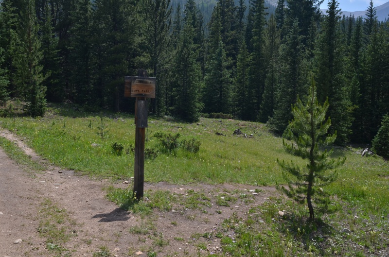
From the trailhead, we followed the Lake Ann Trail for about 1/4 mile to the intersection with the Continental Divide Trail at 38.955325 latitude and -106.462597 longitude.
The trail intersection: left continues to Lake Ann and right takes you across the creeks and toward Virginia Peak before continuing to Hope Pass (All photos by Randy Mack)
Looking west at Virginia Peak from the Lake Ann Trail (This photo and the trail sign photo before it were taken in the afternoon as we returned to the trailhead.)
Shortly after the Continental Divide Trail crosses South Fork - Clear Creek on a well-constructed bridge, it crosses the main Clear Creek on another nice bridge. Not long after the second bridge, we left the trail at 38.957221 latitude and -106.465994 longitude and headed up Virginia Peak's SE ridge.
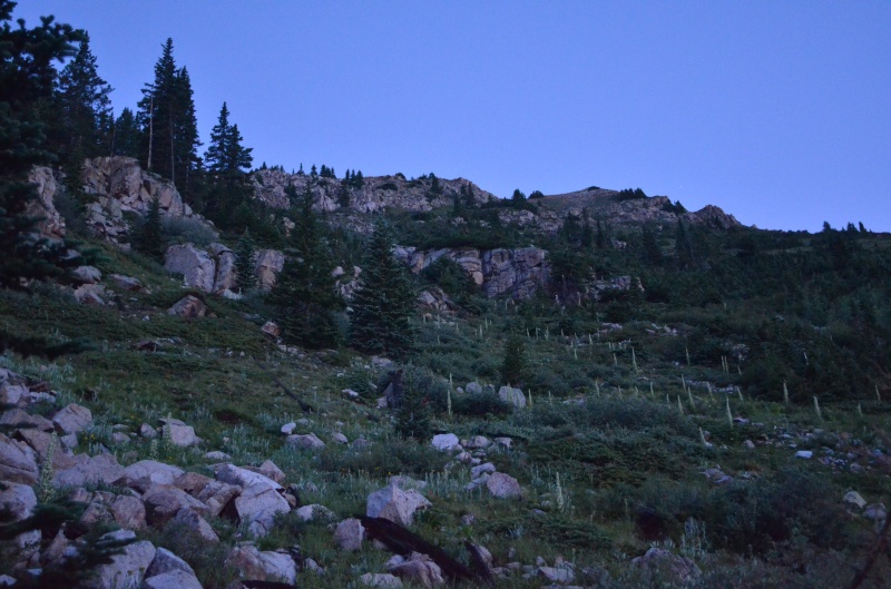
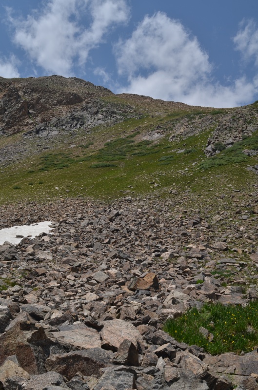
The route up Virginia Peak's SE ridge included rock, tundra, and trees. It also included slipping on wet grass and comments that will not be repeated here
The route above the trees was straightforward and obvious
On Virginia Peak's summit, we found a CMC summit register that had been left in 2013. Many of the usual suspects had signed the register.
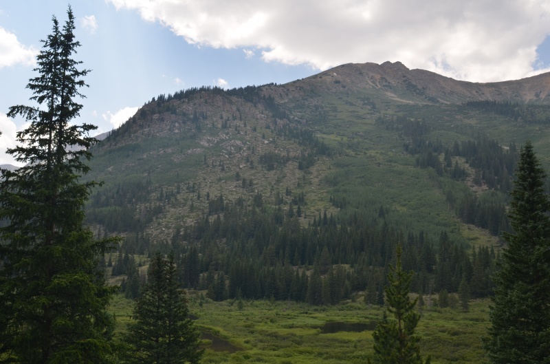
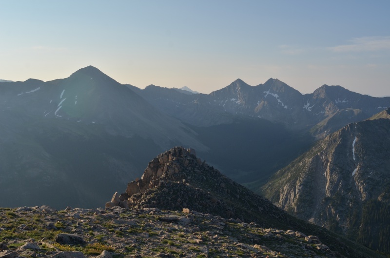
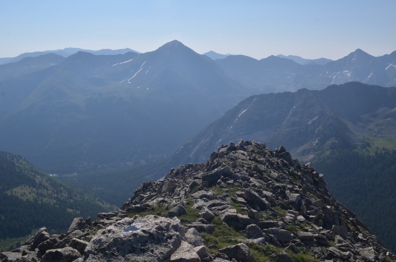
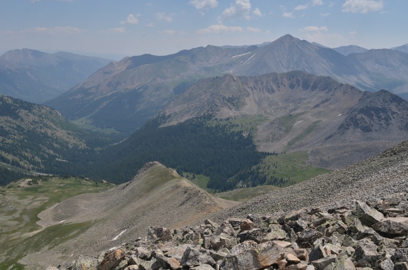
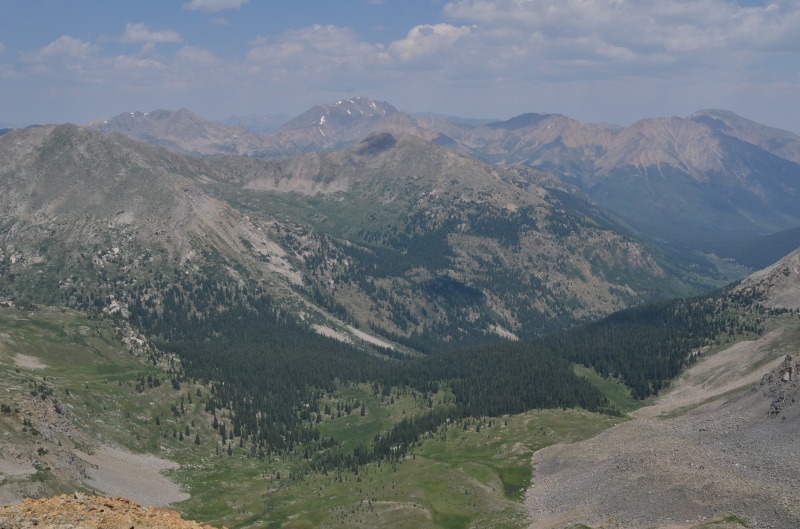
The next objective (West Virginia Peak, far right) and the third peak of the day (Sheep Rock Mtn., left) as seen from Virginia Peak's summit
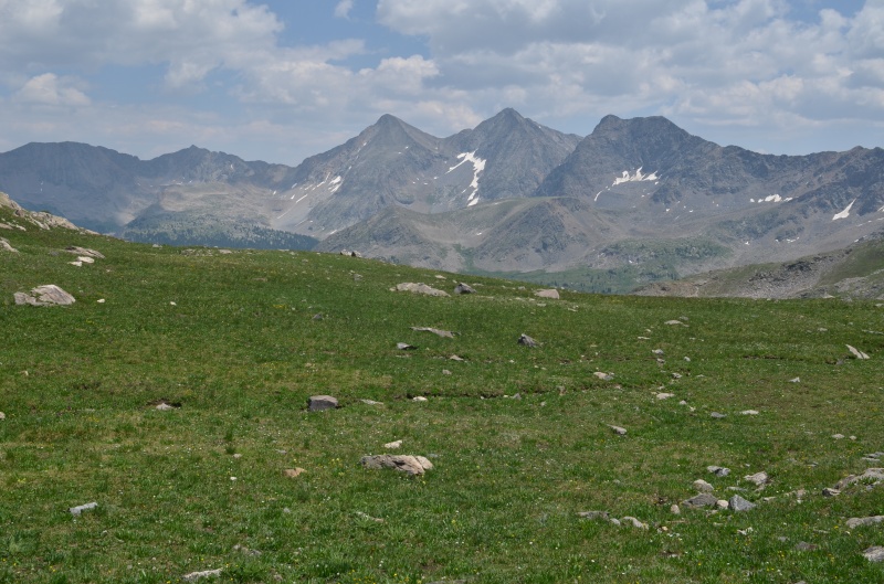
Huron Peak and the Three Apostles seen from Virginia Peak. Haze from the Bootleg Fire in Oregon marred our photos today. The fine particulate matter probably marred our lungs, too.
Looking north at unranked Winfield Peak (13,077') from Virginia Peak's summit
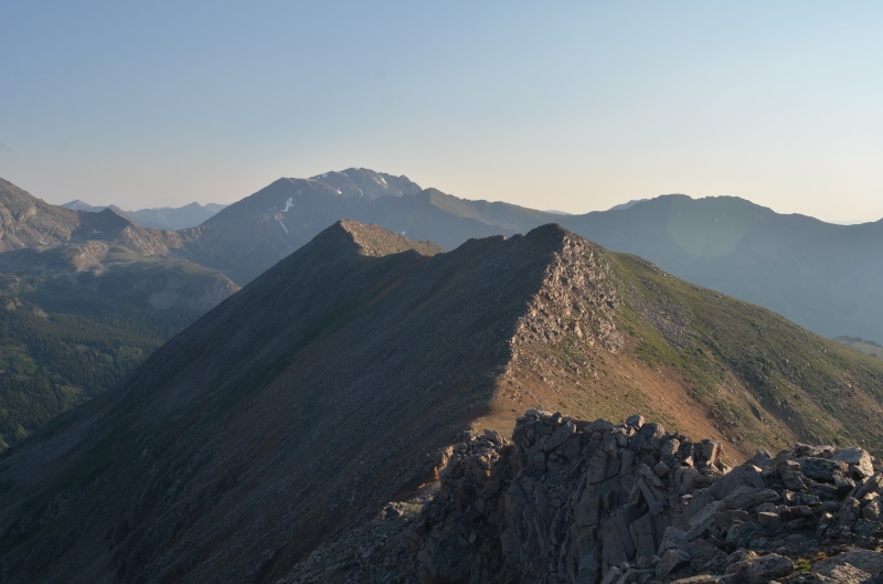
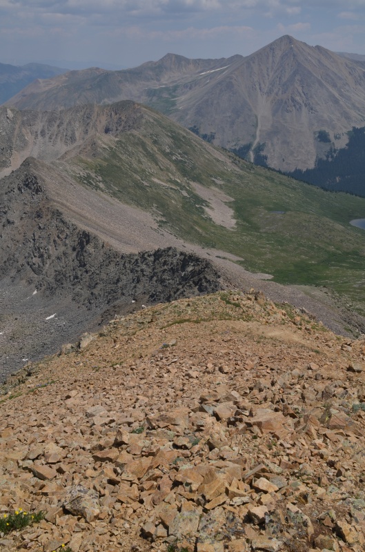
The ridge from Virginia Peak to West Virginia Peak was an easy hike on rock and tundra.
The summit of West Virginia Peak
The ridge to Sheep Rock Mountain (as seen from the summit of West Virginia Peak) is more rock and tundra but is never difficult.
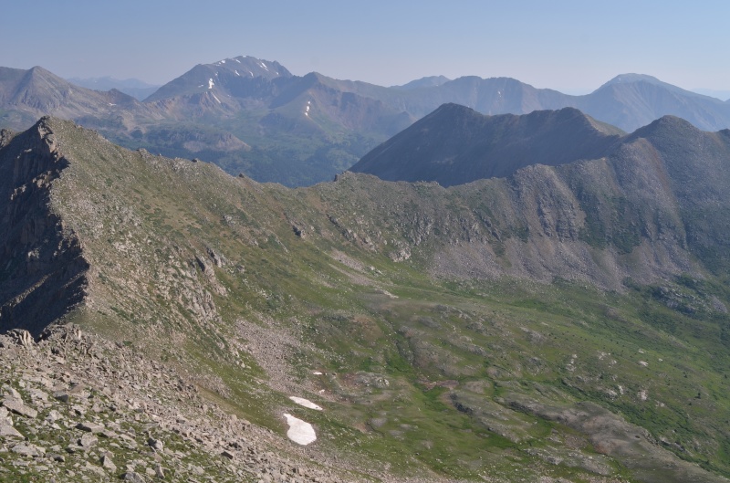
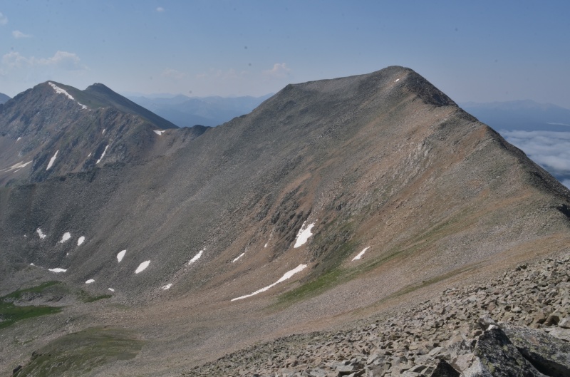
Winfield Peak and Virginia Peak from the summit of West Virginia Peak
The summit of Sheep Rock Mountain
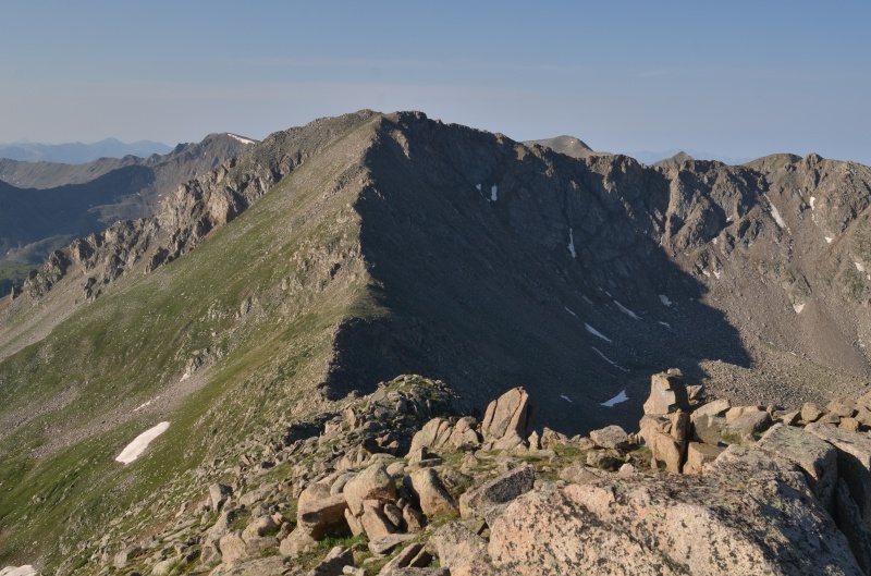
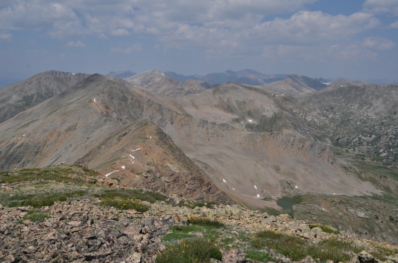
West Virginia Peak (left) and Virginia Peak from the summit of Sheep Rock Mountain
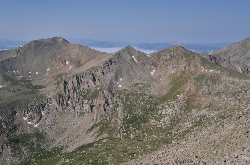
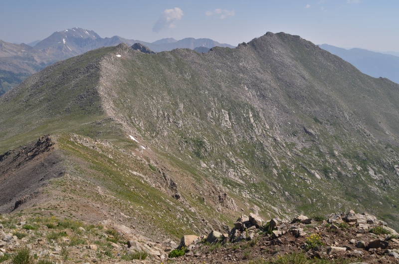
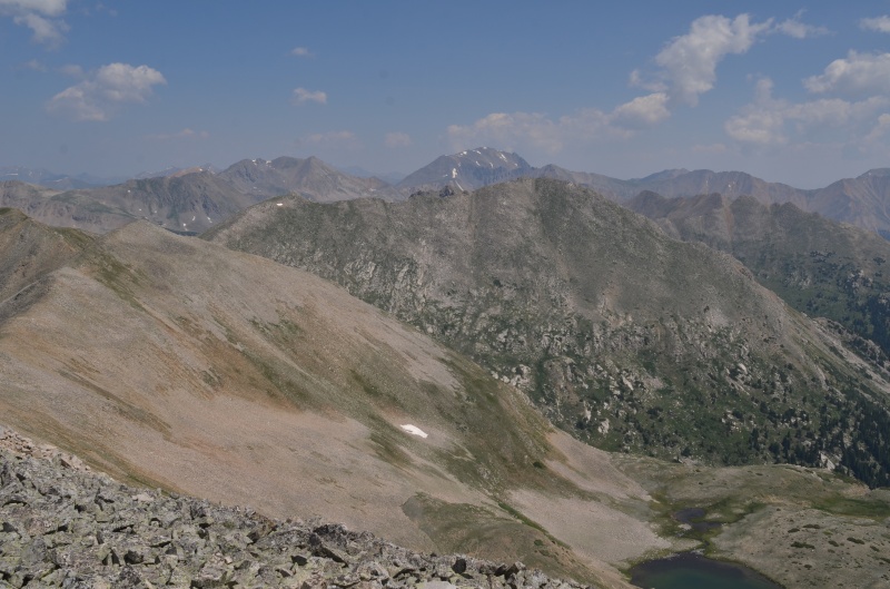
UN 13235 (left) from the summit of Sheep Rock Mountain. The two unranked ridge high points near the center must be climbed over in order to reach UN 13235.
UN 13235 seen from the first of the two unranked ridge points. UN 13253 can be seen in the background on the left.
Looking back toward Sheep Rock Mtn. from the first of the two ridge points
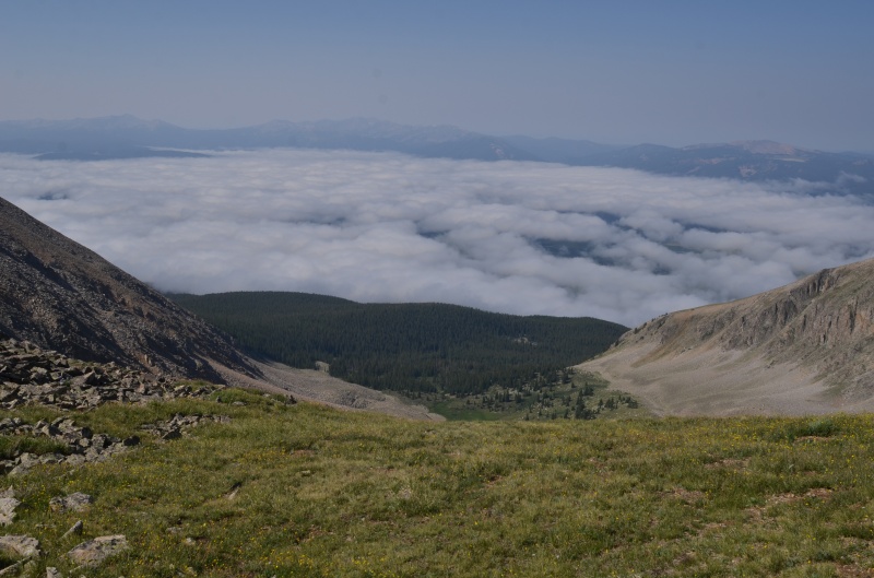
Looking west at a sea of low-lying clouds above Taylor Park from the summit of UN 13235
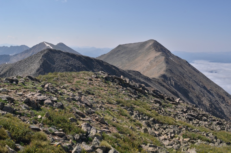
UN 13253 (left) and UN 13235 from the second ridge point
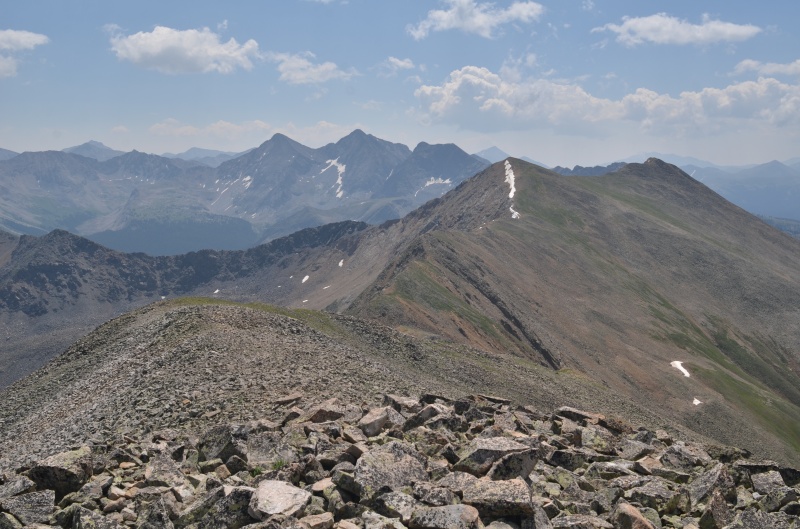
The Three Apostles and UN 13253 from the summit of UN 13235
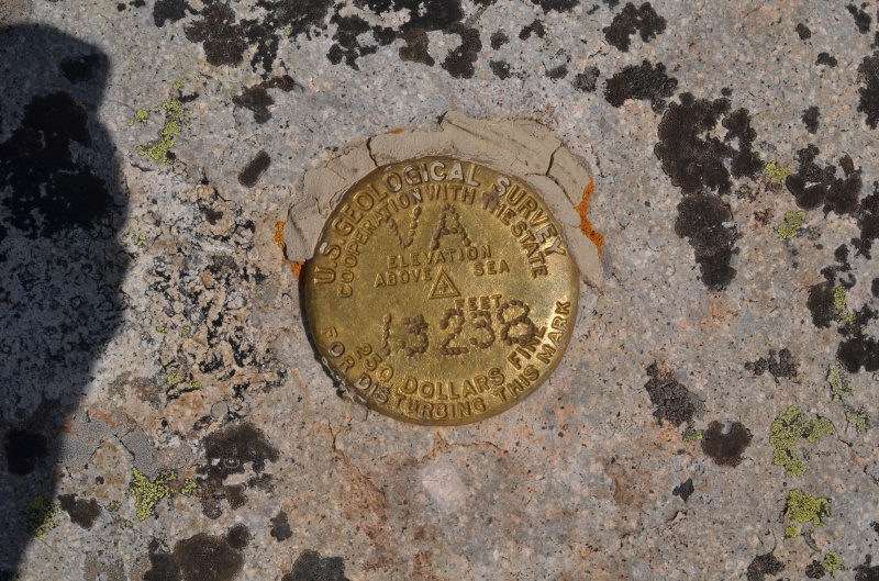
The benchmark on the summit of UN 13235 includes an elevation that doesn't match the the topo map
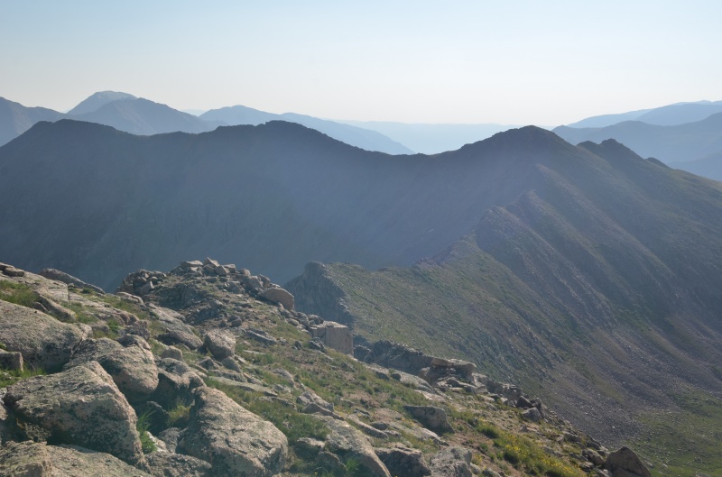
Sheep Rock Mtn from the summit of UN 13235
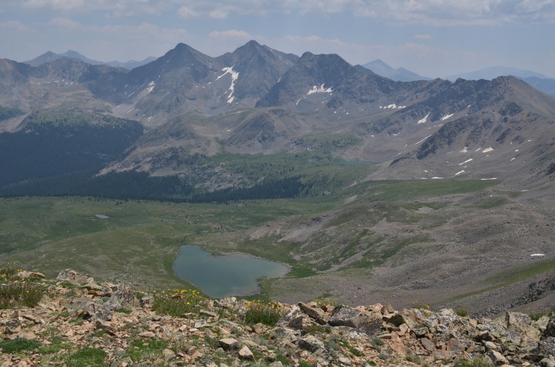
Silver Basin from the summit of UN 13235 with Huron Peak in the background
Looking north from the summit of UN 13253
Looking across Silver Basin from the summit of UN 13253, with West Virginia Peak (left) and Virginia Peak (center) visible
An unnamed lake in Harrison Flat and the Three Apostles as seen from the summit of UN 13253
Looking northeast from the summit of UN 13253 at the ridge we initially descended
Looking back at UN 13253 from our descent route into Harrison Flat
The Three Apostles from Harrison Flat
Once in Harrison Flat, we headed east and ENE until we intercepted the Lake Ann Trail. It was then easy cruising back to the trailhead.
Thumbnails for uploaded photos (click to open slideshow):
You don't happen to have statistics for how long/how much elevation gain you had that day? Separately, do you happen to have a gpx files for others to follow?
bangerth: Sorry, we don't have a gpx file. Our trip report includes the coordinates for the trail intersection and where we left the trail because caltopo doesn't show the section of the Continental Divide Trail that takes you across the creeks. The route is essentially what is shown on Tim Cooney's website at https://www.climb13ers.com/_assets/images/route-maps/61f60f958c5b932fcdcd51abe8f5d38bff8fa87a.1578674450.pdf, although we took a different descent route.
Caution: The information contained in this report may not be accurate and should not be the only resource used in preparation for your climb. Failure to have the necessary experience, physical conditioning, supplies or equipment can result in injury or death. 14ers.com and the author(s) of this report provide no warranties, either express or implied, that the information provided is accurate or reliable. By using the information provided, you agree to indemnify and hold harmless 14ers.com and the report author(s) with respect to any claims and demands against them, including any attorney fees and expenses. Please read the 14ers.com Safety and Disclaimer pages for more information.
Please respect private property: 14ers.com supports the rights of private landowners to determine how and by whom their land will be used. In Colorado, it is your responsibility to determine if land is private and to obtain the appropriate permission before entering the property.


")
")
")
")
")
")
")
")
")
")
")
")
")
")
")
")
")
")
")
")
")
")
")
")
")
")
")