Download Agreement, Release, and Acknowledgement of Risk:
You (the person requesting this file download) fully understand mountain climbing ("Activity") involves risks and dangers of serious bodily injury, including permanent disability, paralysis, and death ("Risks") and you fully accept and assume all such risks and all responsibility for losses, costs, and damages you incur as a result of your participation in this Activity.
You acknowledge that information in the file you have chosen to download may not be accurate and may contain errors. You agree to assume all risks when using this information and agree to release and discharge 14ers.com, 14ers Inc. and the author(s) of such information (collectively, the "Released Parties").
You hereby discharge the Released Parties from all damages, actions, claims and liabilities of any nature, specifically including, but not limited to, damages, actions, claims and liabilities arising from or related to the negligence of the Released Parties. You further agree to indemnify, hold harmless and defend 14ers.com, 14ers Inc. and each of the other Released Parties from and against any loss, damage, liability and expense, including costs and attorney fees, incurred by 14ers.com, 14ers Inc. or any of the other Released Parties as a result of you using information provided on the 14ers.com or 14ers Inc. websites.
You have read this agreement, fully understand its terms and intend it to be a complete and unconditional release of all liability to the greatest extent allowed by law and agree that if any portion of this agreement is held to be invalid the balance, notwithstanding, shall continue in full force and effect.
By clicking "OK" you agree to these terms. If you DO NOT agree, click "Cancel"...
I’ve hiked Rito Alto Peak before, but due to an early snowstorm had to skip Hermit and Eureka. Today I was going back for those two (but hit Rito Alto again as well because I didn’t get good photographs).
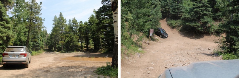
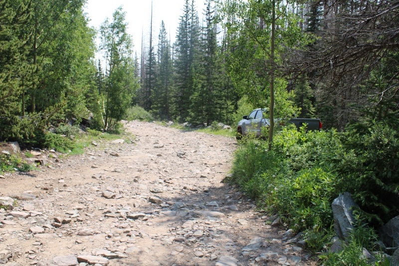
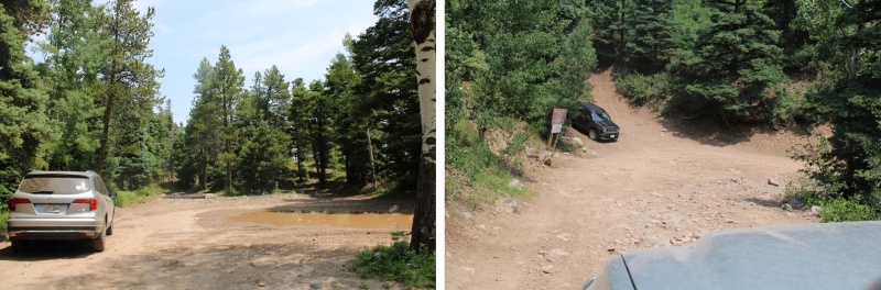
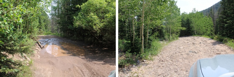
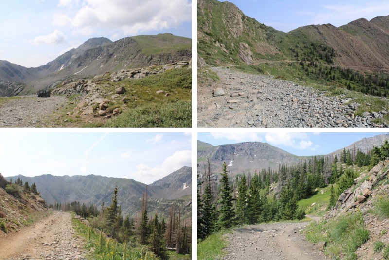
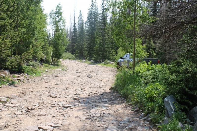
If you love your vehicle, park at around 9000’. Seriously. This road is a lot worse than it was the last time I was here, and even then it was pretty bad. Here’s the parking area(s) around 9000’
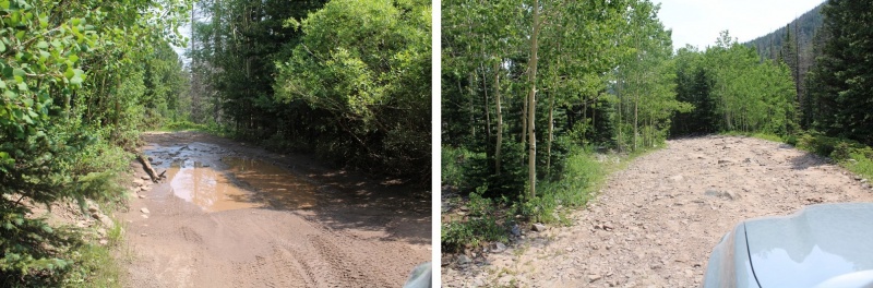
I have a new Tacoma, and wanted to see what it could do, so I continued driving further. You’ll definitely want both high clearance and 4WD to continue.
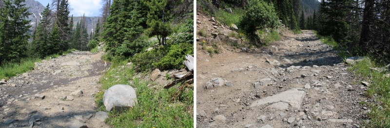
If you can make it past 10,500’ you can make it all the way to the pass. I stopped and parked at a camping area at 10,800’ because that was where I’d parked last time. I gathered my gear and was on the trail at 4:30am.
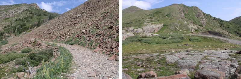
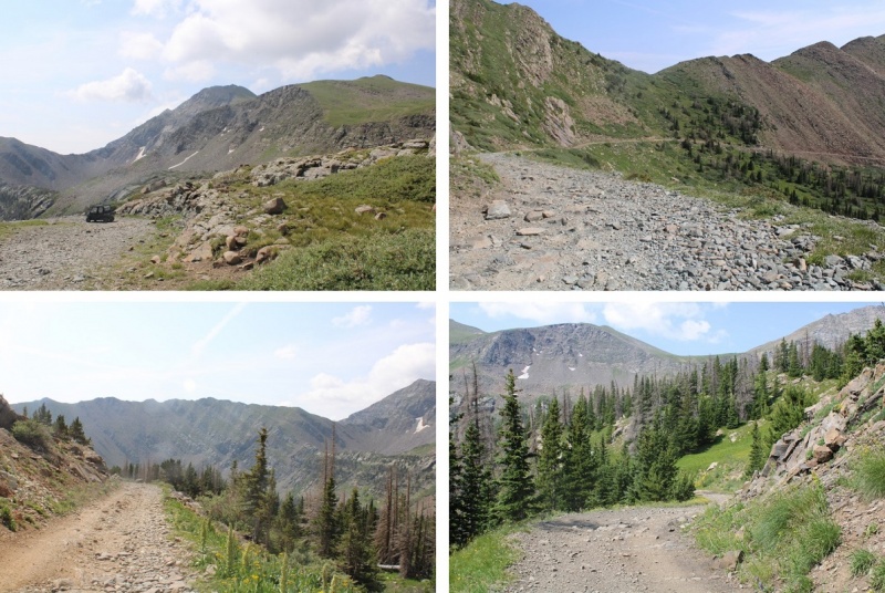
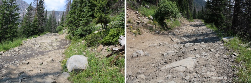
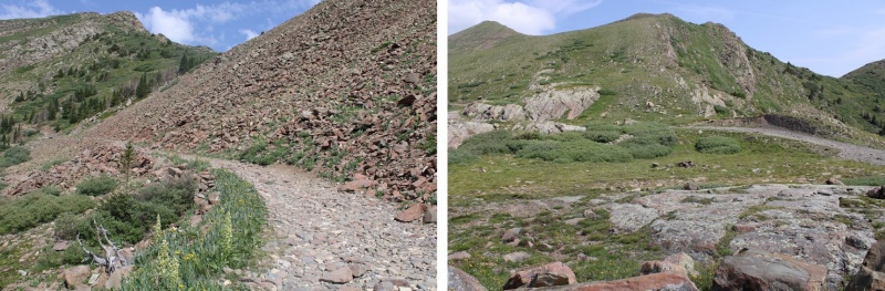
I followed the 4WD road west towards Hermit Pass.
It was early morning, and I could hear the coyotes calling to each other. This lasted for about 10 minutes. I was actually a little concerned when they stopped yipping.
Coyotes:
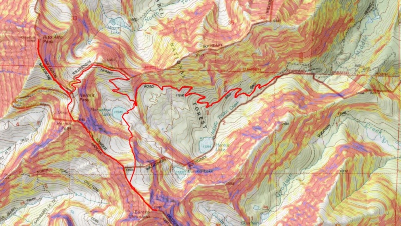
From my parking spot I hiked 4.2 miles to Hermit Pass
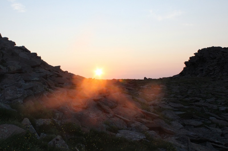
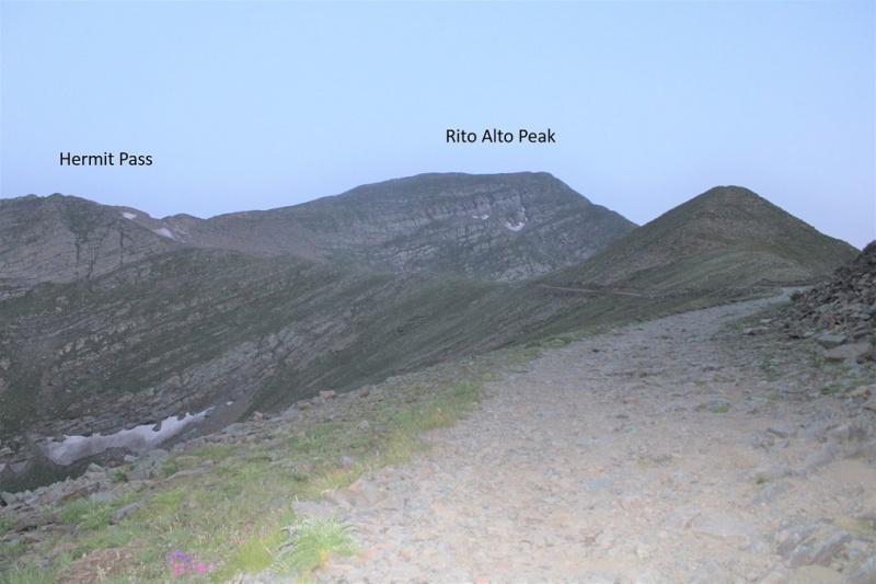
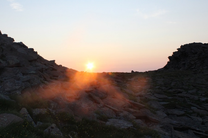
As the sun rose, I could already tell I wouldn’t be getting great pictures today: the haze from the fires wasn’t going to cooperate.
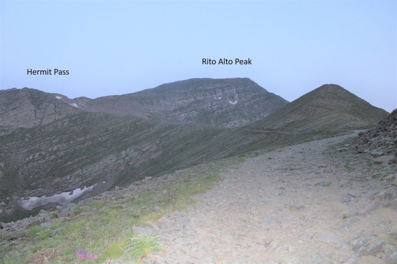
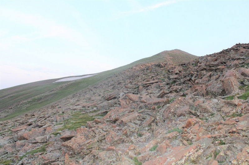
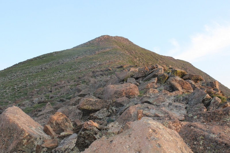
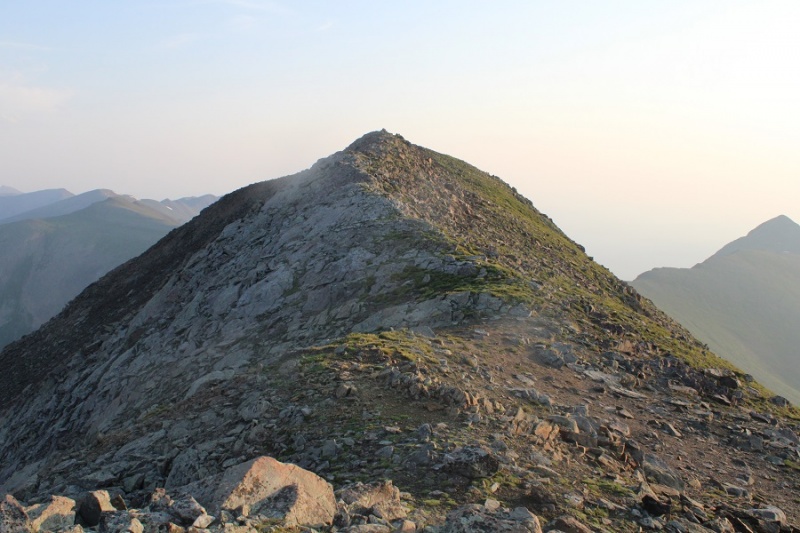
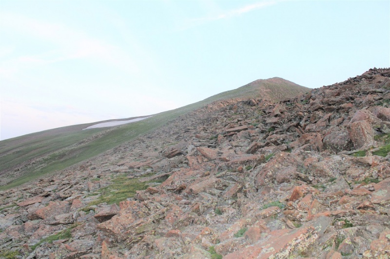
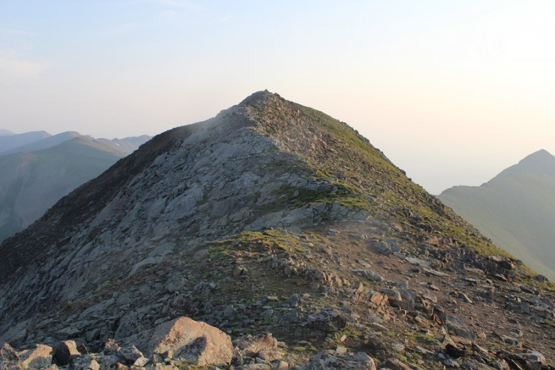
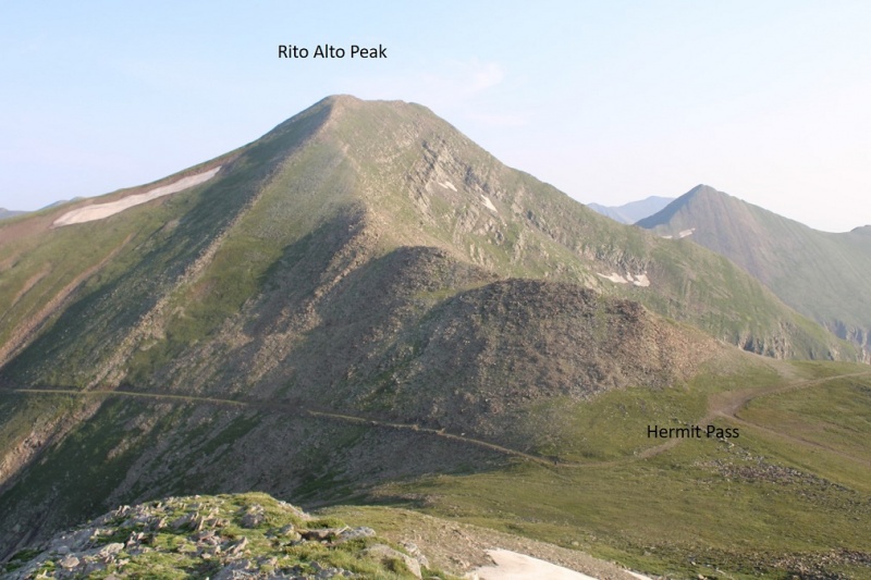
I made it to Hermit Pass, turned right, and followed the ridge northeast to the summit of Rito Alto Peak. This ridge has a lot of large rocks, mixed with tundra. The rocks have the Crestone-grip and most don’t roll.
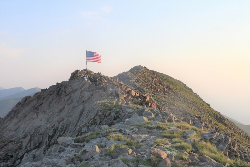
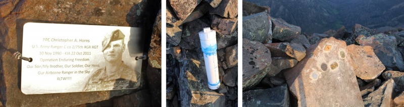
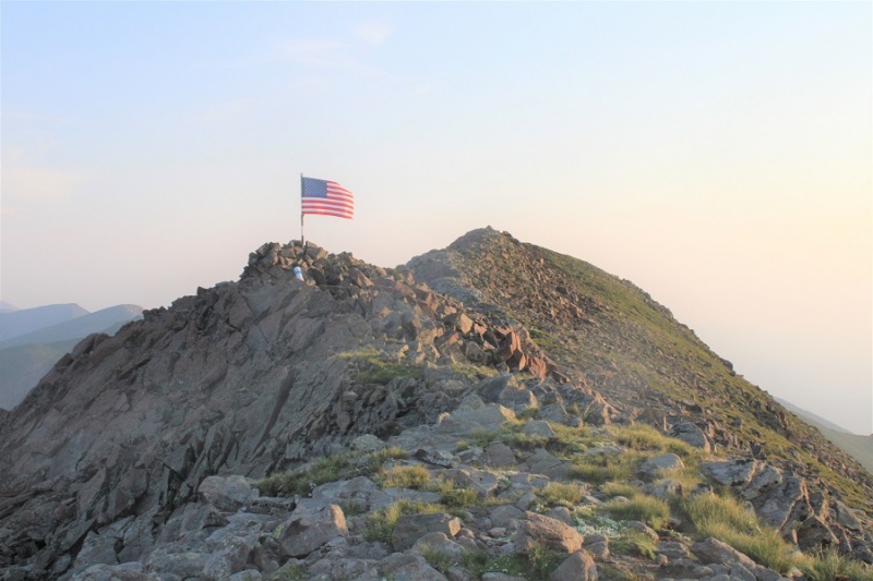
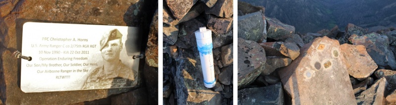
Just before the summit there’s a ‘false summit’ with a memorial to Christopher Horns. They’ve replaced the flag since the last time I was here, and added a large summit register tube.
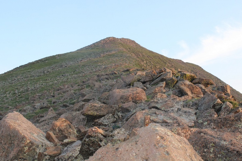
I continued heading north to the summit of Rito Alto Peak.
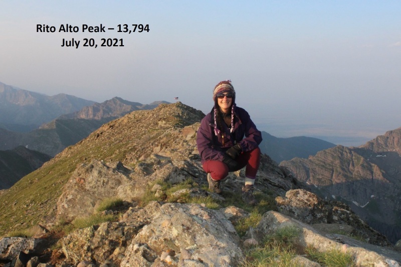
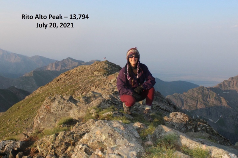
I summited Rito Alto Peak at 6:45am. Note, there was a very small summit register here, in a jar that looked to be about 1.5 inches in diameter: like one of those sample jam jars. I left it where it was.
Rito Alto Peak:
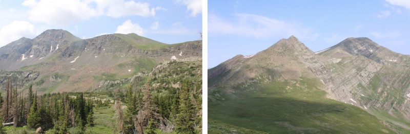
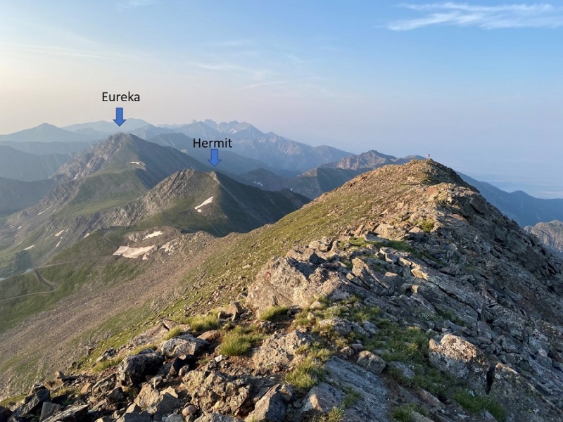
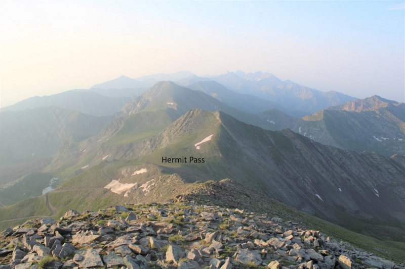
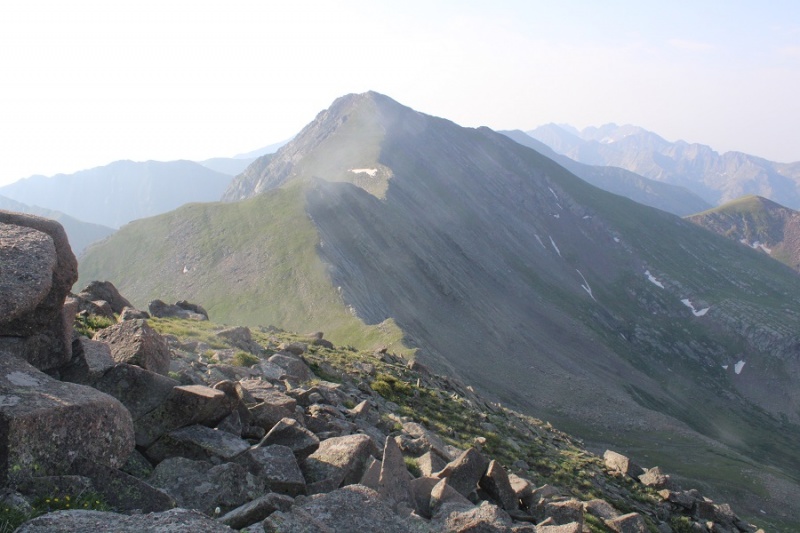
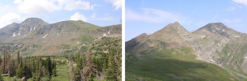
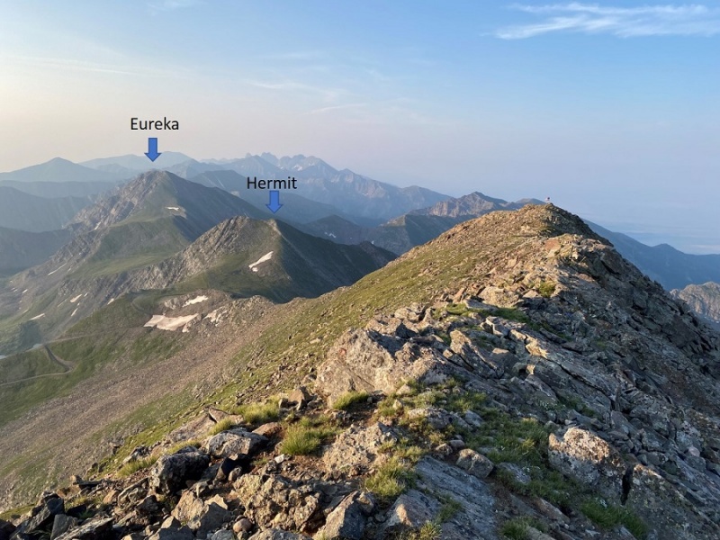
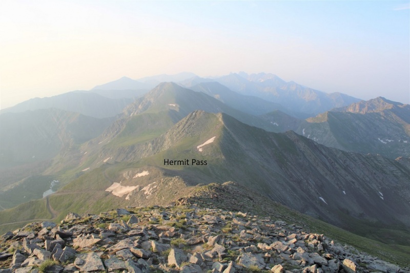
From the summit I had a good view of the other peaks I intended to summit today (if not a good view of the area overall).
I turned and headed back towards Hermit Pass.
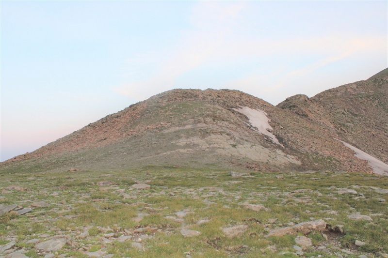
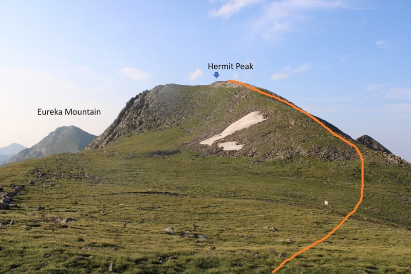
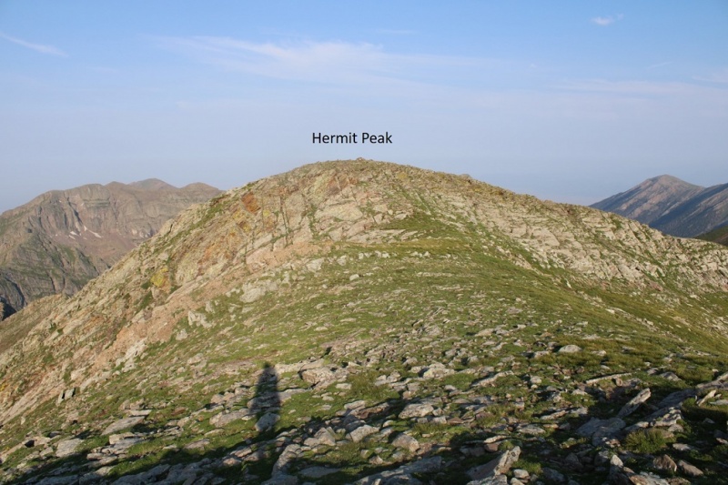
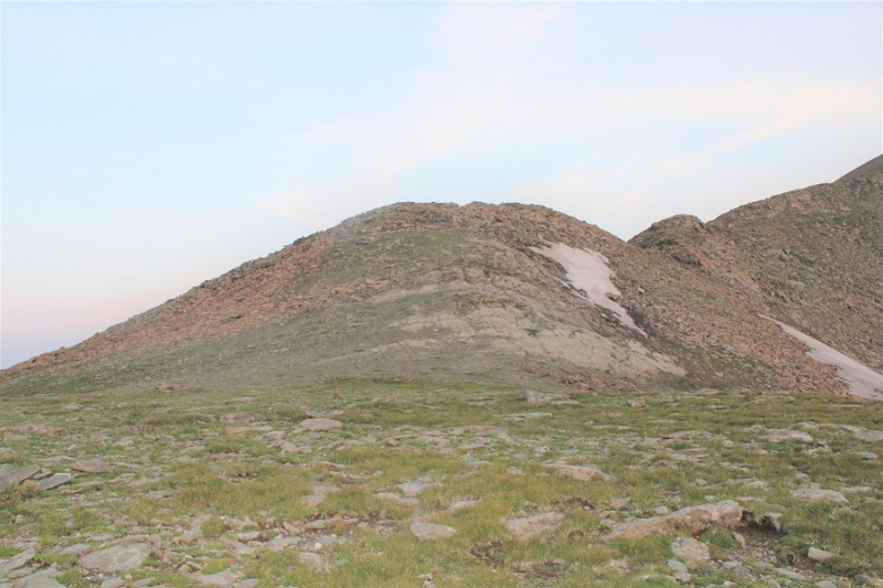
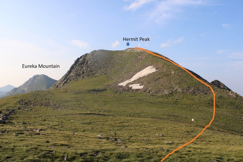
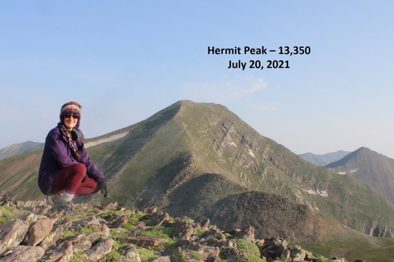
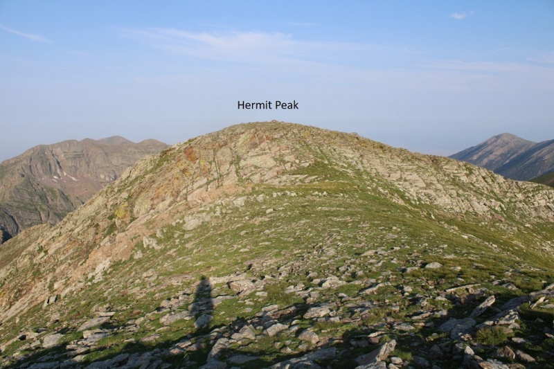
Once at Hermit Pass I chose the path of least resistance to the summit of Hermit Peak, making this a ridge hike. The true summit is hard to determine, as both the east and west ‘highpoints’ look like the summit, and indeed, both have cairns. CalTopo says the true summit is to the right (west).
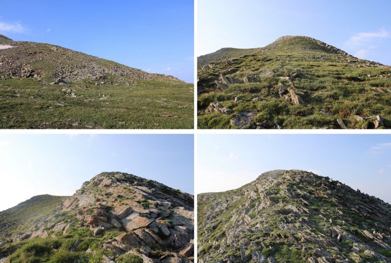
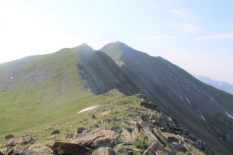
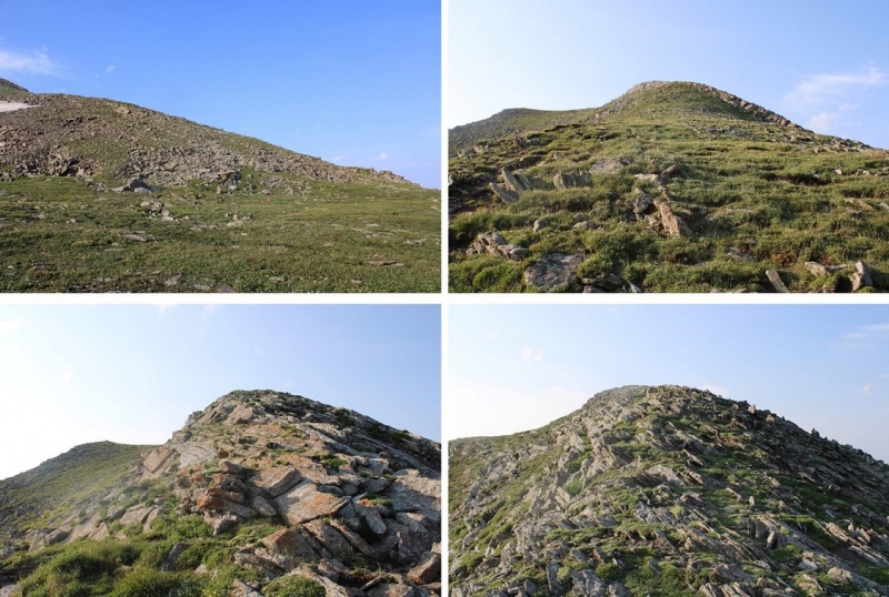
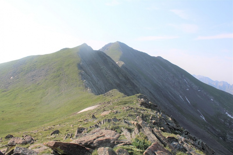
Here are some pictures of the ridge hike, mostly on tundra to the summit of Hermit Peak
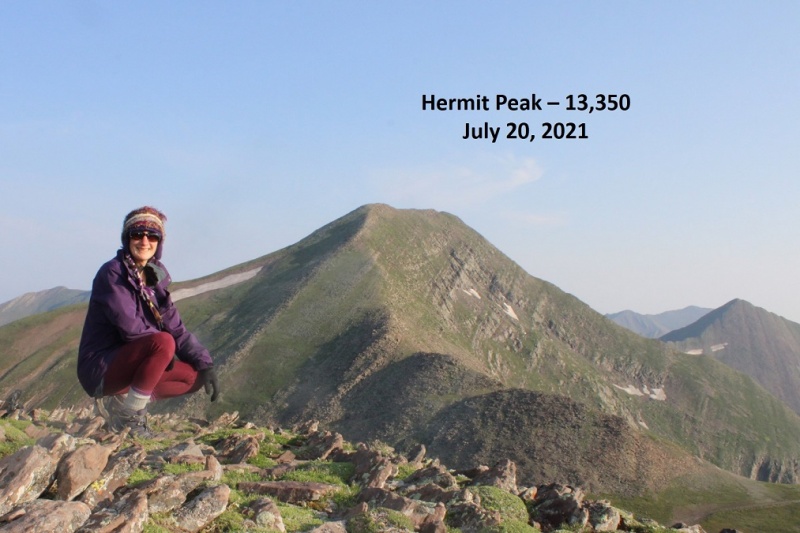
Hermit Peak:
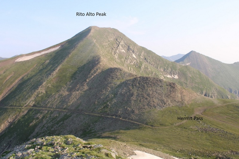
Here’s looking back at Rito Alto Peak
And now, on to Eureka. I first crossed over to the east side of Hermit Peak (which also had a cairn)
Here’s looking back at Hermit Peak from the cairn on the other side
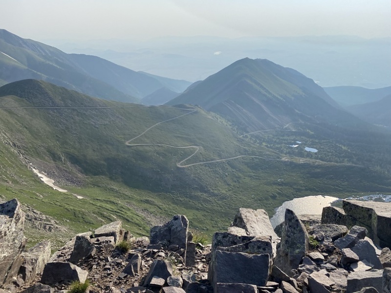
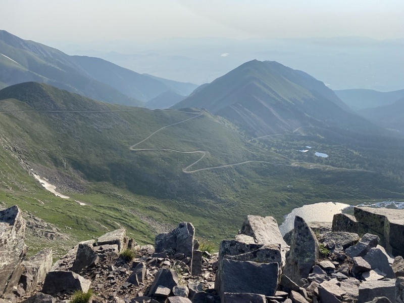
Here’s looking back from that point at the Hermit Pass Road I took hiking in
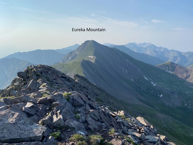
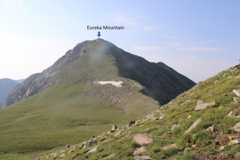
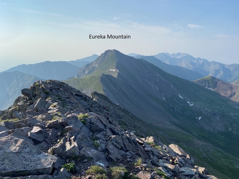
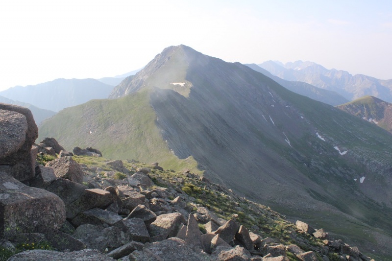
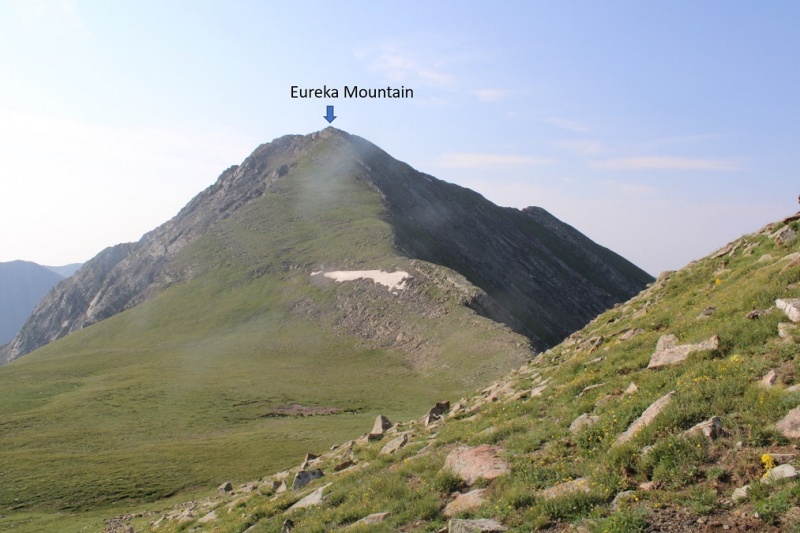
And from that point looking southwest to Eureka. As you can see, this is another ridge hike
While it might look sketchy, this ridge stays at class 2. First, I descended about 650’ down the ridge
Then ascended 300’
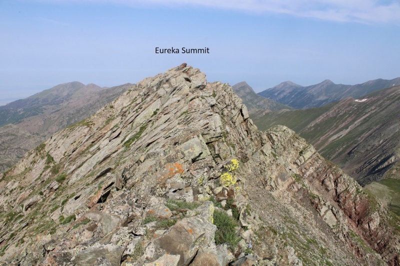
And descended another 150’ before gaining 550’ to reach the summit of Eureka Mountain. Note the true summit here is also to the west (this will be hard to determine when you’re up there, as it looks like it should be the point further east).
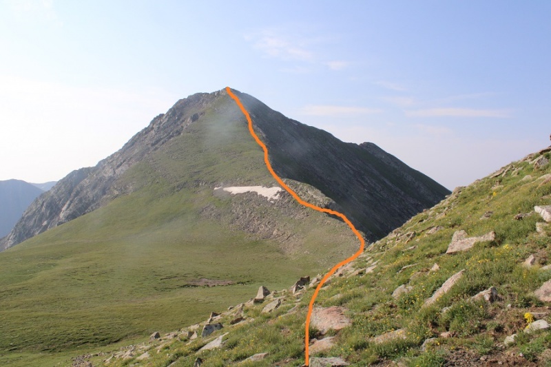
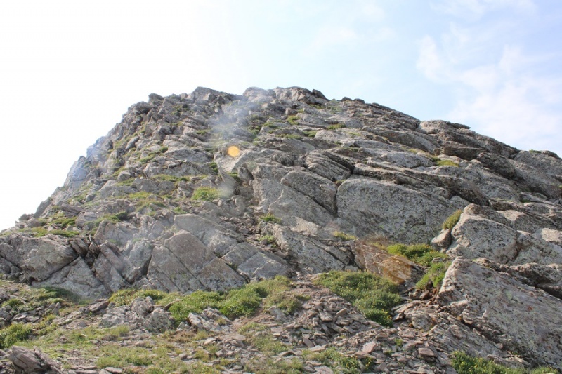
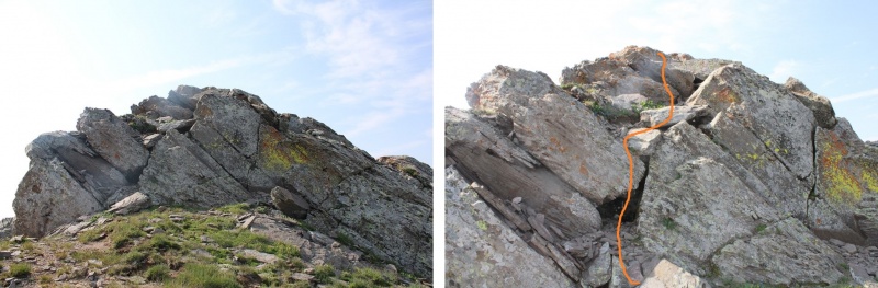
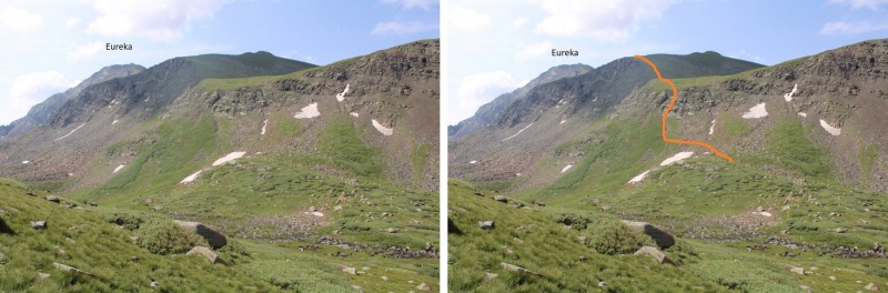
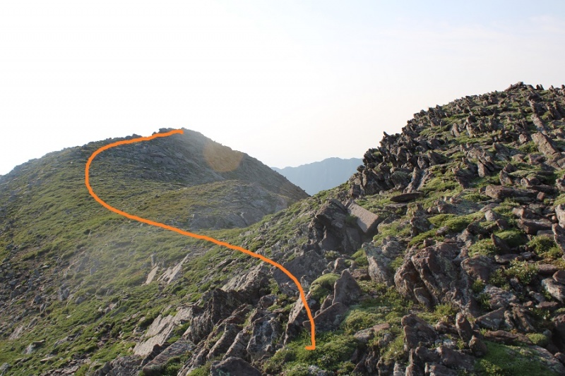
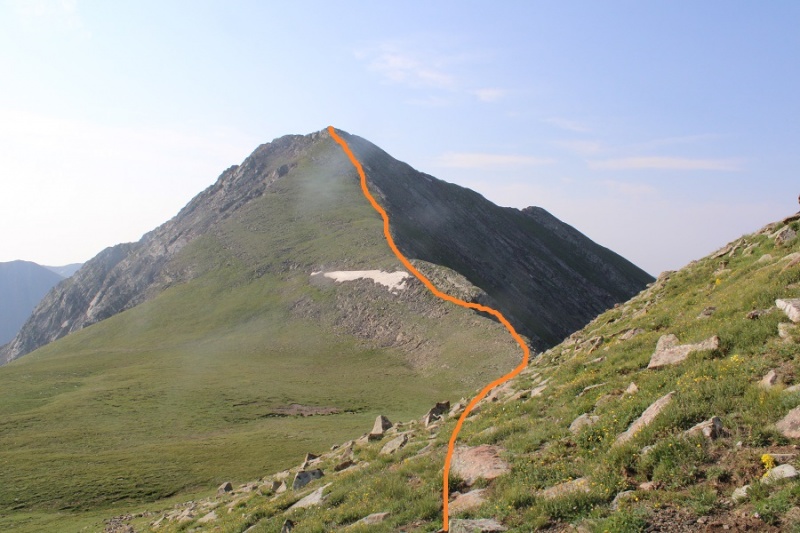
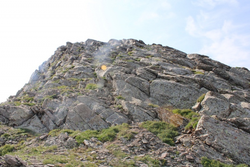
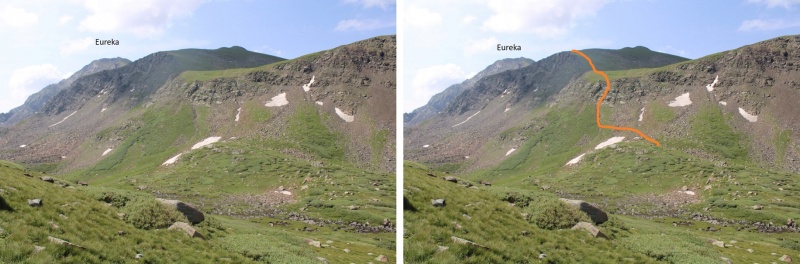
The hike is a tundra/rock ridge hike until the last 20 feet or so. Here’s the route I took, staying above the snow but below a rock formation on the ridge. You could also just go straight up the south face.
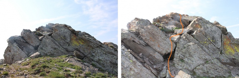
Just before the summit there was a little (very easy) scrambling
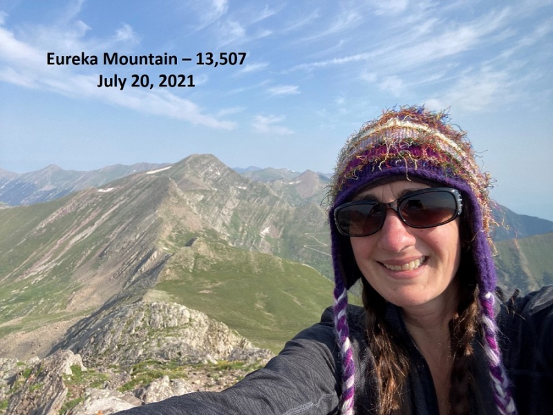
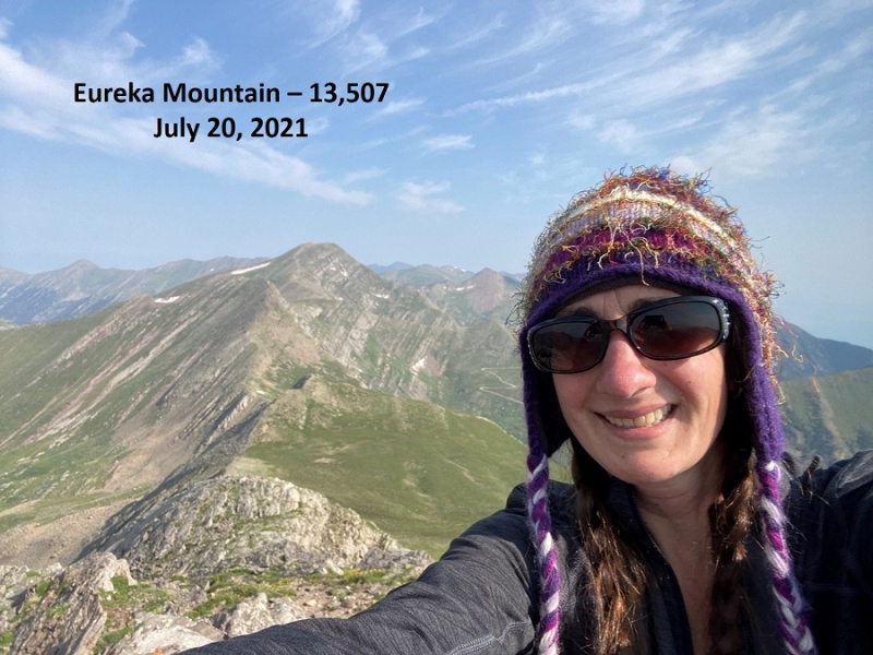
I summited Eureka Mountain at 9am. It was a small summit, so I sat on it but didn’t stand. I took a selfie instead of setting up my camera.
Eureka Mountain:
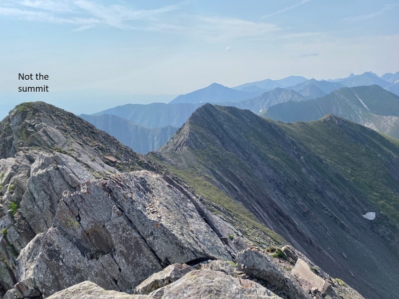
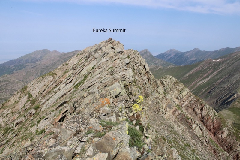
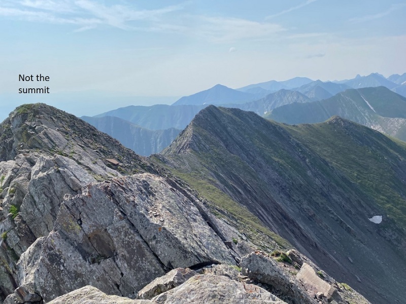
From here you can see, looking east, how it looks like that might be the summit. I wanted to be sure, so I hiked over there (sketchy class 2)
This area was actually lower, but gave me a good view of the true (small) summit of Eureka
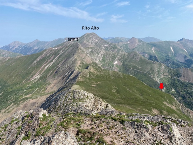
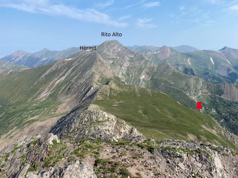
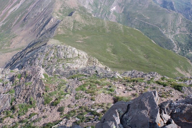
I made my way back to the true summit and headed back down the ridge the way I came, eventually heading towards the red arrow.
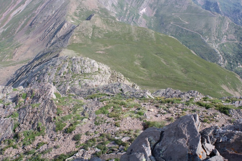
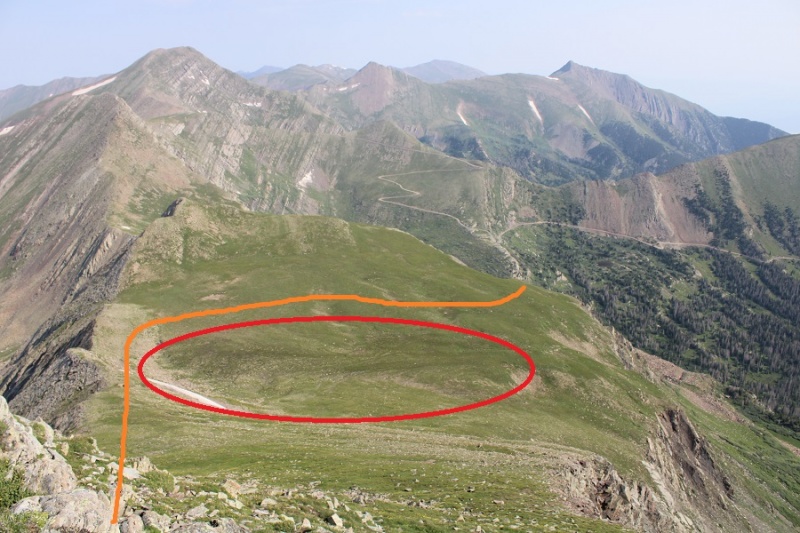
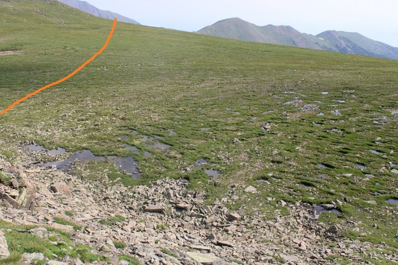
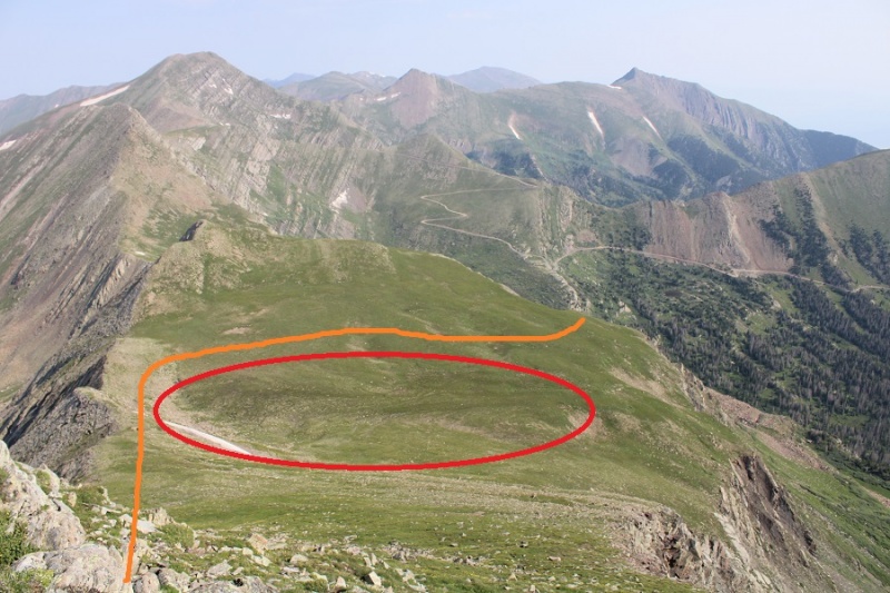
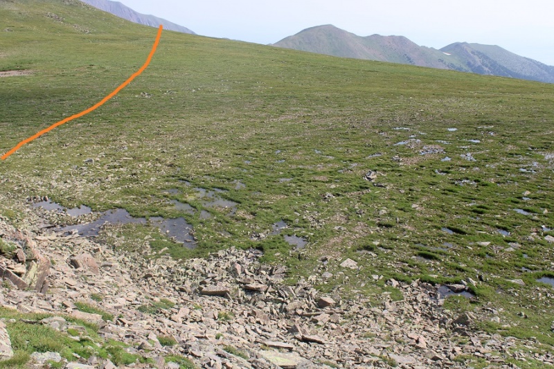
I stayed on the ridge to avoid the marshy area, which didn’t look like a fun time. Once above the marshy area I cut across the tundra to the east side of the mountain
Here’s a closer look at the wet area, and my route across
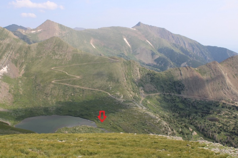
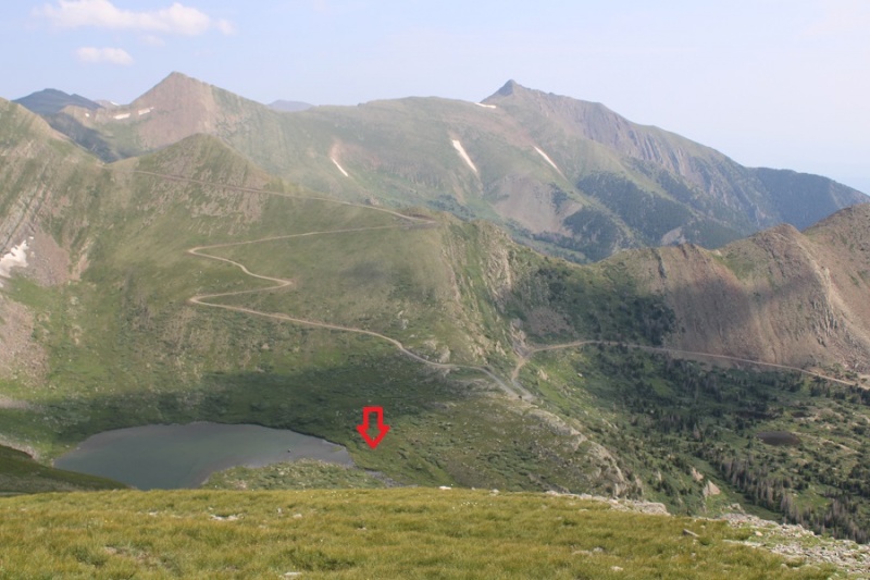
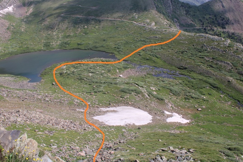
As I skirted the ridge, I could see my intended route back to the road. I was aiming north, towards the smallest outlet of Horseshoe Lake. Once I made it there I would cross the stream and I hike up the hillside, back to the road.
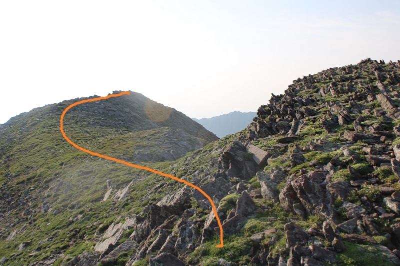
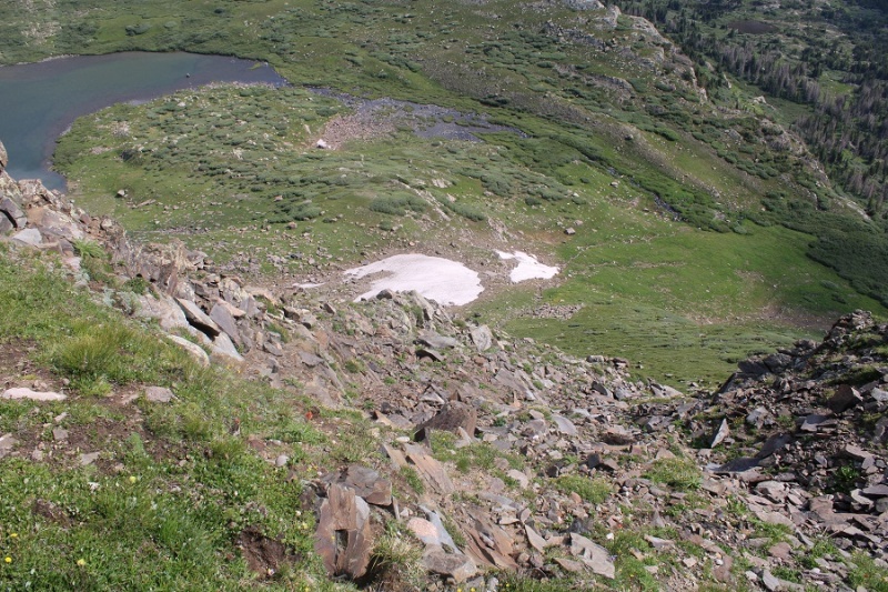
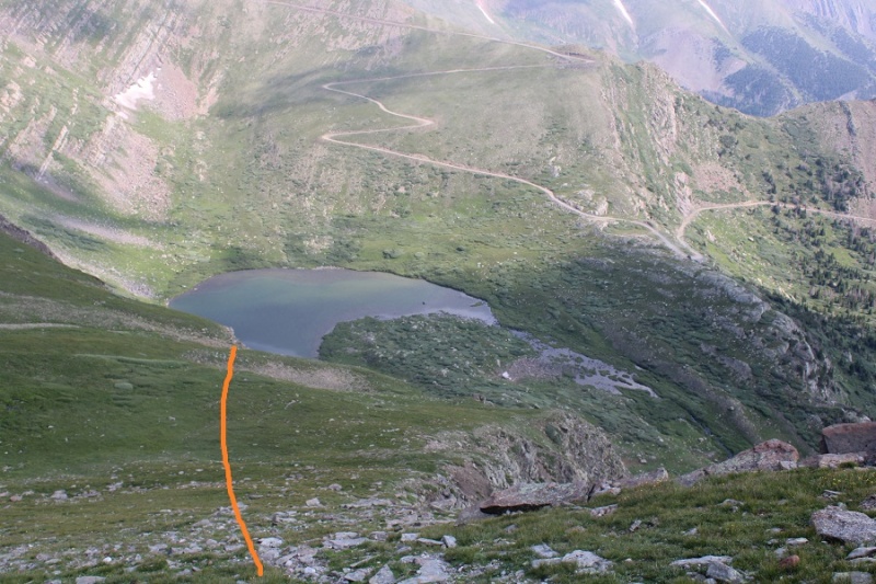
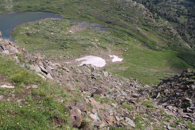
First, I had to descend a gully. This was difficult class 2 at the hardest. There will be pictures later: make sure to descend the correct gully to make this easier.
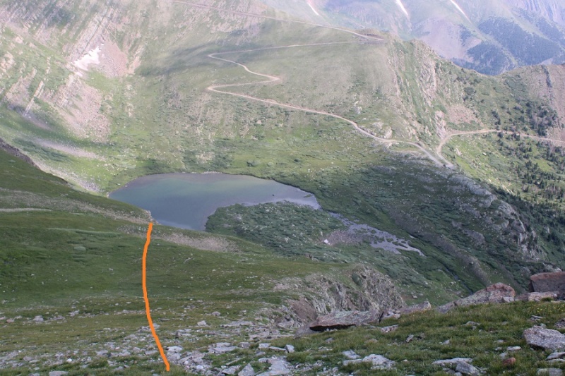
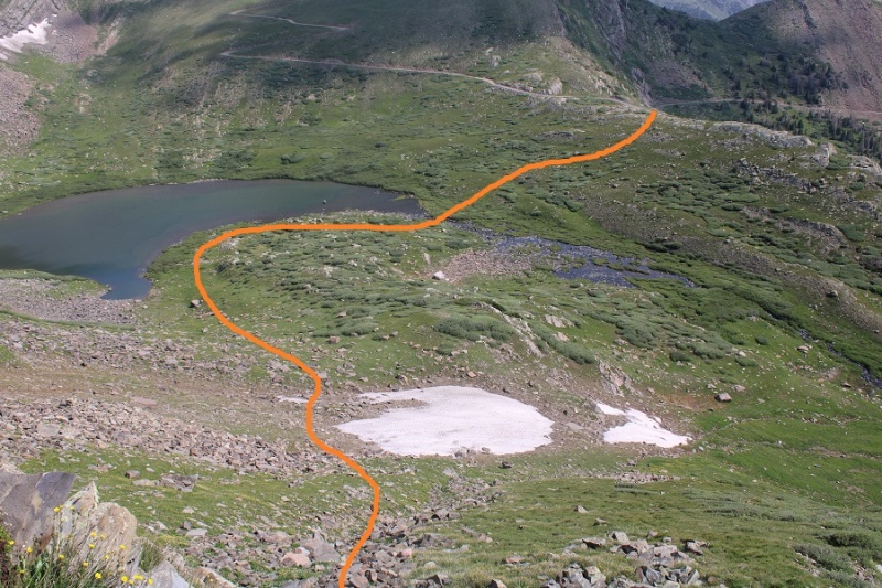
Here’s the route I took down the gully, towards Horseshoe Lake, and back to the road. There were some willows to navigate near Horseshoe Lake, but once again, all class 2.
From the road, here’s a view of the path I took down the gully. If it’s daylight when you’re hiking in, spend some time visually memorizing the route.
Back on Hermit Pass Road, I followed it east back to my truck
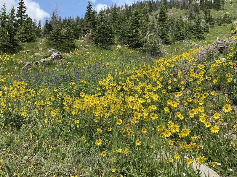
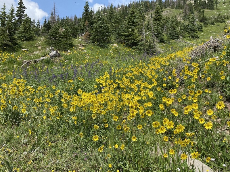
The wildflowers were on point
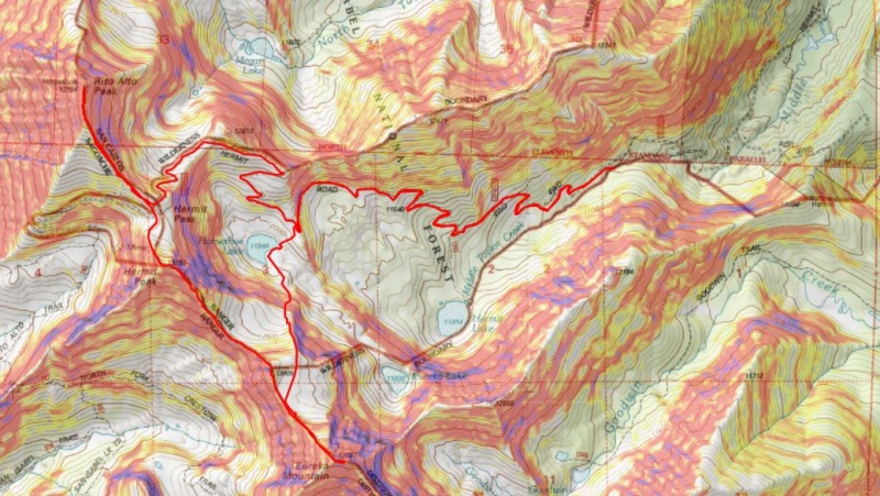
I made it back to my truck at 11:15am, making this a 12.2 mile hike with 4551’ of elevation gain in 6 hours, 45 min.
The drive down wasn’t any better than the drive up, but Miles got his first real 4WD workout, and had fun splashing through the mud!
Thumbnails for uploaded photos (click to open slideshow):
It looks like a pleasant, quality day at high elevation. Well done with the effort as always. Thank you for posting this good trip report on another 13ers route, too.
Caution: The information contained in this report may not be accurate and should not be the only resource used in preparation for your climb. Failure to have the necessary experience, physical conditioning, supplies or equipment can result in injury or death. 14ers.com and the author(s) of this report provide no warranties, either express or implied, that the information provided is accurate or reliable. By using the information provided, you agree to indemnify and hold harmless 14ers.com and the report author(s) with respect to any claims and demands against them, including any attorney fees and expenses. Please read the 14ers.com Safety and Disclaimer pages for more information.
Copyright: Route information, text, risk factors, maps, GPX files, charts, photos, 14ers.com-created map imagery, flythroughs, and other content provided in this route description are copyrighted by 14ers.com and may not be copied, reproduced, republished, distributed, modified, or used to create derivative works without prior written permission.
Please respect private property: 14ers.com supports the rights of private landowners to determine how and by whom their land will be used. In Colorado, it is your responsibility to determine if land is private and to obtain the appropriate permission before entering the property.