Download Agreement, Release, and Acknowledgement of Risk:
You (the person requesting this file download) fully understand mountain climbing ("Activity") involves risks and dangers of serious bodily injury, including permanent disability, paralysis, and death ("Risks") and you fully accept and assume all such risks and all responsibility for losses, costs, and damages you incur as a result of your participation in this Activity.
You acknowledge that information in the file you have chosen to download may not be accurate and may contain errors. You agree to assume all risks when using this information and agree to release and discharge 14ers.com, 14ers Inc. and the author(s) of such information (collectively, the "Released Parties").
You hereby discharge the Released Parties from all damages, actions, claims and liabilities of any nature, specifically including, but not limited to, damages, actions, claims and liabilities arising from or related to the negligence of the Released Parties. You further agree to indemnify, hold harmless and defend 14ers.com, 14ers Inc. and each of the other Released Parties from and against any loss, damage, liability and expense, including costs and attorney fees, incurred by 14ers.com, 14ers Inc. or any of the other Released Parties as a result of you using information provided on the 14ers.com or 14ers Inc. websites.
You have read this agreement, fully understand its terms and intend it to be a complete and unconditional release of all liability to the greatest extent allowed by law and agree that if any portion of this agreement is held to be invalid the balance, notwithstanding, shall continue in full force and effect.
By clicking "OK" you agree to these terms. If you DO NOT agree, click "Cancel"...
For the 4th of July weekend I usually don't go camping, its generally just crowded everywhere. I'd been working in Arkansas for a while, but things were going well so I was able to squeeze a few extra days off around the holiday weekend. Flew in to Denver on Thursday 6-30 from Little Rock, unpacked, repacked, and hit the road for Durango where I had a room for the night. Got in to Durango around 11pm.
2 items I added that were sorely missed from my first Chicago Basin trip: sandals and a chair.
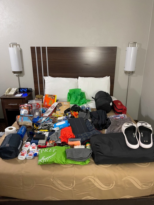
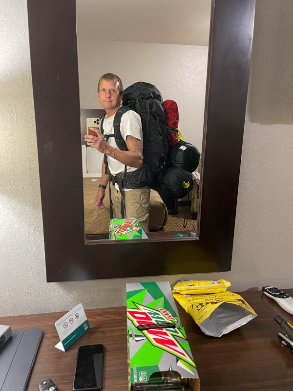
Spent a few hours organizing and packing to make sure I hadn't forgot anything, I was all good to go.
I didn't weigh it, but I'd guess 45 lbs. Didn't pack any Diet. Mt. Dew, unfortunately.
Made it to bed around 1am, I wasn't in any big rush to be up early as I wasn't taking the train. woke up around 8, drove to Purgatory, was on the trail around 9:30am.
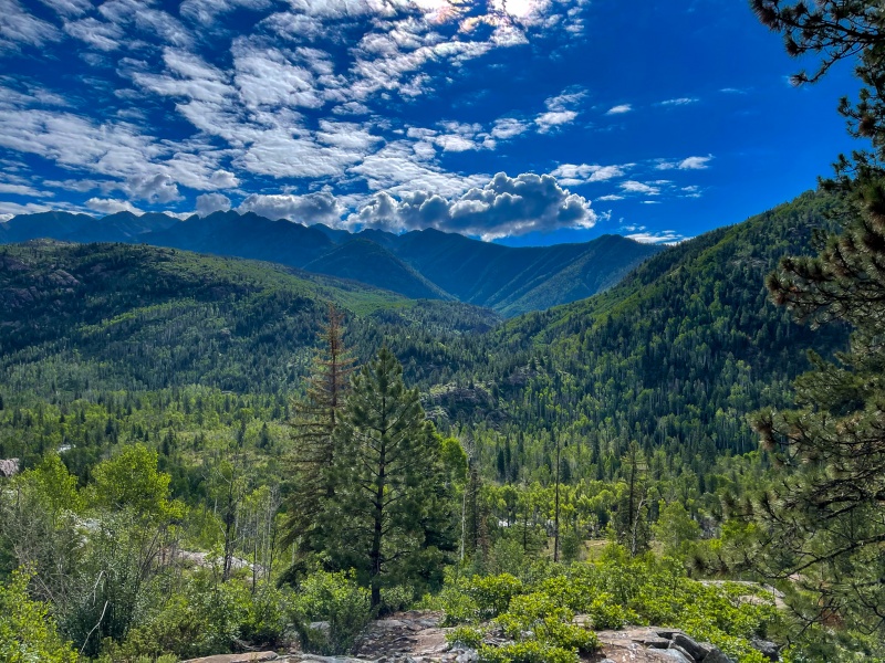
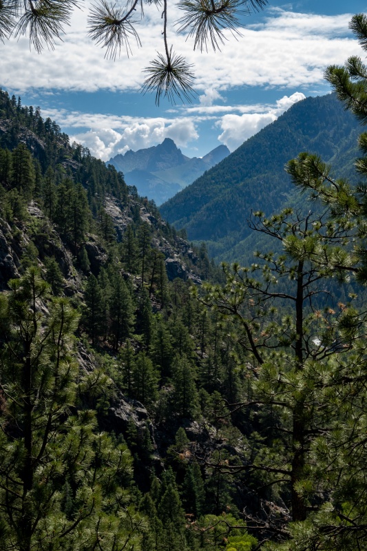
Nice views early on.
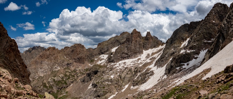
First view of Pigeon/Turret.
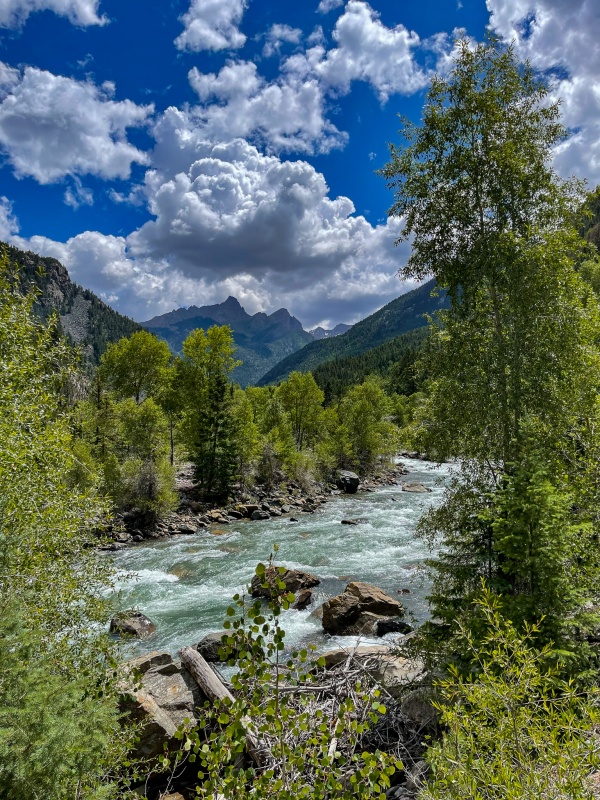
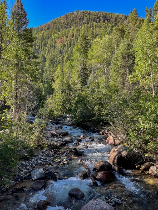
Animas River
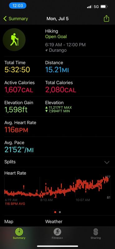
I didn't take a lot of pictures hiking in, didn't see many people until reaching the Needleton trail. From Purgatory to the Needleton trail took a hair over 4 hours. From there its a little over 5 miles to Chicago basin, my total time for the day was 6:48. Apple gave me 15.89 miles and 3779' of elevation gain, Garmin Inreach showed 17.7 miles. Apple usually gives me greater distance, but not today. I was wiped. I've never done that much distance with that much weight.
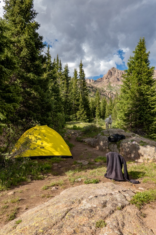
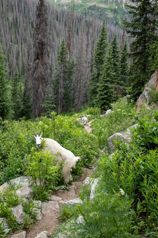
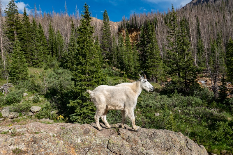
Base camp just below 11,000'. Hospitality goat approves. Or was looking for pee. Probably both.
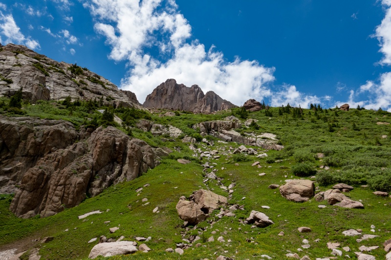
My goal for this trip was to get Pigeon, Turret and Jupiter. Storms were predicted the next day in the afternoon, and I wanted to have a rest day after my long hike in, so decided to hit Jupiter Friday morning.
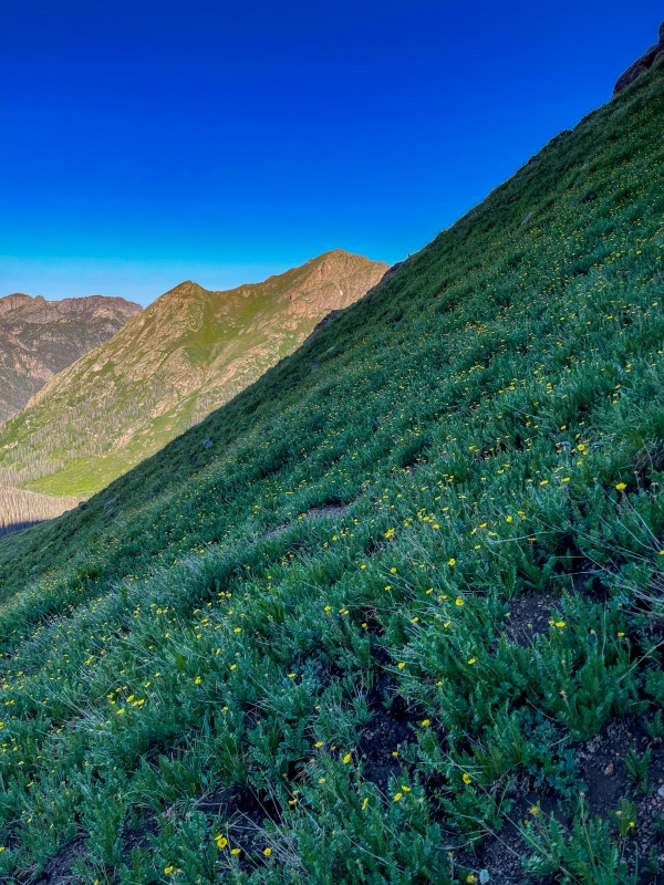
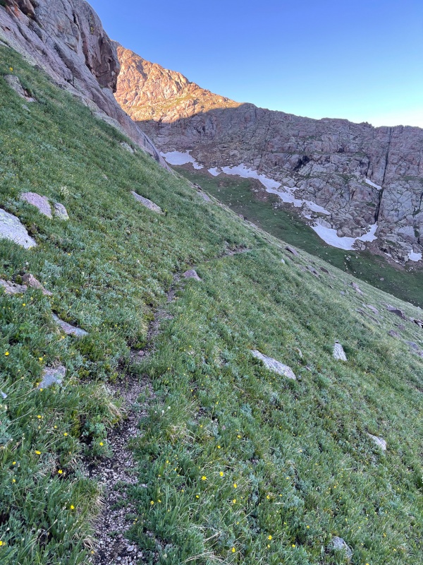
Lots of wildflowers en route to Jupiter.
Jupiter was quick, easy and fun. Made summit in just over 2 hours, hung out on top for a few hours the weather was so nice, and Jupiter has a perfect summit stone for lounging. Had the whole mountain to myself, it was great.
From Jupiter's summit looking towards Sunlight and Windom.
Got back down to camp and spent the afternoon relaxing. Storms came and went, but nothing severe. Went to bed early Friday night as I had a 2am wakeup call and a long day planned to attempt Pigeon and Turret.
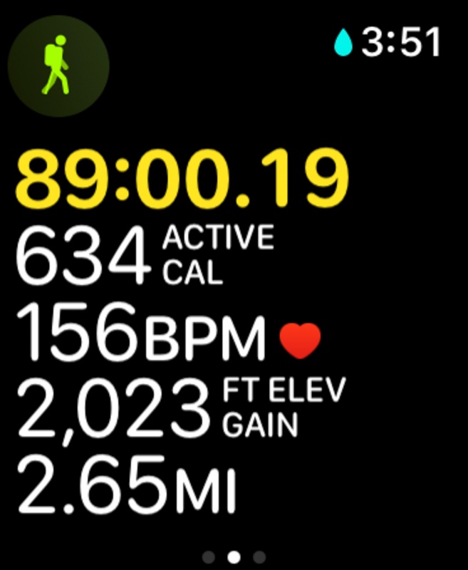
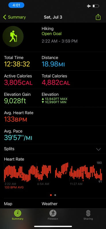
Saturday morning I was on the trail at 2:22 armed with a headlamp, camera, filter bottle, ice axe and microspikes. Was hoping I wouldn't need the last 2 items, but there hadn't been much beta on Twin Thumbs pass so I assumed there could be snow on its north side.
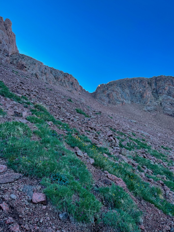
Reached the top of Twin Thumbs in 89 minutes flat.
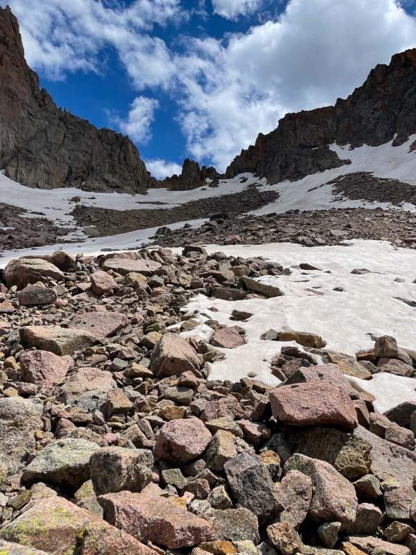
When I started down the back side of Twin Thumbs just before 4am, all I could see was snow. Lots of snow. It wasn't hard, nor was it so deep/soft I was postholing. Initially I started down it without spikes or ice axe, but as I made my way west, it got a little steeper and harder. I ended up using my ice axe for security on a few slopes, but didn't utilize microspikes. Being over prepared FTW.
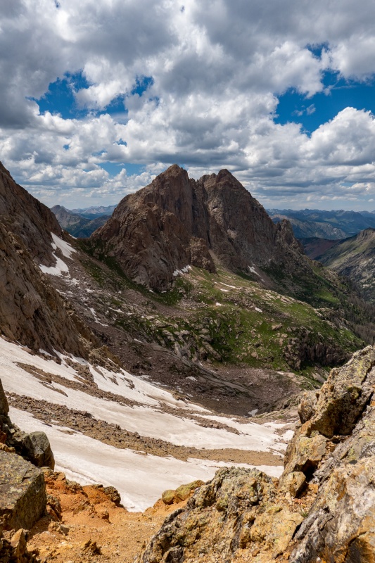
From the top of Twin Thumbs looking north (taken on return).
Along the route west of Twin Thumbs (taken on return).
Looking back at Twin Thumbs. I was able to get around most of the snow on return by dropping a bit lower. (pic taken on return).
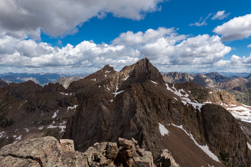
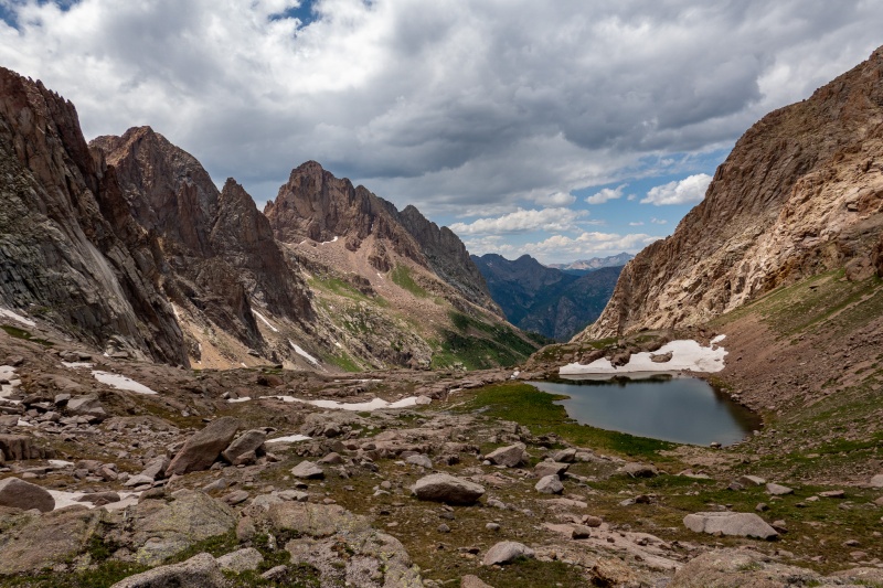
Turret and Pigeon from Ruby Pass.
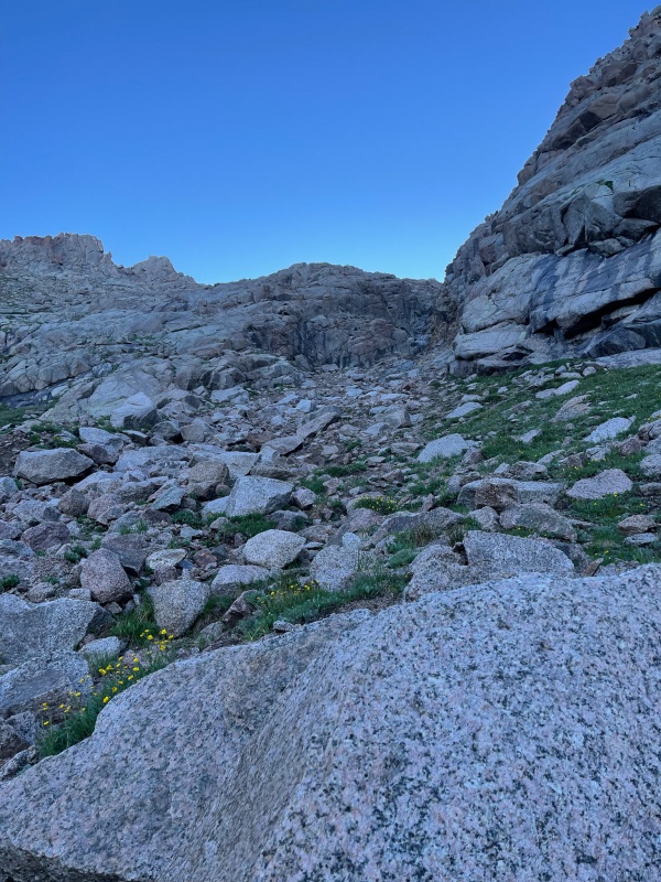
After getting past the snow it wasn't difficult terrain, but on this route I was constantly ascending or descending. You go up Twin Thumbs, down Twin Thumbs, up Ruby pass, down Ruby Pass, then up the Pigeon/Turret saddle, then down the Pigeon/Turret saddle while circling Pigeon.
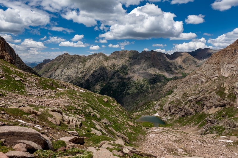
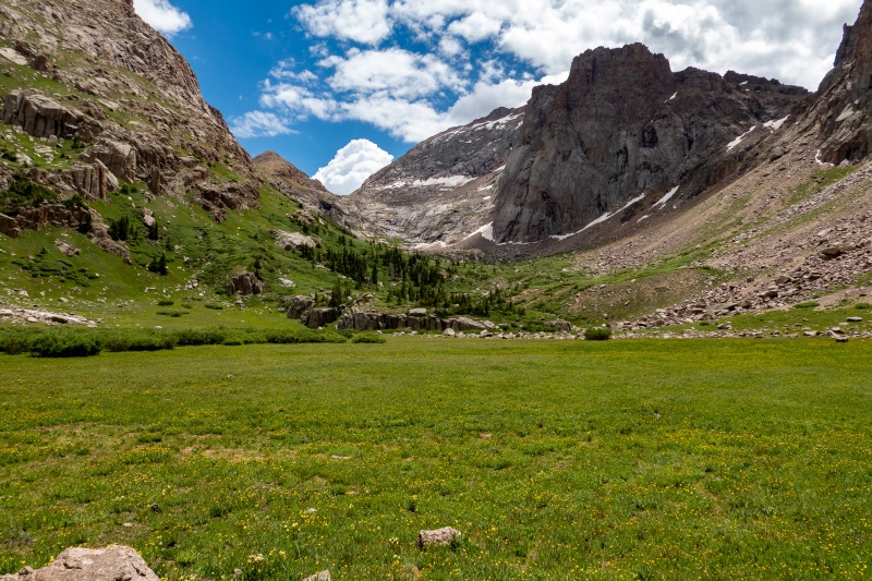
The one brief break from ascending/descending is this beautiful meadow. Looking towards Ruby pass.
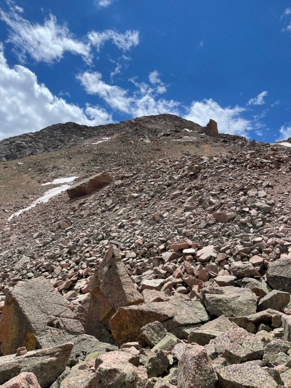
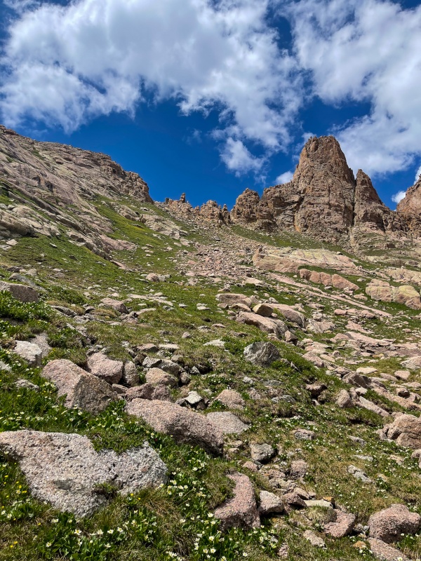
Short section of willows at the start of ascending Pigeon/Turret saddle. It wasn't too bad, as far as willow fighting goes.
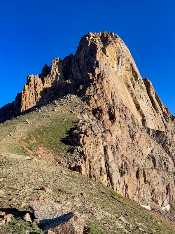
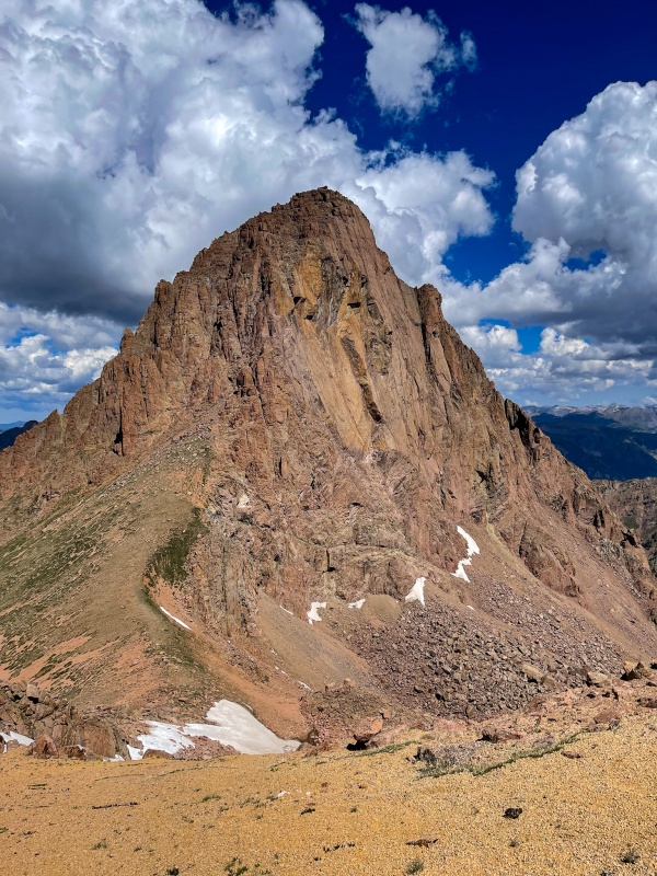
Pigeon Peak.
I reached the saddle between Pigeon/Turret around 7am. skies were clear and weather was great. Started the circle descent to get to the other side of the mountain.
I was surprised to see a faint trail on Pigeon.
Time to start up again.
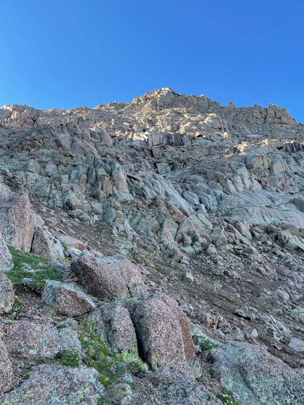
Looking at the beginning of the fun part of Pigeon.
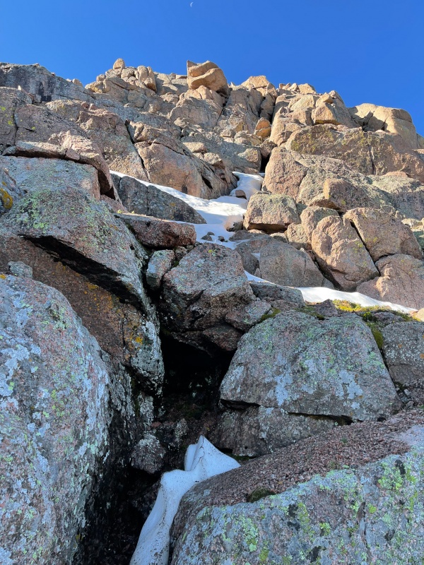
Near the top, some fun class 4 work. Just a little snow to get around, wasn't difficult.
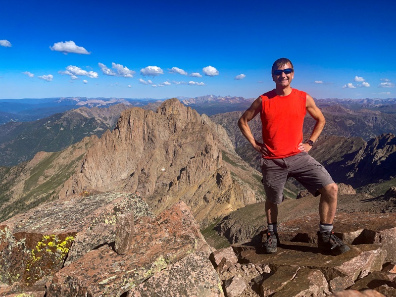
Made it to summit of Pigeon at 8:47 am. it was warm, calm and not a cloud in the sky. I even had pretty strong 5G cell signal.
From Pigeon's summit looking north.
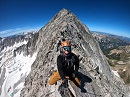
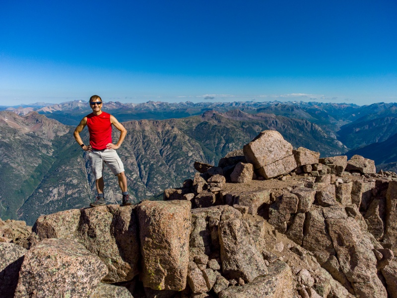
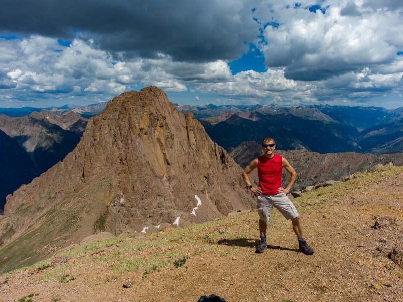
Wow, who's that great looking guy! He looks like he lifts!
Retraced my steps back to the saddle and looked off to the west, saw some clouds, a few of which were a little dark. They didn't look like storm clouds, and forecast didn't call for any storm activity, but I was slightly worried. Planted my ice axe to have less exposure should lightning be an issue (no idea if that's actually a help, but it made me feel better) and bolted up Turret.
Starting up Turret. Its mostly a class 2 walkup.
From partway up Turret. Pigeon looks so cool.
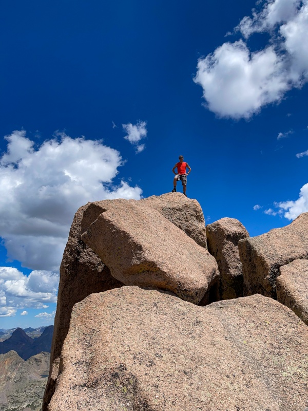
Top of Turret.
Felt like about 25 minutes to summit Turret, I was bookin'. Didn't stay long, there was one cloud that gave me a little worry.
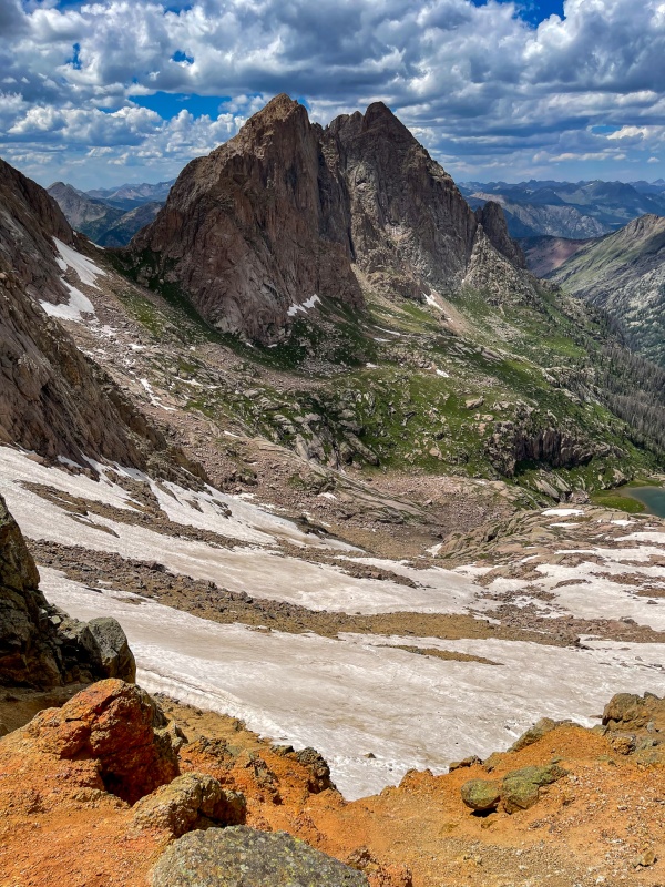
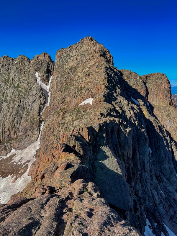
Arrow and Vestal from top of Turret.
Rushed down from Turret, got a little bit off route. Wouldn't have been much of a deal, but my ice axe was plunged into the earth further back. Fortunately I had a GPS marker in my phone to aid in finding it.
The return to Twin Thumbs went great, weather never arrived, and I could see what I missed in the darkness of morning.
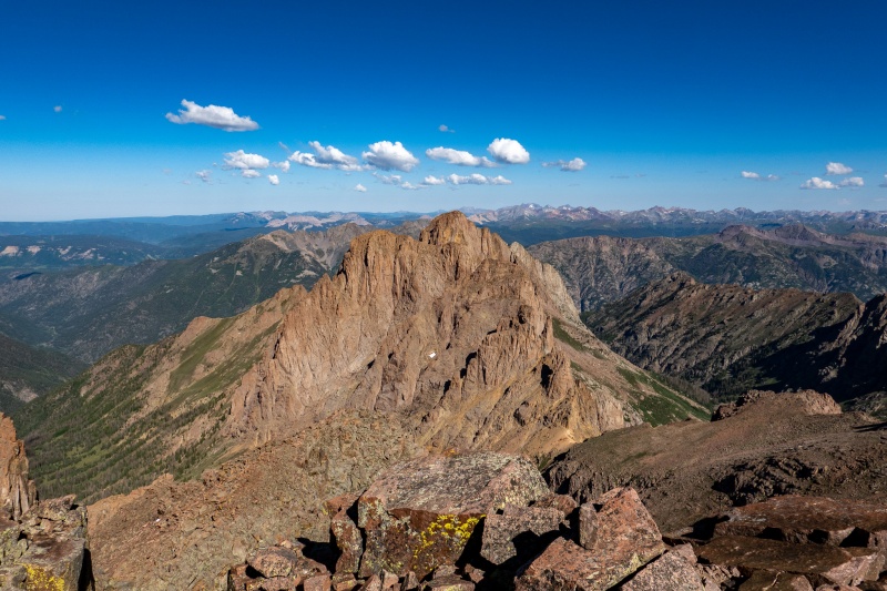
From partway down the Pigeon/Turret saddle looking towards Ruby pass.
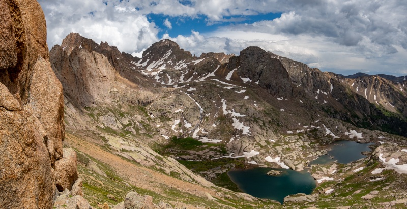
From Ruby pass. Turret Peak, Turret Spires, Pigeon Peak. My favorite shot of the weekend.
Back at Twin Thumbs, now that I could see, nearly all of the snow was avoidable by dropping a bit lower.
Top of Twin Thumbs looking down the north side.
From top of Twin Thumbs looking southeast. Sunlight, Windom, Jupiter and Twin Lakes.
Bottom of Twin Thumbs pass on the Twin Lakes side.
Made it back to camp thoroughly fulfilled, excited, and not quite as tired as I should have been.
Apple says 19 miles and 9,000' of vert for the day.
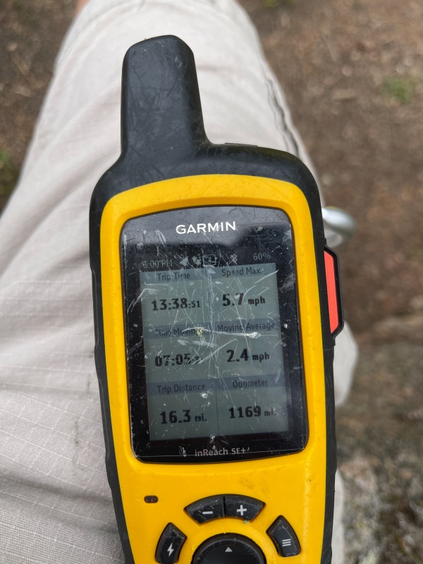
Garmin says 16.3 miles, which is probably closer to the truth. A big fat awesome day that I won't soon forget.
I had given myself one more day before needing to get back home, so Sunday I did the clockwise rotation on the 4 14'ers. They're fun peaks to repeat. Didn't take many pictures.
I did the ridge direct route to Eolus' summit.
Looking at my prizes from Saturday.
I was surprised to have Eolus, Pretend Eolus and Sunlight summits to myself. Shared Windom with one other person.
Sunlight.
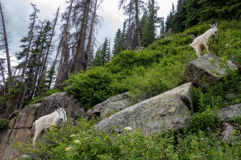
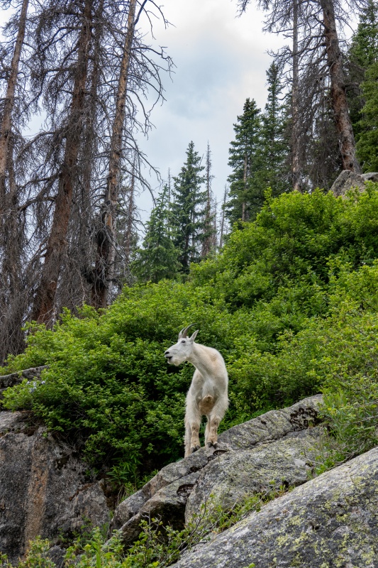
I was surpised that I hadn't seen many goats Friday and Saturday, but they were all over on Sunday afternoon coming down from Twin Lakes.
Monday morning I woke up early, packed up and headed down the mountain with just a little sadness, it had been such a great weekend.
On the way back
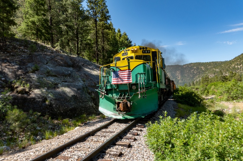
Crossed the tracks just before the train passed by. Too bad it wasn't the steam engine.
Made it back to the car faster than I expected.
Made it back to the car earlier than expected for the long drive home. It was a fantastic weekend in one of my favorite places to be. I'll be back. Thanks for reading.
Thumbnails for uploaded photos (click to open slideshow):
Thanks for posting. Beautiful pictures, very solid work out there! Congratulations on the exciting trip. We are planning to do the Chicago basin hike from Purgatory next week. How was the parking at Purgatory, easy to get a spot?
It was nearly empty when I got there on Thursday morning, nearly full when I left Monday around noon. There were a lot of people on the first part of the trail when I got back, mostly people doing short day hikes.
Yes, I am afraid when we get there Sat late afternoon, there is still going to be lots of day-hikers. Oh' well. I want to split the long haul into two days. I did the basin 14ers a while back with my daughter, but we took the train back then. One of my favorite places on Earth. Did you see good camp spots along Animas river?
How did the effort and misery of the Twin Thumbs approach to Ruby Basin compare to the standard Ruby Lake approach? One report mentioned nasty and dangerous kitty litter near the top of Twin Thumbs, but three others just mention the up and down as a negative. Thanks!
I’ve actually never done the Ruby approach. I don’t mind the Twin Thumbs pass, been up/down it a few times. It’s loose, but short.
Caution: The information contained in this report may not be accurate and should not be the only resource used in preparation for your climb. Failure to have the necessary experience, physical conditioning, supplies or equipment can result in injury or death. 14ers.com and the author(s) of this report provide no warranties, either express or implied, that the information provided is accurate or reliable. By using the information provided, you agree to indemnify and hold harmless 14ers.com and the report author(s) with respect to any claims and demands against them, including any attorney fees and expenses. Please read the 14ers.com Safety and Disclaimer pages for more information.
Please respect private property: 14ers.com supports the rights of private landowners to determine how and by whom their land will be used. In Colorado, it is your responsibility to determine if land is private and to obtain the appropriate permission before entering the property.
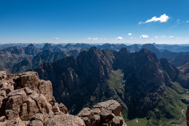
 Arrow and Vestal from top of Turret.
 From partway down the Pigeon/Turret saddle looking towards Ruby pass.
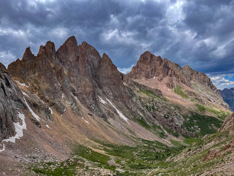
")
")
")
")
")
")
")
")
")
")
")
")
")
")
")
")
")
")
")
")
")
")
")
")
")
")
")
")
")
")
")
")
")
")
")
")
")
")
")
")
")
")
")
")
")
")
")
")
")