Download Agreement, Release, and Acknowledgement of Risk:
You (the person requesting this file download) fully understand mountain climbing ("Activity") involves risks and dangers of serious bodily injury, including permanent disability, paralysis, and death ("Risks") and you fully accept and assume all such risks and all responsibility for losses, costs, and damages you incur as a result of your participation in this Activity.
You acknowledge that information in the file you have chosen to download may not be accurate and may contain errors. You agree to assume all risks when using this information and agree to release and discharge 14ers.com, 14ers Inc. and the author(s) of such information (collectively, the "Released Parties").
You hereby discharge the Released Parties from all damages, actions, claims and liabilities of any nature, specifically including, but not limited to, damages, actions, claims and liabilities arising from or related to the negligence of the Released Parties. You further agree to indemnify, hold harmless and defend 14ers.com, 14ers Inc. and each of the other Released Parties from and against any loss, damage, liability and expense, including costs and attorney fees, incurred by 14ers.com, 14ers Inc. or any of the other Released Parties as a result of you using information provided on the 14ers.com or 14ers Inc. websites.
You have read this agreement, fully understand its terms and intend it to be a complete and unconditional release of all liability to the greatest extent allowed by law and agree that if any portion of this agreement is held to be invalid the balance, notwithstanding, shall continue in full force and effect.
By clicking "OK" you agree to these terms. If you DO NOT agree, click "Cancel"...
Ok - this one warrants Trip Report status to note: A) the unique late day attack plan - very intentional - and B) the unique return route?
Yes I have actually noted this area before re: Parnassus - coming at this area from north is just amazing to me.
But coming up on the 4th - the day with the best forecast of the weekend - I had been up listening to the Oysterhead webcast and also had nothing but time for that 4th. So rather than get there sort of late - and see some clouds higher up that would scare me down - I just set the whole plan around arriving late - and playing cat and mouse with whatever weather there was!
But all the chips fell in my favor as it was. I kept a steady watch because starting off a storm was passing over Berthoud Pass - but moving quick. And every other cloud that afternoon - despite forming up a bit - didn't press in.
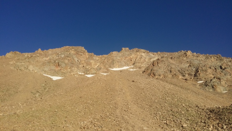
But I did hit up that Bard angle weird - because I ended up on the very steepest shoulder - coming up like 70degree slope or something.
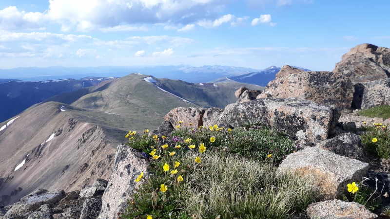
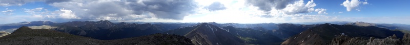
Summit
Summit West Parnassus looks like the portal to heaven!
So yes - thinking I was clever - on the way up I spotted some kind of weather old rock slide/goat path - and just for kicks I jumped in!
Is this a thing?
Part of me was thinking - 'this is a thing other people do when here - a shortcut back'
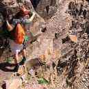
At bottom of slide looking up
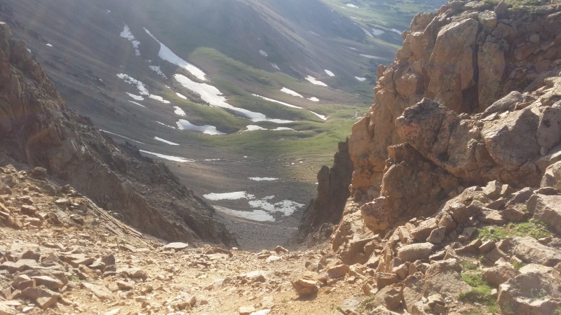
It is debatable whether it was a shortcut at all. and was quite difficult at times. most of the top 3rd was OK - rock surfing
but the low end grew progressively steeper actually. and I was tired from the before mentioned webcast and that steep slope bustup too.
there were weirdly different sections of the slide too - like a real life video game with progressively difficult levels. at one point I just had to give in to my unconcious - I decided I would "Neo-like" just Matrix my way down the mtn.
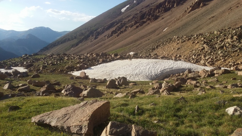
But the slide path did lead to a place I now call 'the Alaksan Highlands'
That's slide path center - thru the rocks ledge up higher. And Bard is Center too.
Yes - started at 2:45 - landed at 8:20 - and then proceeded to Summit County along empty highways - it was beautiful.
finish line
But what's the deal? Tell me I wasn't the first one dumb enough to do that return move - right? That upper highland area was actually very nice - so it did work out beautifully more or less as loop route.
Thumbnails for uploaded photos (click to open slideshow):
But interested in your ascent route - did you go up Robeson on the way up? I took the Robeson ridge to get Englemann a few weeks ago and it was awesome. I found Englemann's 4th gully on the descent actually wasnt too bad.
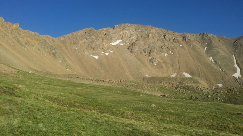
Yes this should tell the tale - Purple Up and Green that down 'path'
on the way up - I meant to hit shoulder more to the left there - like I said that was not a good way up. but at the time I was busier scanning clouds than thinking about optimal way up.
But the return was nice because I had stashed water there and I managed to return to that exact spot on the way back without having to look around for my area.
Caution: The information contained in this report may not be accurate and should not be the only resource used in preparation for your climb. Failure to have the necessary experience, physical conditioning, supplies or equipment can result in injury or death. 14ers.com and the author(s) of this report provide no warranties, either express or implied, that the information provided is accurate or reliable. By using the information provided, you agree to indemnify and hold harmless 14ers.com and the report author(s) with respect to any claims and demands against them, including any attorney fees and expenses. Please read the 14ers.com Safety and Disclaimer pages for more information.
Please respect private property: 14ers.com supports the rights of private landowners to determine how and by whom their land will be used. In Colorado, it is your responsibility to determine if land is private and to obtain the appropriate permission before entering the property.
")
")
")
")
")
")
")
")
")