| Report Type | Full |
| Peak(s) |
Hahns Peak (10,839) |
| Date Posted | 06/28/2021 |
| Date Climbed | 06/26/2021 |
| Author | IntrepidXJ |
| Elkhead Mountains: Hahns Peak Fire Lookout |
|---|
|
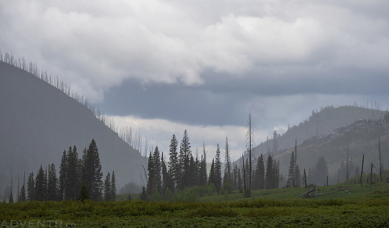
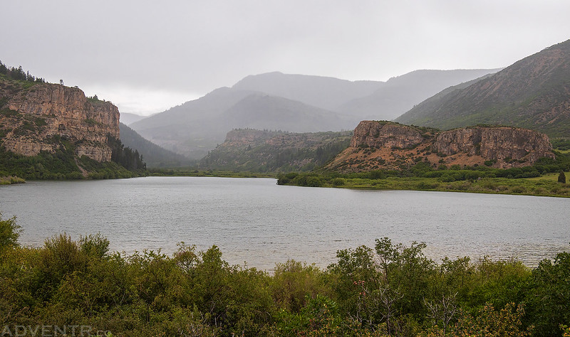
Friday – Saturday, June 25-26, 2021 After spending a night in the Jersey Jim Fire Lookout Tower almost two years ago, I thought it would be interesting and fun to try visiting at least one new fire lookout each summer. Last year Diane and I hiked to the Fairview Peak Fire Lookout, which is the highest fire lookout in North America, so this year I decided to check out the Hahns Peak Fire Lookout in the Elkhead Mountains north of Steamboat Springs. There is some confusion as to whether Hahns Peak belongs to the Sierra Madre or the Elkhead Mountains, but according to SummitPost and the book History of the Elkhead Mountains, Hahns Peak is the eastern-most point in the Elkhead Mountains. This is a part of Colorado I have never been to before, so I was looking forward to exploring new terrain! Diane was able to get away from schoolwork for a little bit and come with me this weekend, so I only worked for half a day on Friday and we left home shortly before noon. We drove through Meeker and Craig to Steamboat Springs and then headed north along the Elk River to the base of Hahns Peak to find a campsite for the night. According to the weather forecast, it was supposed to be a wet and stormy weekend all throughout the mountains of Colorado, but I hoped to squeeze in the hike Saturday morning before the rain started up again. It rained on and off during our drive, so our first view of Hahns Peak (10,839) was through the rain.
When we reached the lower trailhead the top of the mountain was hidden in clouds.
We continued up the road in search of a campsite and then sun came out for a little bit.
Along the Hahns Peak Road.
We found a campsite not far from the upper trailhead and set up the tent while it had stopped raining.
Shortly before sunset I walked back down the road to the lower trailhead and caught the fire lookout peeking out through the clouds as the sun briefly came out again.
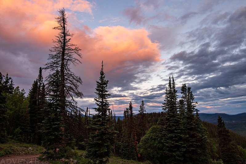
We went to bed early since we needed to get an early start on Saturday morning to try to beat the thunderstorms that were supposed to start around 9:00am. I actually slept pretty well overnight, but became a little worried when it started raining about an hour before my alarm went off at 4:45am. Thankfully, the rain stopped before we woke up, however after getting out of the tent and looking to the sky I wondered if it would be worth hiking to the summit today since the peak was engulfed by clouds. I didn’t really want to hike up there if I wouldn’t be able to see anything, but after pondering the sky and my options for a little bit I decided that we would take our chances and see what happened. It turned out to be an excellent choice! Shortly after we started hiking up the trail some of the clouds above turned a nice magenta color, which made me feel a little better about our choice to go up.
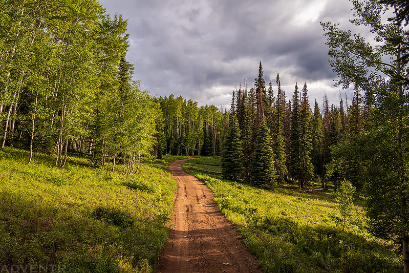
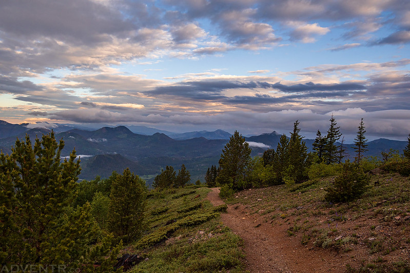
Hahns Peak Trail
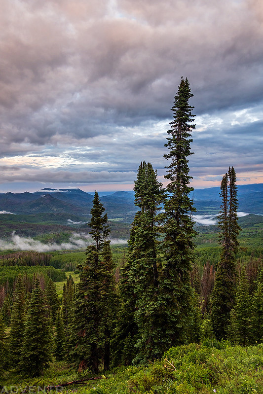
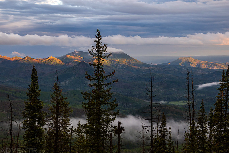
Morning clouds over the Independence Creek Valley
The sun started peeking out a little more as we got higher above the trees.
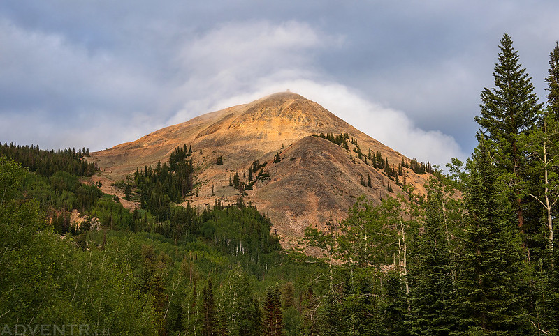
Shield Mountain & City Mountain
Diane has been having some bad headaches lately and at this point her head was already starting to bother her, so she decided to return to the Jeep while I continued up on my own.
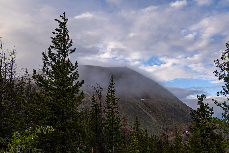
When I reached a switchback with my first view of Hahns Peak, I was happy to see that the fire lookout was visible through the clouds.
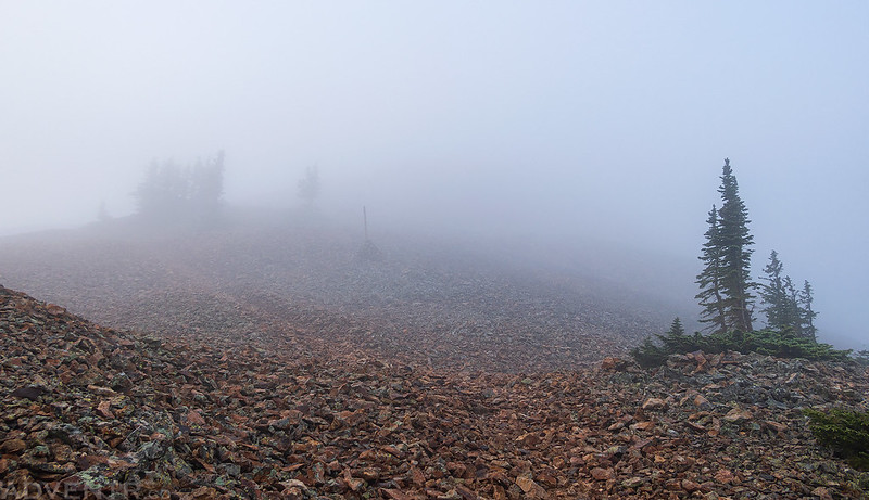
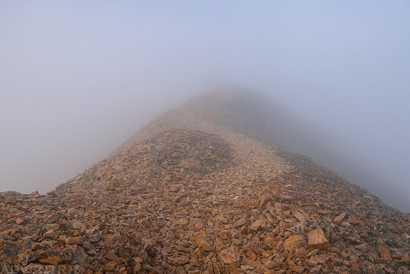
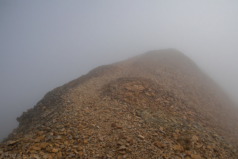
I entered the clouds as I ascended the ridge to the summit.
Into The Clouds
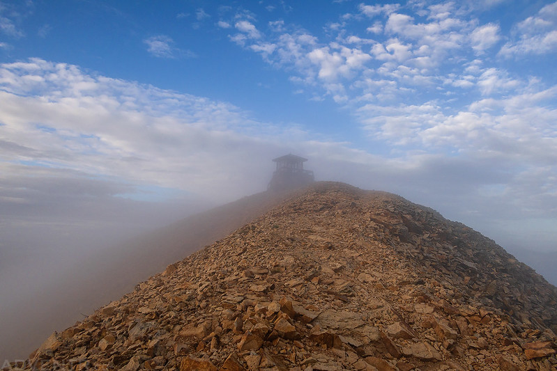
What’s that hidden in the clouds ahead?
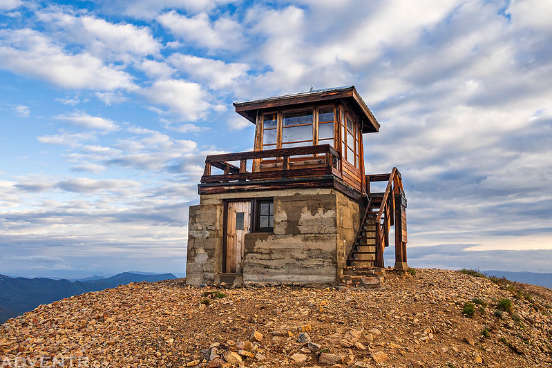
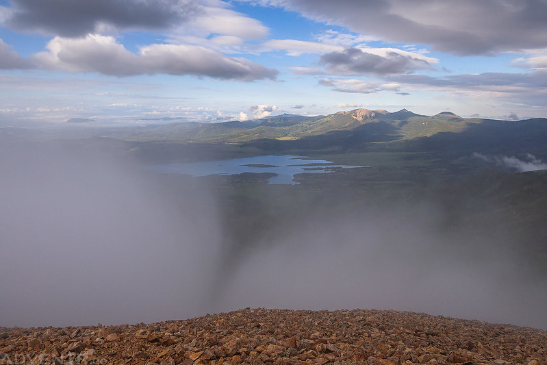
The clouds cleared out just as I reached the summit of Hahns Peak and the fire lookout! It was prefect timing and I had a great first impression!
Clouds continued to blow over the mountain behind me.
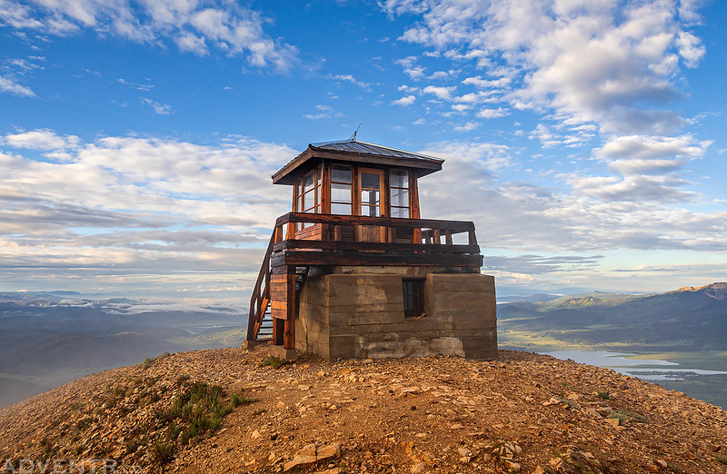
I walked up the stairs for a look around the old fire lookout.
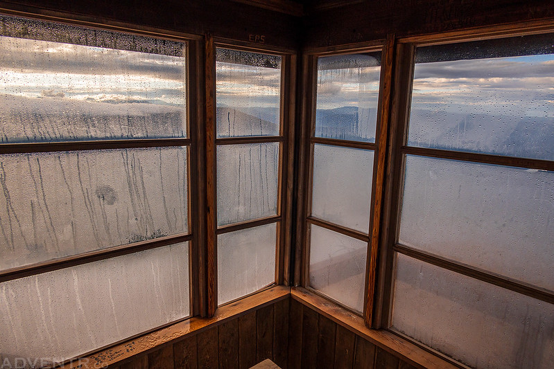
I couldn’t see much through the windows this morning…
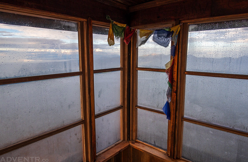
I walked around to the other side for a different view.
It was very windy and cold up on the summit, but I stuck around for over an hour as I watched the clouds roll in and out and swirl all around me. I used the fire lookout to block the wind when I wasn’t out taking photos. It was an amazing experience!
Trail In the Clouds
Between The Clouds
Through The Clouds
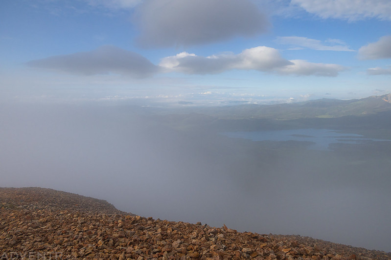
Steamboat Lake
At this point the sun started to come out and I thought I might be able to see another Brocken Spectre, but the sun never came out enough to cast my shadow on the clouds below.
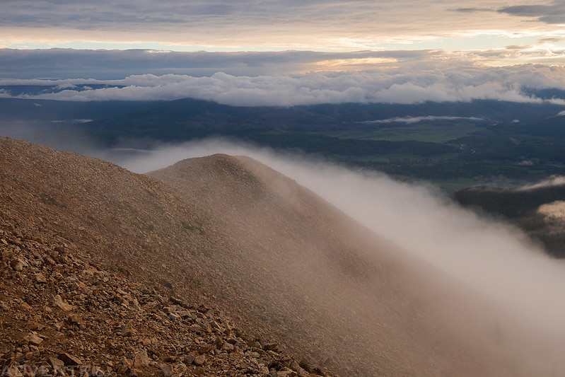
Once the clouds seemed to stick around and block the views, it was time for me to head back down.
Down The Ridge
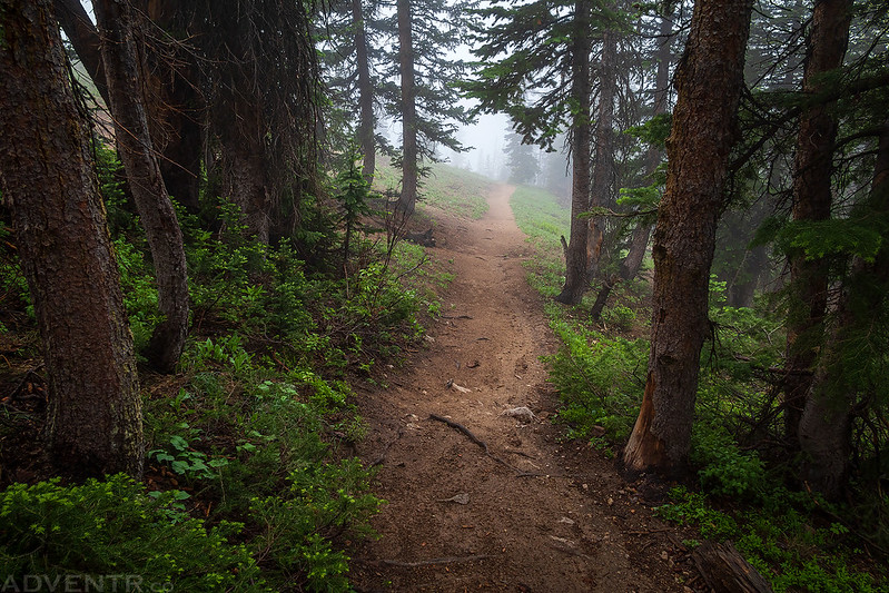
The hike through the clouds was eerie at times…
Foggy Trail
Forest Trail in the Clouds
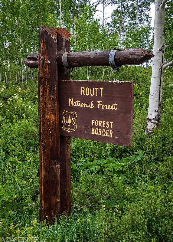
After I returned to the Jeep we went back and took down our tent while things were mostly still dry. I had hoped to get in some more hiking this weekend, but the weather forecast was not looking promising, so I thought we could at least drive to the summit of nearby Farwell Mountain. After driving through Hahns Peak Village, we re-entered the Routt National Forest.
This was our view of Farwell Mountain shortly before I decided to turn around because the roads in this area were muddier and slicker than I had expected.
There were a lot of wildflowers along the road, though.
Next, we returned to the Seedhouse Road and followed it along the Elk River to see if we could approach Farwell Mountain from the east side. After stopping to eat lunch along the way, we made it just past the Diamond Park Trailhead before the roads got muddy and slick again, so that’s where we turned around. I guess Farwell Mountain will have to wait for another day. It was a good thing we turned around there since it started to rain pretty hard during our drive back and continued for a while. Scott Run Rain
Crossing a bridge over the North Fork of the Elk River right next to the Continental Divide Trail.
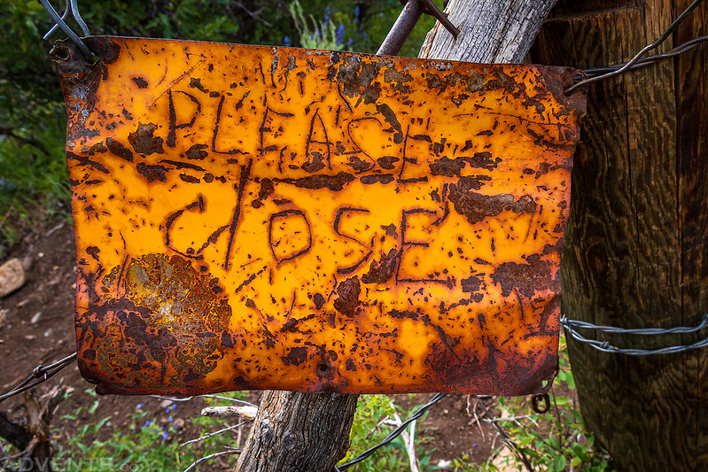
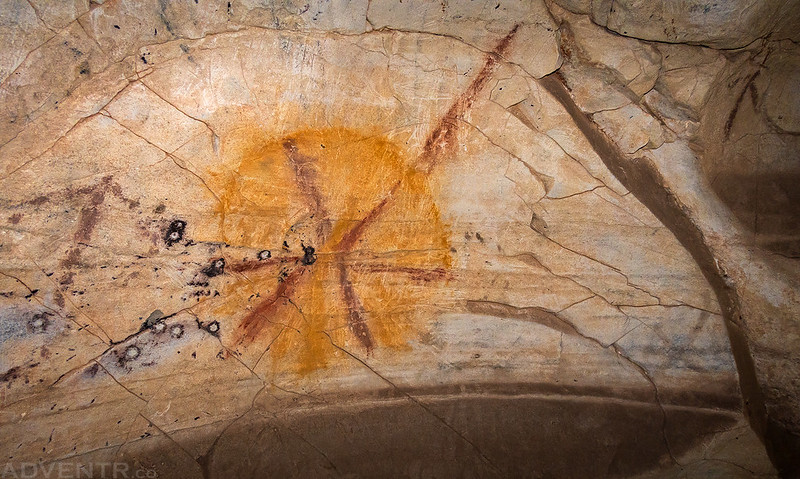
Sweetwater Ute Pictographs & The Long Detour HomeAt this point with the current weather forecast and Diane’s headache, we decided it would be best to head home this evening instead of sticking around for another day. On the way home I thought it would be a good idea to get in one more short hike to finally visit some Ute pictographs near Sweetwater Lake in the Flat Tops, but that would mean driving home through Glenwood Canyon. When I stopped to get gas in Steamboat Springs I checked the road conditions in Glenwood Canyon and everything checked out OK, so we decided to go for it. When we arrived at Sweetwater Lake it was raining and there were some rumbles of thunder, but our hike wasn’t going up high so we put on our rain jackets and headed out anyway.
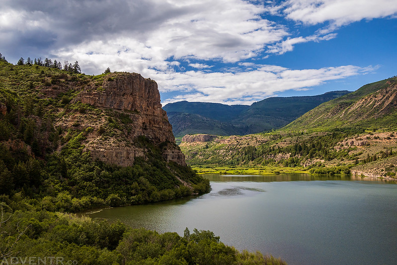
By the time we reached this overlook of Sweetwater Lake the rain had stopped and the sun was back out.
Please Close
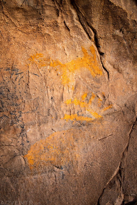
These yellow pictographs were found near the entrance of the cave which contains some Ute pictographs and plenty of other graffiti…
Red Pictograph
Yellow Circle Pictograph
Sweetwater Ute Pictographs
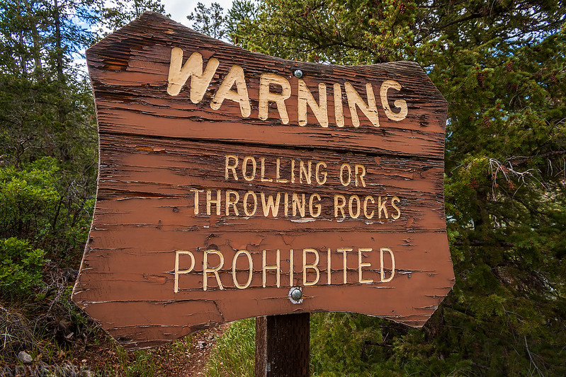
On our way back down from the cave we took a short spur trail to a different overlook and passed by this sign.
Sweetwater Lake Overlook
Things were going pretty well this weekend until now. After driving back down from Sweetwater Lake and making our way over to Dotsero we were prevented from getting onto I-70 because it had just been closed down thanks to a mudslide in Glenwood Canyon. They were expecting it to be an extended closure, so now we had to go back all the way around the long way to get home! If I had known this was going to happen, I would have skipped this short hike to the pictographs and gone straight back home through Craig and Meeker. Now we had to drive all the way back to Yampa and then take the gravel road over Dunckley Pass and Ripple Creek Pass over to Meeker. Although this route is definitely shorter than the paved highway through Craig, I don’t think it saved us any time, but the views were definitely nicer along the way. Well, at least we saw a rainbow as we drove over Five Pine Mesa…
After crossing over Dunckley Pass we had a good view of the Lost Lakes Peaks in the clouds.
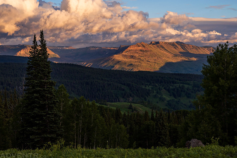
I spent an evening last weekend at the Ripple Creek Overlook, but since we were passing by at sunset we stopped to stretch out our legs and take in the views of The Flat Tops.
Ripple Creek Overlook
Eventually we reached Meeker and followed the highways back home. I had planned to fill up with gas in Rifle, but when we arrived we found that all the gas stations were out of gas thanks the the closure on I-70 and detour traffic being routed through the town. Luckily, I had just enough fuel to get us to Parachute to fill up. We didn’t make it home until just before midnight and I was exhausted, so I took a quick shower and went right to bed. >> Hahns Peak Fire Lookout Photo Gallery |
| Comments or Questions | |||||||||
|---|---|---|---|---|---|---|---|---|---|
|
Caution: The information contained in this report may not be accurate and should not be the only resource used in preparation for your climb. Failure to have the necessary experience, physical conditioning, supplies or equipment can result in injury or death. 14ers.com and the author(s) of this report provide no warranties, either express or implied, that the information provided is accurate or reliable. By using the information provided, you agree to indemnify and hold harmless 14ers.com and the report author(s) with respect to any claims and demands against them, including any attorney fees and expenses. Please read the 14ers.com Safety and Disclaimer pages for more information.
Please respect private property: 14ers.com supports the rights of private landowners to determine how and by whom their land will be used. In Colorado, it is your responsibility to determine if land is private and to obtain the appropriate permission before entering the property.