Download Agreement, Release, and Acknowledgement of Risk:
You (the person requesting this file download) fully understand mountain climbing ("Activity") involves risks and dangers of serious bodily injury, including permanent disability, paralysis, and death ("Risks") and you fully accept and assume all such risks and all responsibility for losses, costs, and damages you incur as a result of your participation in this Activity.
You acknowledge that information in the file you have chosen to download may not be accurate and may contain errors. You agree to assume all risks when using this information and agree to release and discharge 14ers.com, 14ers Inc. and the author(s) of such information (collectively, the "Released Parties").
You hereby discharge the Released Parties from all damages, actions, claims and liabilities of any nature, specifically including, but not limited to, damages, actions, claims and liabilities arising from or related to the negligence of the Released Parties. You further agree to indemnify, hold harmless and defend 14ers.com, 14ers Inc. and each of the other Released Parties from and against any loss, damage, liability and expense, including costs and attorney fees, incurred by 14ers.com, 14ers Inc. or any of the other Released Parties as a result of you using information provided on the 14ers.com or 14ers Inc. websites.
You have read this agreement, fully understand its terms and intend it to be a complete and unconditional release of all liability to the greatest extent allowed by law and agree that if any portion of this agreement is held to be invalid the balance, notwithstanding, shall continue in full force and effect.
By clicking "OK" you agree to these terms. If you DO NOT agree, click "Cancel"...
Back in 2018, I did Ripsaw from C over to F and came within one false summit and 50 vertical feet of G before weather shut the party down. So I've been itching to get back since. I have seen several TRs for the Ripsaw and the Saw, but only a couple for the approach to G from Upper Piney.
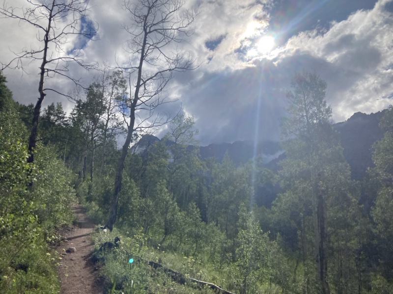
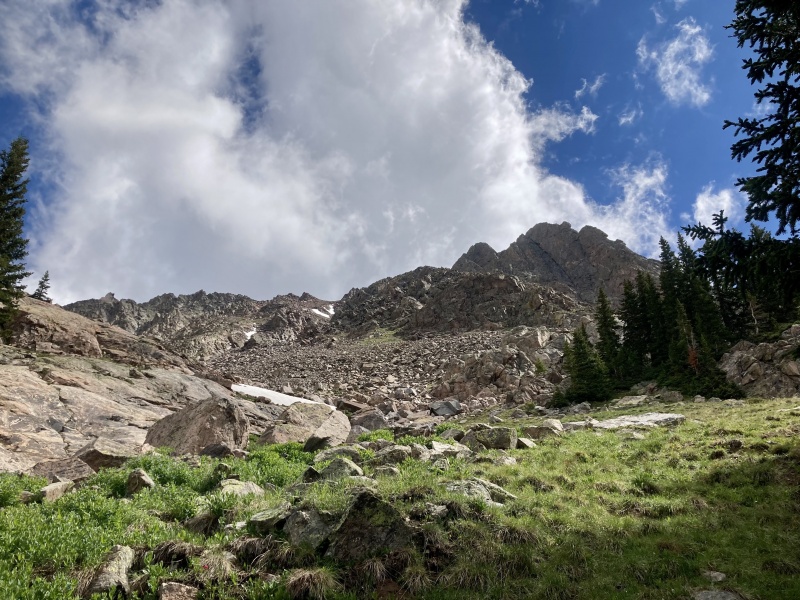
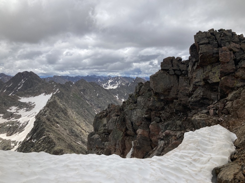
Moody morning approachUpper Piney Creek
One would think if you can descend off G or H and hit the overgrown, deadfall ridden, perpetually flooded Upper Piney trail, that doing the opposite would be just as easy. But it really isn't. I overshot the nonexistent turnoff for the G couloir and ascended further into the riparian suckfest before realizing I was closer to H than G. But with a little bit of bushwhacking I lucked out and found a lovely old slide path in between G and H's main drainage gullies enabling an easy climb to treeline and choice of couloir to ascend.
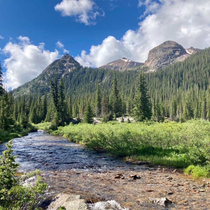
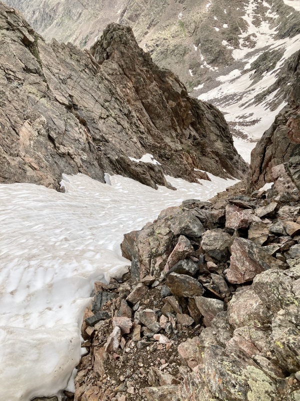
Old slide pathLooking down the slide gully I lucked out on.
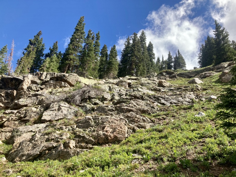
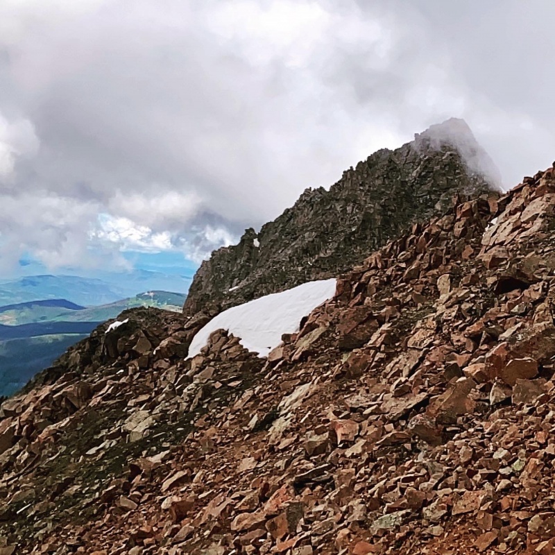
I veered climber's left and picked up the same coolie I had run, slid and tripped my way down 3 years prior. It's a fairly straightforward climb if a bit loose. Instead of gaining the saddle between F & G I avoided some late season snow with a more direct (see: fun) line to the saddle between G's northern false summit and the true summit. It went at 3rd cl without much exposure. The route up G wasn't so obvious from the north, so I traversed west and picked up a gully that had a few tricky 3rd class moves to gain the summit.
Below G, before entering the gully climber's leftPeak G's shrouded false summitGaining G's summit
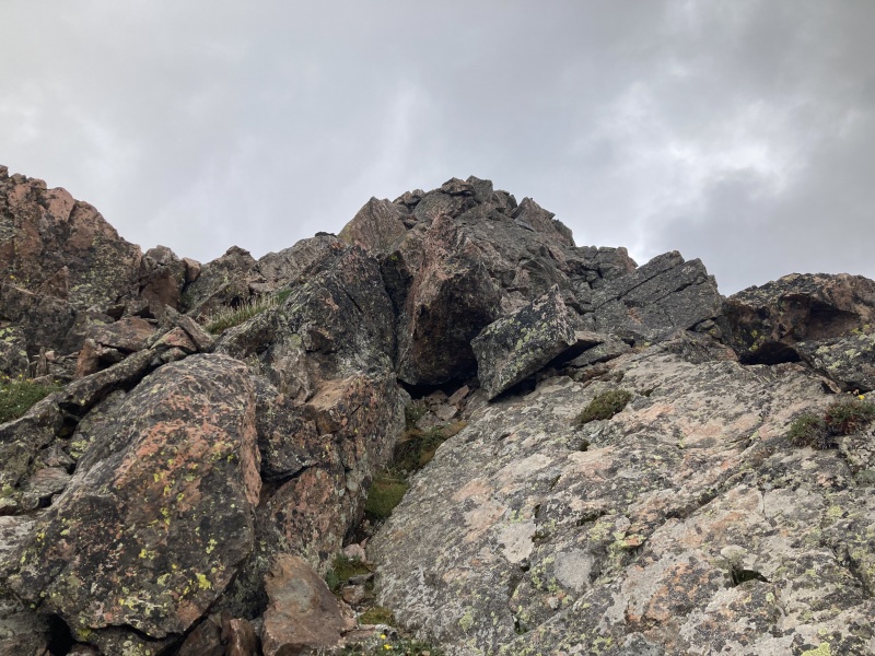
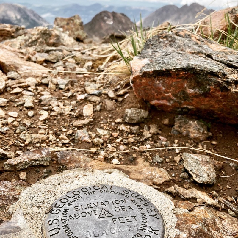
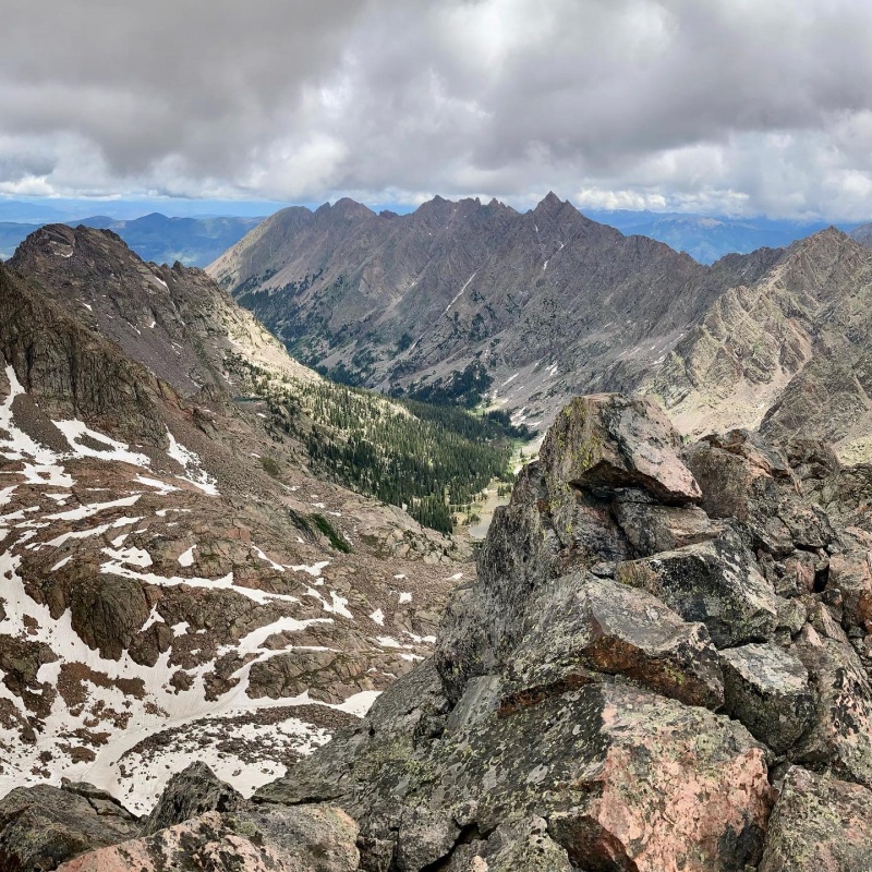
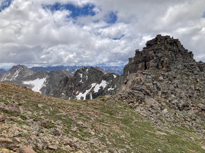
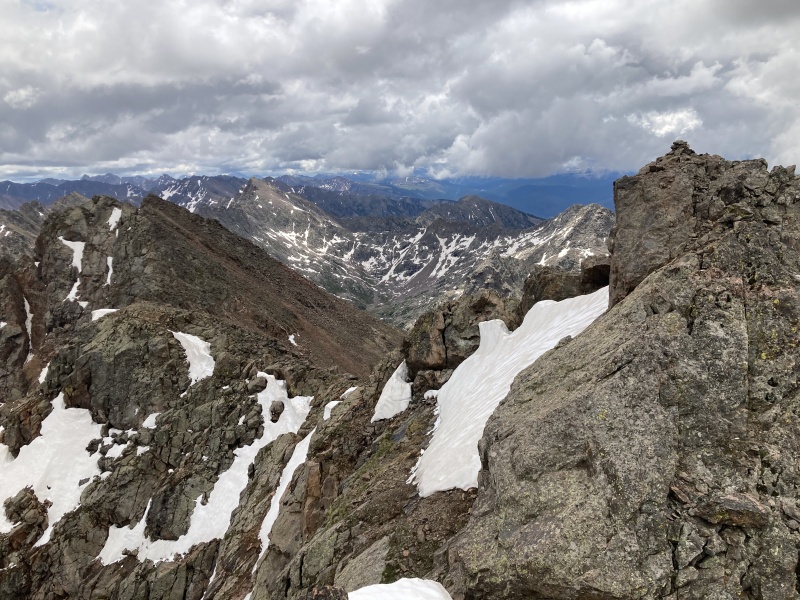
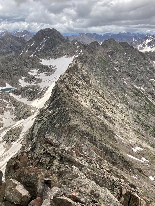
Looking south at Black BM and H, H is obvious but which of the many blocky gendarmes actually holds the benchmark is indecipherable. So I just climbed them all until I found it. It's an enjoyable 3rd class ridge run. The descent off the south of Black BM actually has an easily followable trail toward H. Sticking to the ridge quickly landed me atop a false summit to the left of Straight Arrow. I backed off it, skipped across the back edge of the cornice, and scrambled up to the true summit.
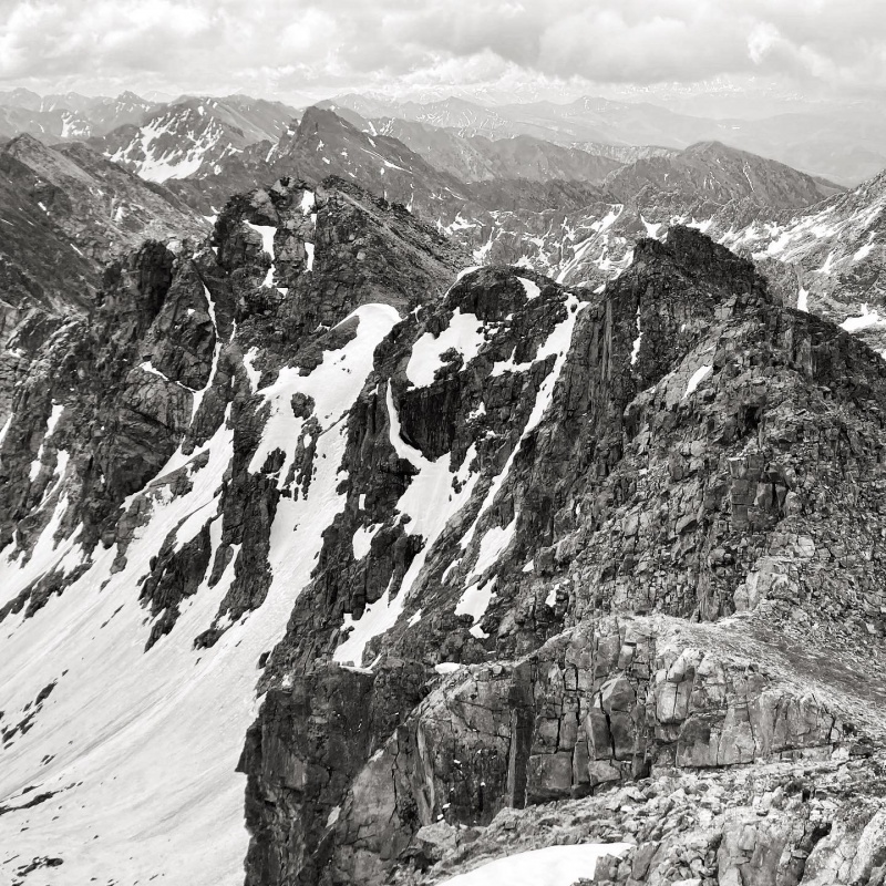
Black and H from GArbitrary BenchmarkPeak I left, KLMNO Ridge from Black BMFirst gendarme on the traverse to Black BM. Easily skirted to the right but fun to climb.The Black BM cairn visible along the traverse, H and the descent gully back left
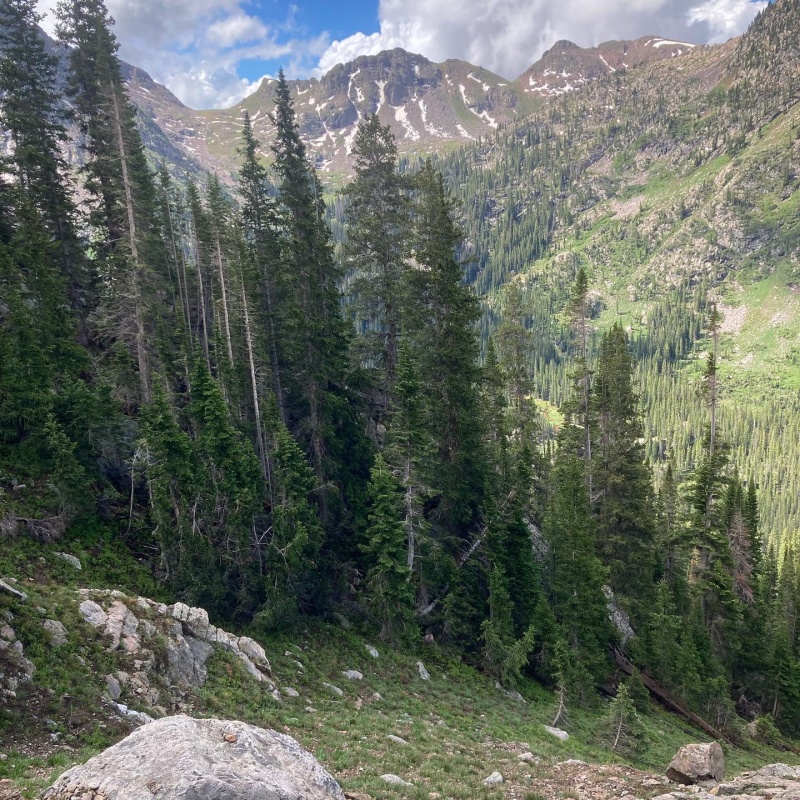
I lounged around atop H for awhile on this cool windless day. The dark clouds were on their best behavior. Eventually, I peeled myself up, surveyed the Straight Arrow entrance once more and started down west in the broad gully that gradually narrows into a roaring creek draining into Upper Piney. I opted to avoid the loose talus as much as possible by scree surfing between sporadic grass and boulders. Some of the deeper, narrower sections of the gully were bowling alleys best avoided. It took me over an hour to fully descend the gully back down to the Upper Piney "trail". Once below tree line I encountered more cliffs and deadfall than I had on the ascent. Seems unavoidable unless you luck out.
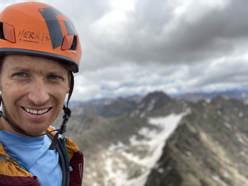
Top of Straight Arrow, summit of H behindPer GoreGalore: Straight Arrow CouloirThe Saw with J in the distance. P in the back left?Hiiiiiiiii!
Ran back out the way I came, passing dozens of tourists in the last 3 miles along lower Piney. In summary: Peak G - 3rd cl+, Black BM - 3rd, Peak H - 2nd. Nice solo jaunt in the backyard.
Thumbnails for uploaded photos (click to open slideshow):
... in plain sight Mtnman200. I find it's always worth the bush whackage.
Caution: The information contained in this report may not be accurate and should not be the only resource used in preparation for your climb. Failure to have the necessary experience, physical conditioning, supplies or equipment can result in injury or death. 14ers.com and the author(s) of this report provide no warranties, either express or implied, that the information provided is accurate or reliable. By using the information provided, you agree to indemnify and hold harmless 14ers.com and the report author(s) with respect to any claims and demands against them, including any attorney fees and expenses. Please read the 14ers.com Safety and Disclaimer pages for more information.
Please respect private property: 14ers.com supports the rights of private landowners to determine how and by whom their land will be used. In Colorado, it is your responsibility to determine if land is private and to obtain the appropriate permission before entering the property.
")
")
")
")
")
")
")
")
")
")
")
")
")
")
")
")
")
")


