| Report Type | Full |
| Peak(s) |
Jenkins Mountain - 13,440 feet Unnamed 13145 - 13,145 feet Grizzly Peak - 13,309 feet PT 12,750 PT 12,934 PT 12,934 "Lake Fork Peak" - 13,333 feet |
| Date Posted | 04/10/2019 |
| Modified | 04/13/2022 |
| Date Climbed | 04/10/2019 |
| Author | Easy Rider |
| Primitive Travel |
|---|
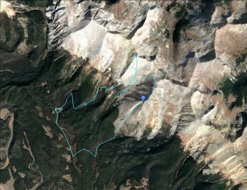
Primitive Travel2019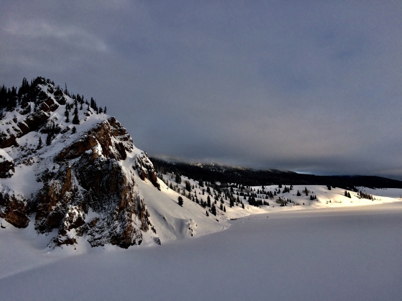
Trailhead: Taylor Park Marina
Distance: 60 miles
Duration: 9 days
Rating: Moderate Snow/Class 3
Peaks: 7 descents/ 6 peaks


Day 1
 April 2, Clearing storms, fog, cold temps and sunny skies
Departure
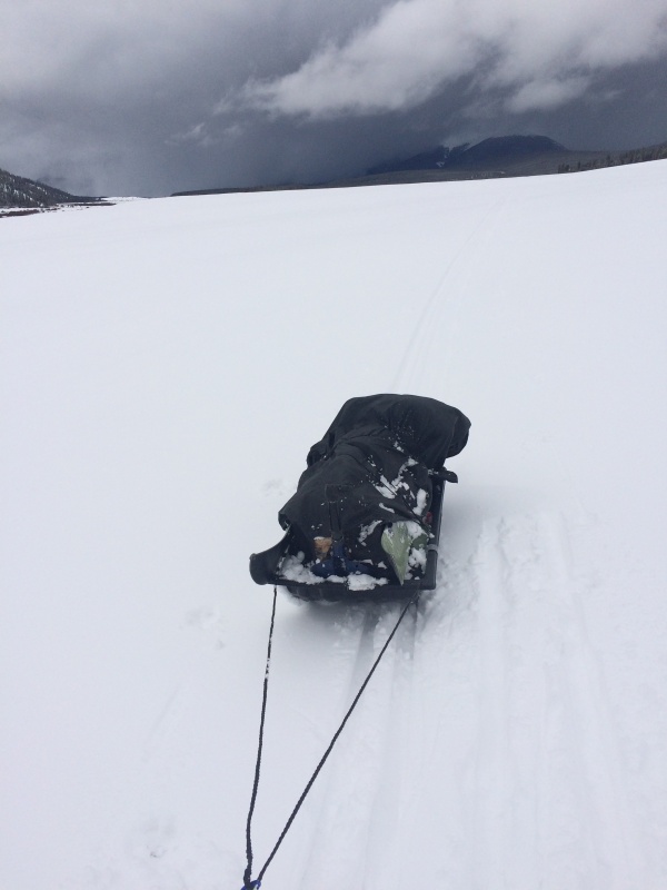
Launch time from the Marina was at mid-day on nordic skis pulling a small ice fishing sled loaded with goodies and gear. A pair of ice picks dangled from my shoulders. Fast steady gliding over snow-covered ice brought my little ship across the heart of Taylor Park.

The 2019 season was a special one. It was still far from over, but snow was setting up better after the equinox, and time to set the sights a little higher. Out yonder, stands a long row of mountains extending from the Sawatch in the east, to meet the Elks. These peaks are more easily accessed from the north by Indy Pass, and with the northerly aspects facing that way for more common snow coverage, it makes more sense to approach them that way. But, this southern escarpment is the view that I’ve always been familiar with, and was the challenge that presented itself. Coverage actually looked good up there by the spring of 2019.
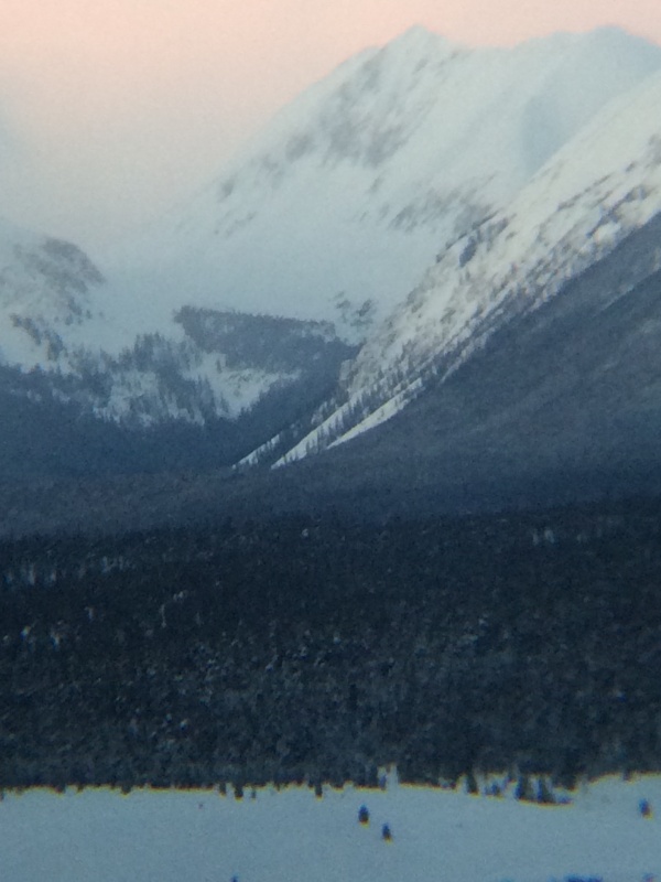
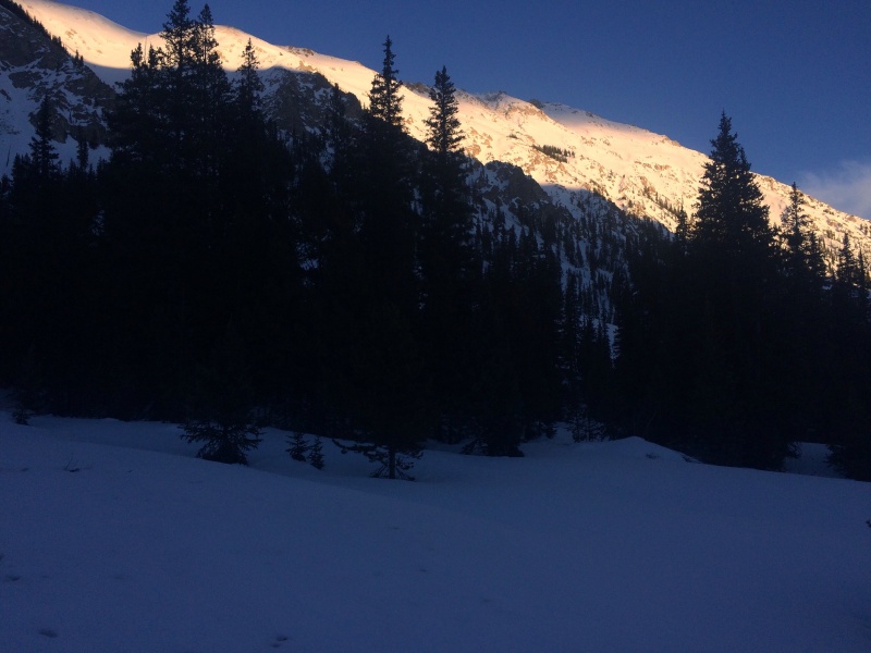
Another thing that year was deeper snow coverage in the valley floors. Usually there is not quite enough snow to completely bury the sage, but now the place was a stark canvas of snow from one side to the other. With a little consolidation, these were amazing conditions for skiing over the lake and unfenced expanses. But as I found out, it also made it a bit tricky for navigating, since there were not even slight contours to give away a road or trail anywhere: gone. The last storm to pass through even wiped out any snowmobile tracks. A snowcat made a recent pass on the road to Dorchester, grooming a single lane of perfect corduroy from the Trading Post to nowhere, but no one had ridden it yet. Nice. After skiing off the lake, took this track up to set camp at Dinner Station. 7 miles 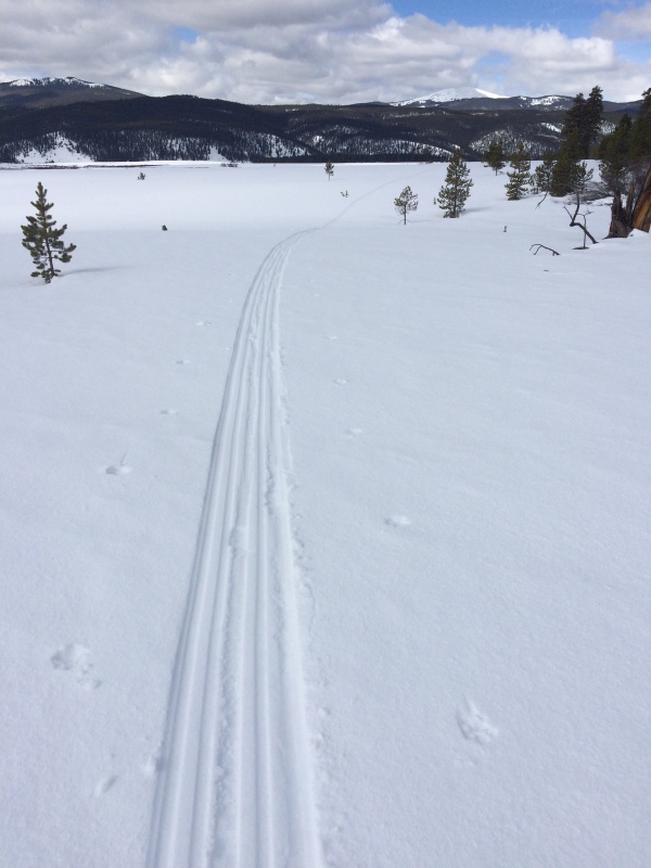
Day 2 
April 3, Snow overnight, then blowing snow
Lost
Clouds obstructed any view of the mountains for references. A slow breakdown of camp, hoping for the wind to settle. For whatever reason, the road to Pieplant had been trouble in the past, even by snowmachine many years ago. Yes, there is better signage now, but only at the junction down on the main road, and it’s still a half mile or so to the discrete forest entrance, with a completely blank slate between. I underestimated this detail, basically due to thinking that I didn’t need to take the road in the first place, the creek would be fine. Then defaulting to the same set of mistakes where the tendency is to be led to follow the course of a long meadow to nowhere into bogs of awful rotten snow, and the lower exit of Grizzly. Which is exactly what I did. This course was reversed, and my time was up with breaking through gloppy wet snow in the afternoon. I had to set camp and try again the next day.
6.1 miles
Day 3 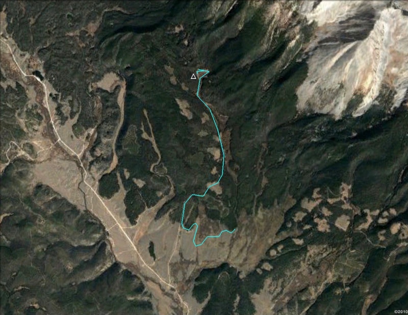
April 4, Clearing fog, cold temps, sunny skies
Base
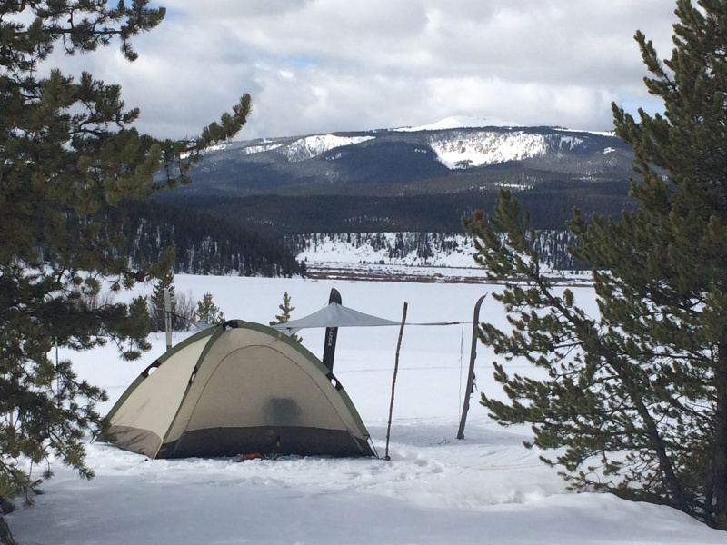
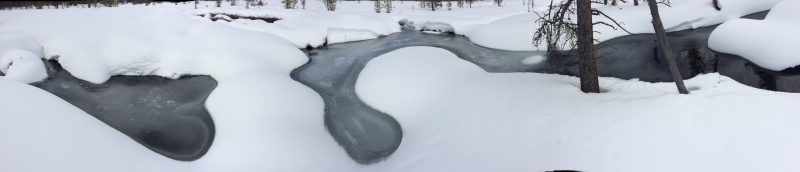
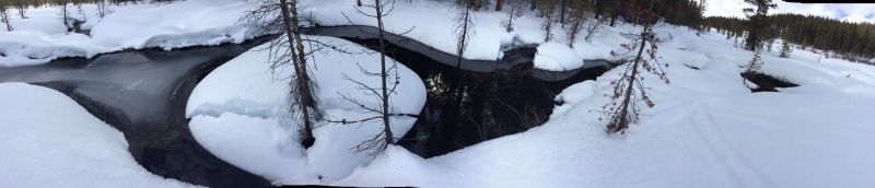
Backtracked to find the forest entrance for the road to Pieplant, an easier day. Eventually this road brought me to a chain of meadows riddled with lumpy bogs and open water, likely the result of the mine discharges, or even a dredge, like the one that operated over in the Tincup area. This is also the reason the creek bed down lower was too messed up to ski. I’ve seen the place in the summer too, and it’s an orange mess. Looks like I’ll be using snowmelt for water rather than filtering the creek. In addition to the two 11oz bottles of fuel, I had one additional quart can of white gas. If the sun was out I could also melt snow in the bottom of the black sled, which worked really well in keeping up on my supply without fuel for the next couple days in Pieplant.
4.4 miles
Day 4 
April 5, Clear and cold
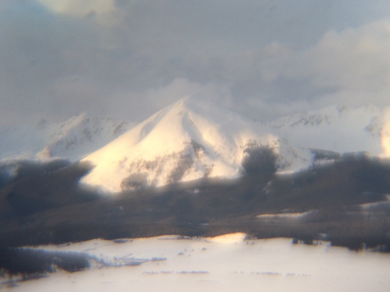
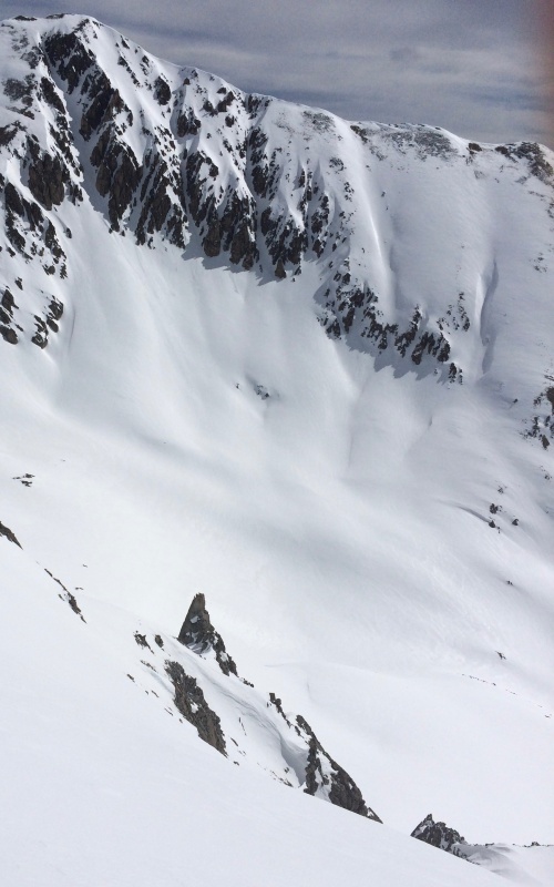
13,432 Jenkins
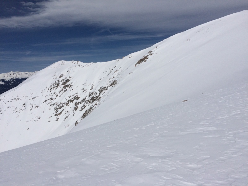
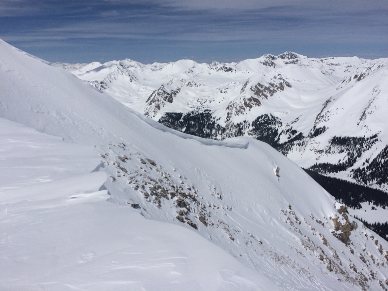
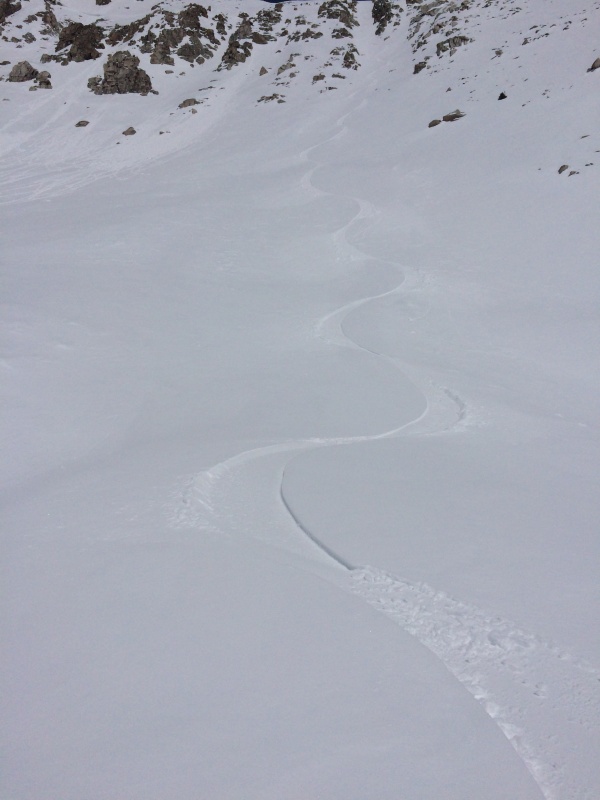
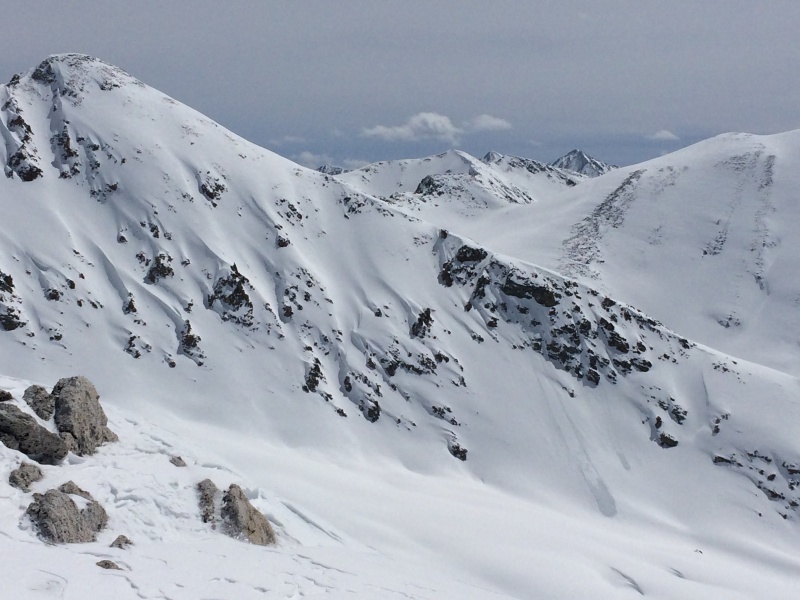
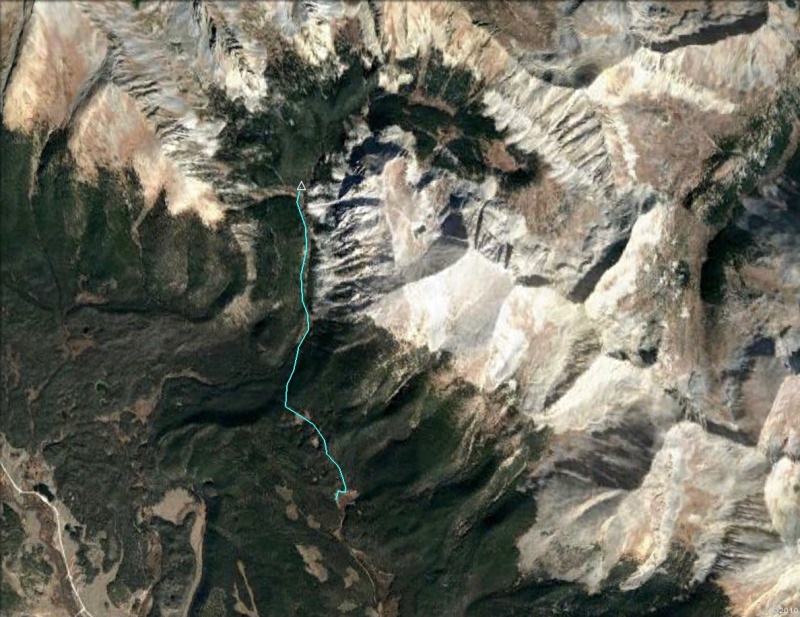
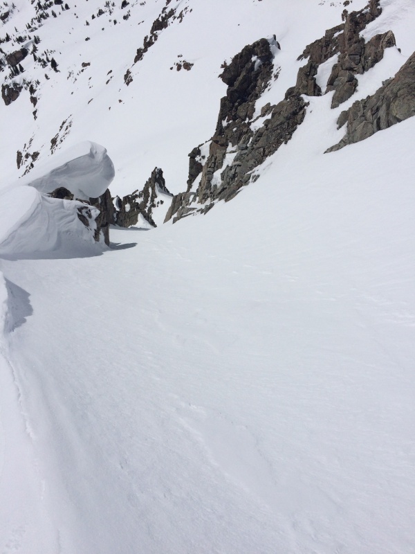
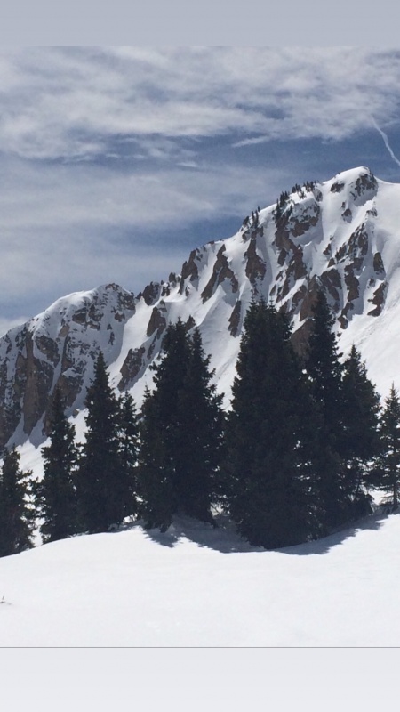
Initiating the climb up Jenkins was the only tricky part, with deadfall and rocky areas above the meadows. There’s an old roadcut to help, but eventually it traverses around the ridge into the main bowl. I broke off right to hold the more easterly aspect on deeper snow to skin out of treeline, first to the right of a rolling open slope, and eventually meeting the southeast ridge. Easy ground to a great summit. I picked out a steep looking channel down the center of the huge bowl, memorizing a set of small rocks down the upper face to cue the entrance. I was also considering the north chute, but found it ripped out in the entrance, with bare rocks in the top, and debris down below. The exit to Church Basin and return circuit seemed like a hard sell for those conditions, so went for the original plan of the south bowl. It was a great choice, with soft powder for the length of it. The rollover brought a little mystery to the turns down the upper slopes connecting the dots to my entrance, then dropping down this steep narrow channel into the lower bowl. Below that the bowl narrows into a gully and surprises, dropping steeply again to treeline before catching that same roadcut to carry momentum back to my skin track, and split the board just shy of Pieplant.
5.2 miles
Day 5
April 6, Mostly sunny
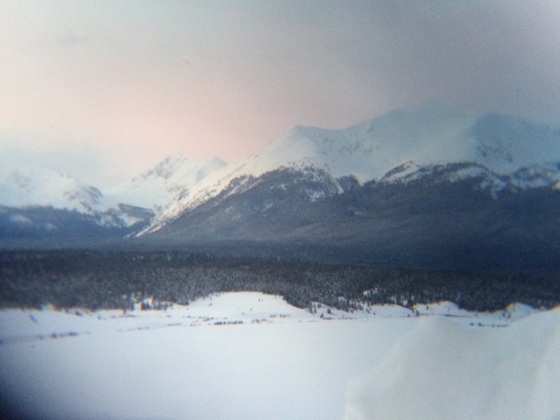
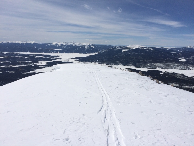
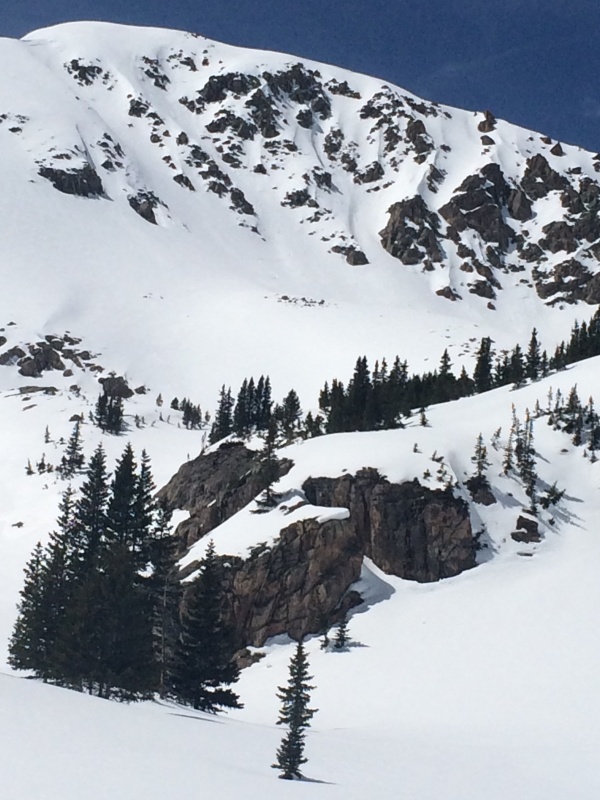
13,140 Dirtship & 13,281 Grizzly E
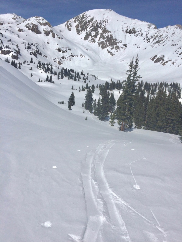
Skinning up to meet the Timberline Trail, going east around Jenkins’ lower SE ridge into a steep forested traverse, and climb to the krumholtz of the lower basin to set up for the south ridge of 13,140. Well, almost. I wrapped around to the east side to view the run first. Much shorter than I expected from the enticing distant views of the marina setting the long south ridge into more flattened space. The snow over on this aspect was a bit runneled with melt channels, and partially littered with slide debris, pulled dirt, and loose rocks one side of it. I was still looking forward to the ridge climb though, based on my view of it from Jenkins yesterday. Initiating the ridge would have been easier from the west, with a steeper pitch to get on it here. If the east face was short, it at least set up for a good cruise down the drainage to treeline.

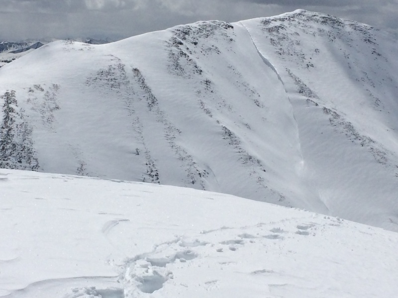

Next, skinning up the basin again from treeline under the broad west slopes of Grizzly to a northern pass while starting to bonk. The efforts of these past 5 consecutive days were catching up for one very slow ridge hike to the summit. Long moments of leaning over the poles while gazing down the east side, and standing pauses browsing the west chutes of Illinois filled the next hour or so. Patience. Clouds were building as it got to be afternoon, and even though it was staying cold and breezy, I was already thinking of descending to the west side. I was glad I didn’t though, because the south gully run was good, even if it starts out with a little ridge run to the entrance. Just as I was heading down, the peak was split by two low flying fighter jets overhead, northbound, at first in silence, with the rip roar following a moment after. Still plenty firm in the upper gully. Where it spilled out onto a big rolling apron the turns softened for a high quality run to treeline, and continued with gully cruising and sunny aspen groves. I meandered through until well below the level of the Timberline Trail before taking a traverse back to the lower chain of meadows below my camp in Pieplant.
10 miles

Day 6
April 7, Clear
Rest Day
Stashed the sled and nordic skis in a tree well, and relocated camp to Red Creek.
2.7 miles
Day 7 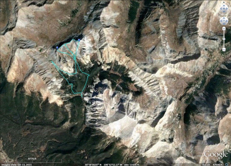
April 8, Mostly clear
12,750 & 12,934
A simple route to the saddle of these small peaks over the Lake Fork, taking the ridge first to ride the powdery NE face of 12,750, and then to the saddle again, up the other ridge to ride the craggy S face of 12,934. Afterwards, I routed to the south of 12,750 to explore other angles. Large avalanche debris tangled the exit to camp.
6.8 miles

Day 8 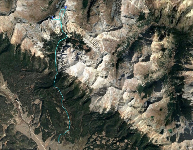
April 9, Partly cloudy, warmer
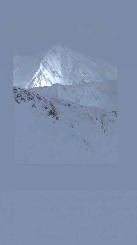
12,934 & 13,322 “Lake Fork Pk”
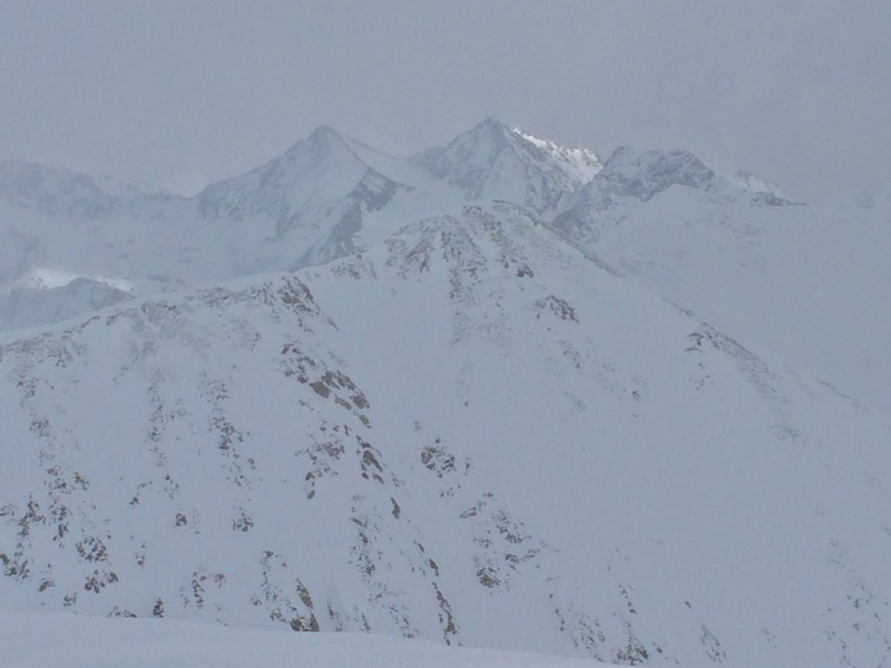
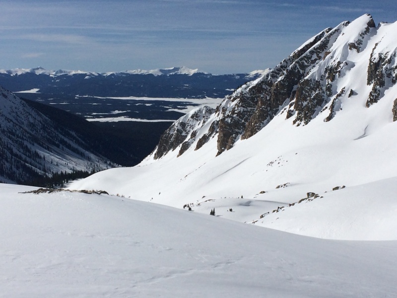
Skinning further up into Red Creek, branching left to Lake Pass Trail, under the steep and beautiful northeasterly face of 12,934 to ride before swinging up to the pass for the finale on 13,322 “Lake Fork Pk’. By then, an initial morning window of sun was passing, with a high thin cloud layer moving in, and a crisp wind cancelled the thaw in the south chutes. I tried to wait it out, but eventually had to just play my cards. The surface was smooth, if not soft. On the bright side, the snow stayed mostly supportive back to camp. I packed up and made a push back to Pieplant. I was not thrilled with the weather. Something was definitely moving in. With my diminishing food supply, the last thing I wanted to do was break trail again back to the marina after one of these major storms. I dropped my pack in the sled, and took advantage of the late day refreeze of the snow surface to kick and glide down to the forest entrance.
10.9 miles

Day 9

April 10, Snow overnight, cloudy, then heavy snow
Home stretch
Sort of a helpless feeling to listening to a storm blow in overnight. The new snow accumulation was only a couple inches, and there was a nice lull in the morning to pack up. Everything was dried and neat. As usual, feeling more organized by the end of a trip than in the beginning. I headed for the lake, making good progress, not having any issues besides the dark wall of storm clouds building up behind me, slowly making its way down valley from Dorchester. I retraced my way back to the inlet, out onto the ice, and took a compass bearing on the marina at the far end while I could still see it.
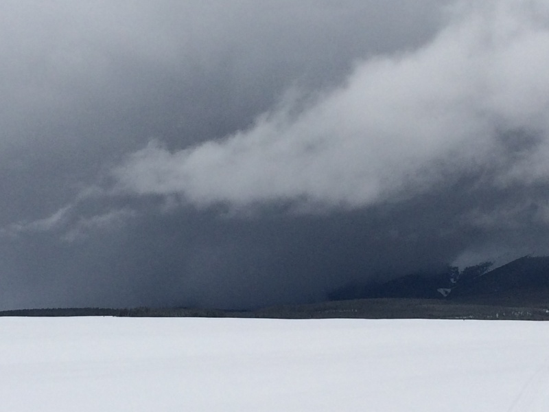
 As the storm rolled in the visibility dropped quickly to zero. It was full ping pong ball vertigo, and heavy sideways snow. I expected this to some extent. The consequences of being off course were low. I would end up over there somewhere, and only curious about how far off. What I didn’t expect though, was the weight of all the recent snow on the ice causing areas where water seeped up through cracks to saturate the base layer. My skis to glopped even without skins, and the bottom of the sled caked up with ice. This is an unnerving condition I was familiar with from skiing the lakes up in Minnesota years ago. But this, with the sled, oh holy hell.
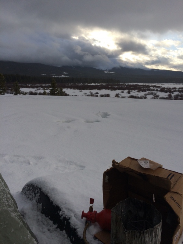
My progress dropped to a crawl while the storm set in with strong gusts and blowing snow. Inviting futility, I scraped the bottom of the sled and skis, fixed my hair, and started again. With one eye on the compass, and the other on the angle of my skis, I creeped along for another twenty yards until crossing another crack, repeating the process of cleaning again. It got worse where fishing holes riddled the ice, but at least this was some sign of being near the marina. I could finally make out the little pump house perched up on the banks there by about 6 pm, and dispensed with the final chore of hauling the caked sled up steep banks to meet the public access.
The storm cleared a bit just before dark to let me look out at my desperate little wobbling track, smaller now.
In summery, this trip was a great intro to what later became a season of longer approaches.
7.3 miles
Distance: 60 miles
Duration: 9 days
Thumbnails for uploaded photos (click to open slideshow): ")
")
")
")
")
")
")
")
")
")
")
")
")
")
")
")
")
")
")
")
")
")
")
")
")
")
")
")
")
")
")
")
")
")
")
")
")
")
")
")
")
")
")
")
")
|
| Comments or Questions |
|---|
|
|
Caution: The information contained in this report may not be accurate and should not be the only resource used in preparation for your climb. Failure to have the necessary experience, physical conditioning, supplies or equipment can result in injury or death. 14ers.com and the author(s) of this report provide no warranties, either express or implied, that the information provided is accurate or reliable. By using the information provided, you agree to indemnify and hold harmless 14ers.com and the report author(s) with respect to any claims and demands against them, including any attorney fees and expenses. Please read the 14ers.com Safety and Disclaimer pages for more information.
Please respect private property: 14ers.com supports the rights of private landowners to determine how and by whom their land will be used. In Colorado, it is your responsibility to determine if land is private and to obtain the appropriate permission before entering the property.

