| Report Type | Full |
| Peak(s) |
Montezuma Peak - 13,158 feet "The Unicorn" - 13,030 feet Summit Peak - 13,304 feet Conejos Peak - 13,176 feet Bennett Peak - 13,206 feet "Huerfanito" - 13,083 feet |
| Date Posted | 06/19/2021 |
| Modified | 08/23/2021 |
| Date Climbed | 06/17/2021 |
| Author | Mtnman200 |
| Additional Members | RandyMack |
| Yesterday's Gone and Tomorrow's On Its Way |
|---|
|
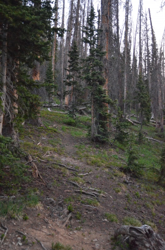
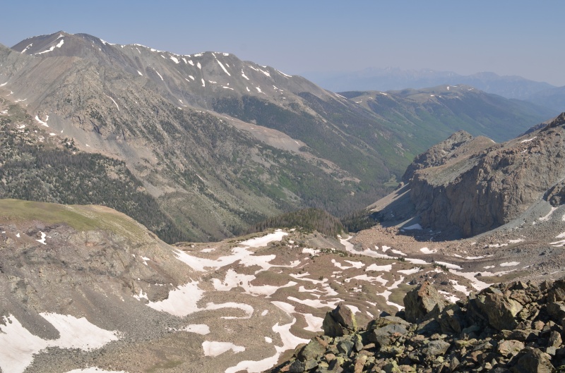
Monday, June 14, 2021. Randy and I decided to visit some seldom-climbed peaks in the southeast San Juan Mountains, along with a peak we'd orphaned in the Sangre de Cristo Mountains. The informal name of the orphaned peak, Huerfanito, translates as "little orphan boy." We drove via Walsenburg and Monte Vista to a few hundred feet before Forest Road 243 ends at the Treasure Creek trailhead. After dinner, we walked to the trailhead to locate the informal trail that heads toward Montezuma Peak. A pickup was parked at the trailhead with the liftgate on the camper shell open, so we made it a point to be quiet, as we didn't want to wake up the occupant(s) in case they were asleep. We later learned 14ers.com member Tufftommy-BV and his dog were the occupants. Tuesday, June 15, 2021. We followed the informal trail as it climbed west on the north side of Treasure Creek. 
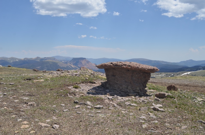
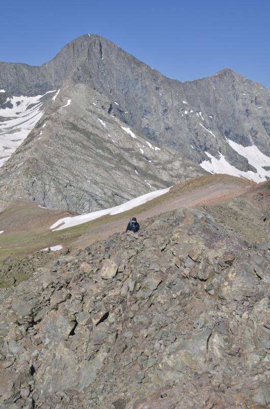
At about 11,500' we began climbing northwest toward a 12,516' ridge point ESE of Montezuma Peak. The only signature in the register from 2021 was that of Tufftommy-BV earlier this morning. 
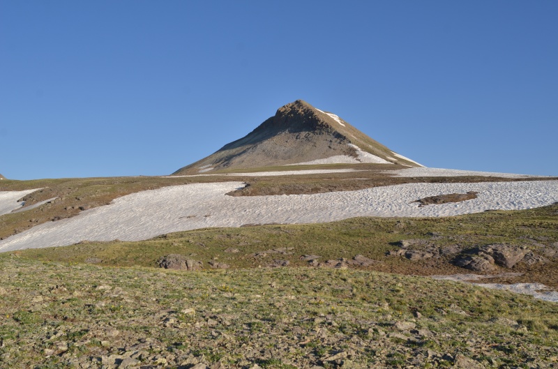


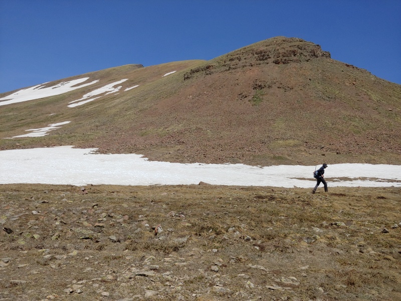
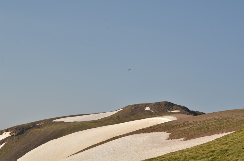
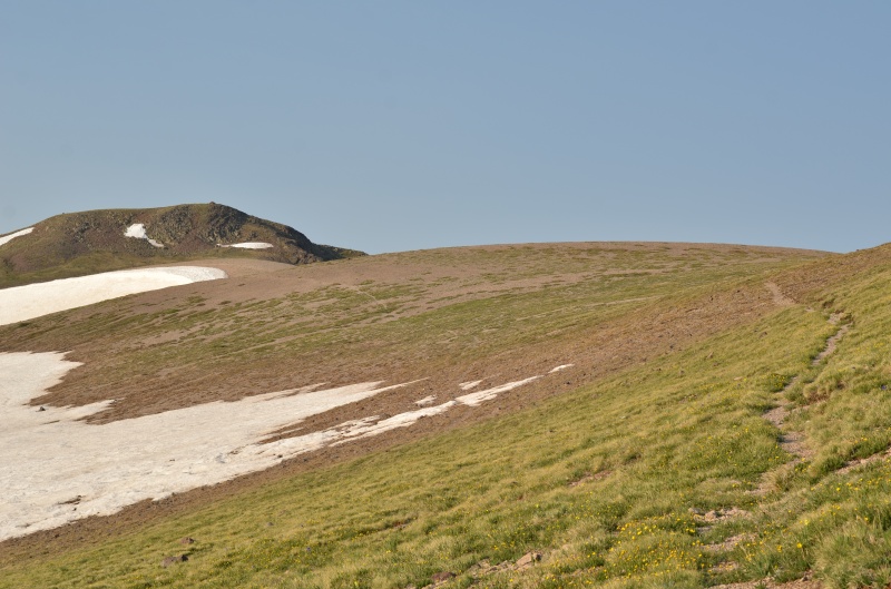
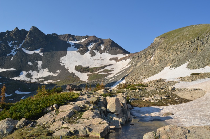
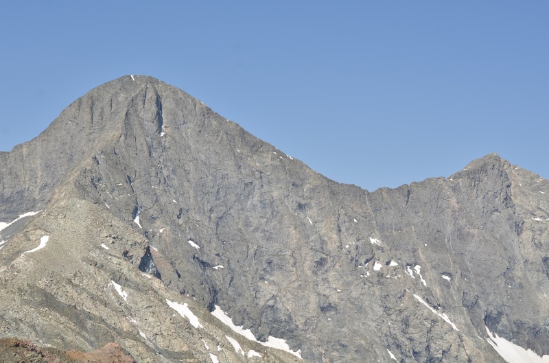
Initially, Randy and I planned to continue along the ridge to The Unicorn, but corniced snow convinced us to follow the Continental Divide Trail to a point east of The Unicorn. 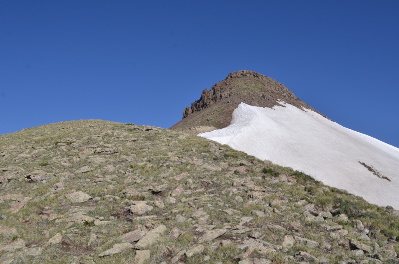
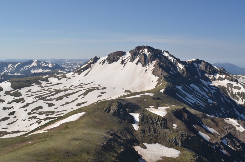
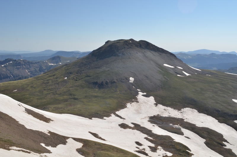
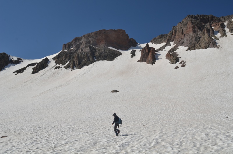
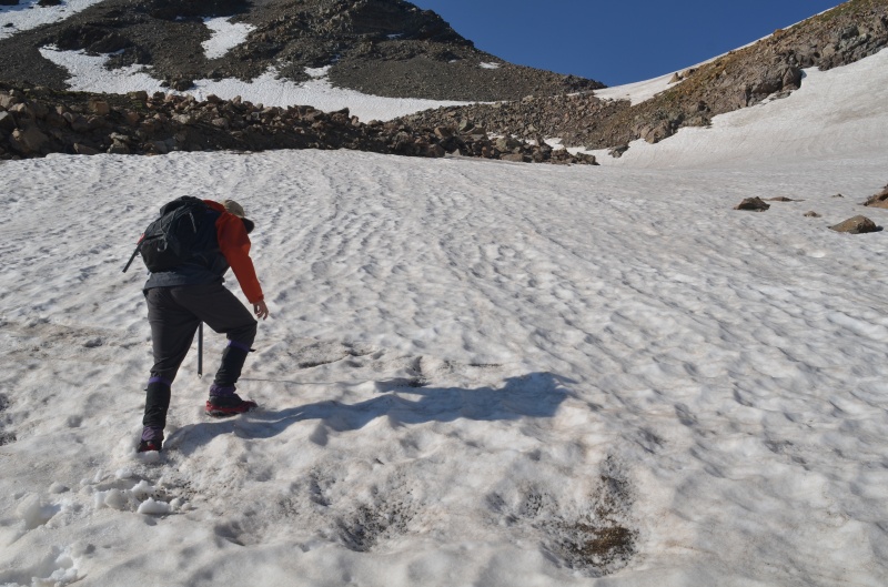
We descended to the basin east of The Unicorn, prepared to posthole our way south toward the east ridge of Summit Peak. 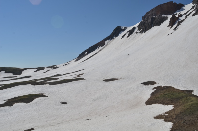


Once back at the Treasure Creek trailhead, Randy and I drove via Forest Roads 243, 380, 250, and 105 toward the Tobacco Lake trailhead (the starting point for Conejos Peak). Unfortunately, someone's 1970s International Scout had died, and the owner abandoned it in the middle of the road. There was not enough room on either side to get around the Scout, and the owner was nowhere in sight. 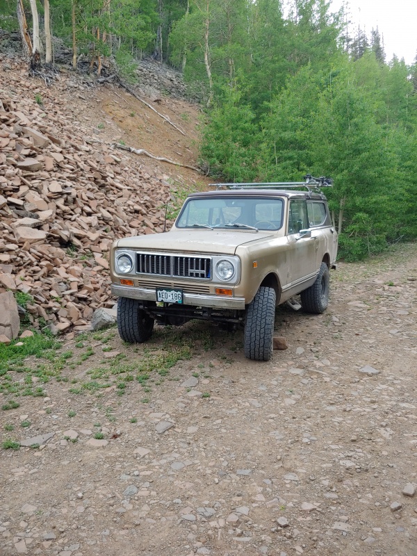
Shortly after resuming our drive to the Tobacco Lake trailhead, Randy and I saw Tufftommy-BV as he drove down the road following his afternoon climb of Conejos Peak. We found a place to camp near the trailhead, where we had the place all to ourselves. (Note: the Tobacco Lake trailhead is no longer at a switchback at 11,300' on FR 105. Instead, it's on a side road about a mile further up FR 105.) Wednesday, June 16, 2021. Randy and I followed the pleasant trail toward Tobacco Lake. 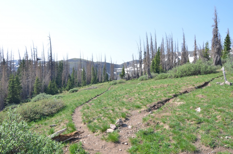

Randy and I returned to the trailhead and drove via Forest Roads 105, 250, and 280 to Blowout Pass. The Blowout Pass road was surprisingly decent and, in our opinion, is Subaruable. 
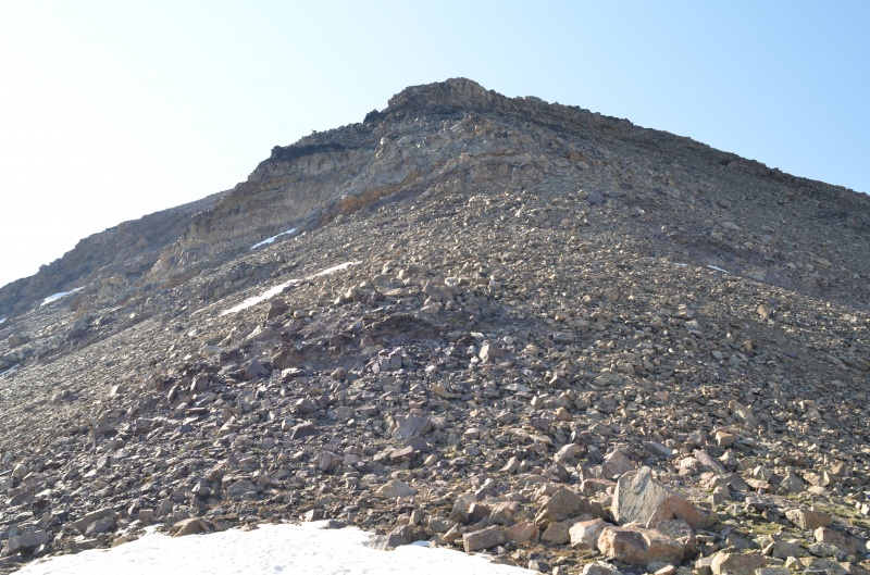
The trail to the summit of Bennett Peak was hot, dry, and dusty, so for a faster descent we headed south from the summit and picked up the trail about a mile from Blowout Pass. We then drove north from Blowout Pass on FR 329 and County Road 14 to Del Norte. Next up: Huerfanito (13,081'). We drove through Alamosa and Fort Garland to about two miles west of North La Veta Pass and headed north on a dirt road that took us to County Road 550 near Red Wing. In about a dozen miles we found a nice campsite. Thursday, June 17, 2021. Randy and I drove about two miles to the Lily Lake trailhead, which is also the trailhead for Lindsey Peak. 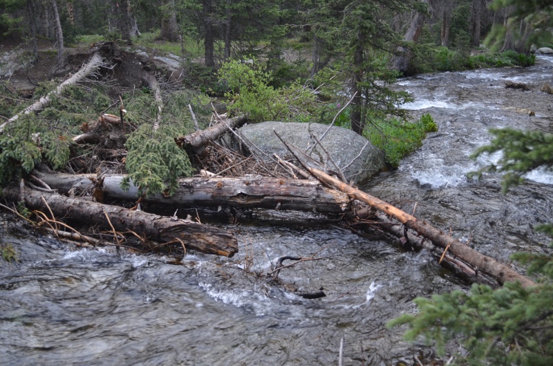


Huerfanito has three high points, and two of them appeared to be the same height. We climbed all three to be sure but didn't find a summit register anywhere. After having a quick lunch, we decided to descend east from the summit and then contour to the Mt. Lindsey - Huerfanito saddle. This would avoid the snow we'd ascended, as it was softening in the sun a bit too much for our liking. 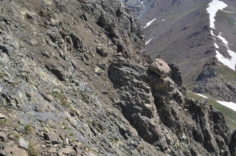
Along the way, we were surprised to meet fellow 14ers.com member Ian Krammer (IamIanIam), who was on his way up Huerfanito as part of a multipeak tour. Ian suggested following some ledges, and that worked out fine. 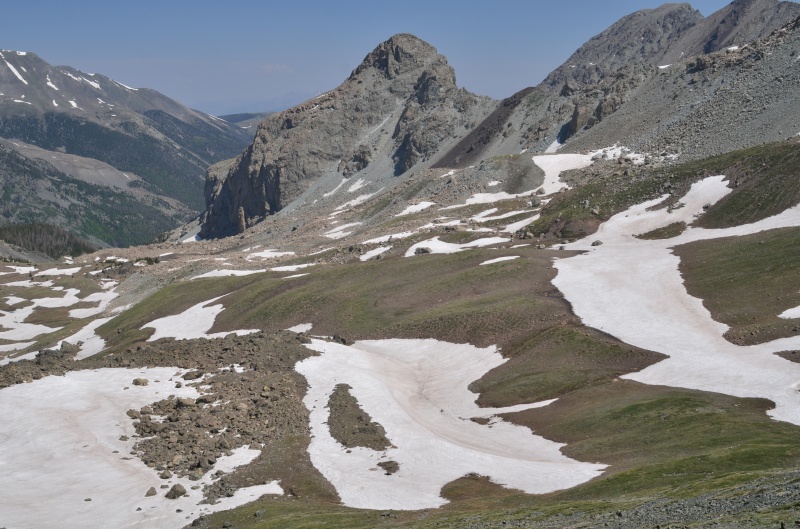
We returned to our car, pleased with having gotten all six peaks we'd targeted on this trip. More adventures await. Thumbnails for uploaded photos (click to open slideshow): ")
")
")
")
")
")
")
")
")
")
")
")
")
")
")
")
")
")
")
")
")
")
")
")
")
")
")
")
")
")
")
")
")
")
")
")
")
")
")
")
")
")
")
")
")
")
")
")
")
|
| Comments or Questions | |||||||||
|---|---|---|---|---|---|---|---|---|---|
|
Caution: The information contained in this report may not be accurate and should not be the only resource used in preparation for your climb. Failure to have the necessary experience, physical conditioning, supplies or equipment can result in injury or death. 14ers.com and the author(s) of this report provide no warranties, either express or implied, that the information provided is accurate or reliable. By using the information provided, you agree to indemnify and hold harmless 14ers.com and the report author(s) with respect to any claims and demands against them, including any attorney fees and expenses. Please read the 14ers.com Safety and Disclaimer pages for more information.
Please respect private property: 14ers.com supports the rights of private landowners to determine how and by whom their land will be used. In Colorado, it is your responsibility to determine if land is private and to obtain the appropriate permission before entering the property.


