| Report Type | Full |
| Peak(s) |
Mendota Peak - 13,279 feet |
| Date Posted | 06/17/2021 |
| Date Climbed | 06/12/2021 |
| Author | jibler |
| 1st San Juan Hike - clutch loop for the win! |
|---|
|
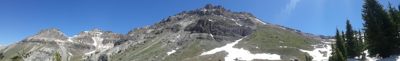
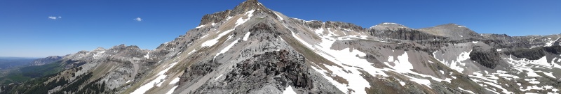
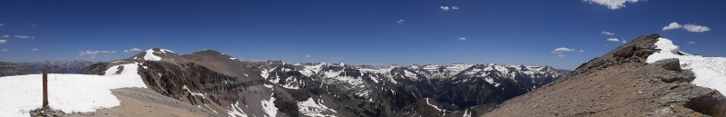
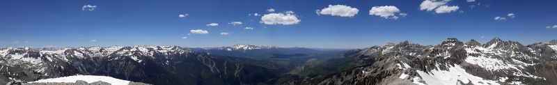
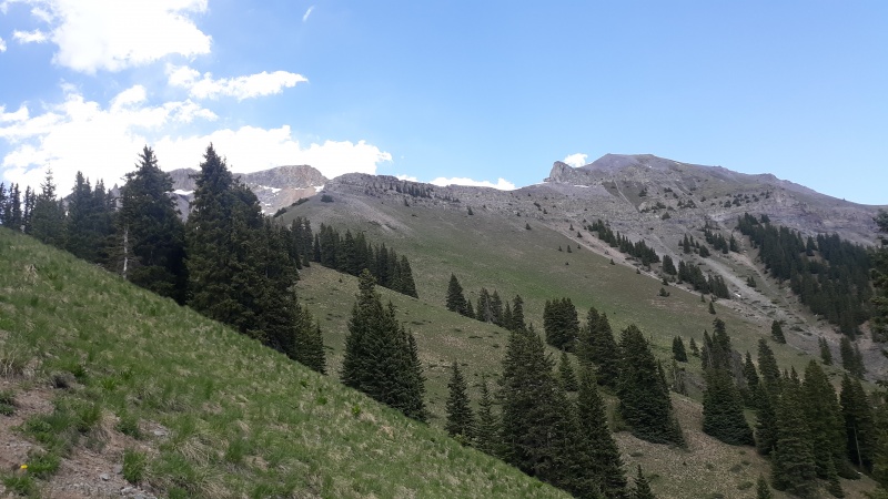
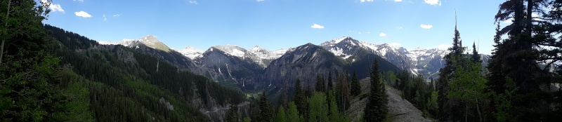
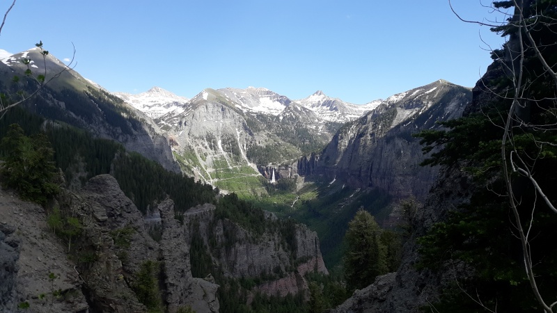
The Backstory is that I went on big road trip with my family thru Ouray to Mesa Verde circa 1986 - but have not been back since. I usually hike/camp solo these days and I always find somewhere shorter to drive most of the time. but took a road trip with my folks for a big post-covid hurrah the other weekend and finally got a crack at the san juans. And despite a lot of advice on other mtns - I ended of landing on this one because: A) good deep field of view of San Juans - inc. big views of Sneffels area B) loop hike going up the Liberty Belle trail and coming down the Sheridan Cross Cut C) for being a lower 13er - I was able to get this done in a fairly efficient fashion so as to not be gone all day. 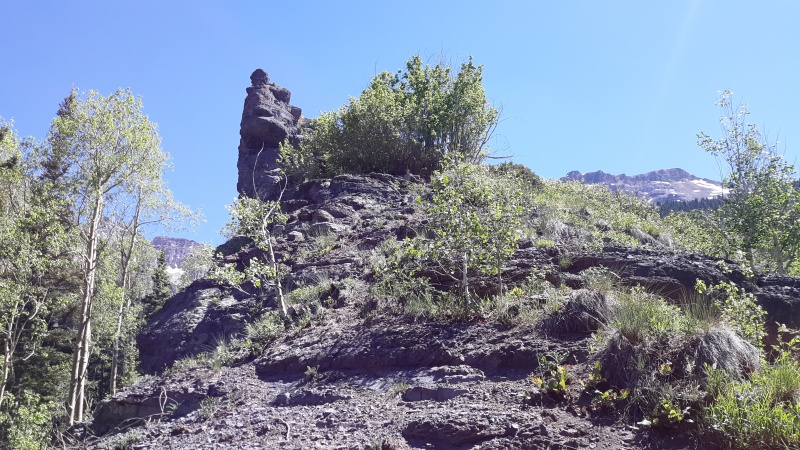
Yes I had asked if Emma could be taken from South - and that's a hard "No" on that one. Even if you got up most of the way you'd confront like 100/200 ft cliffs at the very top. 
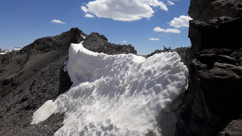
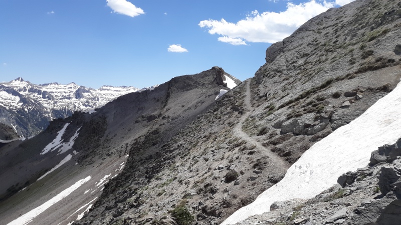
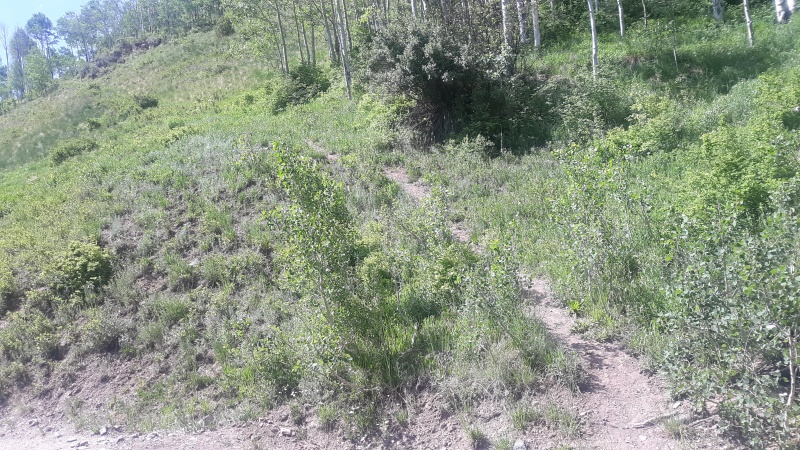
OK after following trail in pic above as far up as you can - it sort of peters out and enters this little rough transition zone. I guess the kids would call it Class 3 these days?? Either way - it was a bit hairy and is my first introduction to this 'rotten rock' everyone talks about. Funny/Not Funny story - there was this one rock up there that was tettering on falling over - so I thought I would help all of us and just knock it down. but of course it was actually holding up like 5 other rocks so moving it started a small landslide! 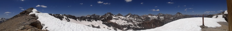
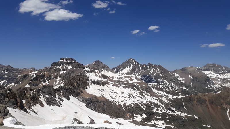
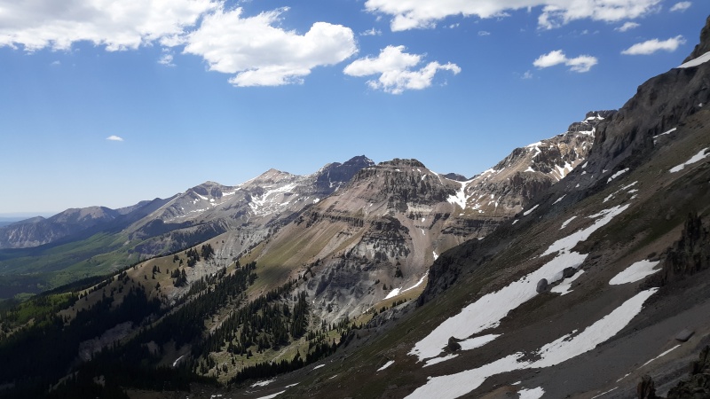
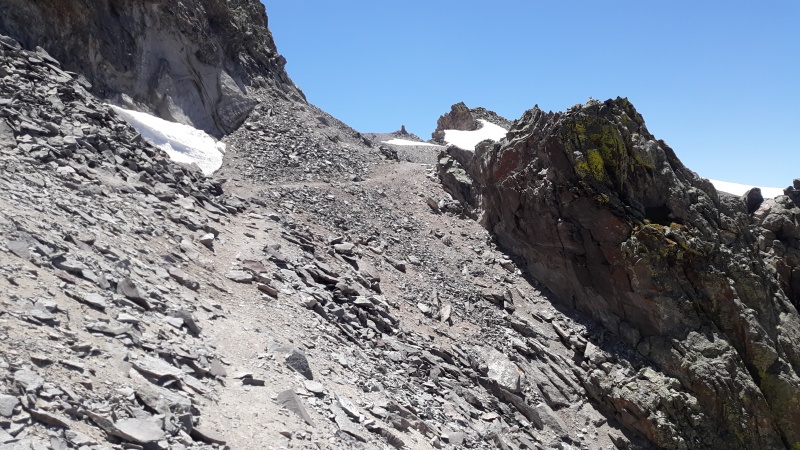
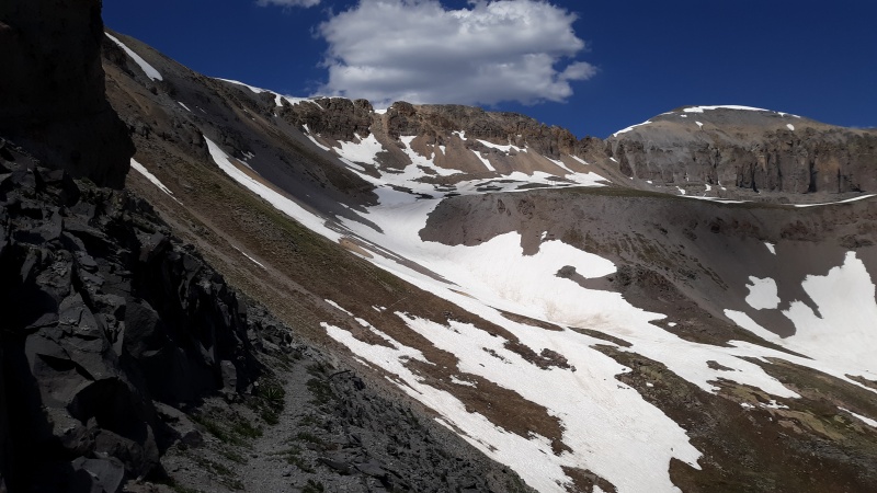
And I thought the Sheridan Crosscut might just be sort of ordinary - but it too had rock outcroppings and really great view of those waterfalls too! That's what really took this from an awesome hike into kickass hike country. 
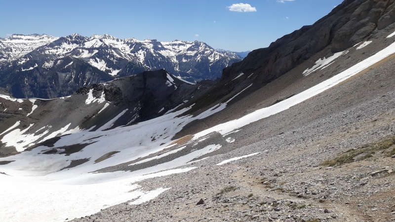
Bottom line - I guess most people already know that you likely should not climb up the sheridan crosscut? it was crazy steep. and come to mention it - it was also fairly steep coming up the other way too! I suppose that's the story of every hike around telluride though - hills seem very steep. I would say great introductory hike for the area - and the loop factor keeps it fresh! Oh also one parting note re: Emma - people were talking like it might be possible to go into overdrive from Mendota and get over to Emma - but there's a serious cliffband on north end of Mendota. It would not be simple by any means - and might be unreasonable in fact. Thumbnails for uploaded photos (click to open slideshow): ")
")
")
")
")
")
")
")
")
")
")
")
")
")
")
")
")
")
")
")
")
")
")
")
")
|
| Comments or Questions |
|---|
|
|
Caution: The information contained in this report may not be accurate and should not be the only resource used in preparation for your climb. Failure to have the necessary experience, physical conditioning, supplies or equipment can result in injury or death. 14ers.com and the author(s) of this report provide no warranties, either express or implied, that the information provided is accurate or reliable. By using the information provided, you agree to indemnify and hold harmless 14ers.com and the report author(s) with respect to any claims and demands against them, including any attorney fees and expenses. Please read the 14ers.com Safety and Disclaimer pages for more information.
Please respect private property: 14ers.com supports the rights of private landowners to determine how and by whom their land will be used. In Colorado, it is your responsibility to determine if land is private and to obtain the appropriate permission before entering the property.

