Download Agreement, Release, and Acknowledgement of Risk:
You (the person requesting this file download) fully understand mountain climbing ("Activity") involves risks and dangers of serious bodily injury, including permanent disability, paralysis, and death ("Risks") and you fully accept and assume all such risks and all responsibility for losses, costs, and damages you incur as a result of your participation in this Activity.
You acknowledge that information in the file you have chosen to download may not be accurate and may contain errors. You agree to assume all risks when using this information and agree to release and discharge 14ers.com, 14ers Inc. and the author(s) of such information (collectively, the "Released Parties").
You hereby discharge the Released Parties from all damages, actions, claims and liabilities of any nature, specifically including, but not limited to, damages, actions, claims and liabilities arising from or related to the negligence of the Released Parties. You further agree to indemnify, hold harmless and defend 14ers.com, 14ers Inc. and each of the other Released Parties from and against any loss, damage, liability and expense, including costs and attorney fees, incurred by 14ers.com, 14ers Inc. or any of the other Released Parties as a result of you using information provided on the 14ers.com or 14ers Inc. websites.
You have read this agreement, fully understand its terms and intend it to be a complete and unconditional release of all liability to the greatest extent allowed by law and agree that if any portion of this agreement is held to be invalid the balance, notwithstanding, shall continue in full force and effect.
By clicking "OK" you agree to these terms. If you DO NOT agree, click "Cancel"...
I was able to grab Mount Marcy, during a work trip. I flew into Burlington, VT, and made the 2.5 hour drive to the Mount Marcy Trailhead (aka the Van Hoevenberg Trail); near Lake Placid, NY. I ended up arriving at the trailhead around 2:45 pm. I knew this was a later start, but I was hoping to run some of the trail, and make good time. I had checked the weather report, and it did call for scattered rain in the afternoon. But, the weather map showed it as small, isolated storms. So, I was hoping that I could either dodge the rain, or wait it out, if needed.
My first two miles were pretty fast (sub 15 minute pace). I was able to run a bit, but mostly fast hiking. I got to the Marcy Dam in just over 2 miles, and around 30 minutes. I continued the ascent. At this point, the trail got notably rockier. I slowed to 20 minute pace, as I was mostly fast hiking at this point. At about half way, I heard thunder in the distance. Luckily, it wasn't right on top of me, but I was cautious. It also sprinkled a little bit as I ascended. Ultimately, the storms mostly moved on. I should note that the trail markers are a combination of blue markers mostly on the trees, in the beginning, then it shifts to blue ribbons tied to branches. And, up high it was yellow marks painted on the rocks, to keep you on track, and off of the sensitive vegetation.
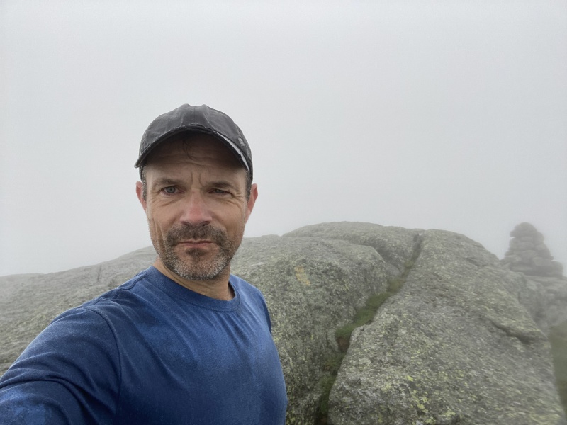
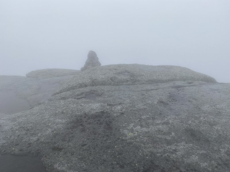
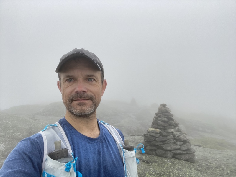
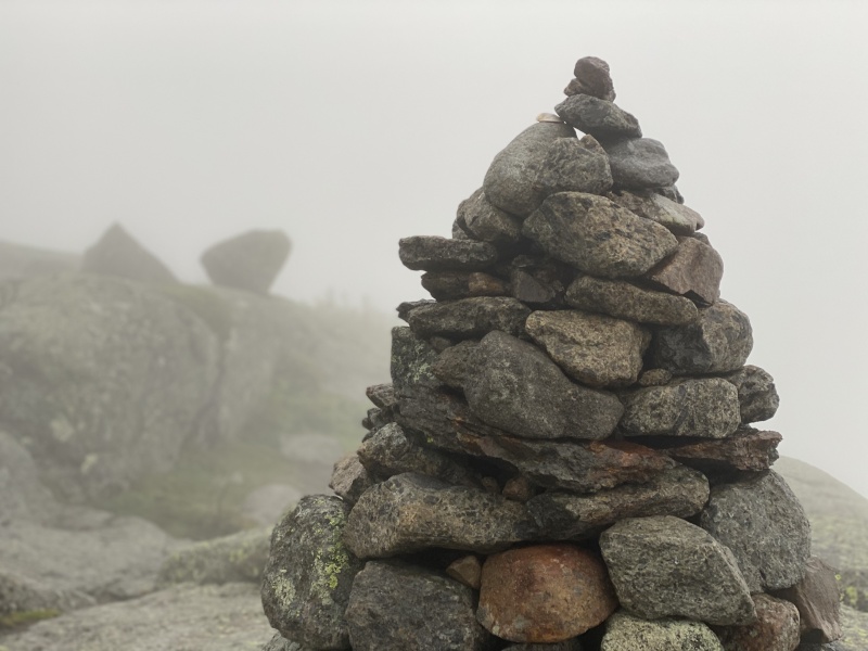
Selfie at the summitBig cairn at the summitMore selfie, fogged inBig cairn
Towards the top, it started to get very slabby. In dry conditions, this wasn't too difficult. In the last few miles, there were some puddles, which I was mostly able to avoid, and keep my feet dry. The last mile or so was above treeline, and it was almost completely fogged in for me. The skies were still being friendly, and not thundering on me, but I wanted to move fast, in case it changed. I ultimately reached the summit in 2 hours 32 minutes. As I was taking some quick pictures, it started to rain and hail a little bit. It pretty much continued to rain the whole time, during my descent.
I only stayed on the summit for 3 minutes, then started descending. I started pretty fast, but was forced to slow down on the slabby rock. The rain had made the rock slick. So, I had to be much more careful, not to slip. I did end up falling a few times, but no major injuries. As I continued below treeline, the puddles from the ascent had gotten bigger, and almost impossible to avoid. So, ultimately, I stopped trying to avoid getting my shoes wet, and just started walking through the puddles. This end up being an ok decision, because later on it would have been totally impossible to avoid the mud and water. I continued to descend, being careful not to slip and fall. I was not completely successful avoiding a few falls in the mud though. As I got back to within about 4 miles from the bottom, I was able to clean myself off in the creek. I literally walked into the creek, up to waist high, and cleaned off everything. I fell again, soon after, and did the creek again, "rince, repeat." I managed not to fall anymore in the last few miles, fortunately.
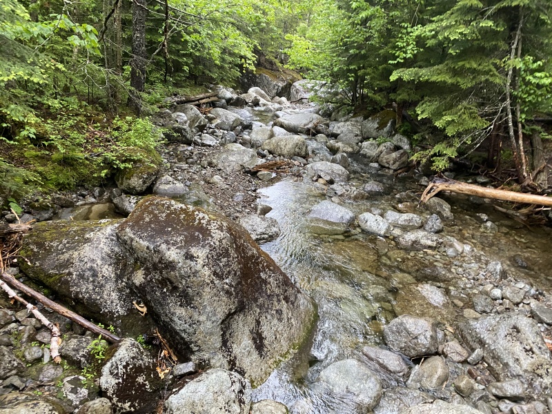
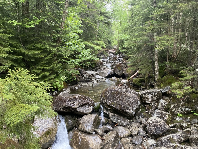
Creek during the descentCreek during the descent
I reached the trailhead in 5.5 hours round trip, about 2 hours from leaving the summit. Total roundtrip mileage was about 14.7 miles, and 3,993 feet of elevation gain/loss. I really wish the conditions were better. The wet rock and mud during the decent was miserable, and frustrating. If I weren't in a rush to get down, because of my later start, it probably wouldn't have mattered much. So, if I were to do Marcy again, it would be either better conditions, or allow for more time.
My GPS Tracks on Google Maps (made from a .GPX file upload):
Thanks for the report. I just moved to Colorado from the northeast 7 months ago, I spent many years living in the Champlain Valley and hiked regularly in the Adirondacks. That is an insanely fast time by my standards for that hike, you must be in great shape. But then again many on this forum are. The nice thing about the rainy conditions is it kept the crowds down. That is a very popular hike. I would choose the rain and dampness over the crowds any day. I did a 46er round back in the early 1990s, done many of the peaks many times. If you go back and can only do one trip I would recommend Haystack or Gothics/Pyramid over Marcy. There are several wonderful options though. I hope you had time to enjoy Burlington, I miss that city. I have Colorado's Mt Marcy on my near term hit list because of its namesake in NY :-).
Caution: The information contained in this report may not be accurate and should not be the only resource used in preparation for your climb. Failure to have the necessary experience, physical conditioning, supplies or equipment can result in injury or death. 14ers.com and the author(s) of this report provide no warranties, either express or implied, that the information provided is accurate or reliable. By using the information provided, you agree to indemnify and hold harmless 14ers.com and the report author(s) with respect to any claims and demands against them, including any attorney fees and expenses. Please read the 14ers.com Safety and Disclaimer pages for more information.
Please respect private property: 14ers.com supports the rights of private landowners to determine how and by whom their land will be used. In Colorado, it is your responsibility to determine if land is private and to obtain the appropriate permission before entering the property.
")
")
")
")
")
")


