| Report Type | Full |
| Peak(s) |
"Thunder Pyramid" - 13,944 feet |
| Date Posted | 06/03/2021 |
| Date Climbed | 06/02/2021 |
| Author | Wentzl |
| Pure Thunder |
|---|
|
This report is to provide info on climbing Thunder Pyramid. 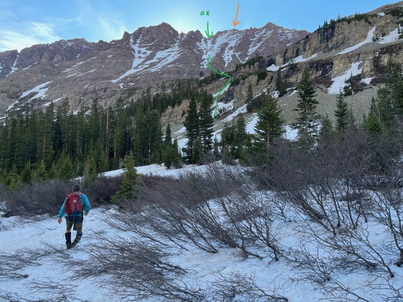
The snow bridge across the creek is very solid and should be good for another week or two. No snowshoes were necessary. The snow was firm in the morning and getting through the willows was easy. In the afternoon, it was slushy and there was some wading thigh deep, but just for a short while. After crossing the creek, continue up the West Maroon Trail for about another 1/4 miles before leaving the trail and starting toward the West Face of Thunder Pyramid. The previous photo shows the route taken through the lower cliffs. The snow through these cliffs was the steepest and most firm of any snow we encountered and crampons were useful. The green arrow shows an obvious saddle which is north of the summit. The standard route does not go to this saddle, but rather, gains the summit via the snow gullies to the right. The summit is not visible in the photo, but the orange arrow indicates where the summit lies behind the ridge. On the descent, I opted to try staying on the N Ridge to get down to the saddle and this worked ok, hence the "OK" in the photo, but the rock was loose. More on that later. 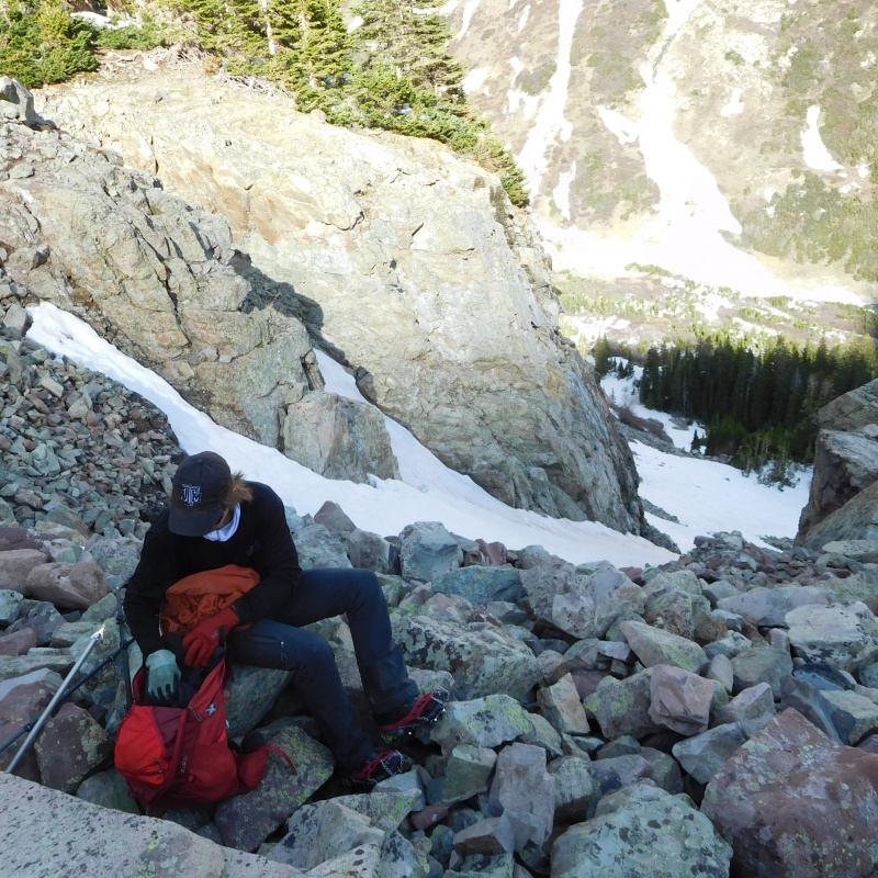
Generally, you keep heading up and toward climbers left until under the broad W Face. 
After the initial cliff bands, the snow angle was low and traction was optional. 
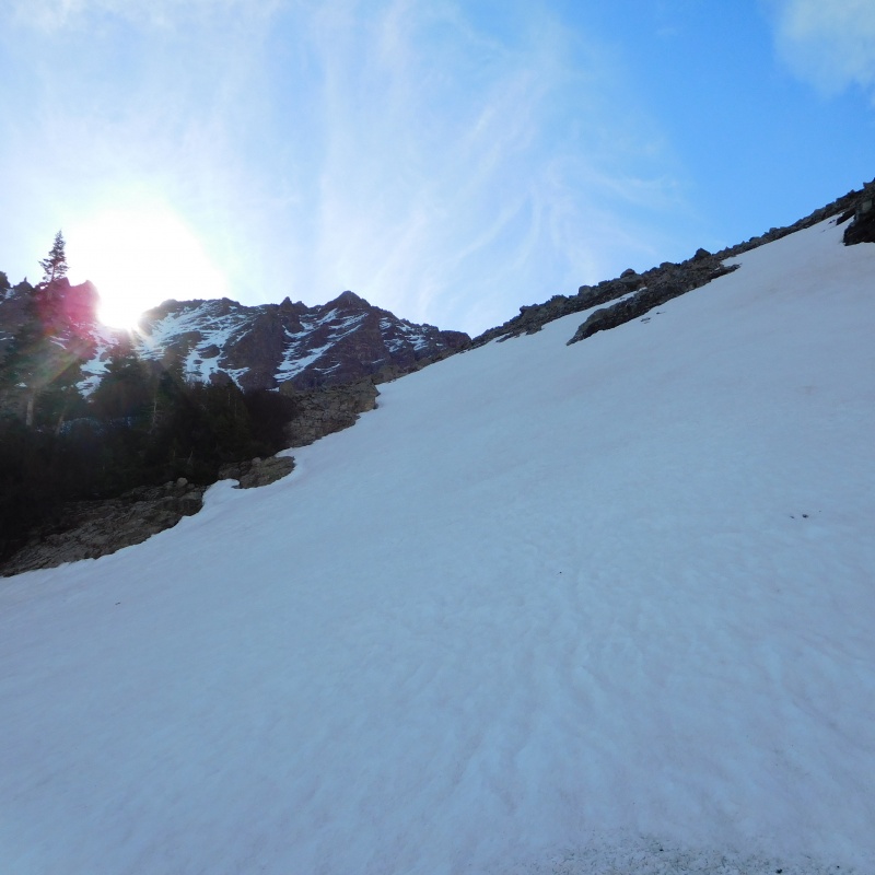
Once you are looking at the West Face you have several options. I stayed primarily on the rock rib on the right of the previous photo. Doing this, I did not use my crampons for the rest of the day. Alec opted to stay in the snow. I think he worked a little harder, but had less exposure. 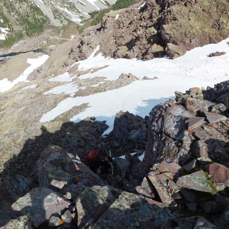
There were many possible ways to go up the face. Any of several of the snow gullies or the rock would have worked out fine. 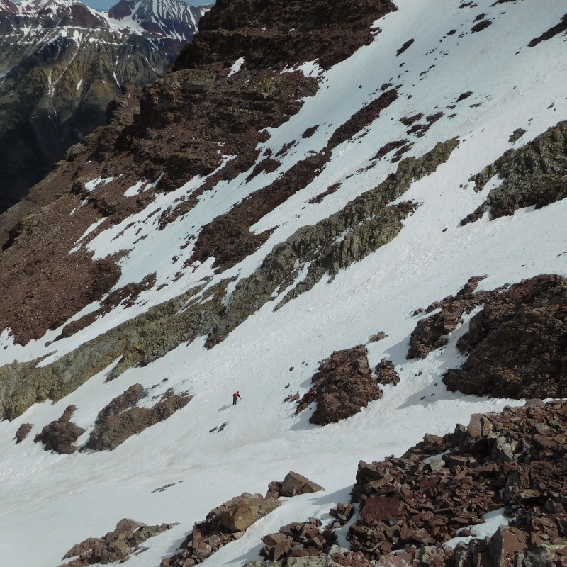
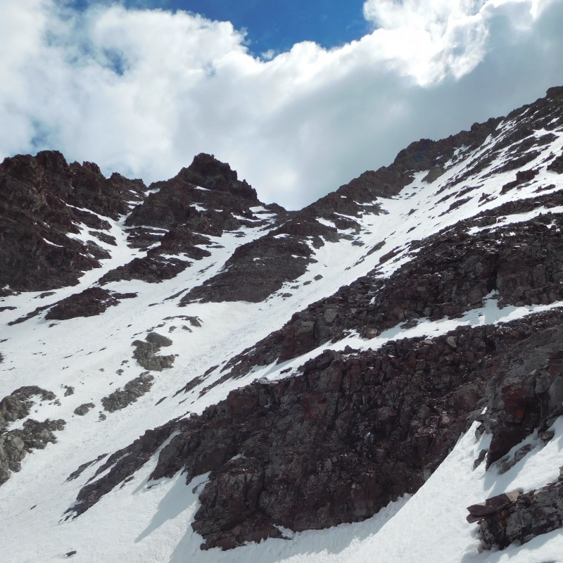
The saddle in the center of the previous photo is the one marked with the green arrow earlier. Having descended from the summit to that saddle, I am going to suggest that this may be the easiest way to gain the summit. Although on our ascent we tried to stick to the standard route and climbed up the snow at the top right of the previous photo. 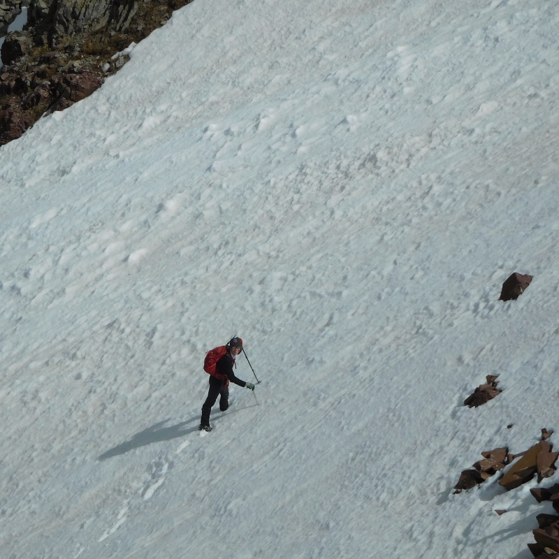
We topped out on the ridge just a little north of the summit and had a bit of 4th class scrambling to gain the summit. The further to the right you climb steeper snow and come closer to the summit with less rock scrambling, the further left you gain the ridge, the less steep snow and more rock scrambling. It's all good. 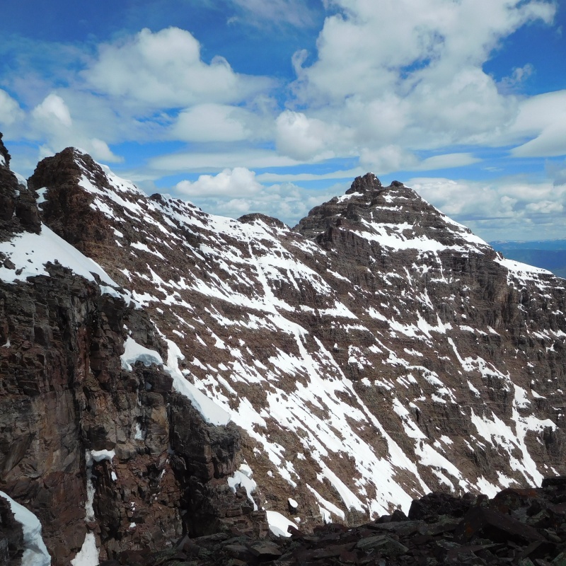
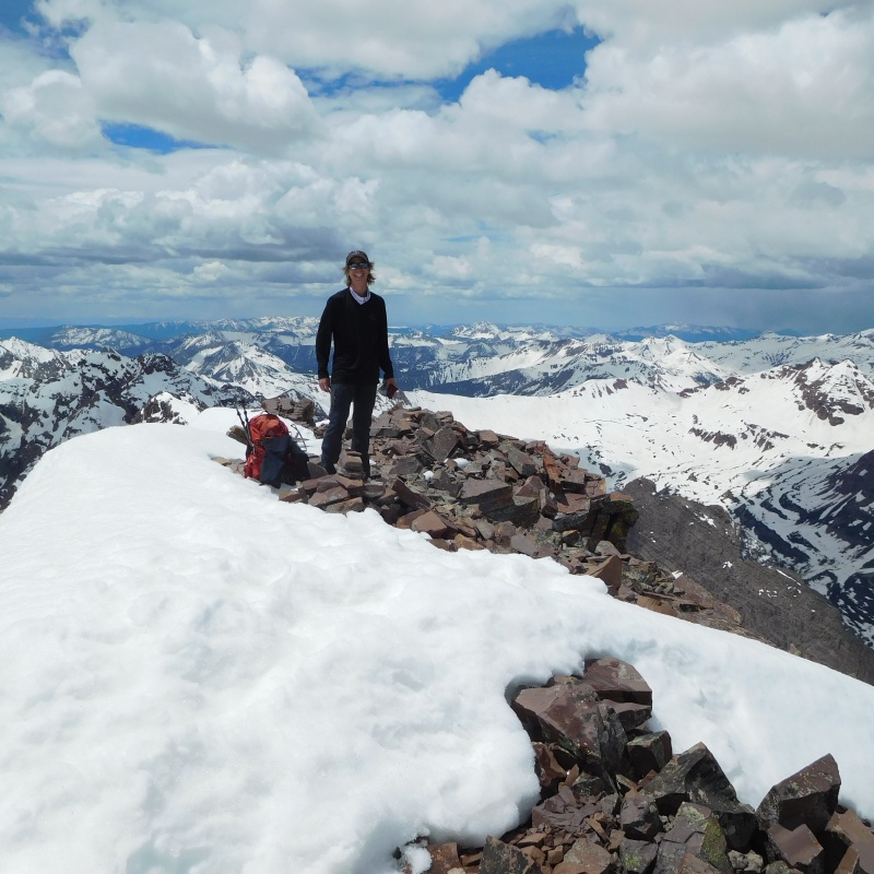
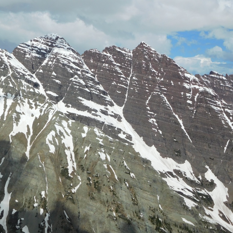
We reached the summit right at Noon. So on the descent we split up, Alec going down the way we came up and I choosing to follow the ridge north to the obvious saddle. Was probably a good idea doing that as we both kicked off some loose blocks going down. Like I said, the ridge was fun, and no harder than easy 4th class, but I did step on a block about 3 inches thick and the size of the hood of a small car which peeled away under my boot and sailed a couple hundred feet. The mountain does live up to it's reputation of being loose and dangerous! 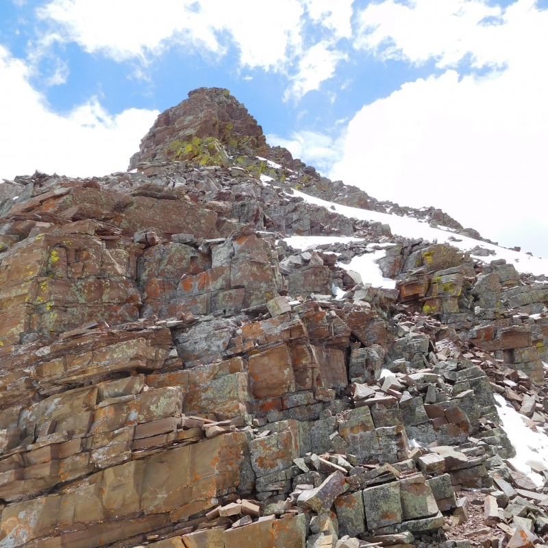
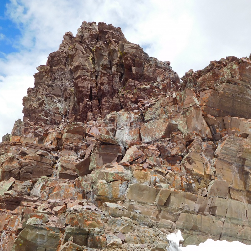
The view from the saddle suggests that the climbing is much more difficult than it turns out to be. With care, a route without any 5th class climbing can be found there. 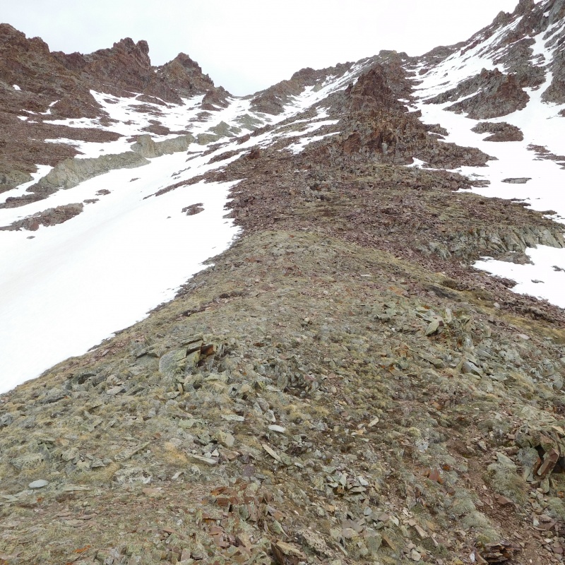
We started down around 12:30 and the snow had softened up nicely. A combination of plunge stepping and glissading made short work of it and we were back at the car in about 3 hours. 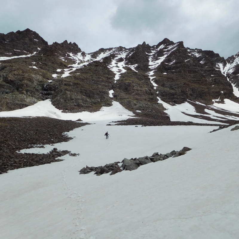
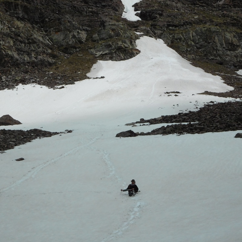
The snow for most of the descent was in great shape. But care had to be taken because every now and then, when heel stepping aggressively, you would punch through and pitch forward. But even the firm steep snow through the cliff bands was soft enough in the early afternoon that traction was no longer necessary. There was just a short section through the willows, before getting back to the trail, where the soft snow was annoying, but only for a few minutes. It was an excellent day and I don't think we could have had any better conditions. Thumbnails for uploaded photos (click to open slideshow): ")
")
")
")
")
")
")
")
")
")
")
")
")
")
")
")
")
")
")
")
|
| Comments or Questions |
|---|
|
|
Caution: The information contained in this report may not be accurate and should not be the only resource used in preparation for your climb. Failure to have the necessary experience, physical conditioning, supplies or equipment can result in injury or death. 14ers.com and the author(s) of this report provide no warranties, either express or implied, that the information provided is accurate or reliable. By using the information provided, you agree to indemnify and hold harmless 14ers.com and the report author(s) with respect to any claims and demands against them, including any attorney fees and expenses. Please read the 14ers.com Safety and Disclaimer pages for more information.
Please respect private property: 14ers.com supports the rights of private landowners to determine how and by whom their land will be used. In Colorado, it is your responsibility to determine if land is private and to obtain the appropriate permission before entering the property.


