| Report Type | Full |
| Peak(s) |
Mt. Blaurock - 13,626 feet |
| Date Posted | 05/30/2021 |
| Modified | 05/31/2021 |
| Date Climbed | 05/28/2021 |
| Author | bmcqueen |
| Spring Snow on Blaurock |
|---|
|
I'm quite sure this couloir has been climbed many times before, but I didn't see a trip report for it with my quick glance, so I thought I would write up a quick one. Blaurock is of course usually climbed with its bi-centennial neighbor, Ervin. Since we got chased off Blaurock by lightning 200' from the top of Blaurock in July 2020 (see JQ's report), I needed to come back solely for Blaurock. This made for a nice little snow climb and could easily be used to climb Blaurock first, then you could traverse to Ervin and descend from there. Stats My plan was to go up the gully between Blaurock and Ervin, but when I parked my car just after the first water crossing between the Winfield Cemetery and the West Winfield trailhead, I was greeted with the view below. Without continuous snow to the saddle, that route was not going to be any fun. I saw some snow on the left hand side that looked like it might go. A quick look at my map showed two couloirs on the SW aspect of the peak that looked promising. I decided I would go up the creek on the west side of the south ridge and see if the snow looked appealing from there. 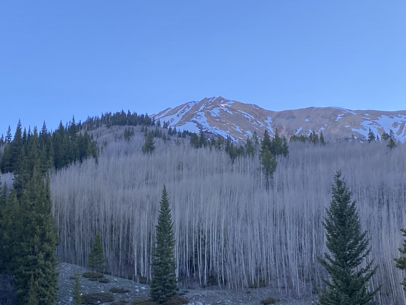
I stayed fairly close to the creek through the trees, crossing it twice before coming into a clearing with a good line of sight to my options. 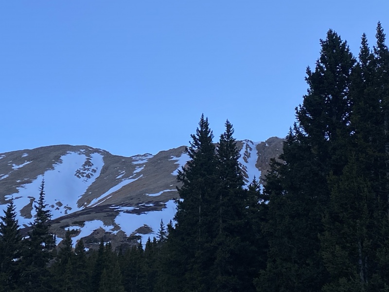
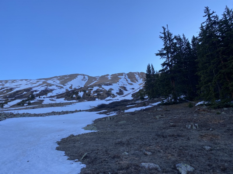
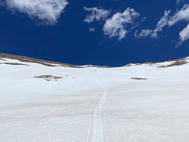
The right branch of the snow above me kind of looked like Michigan, so I made a mental note to turn left at Michigan, popped my crampons on and started up the mellow snow at the bottom. 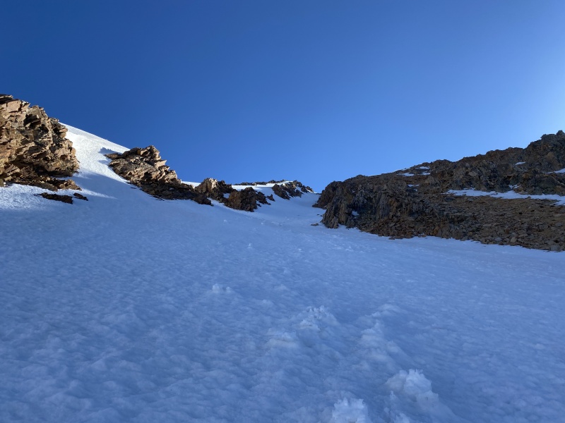
The snow was firm and I was very pleased that it appeared I would be in the shade most, if not all, of the way up. I had started late for a spring snow climb, walking from my car at 6:46 AM, but the aspect being southwestern made that timing work just fine. 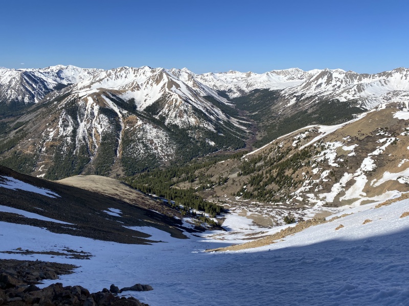
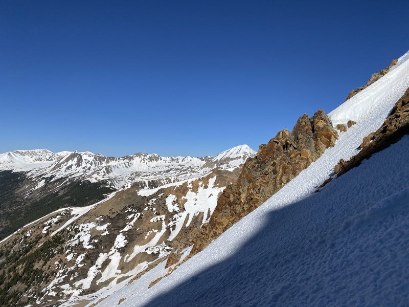
The couloir was definitely steeper at the top than it was at the bottom. I stayed climbers right to stay in the shade. I would guess low 40's for slope angle in the upper part. The lower part was very tame mid-30's I would say. 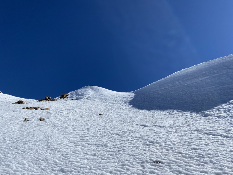
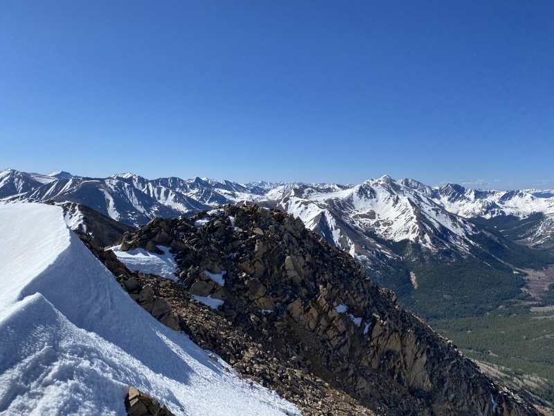

I turned left and did the couple little ups and downs over to Blaurock's summit. I need a May summit of La Plata for my grid efforts, so I was tempted to go check out the ridge beyond point 13,686 to see if it might go, allowing me to connect into La Plata's Winfield route that I had climbed a couple times before. I was concerned about the three towers I could see on that ridge, so I approached with a cautious curiosity. I also considered dropping down into the basin north of me and climbing the snow I could see going up La Plata's south face. It was fully in the sun, however, and by the time I got over there, I would be pushing my luck to climb it safely. Plus it looked like I would be committing to drop to about 12,500', which would add 1,800 vertical feet to my day. 
When I got to the top of point 13,686, it was 11:30 AM and my legs and lungs were telling me that they weren't yet in shape to hang out above 13k for this long and bolt on other peaks across the ridge. My map showed it being about 0.7 miles across the way to gain the easy ground of La Plata's SW ridge. It looked mighty chossy in between, so I decided against exploring and made a quick descent with a pair of glissades that took me back down into the basin. 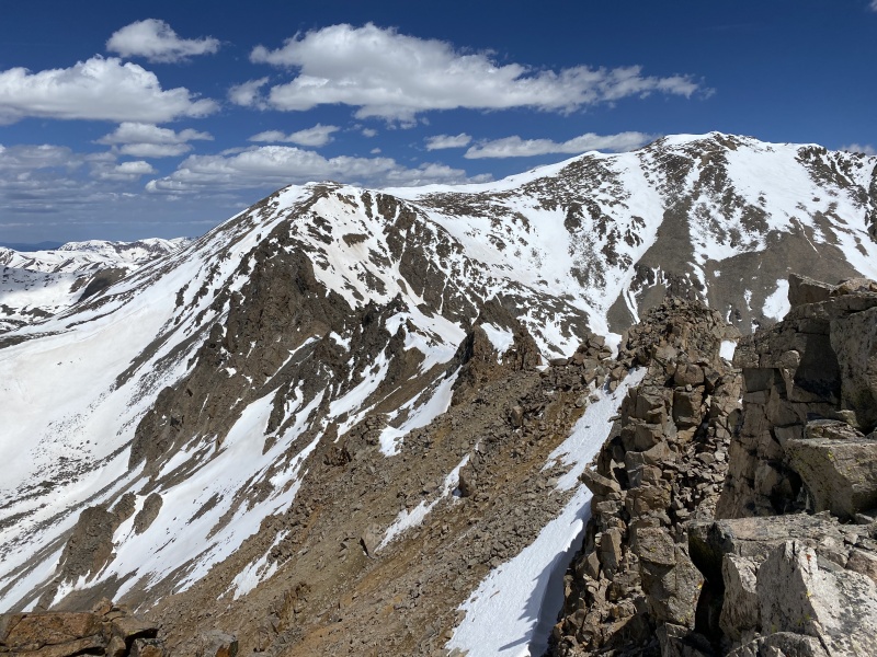

On the descent, I stayed on the east side of the creek and about 100' above it, following a series of game trails down until I popped back out at my car. I packed it up and drove home, watching I-70 westbound getting more and more backed up as the holiday weekend got started (I took Friday and Tuesday off for my climbing days rather than deal with the traffic of the actual long weekend). I hope this fun little route is helpful to someone later this spring or in a future spring. Thanks for reading. Thumbnails for uploaded photos (click to open slideshow): ")
")
")
")
")
")
")
")
")
")
")
")
")
|
| Comments or Questions | ||||||
|---|---|---|---|---|---|---|
|
Caution: The information contained in this report may not be accurate and should not be the only resource used in preparation for your climb. Failure to have the necessary experience, physical conditioning, supplies or equipment can result in injury or death. 14ers.com and the author(s) of this report provide no warranties, either express or implied, that the information provided is accurate or reliable. By using the information provided, you agree to indemnify and hold harmless 14ers.com and the report author(s) with respect to any claims and demands against them, including any attorney fees and expenses. Please read the 14ers.com Safety and Disclaimer pages for more information.
Please respect private property: 14ers.com supports the rights of private landowners to determine how and by whom their land will be used. In Colorado, it is your responsibility to determine if land is private and to obtain the appropriate permission before entering the property.