| Report Type | Full |
| Peak(s) |
Uncompahgre Peak - 14,318 feet Handies Peak - 14,058 feet Whitecross Mountain - 13,553 feet |
| Date Posted | 05/25/2021 |
| Date Climbed | 05/22/2021 |
| Author | VeraUndertow |
| Late May powder days in Lake City |
|---|
|
Day 0: Planning and travel It's a rare occurrence for me to get two days off in a row, working at a grocery store, so when it occurs it's basically a long weekend for me, and that means a trip to the San Juan if possible. With the slightly more than two weeks of lead time from when my schedule posts, till my days off, I was habitually checking the weather, and the avy report and generally liking what I was seeing, with good freeze/thaw cycles most days and the report trending to green and greener. About a week out the weather forecast looked great, with medium wind predicted but otherwise no major weather, of course Colorado has a way of changing weather at the drop off a hat and 4 days out the forecast started looking worse, with higher winds 45-50 mph and several inches of snow Friday night predicted. This sent me scrambling to try to find a plan B, so I looked up weather for the Sawatch, Elks and Sangre 14ers I have left to climb as well as a bunch of 13ers I want to ski and ultimately they all had high winds and some were predicting poorer overnight freezes so I came back to my original plan. My goal was to climb Uncompaghre and Handies to finish up the 14ers accessed from Lake City area, and hopefully get a summit ski descent off of Handies, since it seemed to still be in based on loose beta and pictures I had seen semi recently. On Thursday the weather report changed again this time in my favor, 6+ inches of snow and the wind speeds were slightly lower, and coming from the south, this gave me a sliver of hope that the notoriously difficult to get in condition, Uncompaghre peak may be "skiable" from the summit. On Friday I loaded up my truck with my skis, boots, mountaineering bag and camping supplies, before heading to work my close shift. I was very stoked when we finished cleaning my department early and I was out the door at 10:20 PM ready for my 5+ hour drive across the state. I only stopped twice, once to use the bathroom at the collegiate peaks overlook on 285 heading to BV and once to get gas in Gunnison (way cheaper than lake city). I pulled onto the dirt road of engineer pass at 3:10 AM and began making my way towards Nellie Creek RD, another user had posted a semi recent trip report saying the road was clear to at least the first creek crossing so that was my goal. They had also found a boot I had lost when I hauled camp up near the upper trail head in February, and left it hanging on the lower TH, thank you for that, it's still in good condition so I'm sure I'll wear it again. After grabbing my boot, I headed up the Nellie Creek Rd, which is rough and rocky with several small Aspen trees down across it, but honestly wasn't as bad as I was expecting based on previous descriptions I had read. I drove across the first creek crossing and pulled into the first parking spot immediately after the creek at 3:45 AM and reclined the seat in my truck for a much needed hour of sleep. Day 1: Uncompaghre Peak (14309') I woke up all to soon after falling asleep to the sound of my alarm at 4:45 AM, still totally exhausted and looked out the window to see it was raining on me, so I used this as an excuse to snooze my alarm for 10 minutes. 10 minutes later my phone is twinkling the alarm telling me it's time to get ready, and those extra minutes of sleep had me totally refreshed, just kidding, I was still tired, but at least it had stopped raining so I knew I had to start moving to make my weather window work. I got dressed and ate a packet of oatmeal with room temperature water, which is atrocious, but I was too lazy to set up my stove and boil water, so I forced it down. I loaded my skis and boots onto my bag, choosing to start my hike in my much more comfortable approach shoes, knowing I still had 1.4 miles of road to walk. I started moving at 5:30 AM, about 15 minutes later than I planned, the road was mostly firm wet soil with some muddy spots and puddles, till I reached the last hairpin before the second creek crossing, where the road turns into a north aspect, which was still holding a descent amount of snow. I cursed myself for not attempting to drive farther up the road, since I really could have saved .6 miles and 400 ft of elevation gain, but ultimately I am here for human powered ascents and this is just the early morning internal dialogue of a very tired person. The snow banks here were mostly easy to avoid by walking on the right side of the road until the last two, where I had to posthole up to my knees thru them. The creek crossing was easy enough with a perfect log bridge just upstream of the road. 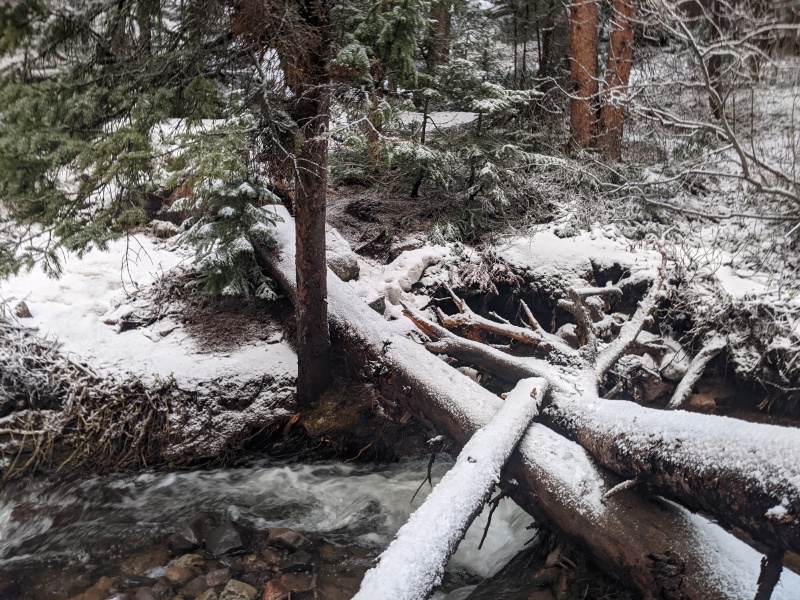
From here the road switches back to a southern aspect and was almost entirely free of snow until it enters the trees a quarter mile from the upper TH. The snow in the trees was a mix of supportive snow and ankle to shin deep postholes, but nothing to serious and I didn't even think about putting ski boots on yet as the ground was mostly earth with only patches of snow. From the outhouse onward the trail looked to be more continuous snow thanks to the fresh from the recent storm, so I checked the outhouse door, which was open and took the opportunity of shelter to switch to my ski boots, since it had started snowing lightly on me. 
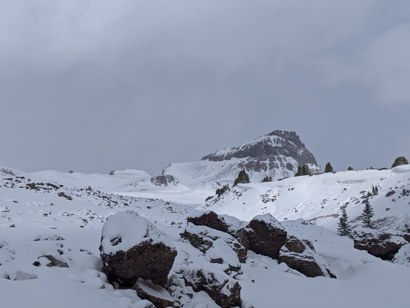
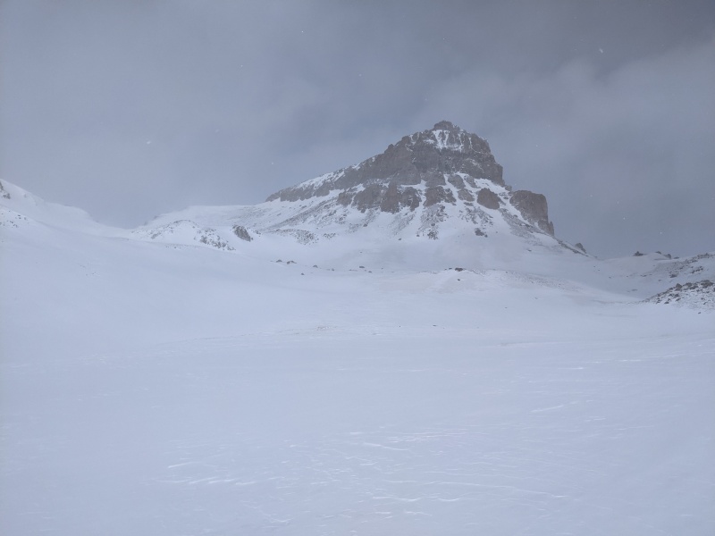
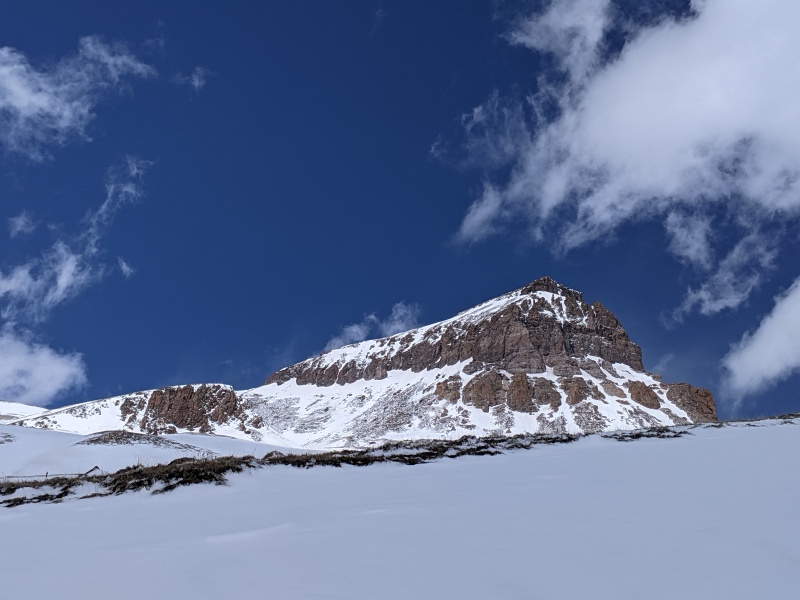
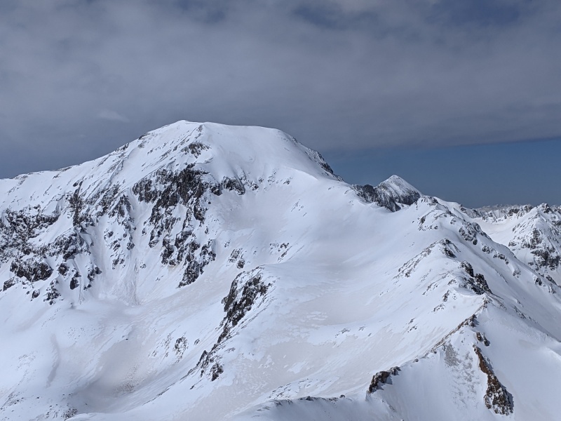
From here I skinned up the trail into the upper Nellie Creek drainage, I got my first good views of Uncompaghre this trip, a peak which has always fascinated me, it looked extremely beautiful half covered in snow with the massive cliff bands jutting above the basin. As I approached the east slopes, the weather was switching from beautiful blue skies, to snowy, windy, almost white outs every 10-15 minutes or so. The dramatic, and moody skies kept me entertained as I slowly made my way up towards the south ridge. 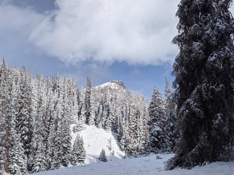
Around 13,000ft I had finally reached the elevation of the storm clouds, and was engulfed in whiteness as I stopped to put on my wind shell, thicker gloves and googles. White outs with high winds may be my least favorite conditions to climb in, and I was worried this one wouldn't pass, since I had no perspective of where I was, luckily it dissipated as I gained elevation on the snowy east slopes heading towards the south ridge. 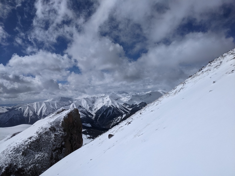
I had to put 6-8 kick turns in to gain the last 250ft toward the ridge but was able to skin up the whole way, despite the cold hard snow, it seemed the fresh powder snow had all been blown off this wind exposed south ridge near the top. After I crossed over to the west side of the ridge, the steep slope was mostly rocky with bulletproof snow and ice so I opted to switch over to boot crampons to traverse towards a gully to ascend to the summit plateau. 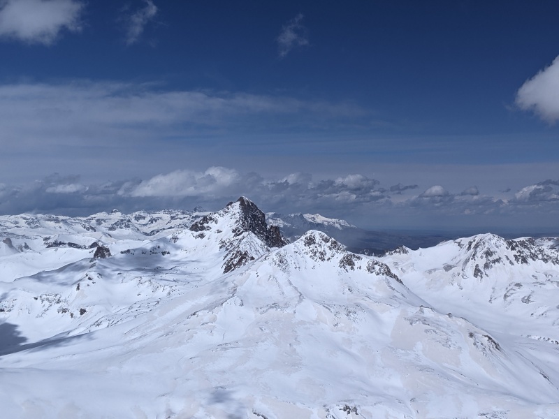
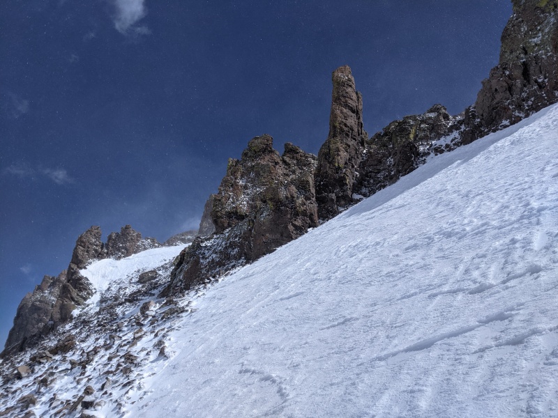
I was pretty sure at this point a ski descent from the summit was off the table, but I carried my skis with me, partially to keep them from getting blown away by the now ferocious winds, and partially because I am an optimist. I chose to climb the second gully I got to, which is not the standard route gully, but I just wanted to get out of the wind for a second and it didn't look harder than a class 3 mix of loose wind blown snow and rock. Climbing the short gully, took maybe 10 minutes maximum, before I was deposited 50 feet from the summer trail on a very wind blown summit plateau. 
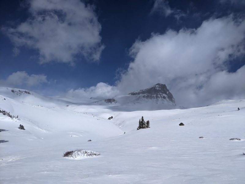
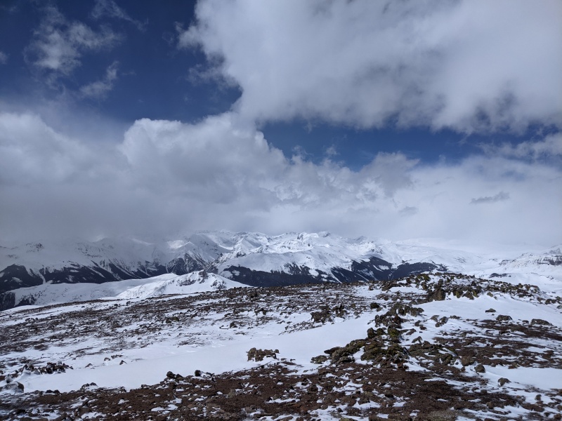
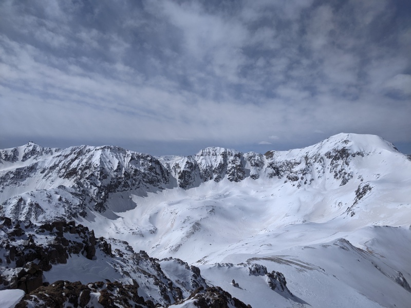
At this point the wind picked back up with a vengeance, with my skis acting as sails, I was getting pushed around quite a bit, but the terrain is very easy to navigate and a fall wouldn't send me rolling so I made good time and kept moving upwards to the true summit. I was glad that the timing worked out with the cloud cover so I could see the surrounding area quite well, while I was up on the summit. I snapped a few quick pictures, and headed over towards the west side of the broad summit to get better views of Wetterhorn, which is simply stunning with snow covering it's south east face, as I descended back down towards the gullys. 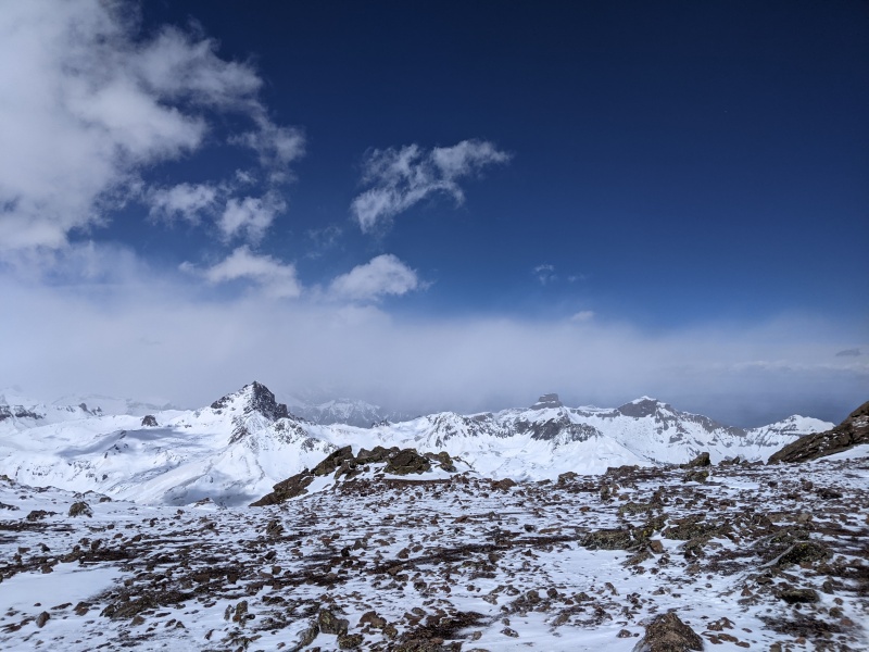
  On the way down I descended what I believe is the gully used in the standard route, described on this site. I was stoked, because it had a band of styrofoam texture snow, perfect for french technique with crampons, and much easier than descending the loose rocks that the gully I ascended had been composed of. 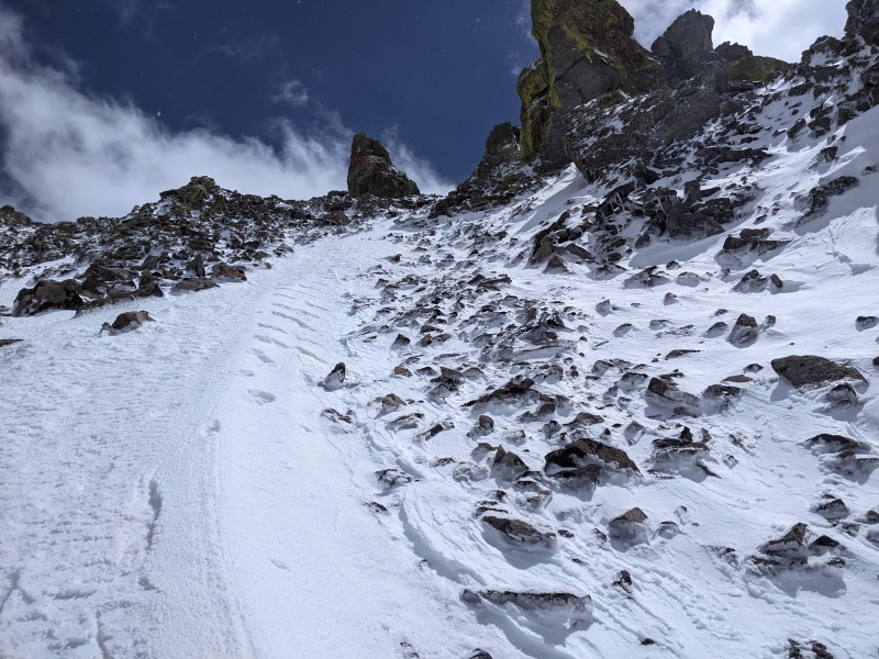
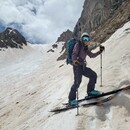
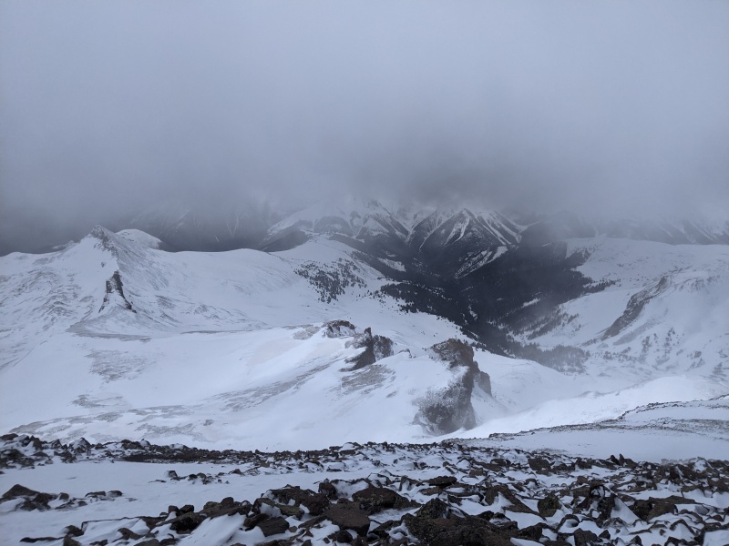
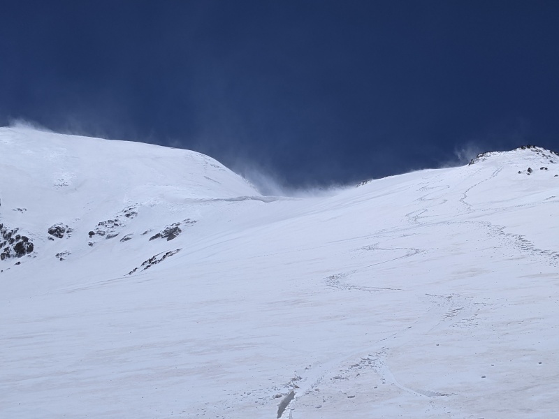
This left me with a short traverse, straight into the wind to regain the south ridge, where I could transition to skiing down the east slope and out the drainage. It was before noon, and my goal was too be off the peak and below tree line by 2 since the weather was calling for electrical activity starting at 3, so I was happy to be on schedule for that. As I went to step into my first ski, the wind blew a serious gust, that knocked me over and sent my ski shooting down the rocky west slope, F***! I quickly dropped my pack and tucked it and my other ski against a rock so they wouldn't blow away and put my ski boots into walk mode before running after my run away ski. I was shocked and very happy to see it had flipped and stopped only 100 feet or so below me instead of ending up a mile away. Whew, that was a close call, made it back up to the snow and got ready to ski again, this time attaching the leashes to my boots before stepping into the skis, just in case. I started skiing as the sun opened up on the slope and tried my best to avoid the sharks on the upper slope but hit one or two, before making it to the dense (for CO) fresh powder down below. The skiing was great, and I wished I had brought my 106 waist skis instead of my 88s as I could have used more float. 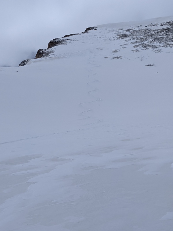
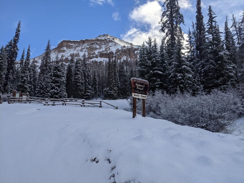
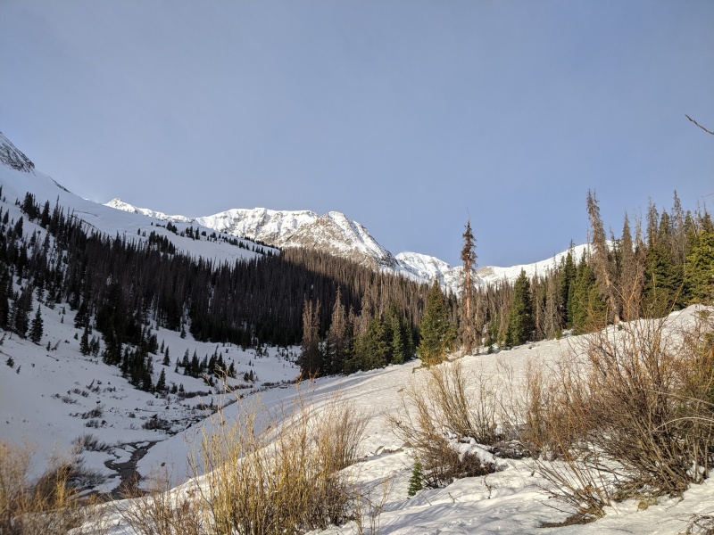
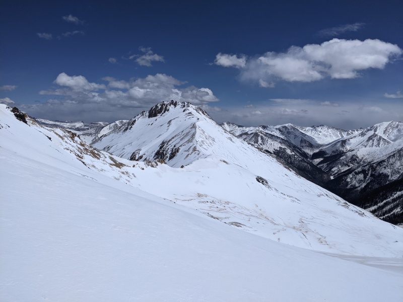
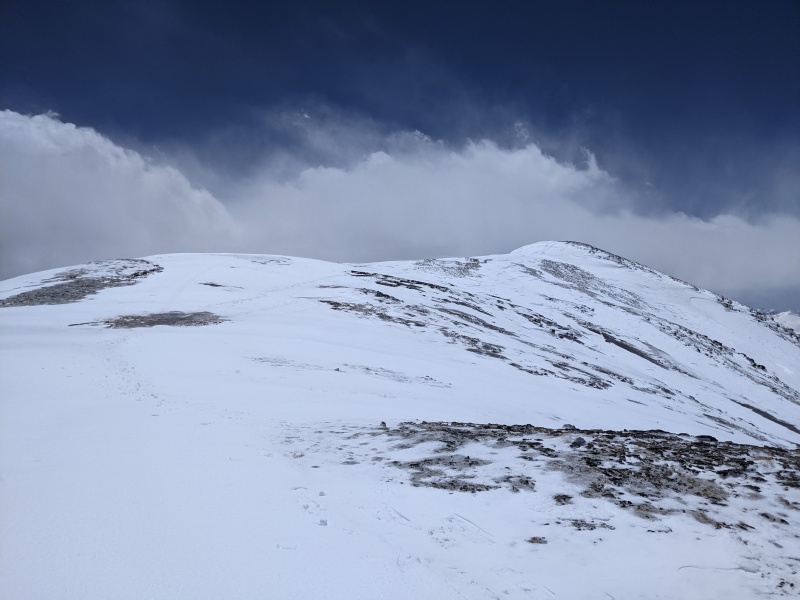
I made great turns and had a blast on the variable wind blown corn and wind loaded warm powder, down Nellie creek drainage to around 12,100 feet where the snow was wet and the new snow was non-cohesive with the older snow, as I tried to make a turn the new snow slid out leaving the browner old snow. I was very glad in this moment to be on a 20 degree slope not a 35 degree one, as I'm sure that slide would have turned into a loose wet slide if gravity was on it's side. I carefully made my way back down the rest of the drainage, seeing a few big rollerballs before getting back to the now almost entirely melted out trail. From here I put my skis on my back and started booting thru the slush and mud back to the upper trailhead and the road beyond that. The road was mostly uneventful, despite a few postholes and some more rockfall I hadn't seen on the way up. I made it back down to my truck around 2 PM and got dressed in street clothes and headed down to Lake City to spend a few hours eating and checking the weather and Avy forecast updates before heading up to Cinnamon Pass road to Grizzly Gulch Trailhead, where I quickly set up camp before the lightning storm rolled thru at 4:15 pm. By 5 I was passed out, as the sound of rain and thunder, combined with the lack of sleep quickly overcame my desire to enjoy my surroundings. I made sure to set my alarm for 4:30 AM before falling asleep as I had a feeling I would be asleep for a while… Day 2: Whitecross (13542') and Handies (14048') I woke up to the twinkle of my alarm at 4:30 and this time did not hit snooze, feeling actually rested after my 11+ hours of sleep. I was struggling to get moving however since it must have been right around freezing when I awoke, and it was cozy in my sleeping bag. Some snow/graupel mix was on the ground around my tent when I looked outside and this gave me a little hope for more fresh snow up high today, so I made the decision to bring my big skis for today's mission, since they are way better on variable snow and I wasn't planning on skiing anything too technical or narrow. I shouldered my heavy pack and started up the decently steep trail into grizzly gulch around 5 AM, eyeing whitecross to see if I saw a more logical route up to the ridge than hiking/skinning up well into the basin to gain the west ridge of whitecross and traversing back. Looking at my topo map the night before I had seen a south facing gully that looked promising if it was holding snow, and sure enough it was. 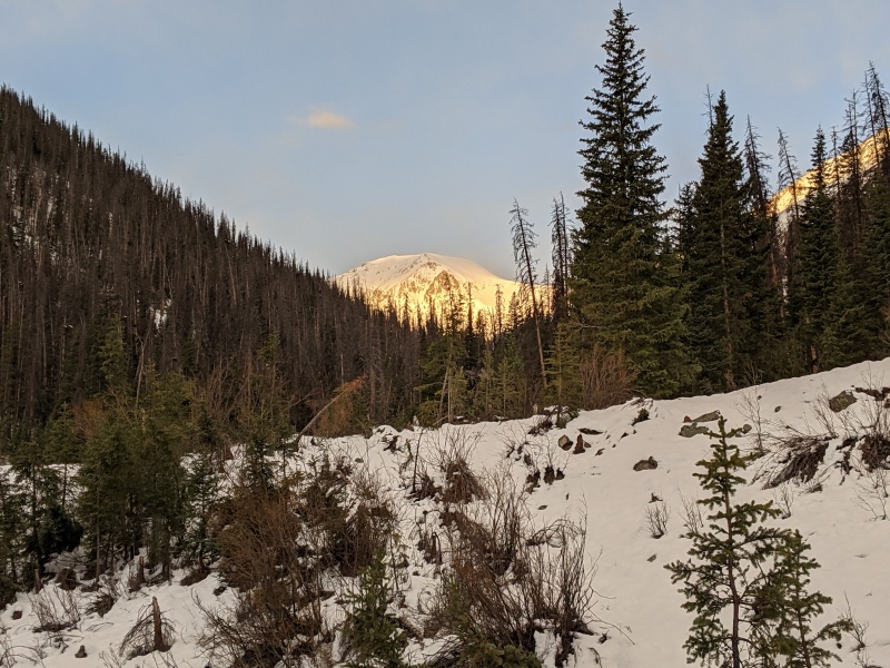
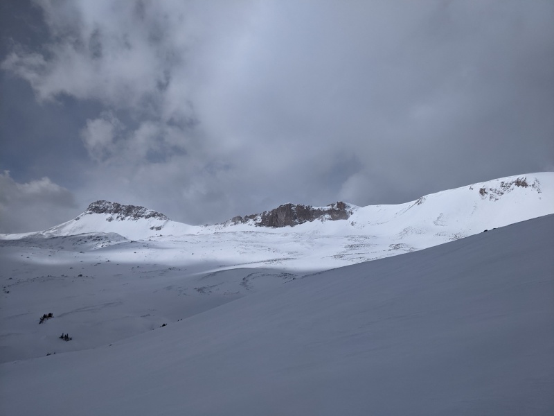
After I crossed the avalanche clearing from a much steeper and more narrow gully, which was mostly rocky, and thru the next patch of forest I switched from skinning to boot crampons around 11,800' and headed up the south slope in a westerly direction to gain the bottom of the gully, which was indeed holding snow. This gully is a very direct route up whitecross and and tops out at 13,375 feet. 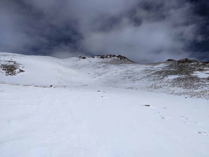
The snow was pretty good for climbing with my boots usually sinking to the top of my foot on softish styrofoam snow. This gully hangs out right around 30 degrees the whole way up so I felt comfortable climbing with a whippet in one hand and regular ski pole in the other, but if the snow was bulletproof I definitely would have had my ice axe out. Once I topped out on the ridge, the wind started whipping by me, and I put on goggles before heading the last 200' of vertical towards the summit, which is an isolated little point just north of the main ridge, connected by a narrow band of snow that had steepish snow slopes dropping off either direction and the wind was gusting quite hard across this area. 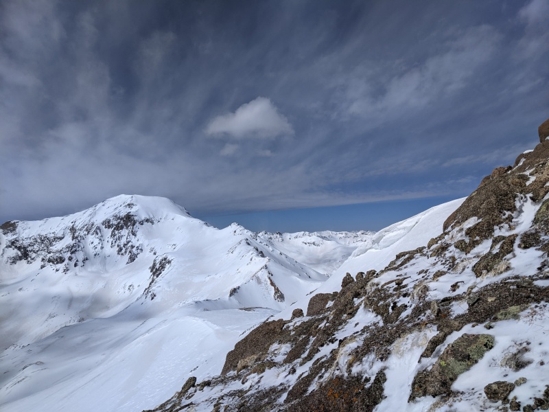
I hesitated for a second, and waited for the gusts to taper off before quickly heading across to the true summit, to snap a few pictures and then tucked behind the summit to get ready to ski. 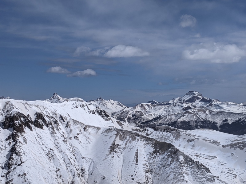
I dropped cautiously down to the ridge, before heading generally south east towards the Handies east slopes trail, aiming to meet up around 12,500 ft for my 1,000 ft descent. Two snowshoers had passed below me as I started up the gully, and their tracks gave me something visible to aim for in the distance. The skiing on this run was firm but supportable crust up high and breakable crust below, definitely not the ideal ski conditions, but I had a decent time putting in turns on the variable and slightly challenging conditions. If I was only skiing this peak and not trying to link Handies I could have waited for some solar warming and the snow may have been a little more forgiving, I also would have skied down the gully I ascended which had some soft cold wind blown snow, or a south west line that dropped into American basin right off the summit as well. Anyways, skiing as a form of transportation as I was, I managed to ski within 100 yards of the tracks before switching back to skinning at around 12,550 ft and I was heading back upwards around 10:30 AM or so. 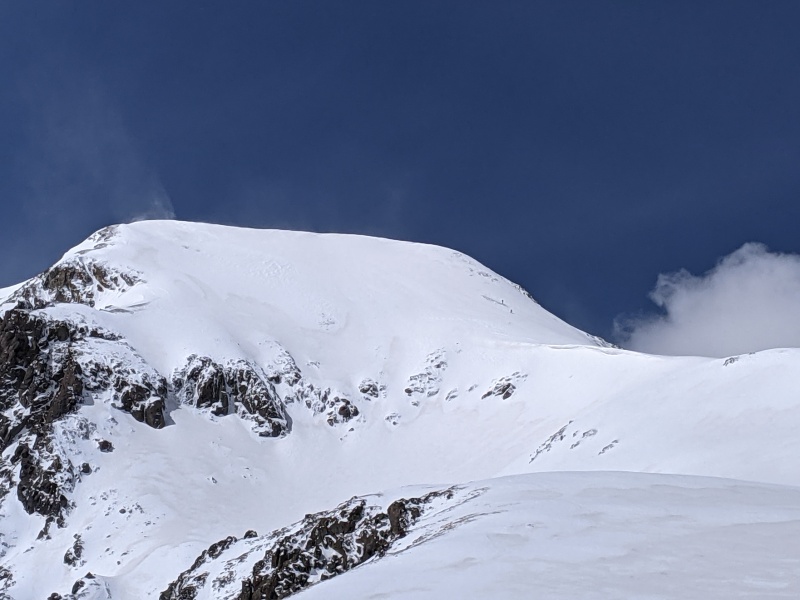
I briefly linked up with the snowshoers tracks who were on the east ridge around 13,600 feet at this point, and skinned up into the basin below Handies east face, the snowshoers had gained the ridge significantly earlier than made sense to me, and went up and over a rocky outcrop that seems to be ~13,565' tall so I left their track and followed much closer to the summer trail as marked on caltopo, following the contours to make my ascent angle less than 30 degree angle to avoid kick turns as long as possible. I ended up putting 2 or 3 big switchbacks on to gain the ridge around 13,600' and the snowshoers were right back at this point by now. We stopped and chatted for a minute before I continued onwards, not wanting to miss premium snow conditions on the way down. The skin up the ridge went quickly as it gradually slopes upwards till I reached 13,850' and I had to put in 8 or 9 kick turns to make it up onto the final gradual summit ridge. I was appreciative of the soft and deep snow on this steep section as it allowed me to comfortably skin quickly without worrying about losing my edge and sliding downwards. 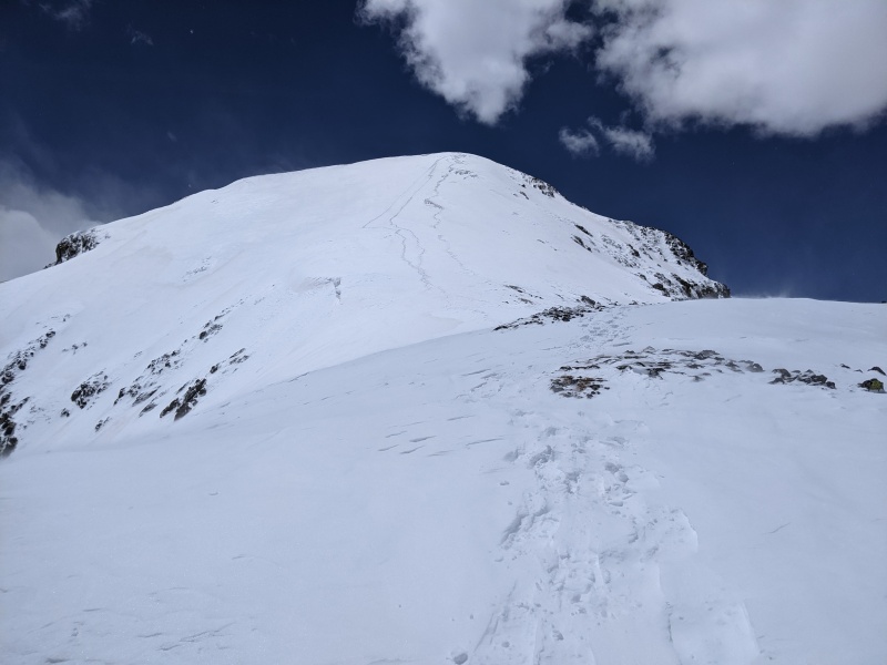
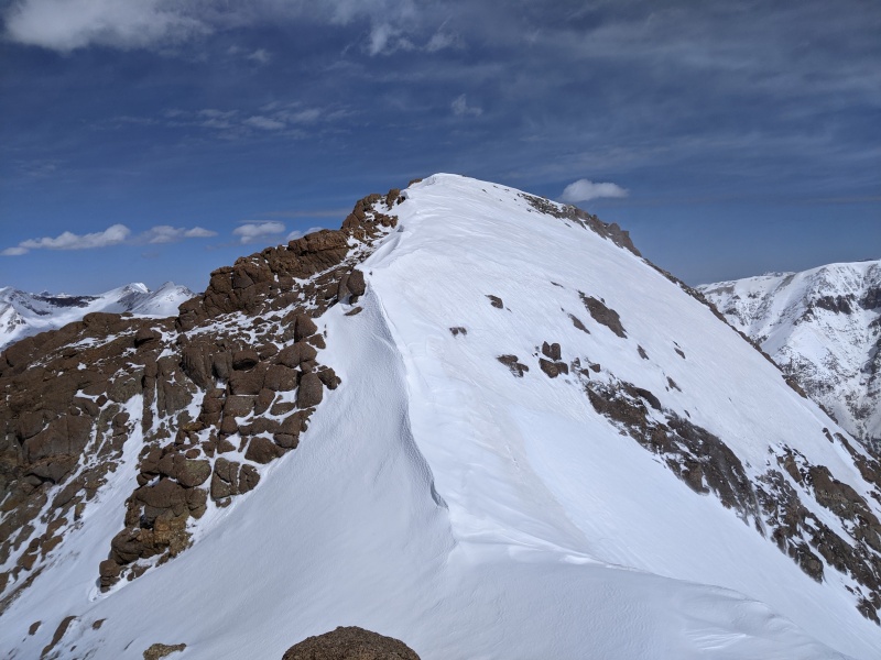
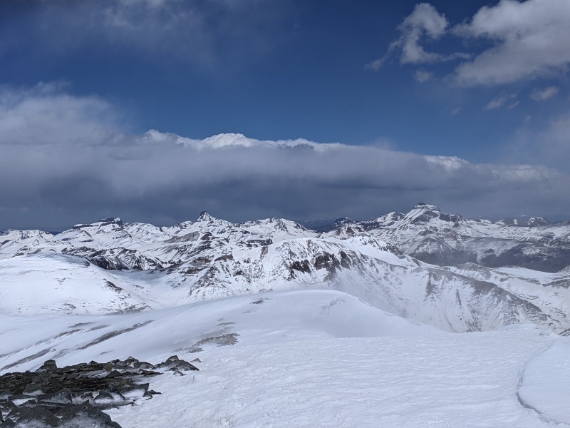
The final skin across the summit ridge was very windy, and painful as small grains of snow and ice blasted my face on the very small bit of exposed skin below my glasses and above my buff. I made the summit around 12:30 PM which was only half an hour after I was hoping to be here. Again the wind was brutal so I didn't hang out for too long but definitely took a little longer here to appreciate the views and take pictures before transitioning to skiing and heading back down the ridge to my line on the east face. 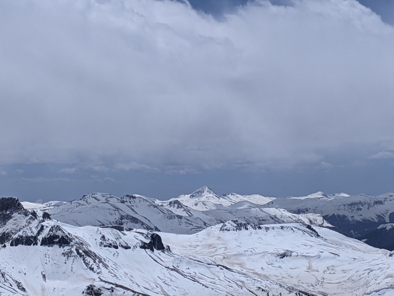
I was stoked with how good the coverage was on the summit ridge, saving me the usual antics and shenanigans to get a line in from the true summit! When I got to near I gained the summit ridge on the way up, I dropped into the face, staying close to my ascent line since I was familiar with the snow here and it had the least potential to slide. The snow had not formed any wind slabs yet, but had a thin wind crust in spots and some really nice cold powder for most of the way down to 13,600 ft where I gained the ridge on the way up. Once I dropped down into the bowl the snow was perfect corn and I was having so much fun I started skiing faster than I normally do in the backcountry, at least until I hit the brown snow that had warmed up significantly faster and sunk in way farther than I was expecting and ate it face first pretty hard, cracking the frame on my glasses. This was annoying, but I knew I had been carrying around a back up pair for the past year for a reason and at least I hadn't seriously hurt myself. At least I stopped in a great spot to snap a picture of my turns, before heading down the rest of the way to the trail, trying to stay on the clean white snow as much as possible since the brown snow was super soft mashed taters and the white snow was still corn. 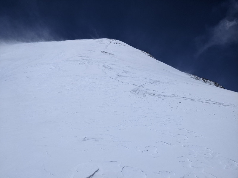
I was able to make nice turns on the corny white snow and careful slushy turns in the brown sun heated garbage till around 11,800 ft by traversing as high as possible in the continuous snow bands to the bottom of the gully I had climbed on Whitecross earlier that day. Now just to slog the rest of the way thru mushy, melts snow to the dry trail. At first I put skins on to try to aid floatation thru the higher trees that were still holding snow and once I got lower I was able to walk easily with boots at first before switching to my approach shoes for the last .8 miles back to the TH. 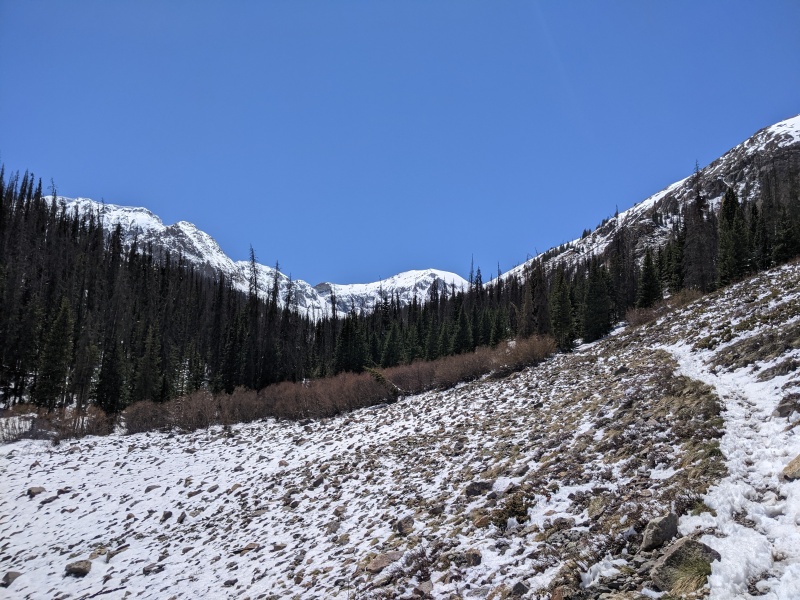
As I sat in the sun and put my shoes on I felt a wave of exhaustion, hunger, and nausea come over me and I was glad to be very close to "home base" since I knew my blood sugar was low and I hadn't eaten enough over the past two days and trail snacks I had with me weren't gonna cut it right now since I had eaten all the palatable ones for how I felt in that moment. I drank the last sip of water I had with me and pushed forward making it out of the forest to the wilderness register in about 25 minutes. The second I got to my truck I set down my bag and started eating some chips and finishing my Yerba Mate from this morning. I felt better instantly and someone parked across the way hollered to me about beta on the route, so I walked over and chatted with Kevin and Alison for a while about my day and their climb and ski of Redcloud and ski mountaineering and life in general, they were both really dope people so we exchanged numbers in hopes of getting out sometime soon to ski some fun lines before peak ski season ends. They ended up skiing Handies the next day also, but said the upper section was punchy crust up high and great corn snow down low. Anyways now all I had to do was drive back to Arvada, so I began the long drive, but first I had to make it down the sketchy shelf road section before the road mellows out lower down. Once I made it back to down town Lake City it was mostly just trying to stay awake for the long and now familiar drive, as I reflected on this awesome trip and the stoke of my first multi peak ski day and finally getting Uncompaghre and Handies to finish up my Lake City access 14ers. Stoked Thumbnails for uploaded photos (click to open slideshow): ")
")
")
")
")
")
")
")
")
")
")
")
")
")
")
")
")
")
")
")
")
")
")
")
")
")
")
")
")
")
")
")
")
")
")
|
| Comments or Questions | ||||||||||||
|---|---|---|---|---|---|---|---|---|---|---|---|---|
|
Caution: The information contained in this report may not be accurate and should not be the only resource used in preparation for your climb. Failure to have the necessary experience, physical conditioning, supplies or equipment can result in injury or death. 14ers.com and the author(s) of this report provide no warranties, either express or implied, that the information provided is accurate or reliable. By using the information provided, you agree to indemnify and hold harmless 14ers.com and the report author(s) with respect to any claims and demands against them, including any attorney fees and expenses. Please read the 14ers.com Safety and Disclaimer pages for more information.
Please respect private property: 14ers.com supports the rights of private landowners to determine how and by whom their land will be used. In Colorado, it is your responsibility to determine if land is private and to obtain the appropriate permission before entering the property.