Download Agreement, Release, and Acknowledgement of Risk:
You (the person requesting this file download) fully understand mountain climbing ("Activity") involves risks and dangers of serious bodily injury, including permanent disability, paralysis, and death ("Risks") and you fully accept and assume all such risks and all responsibility for losses, costs, and damages you incur as a result of your participation in this Activity.
You acknowledge that information in the file you have chosen to download may not be accurate and may contain errors. You agree to assume all risks when using this information and agree to release and discharge 14ers.com, 14ers Inc. and the author(s) of such information (collectively, the "Released Parties").
You hereby discharge the Released Parties from all damages, actions, claims and liabilities of any nature, specifically including, but not limited to, damages, actions, claims and liabilities arising from or related to the negligence of the Released Parties. You further agree to indemnify, hold harmless and defend 14ers.com, 14ers Inc. and each of the other Released Parties from and against any loss, damage, liability and expense, including costs and attorney fees, incurred by 14ers.com, 14ers Inc. or any of the other Released Parties as a result of you using information provided on the 14ers.com or 14ers Inc. websites.
You have read this agreement, fully understand its terms and intend it to be a complete and unconditional release of all liability to the greatest extent allowed by law and agree that if any portion of this agreement is held to be invalid the balance, notwithstanding, shall continue in full force and effect.
By clicking "OK" you agree to these terms. If you DO NOT agree, click "Cancel"...
I was done with chasing lists in 2019 after the tricentennials but happy to do repeats that helped my son (Randy) complete the bicentennials in Sept. 2020. Now we had the obvious question: Where do we go from here?
After giving it some thought over the winter, we decided to mainly target random 13ers that neither of us had visited previously, with a few 13er and 14er repeats thrown in for fun. Three peaks from Loveland Pass seemed like a good place to start.
Campsites are nonexistent near Loveland Pass, but we'd found an acceptable parking area to spend Saturday night not too far above A-Basin ski area. Several other people spent the night there as well.
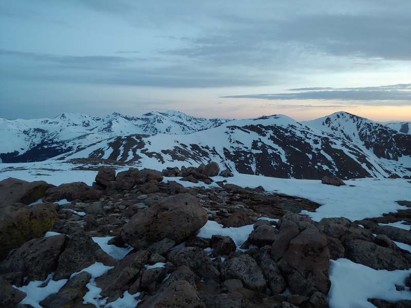
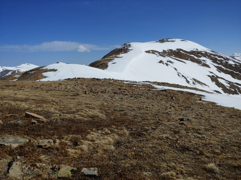
The next morning, we drove to Loveland Pass and ate breakfast there before heading east up the trail toward Point 12,915'. Once there, we turned south toward "Cupid." The terrain here is quite gentle and only part of the ridge on the way to "Cupid" was snow-covered.
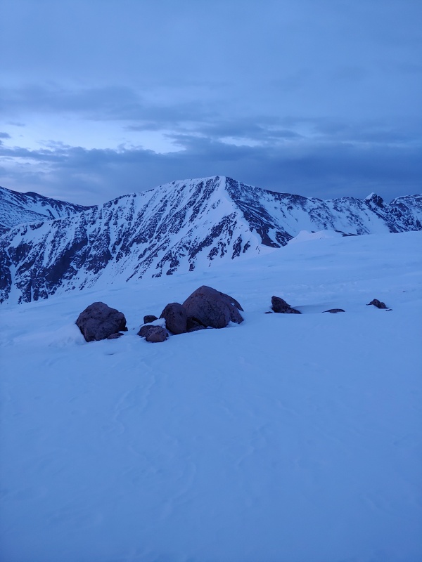
Grizzly Peak D from the summit of "Cupid" (13,117'); it's a bit dark because the photo was taken at 5:25 AM
Mt Sniktau (right) from the summit of "Cupid"
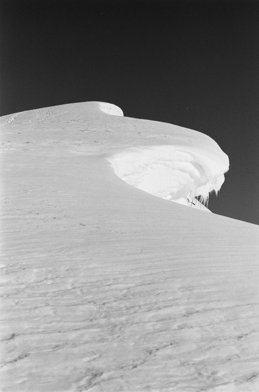
The most interesting part of the day was between "Cupid" and Grizzly Peak D. Having microspikes and ice axes made us feel more secure on a couple of steeper sections along this part of the ridge. There was also a cornice that we (and others) made sure to avoid.
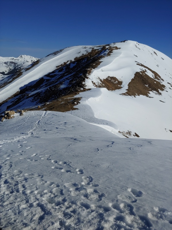
Watch out for that cornice! Taken from just below the 12,936' high point between Grizzly Peak D and "Cupid"
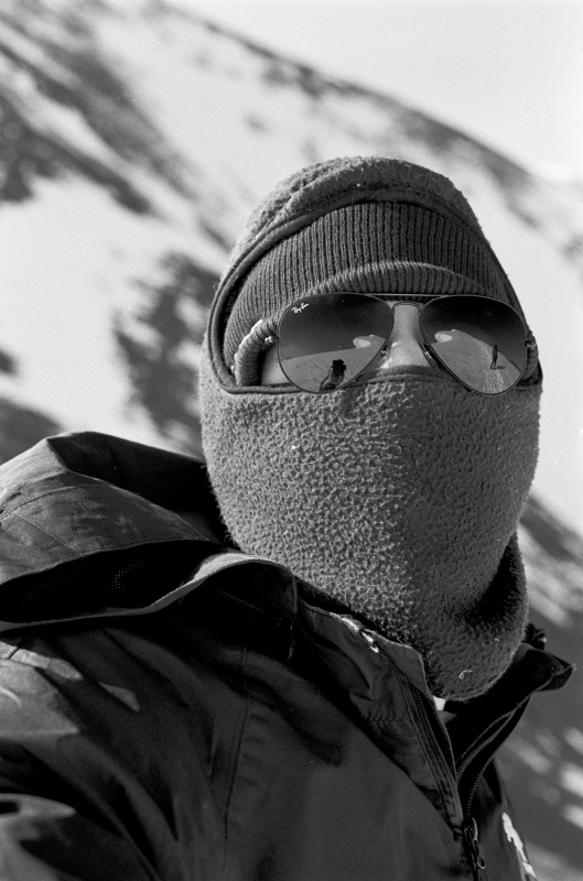
Randy from the same location as the previous photo (note the reflections in the sunglasses)
A closer look at the cornice.
"Cupid" from the 12,936' high point between it and Grizzly Peak D
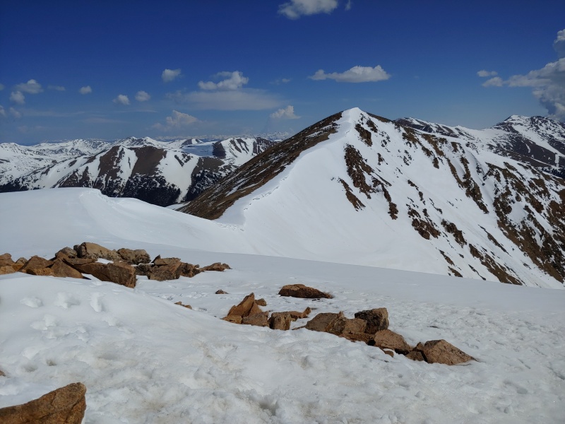
We took a break on the summit of Grizzly Peak D (13,427') and enjoyed the scenery in all directions. It wasn't long before a couple more climbers arrived.
Looking back at "Cupid" from the summit of Grizzly Peak D
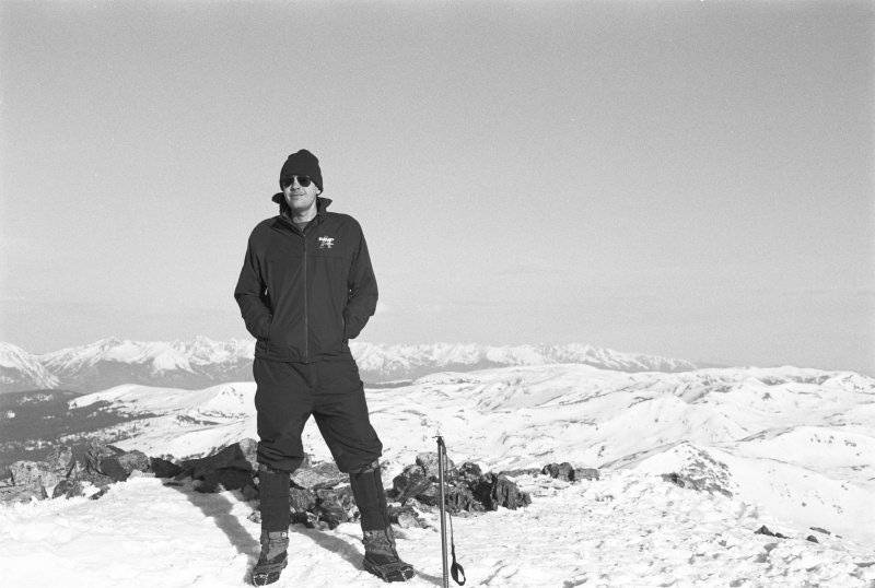
Randy (shown here on the summit of Grizzly Peak D) took all the photos in the trip report except this one.
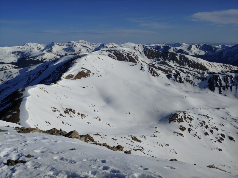
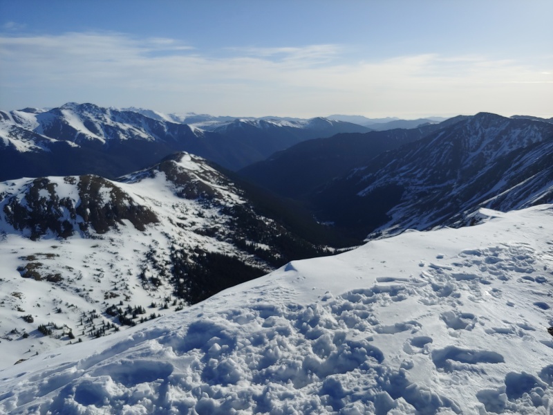
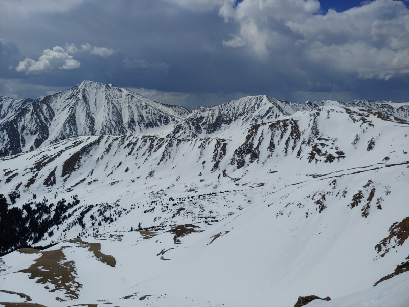
The rugged ridge to Lenawee Mtn. (13,204') from the summit of Grizzly Peak D
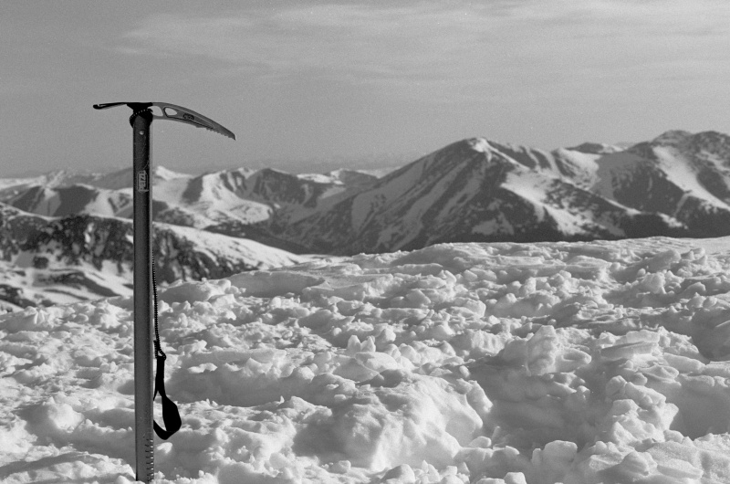
Randy's ice axe poses for a photo on the summit of Grizzly Peak D
Looking northeast from the summit of Grizzly Peak D
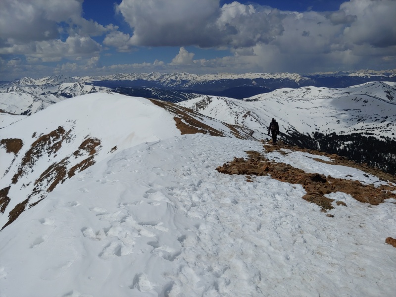
We returned to "Cupid" and continued over Point 12,915' toward Mt. Sniktau.
Looking back toward "Cupid" from near Point 12,915'; this was one of the least snowy sections of the ridge
Almost to the top of a 13,152' ridge bump on the south ridge of Mt. Sniktau; it's not very snowy here, either.
Looking north toward Mt. Sniktau from the 13,152' ridge bump on its south ridge
When we reached the summit of Mt. Sniktau (13,234'), we were surprised to have it all to ourselves.
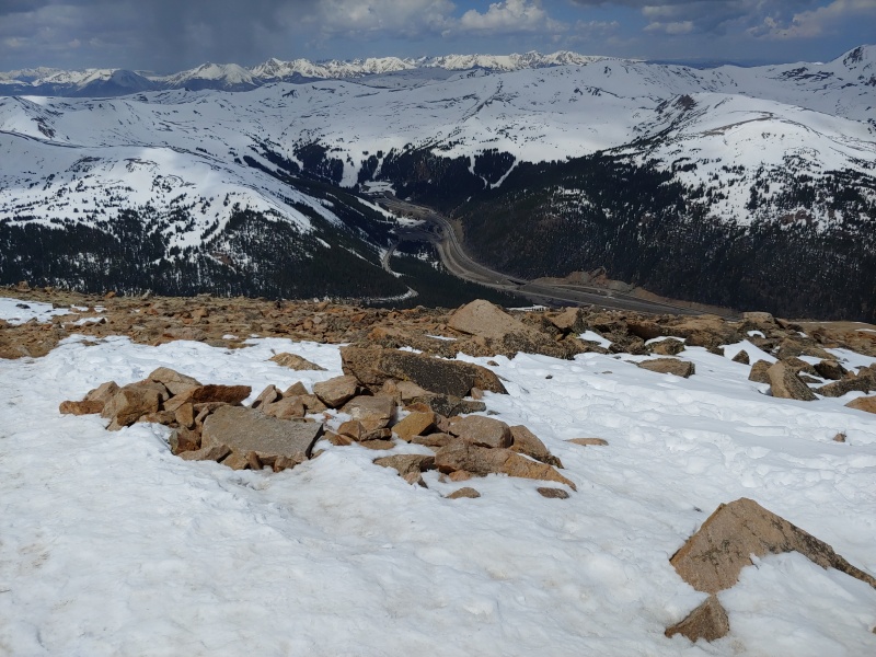
Looking north from the summit of Mt. Sniktau with I-70 visible just east of the Eisenhower Tunnel (the highest point on the interstate highway system)
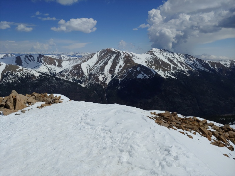
Mt. Parnassus (13,574') and Bard Peak (13,641') from the summit of Mt. Sniktau
Looking south from the summit of Mt. Sniktau toward the 13,152' ridge bump
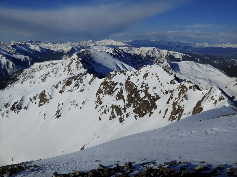
Torreys Peak (14,267') and Grizzly Peak D from the summit of Mt. Sniktau
On the way back to Loveland Pass, we bypassed the 13,152' ridge bump on its north side. The descent went quickly, and soon we were at the trailhead. There were very few vacant parking spaces, and we were glad we'd arrived early. Today's three peaks were fun, and we highly recommend them for your early-season climbing needs.
Thumbnails for uploaded photos (click to open slideshow):
Anywhere you like, Eddie. Glad to see you and Randy are still chasing it and redefining what it is.
Caution: The information contained in this report may not be accurate and should not be the only resource used in preparation for your climb. Failure to have the necessary experience, physical conditioning, supplies or equipment can result in injury or death. 14ers.com and the author(s) of this report provide no warranties, either express or implied, that the information provided is accurate or reliable. By using the information provided, you agree to indemnify and hold harmless 14ers.com and the report author(s) with respect to any claims and demands against them, including any attorney fees and expenses. Please read the 14ers.com Safety and Disclaimer pages for more information.
Please respect private property: 14ers.com supports the rights of private landowners to determine how and by whom their land will be used. In Colorado, it is your responsibility to determine if land is private and to obtain the appropriate permission before entering the property.

")
")
")
")
")
")
")
")
")
")
")
")
")
")
")
")
")
")


