| Report Type | Full |
| Peak(s) |
Mt. Bancroft - 13,262 feet Parry Peak - 13,367 feet Mt. Eva - 13,131 feet |
| Date Posted | 05/20/2021 |
| Modified | 05/21/2021 |
| Date Climbed | 11/20/2020 |
| Author | Anima |
| The Calm Before the Storm: Enjoying Summits in the James Peak Wilderness Area |
|---|
|
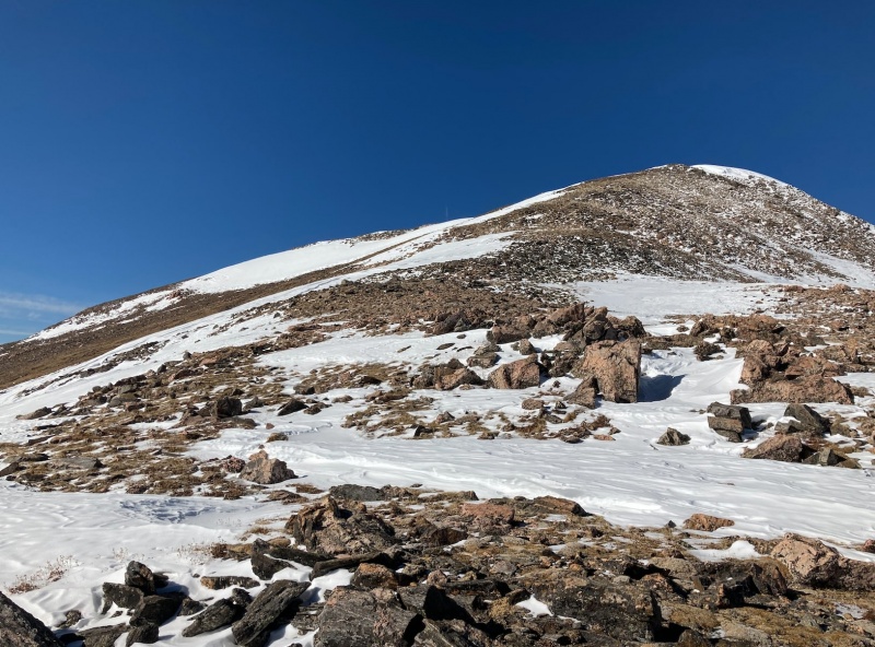
Date: November 22, 2020 Trailhead: Steuart Road Winter Closure Distance: 10.1 miles Elevation Gain: 4,200ft With another storm bearing down on Colorado, it was time to get in a few peaks before any substantial snow accumulation. After much deliberation, I settled on grabbing a few peaks close to home in the James Peak Wilderness area. Growing up in Colorado, I always saw James Peak and its southern neighbors while driving up I70. These distant giants always brought me curiosity, and I figured it was time to finally check them out. After climbing James Peak twice, visiting the neighboring summits was mandatory. I arrived at the winter closure of Steuart Road just outside of Saint Mary’s Alice just before 8 am. The first two miles leading up to the Loch went quickly where I arrived at 8:45 am. Once at the Loch, I continued following the road southwest up the first headwall where it made a sharp turn. I continued to follow the road, bearing southwest (left) at the junction above the headwall which brought me to the beginning of the southeast ridge of Mt. Bancroft. 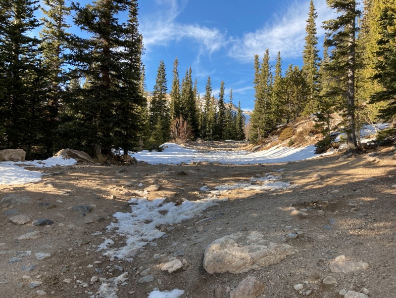
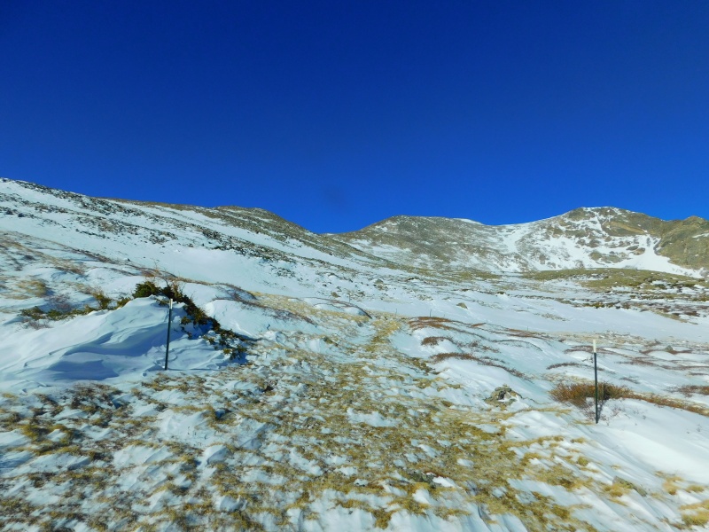
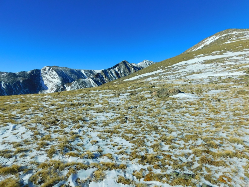
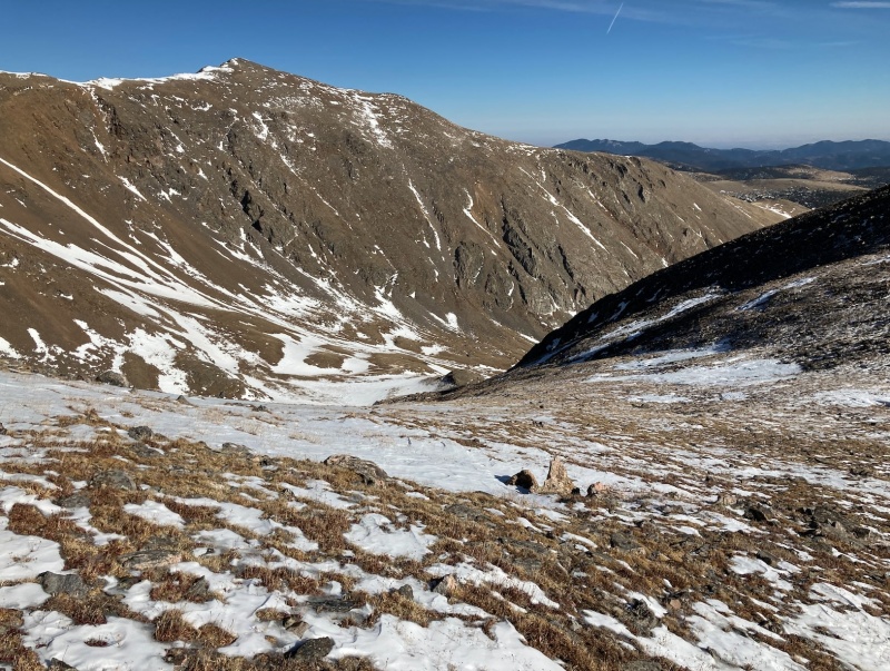
The southeast ridge of Bancroft is a bunch of gently rolling hills that eventually lead to the summit. While offering no climbing, the southwest ridge does afford spectacular views to the south and up the drainage above Fall River Reservoir. 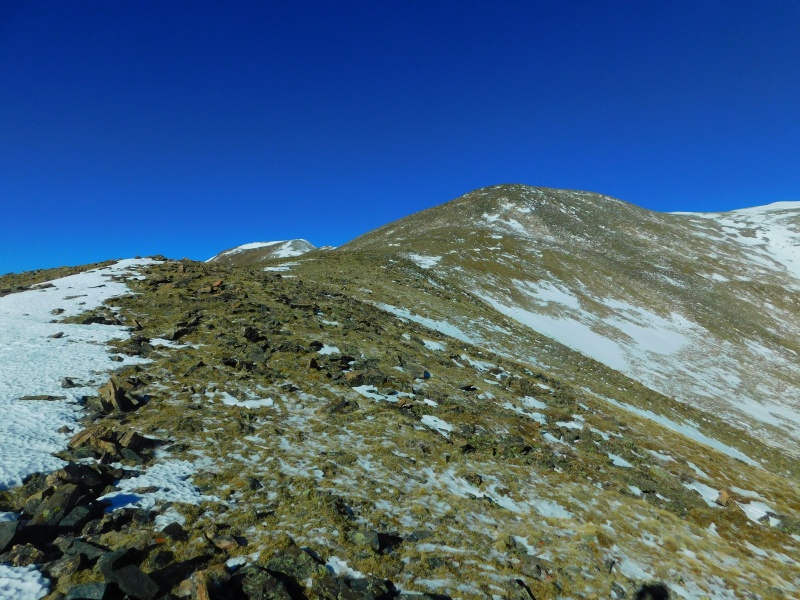
Looking up the southeast ridge with Bancroft to the right and Parry in the back left. 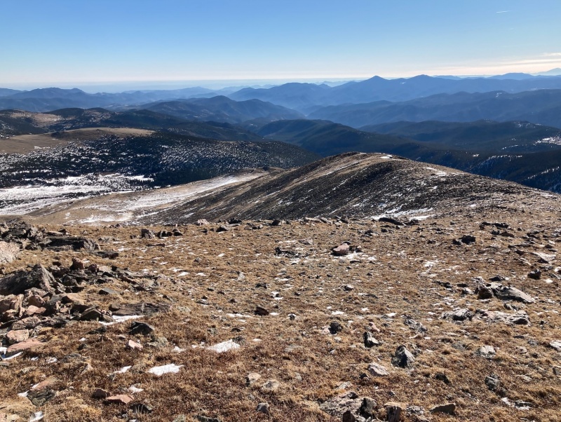
Once on the summit of Bancroft, I quickly began my descent toward the Parry - Bancroft saddle. There is little elevation loss between the two summits, allowing me to arrive at Parry Peak’s summit a mere 25 minutes after leaving the summit of Bancroft. 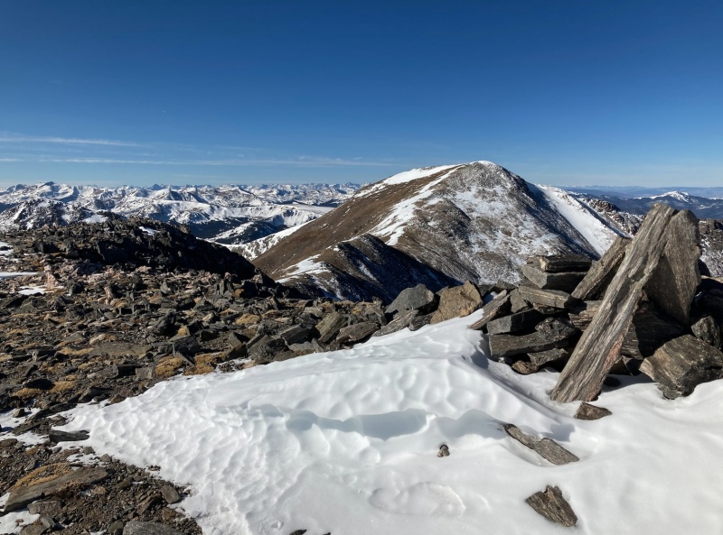
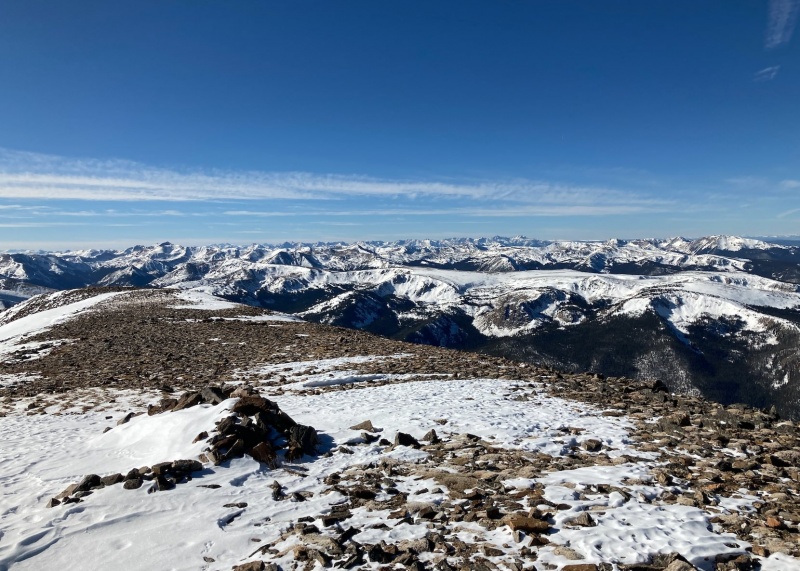
The Gores (off in the distance) from the summit of Parry. Once on the summit of Parry Peak, I began to ponder my final objective—Mt. Eva. I would be able to get to the summit by following the gentle class 2 ridge from Parry but I had no particular desire to return over any summits. The night before, I scouted a possible exit on Google Earth into the Fall River drainage that would allow me to avert the re-ascension of any peaks. This exit, which was a gentle north-facing slope just east of Mt. Eva’s summit, looked promising. Now content with my exit plan, I began down the monotonous ridge between the two peaks and soon arrived on the summit of Mt. Eva. 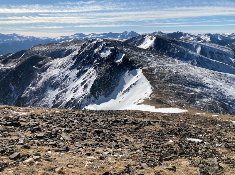
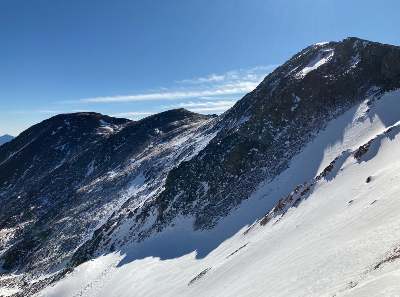
I enjoyed a quick break on my final summit and started down the east ridge towards the promising north-facing slope. A few easy class 3 moves brought me to the top of the slope where I saw a group of bighorn sheep going placidly about. I quickly began my descent, bearing east when confronted with any obstructions. Although mostly grassy, a bit of talus hopping near the bottom brought me into the basin. 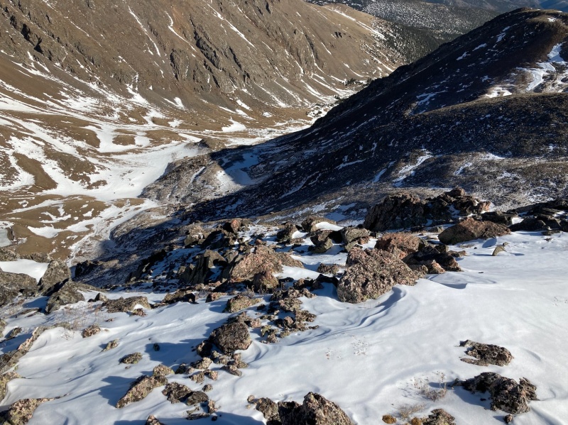
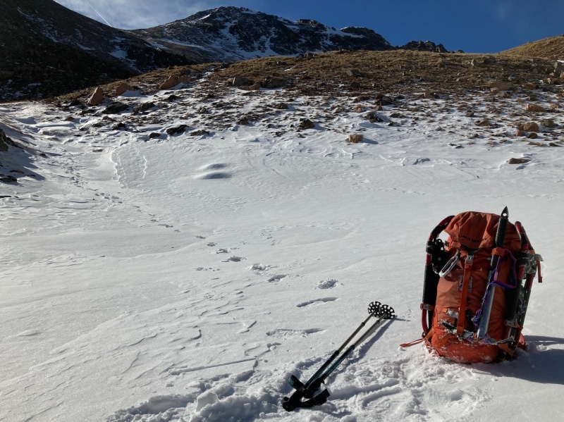
The fall River drainage is elegant, especially with snow present. I continued following the drainage east, staying close to the north wall. As I descended, I realized that to avert any elevation gain, I would have to walk through the trees where substantial powder snow was present. Since I would rather deal with the negligible amount of snow above the tree line, I figured I’d just suck it up and re-ascend the north wall of the basin to regain Bancroft’s southeast ridge. 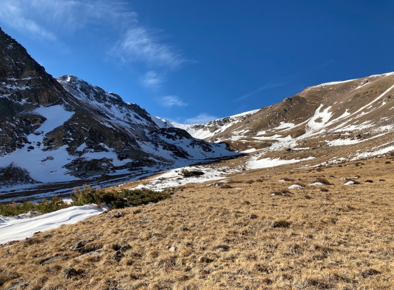
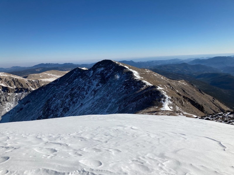
I crossed a couple of rock glaciers and began my ascent, aiming for two prominent rock towers towards the easternmost end of the north wall. After a rather steep section, I reached the rock towers and began traversing directly east, gaining minimal elevation. Soon after, I arrived at the beginning of Bancroft’s southeast ridge where I was greeted by more bighorn sheep. From here, I followed my ascent route (the road) back to the Loch and eventually my car. 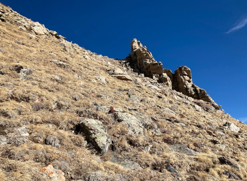
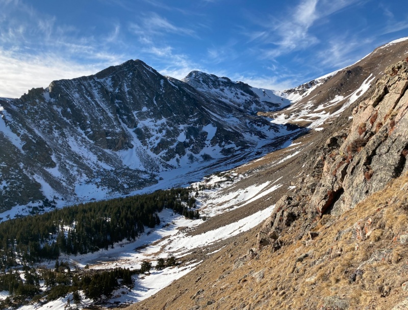
Looking back into the fall river drainage from the rock towers. Mt. Eva is in the back center. After staring at these peaks from both Denver and I70, it was a pleasure to explore their slopes. I spent most of the summer and fall chasing the 14ers, so it was nice to find some solitude in a less visited area. With an absolutely beautiful day, it was a great way to end the dry(ish) peak bagging season before the big storm rolls in tonight. 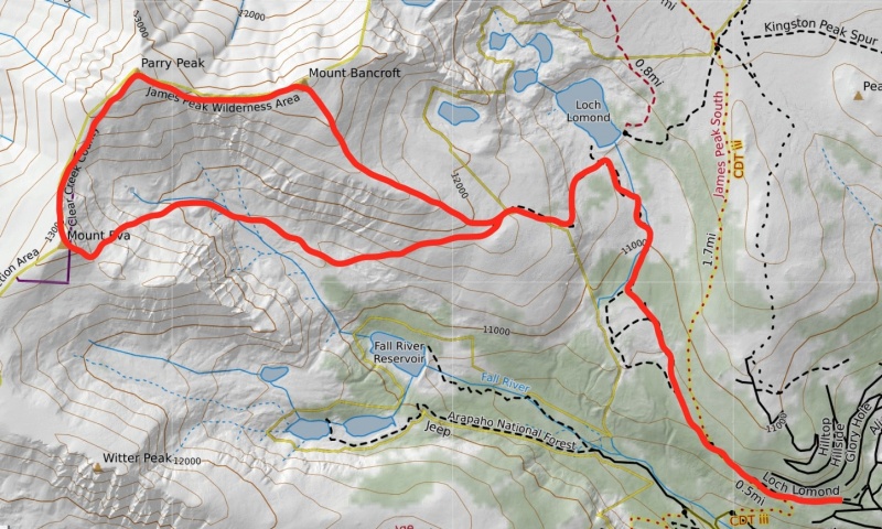
Thumbnails for uploaded photos (click to open slideshow): ")
")
")
")
")
")
")
")
")
")
")
")
")
")
")
")
")
")
|
| Comments or Questions | |||
|---|---|---|---|
|
Caution: The information contained in this report may not be accurate and should not be the only resource used in preparation for your climb. Failure to have the necessary experience, physical conditioning, supplies or equipment can result in injury or death. 14ers.com and the author(s) of this report provide no warranties, either express or implied, that the information provided is accurate or reliable. By using the information provided, you agree to indemnify and hold harmless 14ers.com and the report author(s) with respect to any claims and demands against them, including any attorney fees and expenses. Please read the 14ers.com Safety and Disclaimer pages for more information.
Please respect private property: 14ers.com supports the rights of private landowners to determine how and by whom their land will be used. In Colorado, it is your responsibility to determine if land is private and to obtain the appropriate permission before entering the property.

