Log In 
Report Type 
Mini
Peak(s)  Grizzly Peak  -  13,997 feet
Date Posted  05/09/2021
Date Climbed   10/10/2020
Author  OrionStar
 Grizzly Peak A North ridge in October   

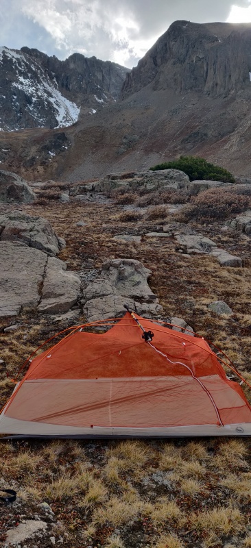
After talking with a local back country Ranger she said I had to camp at Grizzly lake, and I am the highly suggestable type so off I went. The drive to the Grizzly lake Trail head can be done by a Subaru or better, which explains the large number of car campers along the way. The hike along Grizzly Creek trail is easy enough with a steep bit at the end that even I could do with a full pack as it is only 3.4 miles to just below the lake where I made camp. I found a great spot away from the main trail and near a good water source, though when I went to setup my tent I realized I forgot one of the poles... yeesh. I used a trekking pole to span the difference and it worked well enough, I was thankful there was no weather predicted and none arrived. The lake itself really is a gem and should not be missed. A quick video of my camp and the lake can be seen here https://youtu.be/EsFFCaOMRDk

The next day I was up early, well before dawn and made my way up some steep sections to gain the North ridge just as the sun came out. The first leg of the ridge line is easy high meadows, then it is is scree and loose rock for the remainder, with a reprieve just as you get near the summit. There is no trail and no beta that I could easily find for the North ridge, therefore I made my way along the ridge as much as I could, but with a few spires that forced me to down hike then back up to try and find an easier way. All the while the loose rock made for careful foot falls and slow going. The summit was great, and I was tired, then I had to go back the way I came, it made for a long day. 5 Miles from camp to the summit and back that took me 6 hours. A video of the upper route can be seen here https://youtu.be/fVUkS4YrIG4


21019_01
Wonky tent with a view
21019_02
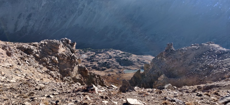
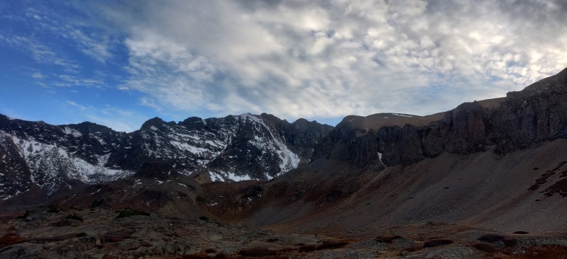
Snow is here, but not over there.
21019_03
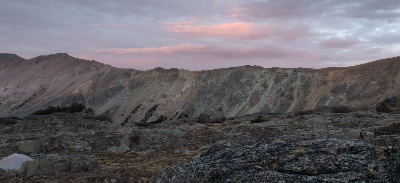
Sunsets are such easy post card shots.
21019_04
Not really much of a trail, you just kind of find your way up to the ridgeline.


Thumbnails for uploaded photos (click to open slideshow):
1 2 3 4


Comments or Questions
   Not registered?


Caution: The information contained in this report may not be accurate and should not be the only resource used in preparation for your climb. Failure to have the necessary experience, physical conditioning, supplies or equipment can result in injury or death. 14ers.com and the author(s) of this report provide no warranties, either express or implied, that the information provided is accurate or reliable. By using the information provided, you agree to indemnify and hold harmless 14ers.com and the report author(s) with respect to any claims and demands against them, including any attorney fees and expenses. Please read the 14ers.com Safety and Disclaimer pages for more information.

Copyright: Route information, text, risk factors, maps, GPX files, charts, photos, 14ers.com-created map imagery, flythroughs, and other content provided in this route description are copyrighted by 14ers.com and may not be copied, reproduced, republished, distributed, modified, or used to create derivative works without prior written permission.
Please respect private property: 14ers.com supports the rights of private landowners to determine how and by whom their land will be used. In Colorado, it is your responsibility to determine if land is private and to obtain the appropriate permission before entering the property.