Download Agreement, Release, and Acknowledgement of Risk:
You (the person requesting this file download) fully understand mountain climbing ("Activity") involves risks and dangers of serious bodily injury, including permanent disability, paralysis, and death ("Risks") and you fully accept and assume all such risks and all responsibility for losses, costs, and damages you incur as a result of your participation in this Activity.
You acknowledge that information in the file you have chosen to download may not be accurate and may contain errors. You agree to assume all risks when using this information and agree to release and discharge 14ers.com, 14ers Inc. and the author(s) of such information (collectively, the "Released Parties").
You hereby discharge the Released Parties from all damages, actions, claims and liabilities of any nature, specifically including, but not limited to, damages, actions, claims and liabilities arising from or related to the negligence of the Released Parties. You further agree to indemnify, hold harmless and defend 14ers.com, 14ers Inc. and each of the other Released Parties from and against any loss, damage, liability and expense, including costs and attorney fees, incurred by 14ers.com, 14ers Inc. or any of the other Released Parties as a result of you using information provided on the 14ers.com or 14ers Inc. websites.
You have read this agreement, fully understand its terms and intend it to be a complete and unconditional release of all liability to the greatest extent allowed by law and agree that if any portion of this agreement is held to be invalid the balance, notwithstanding, shall continue in full force and effect.
By clicking "OK" you agree to these terms. If you DO NOT agree, click "Cancel"...
I was inspired to do this trip by the report posted by daway8 and to take advantage of the trench he and his crew put in before the "snowmaggedon 21" which is forecast for the weekend wipes out the trench he and his crew put in. I appreciate the work those guys did and it made the trip much more fun that it would have been otherwise, so thanks for that.
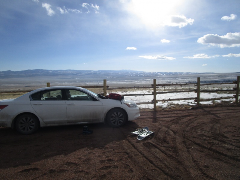
My day started at 5:00 a.m. in Montrose. Made pretty good time and got to the trailhead around 8:30 a.m.
I wondered about getting my Accord up the last bit of unmaintained road to the actual parking lot. As it turned out, that was not a problem. From where the maintained road ends, there is 0.3 tenths of a mile of rutted, muddy and snow covered road to the parking lot. It was frozen when I got there, which I think was helpful. But if you are not sure about driving this bit, there is plenty of room to park just about anywhere between where the maintained road ends and the parking lot. There are signs that say "No Camping", but nothing about parking along the road.
Accord at the trailhead
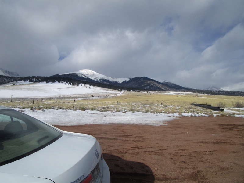
The forecast was for snow and blowing snow with wind around 15 - 20 mph. More about the wind later.
Interesting weather.
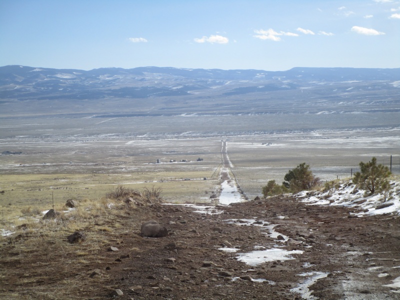
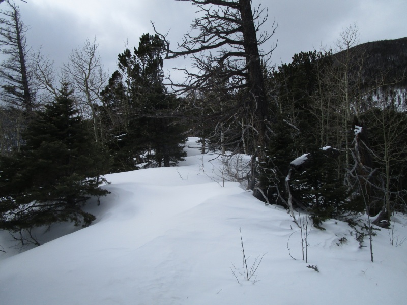
Looking down at the parking lot just before reaching the trees.
There was a guy with out of state plates who was 20 minutes or so ahead of me. I was looking forward to maybe having some company, but when I caught up to him right around the Rainbow Trail, he was lamenting not having brought snow shoes. If you are reading this, don't feel bad about turning back. I don't think anyone could have gotten up to treeline without snow shoes.
Here is a little side note. Just before getting to the sign marking the Rainbow Trail there is a ditch that runs next to the road. It looks like a little diversion to cut off some climbing before hitting the trail. Well, if you don't pay attention, you just might end up all the way up at the South Colony Trailhead, which is what I did. Not a big mistake, maybe lost 15 minutes to the effort, but funny.
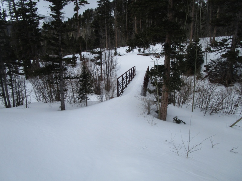
Once you find the Rainbow Trail, it is just a few minutes, all down hill, to the bridge.
Between the Road and the Bridge on the Rainbow Trail
The Bridge
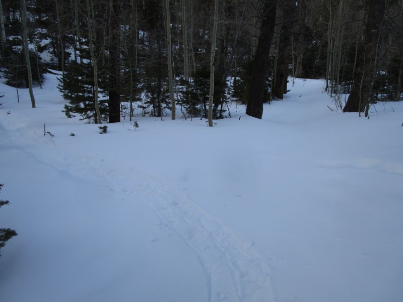
The trail from the week before was pretty much blown over down low, but the place to leave the trail and gain the ridge was not hard to find. The Ridge crest is only a couple hundred vertical feet up and the bush whack up to it is not too bad and only takes about 10 minutes.
Leaving the Rainbow Trail
I took the previous photo in the evening on the way out to show where I left the trail.
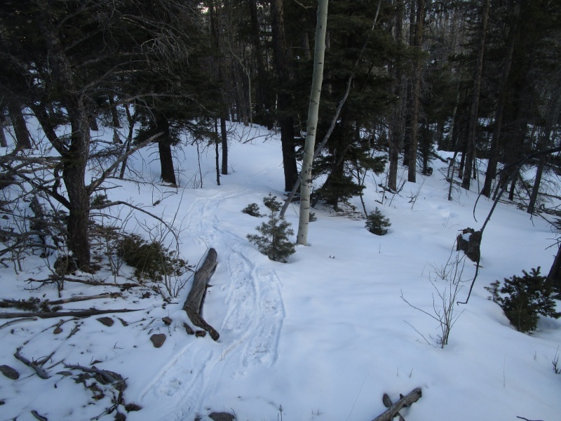
Gaining the Ridge (lower)
Gaining the Ridge (upper)
Once you gain the ridge it starts on an easy grade up.
Start of the ridge
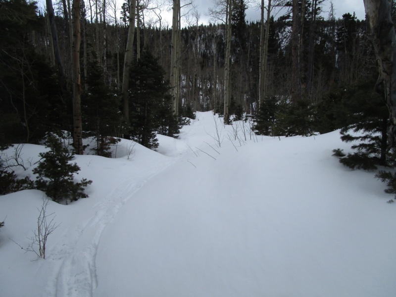
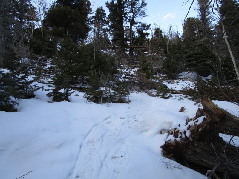
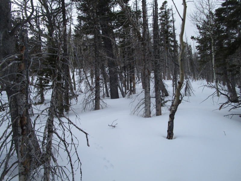
The section from where you get on to the ridge up to the tree line is a big part of the day. The trees go on for what seems like forever. The trench from the week earlier was not always evident and when I was off the track, the snow was soft and made travel difficult. The slope gets steeper and fortunately it was in the steepest part that the old trench was most evident. If I had to make it without that trench, it would have been a very different day. Anyone considering doing this trip should consider this, especially if going alone.
Beetle kill section of trees
Trees go on for a long time
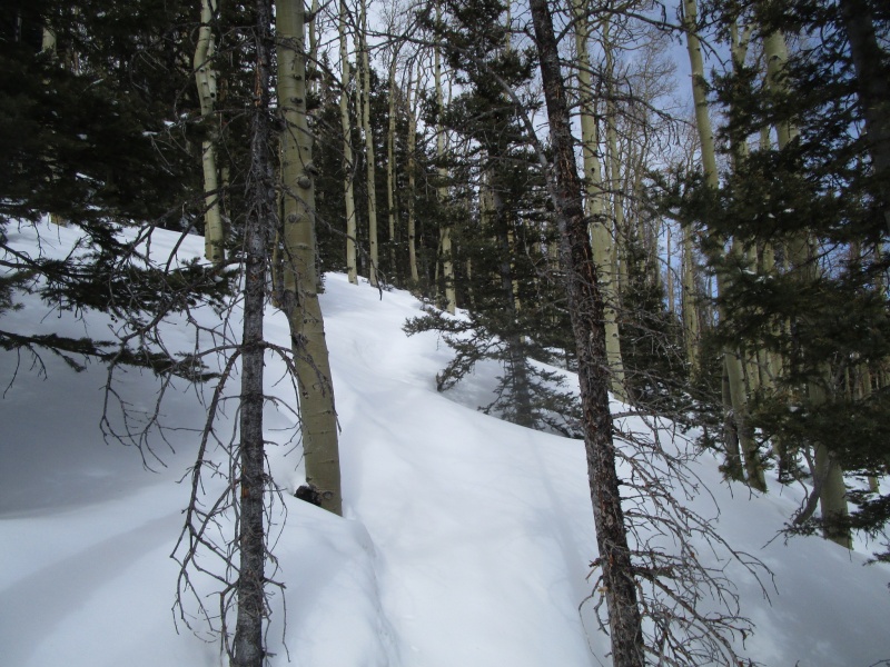
Steeper section
How steep does it get in here? Well, on the way down it was easier to punch through fresh untracked powder to slow down rather than stay in the track, where the snow shoes tried to slip out from under your feet.
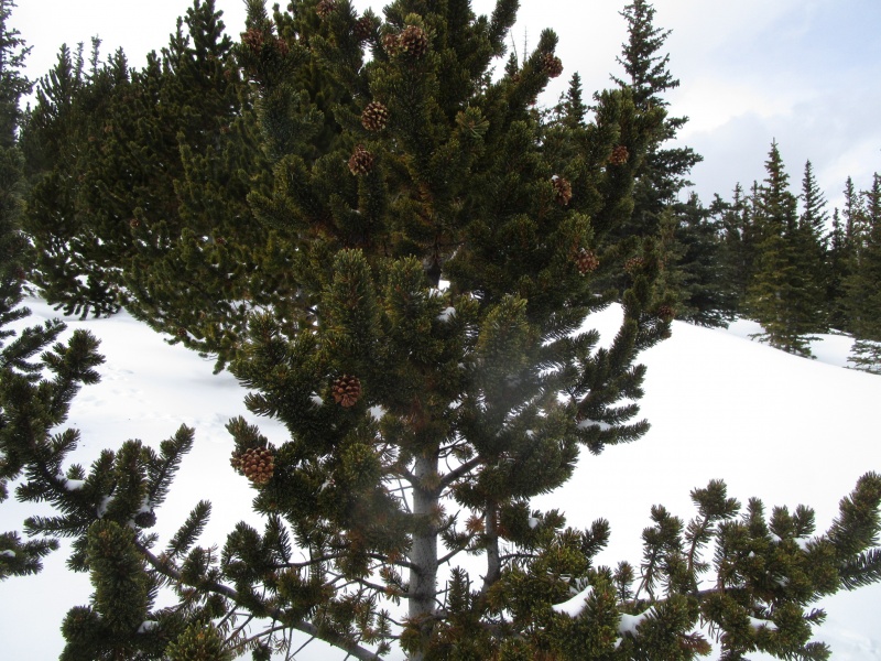
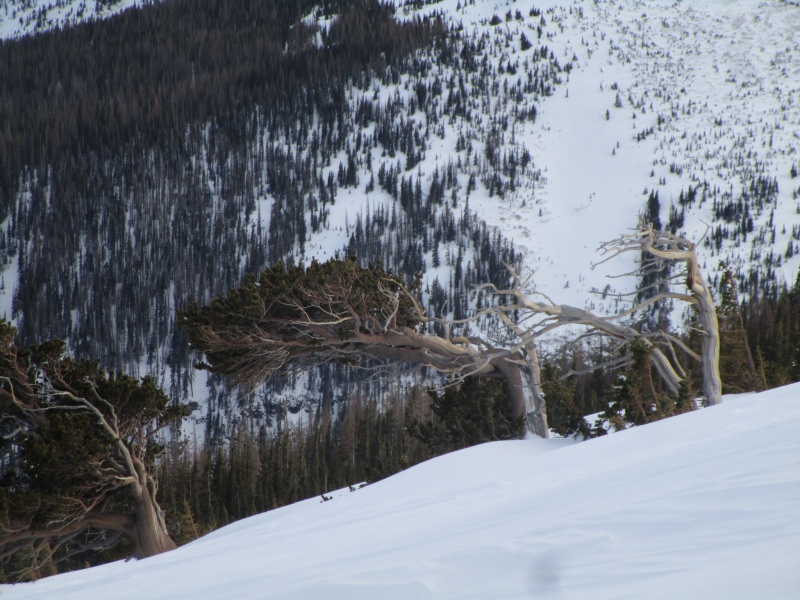
But after more than an hour of trudging up hill you come to a beautiful grove of young Bristle Cone Pines.
Bristle Cone Pine Tree
Now I am no arborist, so if I misidentified this tree, feel free to let me know, but this next photo seemed to give a strong clue
Bristle Tree Pine Cone?
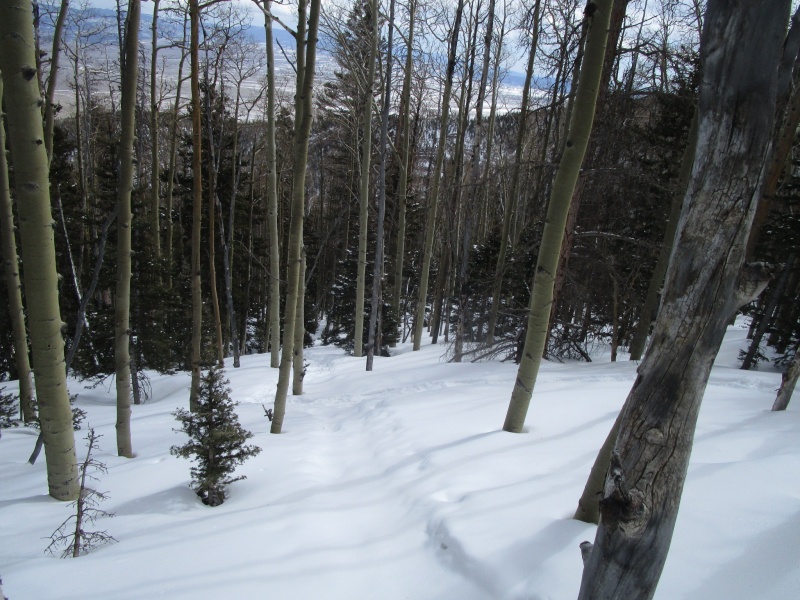
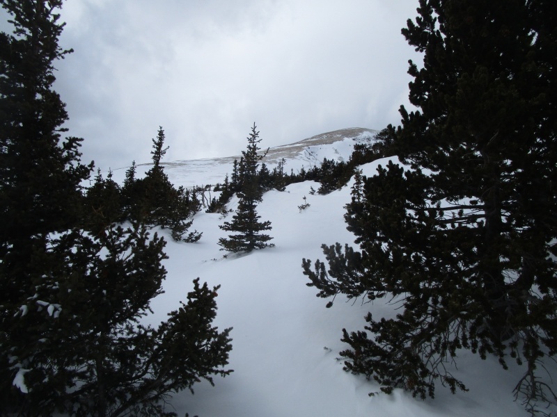
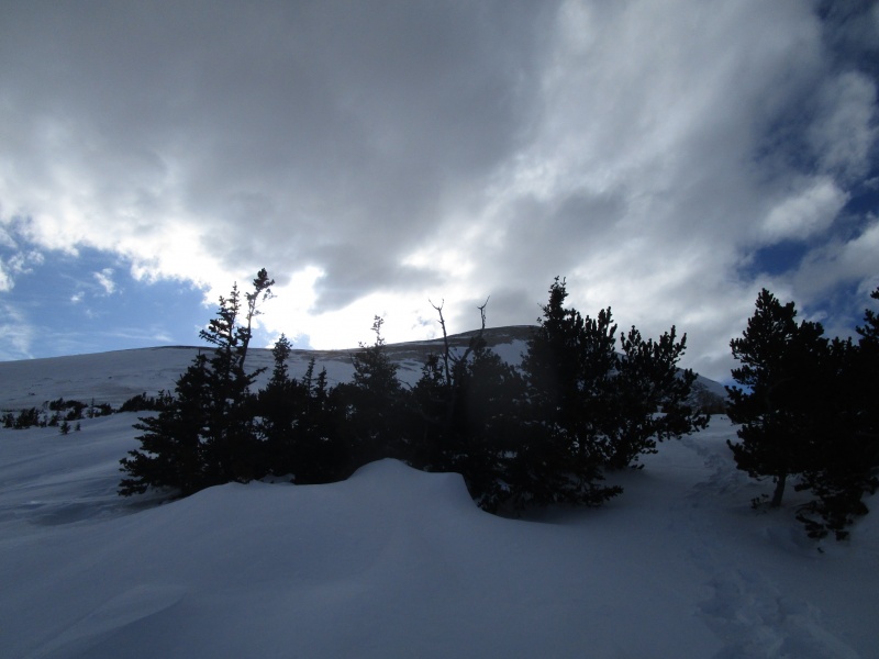
Once you come to the stand of bristlecones, you have pretty much cleared the trees.
Clearing the trees
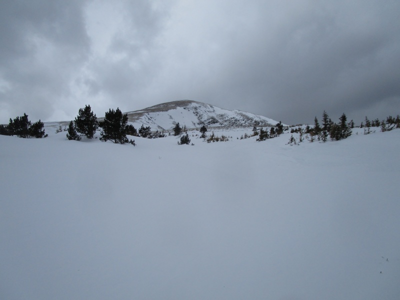
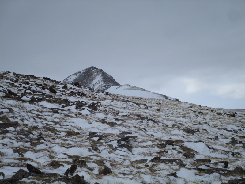
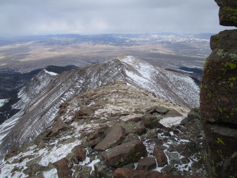
False Summit
Once out of the trees the wind was relentless. Getting up to the false summit, it seemed like a steady 25-30 mph (too loud to talk to someone next to you without shouting) with gusts up to (I just got knocked on my ass by the wind!)
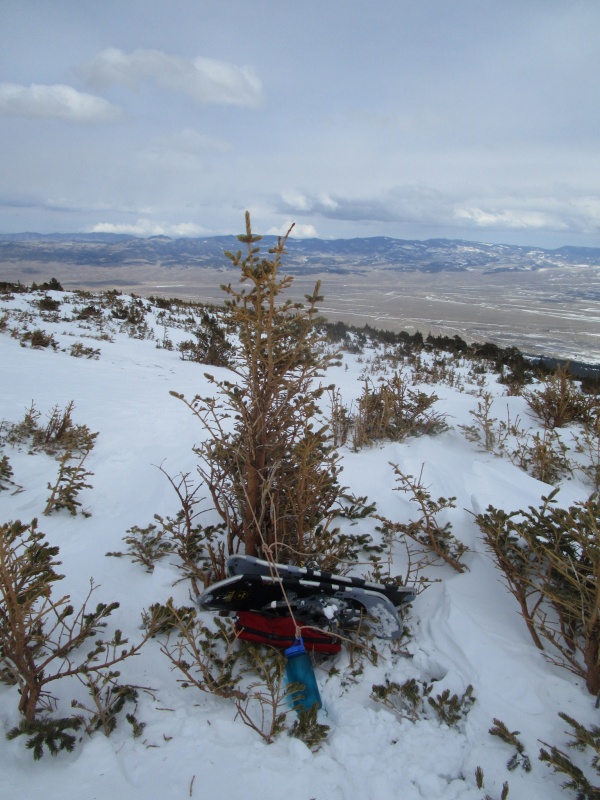
Gear stash tied to a tree so it would not blow away
I am not sure how cold it was, but when I came back to the stash in the previous photo half of the water in the bottle was frozen.
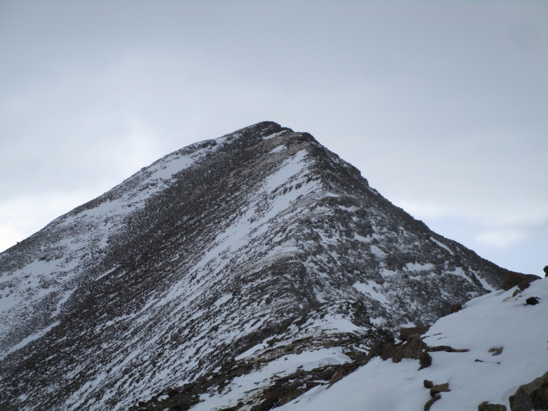
Humboldt
Final Push
The climb from the false summit to the top of Humboldt was easier than the climb from tree line to the false summit. The wind was blowing primarily from the west, so as I got closer to the summit, the mountain served to some extent as a wind shield. That is not to say that the wind did not try to pitch me off the ridge several times, but the severity did diminish the nearer to the summit I got.
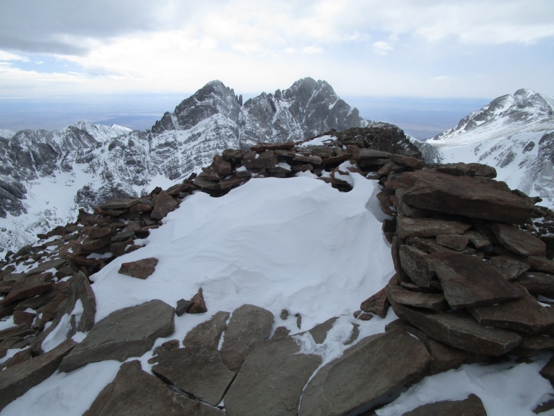
Summit with Crestone Peak, Crestone Needle and Kit Carson in the background
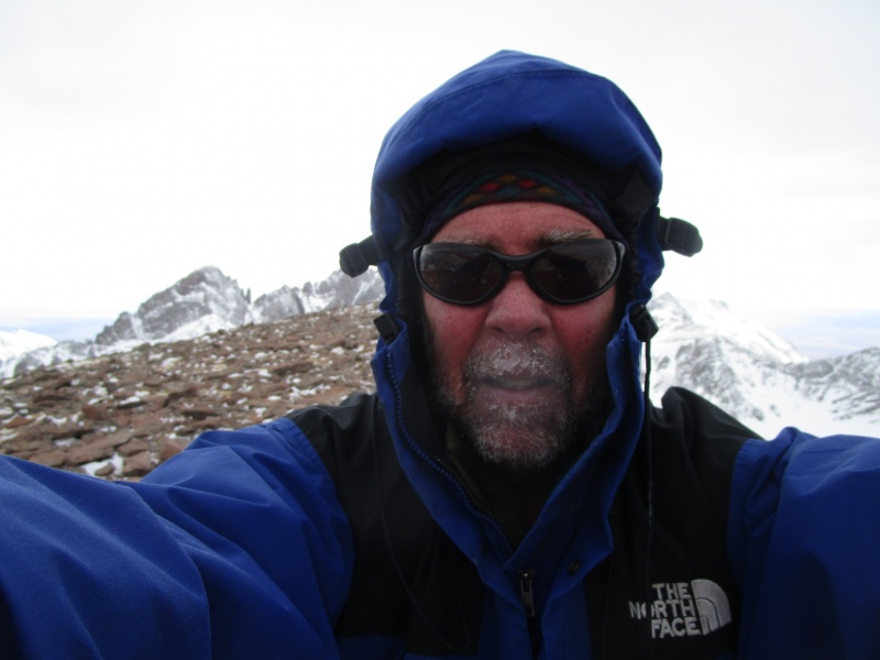
Icy Self Portrait
A nice view of the Crestones
Looking back down the ridge to the false summit
I left the summit around 3:00 p.m. The hike down was nice with the relentless wind now mostly at my back.
Think it is windy here?
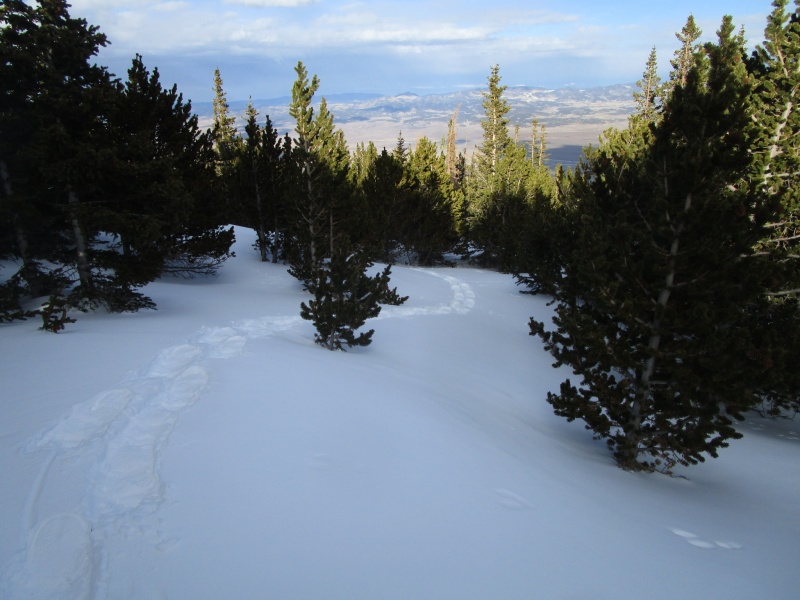
I was looking forward to getting back down into the trees and out of the wind after being blasted all day, but as it turned out, right when I got to the trees, the sun poked out for the first time all day and the wind just died. It was a very pleasant and pretty hike back down.
Calm Evening
The hike out, on the now well worn and obvious path, was a lot of fun. The hike through the trees along the ridge is very scenic and except for a few very steep sections, mostly just a cruise down.
Cruising home.
The hike took a total of 9 hr. 15 min.
6 hours up and 3 hr 15 min down.
I was back at my car at 6:15 p.m., with plenty of daylight to spare. And I even carried a headlamp this time.
Thumbnails for uploaded photos (click to open slideshow):
Glad that someone was able to make use of our trench! I've often had the benefit of other people's trenching work so it's good to pay it forward sometimes. That hike makes me look forward to redoing the Crestones at some point...
Based on the cones in your pics, those are limber pines rather than bristlecones. The two species are pretty similar, but the big cones with sap all over them are definitive. The windblown trees at timberline might be bristlecones, but I can't tell for certain from your pictures.
Nice report with wonderful photographs.
The crestones certainly are beautiful.
Caution: The information contained in this report may not be accurate and should not be the only resource used in preparation for your climb. Failure to have the necessary experience, physical conditioning, supplies or equipment can result in injury or death. 14ers.com and the author(s) of this report provide no warranties, either express or implied, that the information provided is accurate or reliable. By using the information provided, you agree to indemnify and hold harmless 14ers.com and the report author(s) with respect to any claims and demands against them, including any attorney fees and expenses. Please read the 14ers.com Safety and Disclaimer pages for more information.
Please respect private property: 14ers.com supports the rights of private landowners to determine how and by whom their land will be used. In Colorado, it is your responsibility to determine if land is private and to obtain the appropriate permission before entering the property.


")
")
")
")
")
")
")
")
")
")
")
")
")
")
")
")
")
")
")
")
")
")
")
")
")
")


