Download Agreement, Release, and Acknowledgement of Risk:
You (the person requesting this file download) fully understand mountain climbing ("Activity") involves risks and dangers of serious bodily injury, including permanent disability, paralysis, and death ("Risks") and you fully accept and assume all such risks and all responsibility for losses, costs, and damages you incur as a result of your participation in this Activity.
You acknowledge that information in the file you have chosen to download may not be accurate and may contain errors. You agree to assume all risks when using this information and agree to release and discharge 14ers.com, 14ers Inc. and the author(s) of such information (collectively, the "Released Parties").
You hereby discharge the Released Parties from all damages, actions, claims and liabilities of any nature, specifically including, but not limited to, damages, actions, claims and liabilities arising from or related to the negligence of the Released Parties. You further agree to indemnify, hold harmless and defend 14ers.com, 14ers Inc. and each of the other Released Parties from and against any loss, damage, liability and expense, including costs and attorney fees, incurred by 14ers.com, 14ers Inc. or any of the other Released Parties as a result of you using information provided on the 14ers.com or 14ers Inc. websites.
You have read this agreement, fully understand its terms and intend it to be a complete and unconditional release of all liability to the greatest extent allowed by law and agree that if any portion of this agreement is held to be invalid the balance, notwithstanding, shall continue in full force and effect.
By clicking "OK" you agree to these terms. If you DO NOT agree, click "Cancel"...
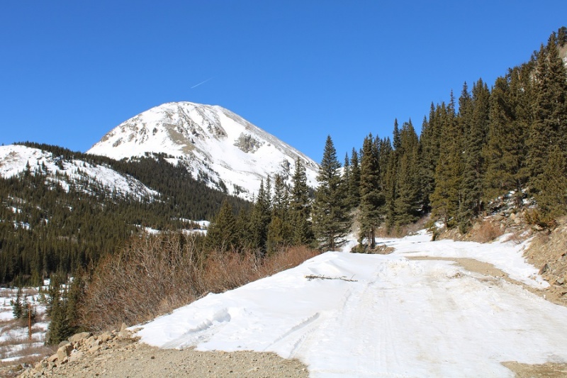
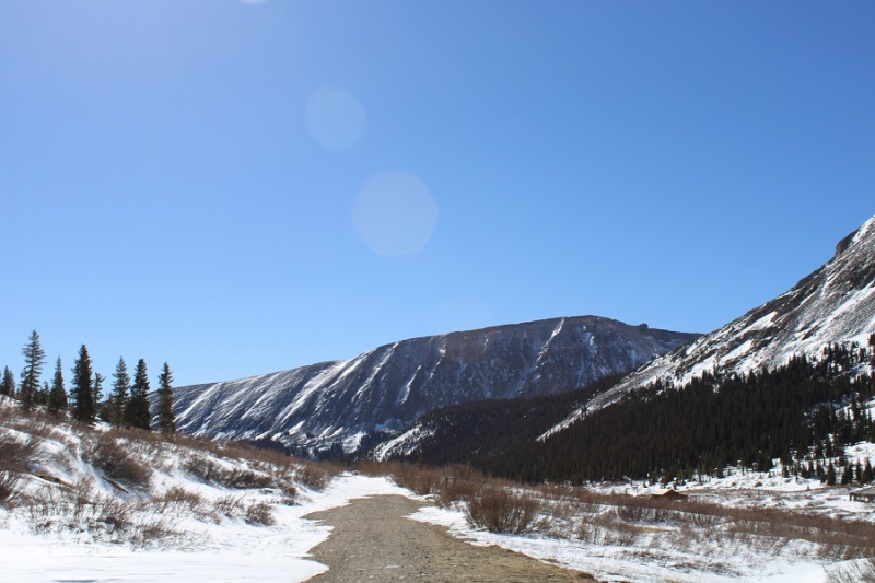
I was looking for another quick summit this week, and was halfway to the trailhead before I remembered the road to Mosquito pass would most likely be snowed in, adding about 5 miles to the hike. Oh well, I should still be able to make it an early day. I made it to where the road for Mosquito Pass and 12 meet and due to previous experience with this road in winter decided to park at this junction. I could have driven about a mile up Mosquito Pass road, but eventually the drifts would have made it necessary to find a place to park. By parking below I’d be getting in some extra mileage (if not much elevation gain).
I parked, gathered my gear, and headed up Mosquito Pass road at 6am.
I was excited to try out my new camera. I tend to go through cameras quickly, as I put them through a ton of use in extreme conditions. The last time I purchased a camera I bought one that was less expensive, reasoning since I buy them so often I’d like to spend less money. I found out the hard way cameras that are point and shoot don’t operate well when it’s less than 30 degrees outside.
The past few weeks I’ve been using a stylus with my iPhone, but I’ve found when it’s extremely cold out even the stylus doesn’t work (although warming the stylus up in my mouth sometimes helps). After my climbing accident at Garden of the Gods last week where I not only came out road-rashed and bruised but also I crushed my stylus, I decided to just purchase another DSLR. Yes, they’re heavy, but they withstand the cold.
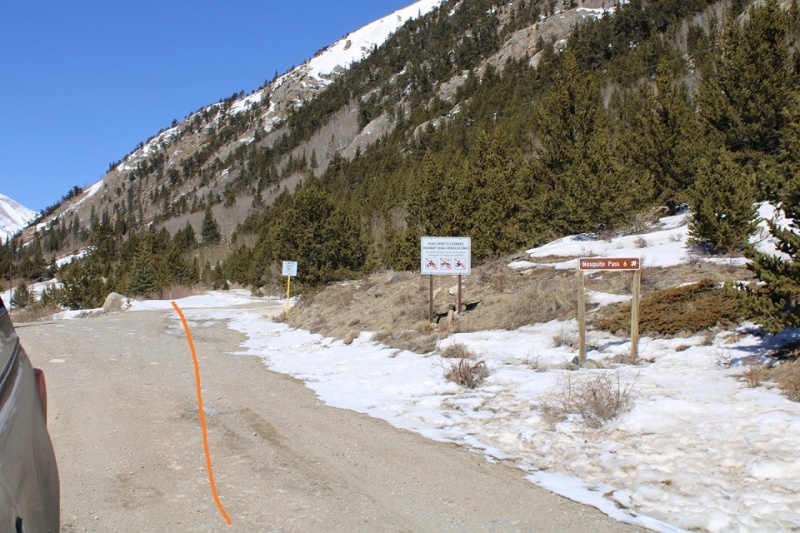
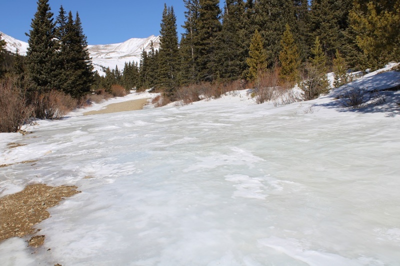
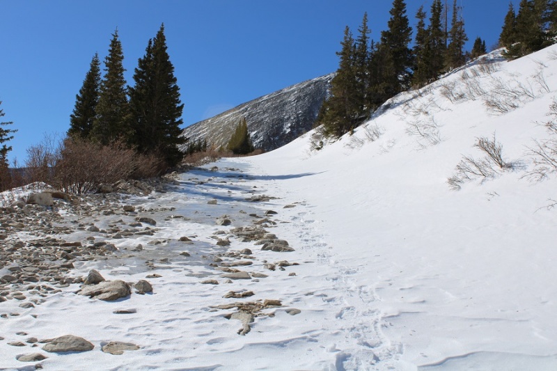
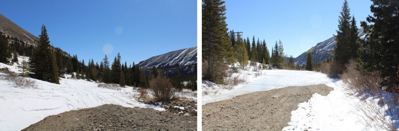
I hiked along the dirt road for 2.5 miles. The conditions were varying, and I was glad to have worn my microspikes.
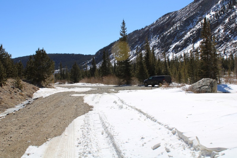
About a mile in was the furthest anyone has been able to drive recently
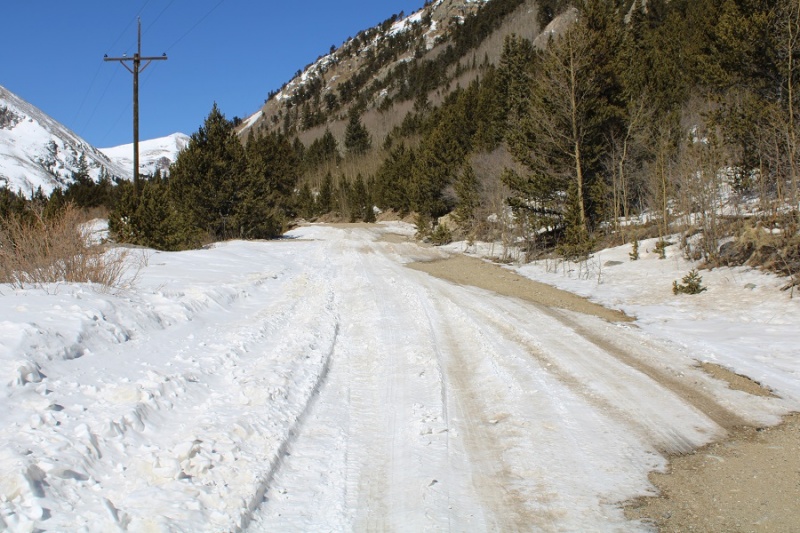
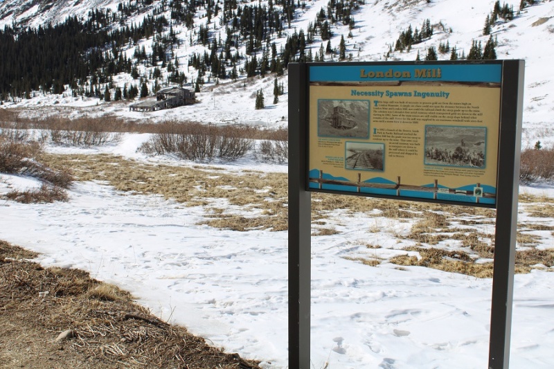
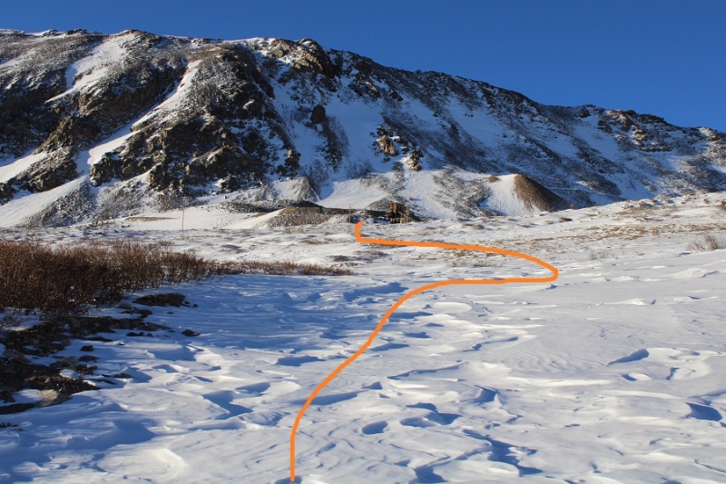
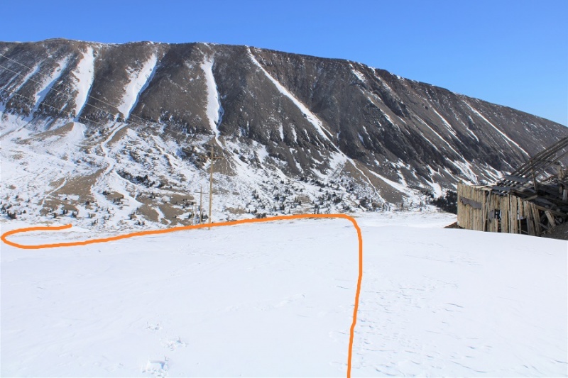
I passed North London Mill
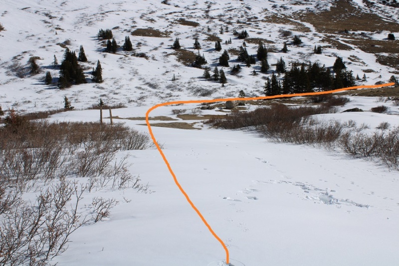
After passing North London Mill I turned left at the junction
It was here the sun began to rise and I started trying out my new camera
It was also here I started postholing more than I could stand. I decided to put on my snowshoes, and wore them until I made it to the Mosquito/London saddle
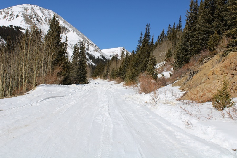
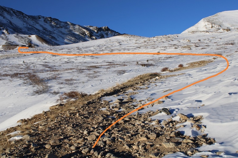
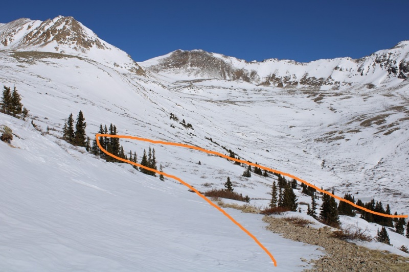
I followed the road up to London Mine
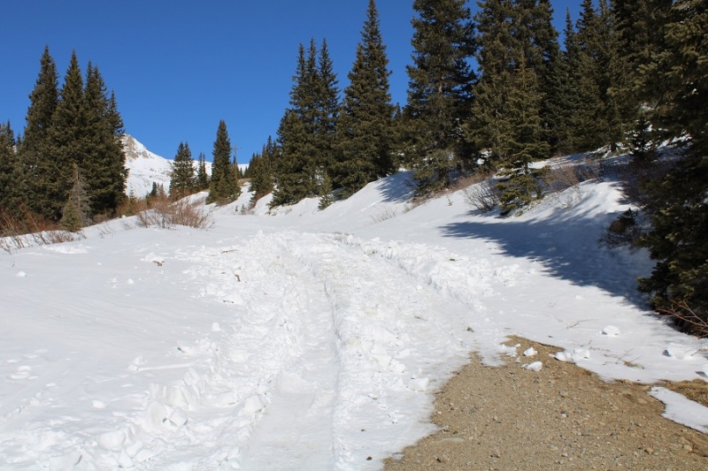
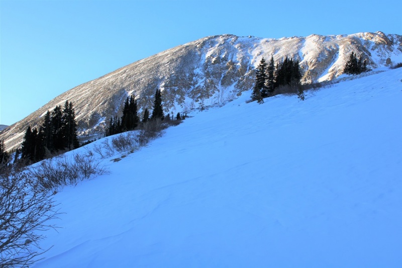
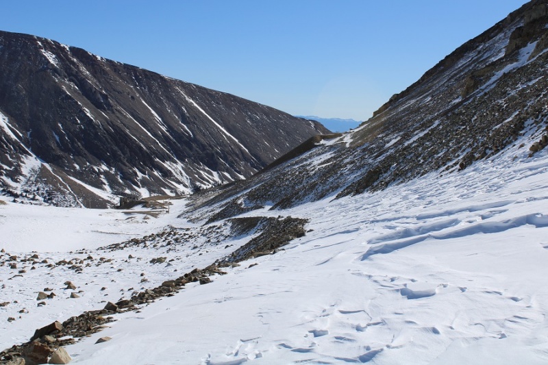
At times the road was completely covered in drifts
The road was covered in snow as I got closer to the mine, so I just had to kind of wing it.
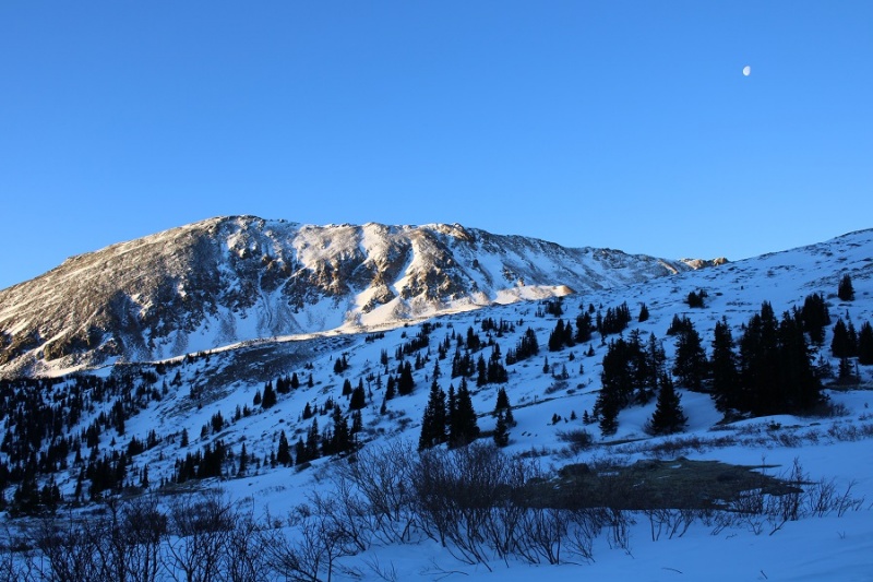
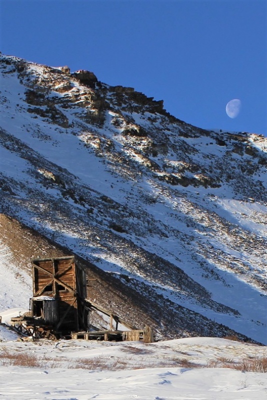
The moon was just going behind the ridge as I reached the mine
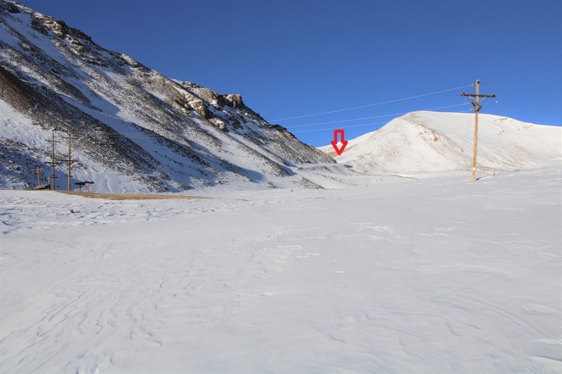
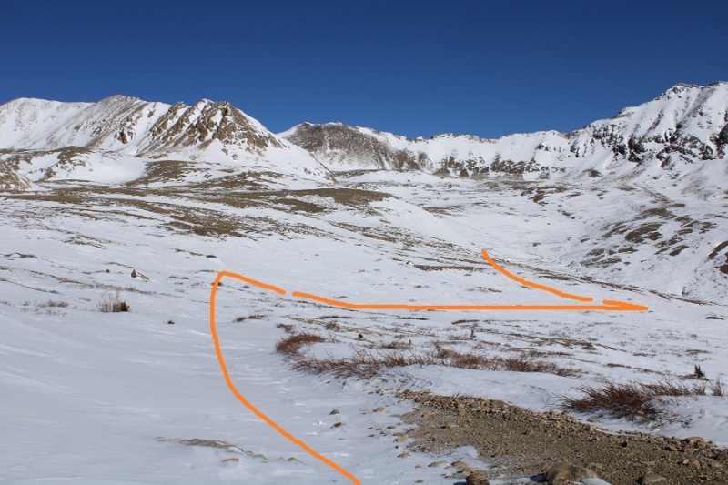
I continued past the mine, heading west
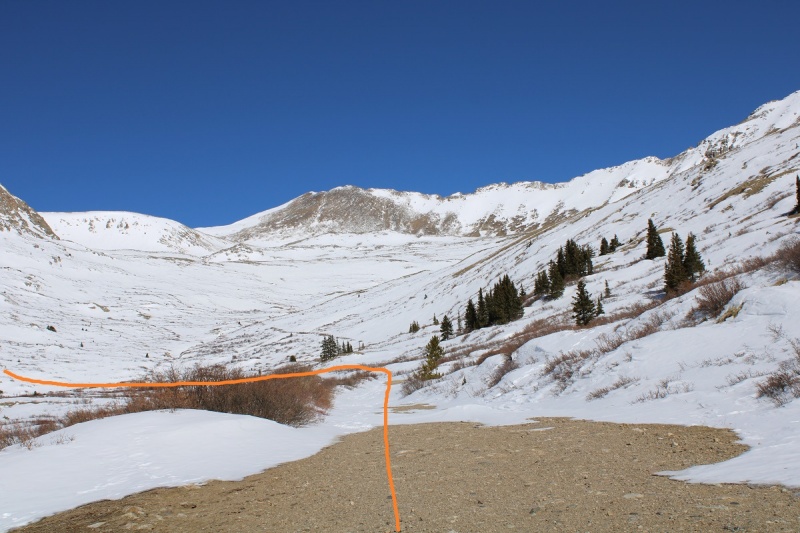
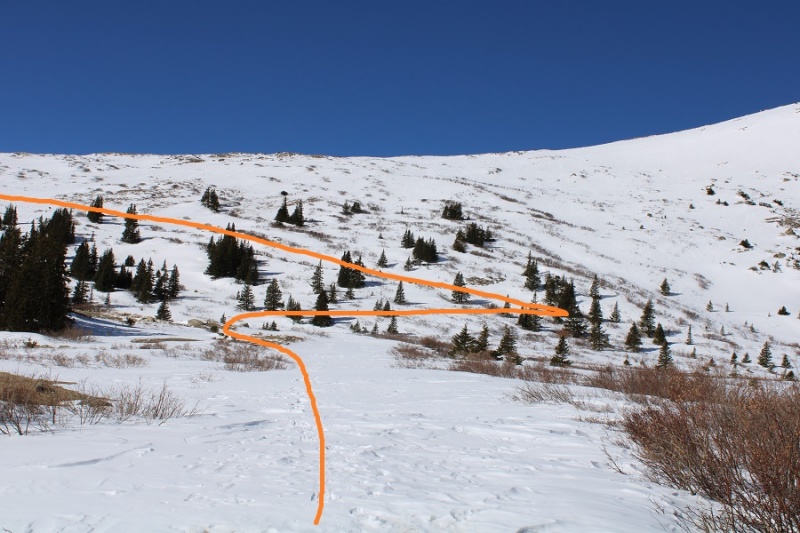
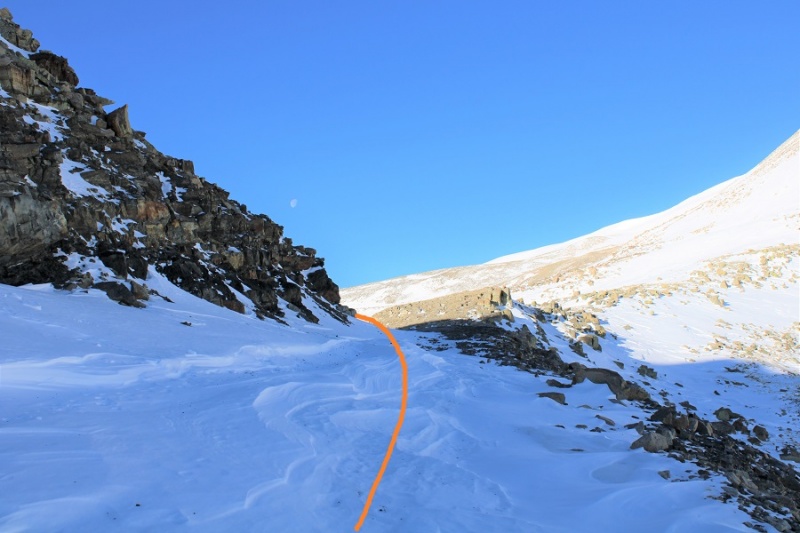
And followed the road to the saddle. From a distance this road looks mild, but I’ve taken this route in winter before, and the drifts can get pretty steep and go down quite a ways into the drainage (the pictures don’t do the drop offs justice). It’s a good idea to have traction and an ice axe for this part in winter
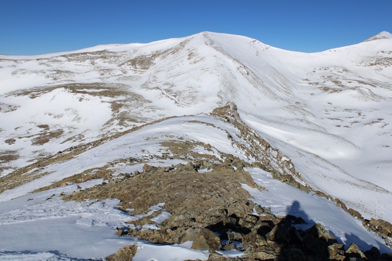
I made it to the London/Mosquito saddle and took off my snowshoes, turned left, and followed London’s ridge southeast.
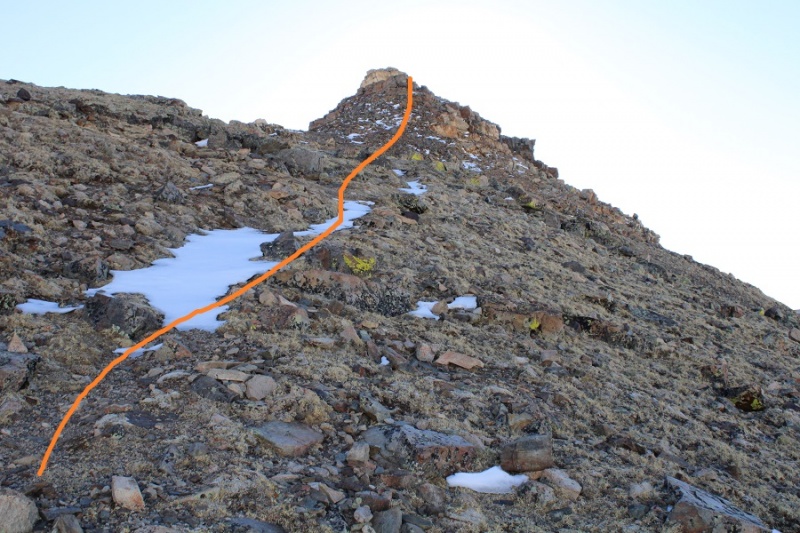
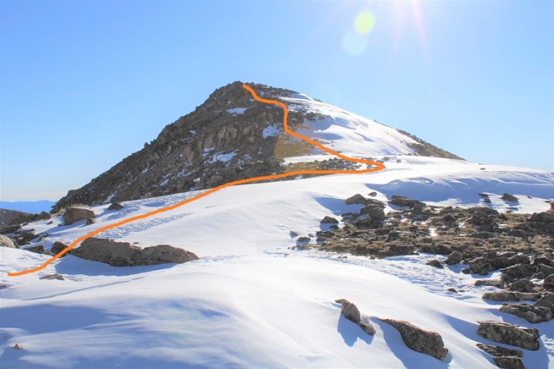
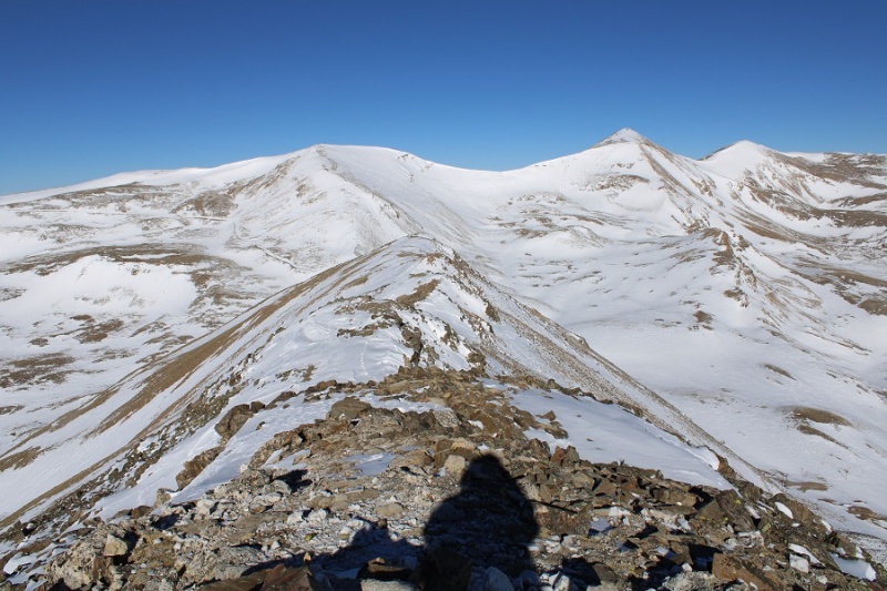
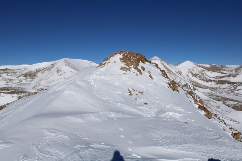
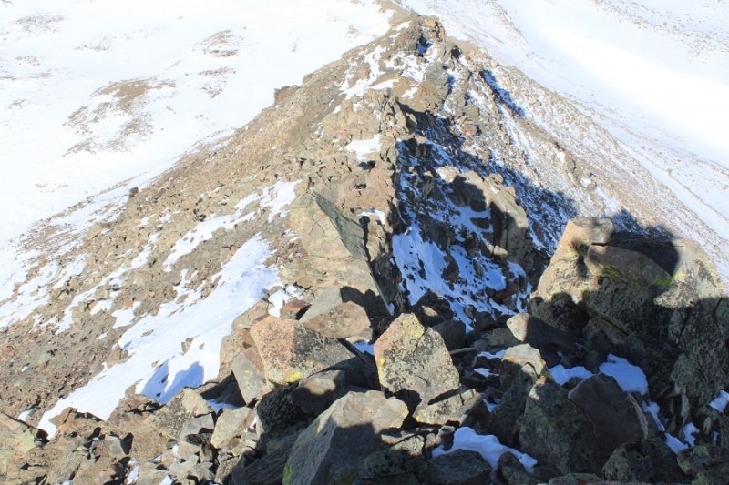
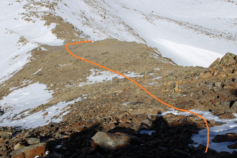
This ridge goes for almost exactly a mile. After initially skirting to the right, I was able to stick to the ridge proper the entire time, and only postholed a few times in the snow. This is all class 2, with the snow making it an easy class 3 in just a few areas. Also, I didn’t remember it until I got back home and looked at my pictures, but the one drawback of this camera are the sun spots when directly facing the sun. I know what causes them, I just need to be more diligent in the future against preventing them. Here’s the ridge route, with a bunch of false summits:
About halfway along the ridge I heard a loud buzzing, looked around, and saw a biplane flying very low. I watched it go around the mountains and through the passes. So cool! I wanted to wave, but didn’t think they could see me, and also worried they might think I needed help if I did.
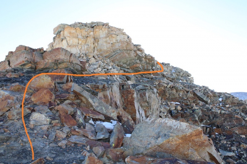
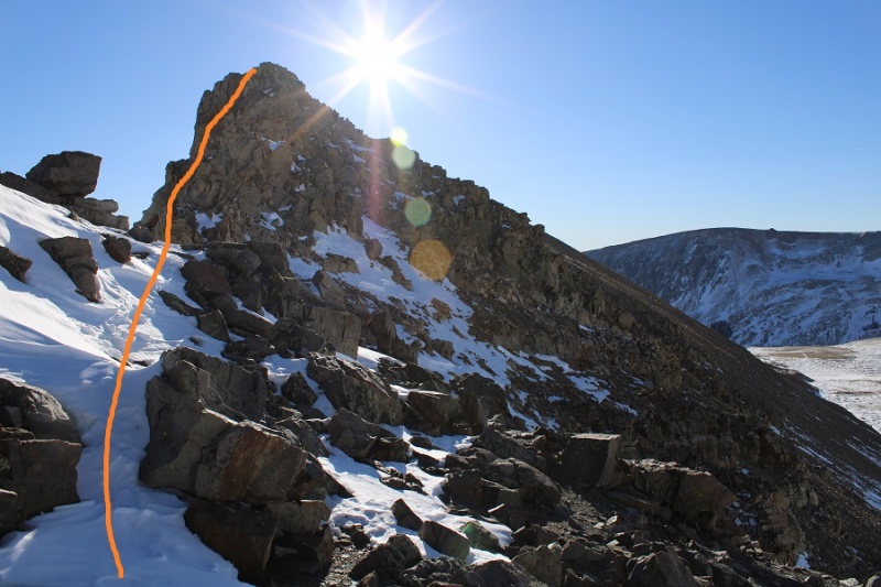
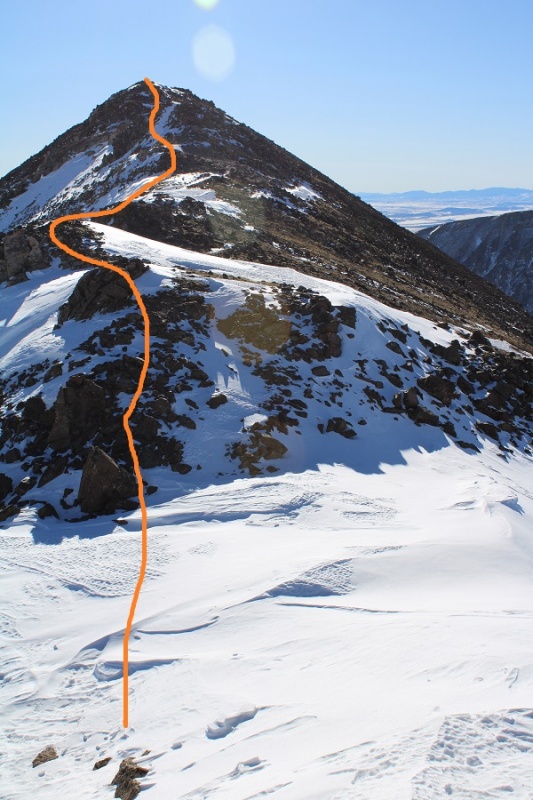
Here’s the final trek to the summit
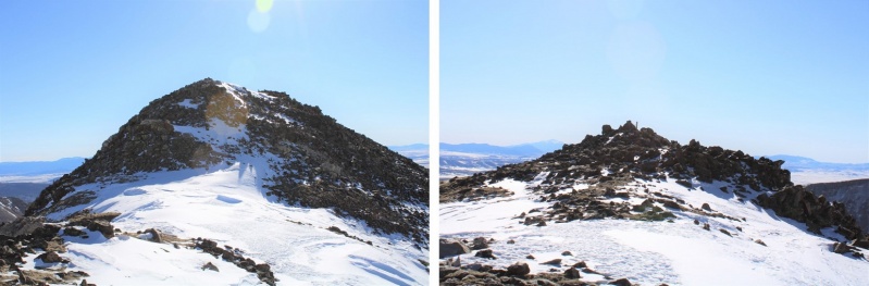
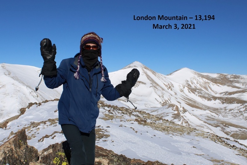
I summited London Mountain at 8:30am
London Mountain Summit
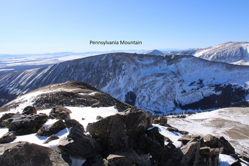
I had a good view of Monday’s summit: Pennsylvania Mountain
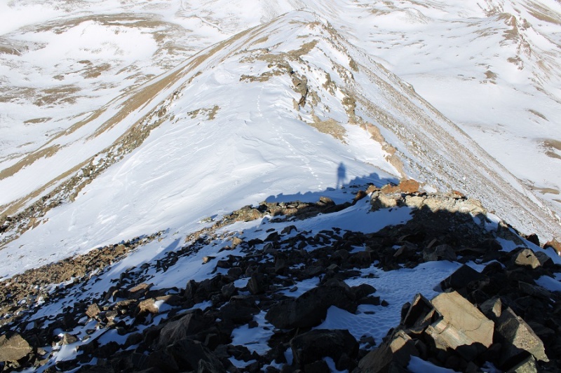
Here’s the trek back down the ridge
Yes, this is all class 2/easy class 3 to avoid snow
And back towards the mine
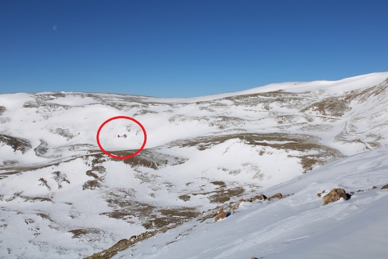
Here I heard another loud buzzing and saw a helicopter fly overhead. It didn’t look like a rescue helicopter.
Here’s the path the road takes back down
I made it back to where I’d put on my snowshoes, took them off, and turned right onto 12 and followed it back to my truck. About halfway back my microspikes broke, both of them, so I guess it’s time to get out the needle nose pliers again. I made echoing clanking sounds as the chains scraped the dirt as I walked the rest of the way back.
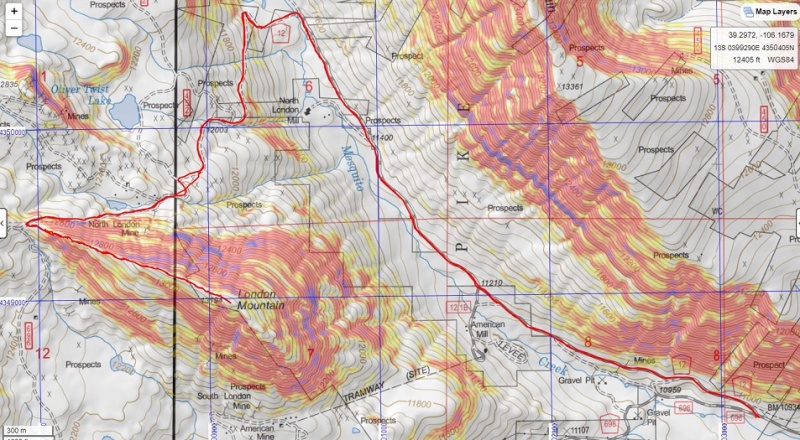
I made it back to my truck at 10:45am, making this a 10.63 mile hike with 2305’ of elevation gain in 4 hours, 45 minutes
Here’s a topo map of my route:
Thumbnails for uploaded photos (click to open slideshow):
Cool about the plane! When I was in area last month my hiking partner and I counted about 25 planes we saw that day. None were low flying though like the one you saw though!
What's with Mosquito Gulch and planes? When I was up there a year and a half ago I saw a couple of VTOL aircraft fly overhead. I didn't think there was military activity in the area though? Leadville?
That was another nice report with wonderful photographs.
Caution: The information contained in this report may not be accurate and should not be the only resource used in preparation for your climb. Failure to have the necessary experience, physical conditioning, supplies or equipment can result in injury or death. 14ers.com and the author(s) of this report provide no warranties, either express or implied, that the information provided is accurate or reliable. By using the information provided, you agree to indemnify and hold harmless 14ers.com and the report author(s) with respect to any claims and demands against them, including any attorney fees and expenses. Please read the 14ers.com Safety and Disclaimer pages for more information.
Please respect private property: 14ers.com supports the rights of private landowners to determine how and by whom their land will be used. In Colorado, it is your responsibility to determine if land is private and to obtain the appropriate permission before entering the property.


")
")
")
")
")
")
")
")
")
")
")
")
")
")
")
")
")
")
")
")
")
")
")
")
")
")
")
")
")
")
")
")
")
")
")
")
")
")
")
")
")
")
")
")
")
")


