| Report Type | Full |
| Peak(s) |
"Peak Twenty One" - 13,084 feet Emerson Mountain - 13,147 feet Organ Mountain - 13,040 feet Amherst Mountain - 13,164 feet "Peak Twenty Two" - 13,107 feet Sheep Mountain - 13,073 feet Sheridan Mountain - 12,795 Point 12,442 Endlich Mesa - 12,490 Crevasse Benchmark - 12,311 |
| Date Posted | 04/21/2021 |
| Date Climbed | 09/06/2020 |
| Author | supranihilest |
| Additional Members | whileyh |
| Endlich Echos: Harvesting Organs | |||||||||||||||||||||||||||||||||||||||||||||||||||||||||||||||||||||||||||
|---|---|---|---|---|---|---|---|---|---|---|---|---|---|---|---|---|---|---|---|---|---|---|---|---|---|---|---|---|---|---|---|---|---|---|---|---|---|---|---|---|---|---|---|---|---|---|---|---|---|---|---|---|---|---|---|---|---|---|---|---|---|---|---|---|---|---|---|---|---|---|---|---|---|---|---|
Table of ContentsSunday, September 6, 2020: Day 2 - "Peak Twenty One", Emerson Mountain, Organ Mountain B, Amherst Mountain, Sheep Mountain D, Sheridan Mountain (12,795'), Point 12,422 Sunday, September 6, 2020: Day 2 - "Peak Twenty One", Emerson Mountain, Organ Mountain B, Amherst Mountain, Sheep Mountain D, Sheridan Mountain (12,795'), Point 12,422 After a good night's sleep Whiley and I awoke late. We scarfed down our breakfasts, gathered water, and began once again with a casual start - 9:45am. We knew today was going to be the biggest and hardest day on the trip, but with bluebird weather we weren't worried. We headed north on the Endlich Mesa Trail, then instead of taking it up Crystal Valley like the day before, we left the trail northeast to avoid cliffs and steep terrain, and then headed east once we were past it. 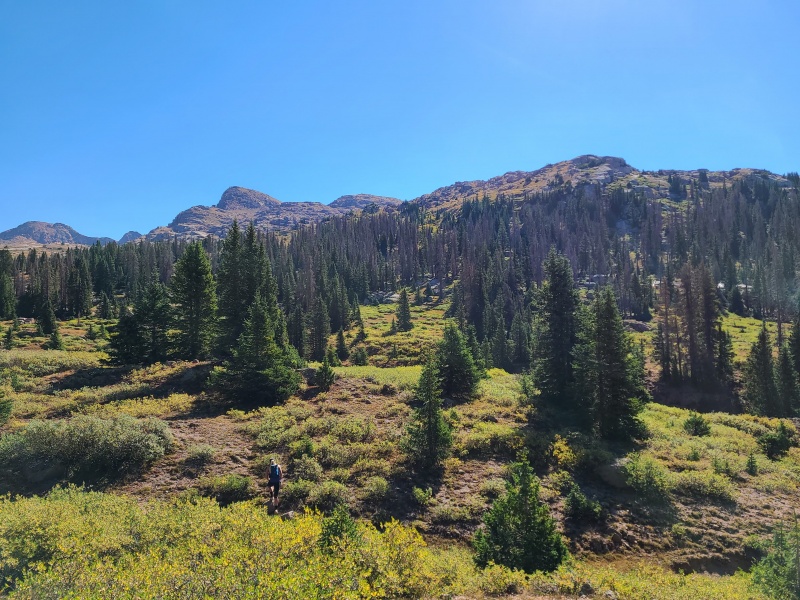
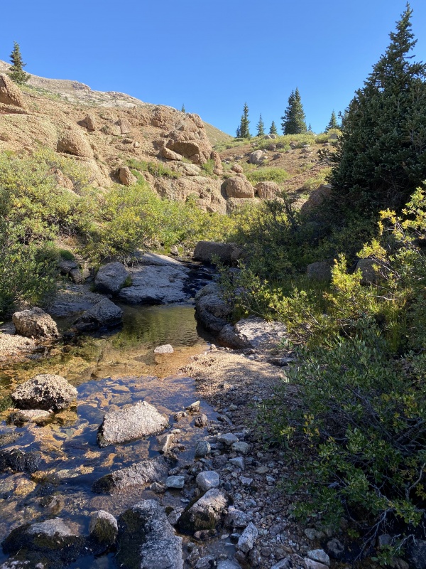
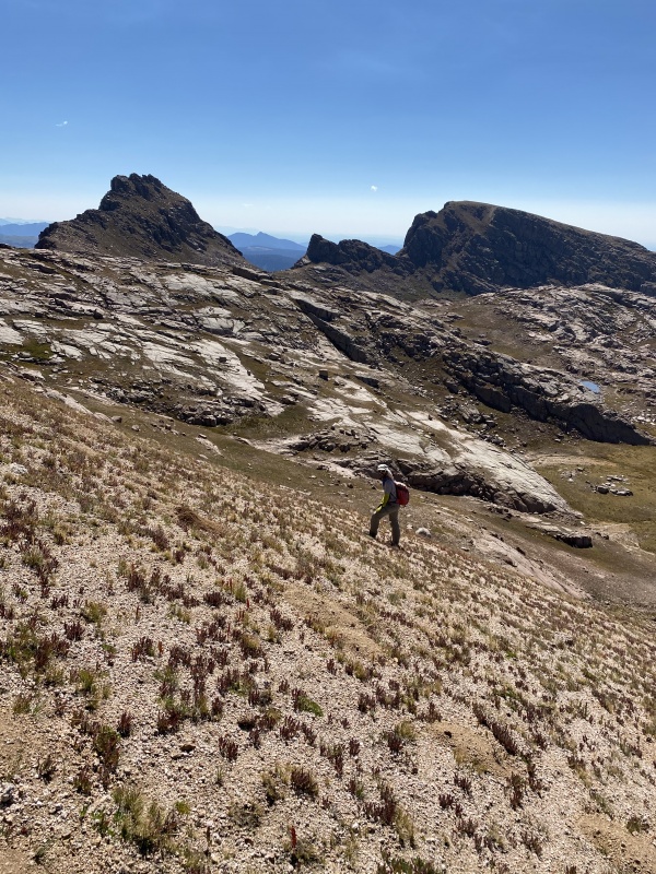
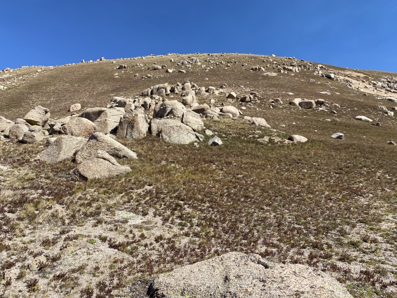
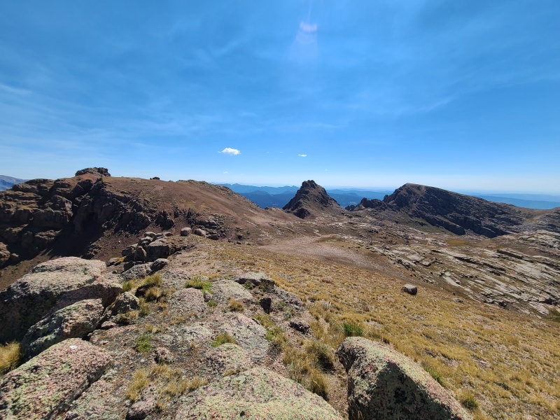
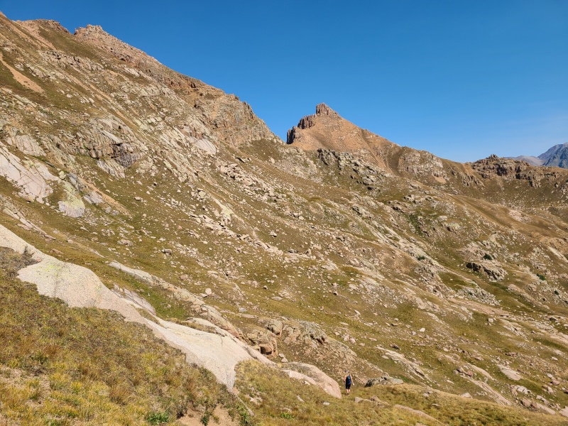
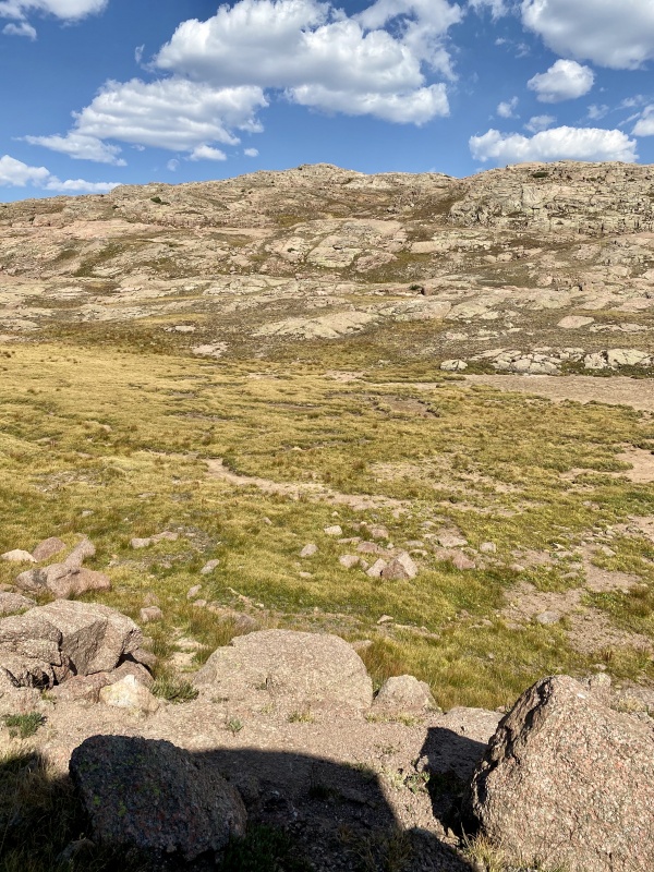
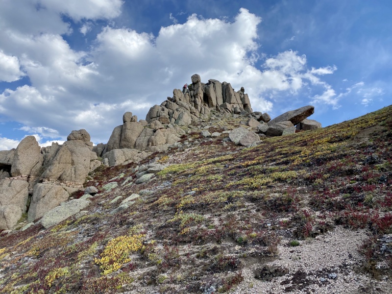
Our hike took us past a charming and beautiful drainage from the north, and continued up grassy slopes littered in granite boulders, blocks, and slabs. 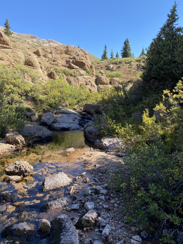
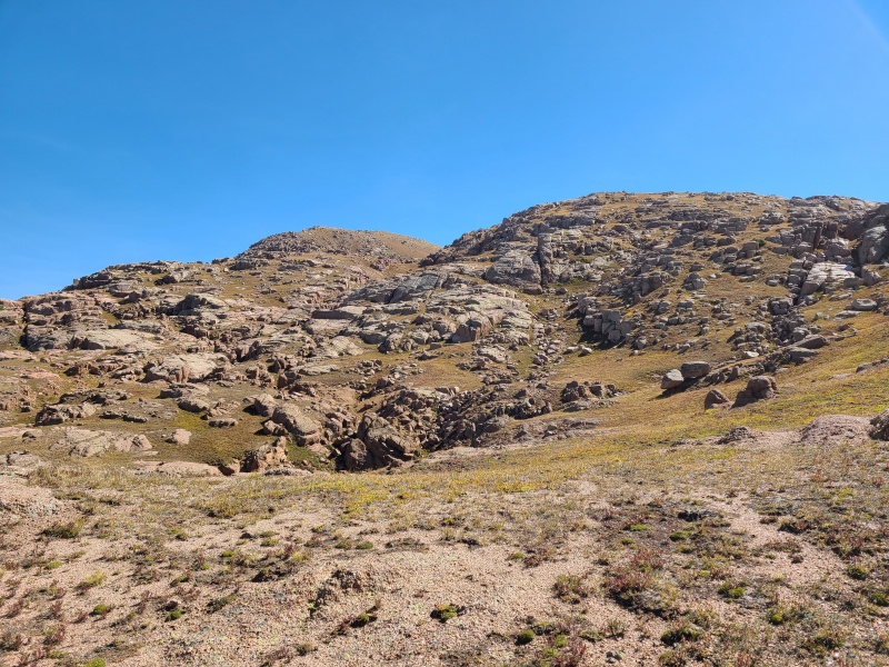
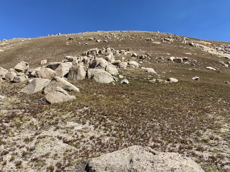
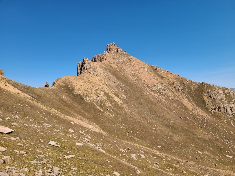
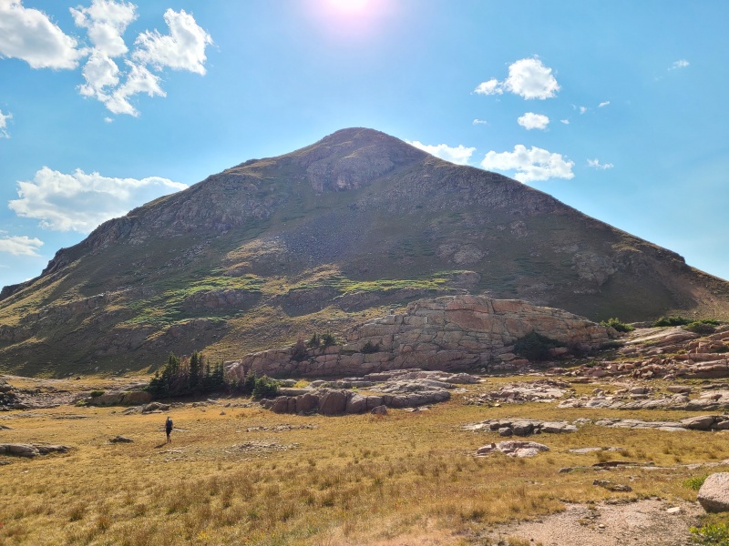
Some of the gullies and depressions that rolled across the hillside were a bit funky to cross, either requiring some route finding and/or scrambling, or just being choked with broken rock, but we didn't encounter anything too difficult and soon found ourselves underneath "Peak Twenty One"'s south slopes, which we attacked head-on. 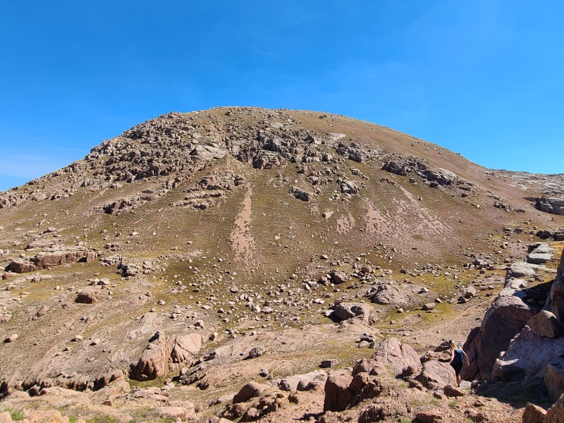
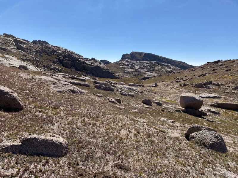
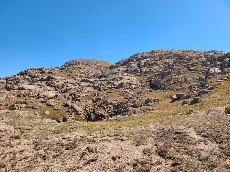
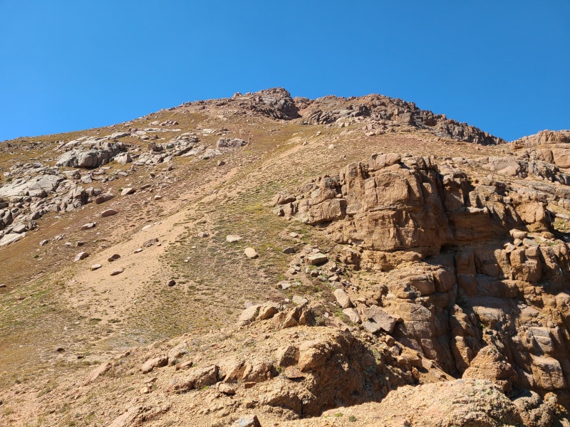
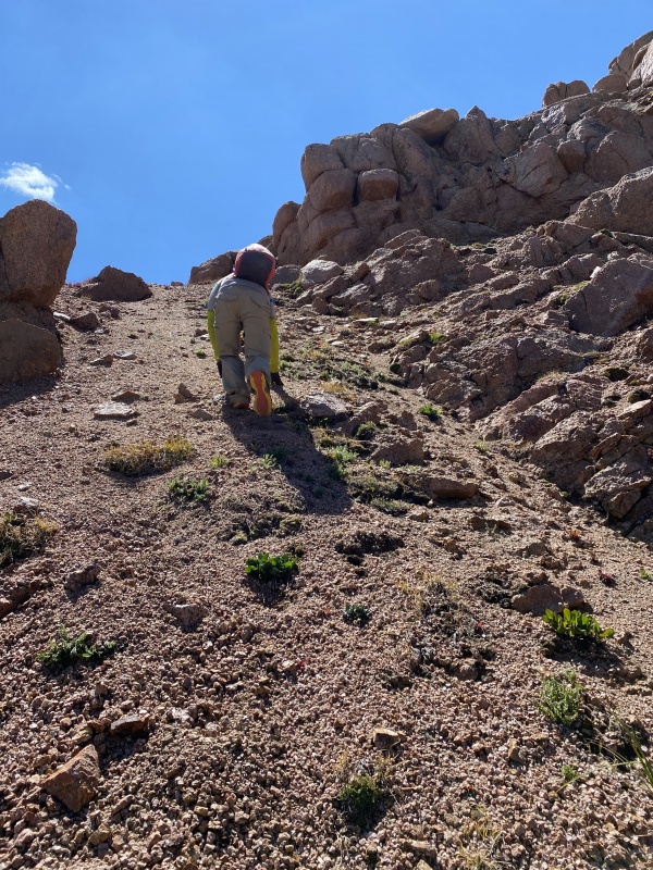
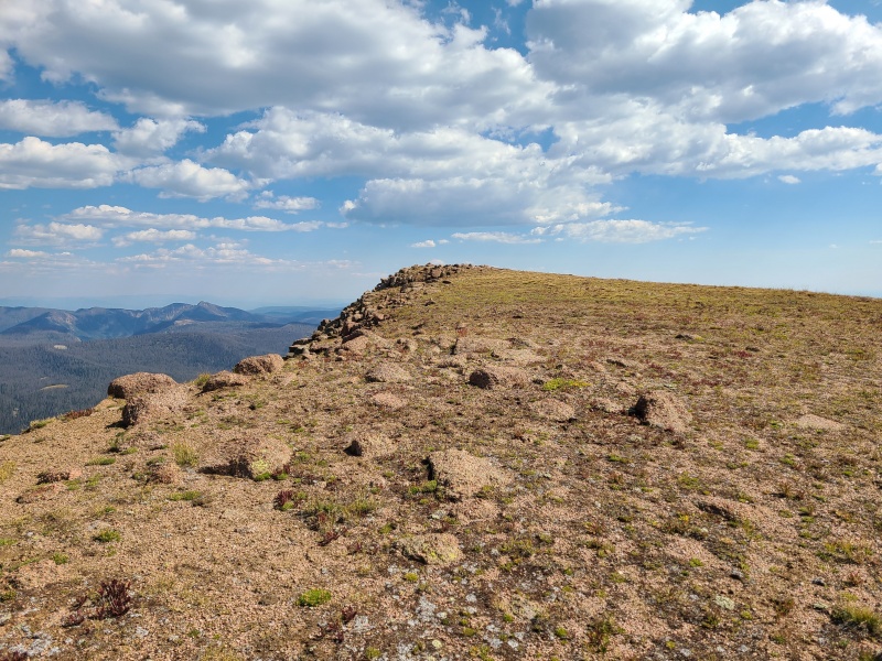
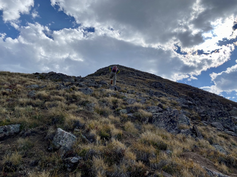
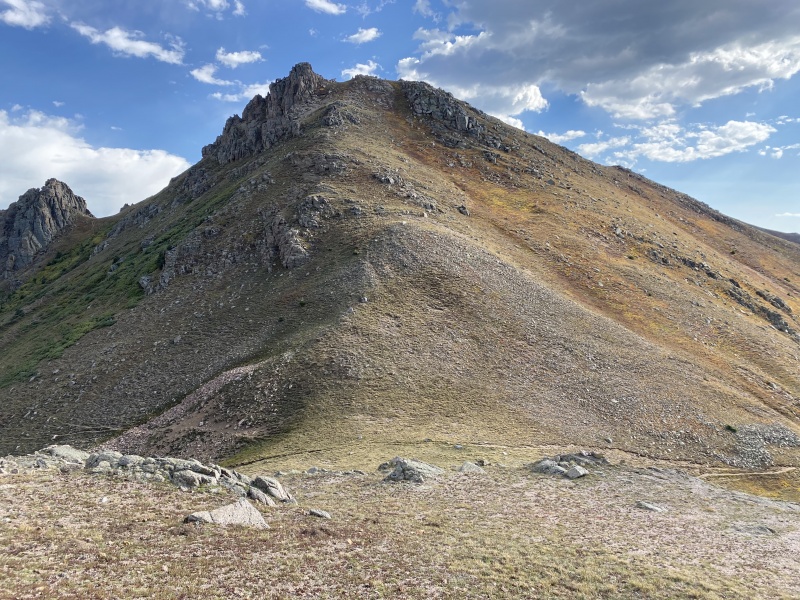
"Twenty One"'s south slopes were a mix of grassy little plants and decomposed granite gravel, not entirely nice to hike up. 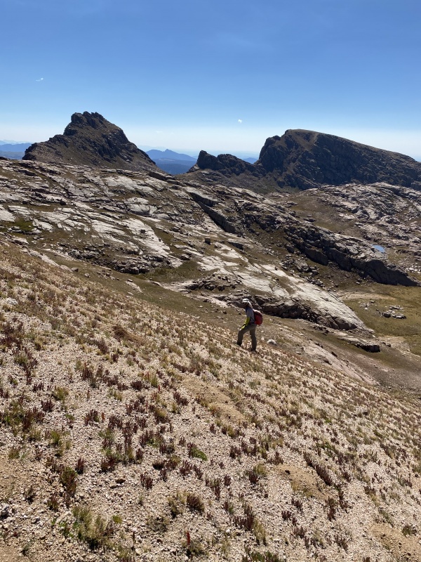
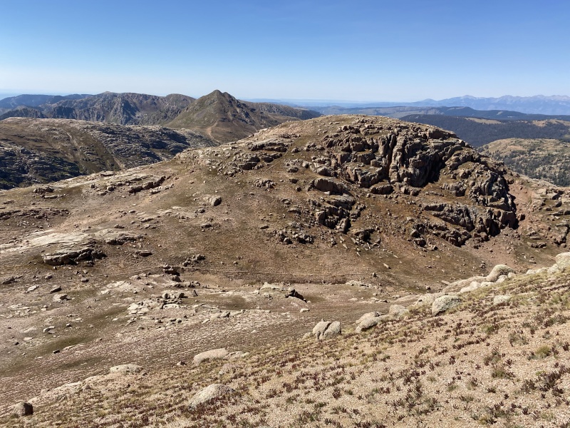
The summit of "Peak Twenty One" came quickly and went just as quickly. We marched over to soft-ranked thirteener, Emerson Mountain, less than 15 minutes away. 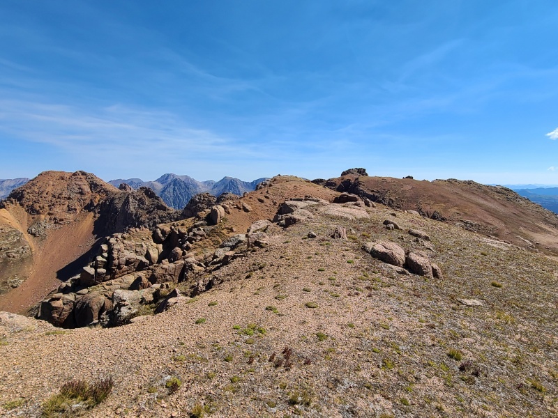
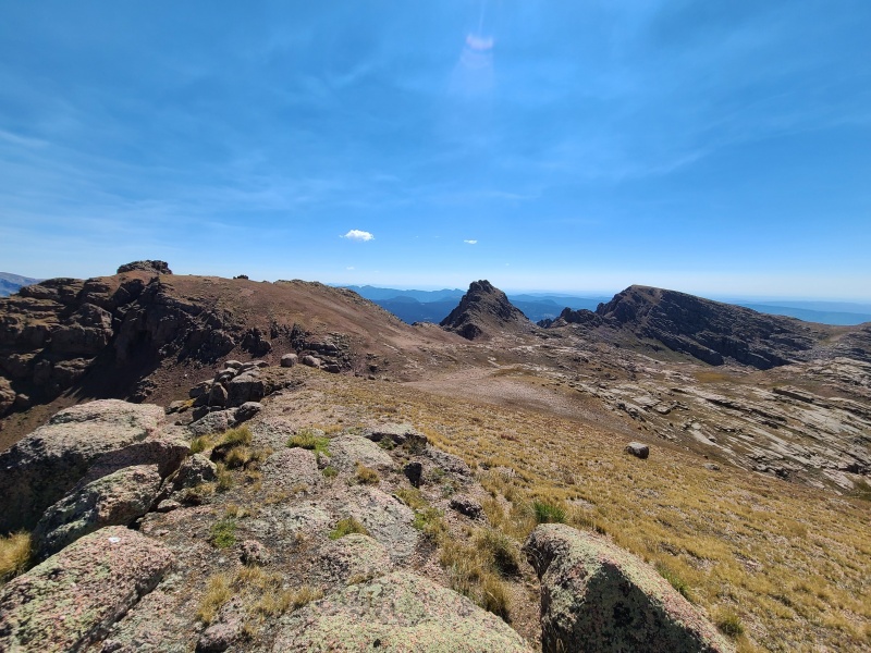
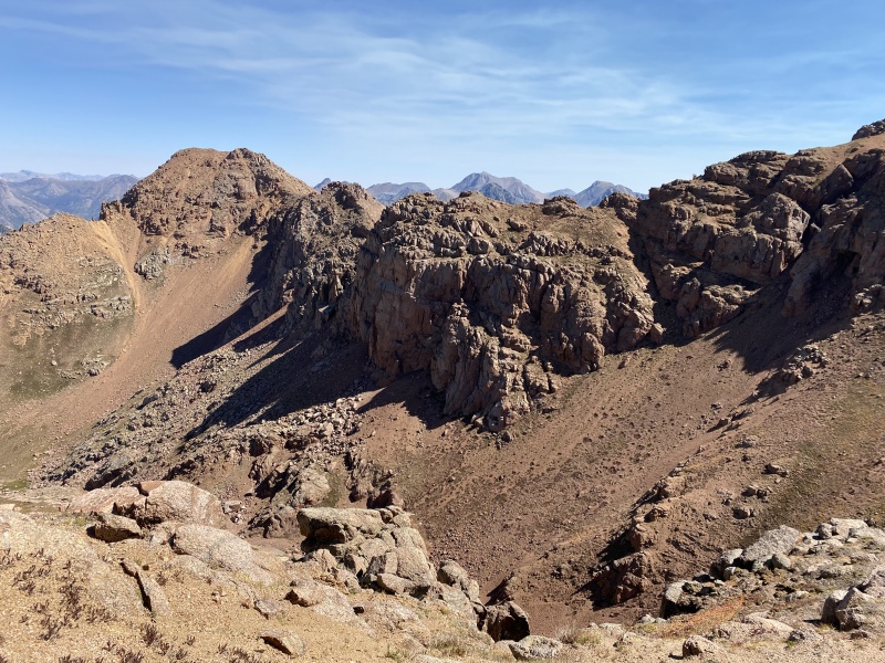
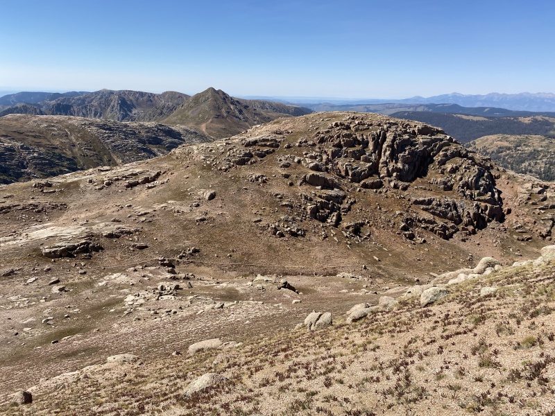
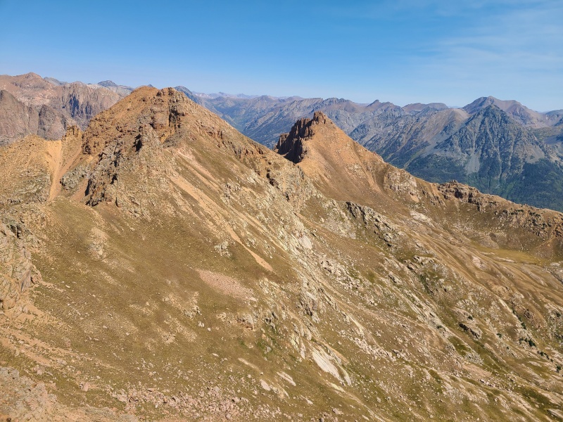
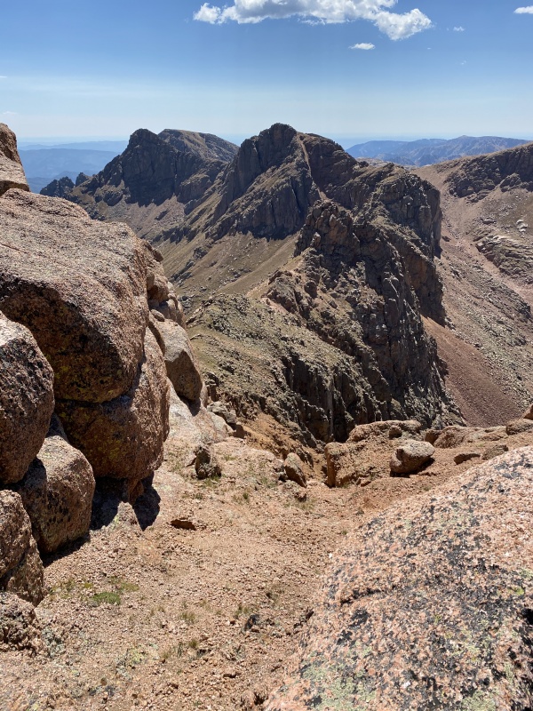
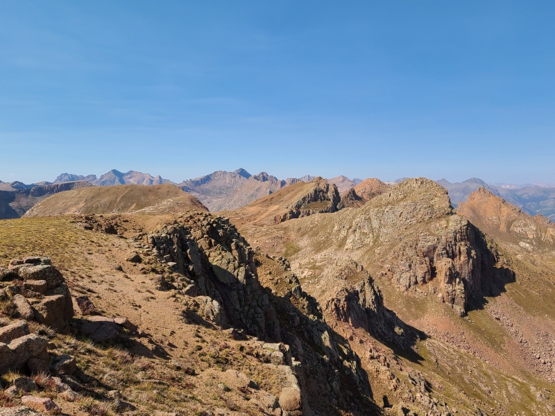
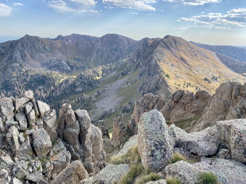
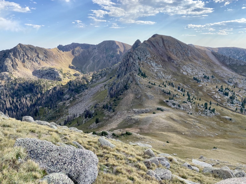
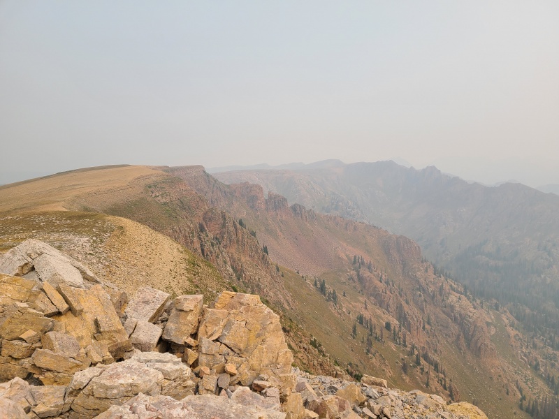
From Emerson our next two peaks, Amherst Mountain and Organ Mountain B, were dead obvious and rather far away. 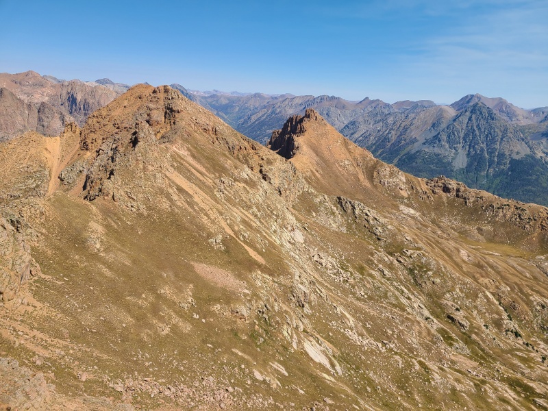
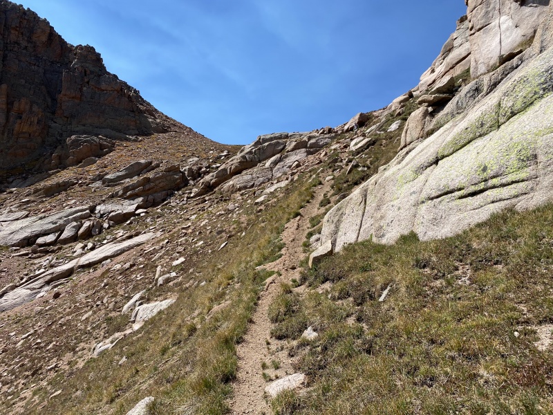
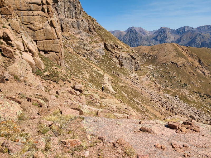
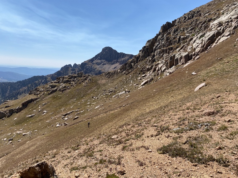
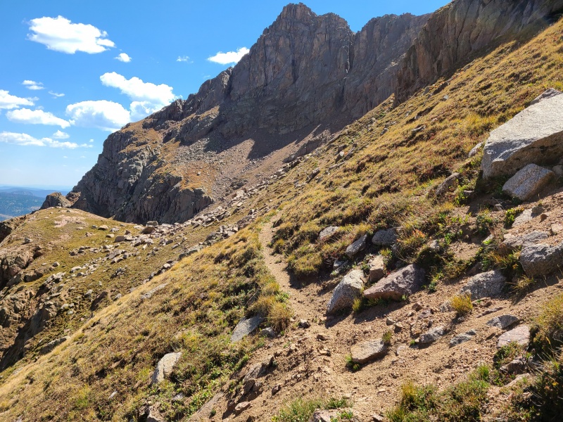
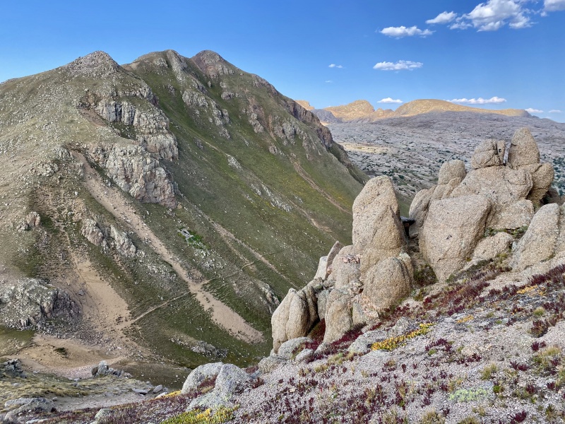
We hiked down to the saddle between Emerson and "Peak Twenty Two", continuing northeast down a trail that cut across the slope east of Emerson and Amherst. The trail isn't marked on maps so it must be a game trail. The initial section is steep and loose gravel with some messy switchbacks, but once below all the cliffs it levels out and is a godsend for the traverse to Amherst and Organ. 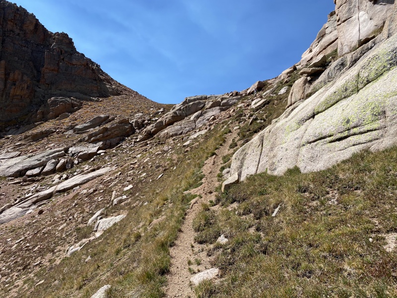
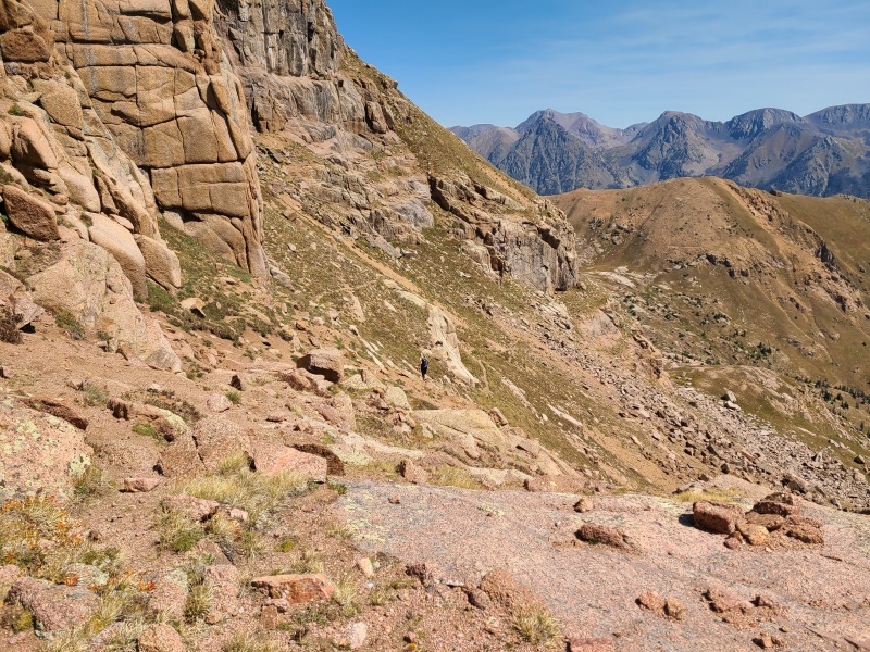
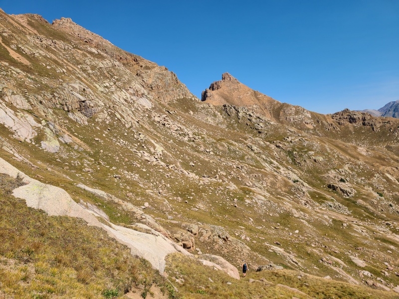
There's some minor up and down along the way, and the trail skirts the last and largest grassy rib farther to the east. Whiley went around the rib and I went over it, and it was much faster to do the former. We met on the other side and made our way to the Amherst/Organ saddle. 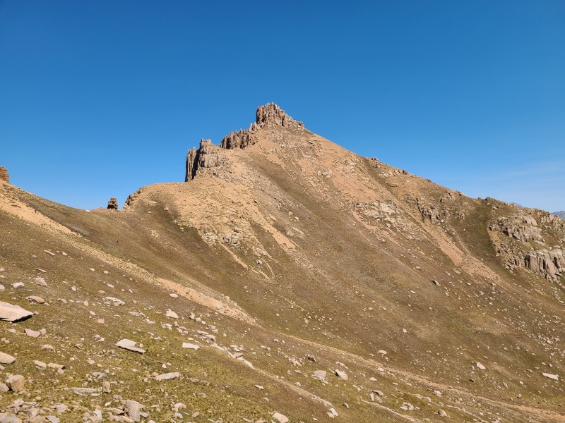
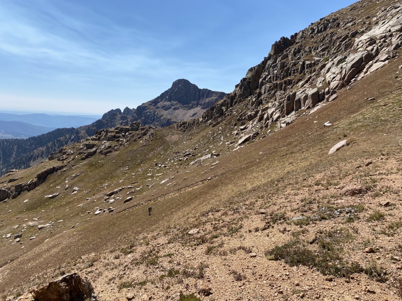
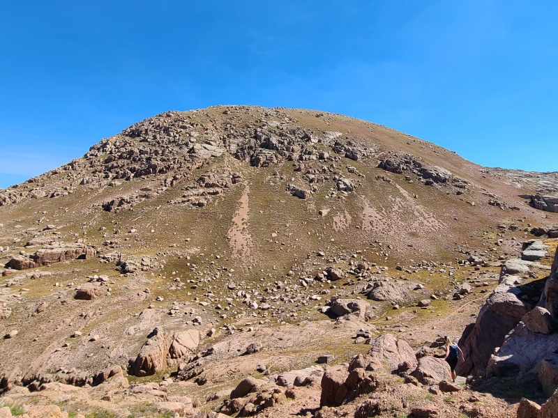
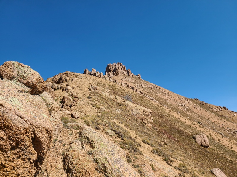
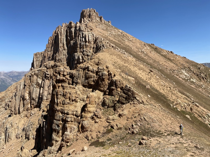
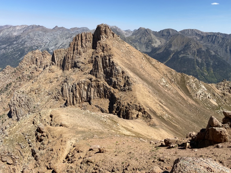
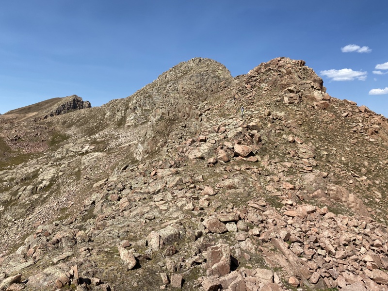
Getting up Organ was going to be one of the day's cruxes. It was steep and appeared to be almost entirely composed of granite scree, with the exception of a scramble up the summit block. 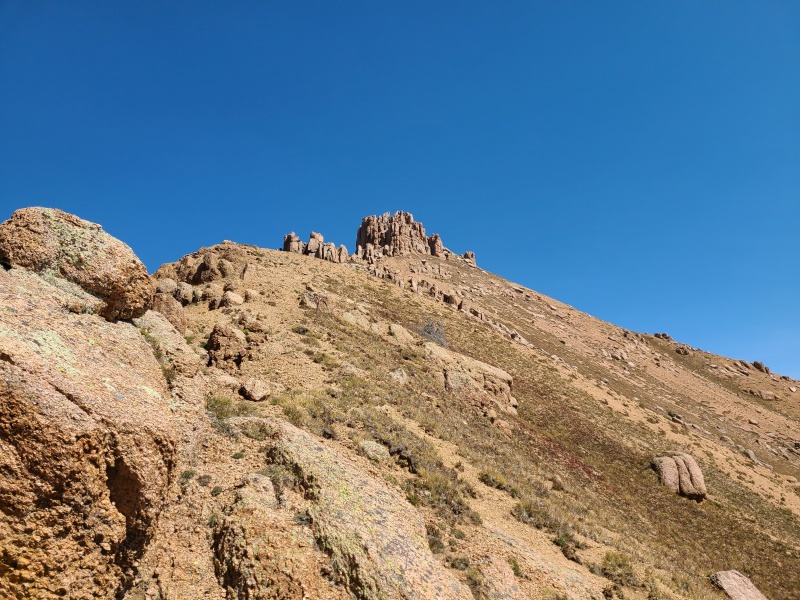
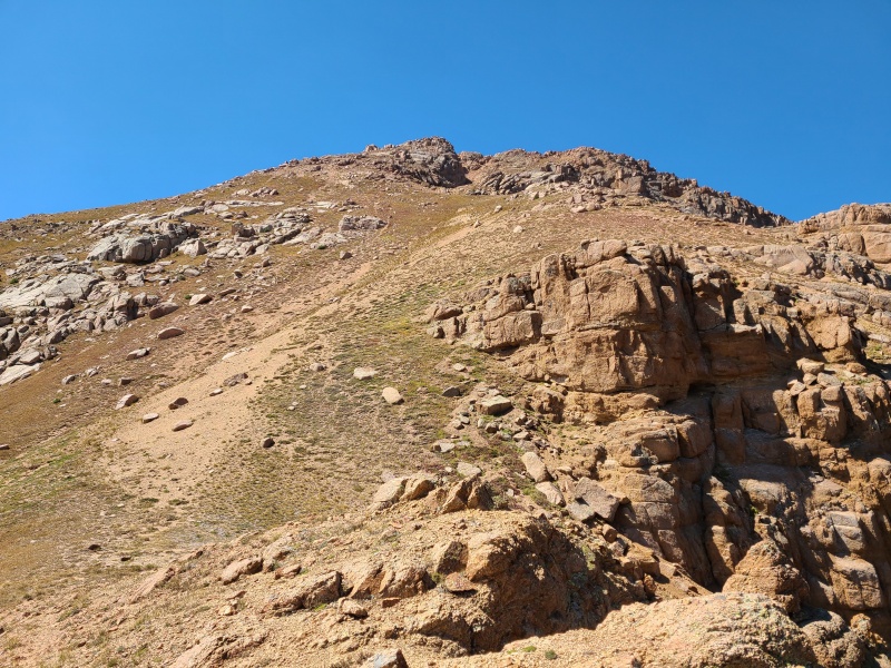
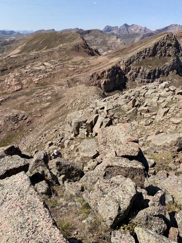
We slipped and slid our way up the steep slope and made our way around to the east side of the summit block. 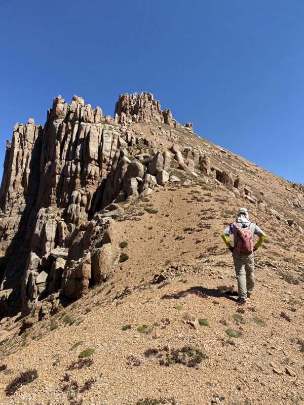
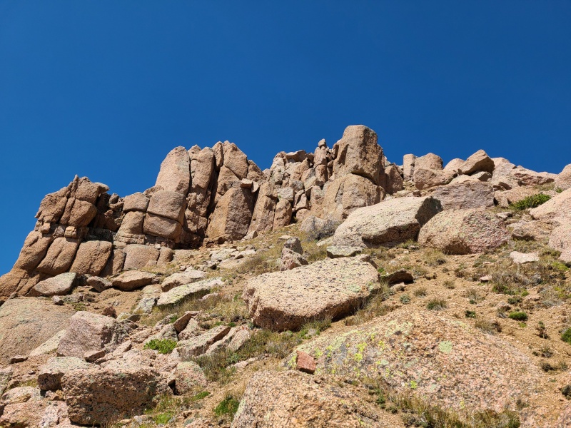
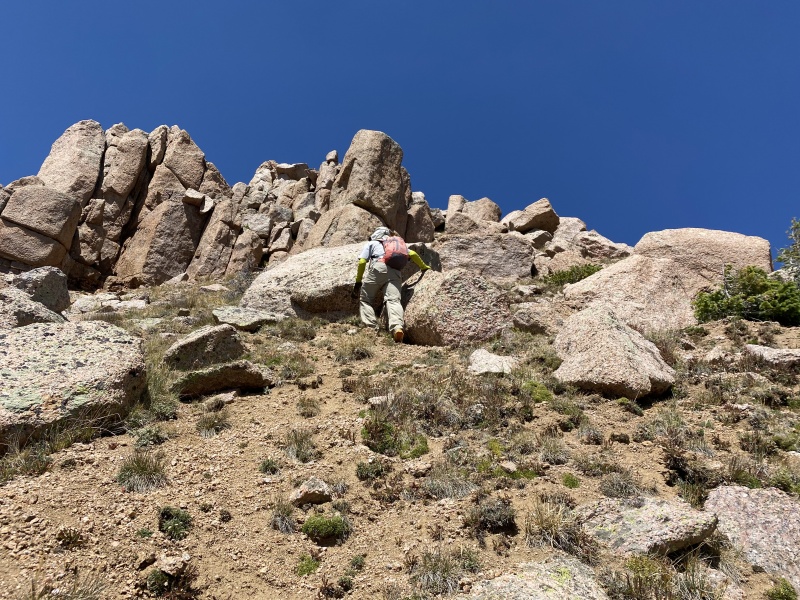
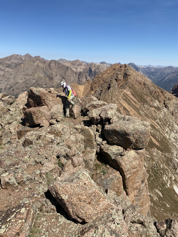
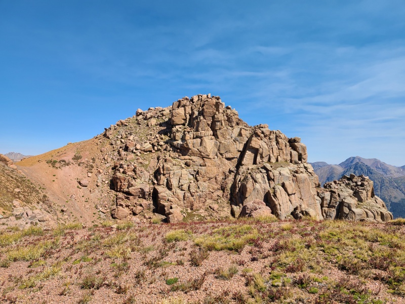
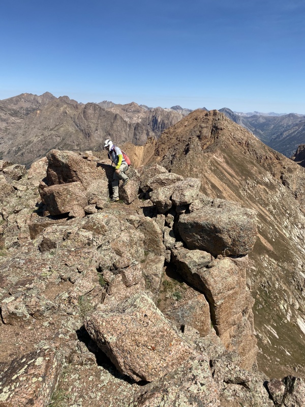
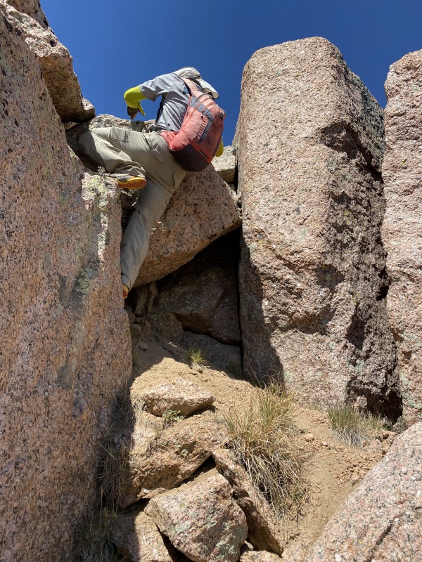
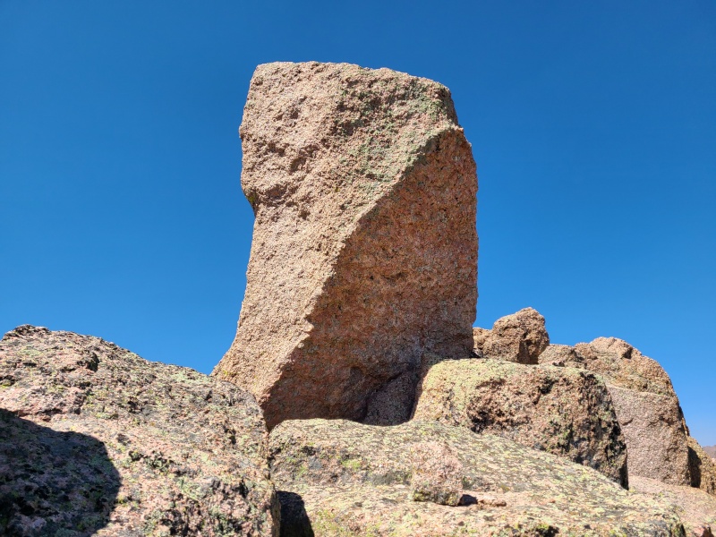
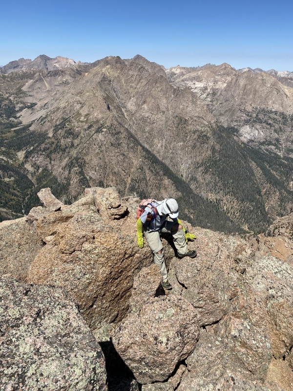
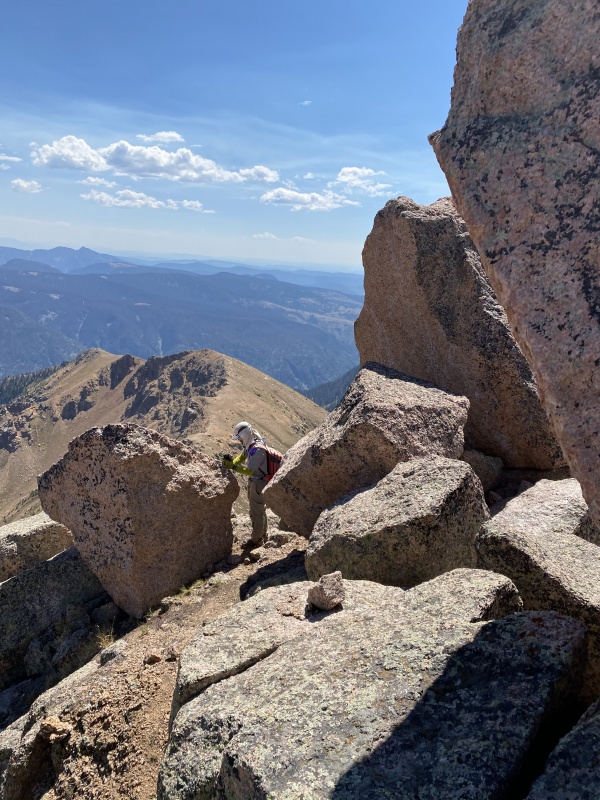
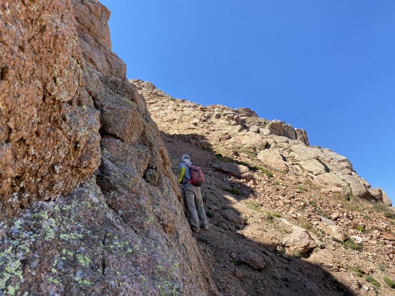
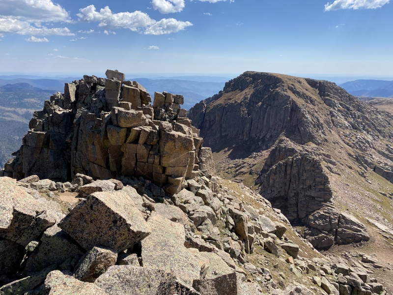
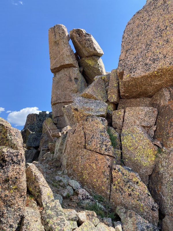
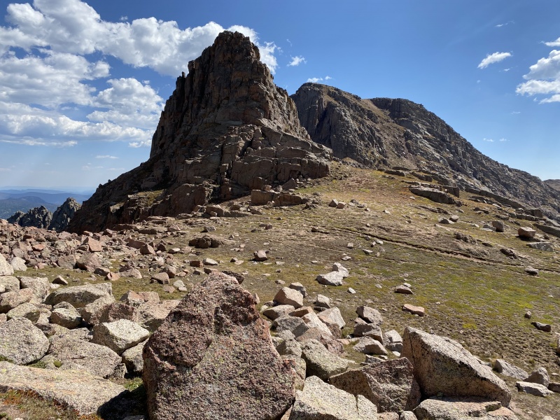
For the most part the scrambling to Organ's summit was easy. There were a few short sections of Class 3 and then a singular, rectangular stone standing above the rest. The backside of the summit block's summit block proved to be easy with a helper block to get a boost on. 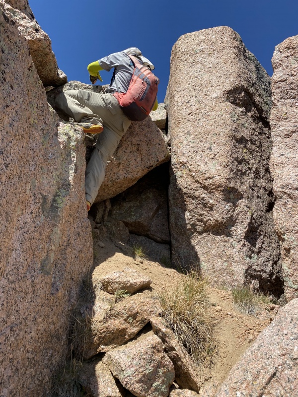
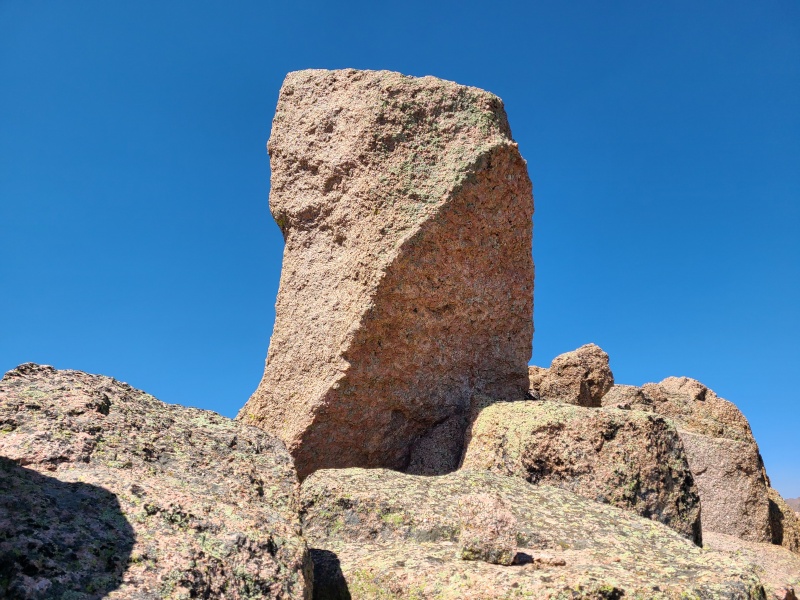
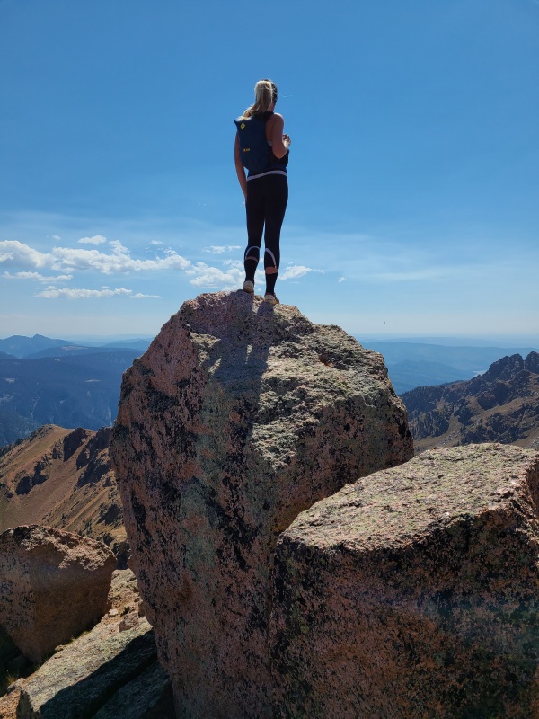
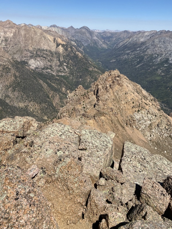
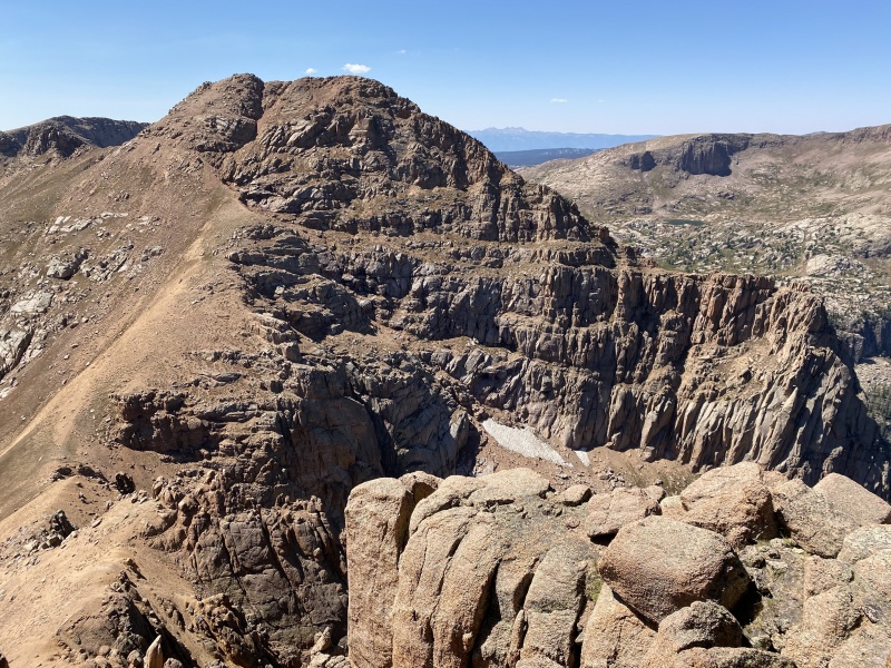
It was stupid hot by this point in the day and we had so much left to go so we didn't stay long. 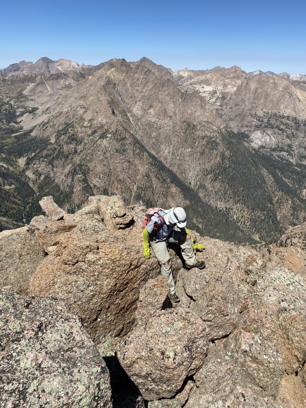
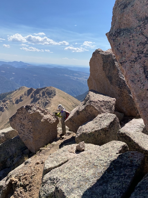
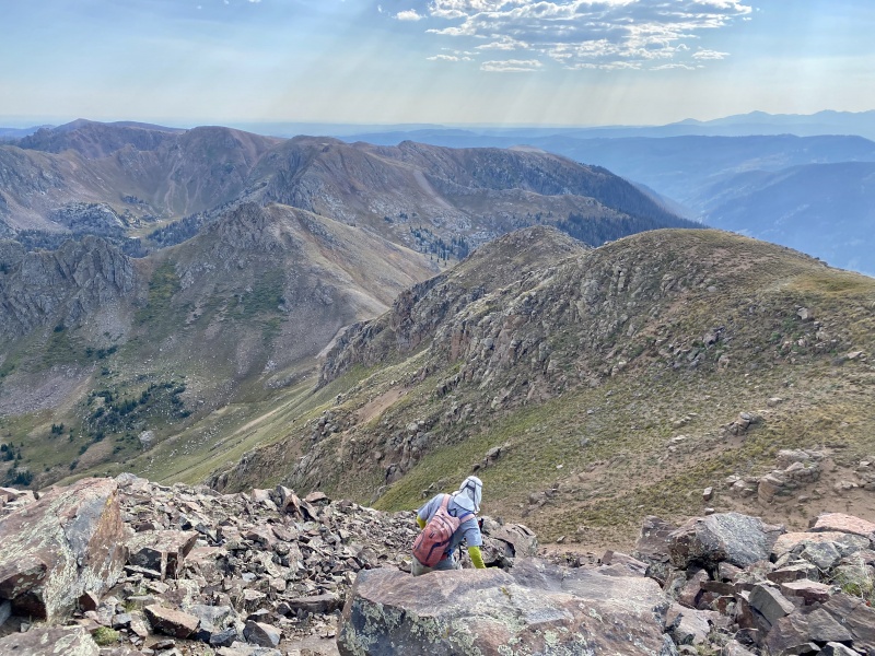
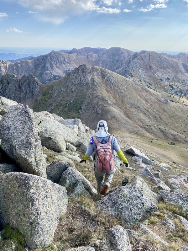
Going down Organ was much easier than coming up, since we could just ski on our heels through the gravel. 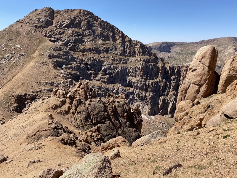
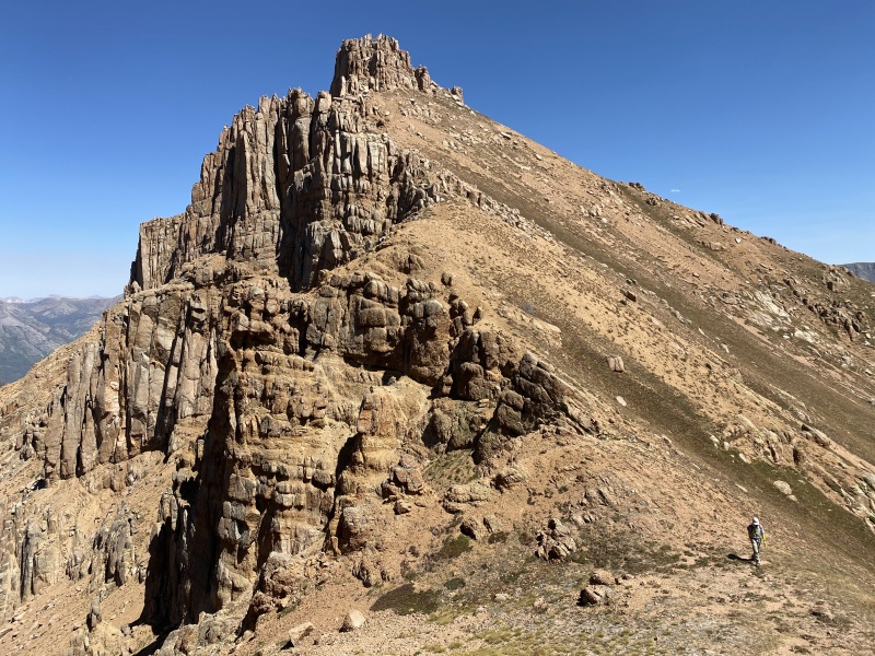
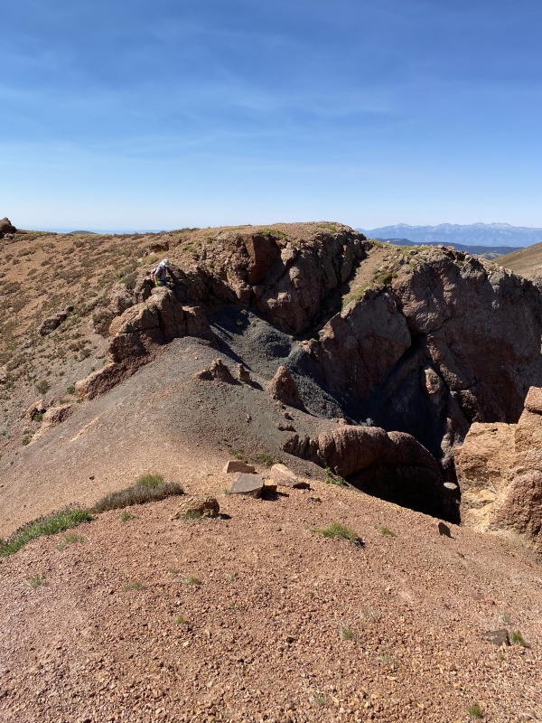
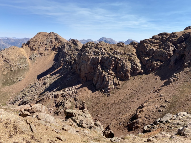
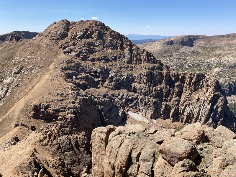
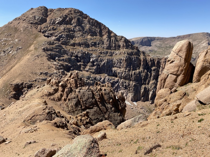
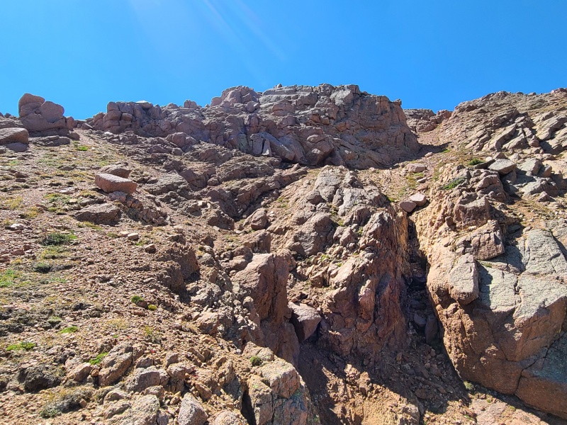
From the saddle we began ascending Amherst, aiming for the obvious gully splitting the east face. Getting to the base of the cliffs near the gully was no problem, but then there was a hairy, tenuous Class 3 traverse to get to the bottom of the gully. To climb up the gully required Class 2+ scrambling on extremely loose and highly exposed gravel which funneled into another gully system that ran into Vallecito Basin. A fall would probably mean death, so we retreated and looked for a different way. 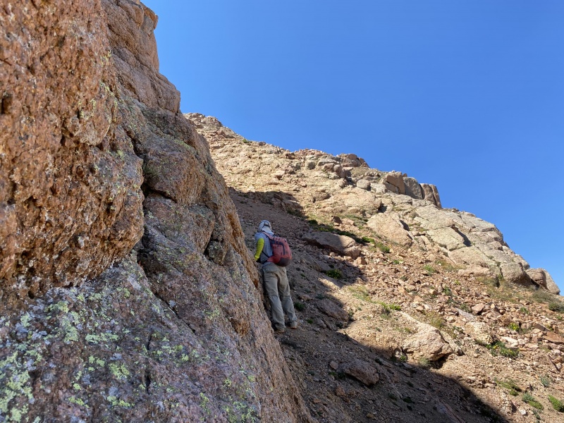
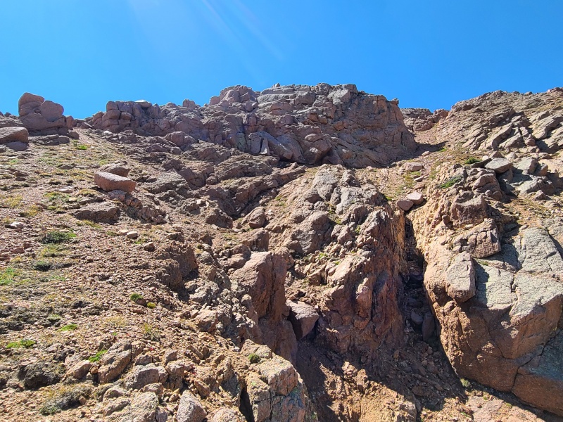
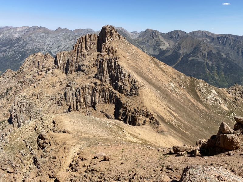
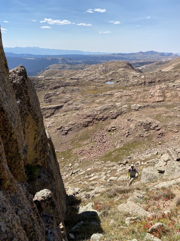
We traversed south around the cliffs and then up another gravel slope. This one was somewhat exposed, very loose, and fairly steep, but didn't reach the critical combination of sketch like the gully system. All in all it was another few hundred feet of clawing our way up, two steps forward and one step back. 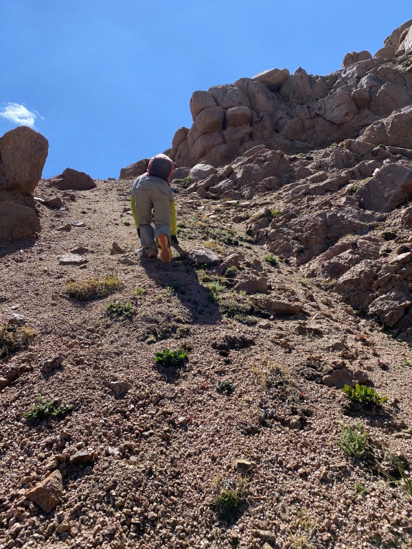
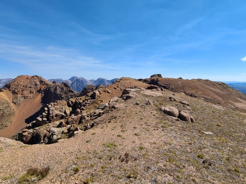
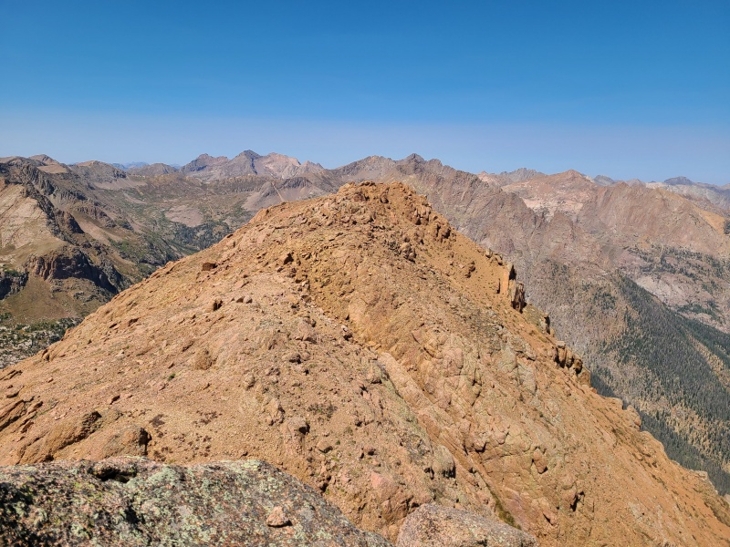
Amherst had two summits. We weren't sure which was which so we scrambled back and forth between the two. The rock on the summit ridge was terrible but the scrambling easy at Class 2+. 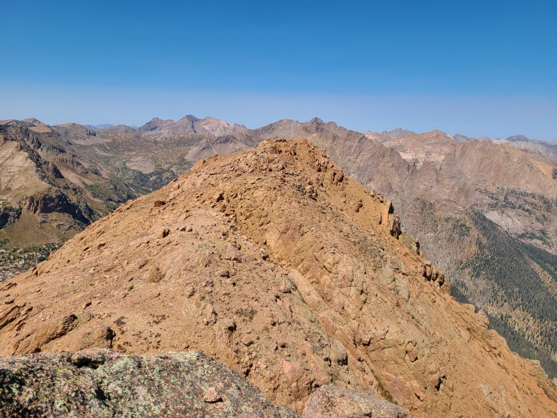
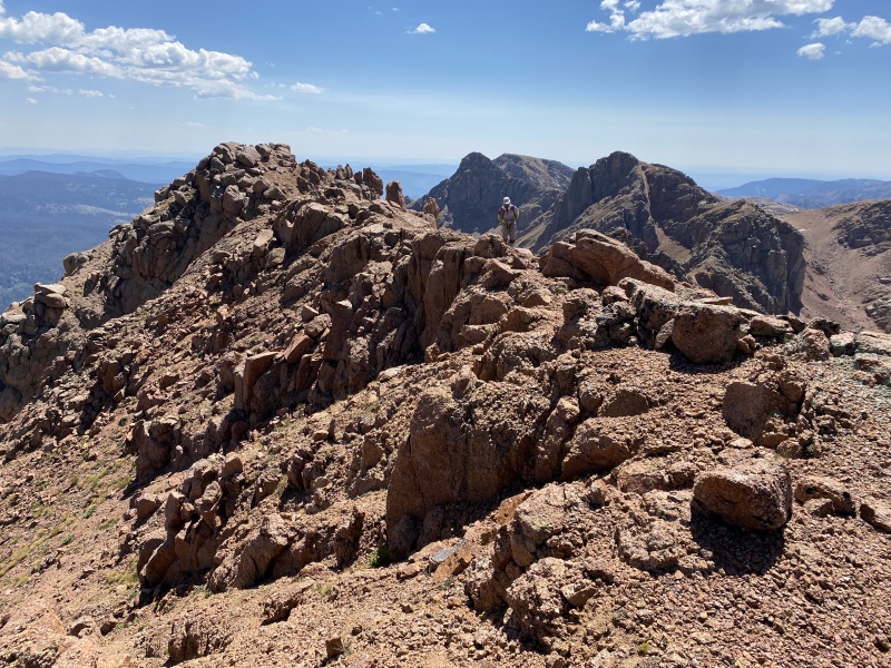
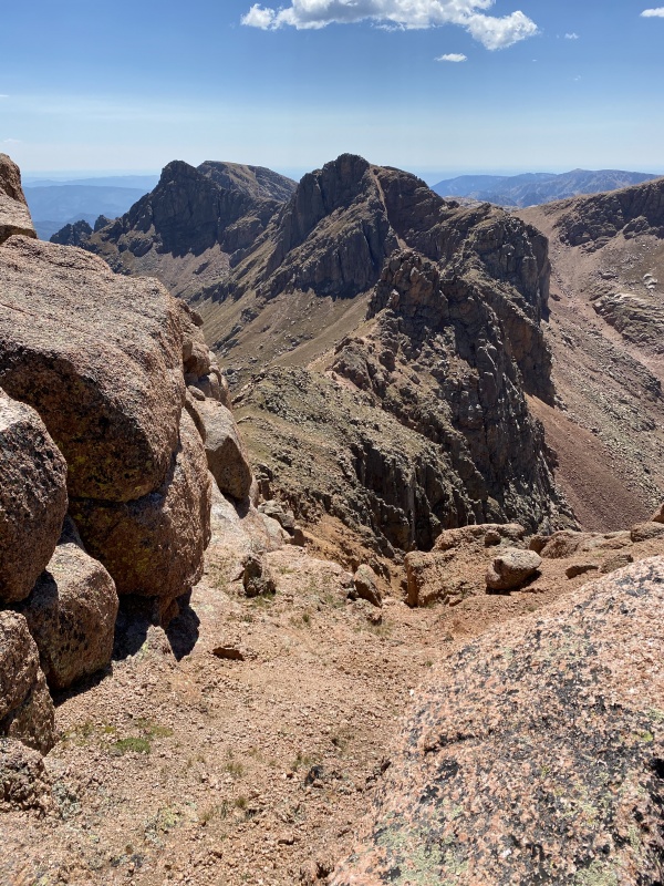
While Organ at least had a nice summit scramble, there was nothing nice whatsoever about Amherst. We quickly reversed the summit ridge and scree skied down the choss and back to the trail. 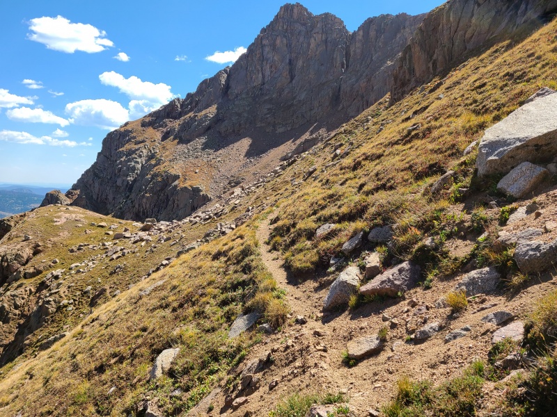
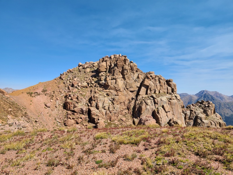
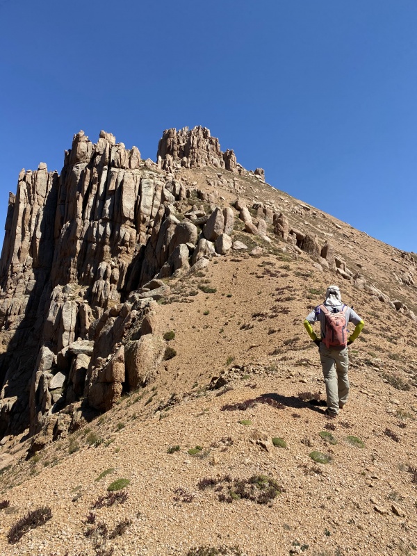
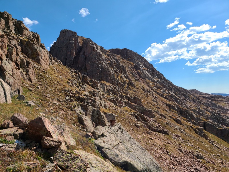
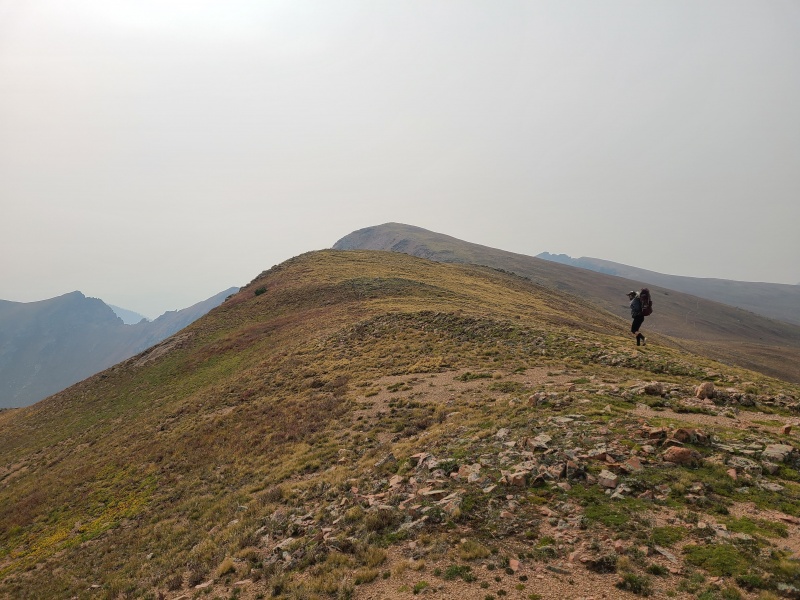
Once we'd climbed back out of the basin we continued south across open country towards "Peak Twenty Two". "Twenty Two" reminds me a lot of one of my favorite thirteeners, Point 13,001 in the Sawatch - basically a big, improbable looking fin of rock that proves to be both easier and more fun than it looks. 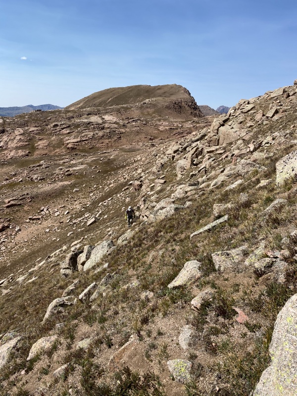
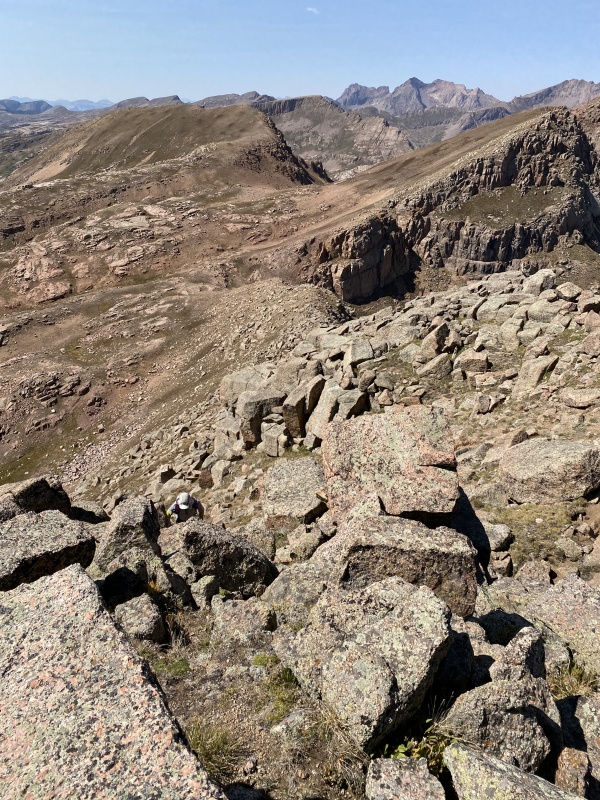
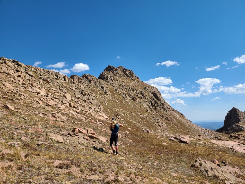
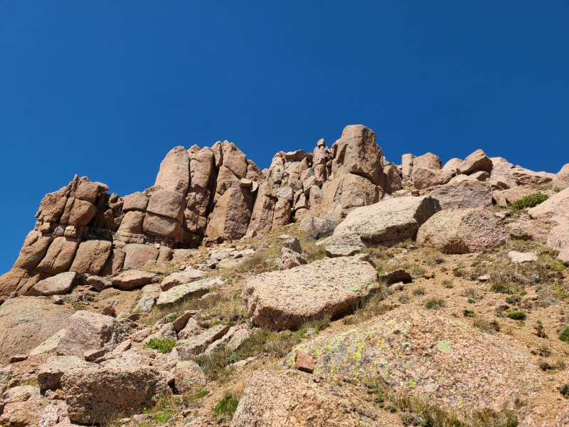
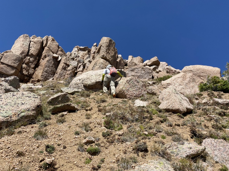
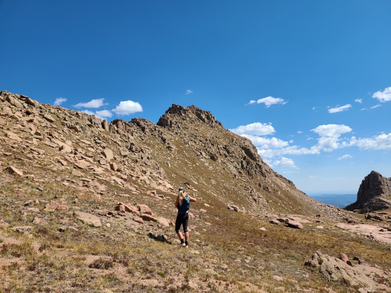
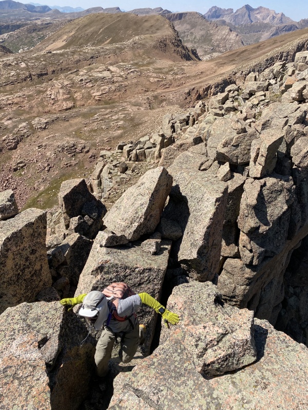
The steep grass slopes on "Twenty Two" led up to some fun Class 2+ and Class 3 scrambling on excellent granite boulders. 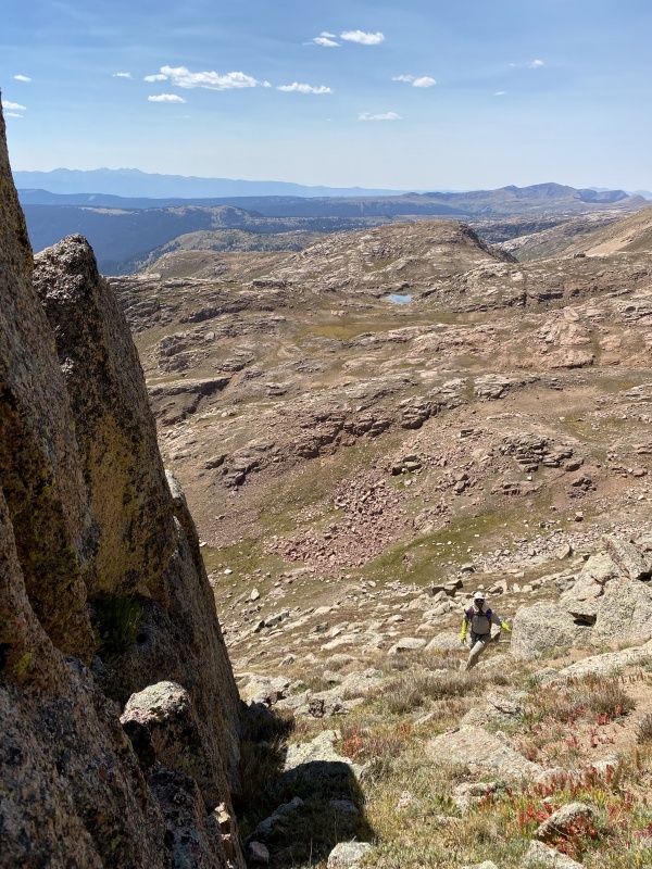
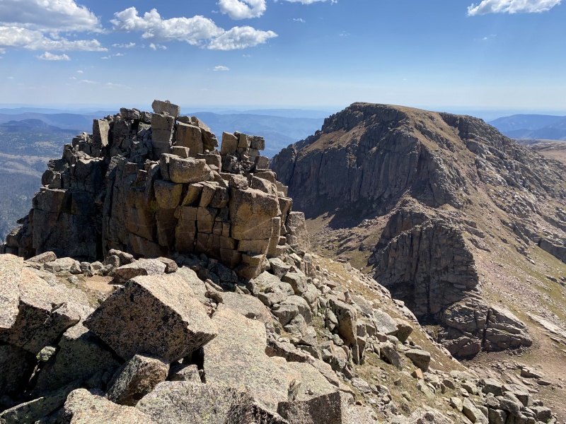
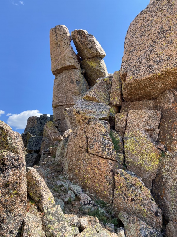
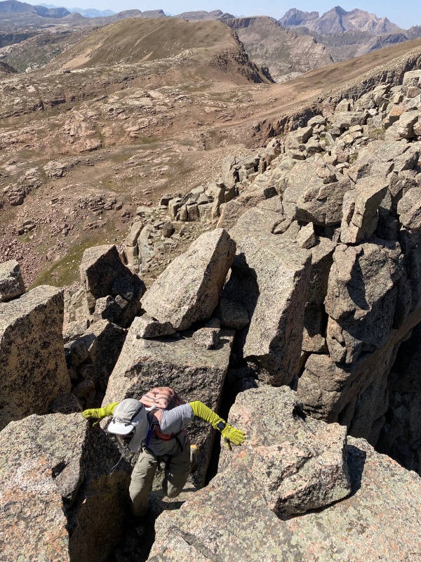
"Twenty Two" was one of the highlights of the day so far, along with Organ. The other peaks were just meh or, like Amherst, plain cruddy. We stayed for a few minutes on the summit and then returned north back to the grass. Whiley took a more direct line west down some minor scrambles while I stuck purely to hiking, then we turned south and traipsed over to Sheep Mountain D. 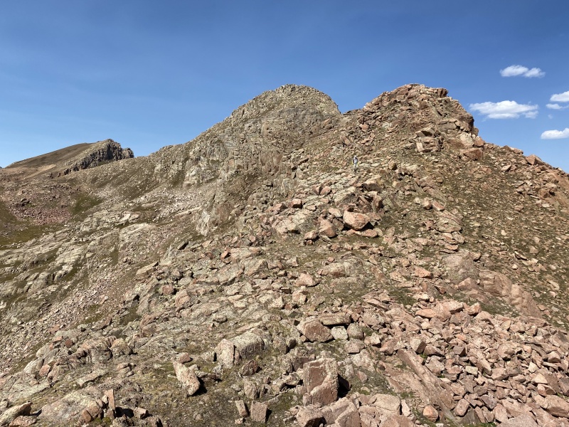
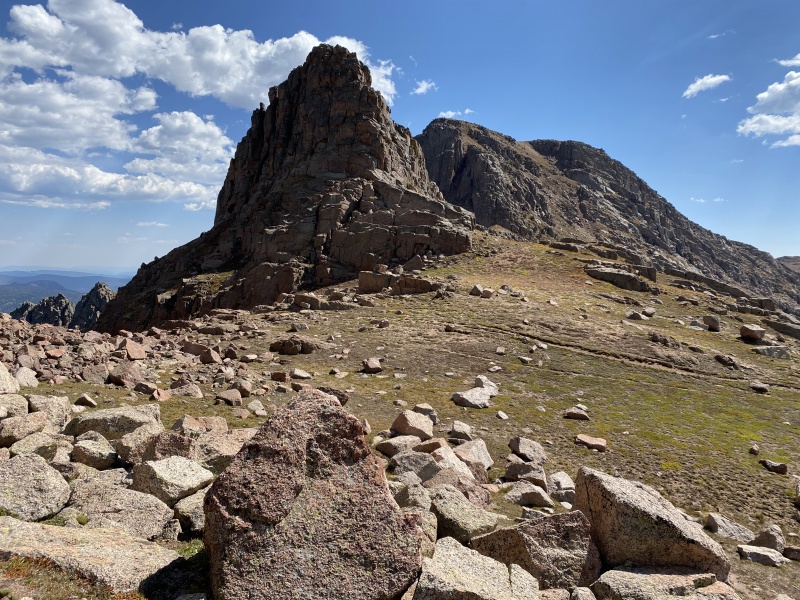
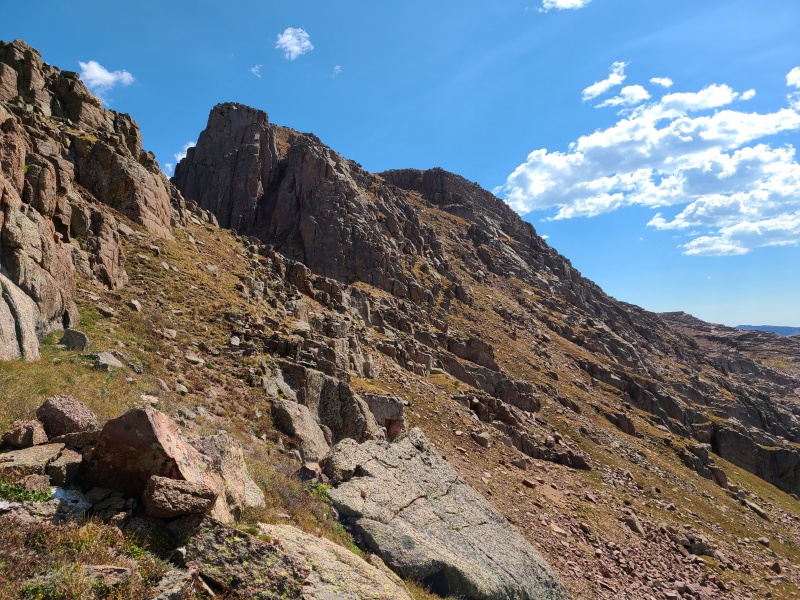
It was ridiculously hot by this time in the afternoon so we stopped for a short break in the shade of Sheep D's north face, then continued up yet another steep grass and gravel slope to Sheep D's summit plateau. 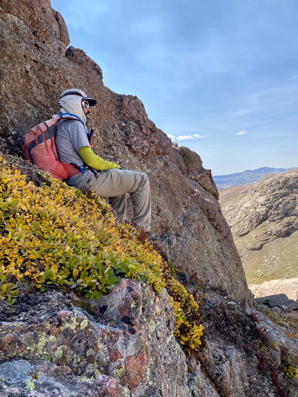
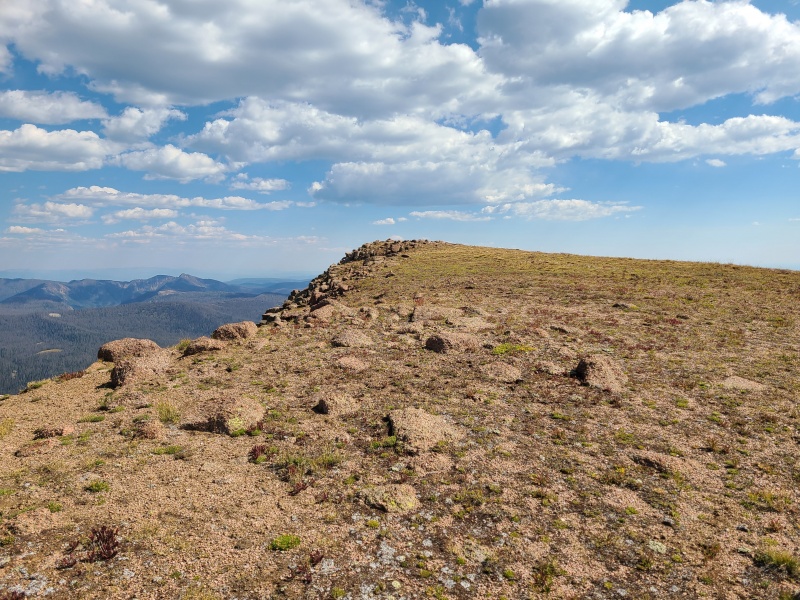
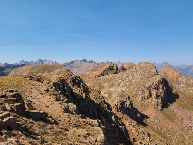
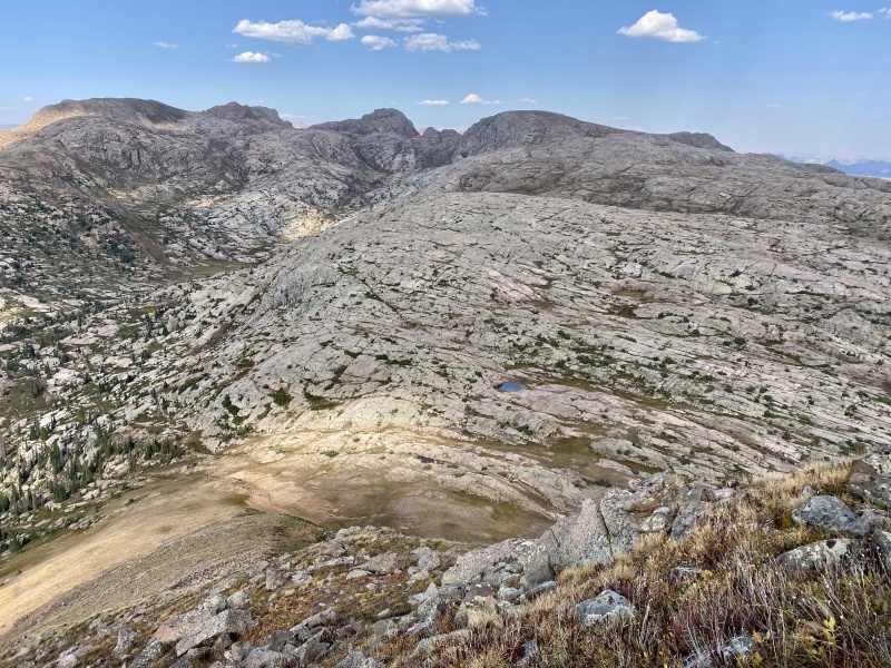
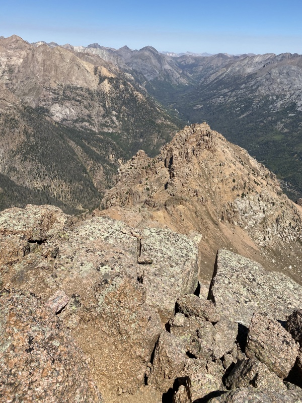
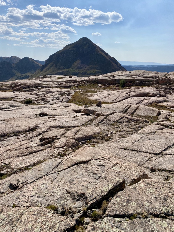
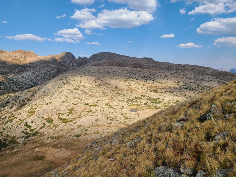
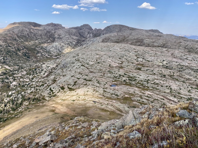
From Sheep we had two options: descend basically directly west back to our camp at City Reservoir or head southwest to 12,795-foot Sheridan Mountain. The choice was obvious. MORE PEAKS! Sheridan was quite prominent from Sheep, and Sheep's gentle southwest slopes took us into a nearly endless sea of granite slabs and blocks. 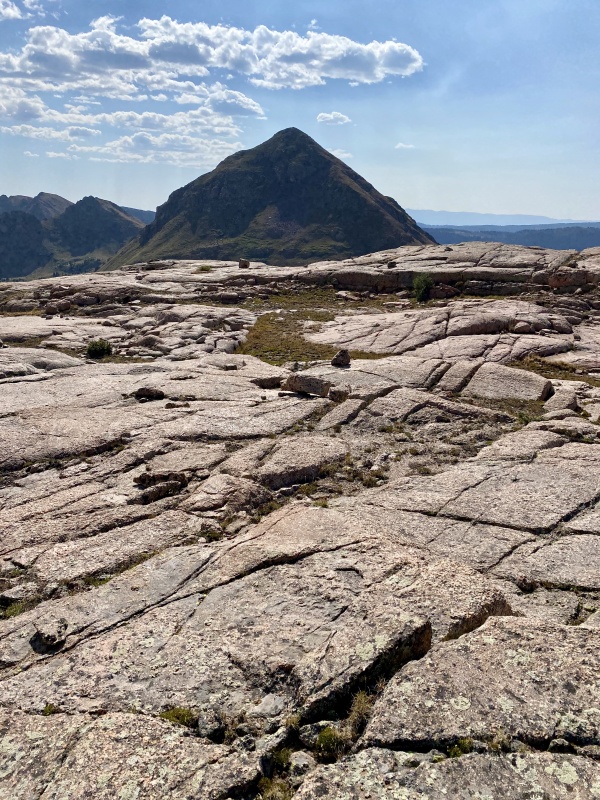
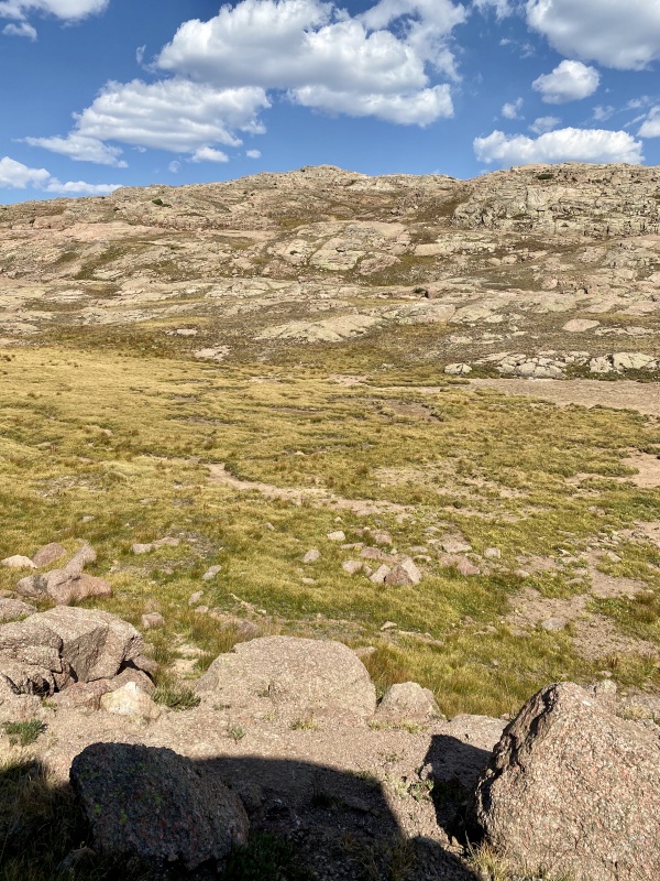
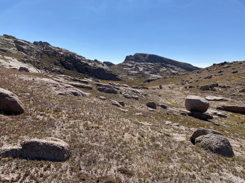
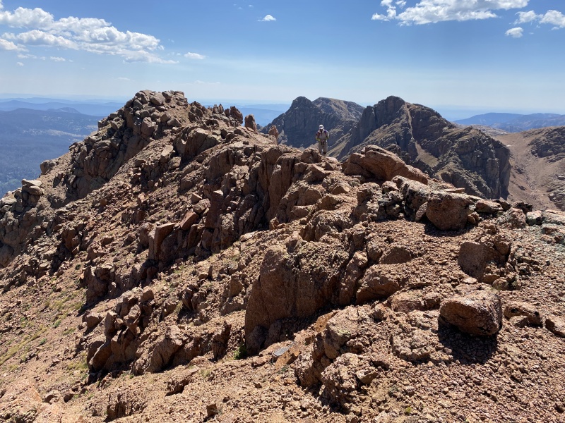
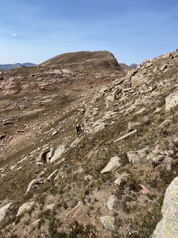
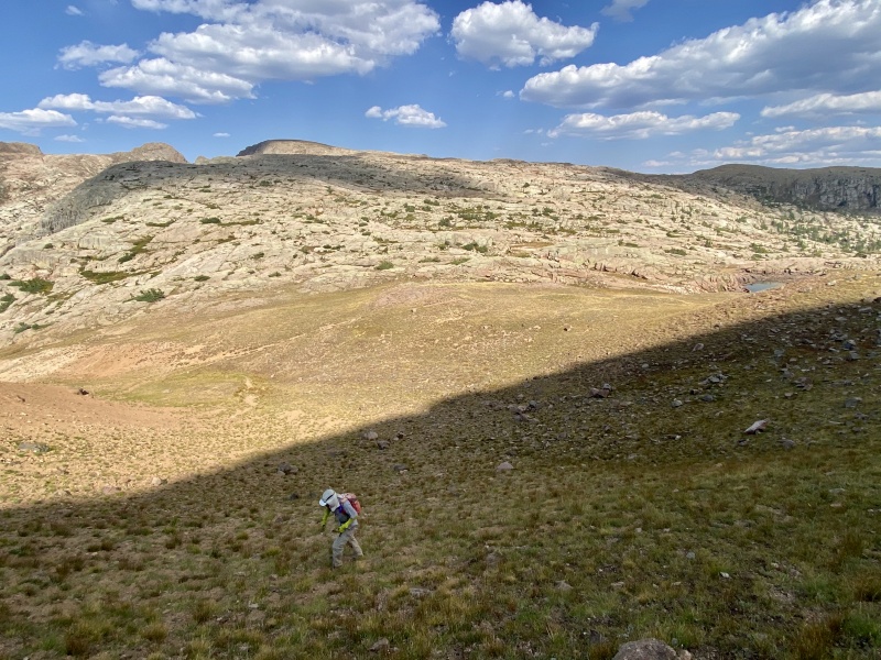
The traverse to Sheridan was probably the best part of the day. Weaving through the channels and breaks in the rock was a dream. Route finding for most of the traverse was complex and engaging but very enjoyable. This wasn't like route finding across a nasty, rotten ridge. Everything here was solid and just a ton of fun. We took our time, spilt up and took our own ways, rejoined and departed again. Sheep to Sheridan was sublime. 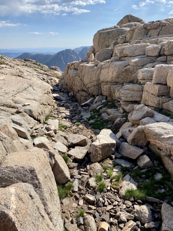
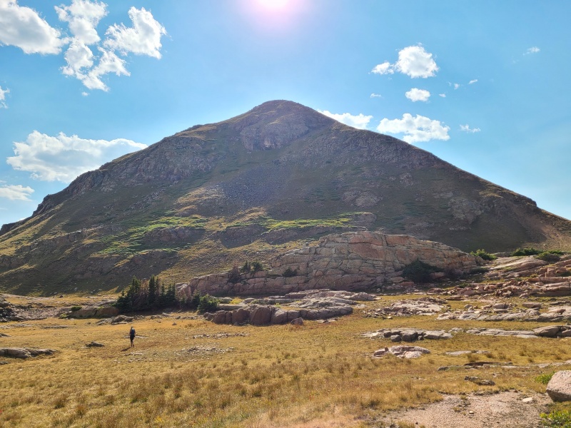
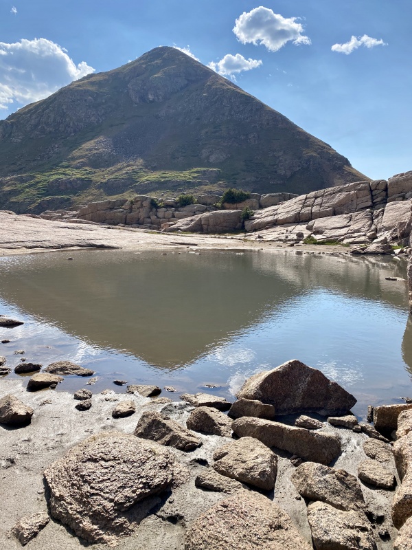
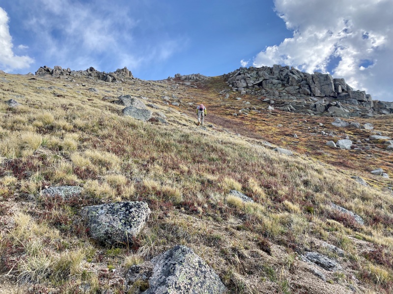
The ascent up Sheridan was steep but easy, all on grass with a stony backdrop. We were a little slow, having long since run out of water during our grueling day. 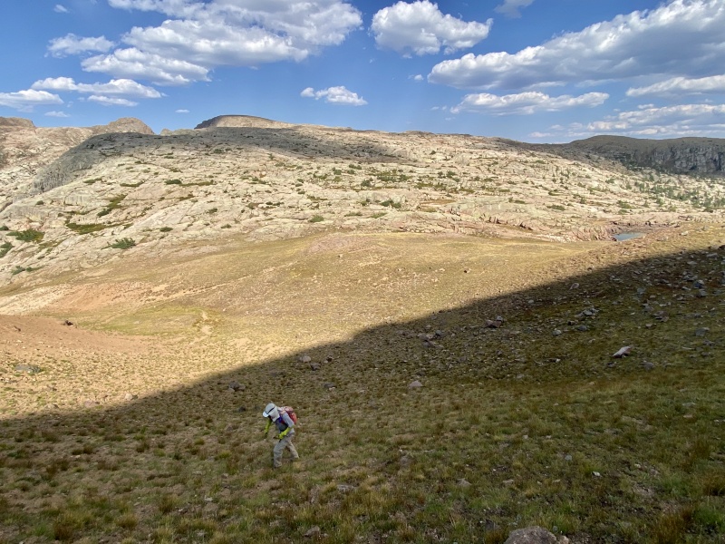
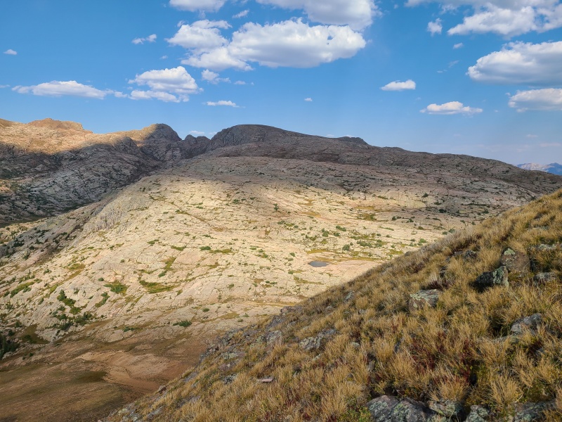
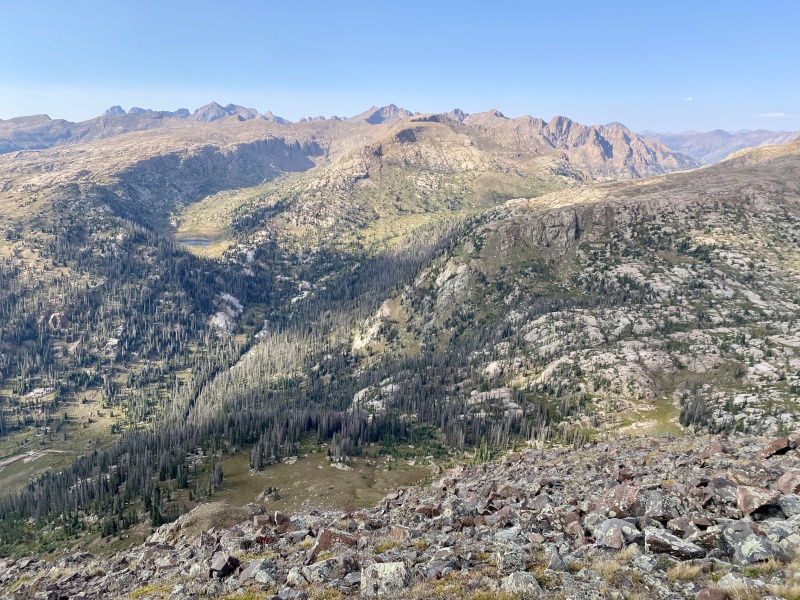
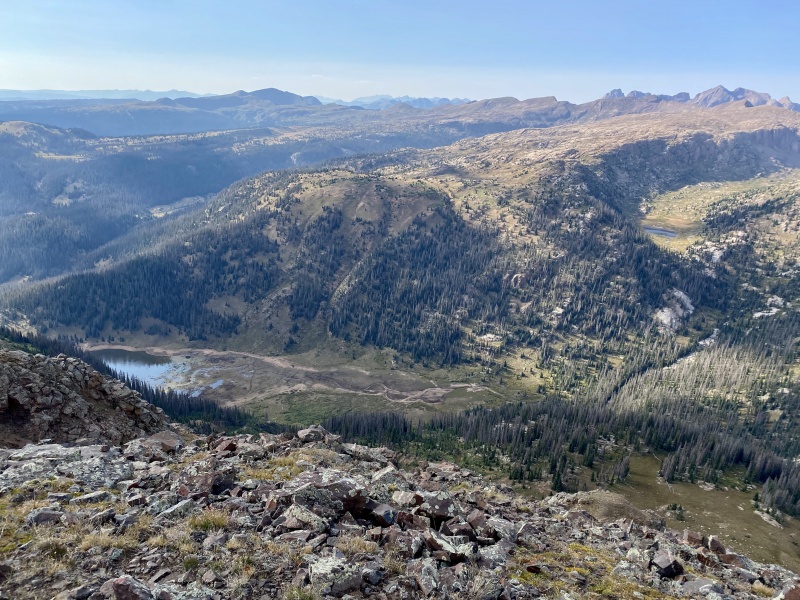
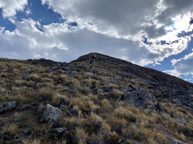
Sheridan was a big slog, but it was (almost) all downhill from there. With the exception of one more peak, of course. Last one, I swear! Or do I? 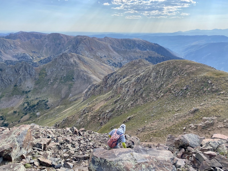
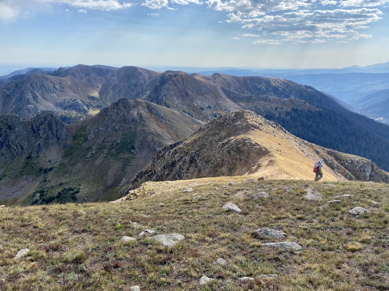
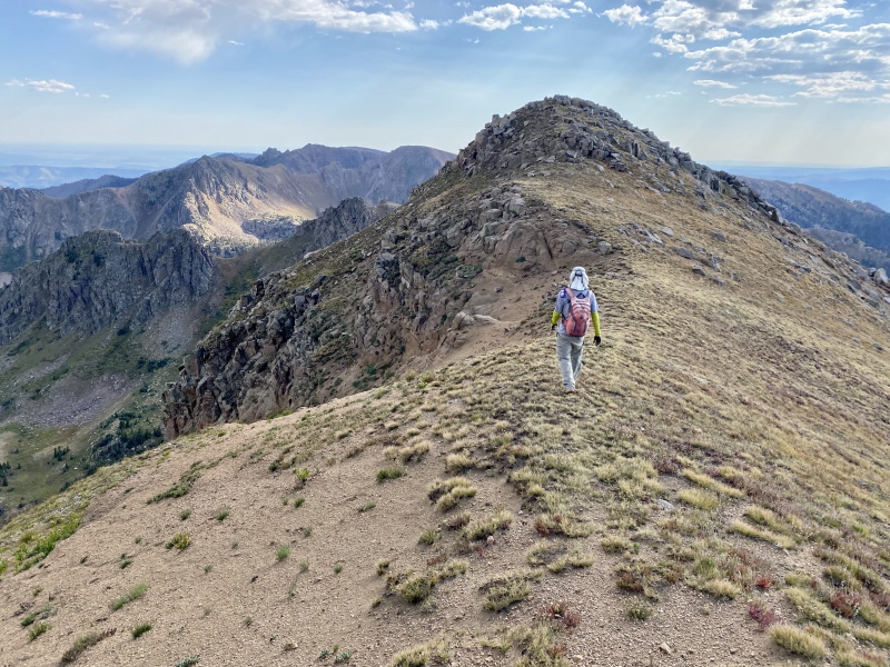
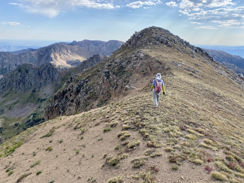
Point 12,442 was another repeat of the familiar theme: easy slopes to the summit block, which was a short, fun scramble. 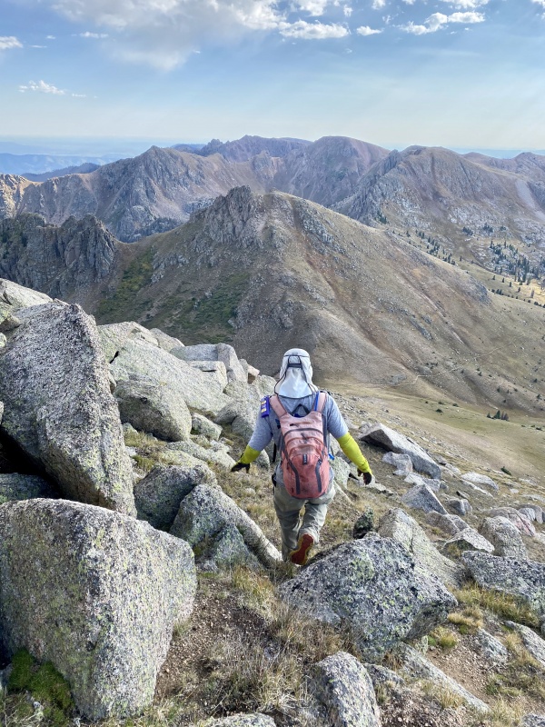
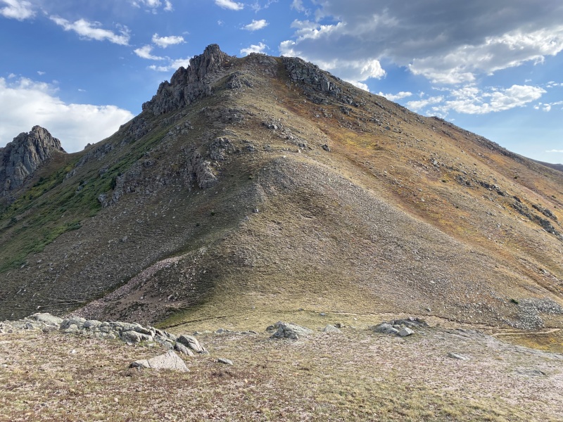
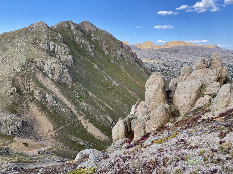
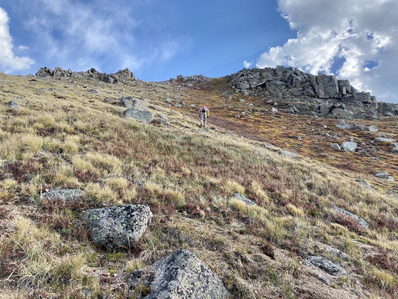
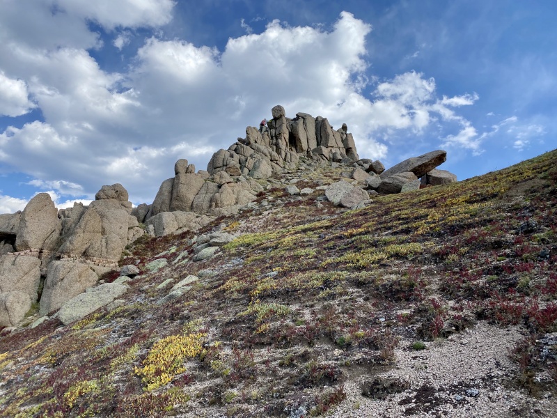
The final scramble up 12,442 was easier than it looks - Class 2+ - and the final scramble for the day. 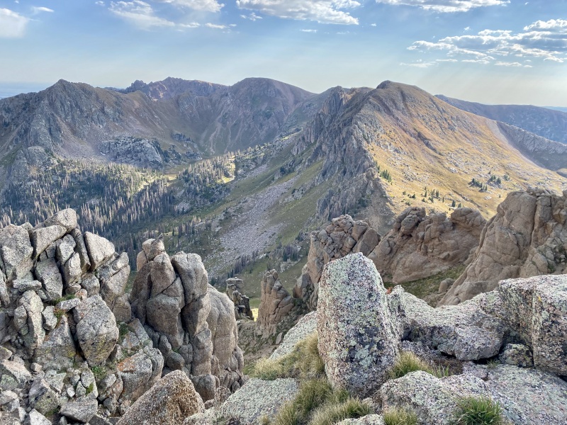
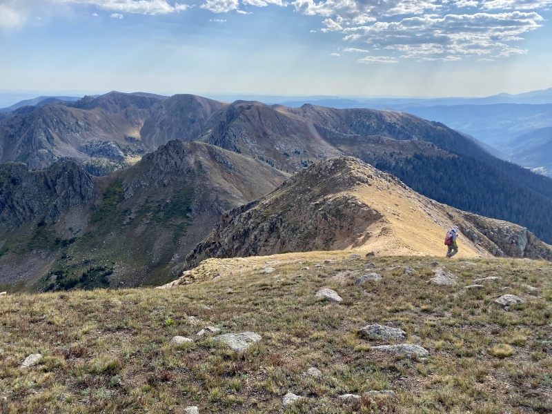
From 12,442's summit we descended west down nice, grassy slopes to make our way back to the Endlich Mesa trail. The travel to the trail was easy, no doubt easier than what would have been an untrailed descent if we had descended from Sheep earlier in the day. 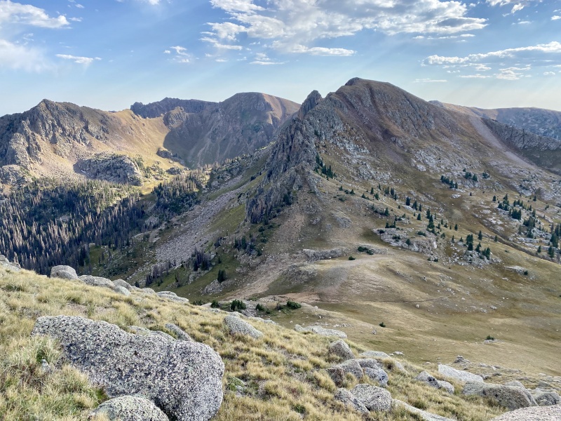
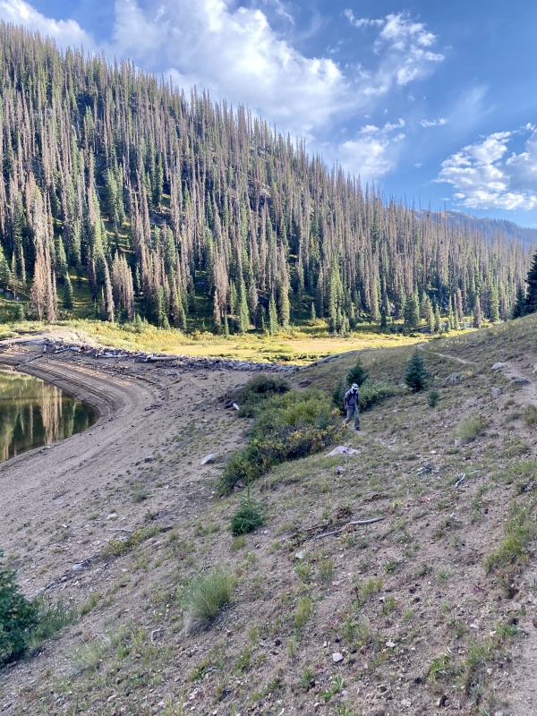
The trail was very welcomed after spending most of the day off-trail, much of it on hard, wearying granite. We quickly made our way back to the reservoir and then to camp. 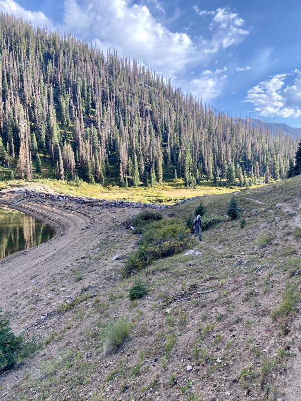
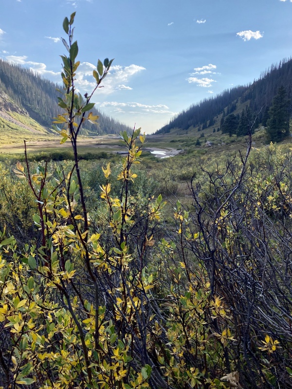
Originally we had planned to pack up and head back to the trailhead and drive north to the Cimarron area of the Uncompahgre Wilderness for even more peaks, but it was too late and we were too tired to do that. We spent a second night at City Reservoir, which I can't say I was upset about. I don't think I've had a single second of negativity in the Weminuche, and Endlich Mesa is just too spectacular to feel anything but bliss. The Cimarron could wait. We still had business left here, and spent another wonder-dream-filled night with our mountain friends. Day 2 StatisticsClimbers: Ben Feinstein (myself), Whiley H.
Splits:
Monday, September 7, 2020: Day 3 - Endlich Mesa Deproach: Point 12,470, Endlich Mesa (12,490'), Crevasse Benchmark (12,311') We awoke the next day to gloomy, smoky skies and the smell of smoke. Snow was coming and apparently the change of weather was bringing the wildfire along with it. Though we didn't know where the fire itself was, we figured we probably weren't at direct risk, though the smoke was clearly an issue. We quickly packed up camp and headed for our escape. 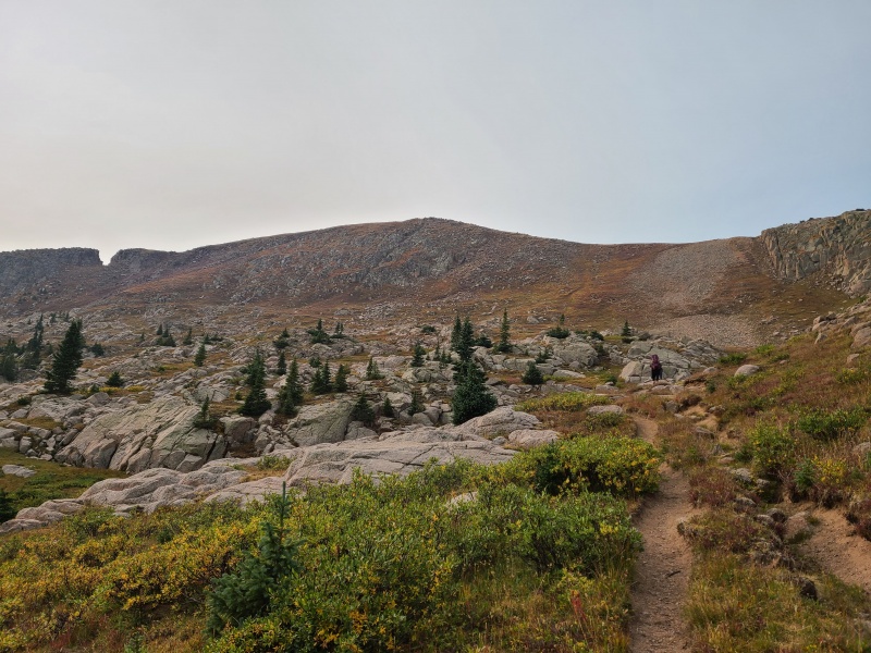
The good trail made our hike easier, which we appreciated since we wore our buffs over our faces most of the day. Along the way I left the trail to tag soft-ranked Point 12,490, which Whiley had already gotten on a previous trip to the area. I dropped my pack on the trail and the easy grass slopes only took me a few minutes. 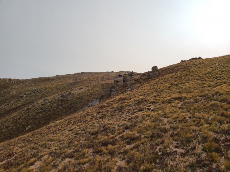
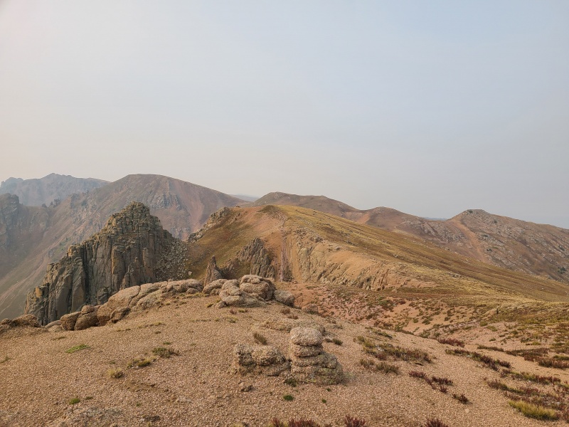
I quickly returned to my pack and caught up with Whiley near the summit of Endlich Mesa, which is right off the trail. Most people probably don't even know they could tag a ranked peak with one minute of off-trail hiking. 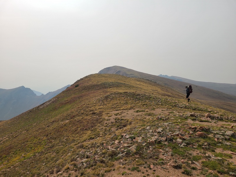
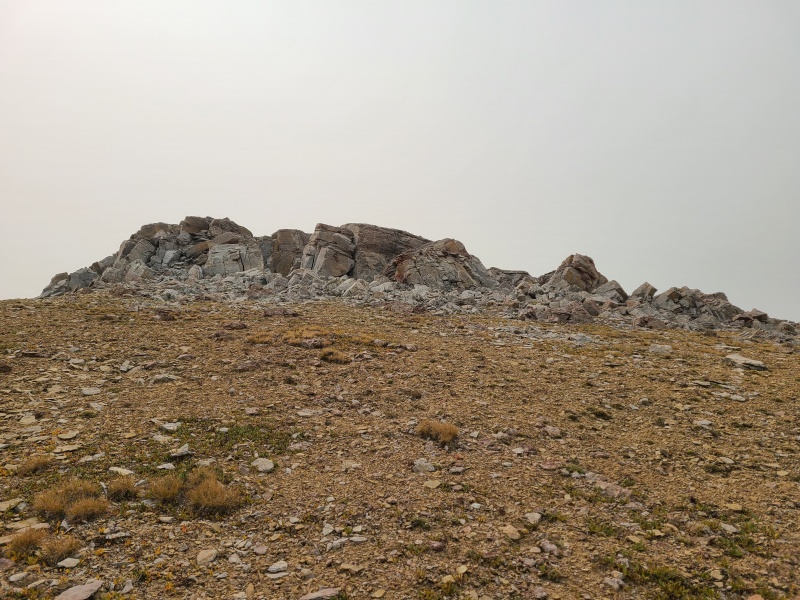
With the smoke now beginning to obscure nearby peaks we knew we had to get a move on, but we had one more peak to go, and Whiley assured me it was worth the side trip, smoke and all. We continued north along tundra before rejoining the trail and made our way towards Crevasse Benchmark, an unranked twelver that was to be our last peak of the trip. We once again left the trail as we neared the benchmark, which was a strange looking block of exposed rock. 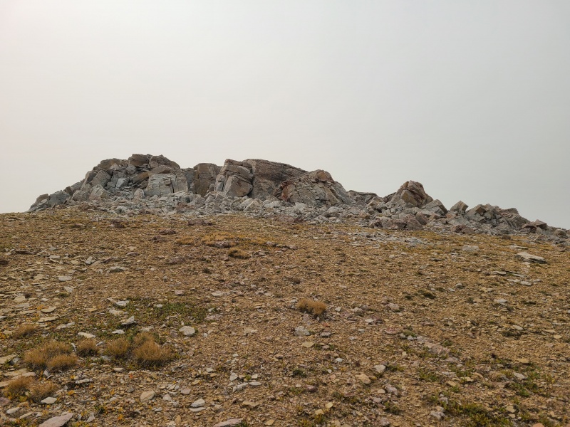
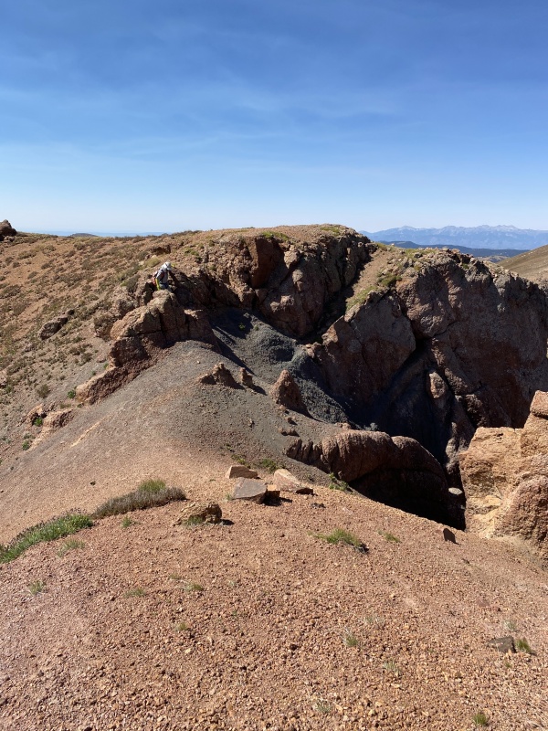
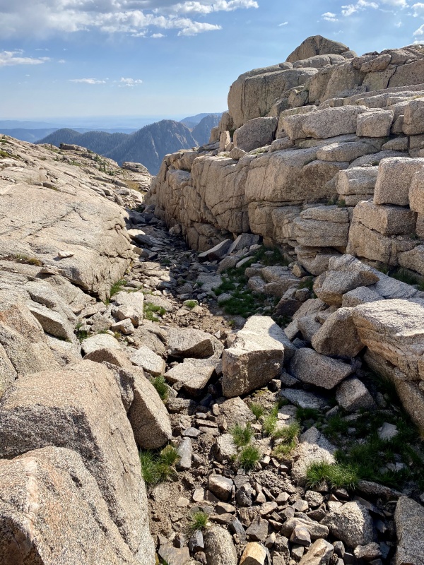
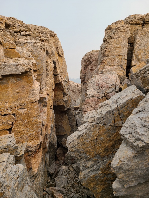
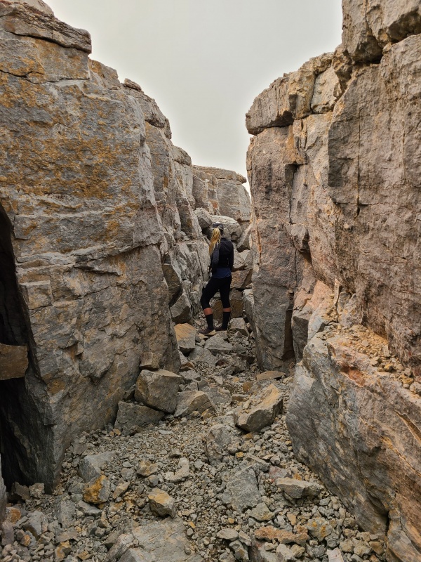
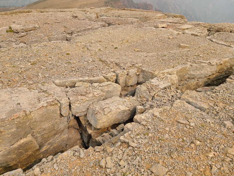
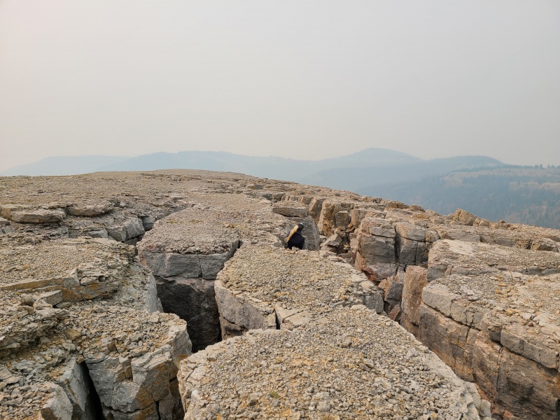
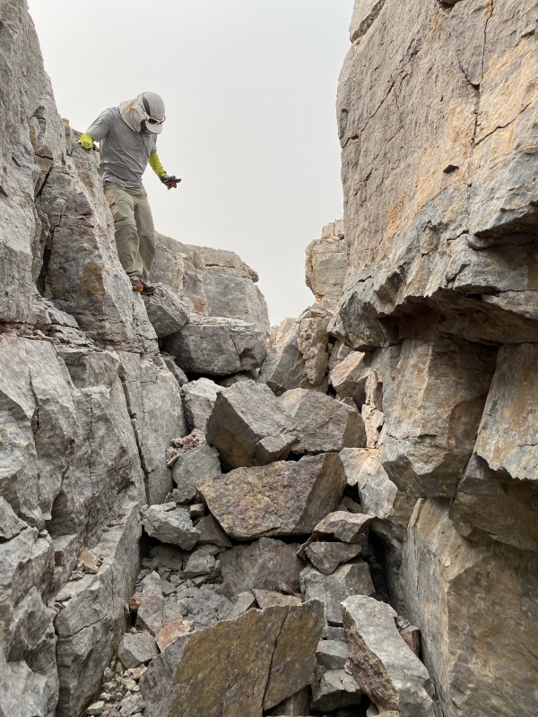
The entire block is riddled with cracks two body lengths deep and from squeeze chimney to an arm span or more wide. It was very unique and absolutely worth the small amount of extra time and effort to explore. We dropped our packs at the edge of it and worked our way through the maze of cracks to a brief Class 2+ chimney which we scrambled to the flat top of the benchmark. 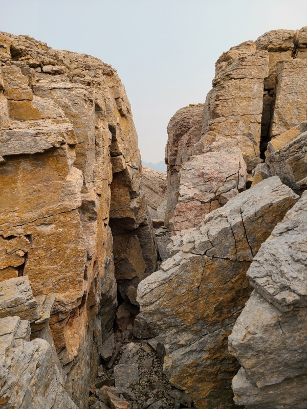
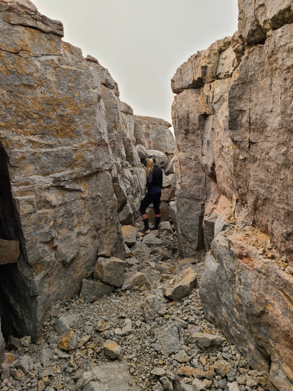
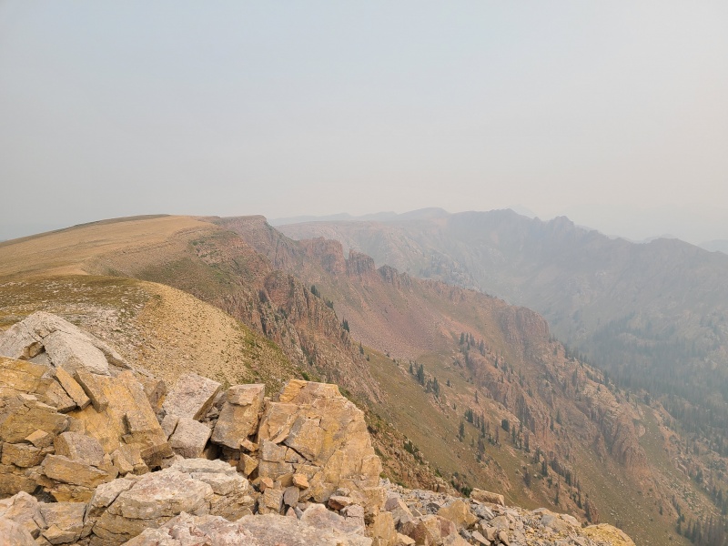
From the top it was possible to see how many cracks sliced and split through the block. One could spend some time investigating each one. 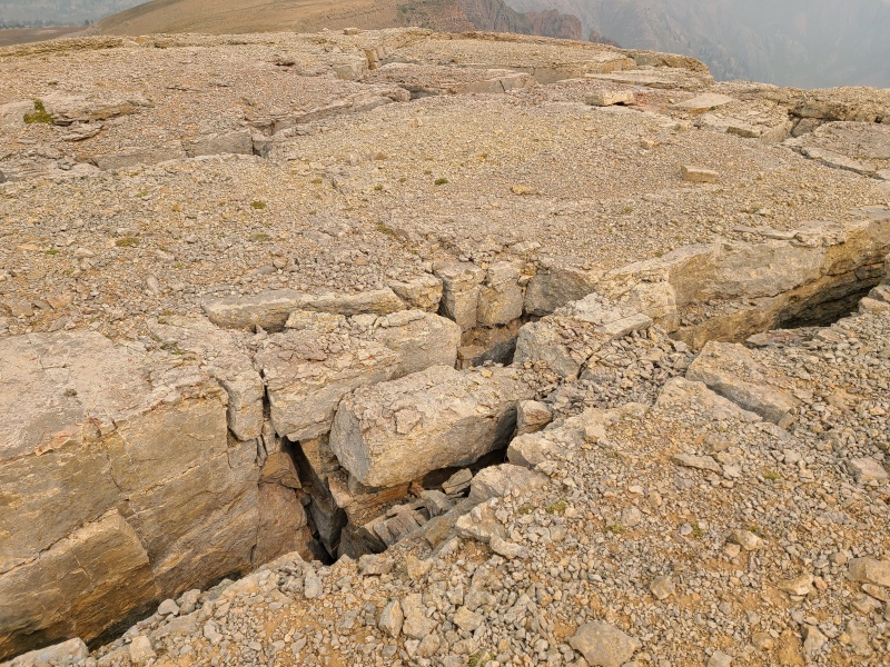
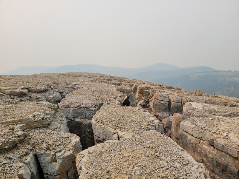
After spending a few minutes poking around in the cracks we worked our way back through the maze and down to our packs. We couldn't see Vallecito Creek in the bottom of the drainage due to smoke, and the peaks from the last two days weren't visible behind the wall of gray. 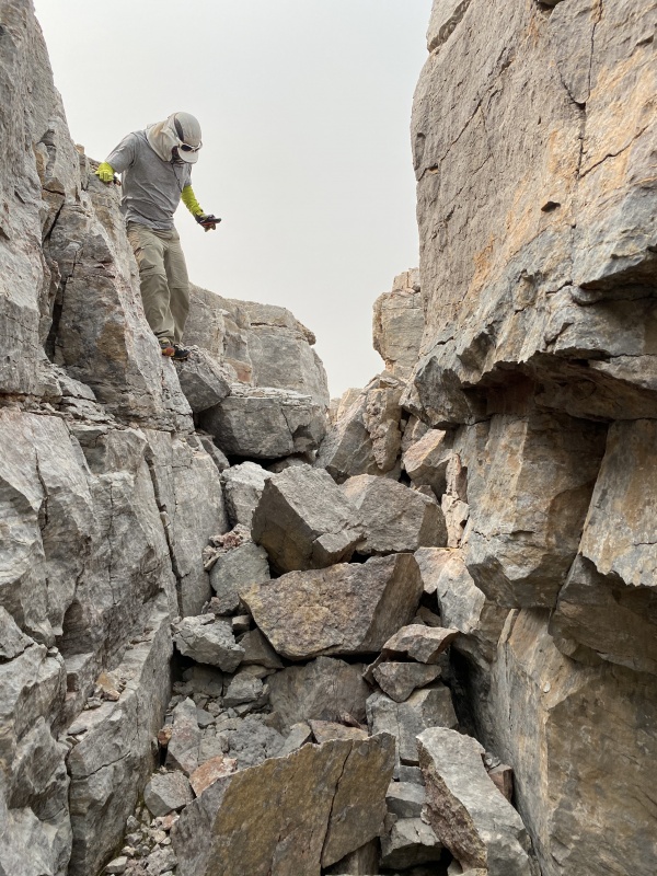
Crevasse Benchmark might be unranked and out of the way but it was super interesting. If you read this and make a trip out to Endlich Mesa add Crevasse Benchmark to your agenda - it's absolutely worth your time. Our descent from the benchmark to the trailhead went quickly and easily since it was now all on trail. At the trailhead we barely said our goodbyes before getting in our vehicles and going, so thick was the smoke. It took us another two hours to drive down the rough road to the Lemon Reservoir road, bouncing and rumbling the whole way. Whiley went home and I headed to Silverton for a couple of days to weather out the snow. What a trip this had been! Twelve thirteeners and four twelvers in 48 hours ain't too bad, and so many of them were beautiful and a ton of fun that I immediately wished I could go back for more. Endlich Mesa is one of those places I gush about to people, and for good reason. It is, without a doubt, one of Colorado's most incredible places. If you dream of granite, go to Endlich Mesa and make your dreams a reality. Day 3 StatisticsClimbers: Ben Feinstein (myself), Whiley H.
Splits:
Thumbnails for uploaded photos (click to open slideshow): 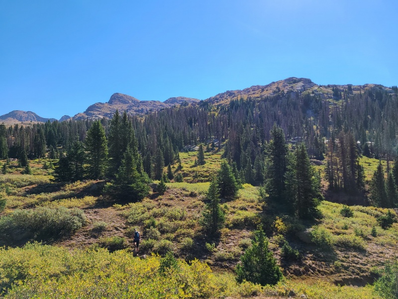
|
| Comments or Questions | |||||||||||||||
|---|---|---|---|---|---|---|---|---|---|---|---|---|---|---|---|
|
Caution: The information contained in this report may not be accurate and should not be the only resource used in preparation for your climb. Failure to have the necessary experience, physical conditioning, supplies or equipment can result in injury or death. 14ers.com and the author(s) of this report provide no warranties, either express or implied, that the information provided is accurate or reliable. By using the information provided, you agree to indemnify and hold harmless 14ers.com and the report author(s) with respect to any claims and demands against them, including any attorney fees and expenses. Please read the 14ers.com Safety and Disclaimer pages for more information.
Please respect private property: 14ers.com supports the rights of private landowners to determine how and by whom their land will be used. In Colorado, it is your responsibility to determine if land is private and to obtain the appropriate permission before entering the property.




 Download GPX file used in this map