Download Agreement, Release, and Acknowledgement of Risk:
You (the person requesting this file download) fully understand mountain climbing ("Activity") involves risks and dangers of serious bodily injury, including permanent disability, paralysis, and death ("Risks") and you fully accept and assume all such risks and all responsibility for losses, costs, and damages you incur as a result of your participation in this Activity.
You acknowledge that information in the file you have chosen to download may not be accurate and may contain errors. You agree to assume all risks when using this information and agree to release and discharge 14ers.com, 14ers Inc. and the author(s) of such information (collectively, the "Released Parties").
You hereby discharge the Released Parties from all damages, actions, claims and liabilities of any nature, specifically including, but not limited to, damages, actions, claims and liabilities arising from or related to the negligence of the Released Parties. You further agree to indemnify, hold harmless and defend 14ers.com, 14ers Inc. and each of the other Released Parties from and against any loss, damage, liability and expense, including costs and attorney fees, incurred by 14ers.com, 14ers Inc. or any of the other Released Parties as a result of you using information provided on the 14ers.com or 14ers Inc. websites.
You have read this agreement, fully understand its terms and intend it to be a complete and unconditional release of all liability to the greatest extent allowed by law and agree that if any portion of this agreement is held to be invalid the balance, notwithstanding, shall continue in full force and effect.
By clicking "OK" you agree to these terms. If you DO NOT agree, click "Cancel"...
Scouted out a solid alternate route on Thunder Butte using google earth. The old eagle eye.
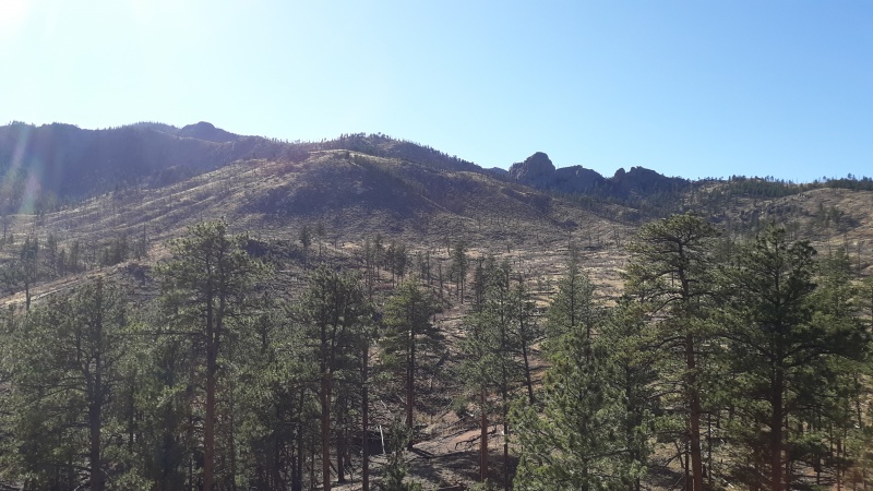
Worked perfectly. It is a series of sweeping high connecting ridges on the way up - and the land is burned - but navigation was straight forward. No path ever.
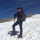
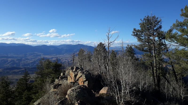
Just starting.
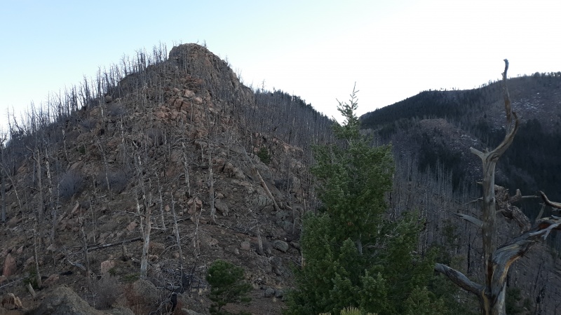
at one poinit i was considering taking this rock ridge in foreground - but i knew google was rounding the edges off - it looked hardcore. a rock blade.
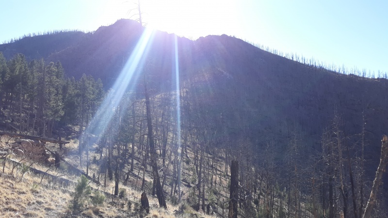
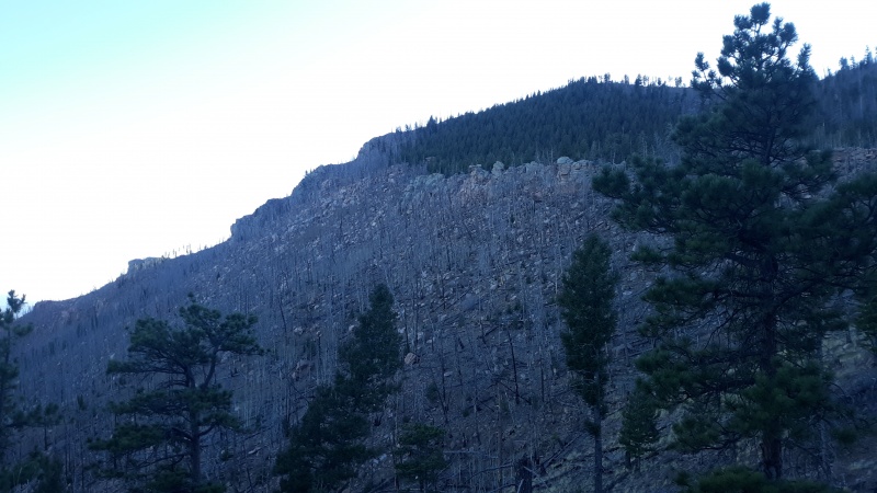
most shots on the way up got washed out in the light.
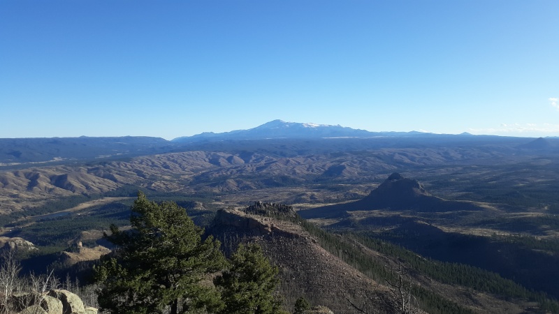
at the Top!
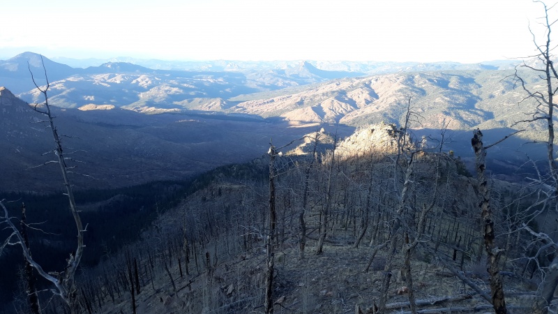
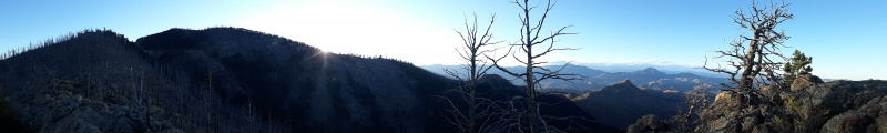
The only minus was that the views of the Sangre di christos was all blurred. according to peakfinder you can peep mt lindsey at like 112 miles on good day. Views to north at very top are a little tree compromised.
the north is good most of the way down anyway. you get your 360 if you work it.
This one below - man - at one point i did get some doubts. those woods never seemed to end. i was looking for the light to break thru to give me sign i was popping up. saw mirages of light - Eldorado style. but i just kept chugging along.
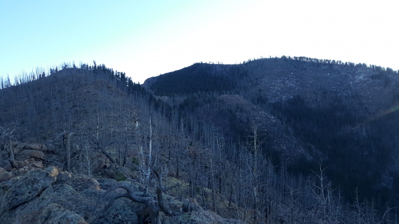
coming down looking at final segment. followed rocks up to the left and then bang up right at top.
heading down
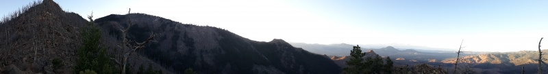
that's the top up there center left
Thunder Butte to left
hope you like your Mordor well done.
West to North.
Yes this was a blast. and i now know there's a ton of rather massive rock castles up around this place. one could put together a tour de force journey to run the circumference of Thunder to see them all?
And here's two google pics of the route
Thumbnails for uploaded photos (click to open slideshow):
That's exactly how we felt using a different (the standard?) route. It looks like bushwhacking pains are inevitable, regardless.
How long was this route?
My route was seemingly right around 6 miles round trip.
and that was taking the fastest route / ridges all the way. I had at one point contemplated a much longer approach from due north. But glad I stuck with the 'get in /get out' approach yesterday as I was flirting with serious darkness at end.
also I want to take a moment to point out that - despite this all being pretty straightforward - good navigation was a must! If I had veered off the wrong ridge i was going to be very lost on a side of the mtn with no one around and no trails to find.
Luckily I did early on come up with some key landscape markers that were very helpful coming down later.
I saw this post and tried hiking it during Veteran's day. Misread the map and ended up doing a different ridge that ended up being 11 miles, but it was a good hike!
Yeah that's sort of the northern launch I was originally thinking of.
What was the north ridge like coming up? Seemed like it had more trees and vegetation?
The more I look at this place - there's a lot of different ways up and down. and that middle 'rock blade' ridge may be do-able too I suppose.
Caution: The information contained in this report may not be accurate and should not be the only resource used in preparation for your climb. Failure to have the necessary experience, physical conditioning, supplies or equipment can result in injury or death. 14ers.com and the author(s) of this report provide no warranties, either express or implied, that the information provided is accurate or reliable. By using the information provided, you agree to indemnify and hold harmless 14ers.com and the report author(s) with respect to any claims and demands against them, including any attorney fees and expenses. Please read the 14ers.com Safety and Disclaimer pages for more information.
Please respect private property: 14ers.com supports the rights of private landowners to determine how and by whom their land will be used. In Colorado, it is your responsibility to determine if land is private and to obtain the appropriate permission before entering the property.


")
")
")
")
")
")
")
")
")
")
")