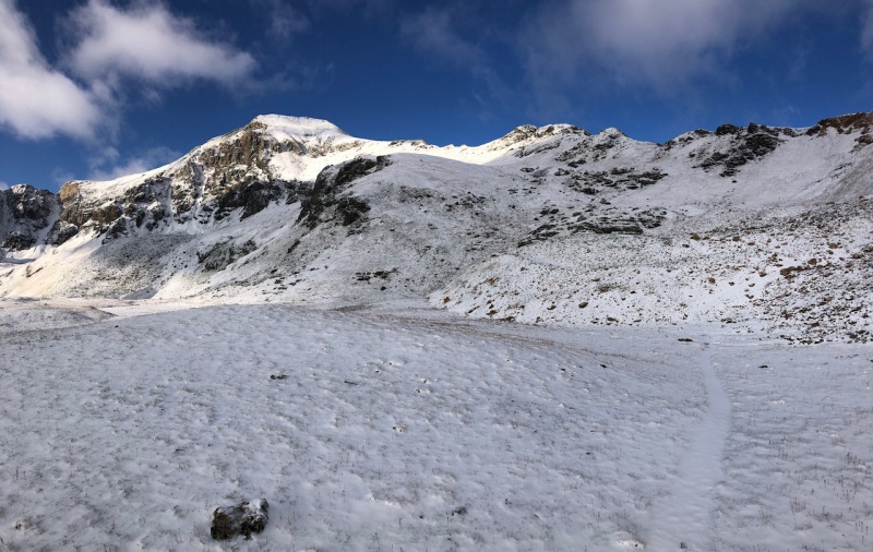
| Report Type | Full |
| Peak(s) |
Redcloud Peak - 14,037 feet Sunshine Peak - 14,004 feet Handies Peak - 14,058 feet Uncompahgre Peak - 14,318 feet Wetterhorn Peak - 14,021 feet Matterhorn Peak - 13,590 feet |
| Date Posted | 09/05/2020 |
| Date Climbed | 09/01/2020 |
| Author | trkl9 |
| Five Days in the San Juans |
|---|
|
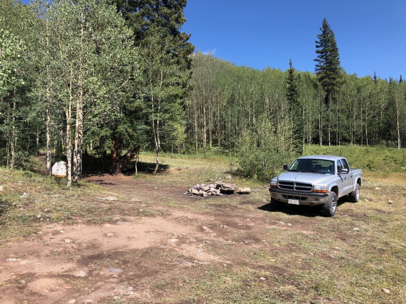
Five Days in the San Juans (Aug 31-Sep 4 2020) I've been looking to get down to the San Juan range for a while over the 2.5 years that I've lived in the Fort Collins area but have never had a great opportunity. Needed a break from work, a little mountain air and to bag some 14er peaks so off to southwest Colorado I went for 5 days of roughing it, tent style. My itinerary included summits of Redcloud, Sunshine, Handies, Wetterhorn, and Uncompahgre peak in that order. A true 14er peak bagging trip. What an incredible week that gave me snapshots of mountain summer, fall and winter and a little solitude on some 14er peaks. Let's just jump right into it. Day 0: Sunday, August 31st 2020 First on the list was Redcloud, Sunshine and Handies peaks. These were all easily accessible from the silver creek/grizzly gulch trailhead about 16 miles southwest of Lake City. Arrived around 3:30 PM after a 6.5 hour drive to the trailhead. A little rain on the way filled the ruts on the rough dirt road with puddles and coated my truck in red dirt. Pleasantly surprised to only see a handful of cars at the trailhead and a ton of campsites available. I would spend the next two nights here. Off and on rain would continue until night fell. 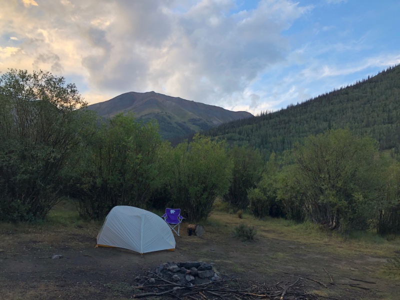
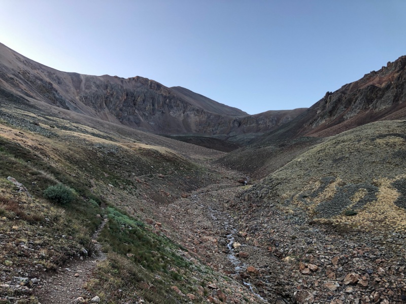
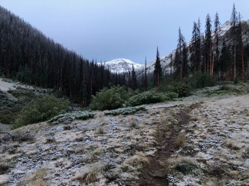
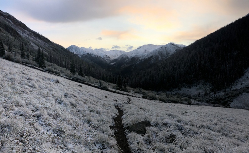
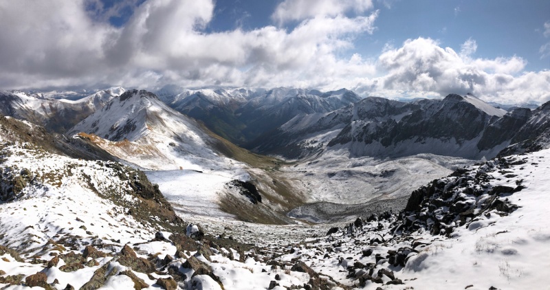
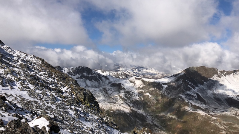
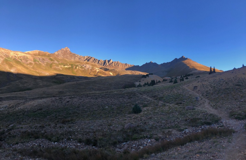
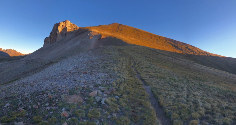
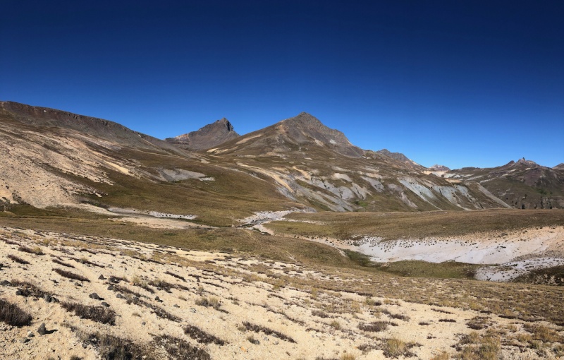
Day 1: Monday, Sept 1st 2020, Sunshine and Redcloud Peaks (#21 & 22) Route: Sunshine via Northwest Face -> Redcloud via Sunshine -> Northeast Ridge to TH Miles: 10.15 Vertical Feet: 3,947' A chilly night down to freezing that left a thick layer of frost. Couldn't sleep so started this one early at 5:15 AM. Ascending sunshine first provided a more "off trail" approach and solitude. I would highly recommend for anyone summiting these two peaks. After crossing the creek to my route, I followed the south fork of Silver Creek for a while. Had to navigate around some deadfall that obscured the trail for .10ish mile but other than that there was a least a faint trail most of the way. A short time later, I arrived at timberline and amazing views of the basin. 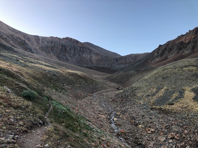
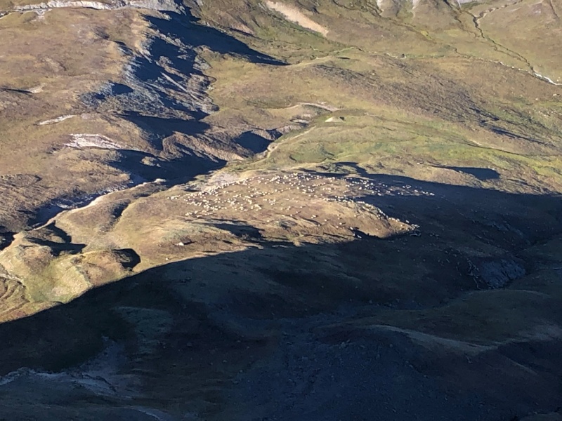
I was the only one on the trail this particular morning. Everything was so calm. Gave me a feeling a being fully immersed in the wild. Continued to follow the trail up to the next obstacle and crux of the route. It did get a little confusing. Instead of heading straight for my waypoint, I decided to follow some cairns which led straight to a slope up to the saddle between Sunshine and Redcloud that maps specifically say do not descend. I am assuming this must be an old route and dangerous due to the amount of loose rock. Navigated around in the talus field to the actual trail. 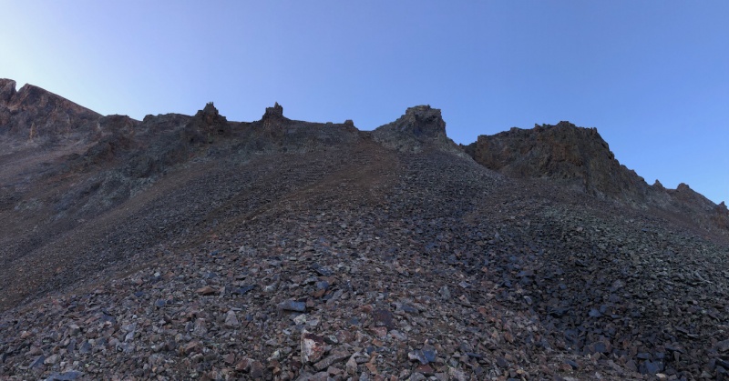
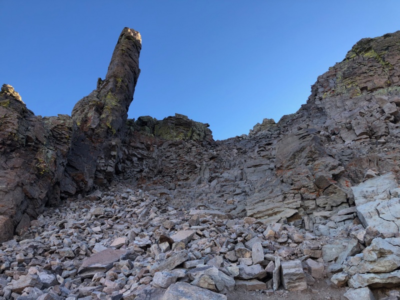
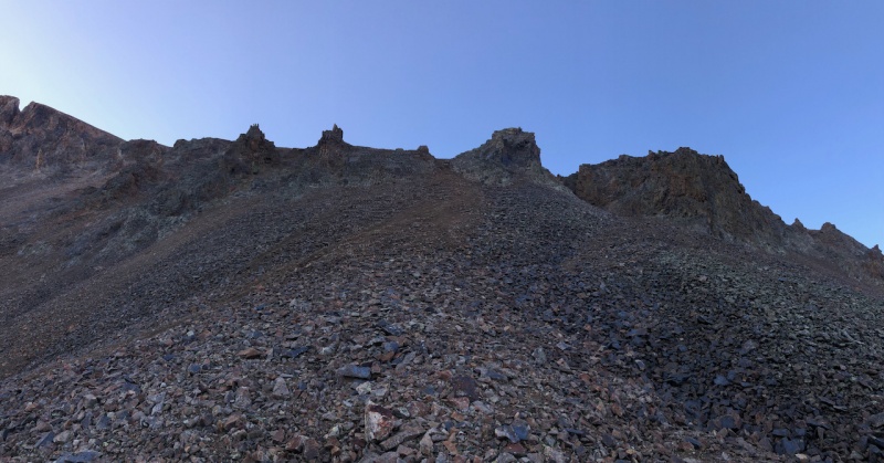
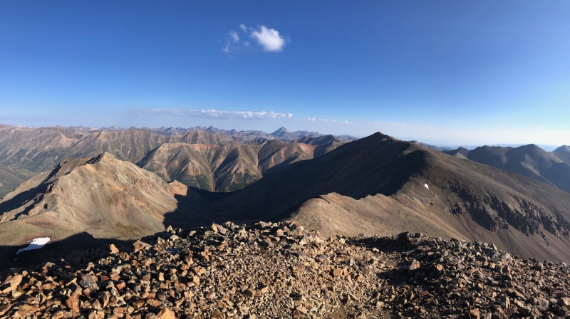
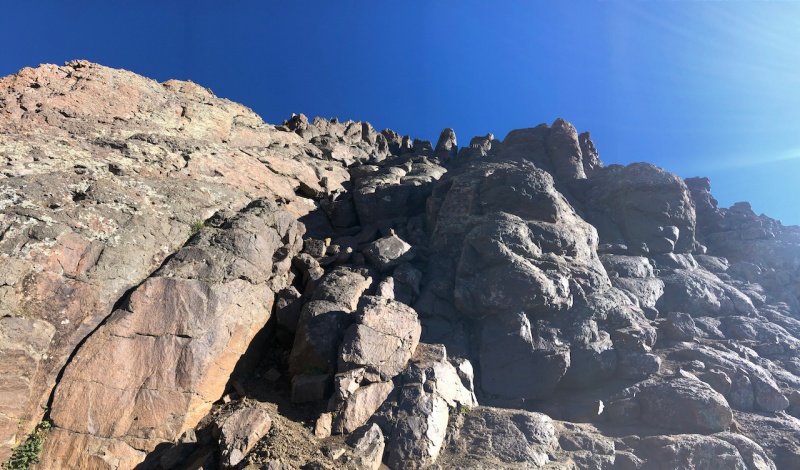
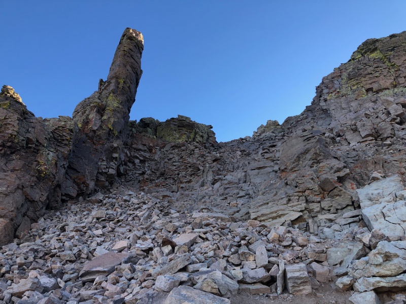
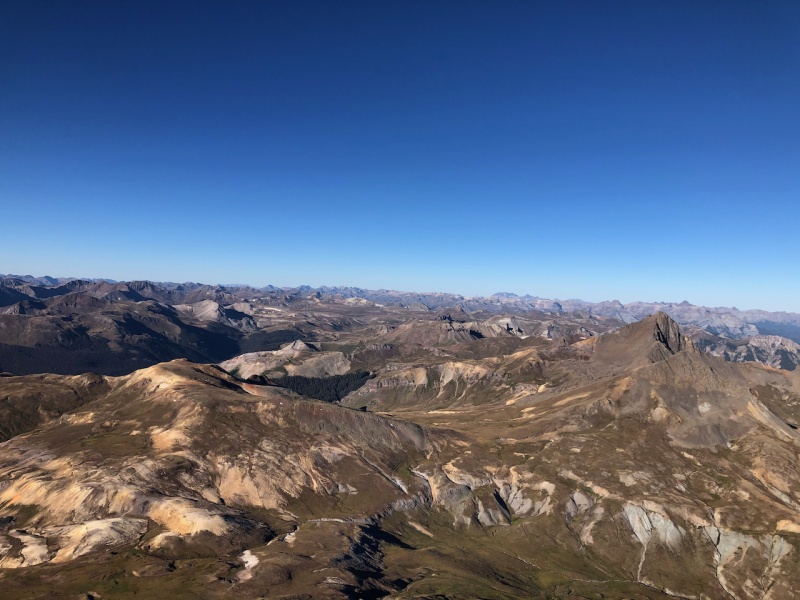
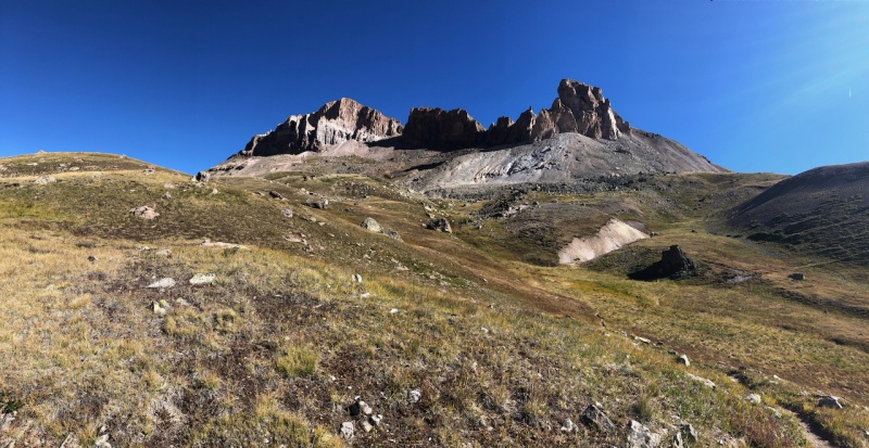
To gain the northwest face of Sunshine, this terrible thing had to be climbed. Full of loose scree and dirt directly to the left of the gendarme straight ahead. Continued up the northwest face variation of the route instead of the ridge to the south. Both appear to be good options. Stable rock on the scramble all the way to the summit 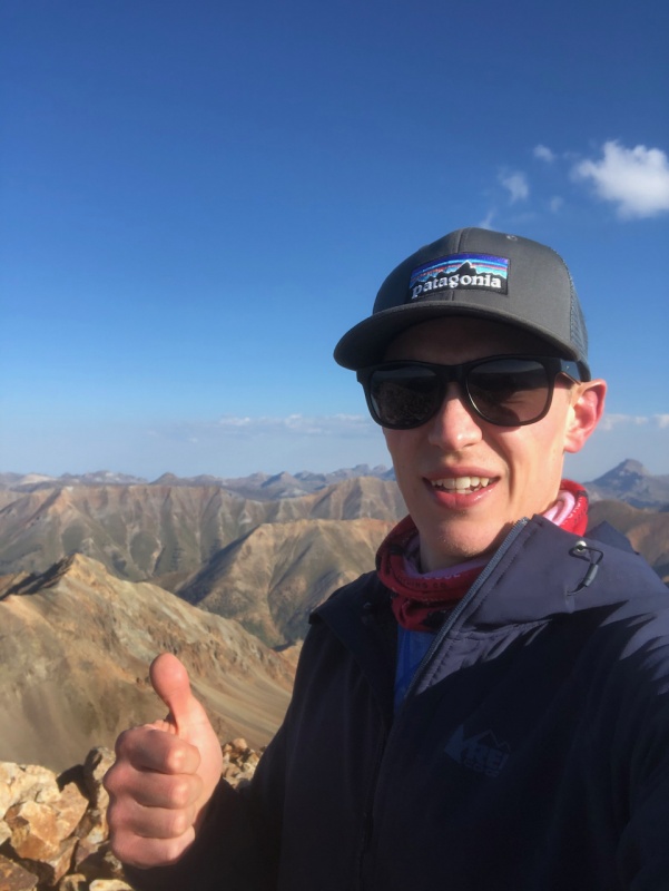
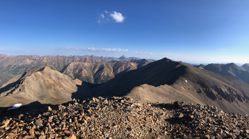
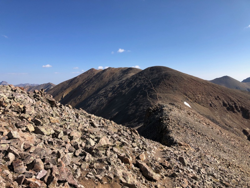
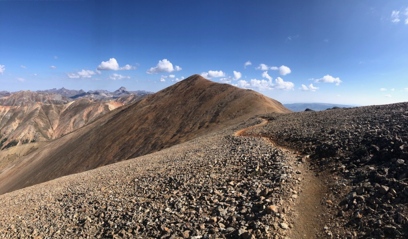
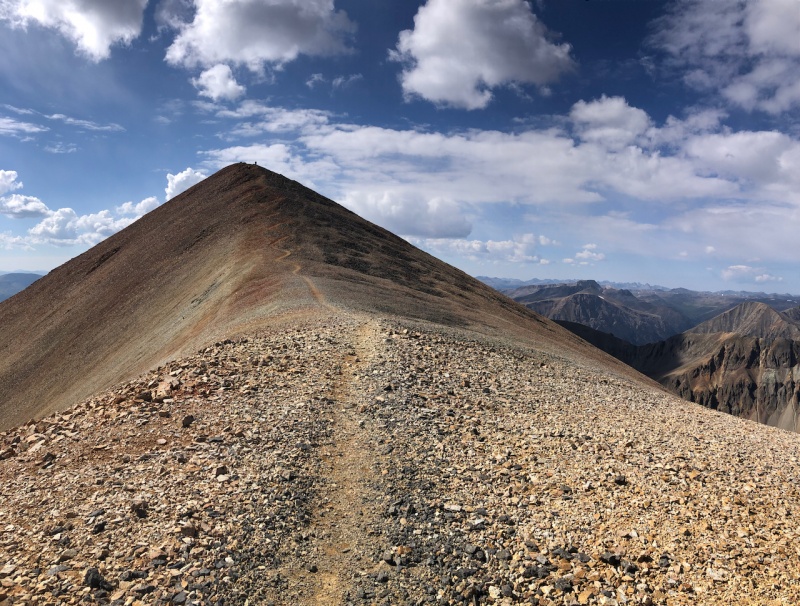
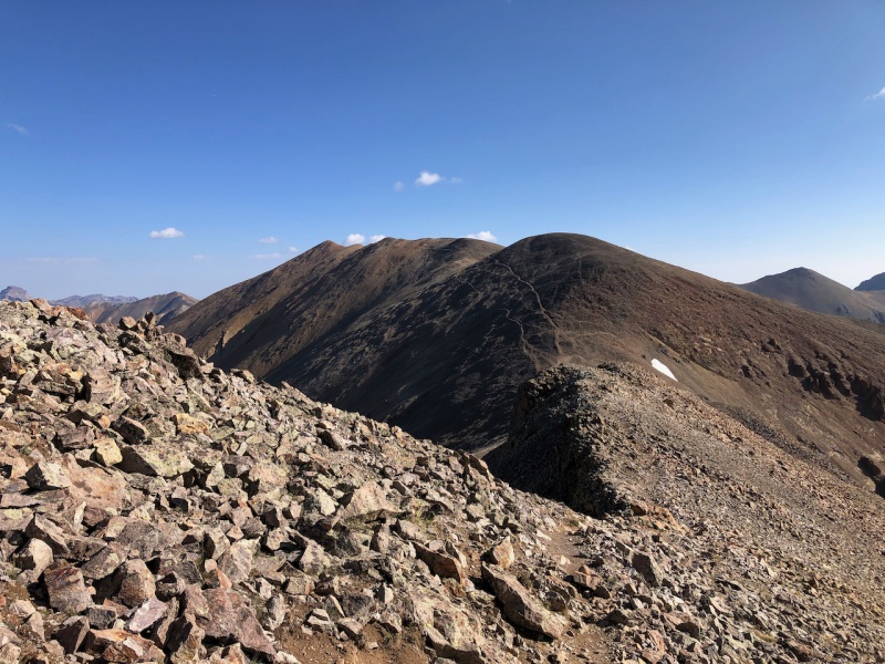
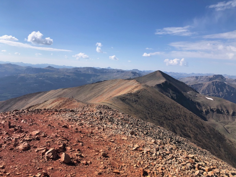
Made it to Redcloud Peak shortly after. 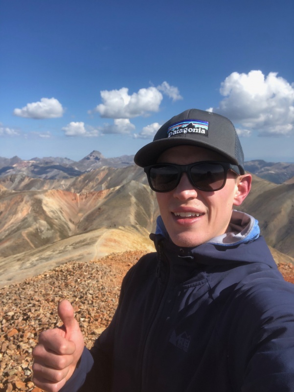
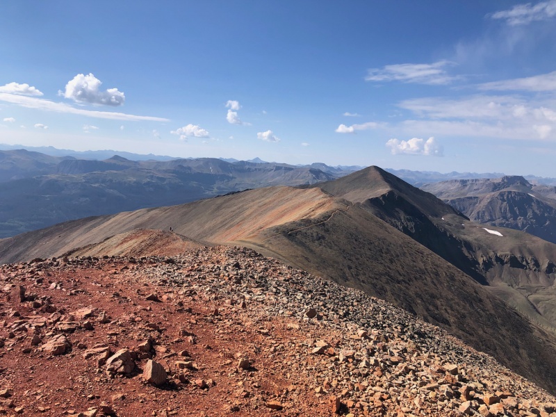
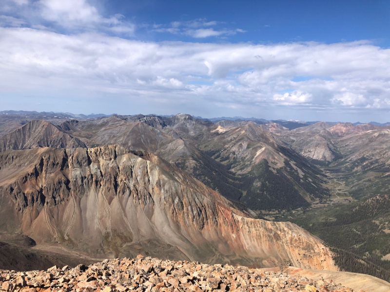
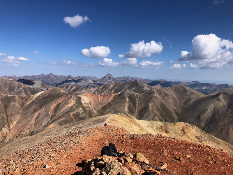
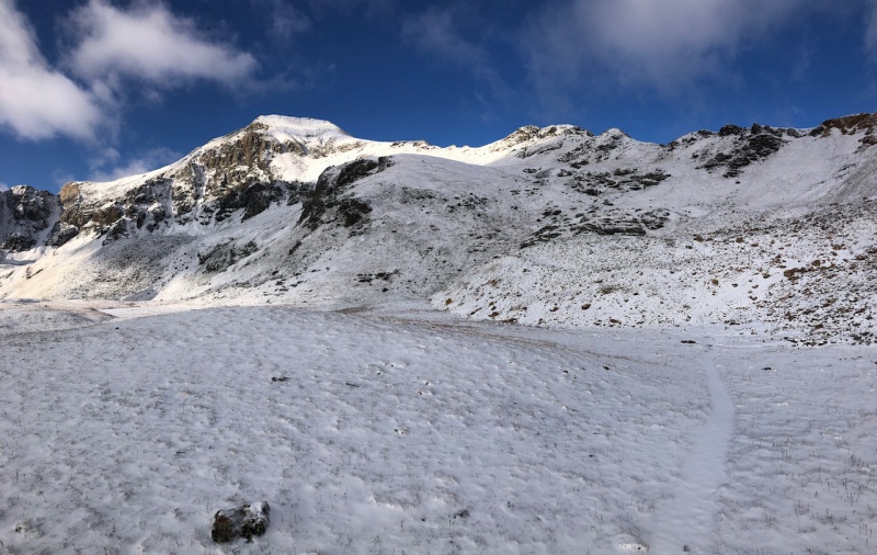
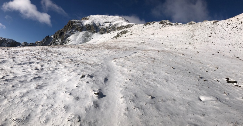
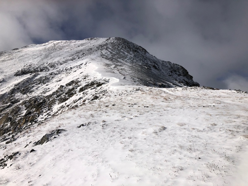
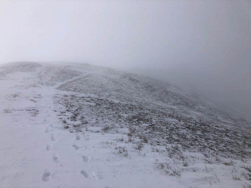
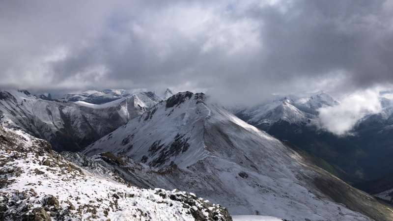
Returned to camp via the standard route and rested for day 2. Day 2: Tuesday, Sept 2nd 2020, Handies Peak (#23) Route: East slopes via Grizzly Gulch Miles: 8.08 Vertical Feet: 3, 603' Things got more interesting. Camp was at ~10,400 feet and it rained on me from 1-5 AM. Knew it would be cold so I excepted a little snow up high. Finally got out of the tent at about 6 AM after a sleepless and rainy night. Temps were near freezing and ice was forming on my tent. Light was just becoming visible and snow blanketed the high peaks. Put my waterproof boots on and set off around 6:30 AM. As I ascended, the snow started around 11,000 feet but only a dusting. It would get a little deeper the higher I got. I was glad to have my winter boots, gaiters could have been helpful. 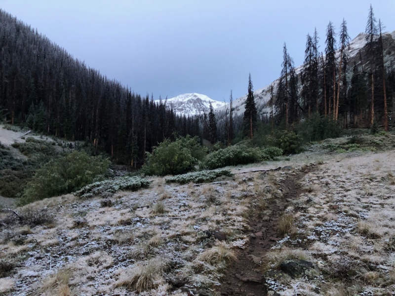
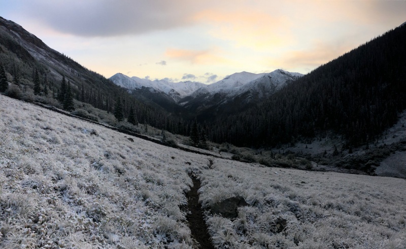
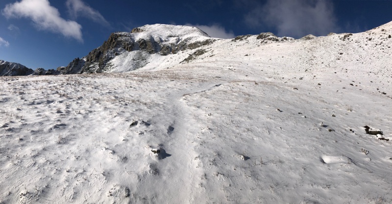
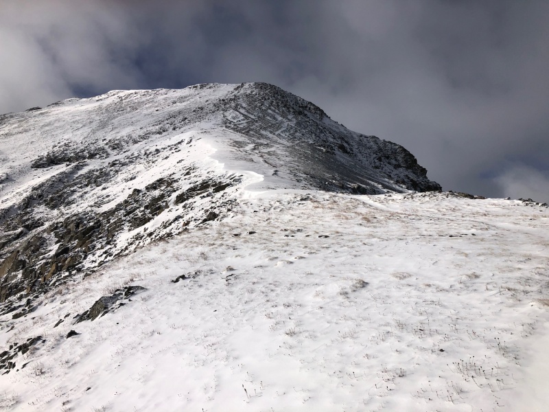
The clouds were starting to thicken up the further along I went. I was so close, I had to keep pressing forward. No signs of serious weather. Rushed up to the top to make sure I could get the summit. 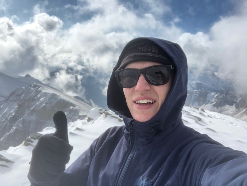
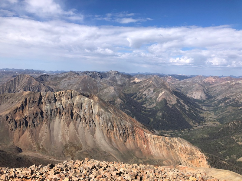
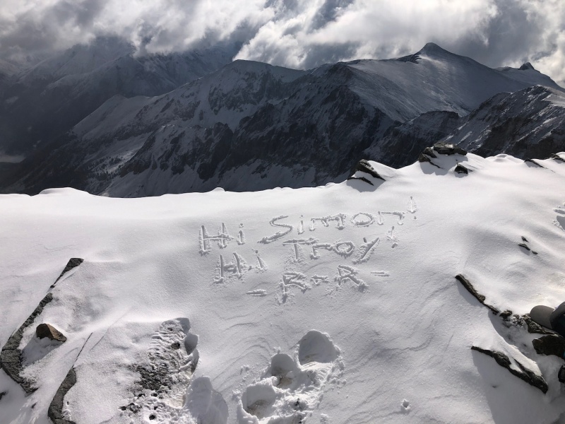
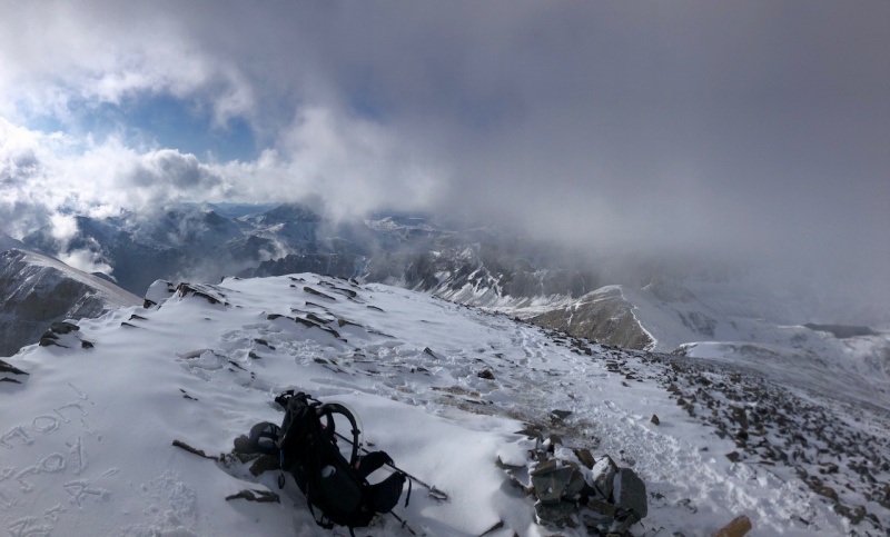
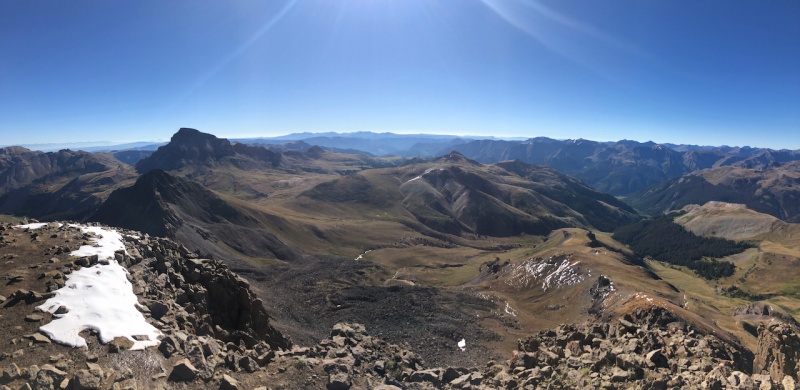
Made the summit in the clouds. The cloud action up from the valleys and over the peaks was incredible. I've only ever seen it on 1 other peak so far. Visibility became zero soon after I summited. 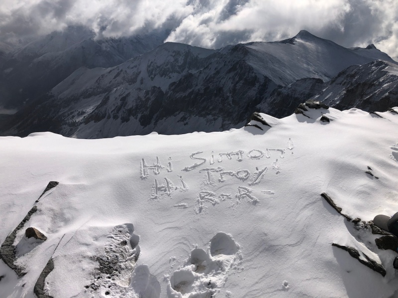
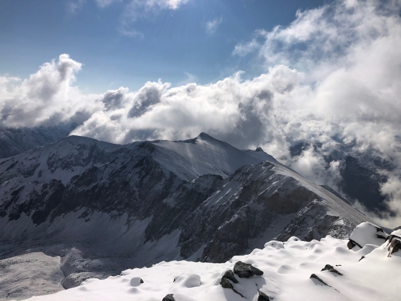
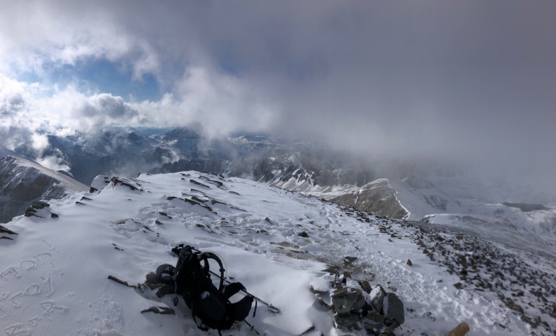
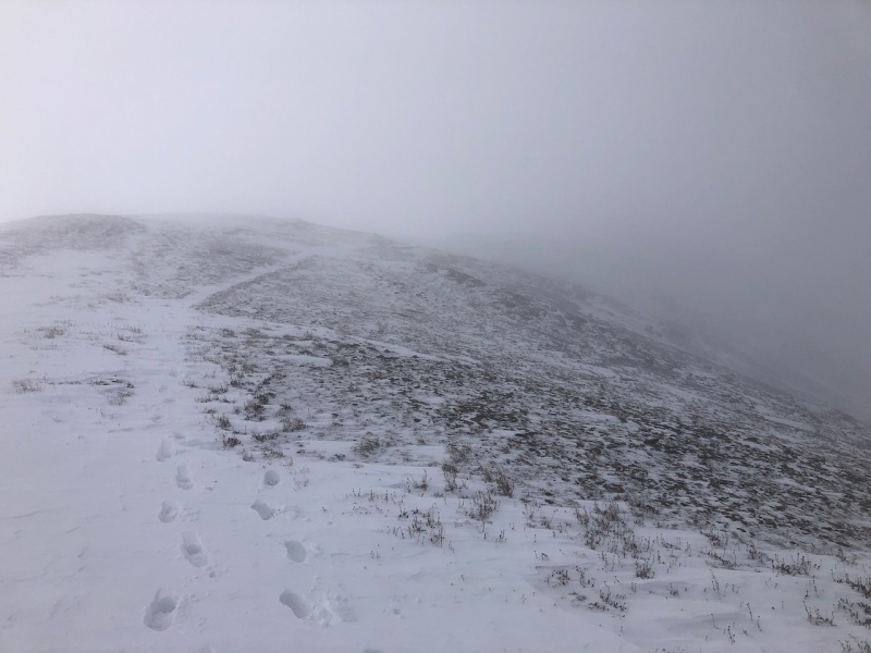
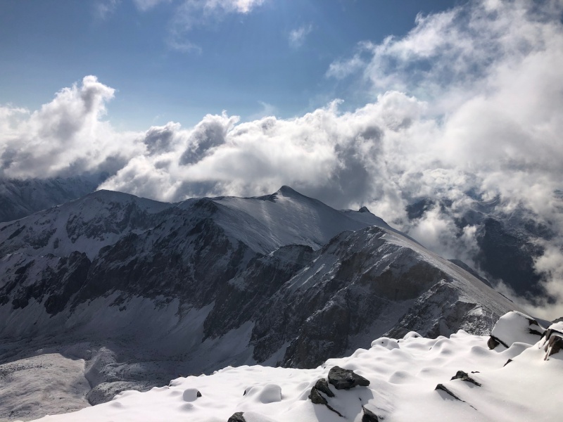
As I descended the ridge, I dropped below the clouds and was able to see clearing in the skies. I sat on the ridge for about an hour and enjoyed the serenity. I was alone for about 50 minutes before I saw another group gain the ridge. 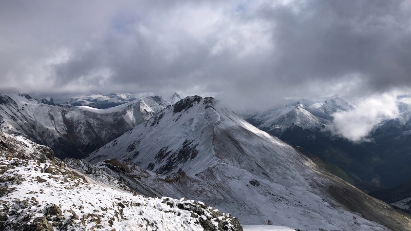
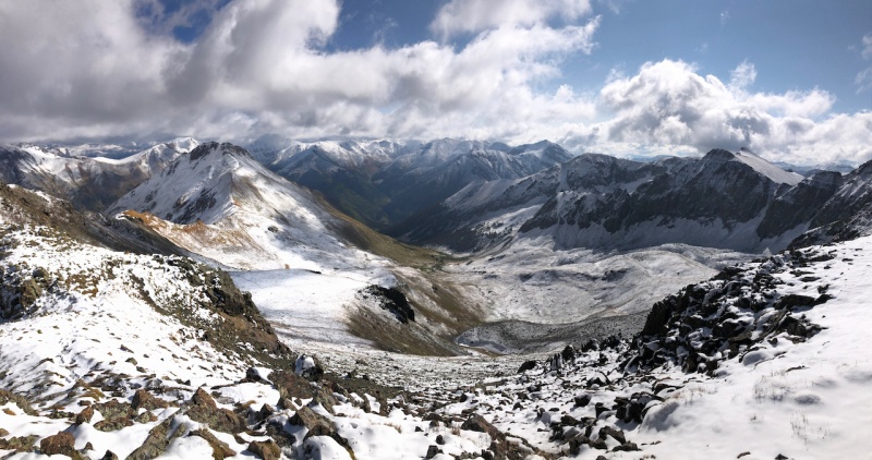
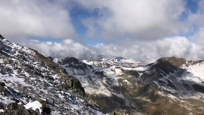
After some enjoyment of the views, it was an easy hike down, the sun came out, the snow began to melt and all was well. After back at camp, I packed up and headed to the Matterhorn Creek trailhead, about 12 miles west of Lake City. 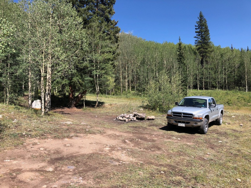
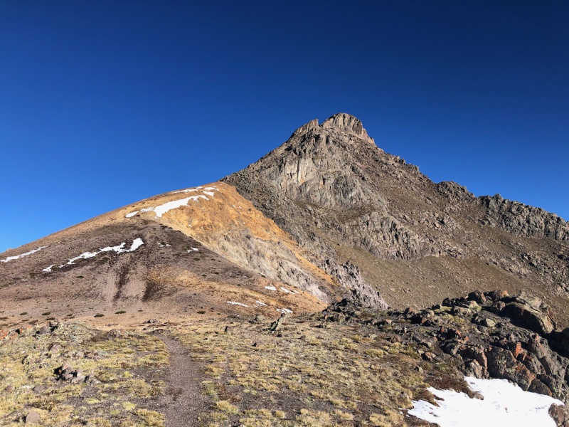
Day 3: Wednesday, Sept 3rd 2020, Wetterhorn Peak (#24) Route: Southeast Ridge (standard route) from the 2WD trailhead. Miles: 9.12 (a little longer because I took a detour route to check out Matterhorn) Vertical Feet: 3,717' Awoke on another chilly morning but hopeful the sun pummeled the snow on Wetterhorn's south facing slopes the day before. Didn't want to go up the class 3, exposed ascent with snow. Readied my gear and headed out around 6:15 AM with light already on the horizon. 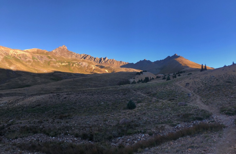
Beautiful morning to go up Wetterhorn, only minor patches of snow in sight. Kept cruising along the trail until the cutoff to Wetterhorn's southeast ridge. 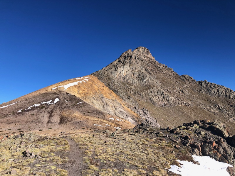
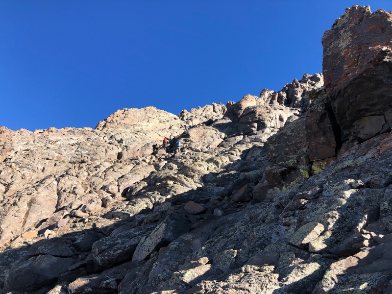
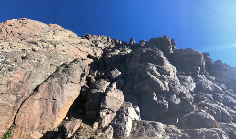
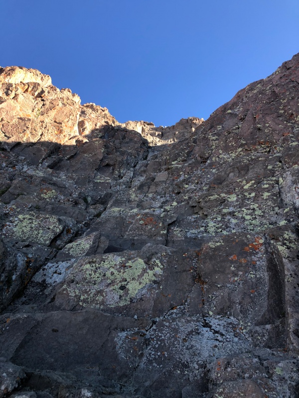
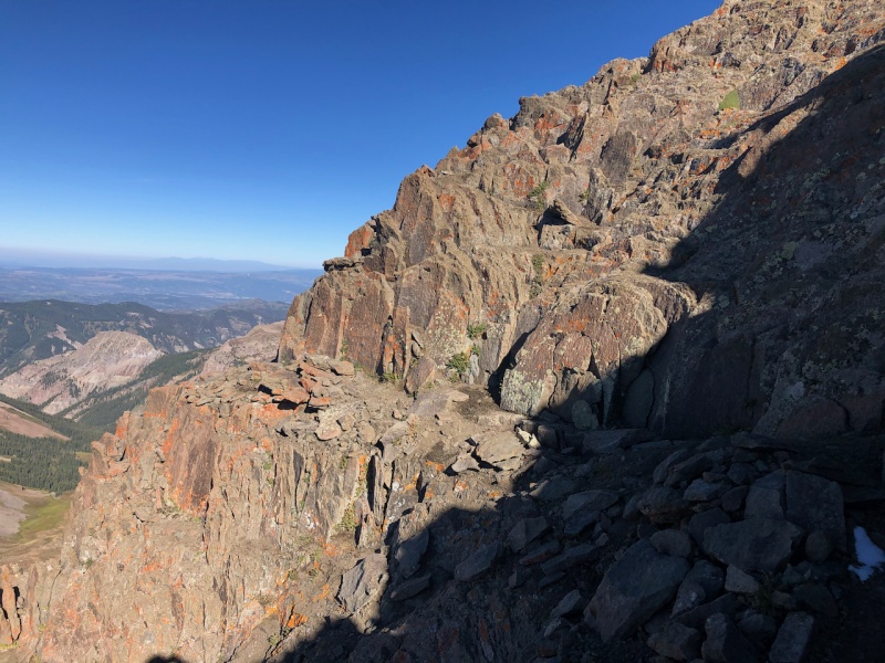
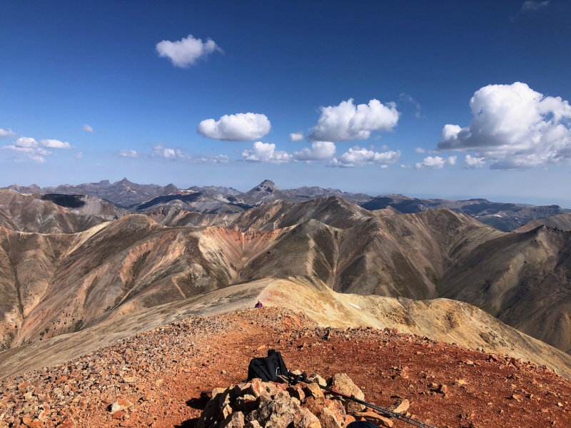
Summited shortly after the last photo. A beautiful day in the San Juans. Another complete 180 from the snow yesterday. 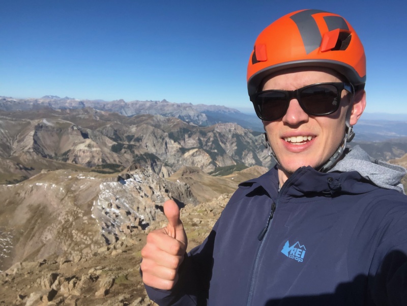
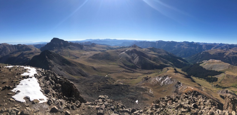
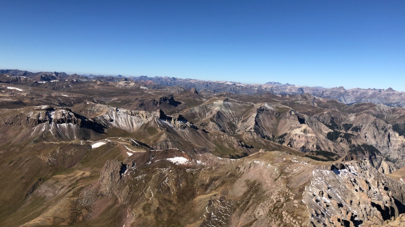
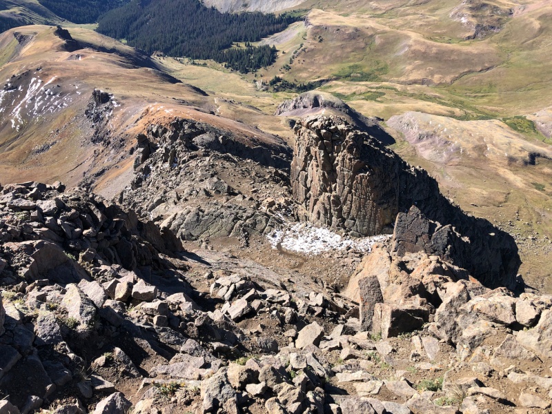
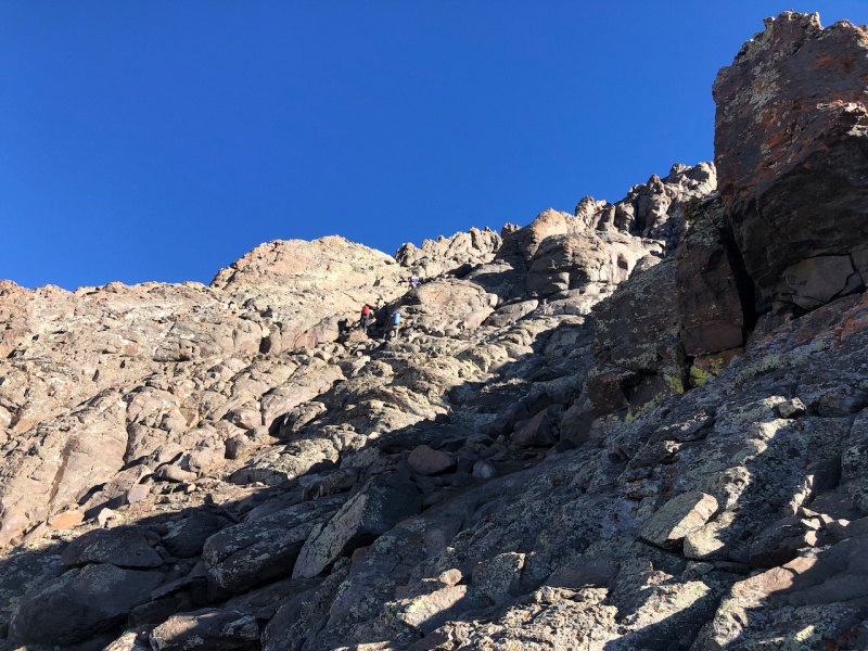
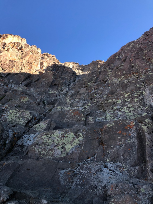
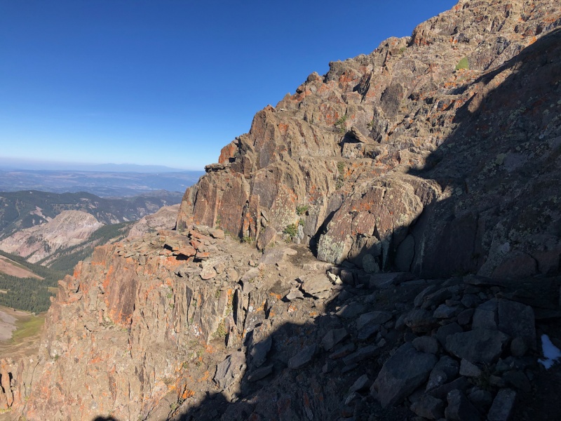
Took my time and spent 45 minutes at the top with another couple I met from Avon. Reminisced about different routes we've tried or should try. Good company to have on a solo trip. We were the only ones at the top the entire time. Descended the same route. Good exposure just below the summit made you really make sure your holds were solid. Overall not a bad climb down. 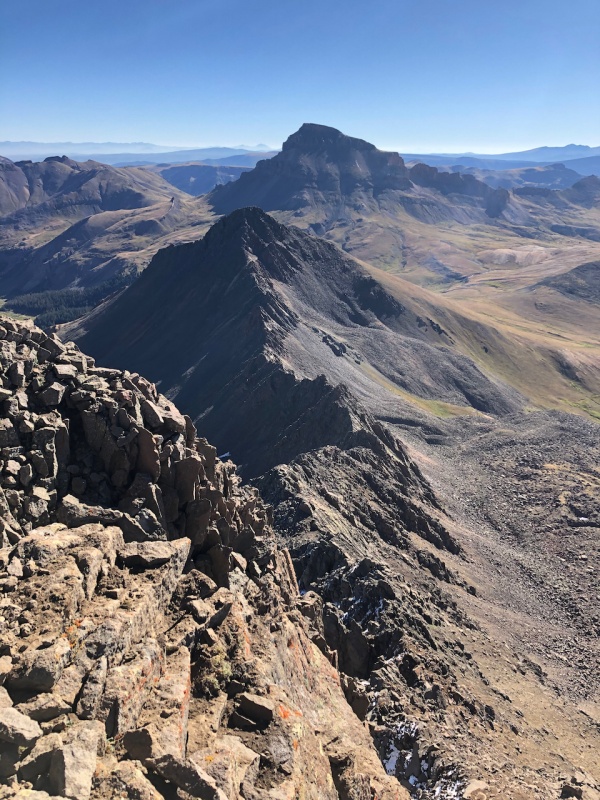
After getting passed the class 3 section, an easy hike down back to camp. Would spend another night at the same spot. Day 4: Thursday, Sept 4th 2020, Rest Day Packed up my gear and figured I'd take a rest day to recuperate a little bit. Drove back to Lake City and explored around, had some good food, drove up the Engineer Pass road and spent some time by the river. Beers were had. Later on in the afternoon I returned to the Matterhorn Creek trailhead and set up camp again but this time just across the street from where I was last night. 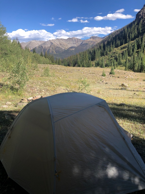
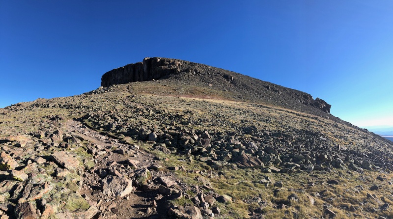
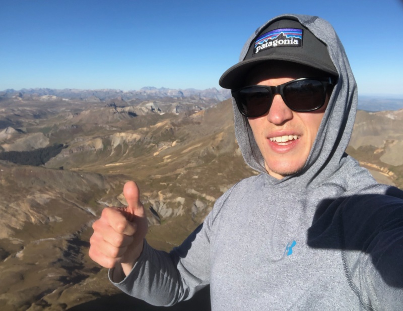
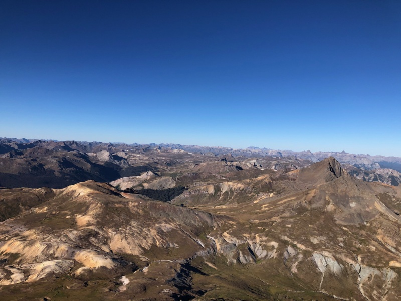
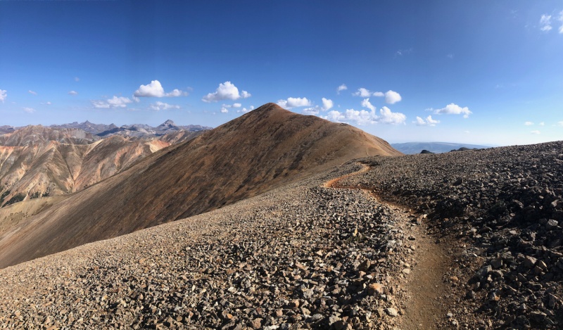
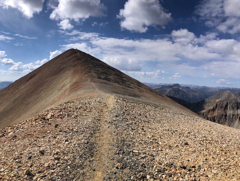
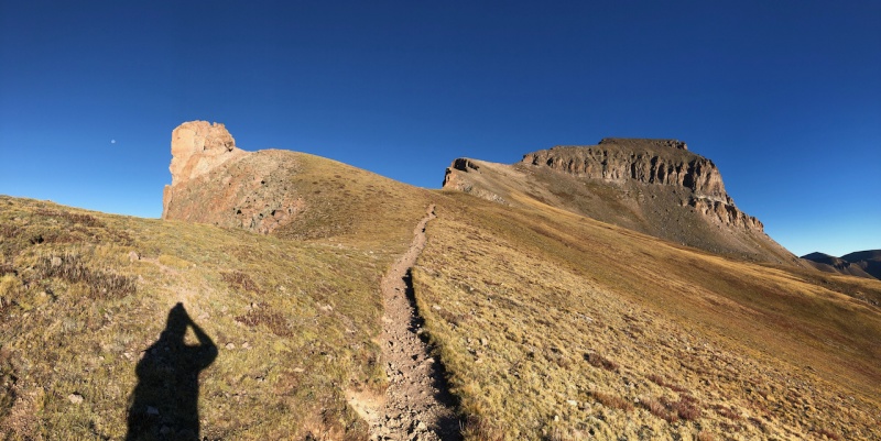
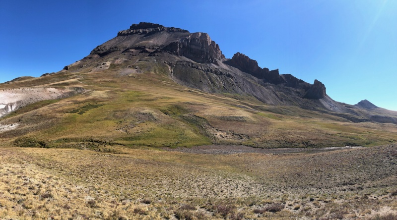
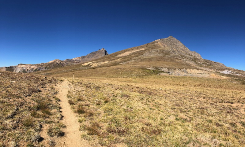
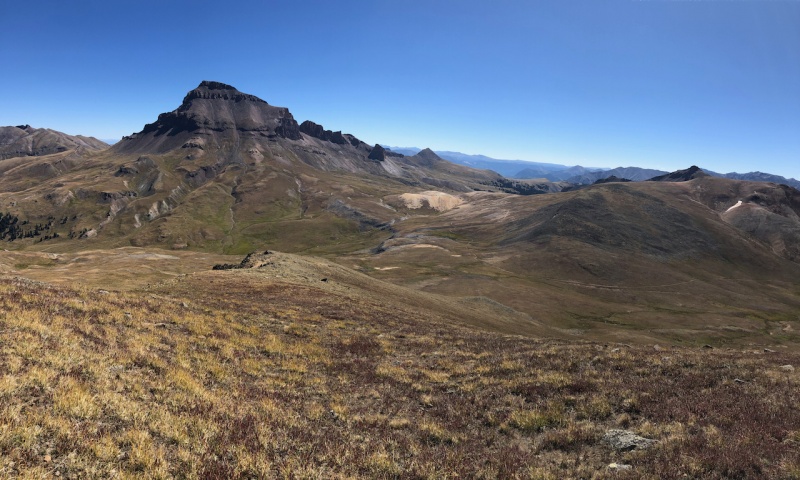
Day 5: Friday, Sept 4th 2020, Uncompahgre Peak (#25) and Matterhorn Peak Route: Matterhorn (2WD) TH --> Wetterhorn trail --> Ridge Stock Driveway Trail No. 233 --> Uncompahgre South Ridge (standard) & Matterhorn on return. Miles: ~15.5 Vertical feet: ~5,480' BIG day for the final day of my San Juan adventure. Without Matterhorn it would have been 14.6 miles and 4,600 feet. Started early for this one because I wanted to get home at a decent time and this was a long route. About 11 miles of this route is above timberline and has some of the most beautiful scenery I've had on a single hike. This route is not listed on the 14ers site. Gerry Roaches book lists it if you're interested, although my measurements were less than his. I would highly recommend this route over the standard route any day. Just make sure you have excellent weather because over 11 miles of this is above 12,000 feet. This route may be my all time favorite trail. Started at 4:40 AM. Saw one headlamp in front of me in the distance on the trail. Had 3 wildlife encounters in the night, scared the living s%*^ out of me each time. Two groups of deer and one unknown but it was one lone pair of eyes in an open tundra area. Will never get used to bright green eyes looking at you with nothing else but darkness. Hiked for a while before the sun came up. Was over 5 miles in by 7 AM, making great time. 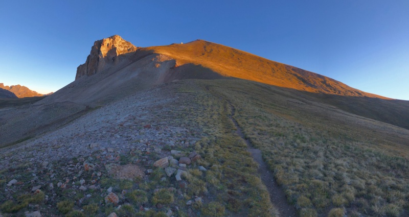
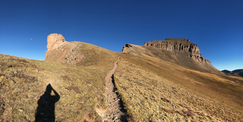
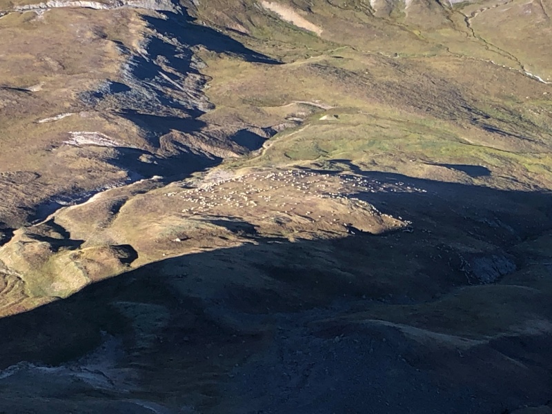
Descended back the same way I came. Saw 2 others along the trail back to Matterhorn creek. Pretty remote feeling up there. Incredible route. 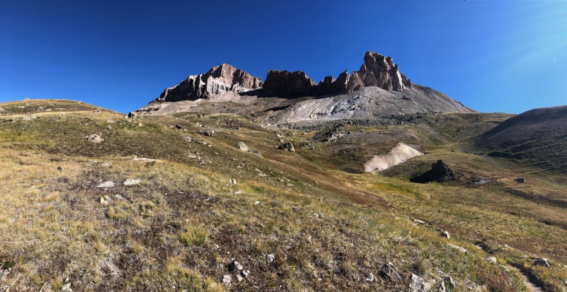
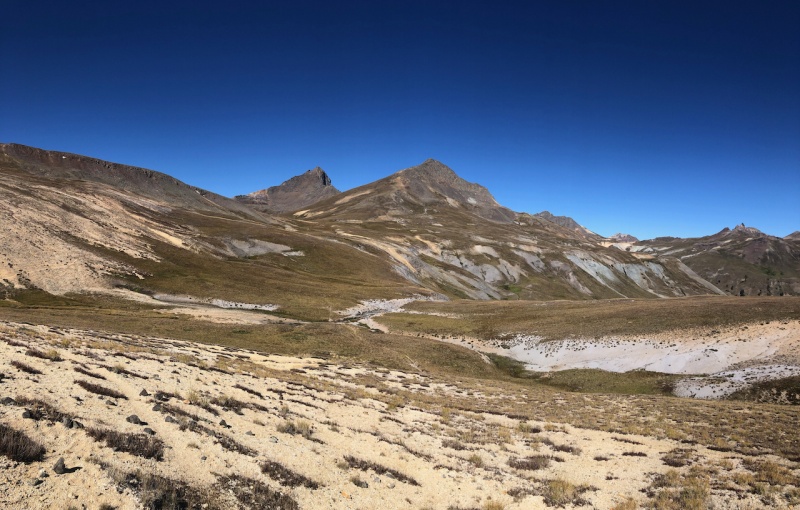
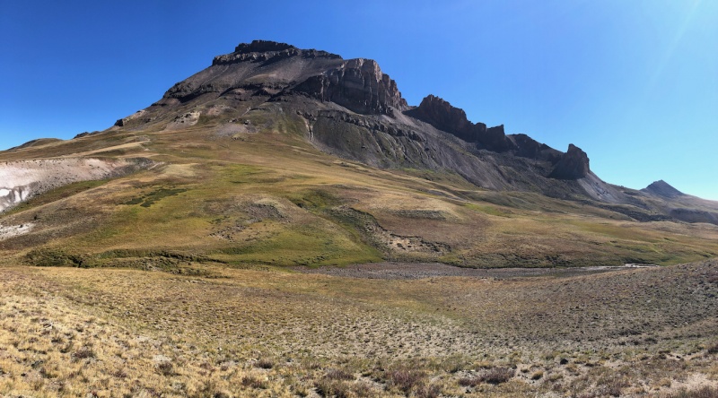
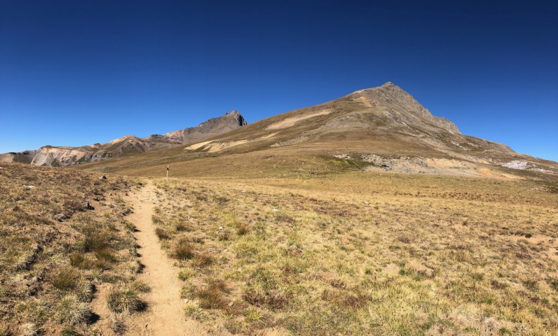
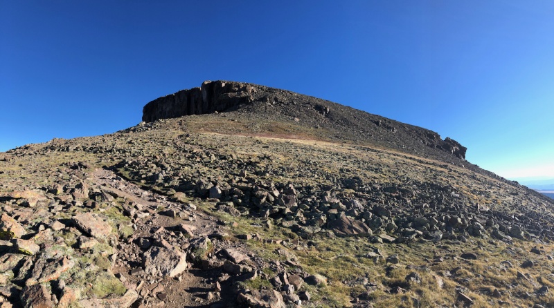
I got back to the lower slopes of Matterhorn Peak and thought, "you know I feel pretty good and I've got some time to kill, maybe I should just go up Matterhorn." Boy that was a mistake. I made it up and the fatigue was really kicking in after 4 days of summiting 14ers. 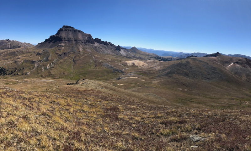
After making it to the top, I descended directly down the modest southern slopes and met directly with the trail again. From that point it's only about 2.5 miles to the trailhead. Made it back to the truck and officially ended my type 2 fun in the mountains. What an incredible trip, especially tackling it as a solo mission. A lot of time to think, reflect and a great experience to challenge your knowledge in the mountains. Will never forget this introductory trip to the San Juans and the camaraderie of fellow hikers along the way. If you've made it this far, thanks for reading this long report. It was truly an epic experience for me. Looking forward to getting back to the San Juans again. Thumbnails for uploaded photos (click to open slideshow): 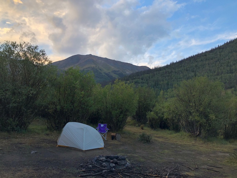
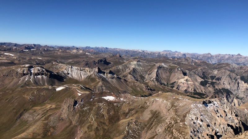
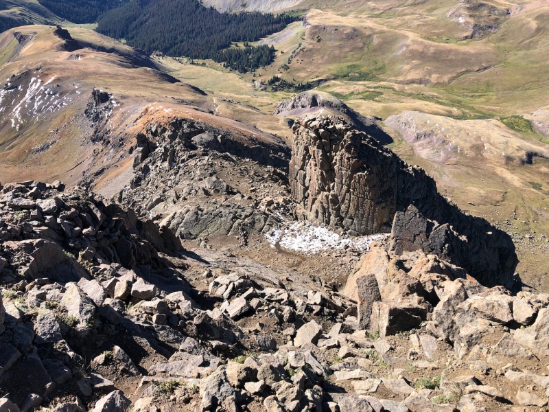
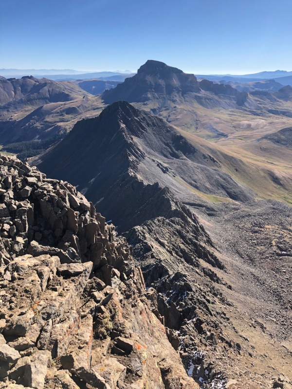
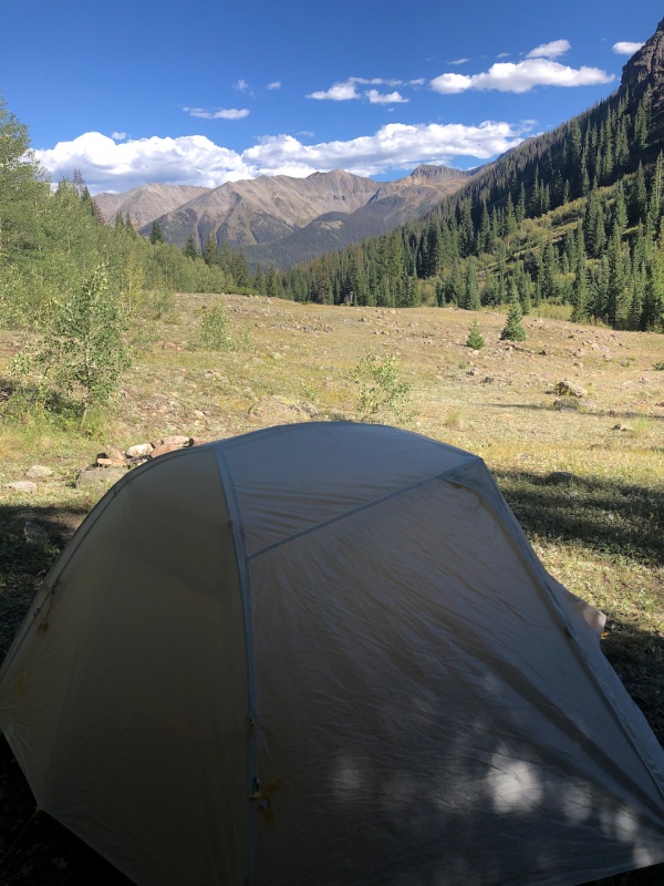
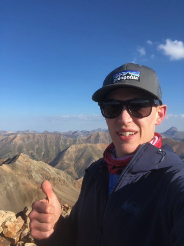
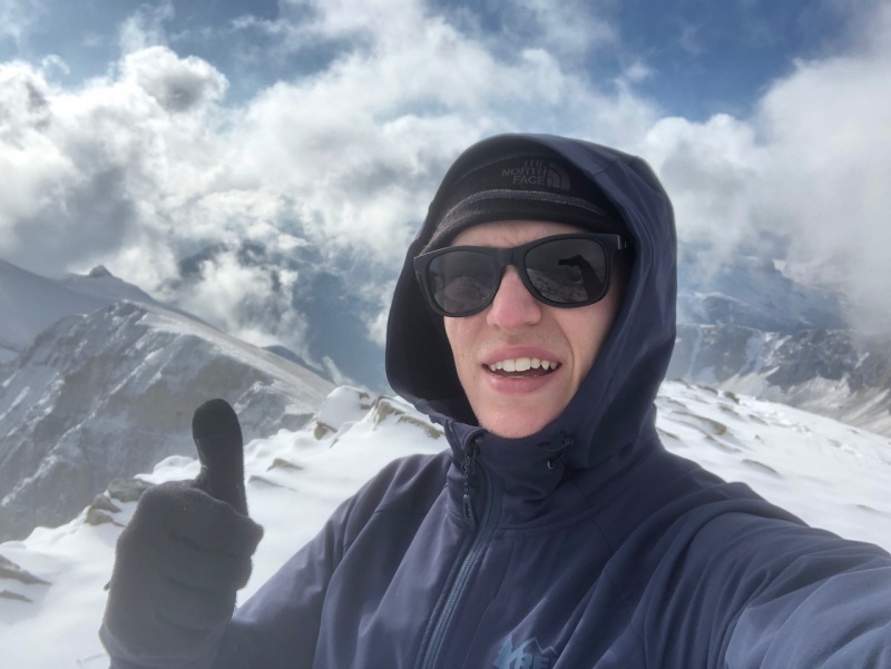
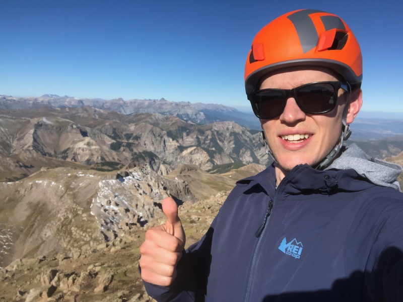
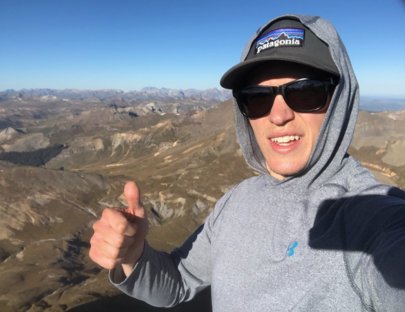
|
| Comments or Questions | |||||||||
|---|---|---|---|---|---|---|---|---|---|
|
Caution: The information contained in this report may not be accurate and should not be the only resource used in preparation for your climb. Failure to have the necessary experience, physical conditioning, supplies or equipment can result in injury or death. 14ers.com and the author(s) of this report provide no warranties, either express or implied, that the information provided is accurate or reliable. By using the information provided, you agree to indemnify and hold harmless 14ers.com and the report author(s) with respect to any claims and demands against them, including any attorney fees and expenses. Please read the 14ers.com Safety and Disclaimer pages for more information.
Please respect private property: 14ers.com supports the rights of private landowners to determine how and by whom their land will be used. In Colorado, it is your responsibility to determine if land is private and to obtain the appropriate permission before entering the property.