| Report Type | Full |
| Peak(s) |
Ruby Mountain - 13,278 feet Grays Peak - 14,275 feet Torreys Peak - 14,272 feet Mt. Edwards - 13,860 feet |
| Date Posted | 08/31/2020 |
| Date Climbed | 06/25/2020 |
| Author | jryor121 |
| Additional Members | MttMzz |
| Tour de Peru Creek |
|---|
|
This trip started like so many of my other trips, with me sitting down at my desk with caltopo maps sitting right in front of me, looking at the ridge lines of various mountains. I was looking to find a fun morning run of Grays and Torreys that was even more niche of a route than Kelso. This led to me discovering that the south ridge of Grays looked pretty decent, so I kept the loop going, and made it around from Grays to Edwards, following on towards Argentine Peak. 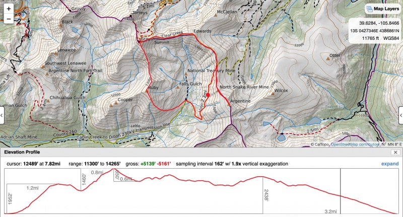
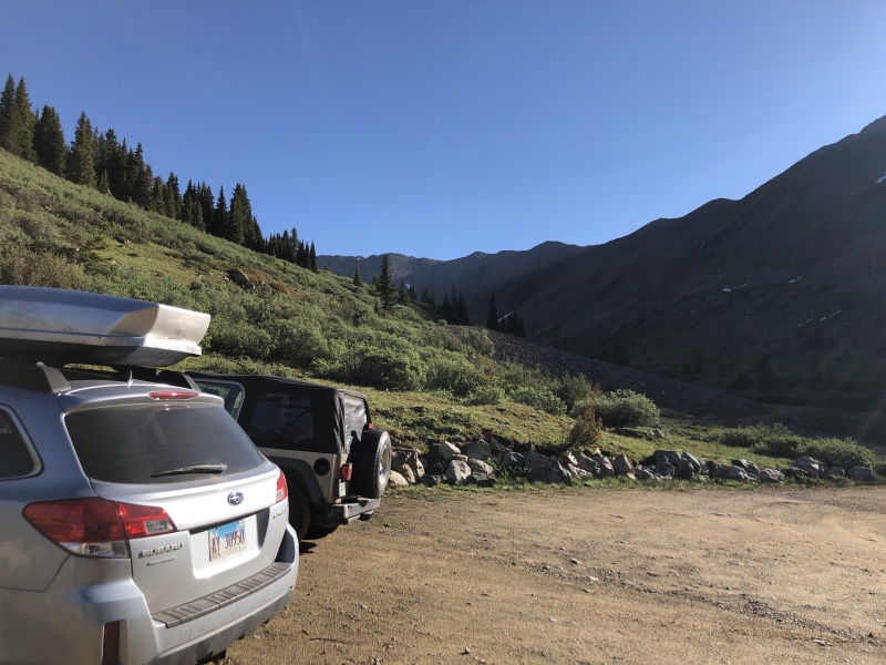
So after devising this route, I was able to get a feel for what my morning trip was going to look like. I soon after sent a text to Matt about doing this, and he was on board pretty quick for this niche route of a very popular mountain. We left from Denver around 6:40 AM, arriving at the Peru Creek Trailhead around 7:45 AM. we quickly got a nice stretch in, and were on our way up a mountain without a route. 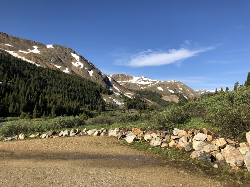
As we started up the south face of Ruby Mountain, we quickly realized that this part of the mountain has nothing resembling a trail. So we continued up the face, slowly switchbacking our way across the rock/shrub/grass mixture that led us up to the summit. 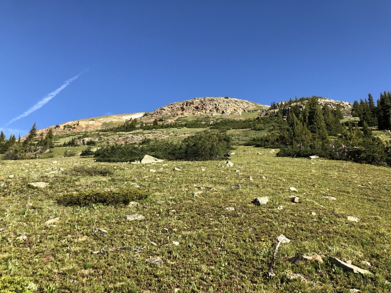
We made sure not to cross into any of the bushes, staying around them walking through the grasses or rocks as we made our way up. 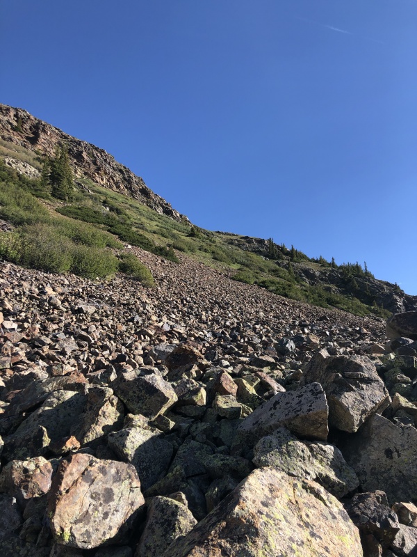
After crossing the large boulder field about halfway up the south face, we made it to a flatish spot on the mountain. We took a quick break, and continued on up the mountain towards the summit. 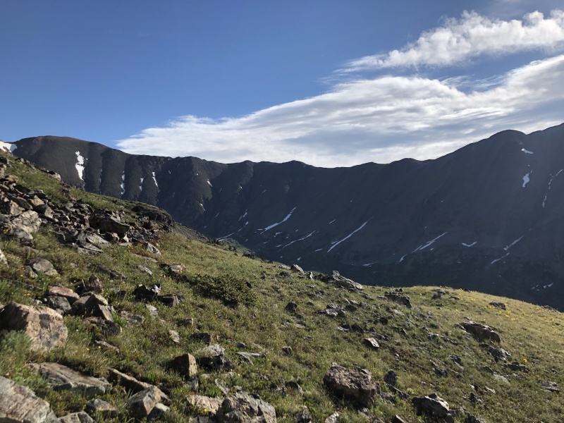
As we made our way up to the summit of Ruby, it was quite obvious why it got that name. The rocks were some of the most red rocks I've seen on any front range peak. 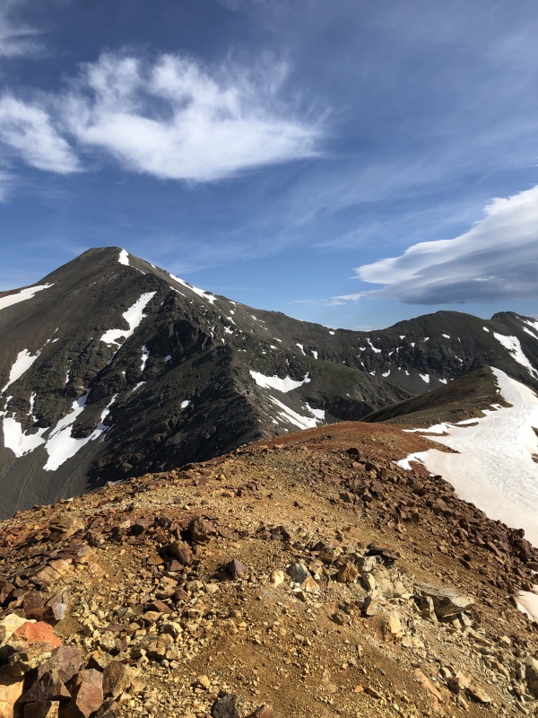
It was finally time for us to begin our long journey from the summit of Ruby Mountain towards the summit of Grays, unsuspecting of what the route was actually supposed to be like. 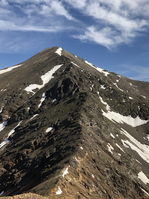
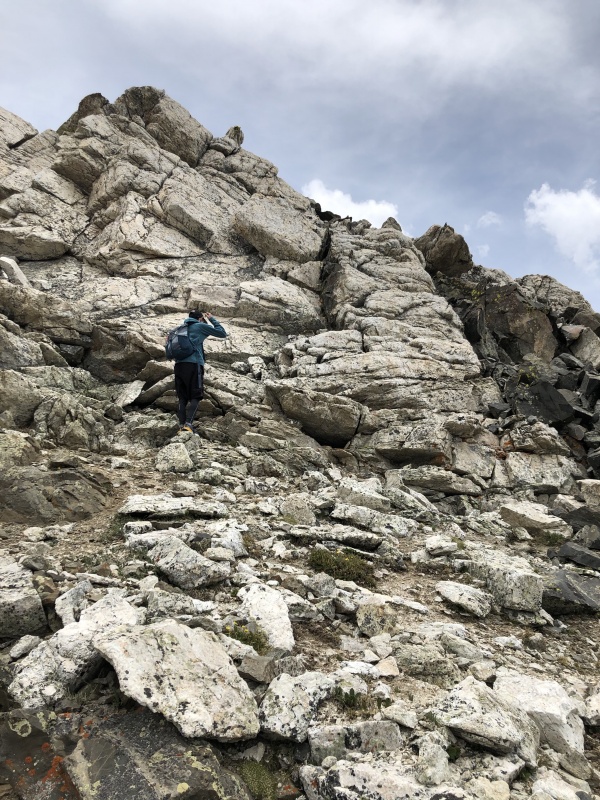
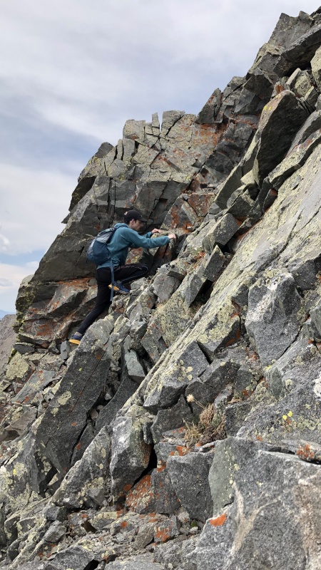
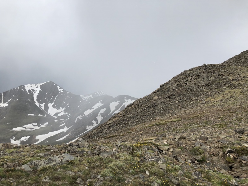
At first glance, the route seemed pretty easy, and pretty straightforward. What we failed to realize was the rock structures along the ridge that made it a lot more difficult than we suspected. We had no issues for a while, until about the dark shadowy area in the photo above. There were large vertical sections of some good 3+/4 cruxes to get around (which we had no idea were there). 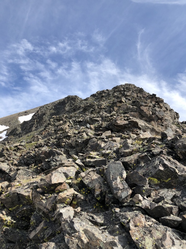
After some solid scrambling along some decent rocks, we made our way to the crux of the route. This was a section along the ridgeline that was a bunch of very tight and steep gullies next to one another. To get past this section, the best way we found was to stay lower off of ridge proper, and wait until we find a good gulley. Then once we found our winner, we went ahead and climbed up that to ridge proper. Once gaining ridge proper again, it was smooth sailing again up to the summit of Grays. 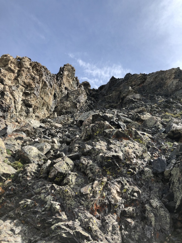

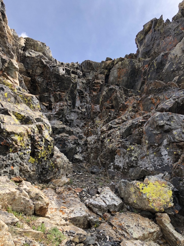
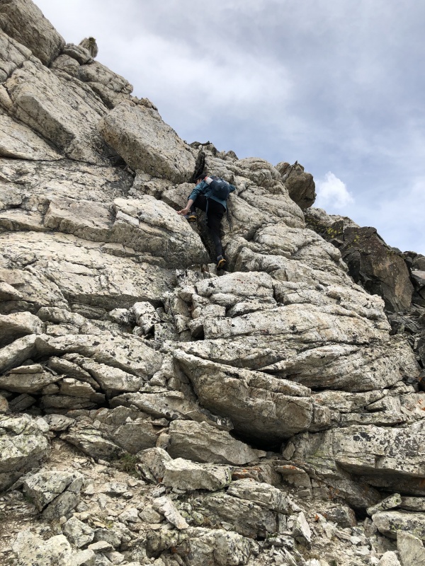
The crux of the route was a solid class 3+/4 pitch, about 25 feet tall. The rocks were all very stable on this part. Being nearly 6 feet tall, I had no issue reaching out with an arm or a leg to help get a sturdied hold as I flew up this section. Matt (sorry bud) is a little shorter, and had a little more difficulty getting up it, since it was harder to get the same bomber holds that I was able to reach. 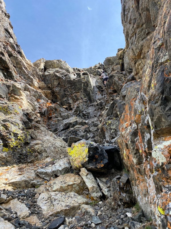
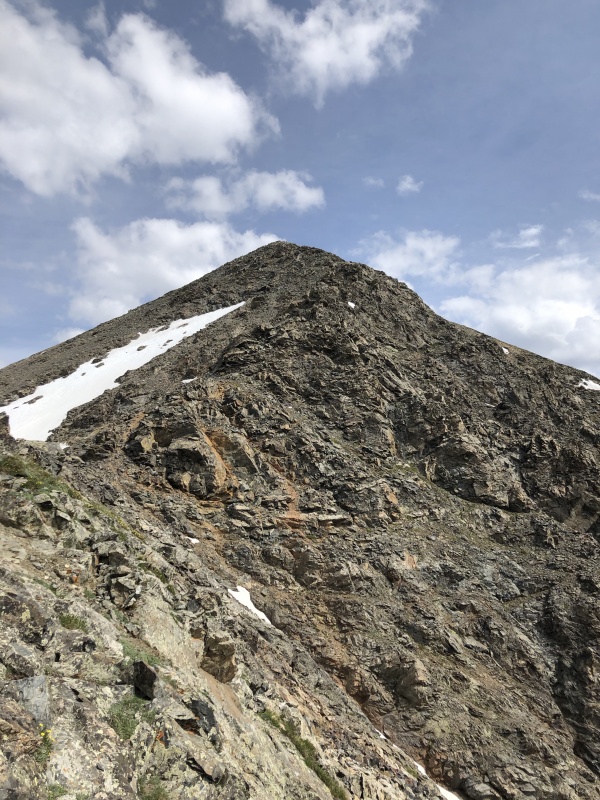
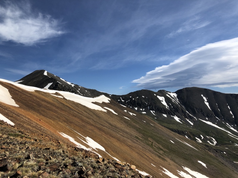
After climbing up and out of the ridge, the rest of the ascent up Grays was a cake walk. We made it up to the summit of Grays at 10:54 AM. Instead of making the loop we decided on, with heading down off Grays and over to Edwards, I decided that we should bag Torreys since we're just right there. So after some slight convincing, 30 minutes later we were up on top of Torreys. On our descent route from Torreys towards Edwards, we didn't want to re-summit Grays. So instead we traversed across from the saddle between Grays/Torreys straight across over to the ridgeline towards Edwards. This wasn't too hard, as long as you make it to the ridge before the large gulley that separates the NE face of Grays to the North face of the ridgeline. 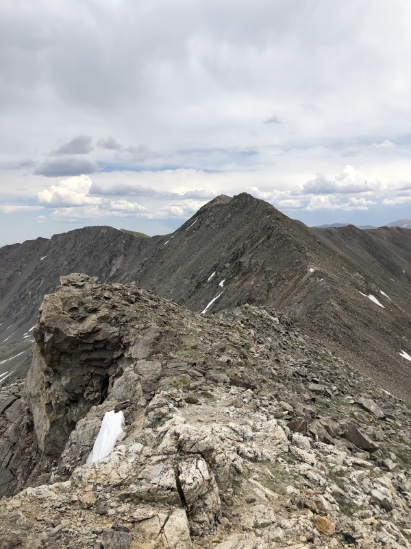
Most of this traverse was pretty easy and straightforward. There were a couple sections of the ridge that definitely had some fun exposed class 3 moves, but overall much easier (for us) than the Ruby to Grays traverse. 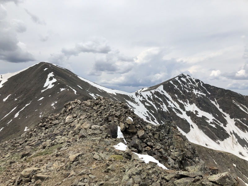
After our fun adventure of figuring out the traverse without much of a route, we made our way to the summit. We both thoroughly enjoyed the scrambling involved with this traverse, and didn't mind having to take a step back every now and then to figure out which spot would be the best to go through. By the time we got up to the summit of Edwards, it was roughly 1:30. At this time it was looking pretty menacing out to the West with some potential rain clouds. So we kept it in mind, and continued on our way towards Argentine Peak. 

Right as we were getting to the saddle of the ridgeline, our feet feeling destroyed, we heard thunder. Now with us being at a solid 13,500', this was not a good sign. If we wanted to be stupid, we could have just powered on through to go bag Argentine then get off the mountain ASAP. But we decided to stay on the safe side (as always), and get the hell off the mountain. This proved to be a very good idea pretty quickly. As we got the the part of the trail that splits between going back down into Peru Creek Basin, or up to Argentine, it began lightly hailing. This was the final straw for us, and without any hesitation, we started both running back down towards the car. 
We continued running all the way down the mountain until we got back to the car. By the time we made it back, we had been rained on and hailed on a decent bit, but weren't too wet and beaten. We got in the car with our heads high, happy of a fun day of getting some very popular peaks, in a way that I'd never seen done before. 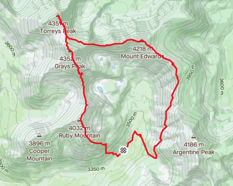
Although bummed about not doing my own route that I planned, I think that it was a great start for getting a feel with routefinding. I would love to come back and try this loop again, however also bag some more peaks (such as Cooper Mountain, Argentine, and Decatur Mountain). Only so much dreaming before it becomes a reality (maybe I'll get back to this route in the future), but for now it's just another great day in the mountains. Link to my strava route for the day: https://www.strava.com/activities/3671166988 (PS: I had a friend hike this loop backwards, and it's much easier to the loop my way, unless you like fun hard downclwimbs) Thumbnails for uploaded photos (click to open slideshow): ")
")
")
")
")
")
")
")
")
")
")
")
")
")
")
")
")
")
")
")
")
")
")
")
")
")
")
")
")
")
")
")
")
")
")
")
")
")
")
")
")
")
")
")
")
")
|
| Comments or Questions | |||
|---|---|---|---|
|
Caution: The information contained in this report may not be accurate and should not be the only resource used in preparation for your climb. Failure to have the necessary experience, physical conditioning, supplies or equipment can result in injury or death. 14ers.com and the author(s) of this report provide no warranties, either express or implied, that the information provided is accurate or reliable. By using the information provided, you agree to indemnify and hold harmless 14ers.com and the report author(s) with respect to any claims and demands against them, including any attorney fees and expenses. Please read the 14ers.com Safety and Disclaimer pages for more information.
Please respect private property: 14ers.com supports the rights of private landowners to determine how and by whom their land will be used. In Colorado, it is your responsibility to determine if land is private and to obtain the appropriate permission before entering the property.


