| Report Type | Full |
| Peak(s) |
Mt. Sneffels - 14,155 feet |
| Date Posted | 08/28/2020 |
| Date Climbed | 08/27/2020 |
| Author | Wentzl |
| North Side Meandering |
|---|
|
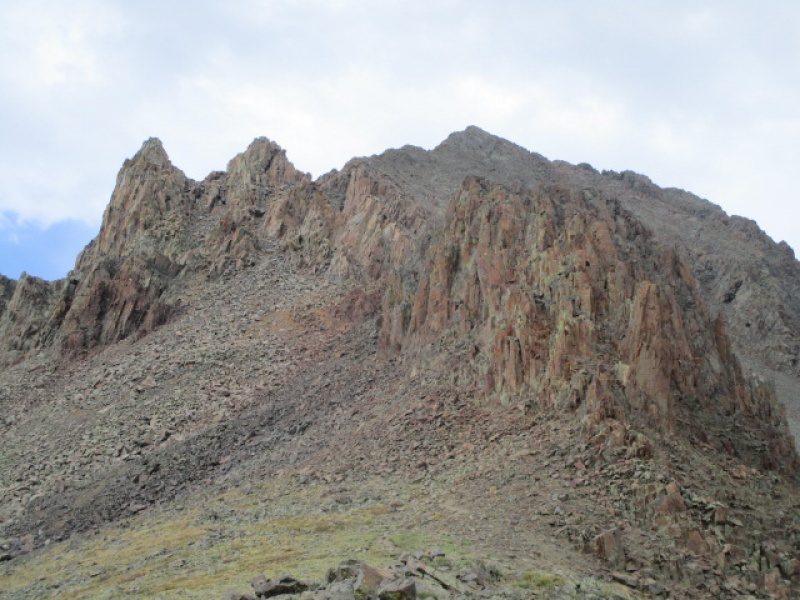
SUCCESS FROM FAILURE DISCLAIMER: The information in this report is for entertainment only. This route has almost no redeeming value and should not be climbed by anyone at any time for any reason. This is the fourth trip report I have posted on Mt. Sneffels during the past year. These were posted in the Fall, Winter and Spring. Things just sort of worked out like that, but when I realized the trend, I figured it would be nice to round things out with a Summer report. But Mt Sneffels in the summer time. What could be interesting about that? So I decided to try the North Buttress, which has been written up only a couple times here. I did not bring an axe, which turned out to be a mistake. I had guessed, incorrectly, that the snow would be melted out enough to cross to the start of the N Buttress in running shoes. While it did look doable, the potential for slip and nasty slide made this option unappealing. I have to admit, that eyeballing the route up close also gave me some pause about heading up there alone. There was a rope hanging down from the first pitch, and a sling in a position to allow a belay back down over the ice, which suggested that someone before me got just a little further than me, but bailed as well. But on the approach hike I did consider that the North Buttress might elude me on this day, so while on the approach I considered other options. And after my failed start, this is what I did. 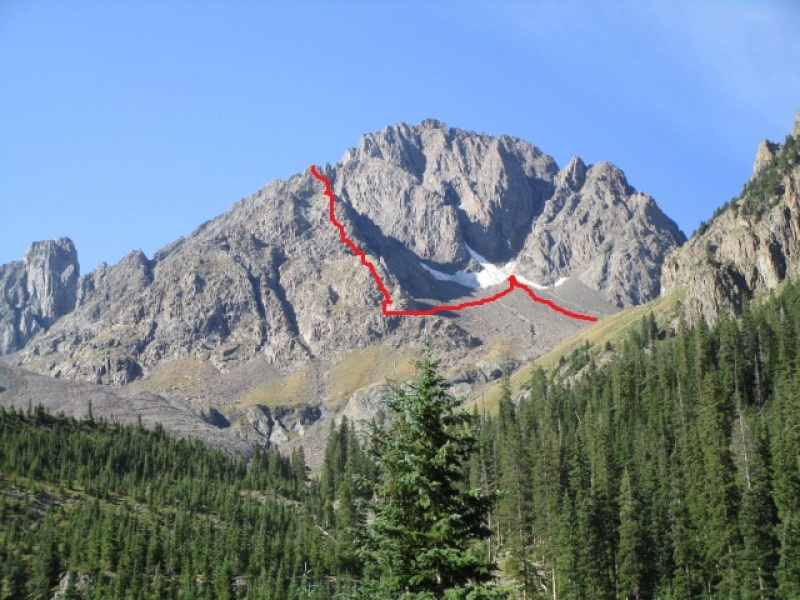
I didn't know anything about this line except that it looked like it would be fun. I also knew that in his guide, Roach describes exiting the top of the Northeast Couloir to access Scree Col and finish on the standard Sneffels route. So my backup plan was to climb this eastern north buttress, then drop down into the notch at the top of the Northeast Couloir and then finish Sneffels, then descent the SW Ridge to Blue Lakes pass and then back down the Blue Lakes trail to the car. Turned out to be a good plan. The hike up the unknown ridge has a nice mix of blocky third class scrambling mixed in with just enough dicey 4th class grassy ledges to keep the day interesting. Here is another look at the route taken. The green line on the next photo is the North Buttress route, which remains on my hit list. 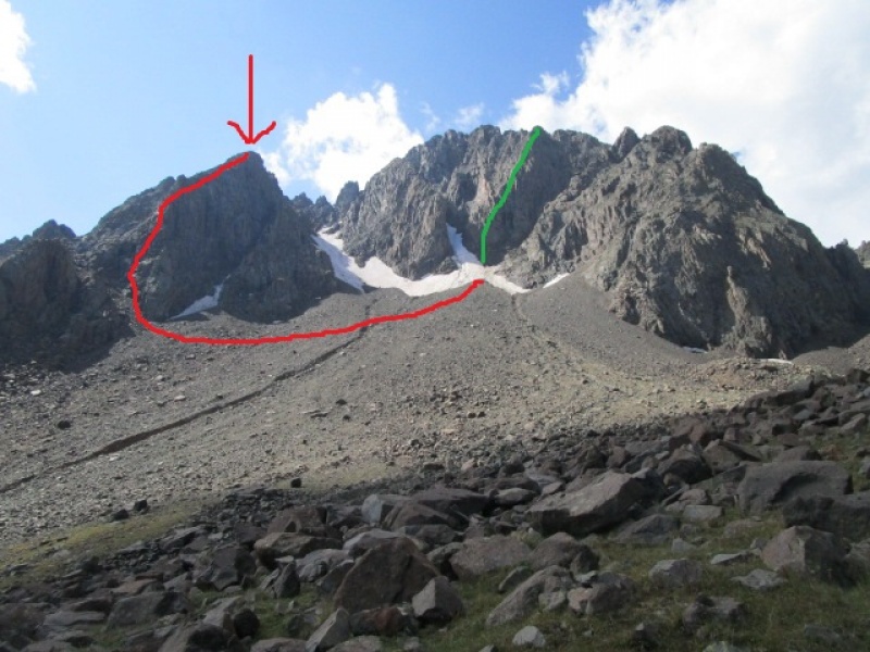
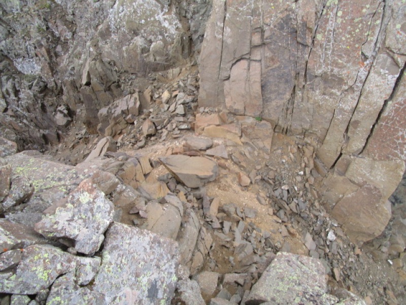
With the low angle of the snow and ice below the North Buttess, and all of the rock and dirt covering it, it would have been pretty straight forward to get over it with just an axe in hand. Crampons would be overkill and even trail runners would have been sufficient. Here is a closer look from the high point reached. 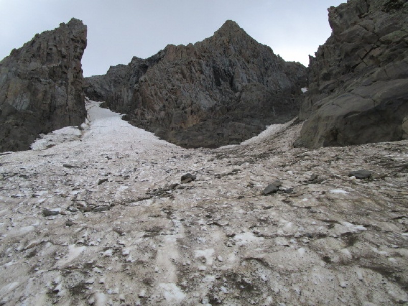
On my retreat I spied what appeared to be a golf disc presumably thrown from the summit. Anyone want to take credit? It went a good long way to end here. 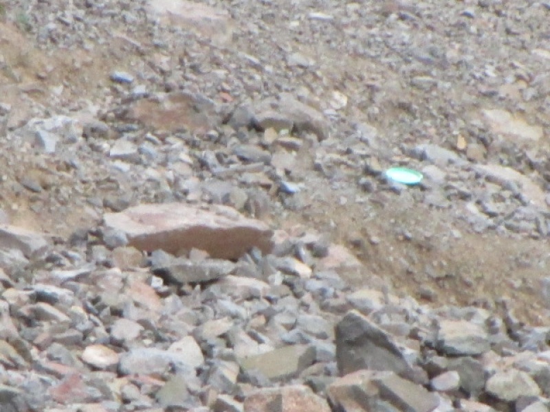
So with a mix of disappointment and trepidatious excitement I head off for the unknown! A look back gave an interesting view up the first leg of the Snake Coulior. 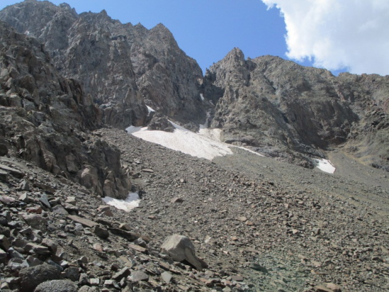
And here is the start of the new adventure. 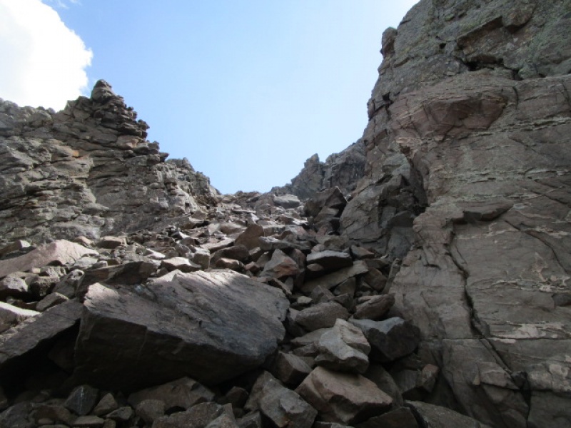
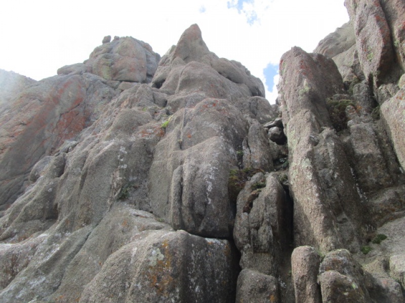
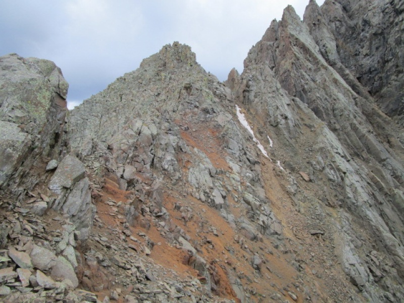
I spent about an hour and a half climbing, sometimes on the ridge, but mostly just below the crest on the east side. Lots of route finding decisions and some dead ends and retracing along the way. The next couple photos show the terrain encountered along the way. 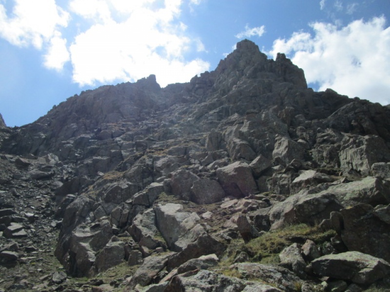
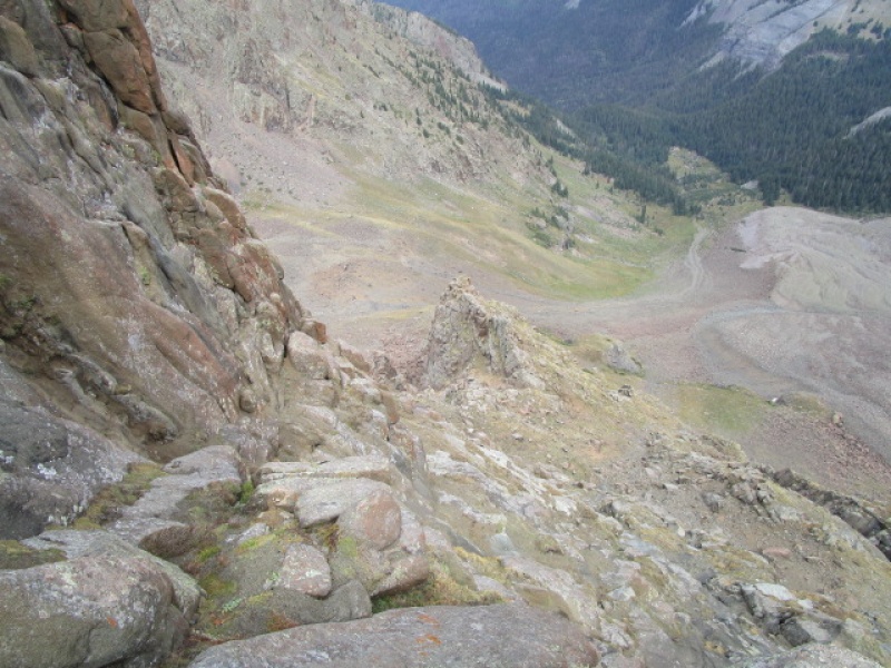

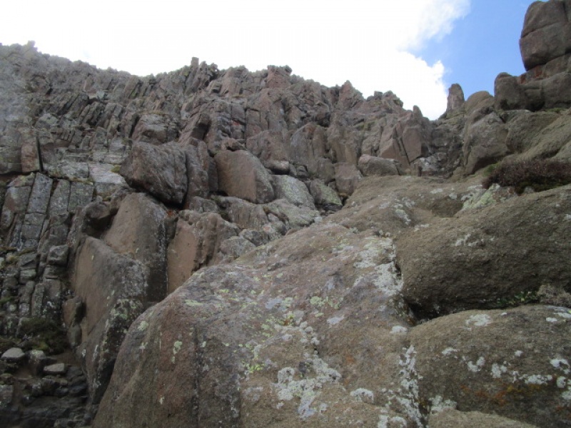
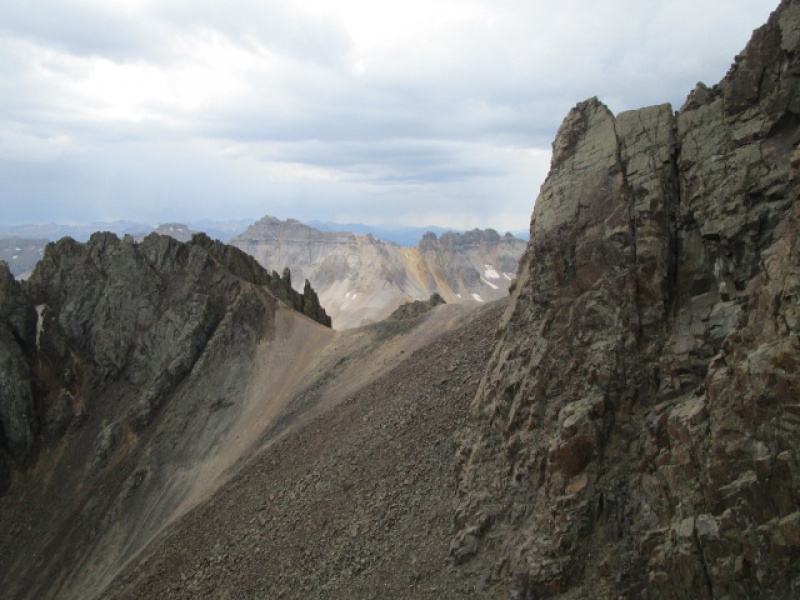
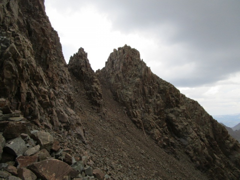
Now I had it in my head that once I got to the top of what is seen in the previous photo, that I would then be at the top of the Northeast Coulior and have the Scree Col in sight. But as it turned out, this summit was just a bump along the ridge and there was some work yet to do. 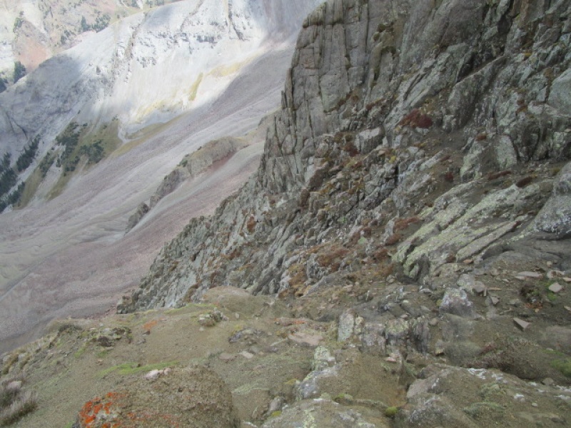

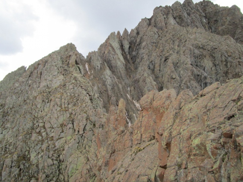
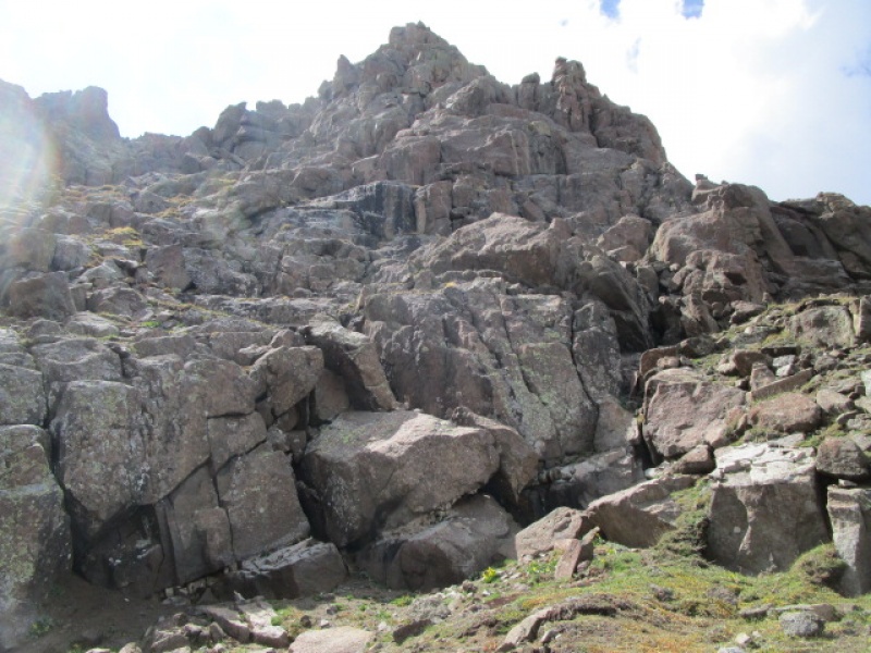
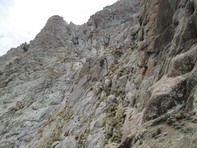
This was a little disheartening. The ridge ahead looked truly daunting. There is a rock tower that would make getting across directly very impractical. The objective is highlighted by the arrow in the next photo. 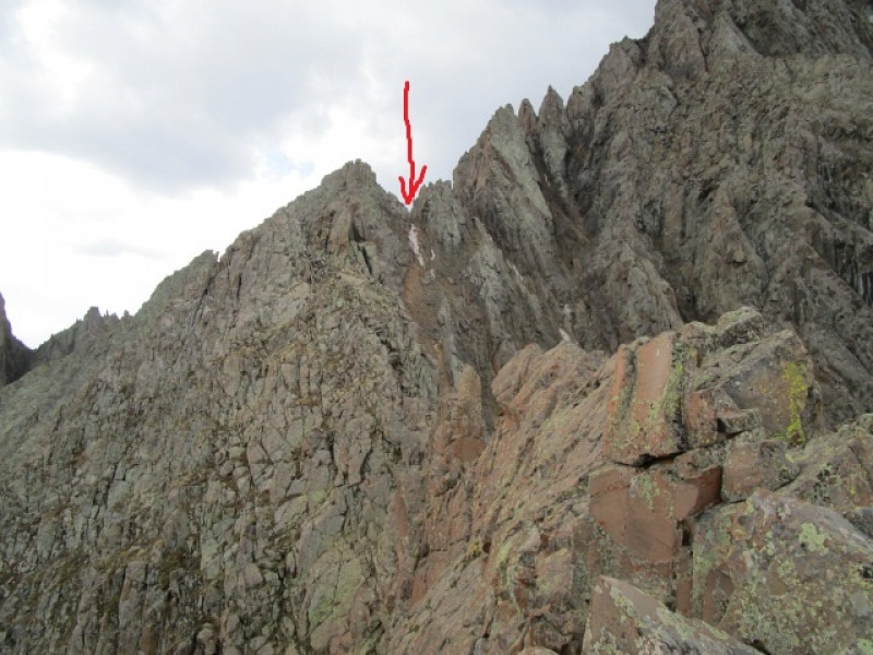
It turned out that dropping off to the east, losing just about 100 vertical feet made getting past the tower pretty easy and the whole journey from the false summit to the notch was a nice part of the day. Going around the small summit to get to the notch directly was too loose and difficult. Turned out the best way was to get on the summit and then drop down into the notch. 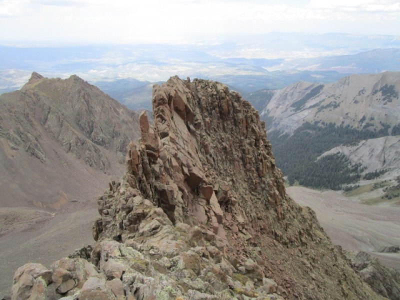
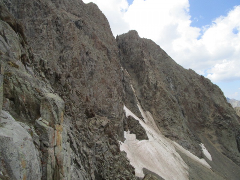
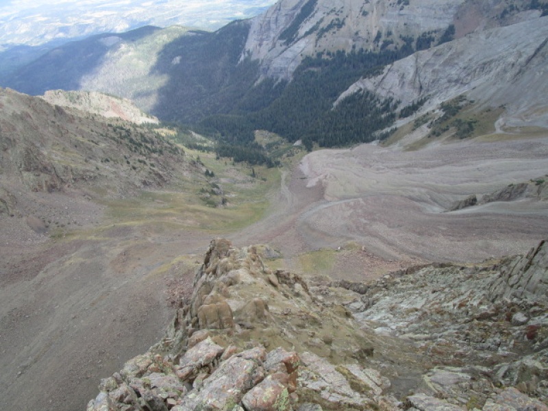
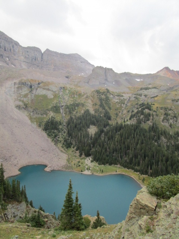
At around 2:00 in the afternoon, 5 hours after starting out, Scree Col comes into view and I know for the first time in several hours how the rest of the day will go. Funny side note, at the moment I step into the notch the first crack of thunder of the afternoon lets loose! But the afternoon storms are scattered and small and the weather is shaping up for a fine afternoon. 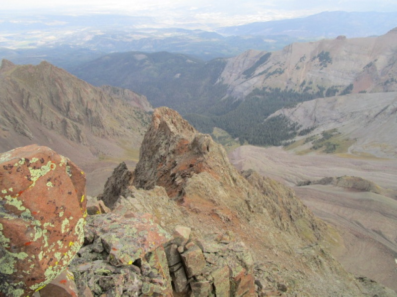
I made the summit of Sneffels at around 3:30 p.m. and enjoyed having it to myself. I did pass two folks coming down. There was a smattering of rain and graupel, but not enough to even bother breaking out the raincoat. I hiked down the SW Ridge to Blue Lakes Pass and enjoyed the nice evening, getting back to the car before 7:00 p.m. But the day had another surprise in store! 
Way down the trail, just 15 or less minutes from the car, I came across a Pine Martin. I think this must have been a juvenile because it seemed really curious about me and hung around to let me snap a couple photos. He responded to my chittering noises and we hung out for a good 5 minutes. They make some really cool noises which I am at a loss to describe. 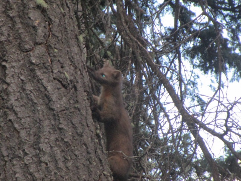
I am guessing it was a pine martin. I have only seen critters like this a couple times and never more than a fleeting glimpse. 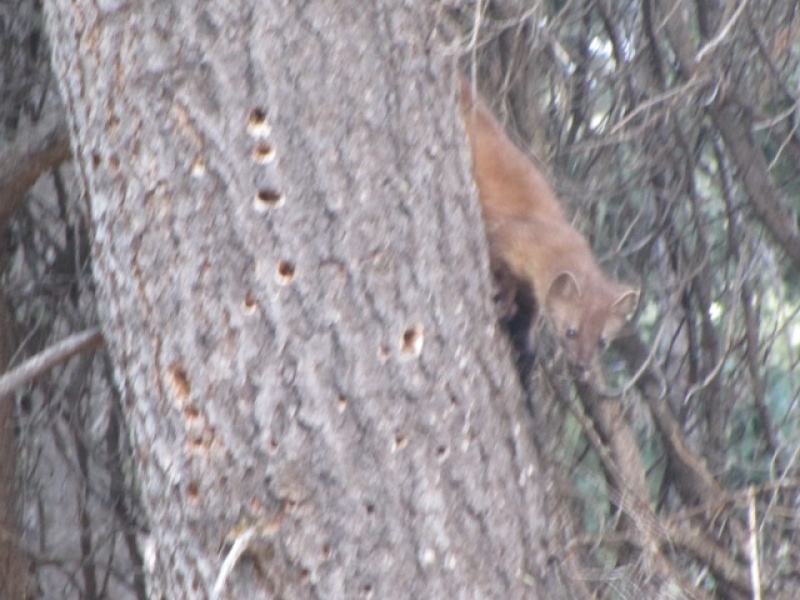
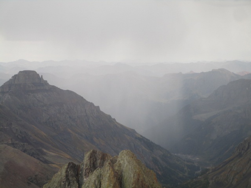
And as if that weren't enough, the drive out looked like this. 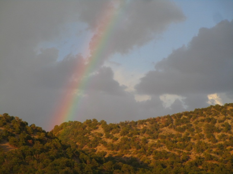
Oh yeah, if you want your disc back, give me a call. 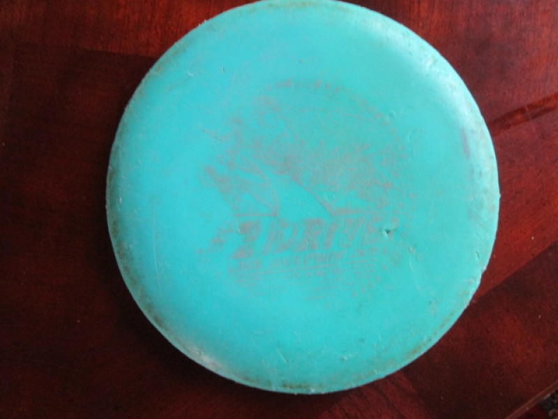
Thumbnails for uploaded photos (click to open slideshow): ")
")
")
")
")
")
")
")
")
")
")
")
")
")
")
")
")
")
")
")
")
")
")
")
")
")
")
")
")
")
")
")
")
|
| Comments or Questions | ||||||||||||
|---|---|---|---|---|---|---|---|---|---|---|---|---|
|
Caution: The information contained in this report may not be accurate and should not be the only resource used in preparation for your climb. Failure to have the necessary experience, physical conditioning, supplies or equipment can result in injury or death. 14ers.com and the author(s) of this report provide no warranties, either express or implied, that the information provided is accurate or reliable. By using the information provided, you agree to indemnify and hold harmless 14ers.com and the report author(s) with respect to any claims and demands against them, including any attorney fees and expenses. Please read the 14ers.com Safety and Disclaimer pages for more information.
Please respect private property: 14ers.com supports the rights of private landowners to determine how and by whom their land will be used. In Colorado, it is your responsibility to determine if land is private and to obtain the appropriate permission before entering the property.


