Download Agreement, Release, and Acknowledgement of Risk:
You (the person requesting this file download) fully understand mountain climbing ("Activity") involves risks and dangers of serious bodily injury, including permanent disability, paralysis, and death ("Risks") and you fully accept and assume all such risks and all responsibility for losses, costs, and damages you incur as a result of your participation in this Activity.
You acknowledge that information in the file you have chosen to download may not be accurate and may contain errors. You agree to assume all risks when using this information and agree to release and discharge 14ers.com, 14ers Inc. and the author(s) of such information (collectively, the "Released Parties").
You hereby discharge the Released Parties from all damages, actions, claims and liabilities of any nature, specifically including, but not limited to, damages, actions, claims and liabilities arising from or related to the negligence of the Released Parties. You further agree to indemnify, hold harmless and defend 14ers.com, 14ers Inc. and each of the other Released Parties from and against any loss, damage, liability and expense, including costs and attorney fees, incurred by 14ers.com, 14ers Inc. or any of the other Released Parties as a result of you using information provided on the 14ers.com or 14ers Inc. websites.
You have read this agreement, fully understand its terms and intend it to be a complete and unconditional release of all liability to the greatest extent allowed by law and agree that if any portion of this agreement is held to be invalid the balance, notwithstanding, shall continue in full force and effect.
By clicking "OK" you agree to these terms. If you DO NOT agree, click "Cancel"...
OK, so the above picture wasn't taken on my hike. I took it at my house last weekend. But it shows just how red the smoke has made the sun appear. And that same haze affected my eyes, lungs and the photos I took on the hike. Damn fires...
Trailhead: Gibson Creek Route: Bad up, Good down Length: 7 miles Vertical: 4300 feet Partners: Solo
After coming up short on my last two hikes (Little Horn and Meeker), I just had to get me a summit. I do love the Sangres and although they are a long drive from Parker, I decided to give Spread Eagle a shot. It looked to be relatively easy so I read a couple TR's, printed off a copy of the route description and was off. I left my vehicle at 6:15 and started off on what I thought would be a simple hike.
It would have been had I been paying attention. I missed the first creek crossing - probably day dreaming about the electrical work I'm doing at home (electrifying the shed I built last summer) and when I realized my error, I had a pretty good idea where I made my mistake (and on the return, I verified that), but I thought "Why turn around? Why not just go up on the ridge north of the creek and follow it around.
Bad idea...
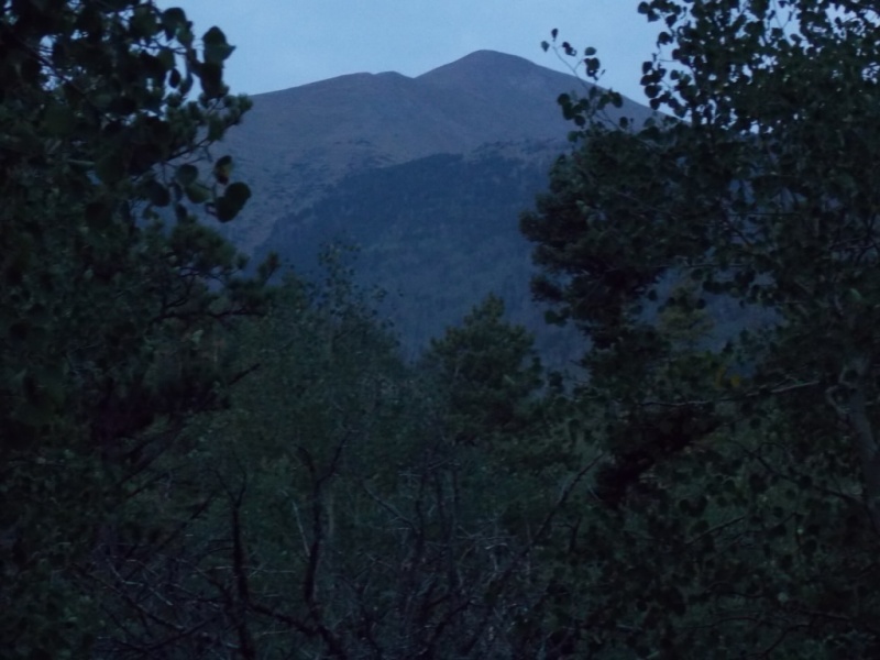
One picture of Spread Eagle before it got tough.
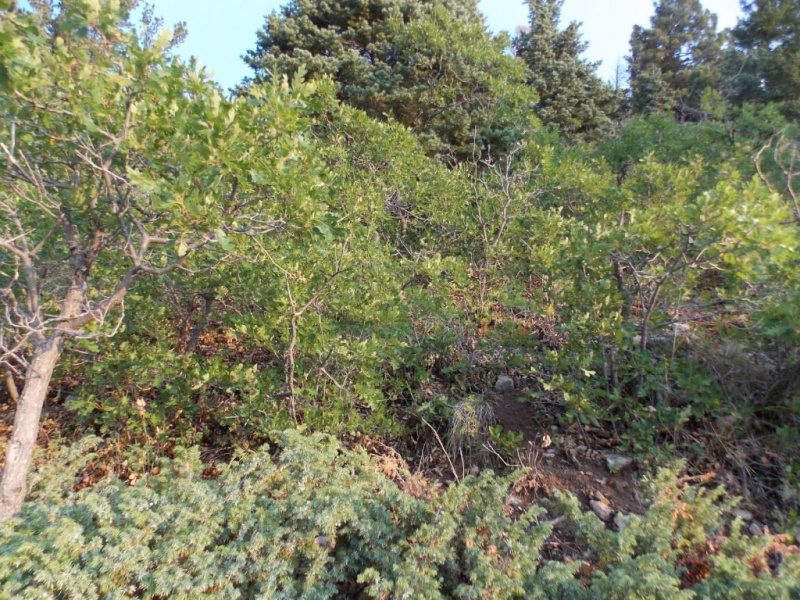
No scrub oak yet...
The spur trail I was on petered out pretty quickly and I was faced with bushwhacking through scrub oak. I HATE scrub oak - even worse than willows.
I shoulda back tracked cuz I'd be on the left ridge with no scrub oak...
Nothing like a llittle scrub oak to build character
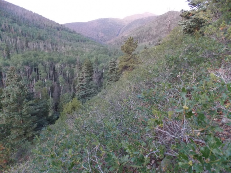
But, after a relatively short while, I made the ridge and it looked cruiser. For a while anyway.
Like a walk in the park!
Looks like a game I played as a kid - Pick up sticks
At this point, I was thinking "This should be the standard route."
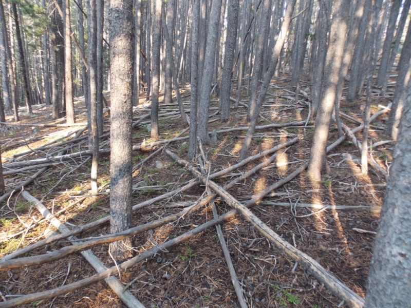
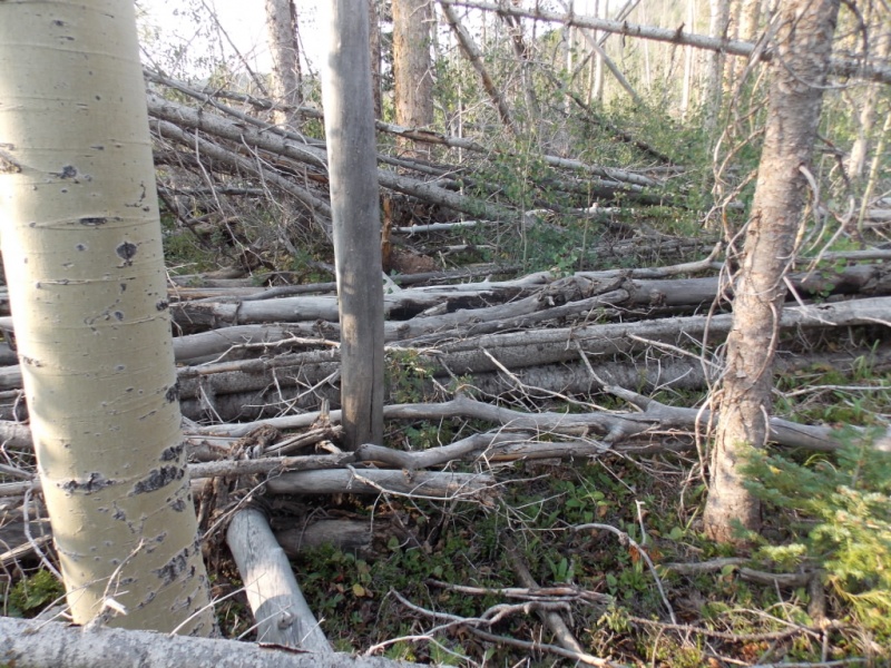
And then this...
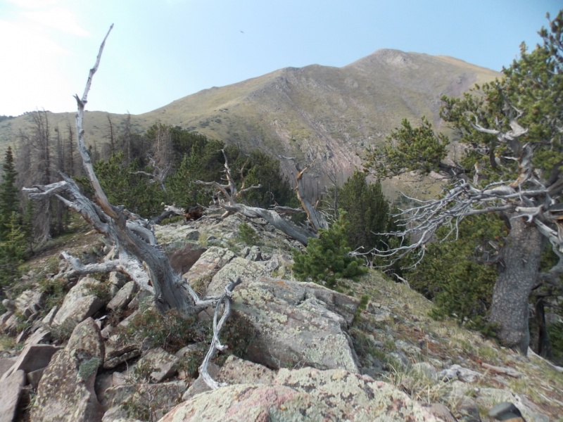
Deadfall hell
This was literally some of the worst deadfall I've had the displeasure of navigating. And the above picture isn't the worst of it. I didn't take many pictures because I was too busy trying to figure out how to get through it. It really didn't go on all that long - maybe 300 yards - but it took me forever to get through it.
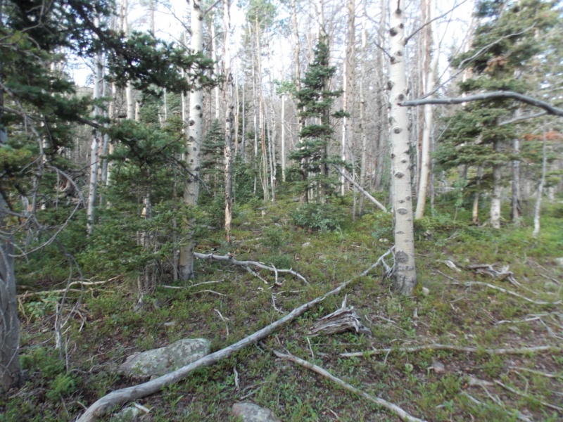
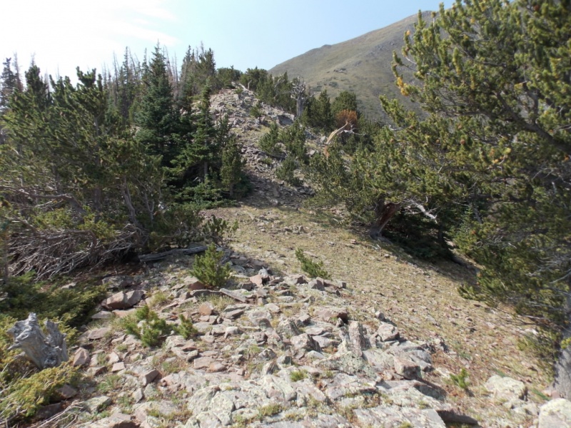
But, it did ease up and then it was a matter of a fairly steep hill to get to treeline.
Easy peasy
A few game trails and occasional clearings made the going pleasant.
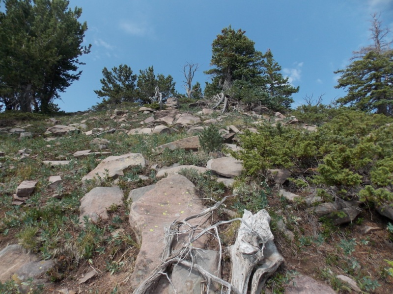
Nearing the top of the ridge.
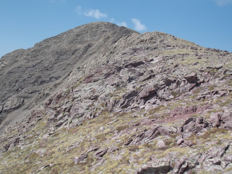
First view of the summit since the start.
An easy ridge that leads to the standard route.
Artsy photo attempt
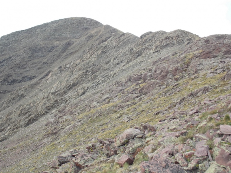
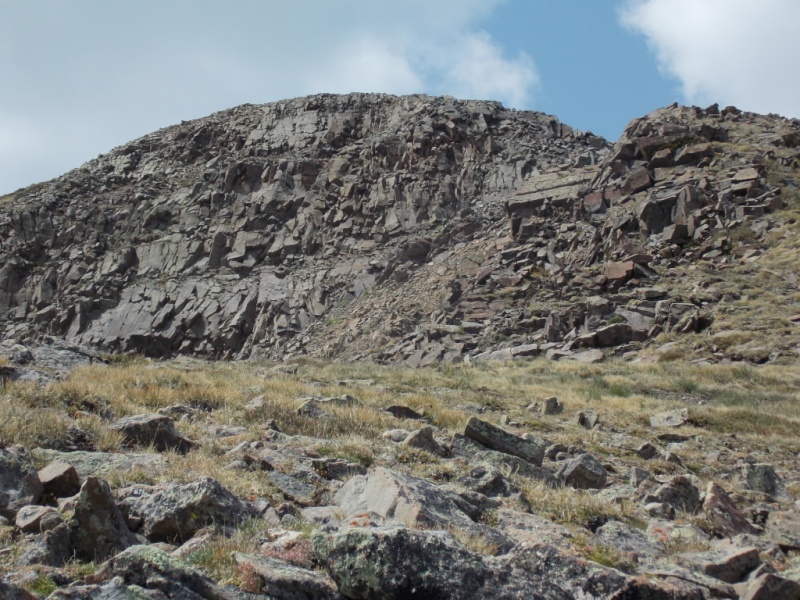
False summit
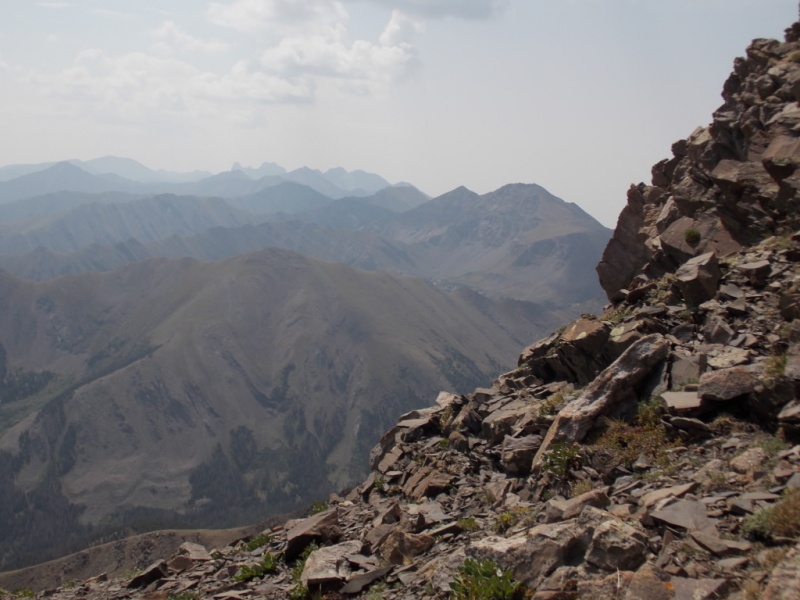
Taken from the false summit - the rest of the route.
Hazy views of the Crestones
Not much farther...
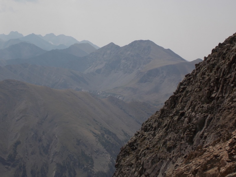
More haze just short of the top.
Summit views...
And a 360 vid from the summit
I decided to take the standard route down as I had no desire to go back through bushwhack hell. My only concern was that I might start down too soon of the ridge and miss the trail. But I made the trail without any real problem. And I can say with certification that the bushwack up to the ridge on the standard route is easier - MUCH easier - than the route I took.
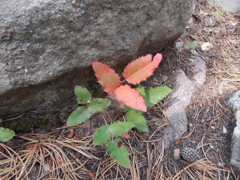
And one should always end a TR with a wildflower or two...
OK - I know it's not a flower but it looked pretty.
As I don't carry a GPS, the is an approximation of my route up and down.
Thanks for taking the time to read this and please be careful out there!
Thumbnails for uploaded photos (click to open slideshow):
Gotta love those nasty Sangre plants, eh? Especially late season in a dry year the scrub oak probably felt more like running a gauntlet of demons, claws and spikes and all!
Ben - I was honestlu surprised to see the scrub oak at 9500 feet. I wasn't aware they grew at that elevation. I have some in my yard at 6500 feet (and they are a pain down here as well!)
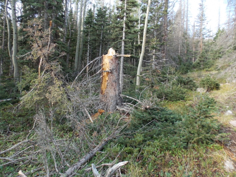
Doug - Yeah - cardio for sure. And some skinned up shins from crawling over the deadfall... Thanks for the compliment on my tree photo.
Kristen - LOL! I think it's a fine line between character building and stubbornness and I seem to have more than my share of the latter!
Judd - I love loops, too. Maybe not this one necessarily but loops are good.
Joel - You took the words right out of my brain.
All - Thanks for taking the time to comment - I sincerely appreciate it.
I'm hoping to get Spread Eagle soon. Thanks for your report. I don't want to miss the crossing. I will be aware, thanks for your heads up on the alternative.
There is a cairn more or less in the middle of the trail as the trail heads sorta SW towards the creek. There is another trail also goes off to the right at that spot. I went right but should have gone straight around the cairn. Don't have a picture but keep that in your mind and I think you'll be fine. The bushwhack up to the PROPER ridge is steepish but not all that bad. Good luck and please let me know how it works out for you.
Caution: The information contained in this report may not be accurate and should not be the only resource used in preparation for your climb. Failure to have the necessary experience, physical conditioning, supplies or equipment can result in injury or death. 14ers.com and the author(s) of this report provide no warranties, either express or implied, that the information provided is accurate or reliable. By using the information provided, you agree to indemnify and hold harmless 14ers.com and the report author(s) with respect to any claims and demands against them, including any attorney fees and expenses. Please read the 14ers.com Safety and Disclaimer pages for more information.
Please respect private property: 14ers.com supports the rights of private landowners to determine how and by whom their land will be used. In Colorado, it is your responsibility to determine if land is private and to obtain the appropriate permission before entering the property.


")
")
")
")
")
")
")
")
")
")
")
")
")
")
")
")
")
")
")
")
")
")
")
")
")
")
")
")
")


