Download Agreement, Release, and Acknowledgement of Risk:
You (the person requesting this file download) fully understand mountain climbing ("Activity") involves risks and dangers of serious bodily injury, including permanent disability, paralysis, and death ("Risks") and you fully accept and assume all such risks and all responsibility for losses, costs, and damages you incur as a result of your participation in this Activity.
You acknowledge that information in the file you have chosen to download may not be accurate and may contain errors. You agree to assume all risks when using this information and agree to release and discharge 14ers.com, 14ers Inc. and the author(s) of such information (collectively, the "Released Parties").
You hereby discharge the Released Parties from all damages, actions, claims and liabilities of any nature, specifically including, but not limited to, damages, actions, claims and liabilities arising from or related to the negligence of the Released Parties. You further agree to indemnify, hold harmless and defend 14ers.com, 14ers Inc. and each of the other Released Parties from and against any loss, damage, liability and expense, including costs and attorney fees, incurred by 14ers.com, 14ers Inc. or any of the other Released Parties as a result of you using information provided on the 14ers.com or 14ers Inc. websites.
You have read this agreement, fully understand its terms and intend it to be a complete and unconditional release of all liability to the greatest extent allowed by law and agree that if any portion of this agreement is held to be invalid the balance, notwithstanding, shall continue in full force and effect.
By clicking "OK" you agree to these terms. If you DO NOT agree, click "Cancel"...
Having hiked Greyrock Mountain the day before, my daughter and I had planned on driving and hour and a half to hike St. Vrain Mountain from the trailhead near Allenspark while her husband was at work in Cheyenne. Turns out he didn't have to report for work on Wednesday and since he wanted to join us for the hike I made a last minute executive decision to do something closer to Estes Park. My daughter and my son-in-law have never been Estes Park and I figured it would be a great place to hang out after the hike. I wasn't even considering Longs since it was going to be my son-in-law's first time to hike something like this, so I decided that Estes Cone would be perfect. Jay Dahl (Jay521) had recommended this hike when I asked him for suggestions a couple weeks earlier and I knew he had a lot of great input...so thanks again, Jay!!
I picked up my daughter and son-in-law at his house in Wellington at about 7 am and we made the hour and a half drive to Estes Park and then took CO 7 to the Lily Lake Trailhead just south of the town. We parked the car just off the road and started towards Estes Cone via the Storm Pass Trail right at 8:45 am.
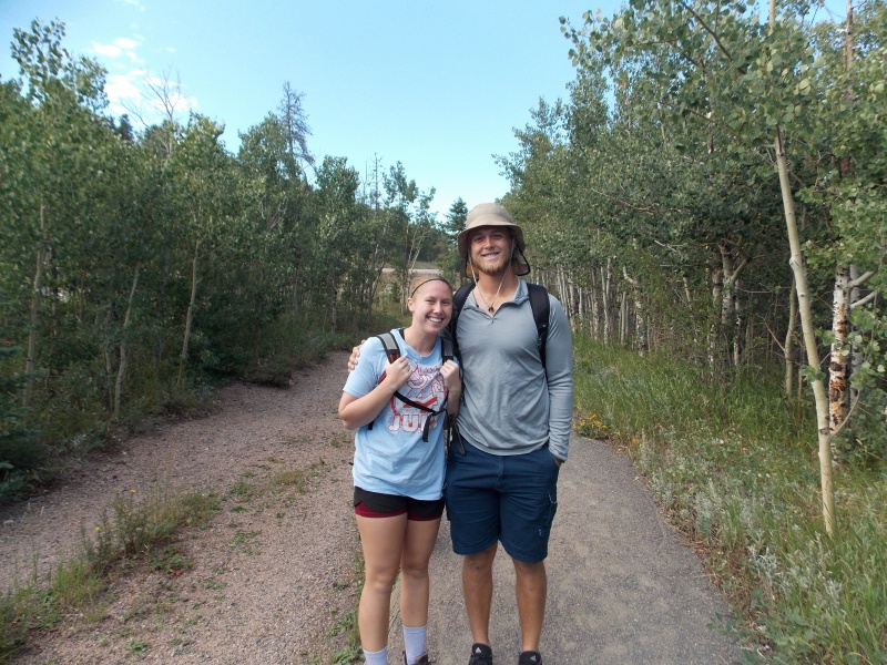
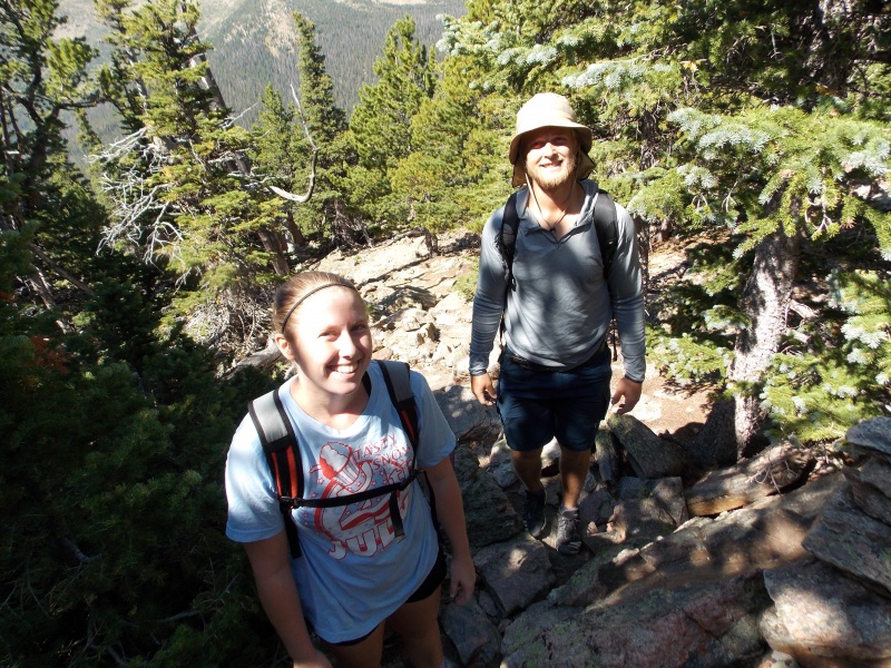
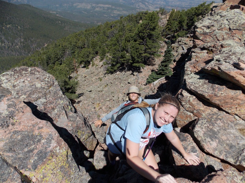
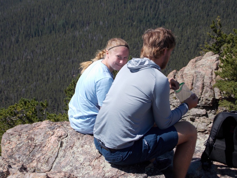
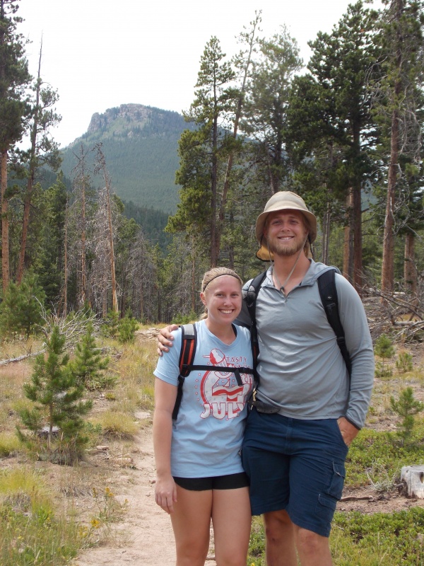
My daughter and her husband ready to tackle the mountain!
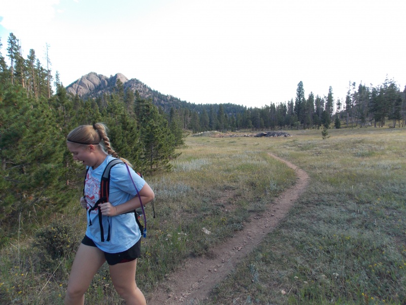
Nice trail at the very beginning of the hike
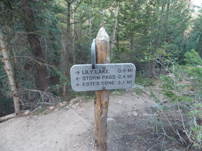
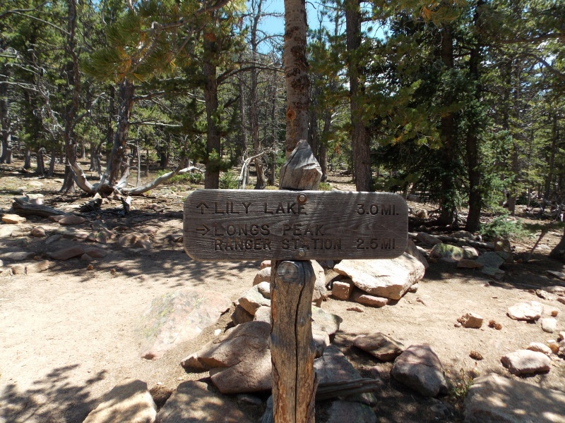
The sign just before you enter the forest
Looking back to the north and the lake area on the other side of the trees
Another sign just as you start to ascend. I believe there is an intersection with another trail here that goes on to private property adjacent to the trail
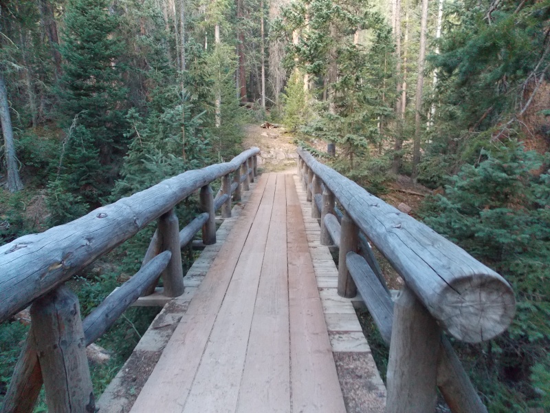
Beautiful bridge you cross early in the hike. I assume there are also businesses that have guided horse rides on this trail because we saw tons of horse turds
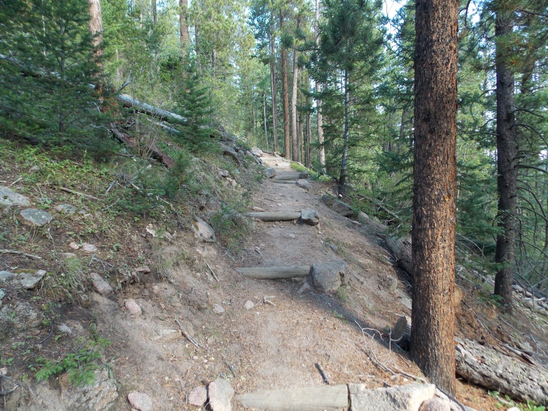
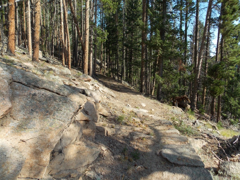
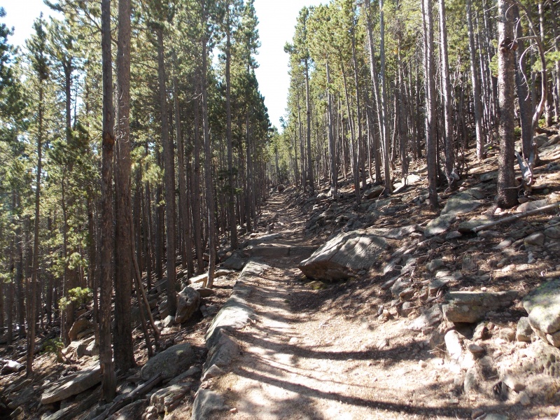
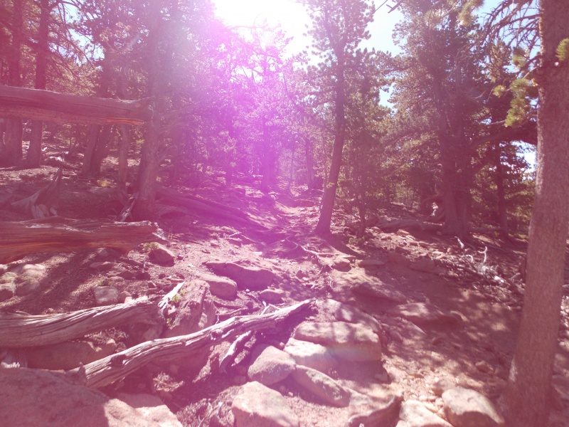
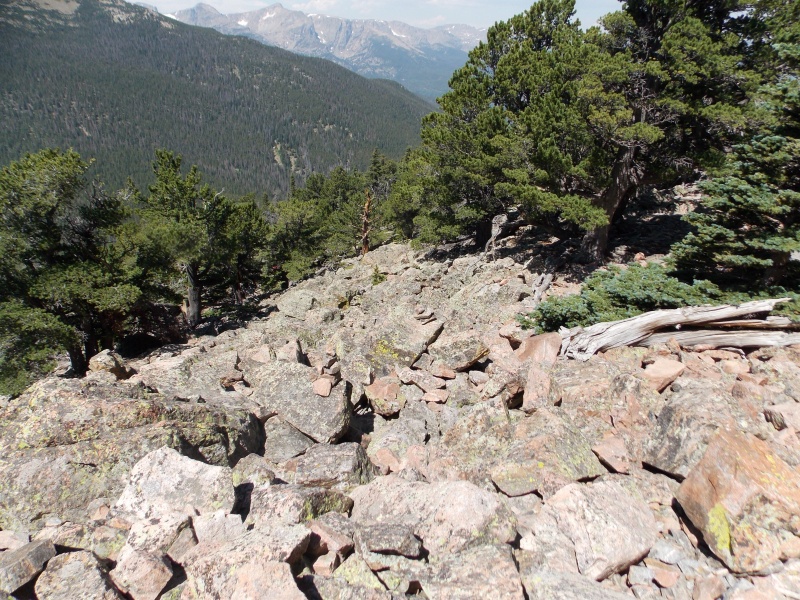
A lot of the trail is just like this, stair steps going up. A very well maintained and defined trail for about 90% of the hike
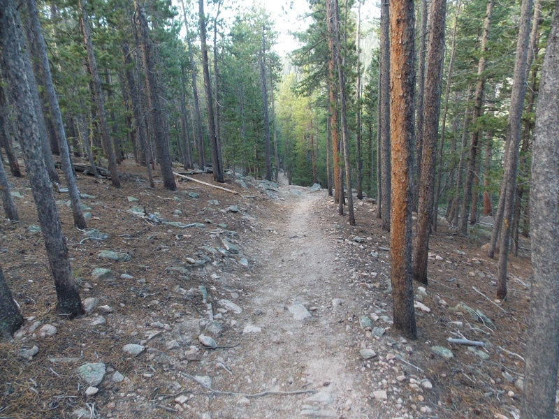
More typical trail conditions
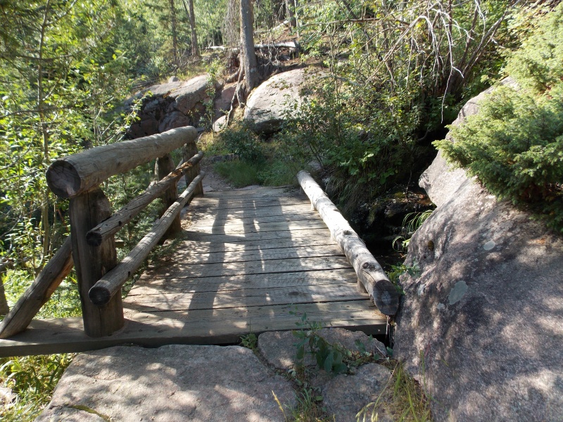
A couple of short bridges that went over a small creek that was barely more than a trickle when we passed through
More fantastic trail
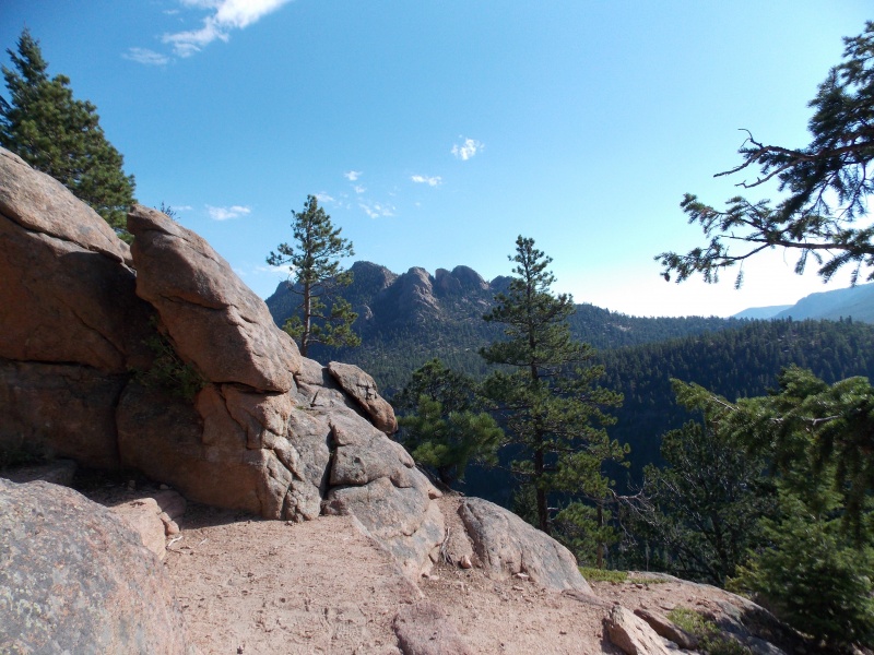
Looking over to the north from a small clearing. The peaks in the background are the rocky gendarmes that overlook Lily Lake
More great stair steps along the way!
Slow and steady we ascend. The trail never gets very steep until the last 3/4 of a mile
Longs Peak begins to become more visible as we get closer to Storm Pass
Another sunny shot looking up at a rockier portion of the trail
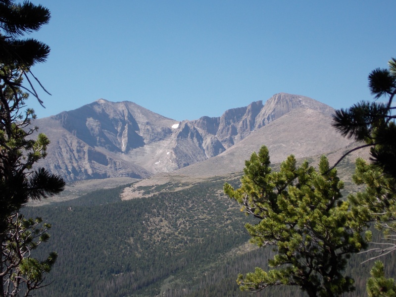
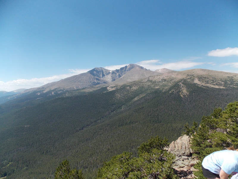
Longs and Meeker looking impressive
This sign is at Storm Pass. This is where you turn north and start ascending Estes Cone. The trail becomes significantly more rocky, vague in places and difficult from here on
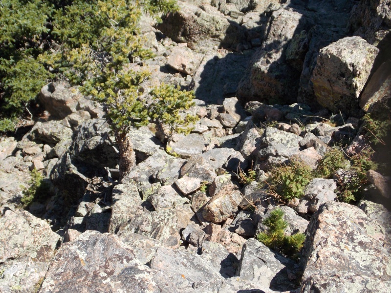
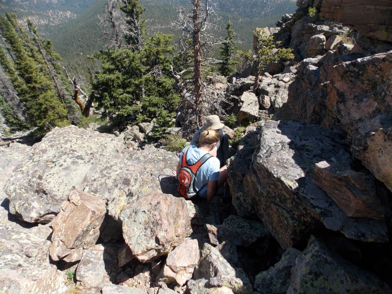
On the rougher portion of the hike at about 10,000 feet or so. A lot rockier and rougher
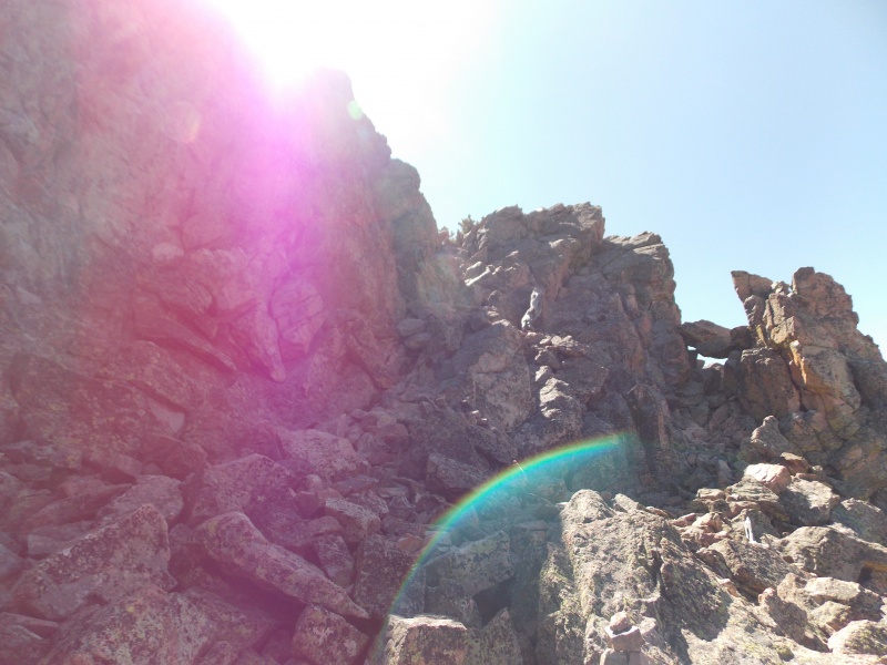
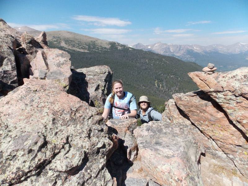
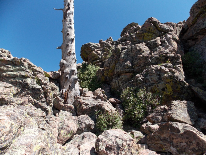
Once you get close to 10, 800 the trail kind of faded out and you pretty much look at the rock and decide a line that looks feasible. There is some minor exposure and plenty of opportunity to practice some easy class 3 maneuvers to ascend a thousand different ways to the top of Estes Cone.
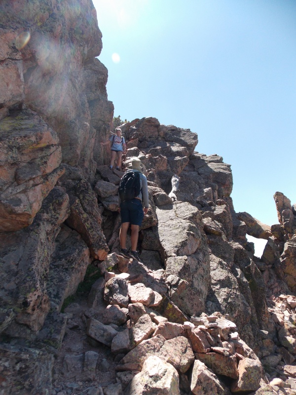
We ascended this short class 3 section in the middle of the picture....not too hard, but enough exposure and route finding to give us a bit of good experience and practice
Climbing up the short class 3 chimney we picked
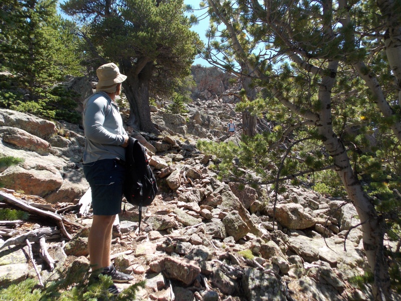
There are probably plenty of easier ways up to the summit than the route we chose
Looking down another steep, short gully that we chose to ascend. Definitely used hands to help us go up here, as well in a couple of other parts of the final push
More steep, but solid slope on our ascent
Coming up out of the top of the next to last steep gully to just below the summit
The last little push to the top. Lots of fun on this ascent....with a lot of options and skill levels to choose from, all depending on your comfort level
We made the summit just shy of 11:30 am, for an ascent time just short of 3 hours. We enjoyed the summit for nearly an hour, taking in a nice cool breeze and just taking in the amazing vantage point we had of Longs Peak. The skies were still pretty hazy due to the fires in the western side of the state, but they didn't seem nearly as bad as they were the day before when my daughter and I hiked to the summit of Greyrock Mountain.
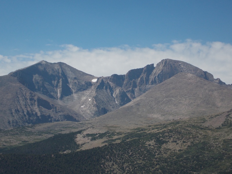
The Longs Massif from the summit of Estes Cone...a gorgeous mountain
Time to eat and enjoy the views.
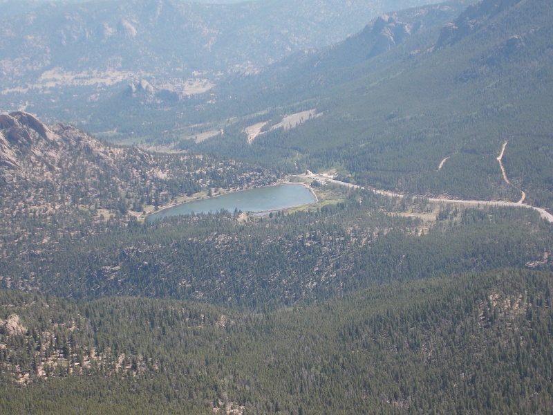
Looking down at Lily Lake from the summit
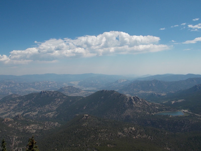
Looking down over Estes Park from the summit
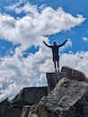
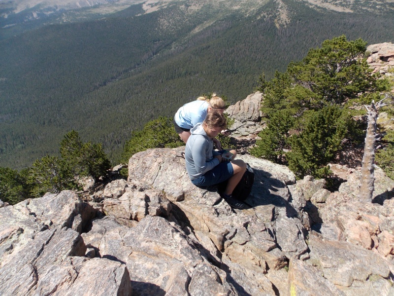
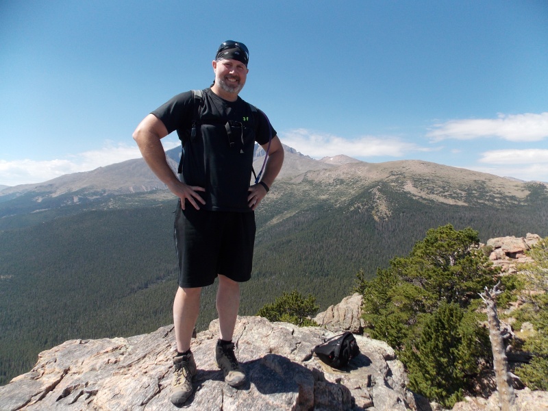
Summit picture
And our group summit shot. There were two other gentlemen at the top before us and were fun to visit with and kindly volunteered to take our picture
Looking East from the summit. The summit is basically a rocky, rugged ridge of solid rock
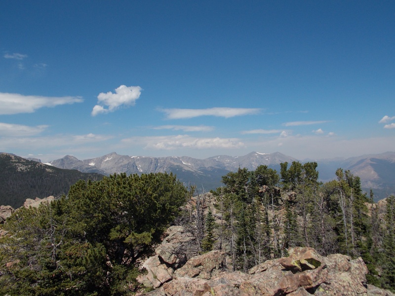
Awe inspiring view of Longs, Meeker and Lady Washington
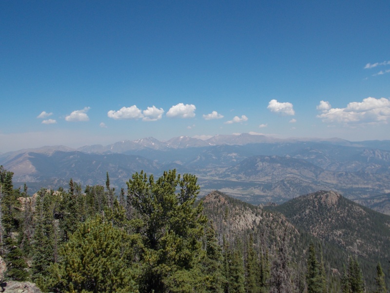
Looking at the 13ers of the Mummy Range
And more RMNP 13ers
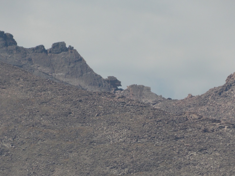
Zoomed in on the Keyhole
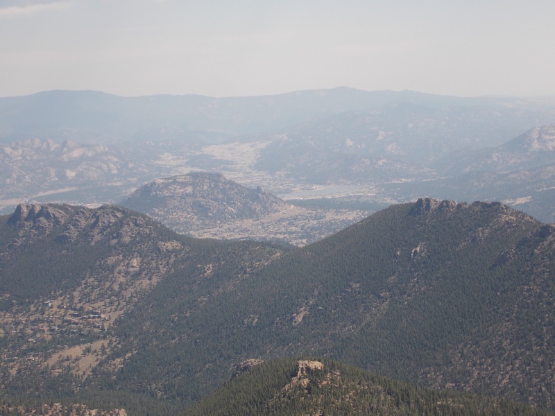
Another summit shot of Lily Lake and over Estes Park
Smiles
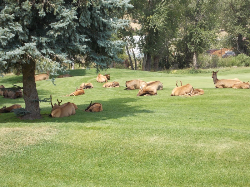
The descent was uneventful and we made it back to the car at Lily Lake right around 2 pm. A roundtrip time of right around 5 hours including time at the summit. We headed back to town and enjoyed another day of soaking our feet and rinsing off the sweat in the river and then enjoyed dinner and hanging out in town. Ed's Cantina is a great place to have a post hike dinner. We enjoyed watching elk hanging out on the golf course, did a little shopping and then headed back to Wellington around 6 pm
Downclimbing one of the chimneys we ascended
A little extra caution in places due to steepness, exposure and rocky terrain
Rocky terrain on the descent
The lovebirds with their accomplishment in the background
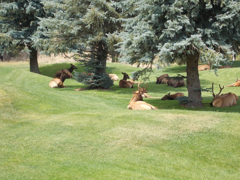
Elk chilling at the golf course in town
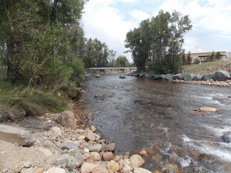
I love the Big Thompson Riverwalk
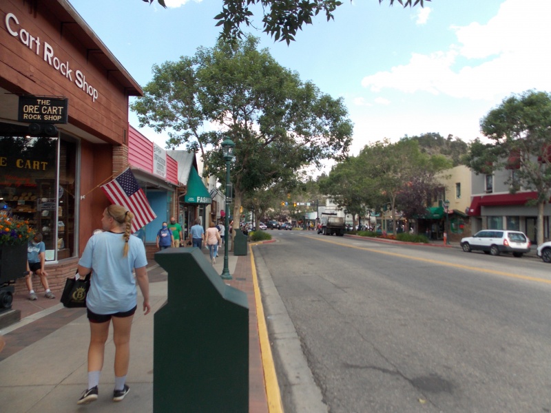
Estes Park, one of my favorite Colorado towns to visit and stay
Big Thompson River
More elk
My thoughts and insights for this hike: This is another diamond in the rough for folks that want more seclusion than what the 14ers provide today. We came across one other person on the ascent, two people that were already on the summit when we got there and 5 or 6 more people that were ascending when we were descending. I had anticipated a busier trail with it being so close to town. We hiked on a day that it was unseasonably hot, upper 80s in town and pretty warm as long as we were in the forest, which is most of the hike....so take plenty of fluids, there isn't any reliable water source along this trail during the summer months. There are about a million ways to get to the actual summit, and a plethora of different skill sets can be utilized. We chose some nice little short class 3 chimneys and gullies near the top that gave us a chance to use all fours for stability and balance as well as a lot of careful route finding at places. The summit is pretty rocky and there are some exposed spots, but really isn't bad and you don't have to feel the exposure if you don't want to. The summit views are amazing. The view of Longs and it's sister 13ers are nothing short of breathtaking. The roundtrip is just shy of 8 miles and the bulk of the hike is really good, well defined trail. Once you get to Storm Pass you turn to the hiker's right and start ascending the steeper, rockier and more difficult final 3/4 of a mile, where you gain almost 800 ft . Thanks again to Jay521 for suggesting this hike, it was fun and it gave me, my daughter and her husband a chance to hang out and enjoy town afterwards.
Thumbnails for uploaded photos (click to open slideshow):
A very well documented report, Travis. I'm glad your son-in-law was able to join you - musta been fun for him. And you certainly have a steadier hand than I do to be able to zoom on the keyhole like you did!
I've done "the cone" several times and your experience mirrors mine.
I too like doing it from Lily Lake (at least there you can park at the
trail head at 6:00am; from the Longs Peak trail head is a different
story). Some might think it's too much of a walk in the woods,
but some nice views of Twin Sisters and Longs/Meeker do
present themselves along the way as your pictures show. And
as you say there's a fun scramble at the top (which I don't think
I've ever done the same way twice). Anyway you've done a great
job of describing the hike through your pics and narrative (I'm
with Jay on the keyhole shot...nice going). Thanks for posting.
One of my favorite winter time hikes as well. Easy to access, not too many people, good for training. Saw nobody when I did it in February. Not one you see much on this site but a gem in its own right.
Jay-I'm glad Sam was able to go too. He thoroughly enjoyed it and now wants to get a 14er under his belt!! He's hooked. That shot of the Keyhole turned out a lot better than I had anticipated. I put my camera on the action/sports setting and zoomed way in. That camera, for an inexpensive Nikon Coolpix, has been with me for all but three of my 14ers and all my other hikes.
mathguy-Thanks for the positive feedback. Hopefully it comes in handy for someone that wants great views, but not such a long day as many of the other area peaks require. And I know if I ever do that one again someday I won't be able to ascend the exact same way!
trkl9-I may have to go back and try this one in winter or even late fall...I would love to go to Estes Park in the fall!
Caution: The information contained in this report may not be accurate and should not be the only resource used in preparation for your climb. Failure to have the necessary experience, physical conditioning, supplies or equipment can result in injury or death. 14ers.com and the author(s) of this report provide no warranties, either express or implied, that the information provided is accurate or reliable. By using the information provided, you agree to indemnify and hold harmless 14ers.com and the report author(s) with respect to any claims and demands against them, including any attorney fees and expenses. Please read the 14ers.com Safety and Disclaimer pages for more information.
Please respect private property: 14ers.com supports the rights of private landowners to determine how and by whom their land will be used. In Colorado, it is your responsibility to determine if land is private and to obtain the appropriate permission before entering the property.


")
")
")
")
")
")
")
")
")
")
")
")
")
")
")
")
")
")
")
")
")
")
")
")
")
")
")
")
")
")
")
")
")
")
")
")
")
")
")
")
")
")
")
")
")
")