| Report Type | Full |
| Peak(s) |
Greyrock Mountain, 7616 ft |
| Date Posted | 08/28/2020 |
| Modified | 01/07/2023 |
| Date Climbed | 08/11/2020 |
| Author | huffy13 |
| A Hot Day in the Laramie Range |
|---|
|
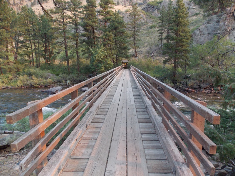
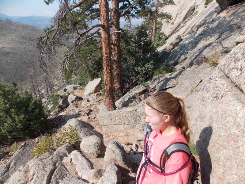
After a year of not being able to make it to the mountains I had a window open up during my 3 week vacation. I scheduled my vacation anticipating taking a trip to Nebraska with my wife and daughter to watch my son-in-law play baseball for an independent league team based in Gering, NE. But he decided to leave the team a little early so he could work with his brothers in Cheyenne installing solar systems and make some money before he headed back to college in Abilene, TX. We were disappointed that we weren't going to get to see my son-in-law play baseball, but my daughter was especially bummed because she hadn't gotten to see her husband for over a month. My wife suggested since I really didn't have anything going on at home for a week that I take my daughter on a road trip to see her husband for a few days and get a couple hikes in with her while he was working during the day. My son-in-law and his brothers were leasing a house in Wellington, CO and I knew any 14ers that I felt comfortable taking my daughter on would be a long drive, so I asked 14ers.com member Jay Dahl (Jay521) of any fun hikes within an hour and a half drive of the Ft. Collins/Wellington area, knowing that he would not lead me astray...and he did not. Gave me a lot of good recommendations. One of the hikes he suggested was Greyrock Mountain, a 7,616 peak just off Poudre Canyon and Poudre River. That one was literally due west and only a 30 minute drive from Wellington. (You can see this particular peak from Wellington if you know where to look.) So we had our plan for our first hike on Tuesday after an 8 hour drive from the Texas Panhandle on Monday and a tentative plan to hike St. Vrain Mountain on Wednesday My son-in-law would leave for Cheyenne right around 7am, so I picked my daughter up at his house at 7 and we took off for the Greyrock Mountain TH. The GPS said it was only a 32 minute drive from Wellington on CO 14 and that was pretty much spot on, we got to the TH right at 7:30, took our selfie and crossed the road to a great bridge over the Poudre River. 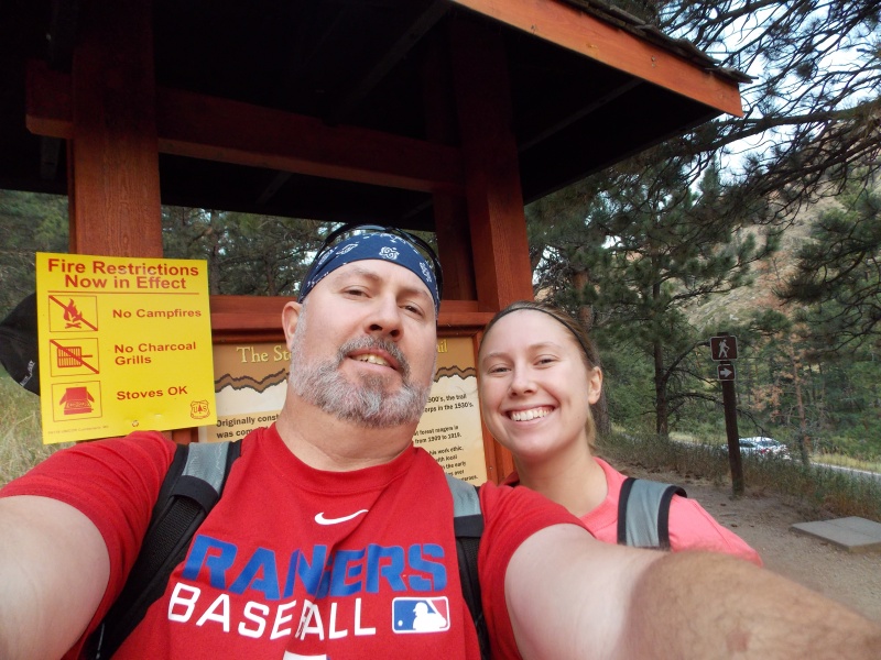
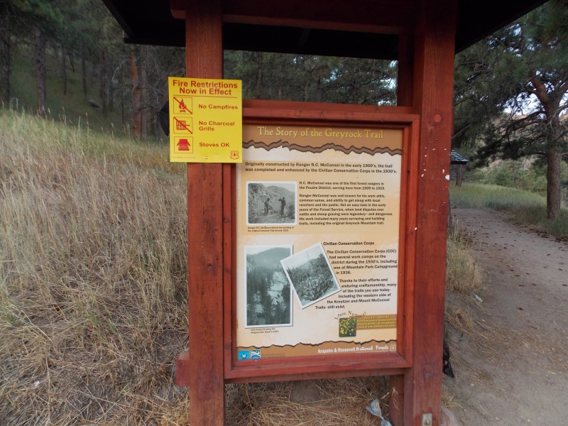
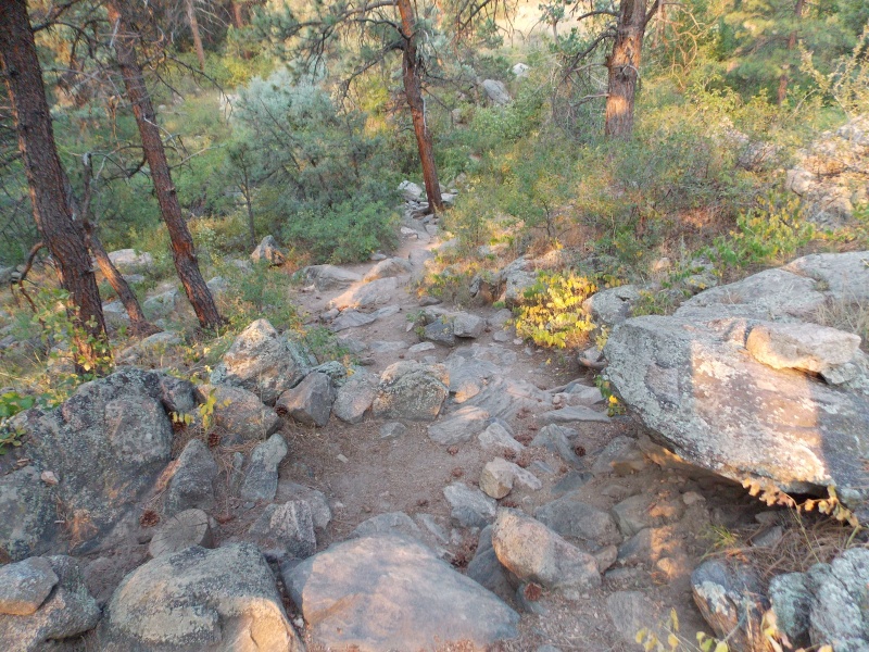
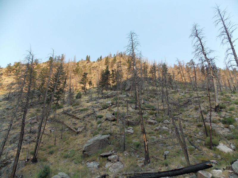
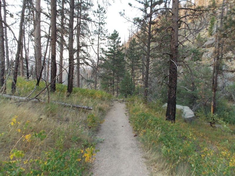
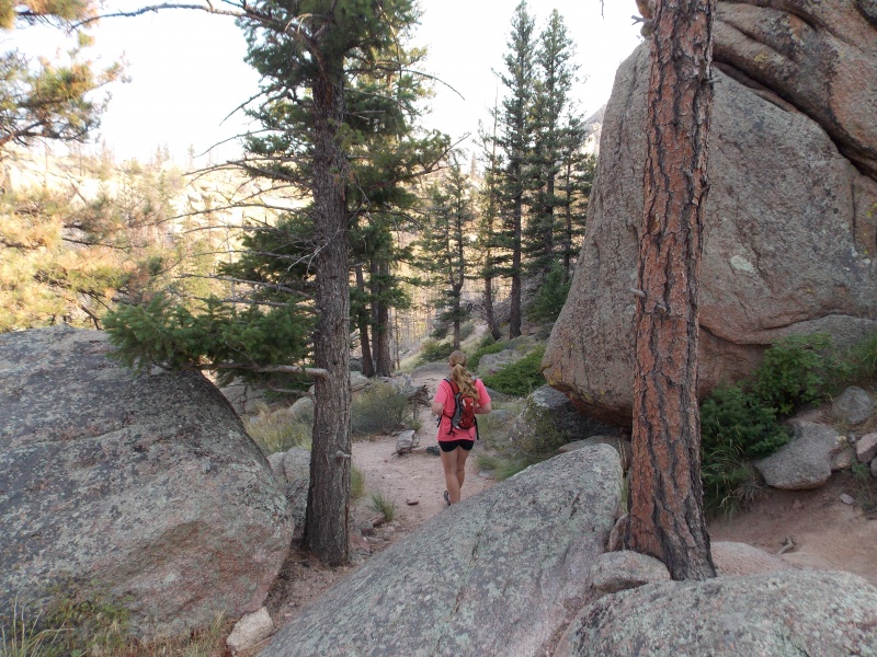
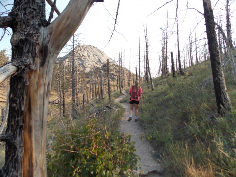
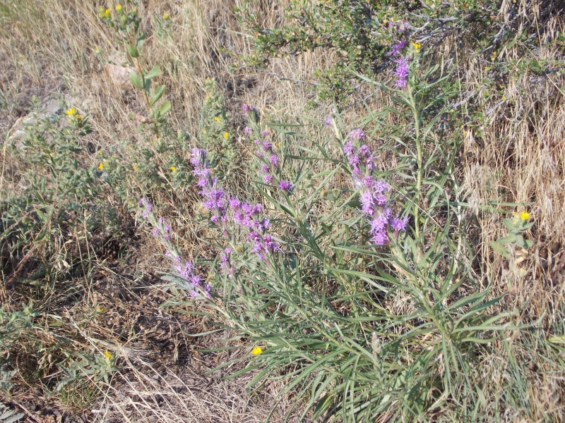
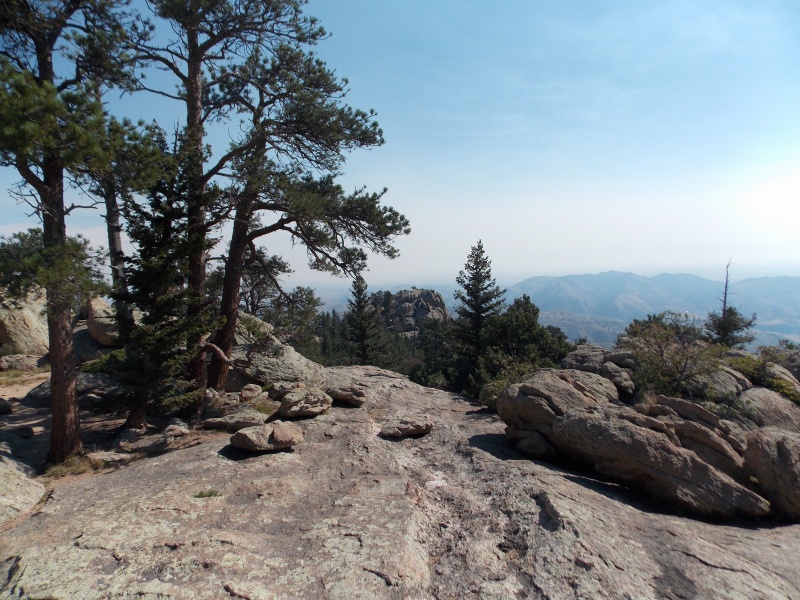
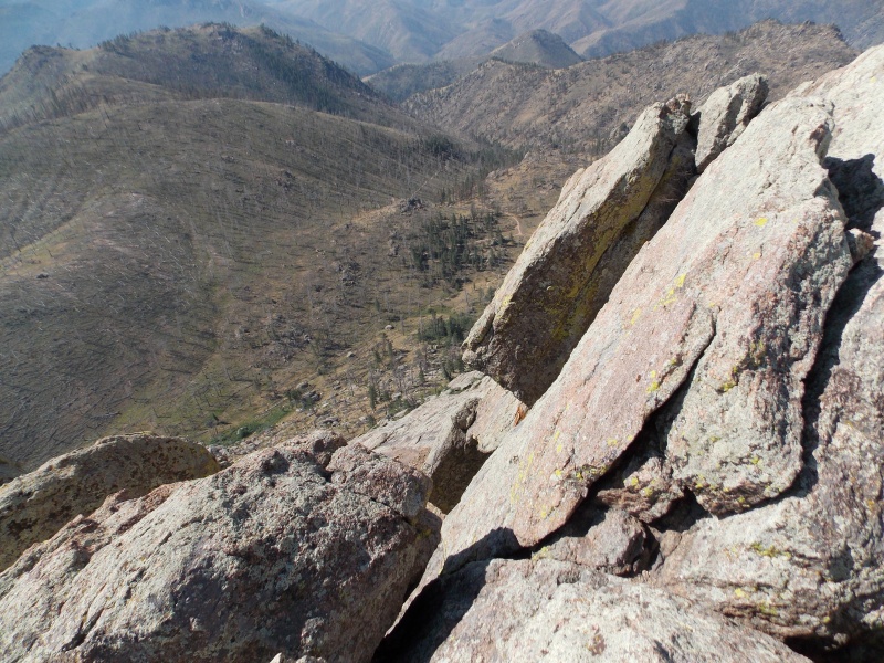
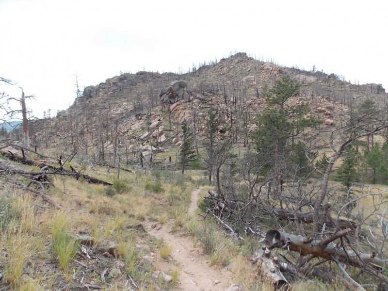
The trail is very well maintained and is very easy to follow until you get just below the peak itself. It was a little narrow in places due to a lot of plant growth all along the trail and there was some patchy poison ivy in several places along the trail. A lot of the trail is in the forested area, but much of the trees were burnt up in the Poudre Canyon fire a couple years ago, at least that was what I ended up finding out later that night. 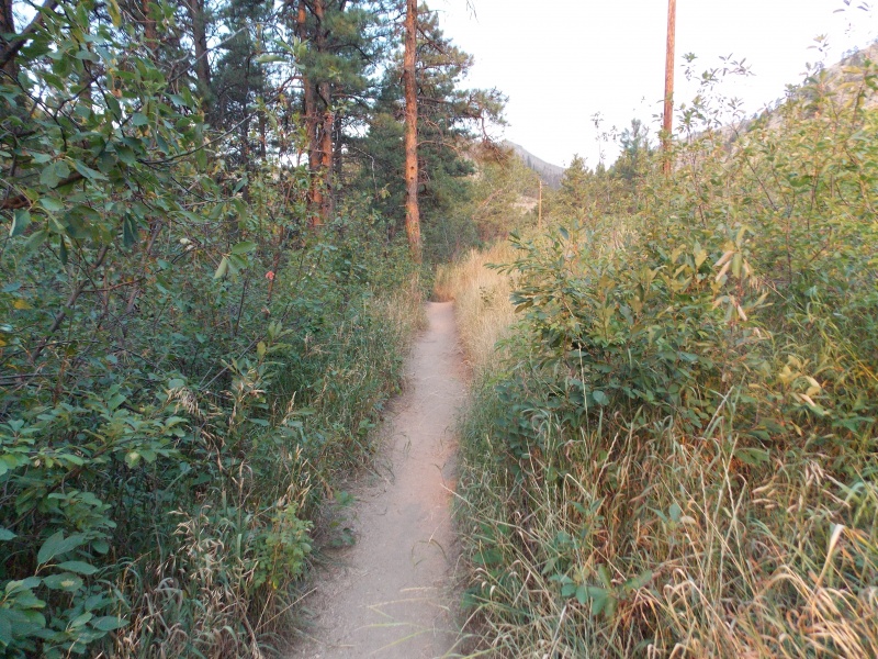
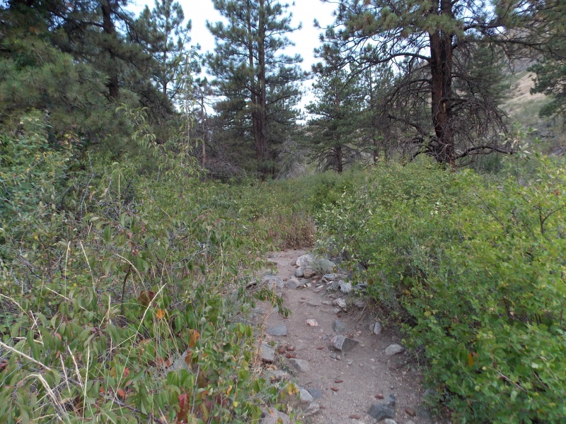
Not too far into the hike there is an intersection, Trail 947 takes you to Greyrock Meadows and 946 takes you more directly to the peak. We chose to ascend via trail 946, it's about a mile shorter. 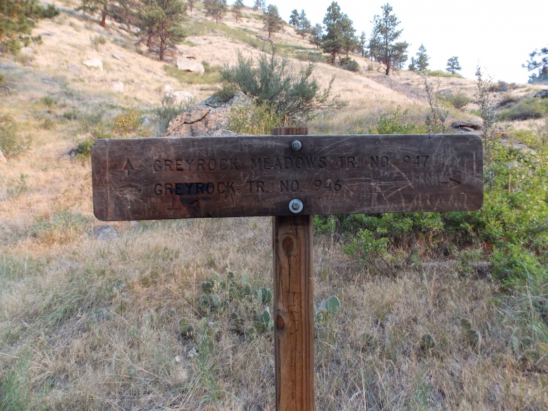
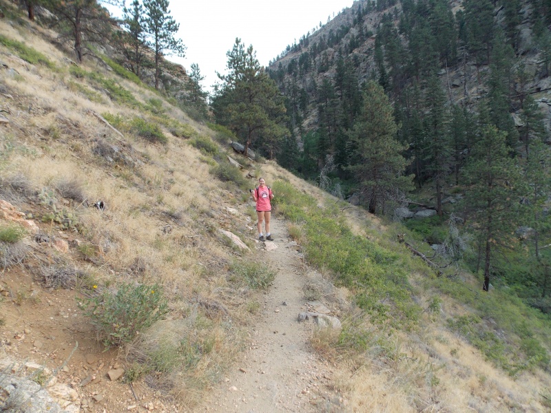

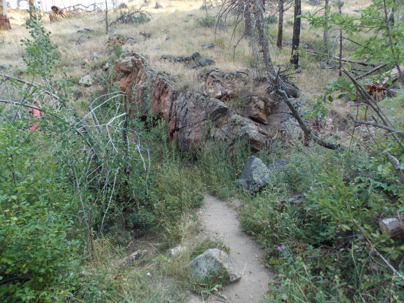
Much of the rock on this hike reminded me of some of the stuff I observed on the ascent of Pikes Peak from Crags Campground, other portions of the hike reminded me a lot of my hike of Sandia Crest in Albuquerque a couple years ago. About an hour into the hike it started to get really warm, there was really no source of water once you cross the river at the start of the hike, so I'm glad we each had 2.5 liters of fluids at the start of our day. 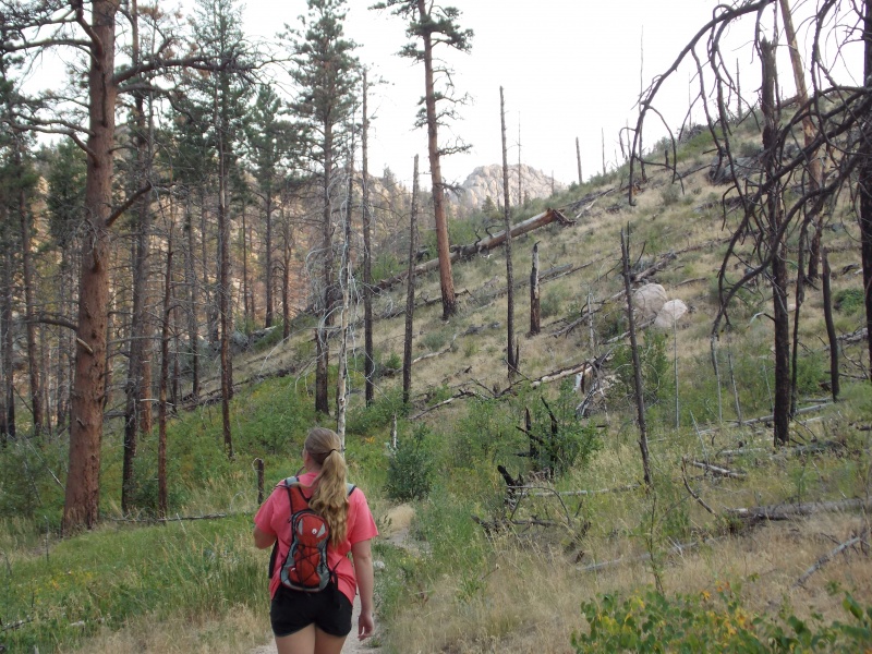
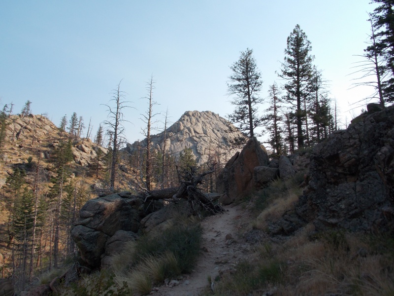
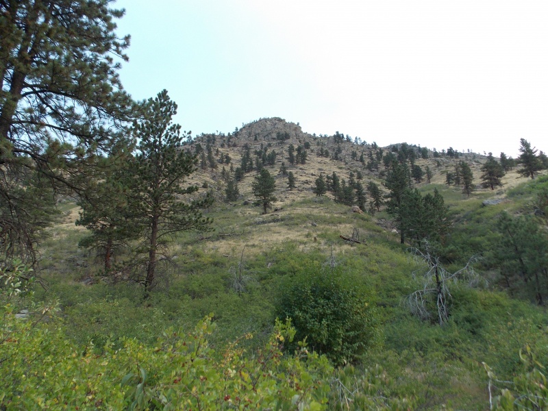
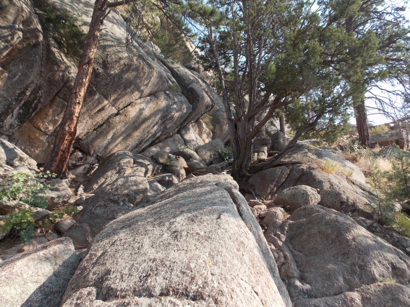
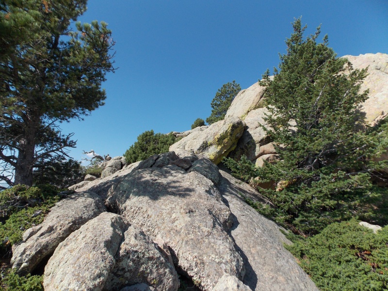
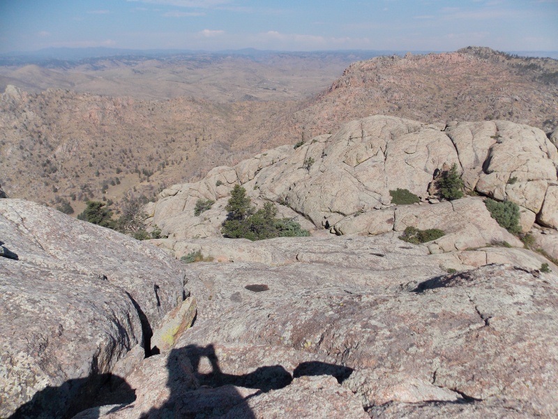
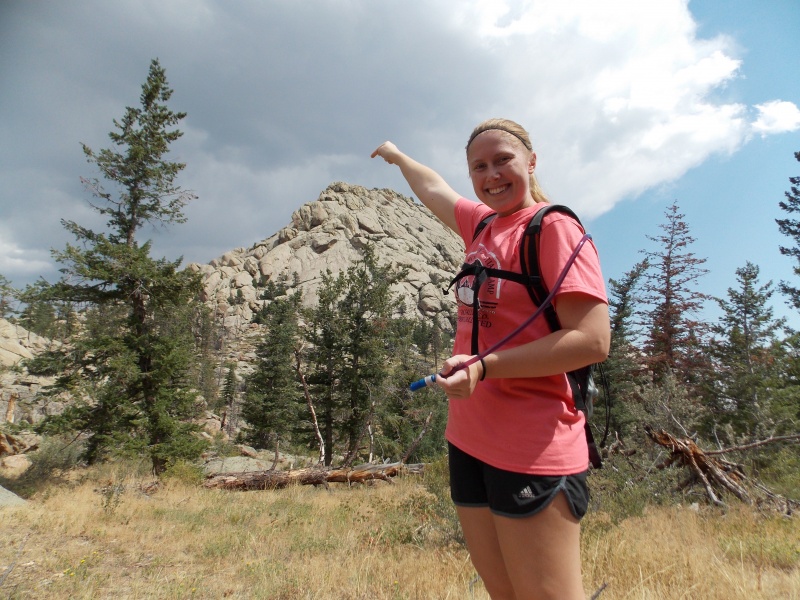
After about an hour and a half we got to the base of the very monolithic formation of Greyrock Mountain. The trail kind of wraps around the base of the mountain to the NE side. I'm sure some people on this site would find some great class 3 or 4 lines to ascend this particular peak. 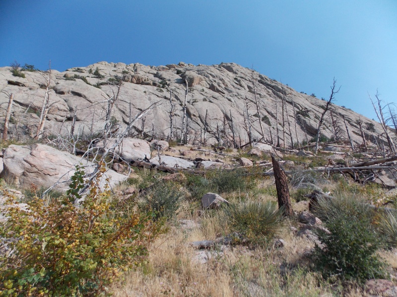
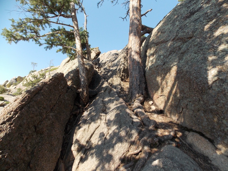
The trail becomes a little harder to follow once you get to the base of the peak. There are some cairns that are helpful and the trail does appear, albeit choppy and broken, until the top 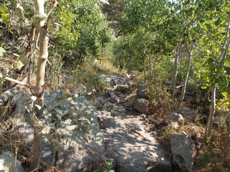
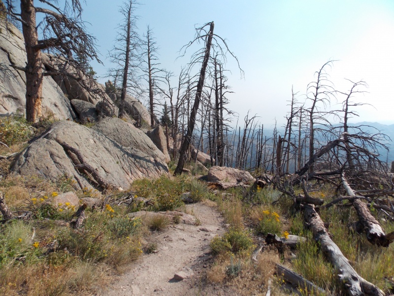
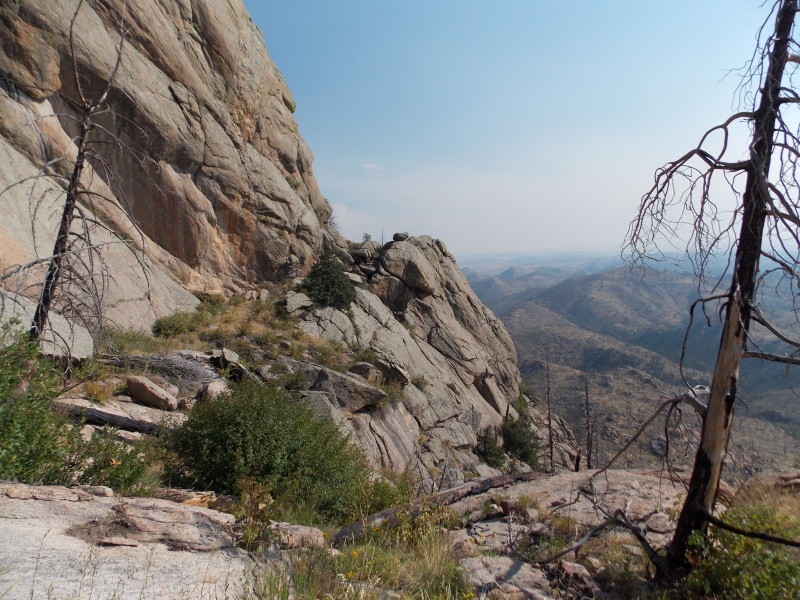
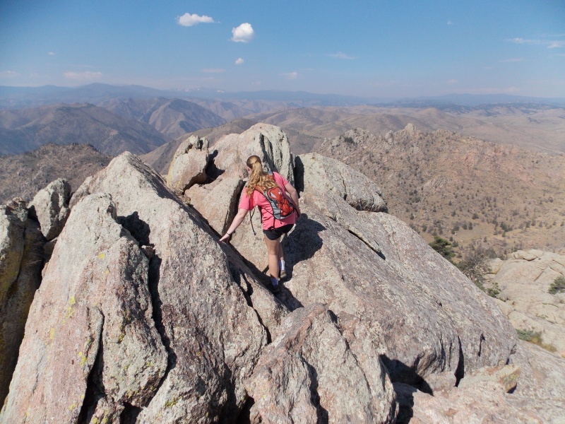
Once we got close to the top we ascended what we thought was the last couple hundred foot to the summit, turns out we were too far east and ended up on the 7400 ft point on the east end of the summit ridge. It is kind of hard to tell because there are actually quite a few trees that block you from being able to get a straight view of the path to the true summit. 
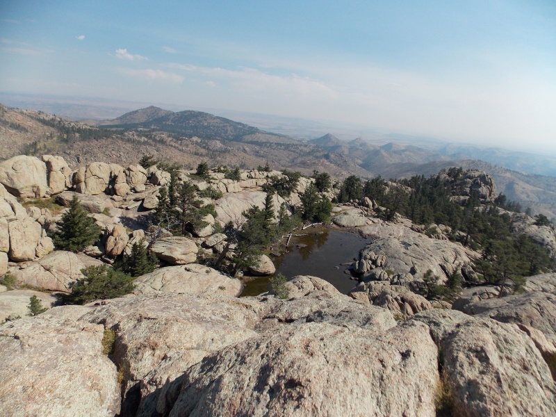
We traversed over back to the west in as straight a line as we could once we realized our mistake. The traverse was pretty straightforward and easy. Just before we got to the last little bit of summit block ascent we came across a small summit "lake"....really more of a pond, but as of mid-August it was probably no more than a foot at its deepest and will probably dry up unless that area starts getting more rain and cools off. 
From the lake we just looked at a line that would wouldn't be too difficult and climbed up. There was about 50 ft of ascent that we had to use all fours to climb, it was pretty fun. 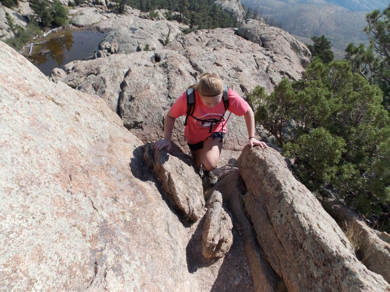
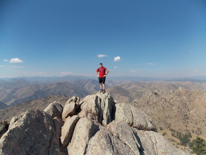
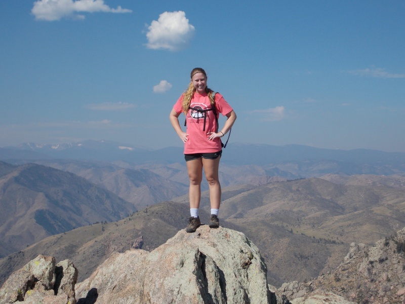
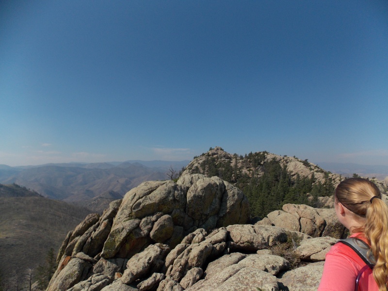
Claire and I stayed on the summit for a little over half an hour, eating some food and getting rest while enjoying the views. We had a good enough signal from the summit that we were able to call my wife to let her know that we made it safely and were about to head back down. It was getting pretty hot now, well into the 80s and we knew it was only going to get hotter as we went down, so we decided it was time to go. Took us about 2.5 hours to get to the top...not super fast, but still not a terrible pace for a couple of flatlanders. 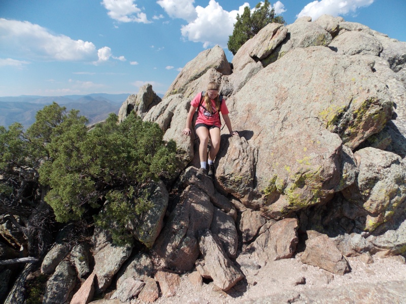
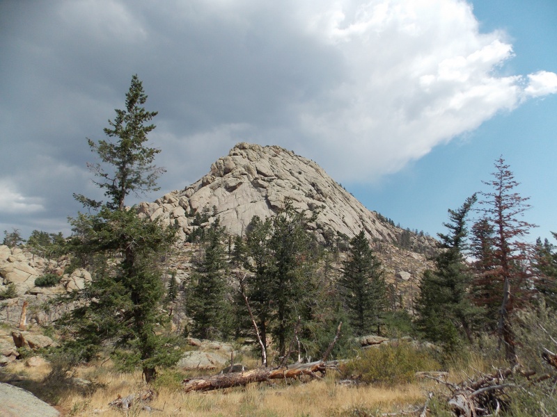
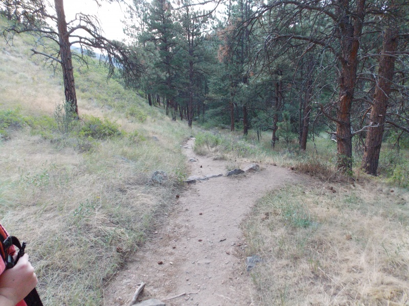
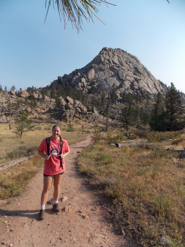
Just before you get to the base of the mountain there is another trail intersection where 946 and 947 meet. We decided to descend via the Greyrock Meadows Trail 947, thinking that this trail would be more gentle...we were wrong. The meadows route required us to re-ascend another couple of ridges before descending. Plus it is about a mile longer going that way. But Claire and I both like doing loop routes when possible, so it didn't bother us too much. Plus the peak looks very impressive from the meadows on the west end of the peak. 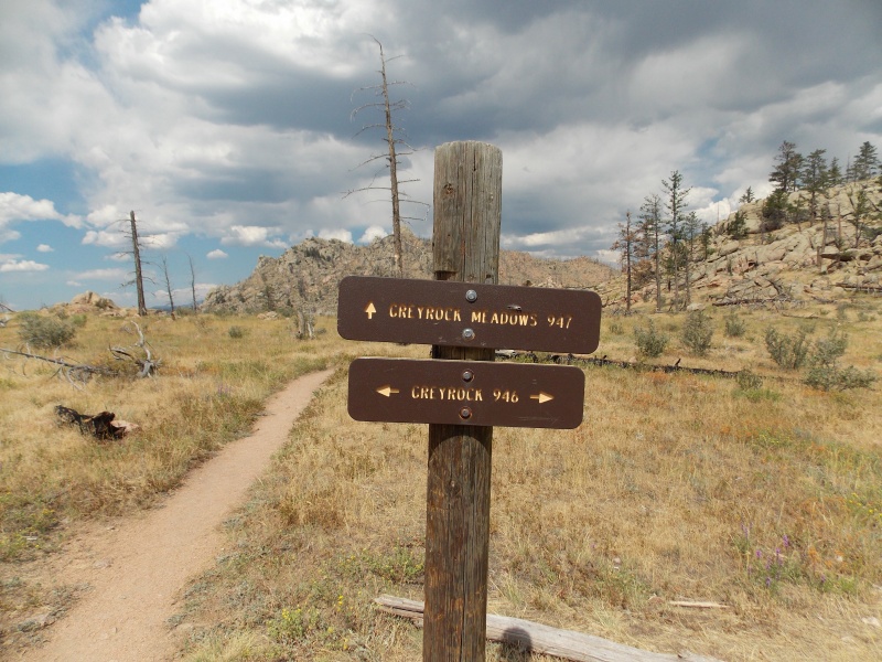
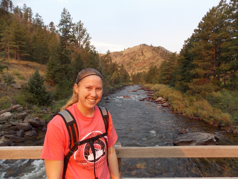
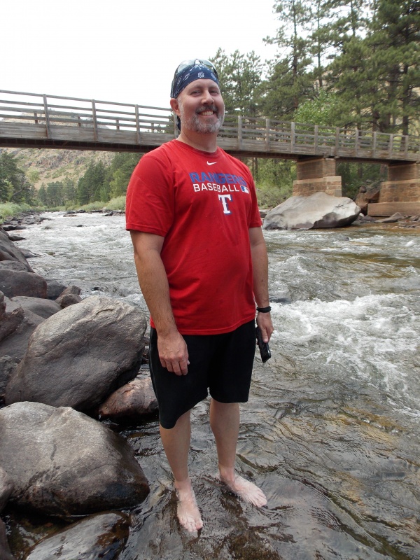
We got back to the river right around noon or so and decided that we wanted to enjoy the river for a bit since her husband wasn't going to be home from work for several more hours, plus we wanted to rinse of the salt and sweat that had built up on us due to the heat. The cold water was very therapeutic. 
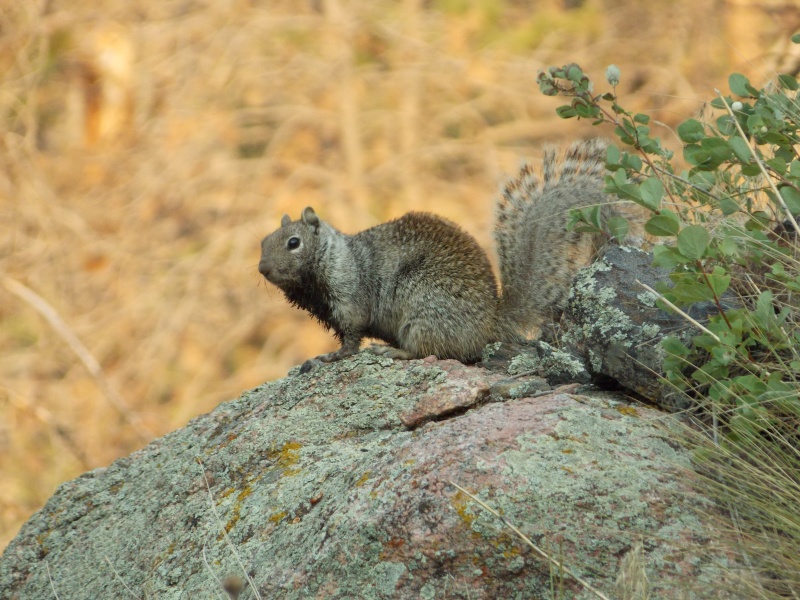
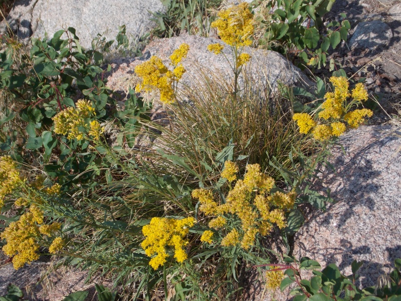
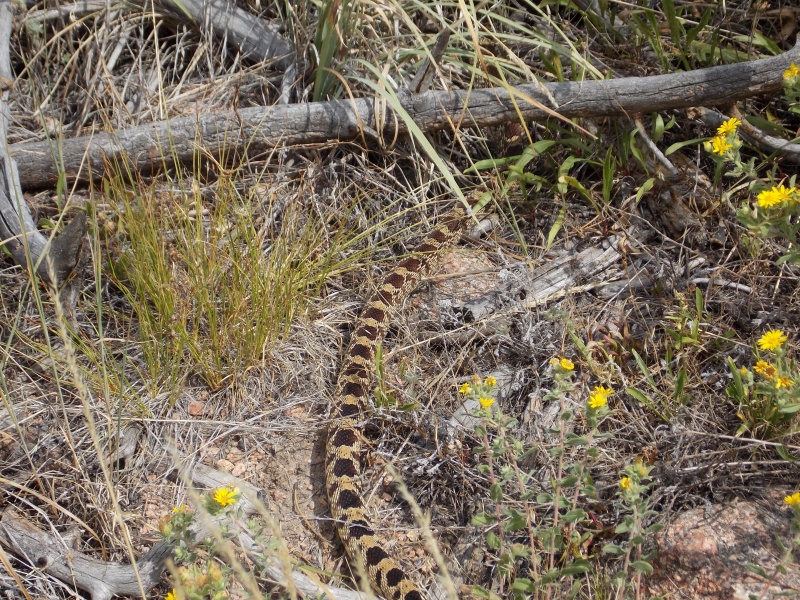
Overall, the hike, ascending the Greyrock Trail and descending the Greyrock Meadows route gave us about an 8.5 mile roundtrip and a total time of about 5 hours, spending almost 40 minutes of that on the summit. Thoughts on this hike: First off, I want to thank Jay521 for the great suggestion of the peak. It is definitely a unique hike and could be used as a warm up for those wanting to tackle bigger peaks. The day we went was extremely hot, it was well into the 90s by the time we got back to the car, so take plenty of fluids if you are planning to hike this in the summer. We came across about 8-10 other people all day and all of them we encountered onour way down. We had the summit all to ourselves for the entirety....that doesn't happen often, but this particular mountain is probably not on many people's radars too. We didn't see a ton of wildlife, just the snake I almost stepped on, a few squirrels, chipmunks, and plenty of birds. We saw deer on the drive in and out but not during the hike. I'm hoping that the area will start getting some rain so the vegetation will start bouncing back. Overall I would say that 90% of this hike is good for just about any age or skill level. Once you start on the summit block however, there are a few sections that could give some folks pause....nothing death-defying, but there are opportunities for ascending routes that could give you a little exposure. The trailhead is on CO 14 in Poudre Canyon, which is paved, but you do have to cross the road to start the hike, so be careful. We did see more than a few cars travelling at a pretty high rate of speed. Thumbnails for uploaded photos (click to open slideshow): ")
")
")
")
")
")
")
")
")
")
")
")
")
")
")
")
")
")
")
")
")
")
")
")
")
")
")
")
")
")
")
")
")
")
")
")
")
")
")
")
")
")
")
")
")
")
")
")
")
")
|
| Comments or Questions | |||||||||
|---|---|---|---|---|---|---|---|---|---|
|
Caution: The information contained in this report may not be accurate and should not be the only resource used in preparation for your climb. Failure to have the necessary experience, physical conditioning, supplies or equipment can result in injury or death. 14ers.com and the author(s) of this report provide no warranties, either express or implied, that the information provided is accurate or reliable. By using the information provided, you agree to indemnify and hold harmless 14ers.com and the report author(s) with respect to any claims and demands against them, including any attorney fees and expenses. Please read the 14ers.com Safety and Disclaimer pages for more information.
Please respect private property: 14ers.com supports the rights of private landowners to determine how and by whom their land will be used. In Colorado, it is your responsibility to determine if land is private and to obtain the appropriate permission before entering the property.


