| Report Type | Full |
| Peak(s) |
Rito Alto Peak - 13,801 feet Hermit Peak - 13,311 feet |
| Date Posted | 08/17/2020 |
| Modified | 08/18/2020 |
| Date Climbed | 08/15/2020 |
| Author | RJ_Greenhorn24 |
| Solo day on some high altitude bumps |
|---|
|
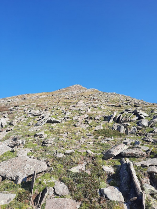
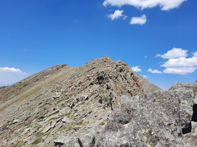
Peaks: Rio Alto Peak & Hermit Peak Time: 7hrs 25 mins (with and hour spent on each summit) Distance: 5.83 miles Camp: Located 2 miles below the pass (see last picture for track info) What a lovely day to brave some high altitude bumps! With a road leading you to 13,000' can these really be counted as peaks? Add in some road hiking and I'd give it a solid "maybe", so forgive my intentional sarcasm throughout this report. I figured I would overload you with pictures and beta since these peaks are so obscure and genuine ;-) On our La Plata hike 2 weeks prior "The dreaded hike" we determined that hiking is NOT my fiance's thing, so I decided to do some solo hiking. He brought his dirt bike and it was a good deal for both of us. So, Friday after work we drove up Hermit Pass as far as our patience could handle in the dark, in a 2wd truck. Just 2 switchbacks below treeline we set up camp (about 2 miles below the pass). I planned to start at 4am so I could take in the sunrise on Rio Alto's summit, but around 2am something came by to scout out our camp. I could only assume it was a cat of some type because it was very sneaky. With that assumption I decided to wait until sunrise to start my hike since this would be my first solo hike and quarantine has me in a shape that I doubt could defeat a mountain lion with my bare hands, as I would have been able to do pre-quarantine. 
SO, at dawn I set out for my lovely road hike that I loved so very much... 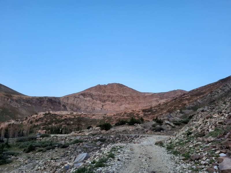


It wasn't until I was at the top of the pass that I saw all the great hiking trails between the switchbacks that would have saved some time and foul words mumbled under my breath on the way up. 


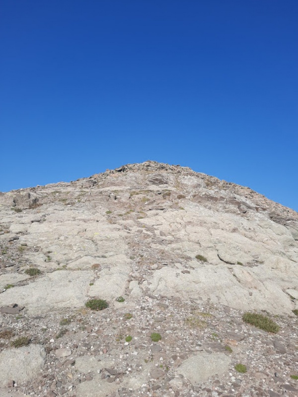


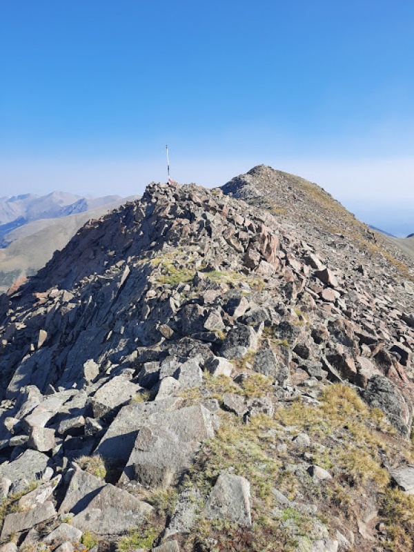 


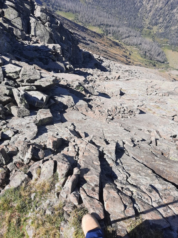
The hike down Rio's ridge line was uneventful and quiet, somehow I managed to not pass a soul all day. Every group I saw was heading up Hermit and I missed every one of them as well! 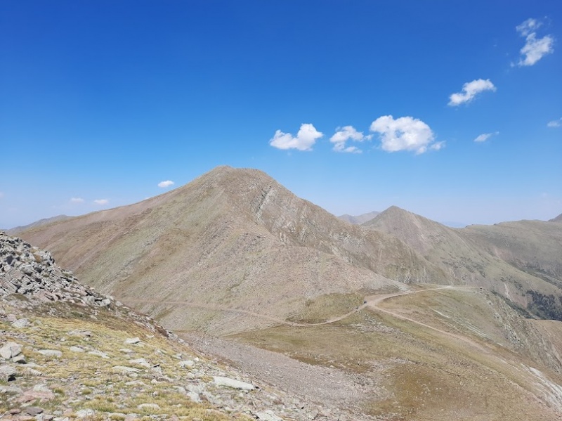
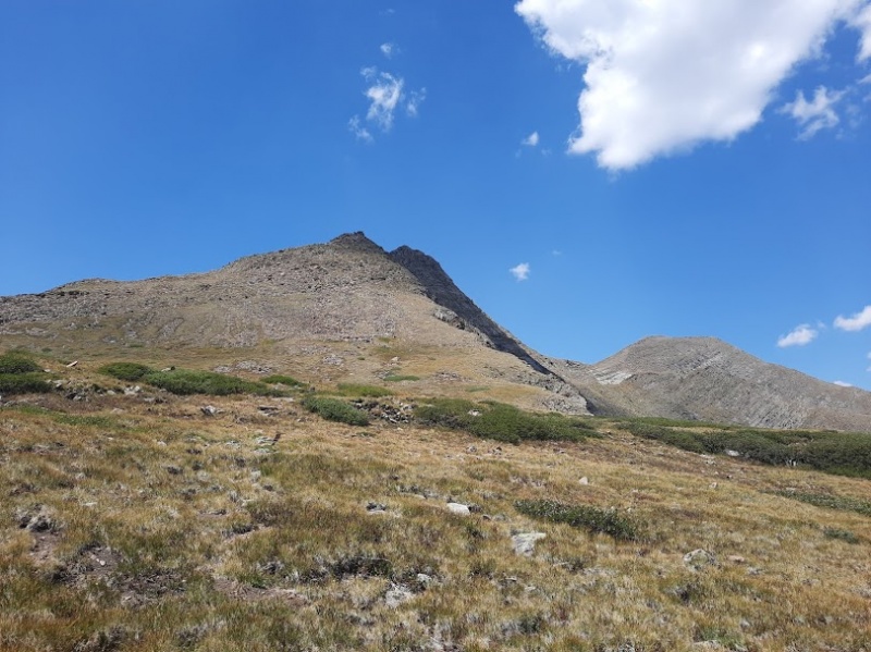
The hike up Hermit was the most uneventful to date, it literally took me 15 minutes from the pass and I'm not sure it should even be considered a true summit. 

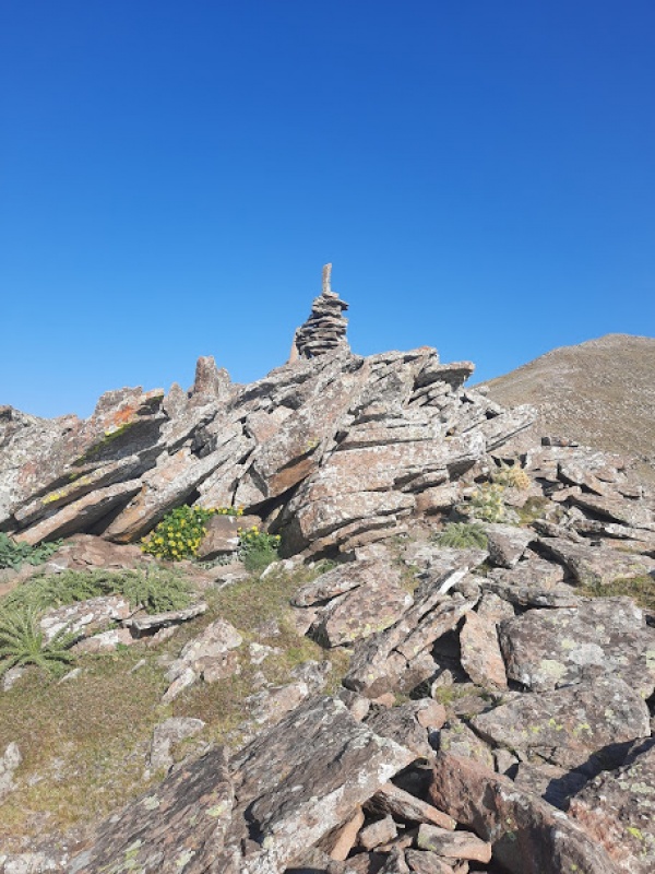
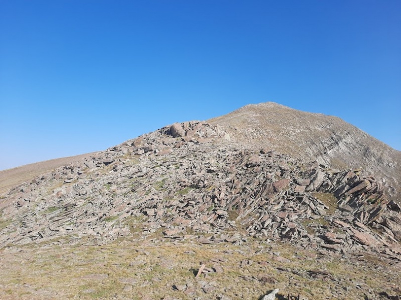
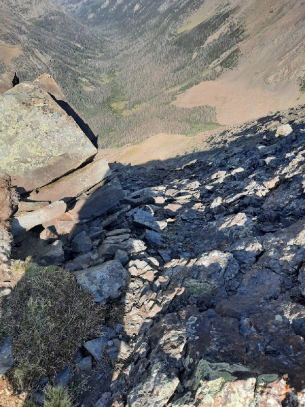
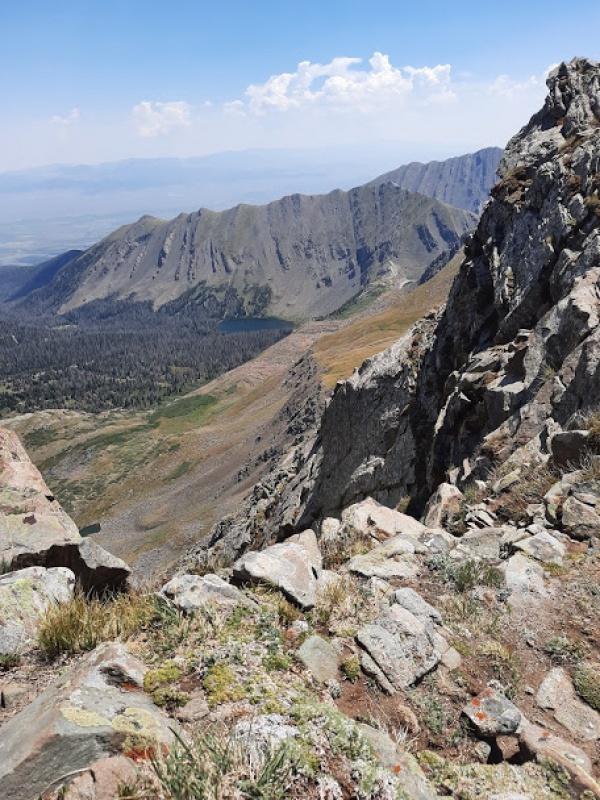
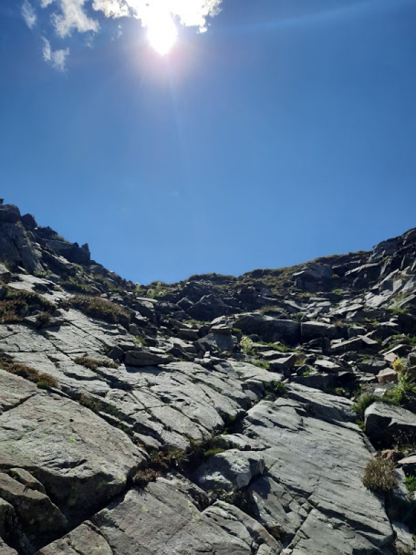
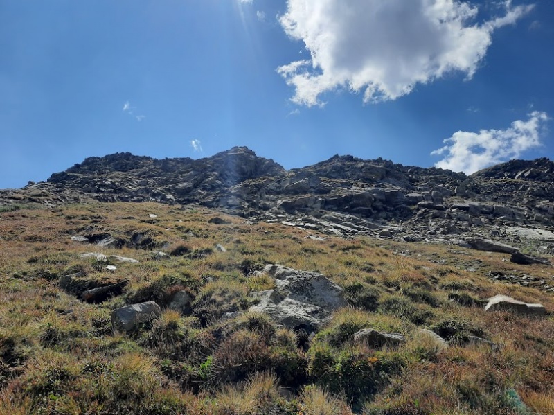
 As I sat on the empty summit looking West I revisited my plan for the day. It was now close to noon and they were calling for afternoon thunderstorms. I knew it would take me at least another 2-2.5 hours to summit Eureka and make it back to camp. Eureka wasn't looking too appealing with all that steep tundra leading to the sub peak between it and Hermit and, nor was the steep tundra up to the peak itself looking appealing. With that I decided to scratch Eureka for the day, but I didn't feel that the 10 min hike down Hermit followed by the hour road hike back down to camp would make for a fulfilling end to the day. So I opted to take Hermit's ridge over to the tundra basin that connects it to Eureka and descend a cliff band to reach the lake, and ultimately, the road. 


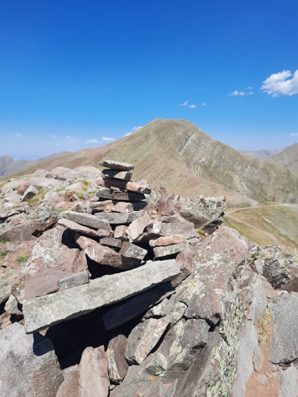
Final thoughts: This was fun for my first solo hike. I didn't want to go anywhere desolate until I knew how I would handle being alone in the wilderness. After this I'm ready for more solo hikes, and I actually rather enjoyed the solitude. Having both summits to myself was a nice treat and reminded me again of why 13ers will always rule 14ers. The number of benefits they offer in comparison will always win. After living at the foot of Greenhorn Mountain most of my life, I'm shocked that I haven't spent more time in the Sangres since they are literally RIGHT THERE! I'll have to fix that :) I know I'll return to this area of the Sangres for Peak of the Clouds and Spread Eagle, but I'm not sure Eureka is in my near future. It just looked less and less appealing as the day went on. Hermit Pass is not for the faint of heart, I know it's by no means the worst road ever, but it sure does suck. Thumbnails for uploaded photos (click to open slideshow): ")
")
")
")
")
")
")
")
")
")
")
")
")
")
")
")
")
")
")
")
")
")
")
")
")
")
")
")
")
")
")
")
")
")
")
")
")
")
")
")
")
")
")
")
")
")
")
")
")
")
|
| Comments or Questions | ||||||
|---|---|---|---|---|---|---|
|
Caution: The information contained in this report may not be accurate and should not be the only resource used in preparation for your climb. Failure to have the necessary experience, physical conditioning, supplies or equipment can result in injury or death. 14ers.com and the author(s) of this report provide no warranties, either express or implied, that the information provided is accurate or reliable. By using the information provided, you agree to indemnify and hold harmless 14ers.com and the report author(s) with respect to any claims and demands against them, including any attorney fees and expenses. Please read the 14ers.com Safety and Disclaimer pages for more information.
Please respect private property: 14ers.com supports the rights of private landowners to determine how and by whom their land will be used. In Colorado, it is your responsibility to determine if land is private and to obtain the appropriate permission before entering the property.


