Download Agreement, Release, and Acknowledgement of Risk:
You (the person requesting this file download) fully understand mountain climbing ("Activity") involves risks and dangers of serious bodily injury, including permanent disability, paralysis, and death ("Risks") and you fully accept and assume all such risks and all responsibility for losses, costs, and damages you incur as a result of your participation in this Activity.
You acknowledge that information in the file you have chosen to download may not be accurate and may contain errors. You agree to assume all risks when using this information and agree to release and discharge 14ers.com, 14ers Inc. and the author(s) of such information (collectively, the "Released Parties").
You hereby discharge the Released Parties from all damages, actions, claims and liabilities of any nature, specifically including, but not limited to, damages, actions, claims and liabilities arising from or related to the negligence of the Released Parties. You further agree to indemnify, hold harmless and defend 14ers.com, 14ers Inc. and each of the other Released Parties from and against any loss, damage, liability and expense, including costs and attorney fees, incurred by 14ers.com, 14ers Inc. or any of the other Released Parties as a result of you using information provided on the 14ers.com or 14ers Inc. websites.
You have read this agreement, fully understand its terms and intend it to be a complete and unconditional release of all liability to the greatest extent allowed by law and agree that if any portion of this agreement is held to be invalid the balance, notwithstanding, shall continue in full force and effect.
By clicking "OK" you agree to these terms. If you DO NOT agree, click "Cancel"...
Friday, July 31, 2020. Many years ago, my dad and I planned to combine Deer Mountain, Unnamed (UN) 13736, and Mt. Champion, but early morning rain dampened our enthusiasm for the long ridge between Deer and UN 13736, and we ended up taking two days to climb all three peaks.
With a great weather forecast for the weekend, Randy and I were confident we could reach all three summits in a day, especially if we started with Deer Mountain. Knowing that the camping options at the trailhead were very limited, we instead opted for a nice site near the Willis Gulch trailhead.
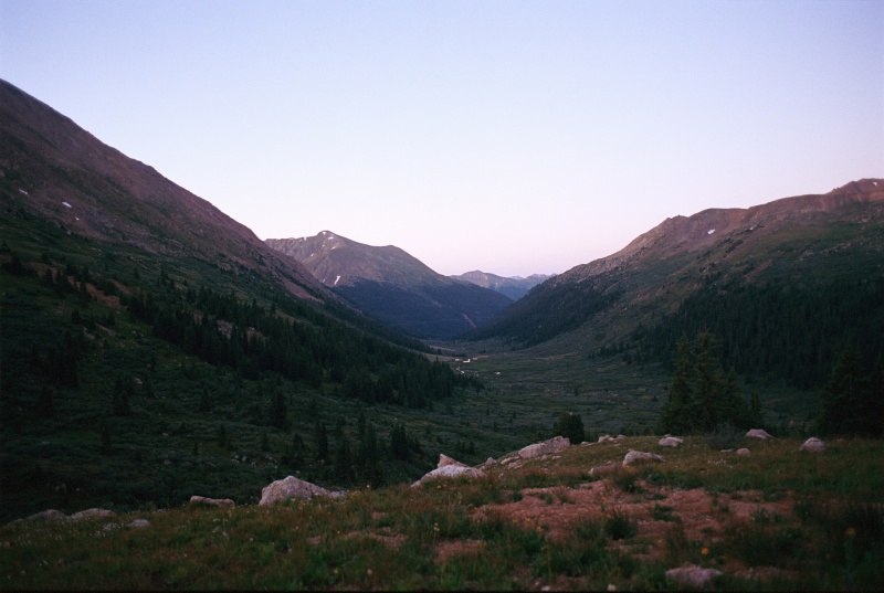
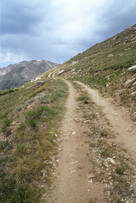
Saturday, Aug. 1, 2020. We broke camp in the dark and drove to the trailhead near the first switchback below Independence Pass. We had no trouble following the nice trail north in the dark. The trail parallels North Fork Lake Creek and eventually goes past an unnamed lake at 12,378' and over the west ridge of Deer Mountain.
Looking north up the North Fork Lake Creek drainage in the early morning light
Just below an unnamed lake at 12,378'
We left the trail just north of the lake and headed east toward Deer Mountain.
The west ridge of Deer Mountain is Class 2
Looking NNW from the west ridge of Deer Mountain; the Fryingpan Lakes are visible at right
UN 13736 from the west ridge of Deer Mountain (taken from the same location as the previous photo)
Looking down the ridge we ascended on Deer Mountain. The unnamed lake at 12,378' is visible on the left.
There was a summit register on Deer Mountain (13,761') with only seven signatures earlier in 2020.
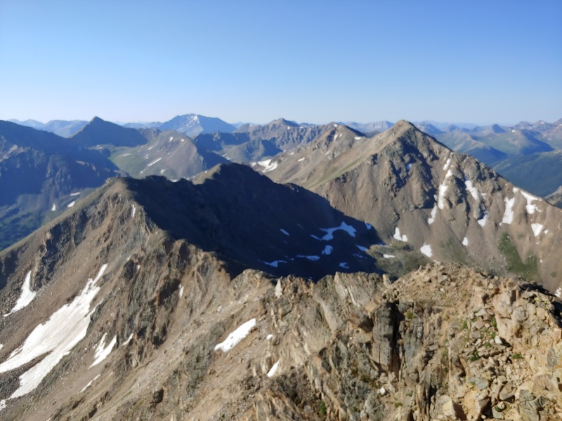
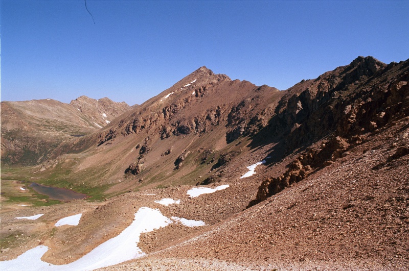
From Deer Mtn's summit looking south at the ridge to UN 13736 (right) and Mt. Champion; it was nice to have great weather, although there are places to bail out if necessary
After a break for snacks on Deer Mountain's summit, we continued south toward UN 13736. The ridge looked long, but skies were almost totally clear.
Looking back (north) toward Deer Mountain from the ridge between it and UN 13,736
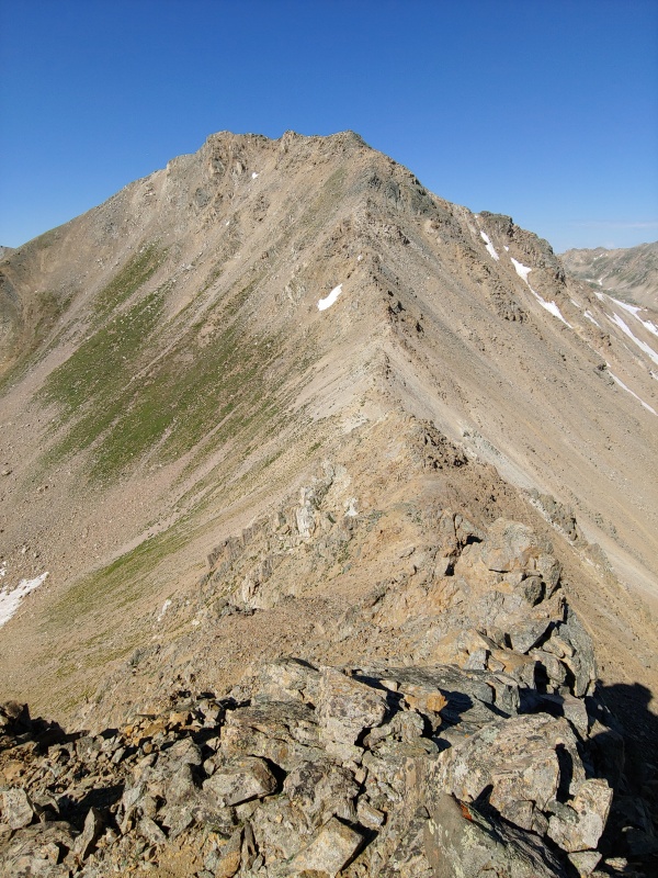
Looking south from the same location as the previous photo; UN 13736 is on the right, and Mt. Champion is in the center (in the background)
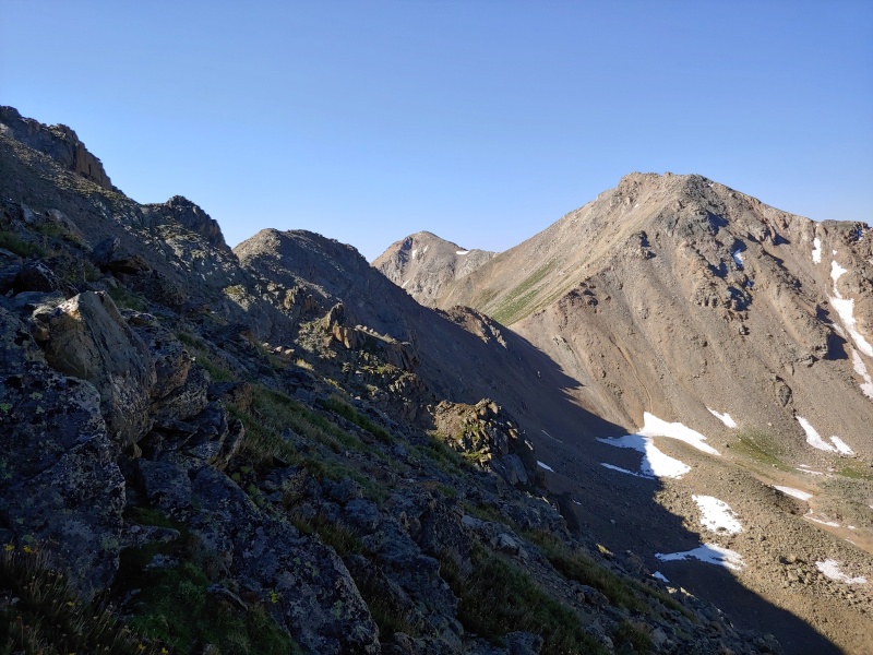
The north ridge of UN 13736; once we reached the Deer - UN 13736 saddle, the ridge was much easier
Looking back toward Deer Mountain from the Deer - UN 13736 ridge; we bypassed most obstacles on the west side of the ridge
Deer Mountain seen from the saddle between it and UN 13,736
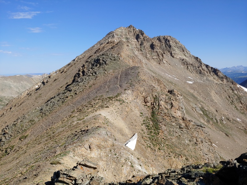
Looking up the ridge toward the summit of UN 13,736
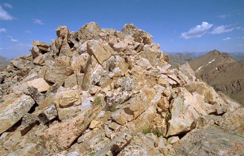
The summit of UN 13736 with Deer Mountain visible to its right; UN 13736 did not have a summit register
Randy takes a selfie on the summit of UN 13736 with Deer Mtn. in the background
Most of the distance and elevation gain for the day was behind us when we reached the summit of UN 13736 and took a lunch break. The ridge from UN 13736 to Mt. Champion was very easy.
The summit register on Mt. Champion had more names in 2020 than the register on Deer Mountain, perhaps because Mt. Champion is a short climb from the jeep road that goes to Champion Mine.
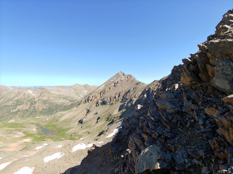
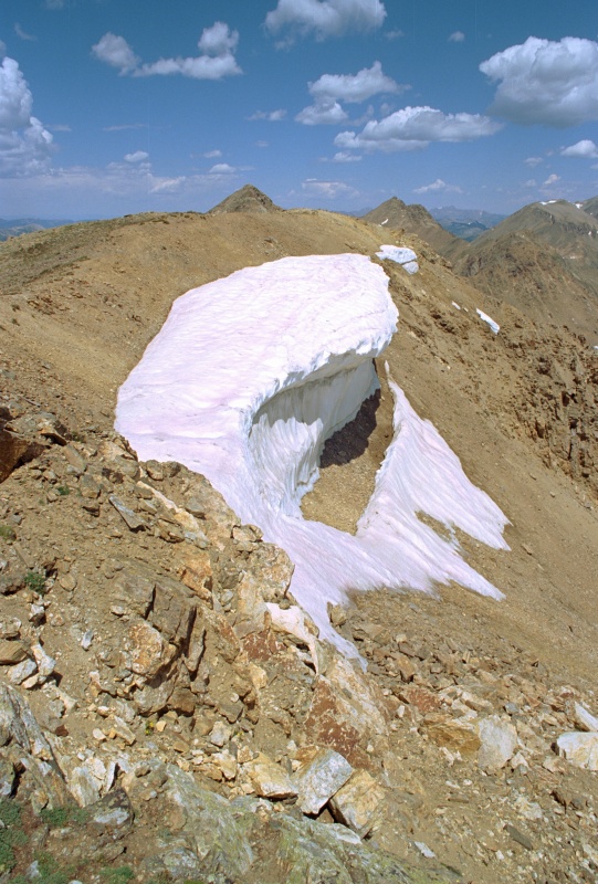
On the summit of Mt. Champion looking north toward UN 13,736 (center-left) and Deer Mountain (center-right); you might want to keep off the snow
A better view of the corniced snow seen on Mt. Champion's summit in the previous photo
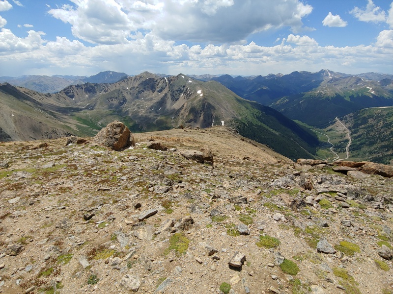
Looking southwest from the summit of Mt. Champion, with CO 82 (Independence Pass Road) and the trailhead visible at the switchback (right)
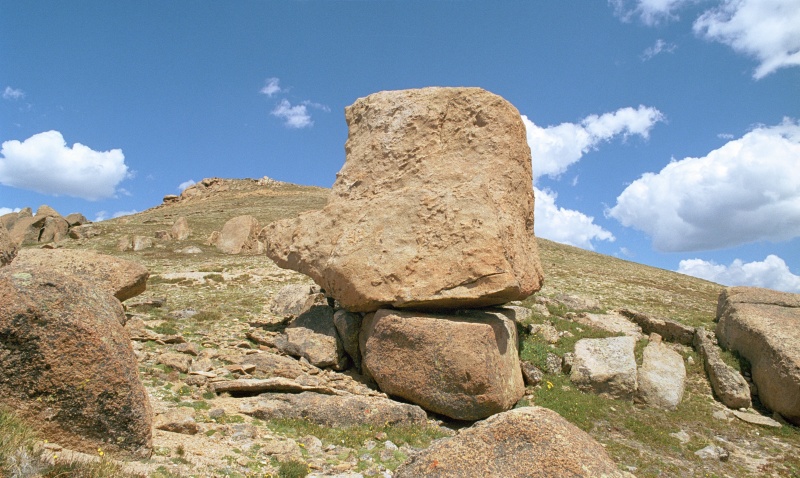
The descent of Mt. Champion's south ridge took us past a lot of large boulders...
...like these
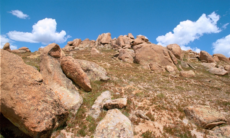
Looking up Mt. Champion's south ridge
On the descent south from Mt. Champion, we couldn't resist spending some time exploring Champion Mine
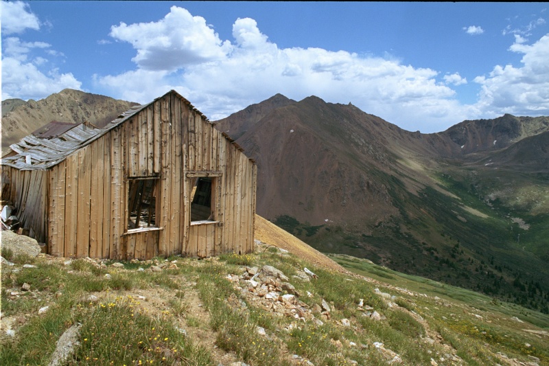
This old building at Champion Mine has seen better days
Another view of the old building at Champion Mine
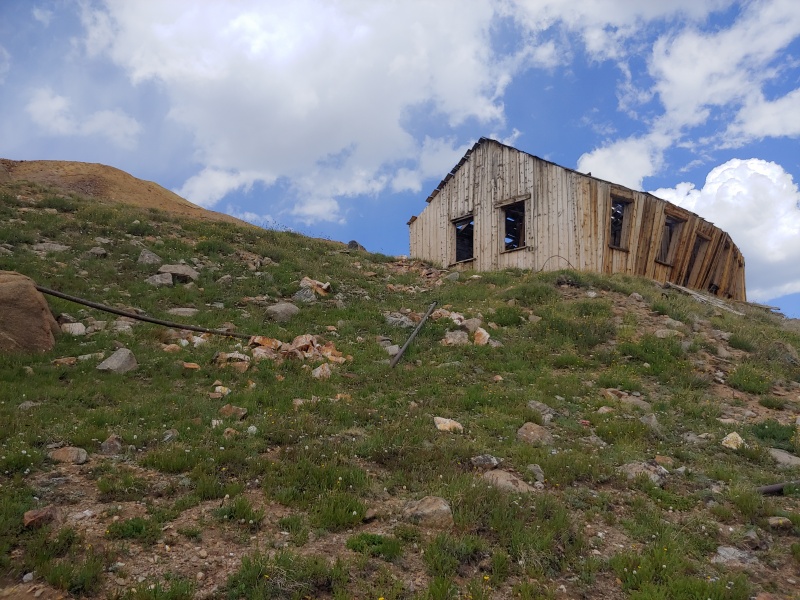
A view of the building from above
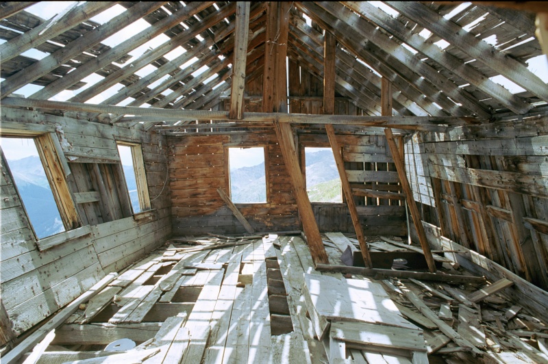
It doesn't look much better inside
A totally collapsed building at Champion Mine
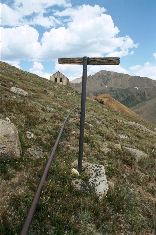
More artifacts at Champion Mine
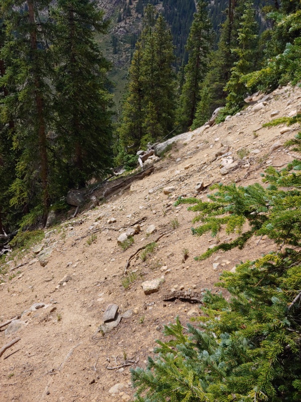
Looking west along the road below Champion Mine, which we followed before doing a descending contour to reach an informal trail
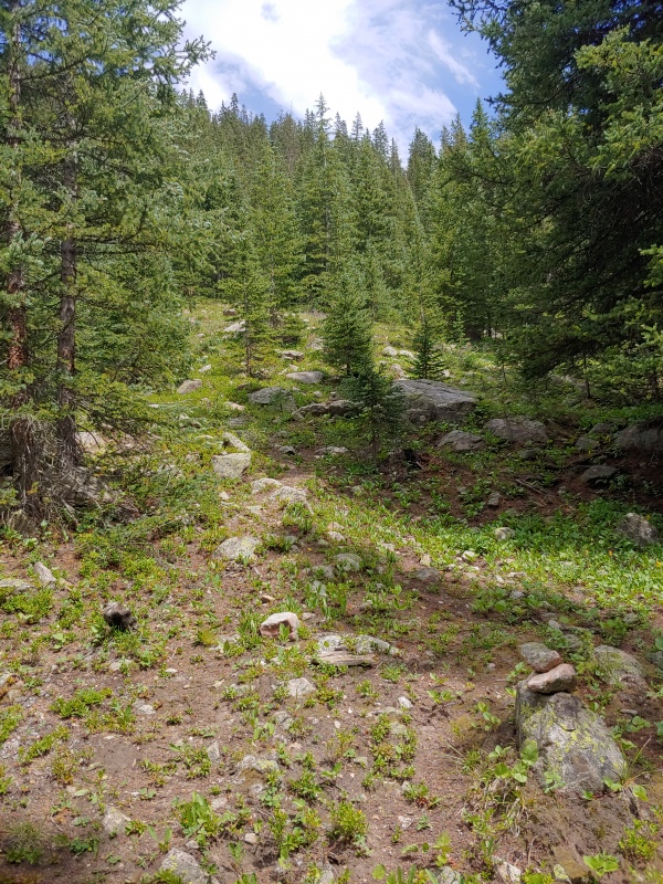
The very rustic trail we followed down Mt. Champion. It was well-cairned, however
Looking back up the trail we followed down from Mt. Champion. Can you spot all the cairns?
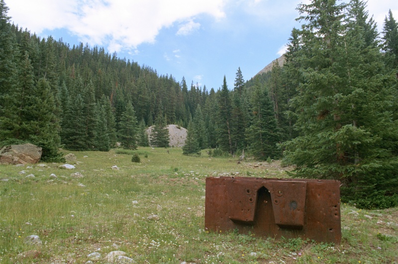
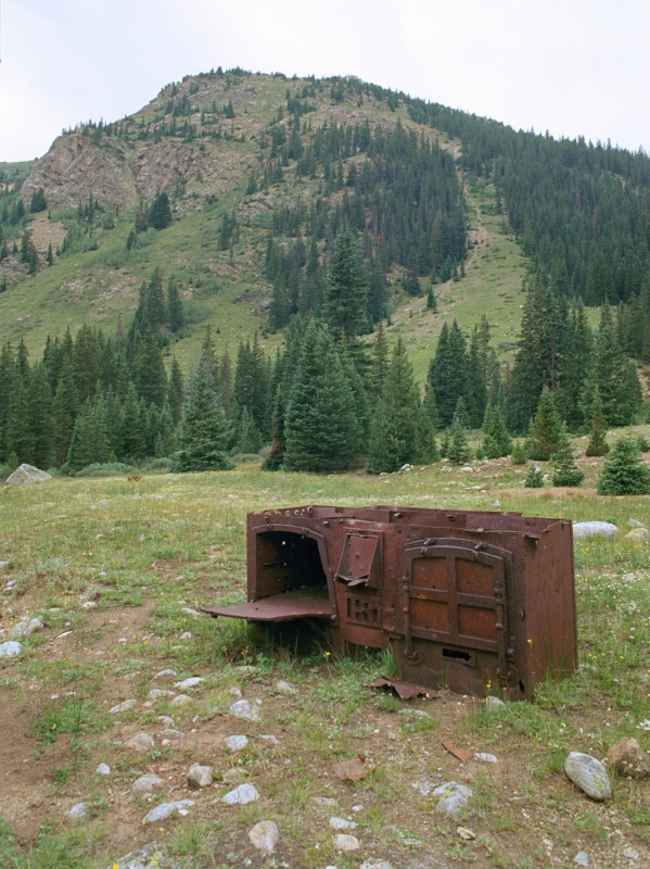
An old stove in a meadow not too far from the trailhead
Another look at the stove
Our route worked out well today, and we recommend that anyone combining these three peaks start with Deer Mountain and then continue south along the ridge to UN 13736 and Mt. Champion. That allows you to follow a trail most of the way to Deer Mountain, which helps if you have an early (pre-dawn) start. Also, any bushwhacking is downhill, at the end of the hike, and in full daylight. We would have had a hard time following the rustic trail south of Mt. Champion in the early morning darkness.
Thumbnails for uploaded photos (click to open slideshow):
Love the pics looks about as interesting as the range gets and cool mine photos. But truly no photo is more impressive than your profile pic. AR12 for life!
Did this exact route about this time last year. I remember the south ridge of Deer being really loose and sketchy, but it wasn't enough to take away from the great day. Lots of smooth, flat hiking before treeline, plenty of fun ridge, some spice, and some mine ruins. One of my favorite places, thanks jogging my memory!
After reading your report did this today, was a lot of fun and great views. Only ran into one tricky spot that seemed class 3 coming off deer almost to the saddle with 13736. Went east side and it was pretty sandy on rock with exposure, maybe west was more solid. Definitely also didnt find the trail from the mine but picked it up down in the trees...but really it is a walk in the park down and out.
Was about 10miles loop and 6hrs, but lots of stops.
Thanks again.
Super great report with pics
Looking to do this soon.
Great pics of deer mtn and the traverse. I will do the route that direction as you suggested
Caution: The information contained in this report may not be accurate and should not be the only resource used in preparation for your climb. Failure to have the necessary experience, physical conditioning, supplies or equipment can result in injury or death. 14ers.com and the author(s) of this report provide no warranties, either express or implied, that the information provided is accurate or reliable. By using the information provided, you agree to indemnify and hold harmless 14ers.com and the report author(s) with respect to any claims and demands against them, including any attorney fees and expenses. Please read the 14ers.com Safety and Disclaimer pages for more information.
Please respect private property: 14ers.com supports the rights of private landowners to determine how and by whom their land will be used. In Colorado, it is your responsibility to determine if land is private and to obtain the appropriate permission before entering the property.


")
")
")
")
")
")
")
")
")
")
")
")
")
")
")
")
")
")
")
")
")
")
")
")
")
")
")
")
")
")
")
")
")