| Report Type | Full |
| Peak(s) |
Culebra Peak - 14,053 feet |
| Date Posted | 08/05/2020 |
| Date Climbed | 07/26/2020 |
| Author | arianna2 |
| God, Fog, and Culebra |
|---|
|
After climbing Lindsey and fishing the creek there, we broke camp and headed toward Culebra. They have signs up for "local traffic only", and "road closed" on the road that is the shortest to San Luis so that you don't have to go all the way back to Walsenburg. However, google maps had another entry point that didn't have those signs that we decided to try. Thank God, because we were hungry, it was getting late and we already had a ways to drive and really did not want to have to go another hour out of the way. I am not sure why those signs are up, either we passed the issue with the other road or they just have those signs up to avoid thru traffic. We were able to get through and finally to San Luis. Once again, everything seemed deserted. Thankfully the Thai place was open, aren't they always... through anything! Very thankful. It doesn't take long from there to the ranch's gate. That is on google maps as well. You have the choice of car camping in a line or carrying your stuff over the fence and tent camp. There is an outhouse there but watch out...there is no lock on the door. I would suggest parking back a ways or setting your tent further away if you don't want to be kept up by others or have headlights shine into your car window. 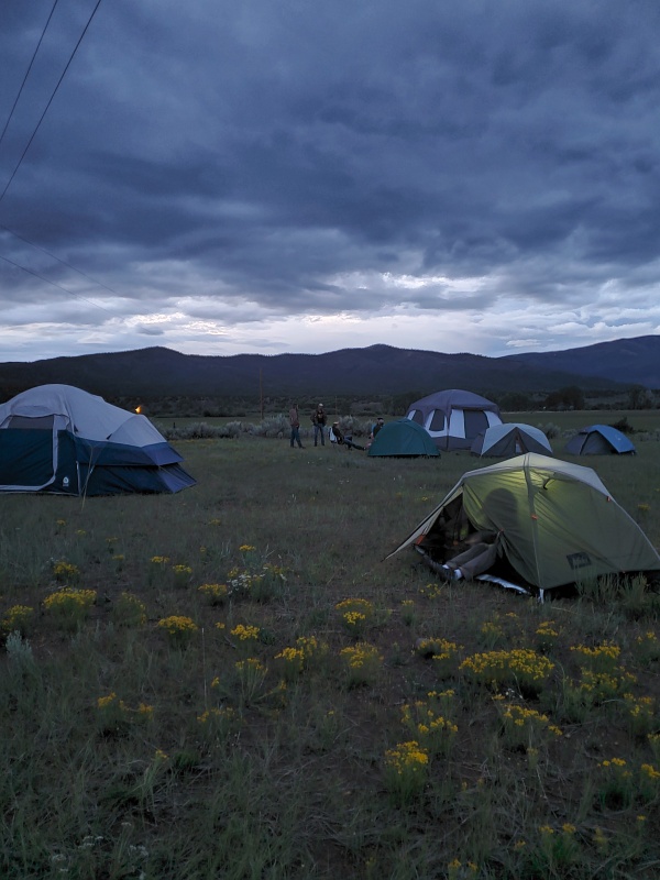
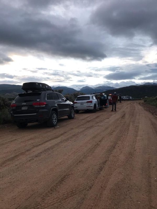
When I woke up in the morning and saw the cloud cover, I had some worry we wouldn't be able to climb. Would have been nice to start sooner. It did lighten up, but the clouds and fog never got off the mountain. But, you figure this is Colorado, just wait 5 minutes. They opened the gate at 6 and each car had to stop and make sure you are on the list and then drive up to headquarters. We got out and had to wait a couple minutes but pretty soon everyone was there and he did a very short orientation and we were on our way. The road was a little muddy in places and there were a few larger bumps and humps that would give me pause if I was in a small low clearance vehicle. Still could probably be done though. We wanted to get the true elevation gain for a 14er so we parked at Four Way while most others went up another mile to the mail trailhead. I think only three of the cars including us stopped here. It is an easy walk on the road and a good warm up. Cross the parking lot and stream (last place to filter water) and head up the relentless hill. 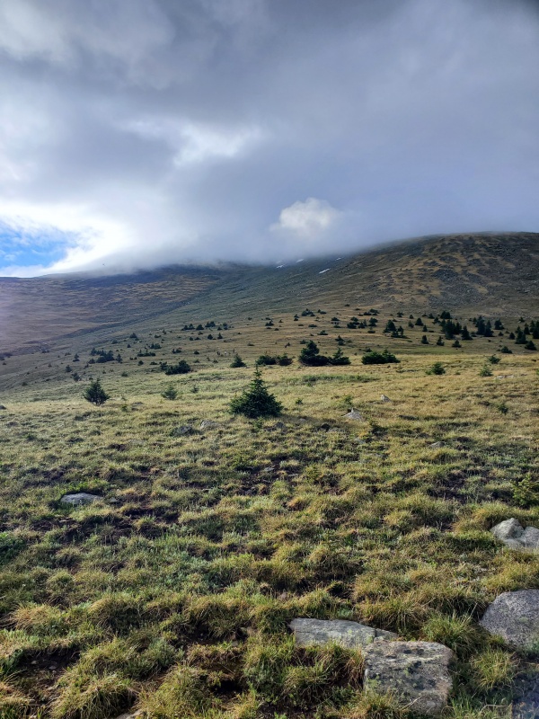
Kinda had to follow where others were going since we couldn't see much. I think you could go up anywhere but that might make it a little more difficult at the top. We stayed over to the right and took that line. 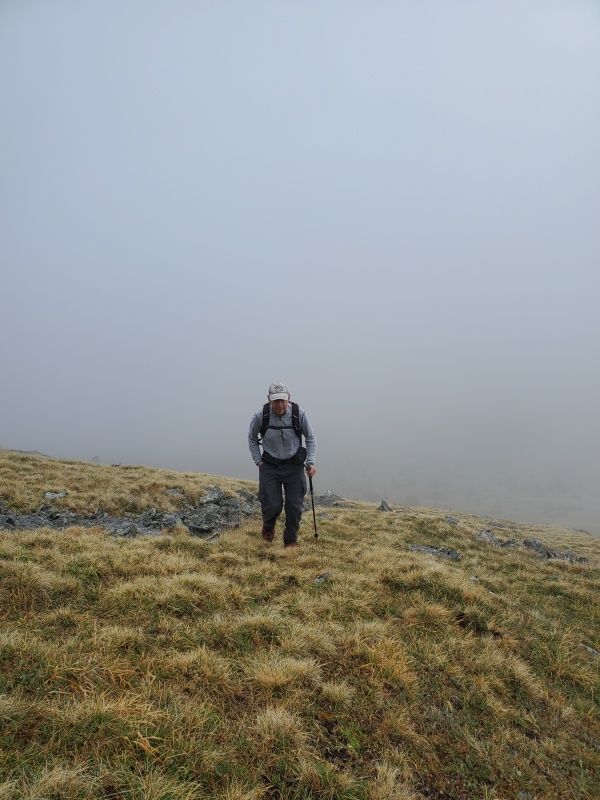
We prayed for a little better view but we were happy that nothing looked threatening and we could continue on. Since there was no visibility, you had to be careful to not keep going straight once you are up on the hill. GPS helped us know to go more to the left and less to the right. I think a few people got tricked but not for long. Again, probably isn't an issue to see that huge cairn at the top if there was some visibility. 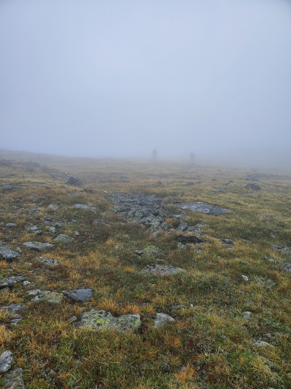
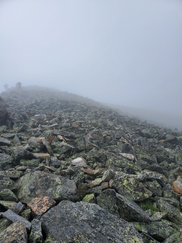
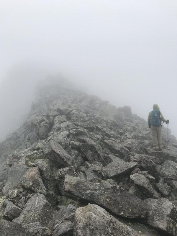
Surely the sun would burn off the fog... 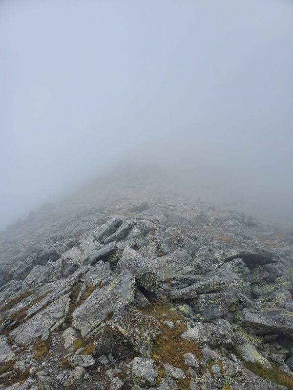
Nope 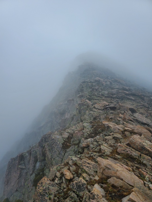
and still Nope. Looked like it could be pretty dramatic. Darn. 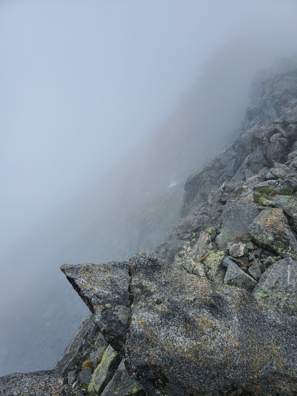
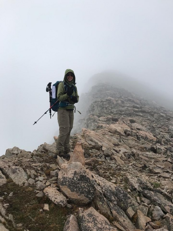
And that is how it stayed. Pretty sure this was the lowest visibility we have ever had on a summit. 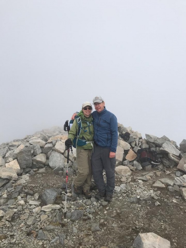
Another group and us stood on top feeling a little bad about the view but hoping that it still might open up. For a second you could see the sky. By the time you could get your phone out though it would disappear. They said you can see into New Mexico usually. 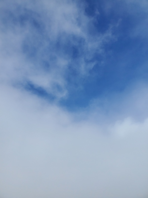
Needless to say we didn't hang around too long. We headed back in the same fog. I think it was back by the false summit somewhere that God showed us magnificent views. Words really can't describe the power behind what we were seeing, feeling, and thinking. It was an emotional moment for us. It is really the true meaning of Faith...the assurance of things hoped for, the conviction of things not seen. You can be walking through Fog (the biggest crap life has brought you, ie COVID for example) but something beautiful is behind it. It is there....just not seen yet. 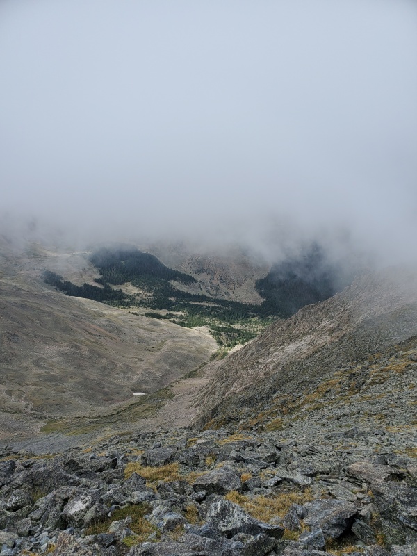
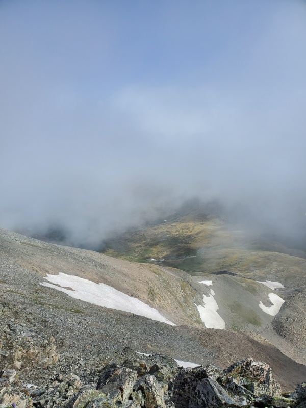
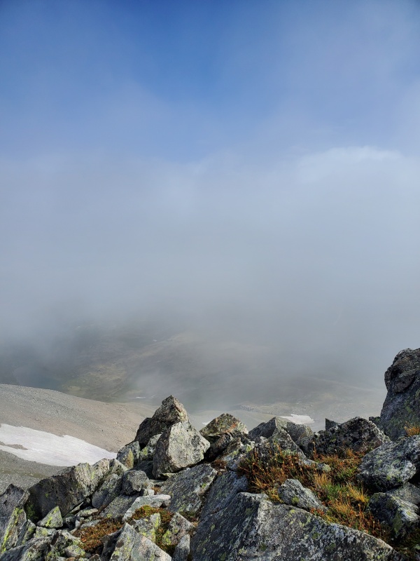
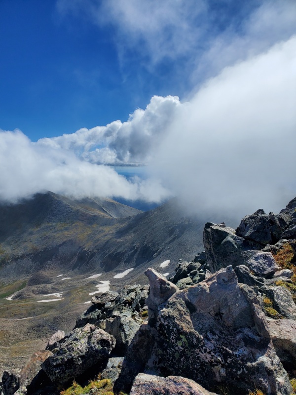
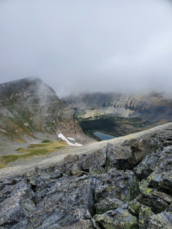
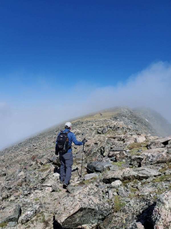
Here is a view of the summit so if you were there during this time, you probably didn't see what we saw 
The fog and clouds moved around fast. Sometimes we would have a view other times we didn't. We had plenty to think and talk about. Thankful no matter the circumstances. 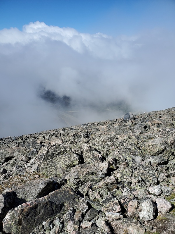
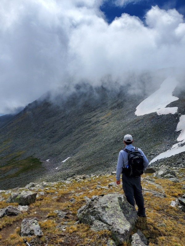
The hike down was uneventful. We were able to see that tall cairn at the top. We noticed that you could keep going straight from that cairn to go look off another mountain and there were some people on it. I am not sure of the name. The clouds continued to swallow the air behind us, they also got a little heavier and darker. By the time we were back down, it was all covered up again. 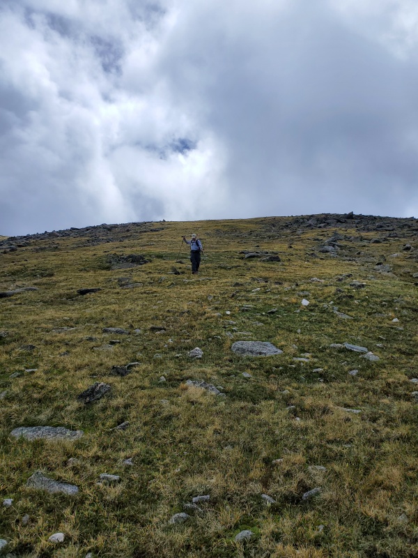
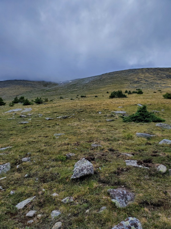
Here is a picture of the road and four way. I thought there would have been a true parking lot here but it really isn't. Just a place to pull off the road. 
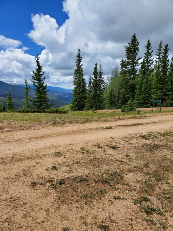
Back to Four Way by noon. Decided to go back to the Thai place for lunch, instead of eating our PB&Js, before our drive back home. 
|
| Comments or Questions | |||
|---|---|---|---|
|
Caution: The information contained in this report may not be accurate and should not be the only resource used in preparation for your climb. Failure to have the necessary experience, physical conditioning, supplies or equipment can result in injury or death. 14ers.com and the author(s) of this report provide no warranties, either express or implied, that the information provided is accurate or reliable. By using the information provided, you agree to indemnify and hold harmless 14ers.com and the report author(s) with respect to any claims and demands against them, including any attorney fees and expenses. Please read the 14ers.com Safety and Disclaimer pages for more information.
Please respect private property: 14ers.com supports the rights of private landowners to determine how and by whom their land will be used. In Colorado, it is your responsibility to determine if land is private and to obtain the appropriate permission before entering the property.
